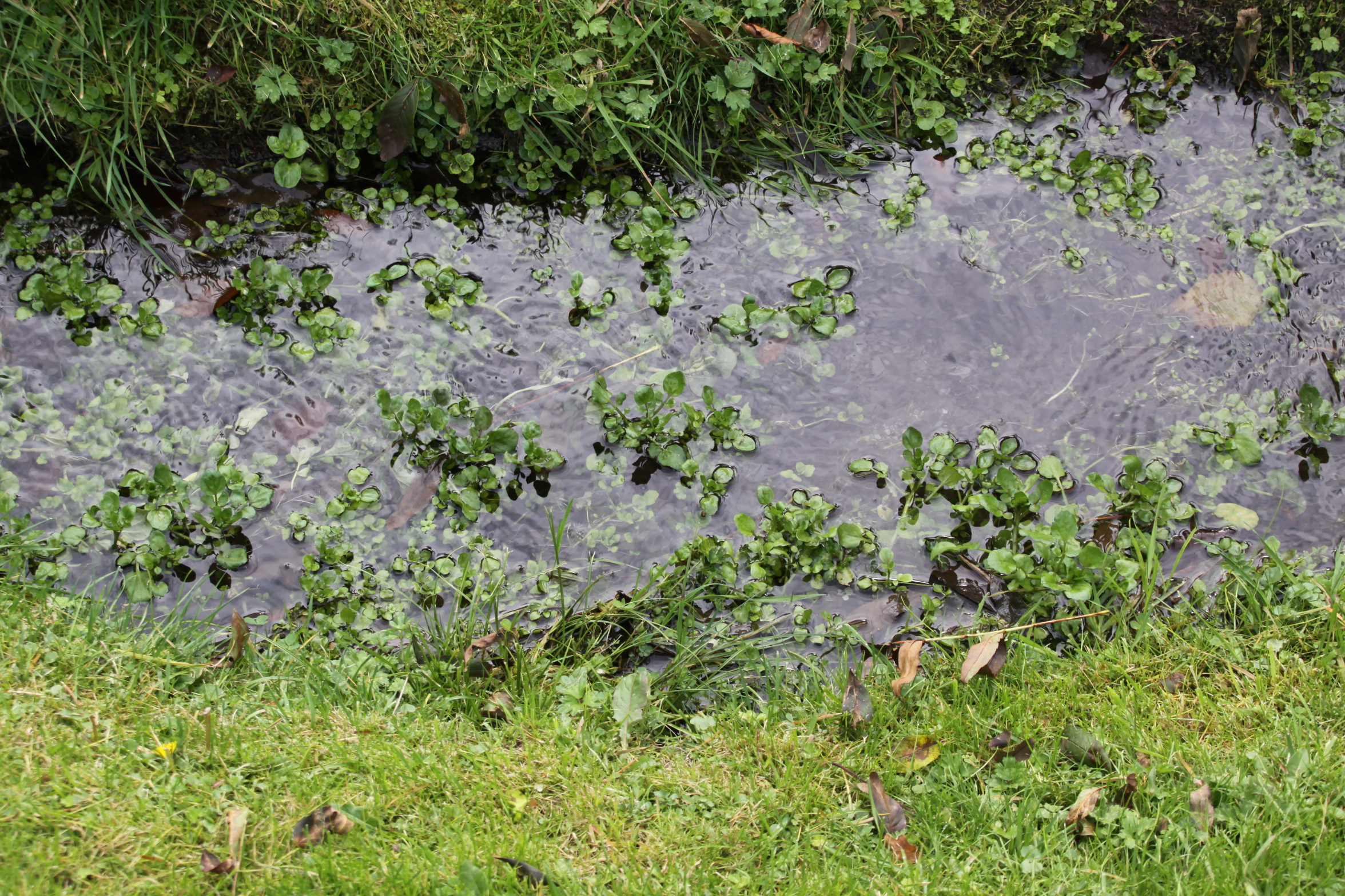
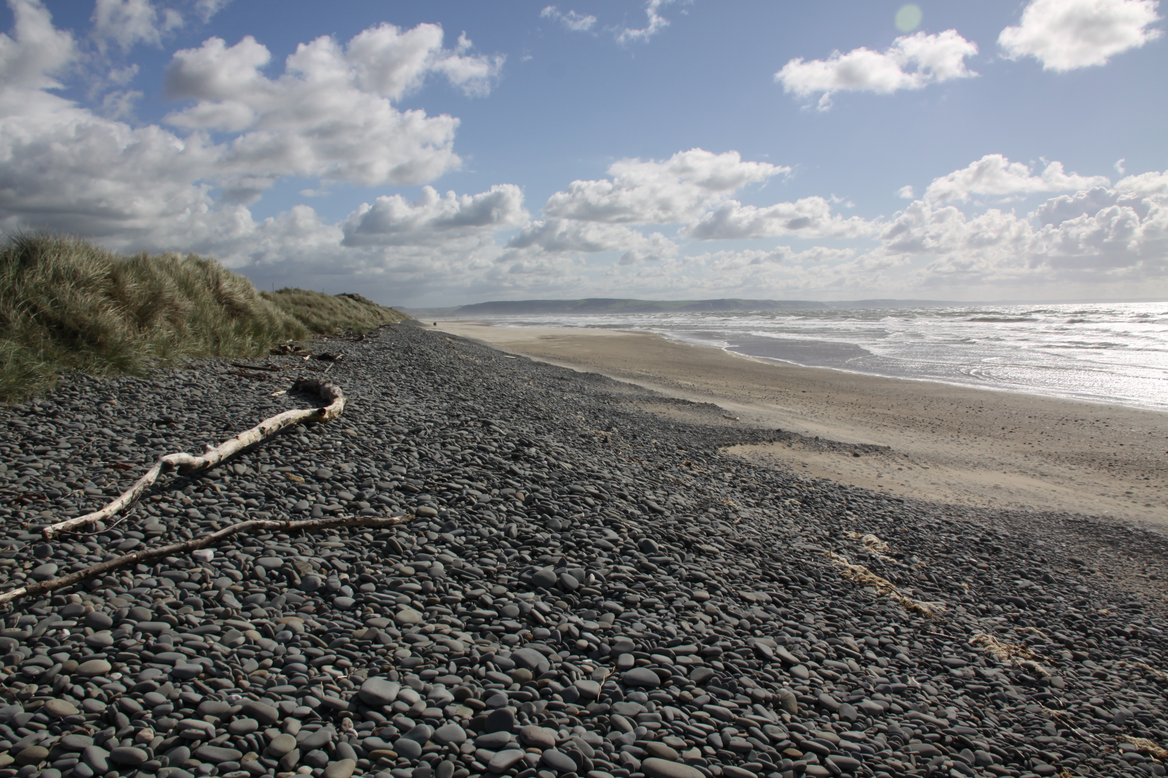
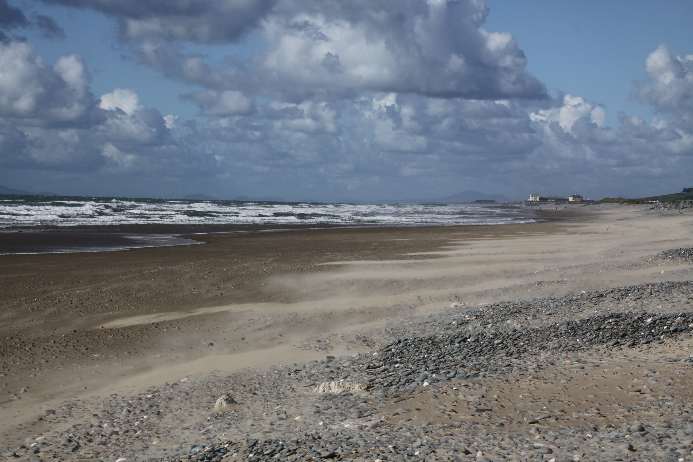
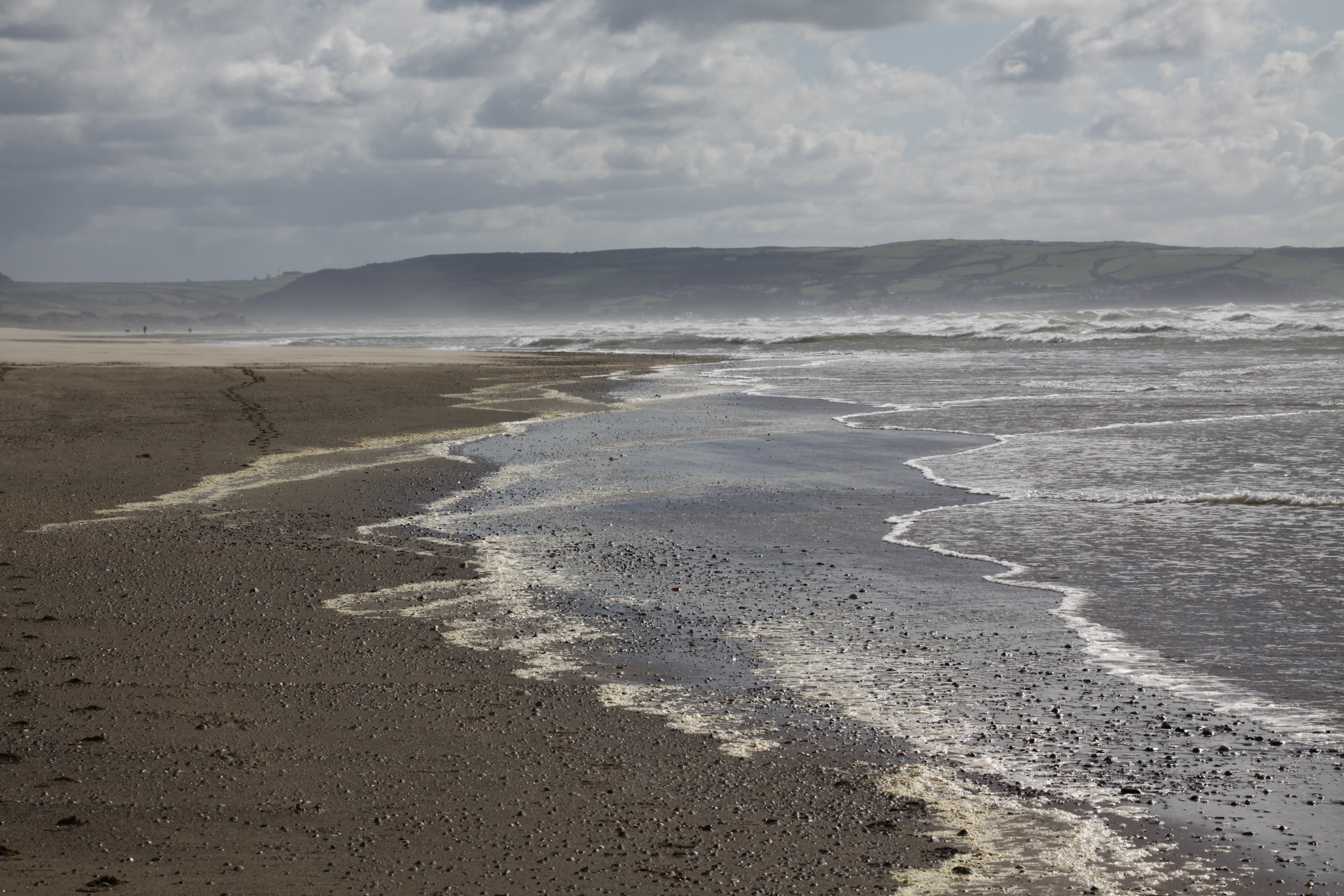
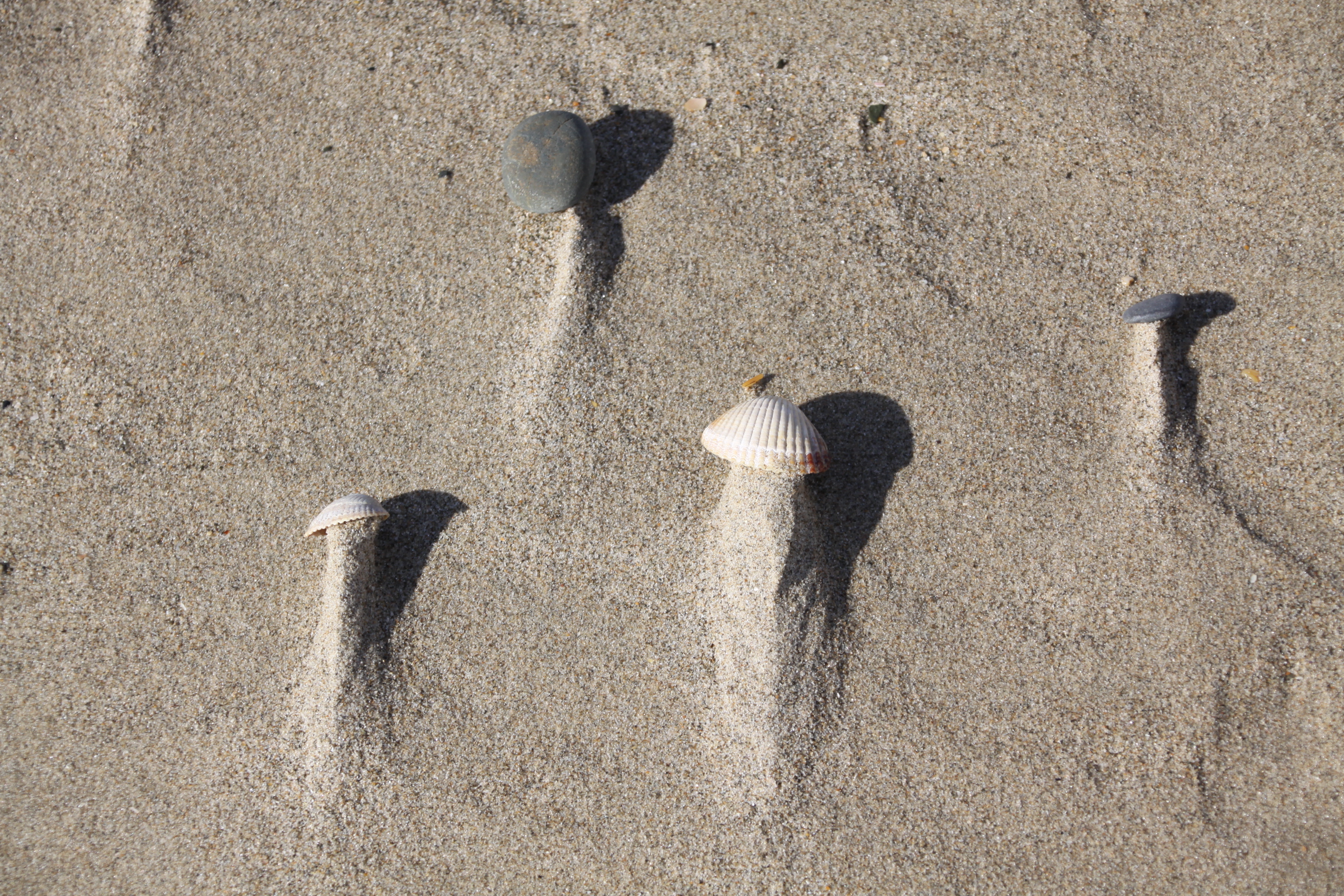
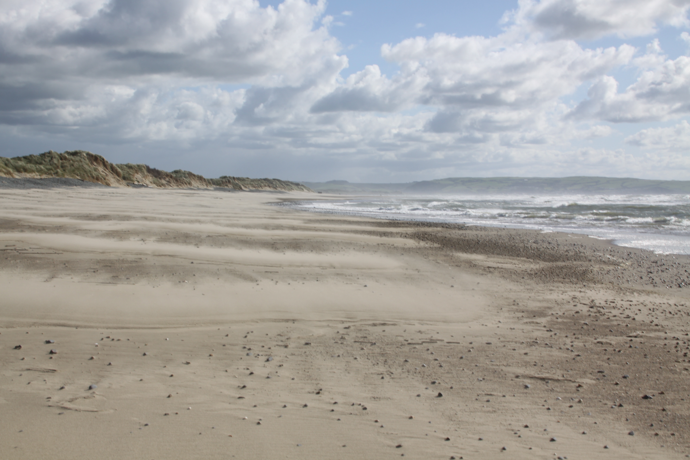
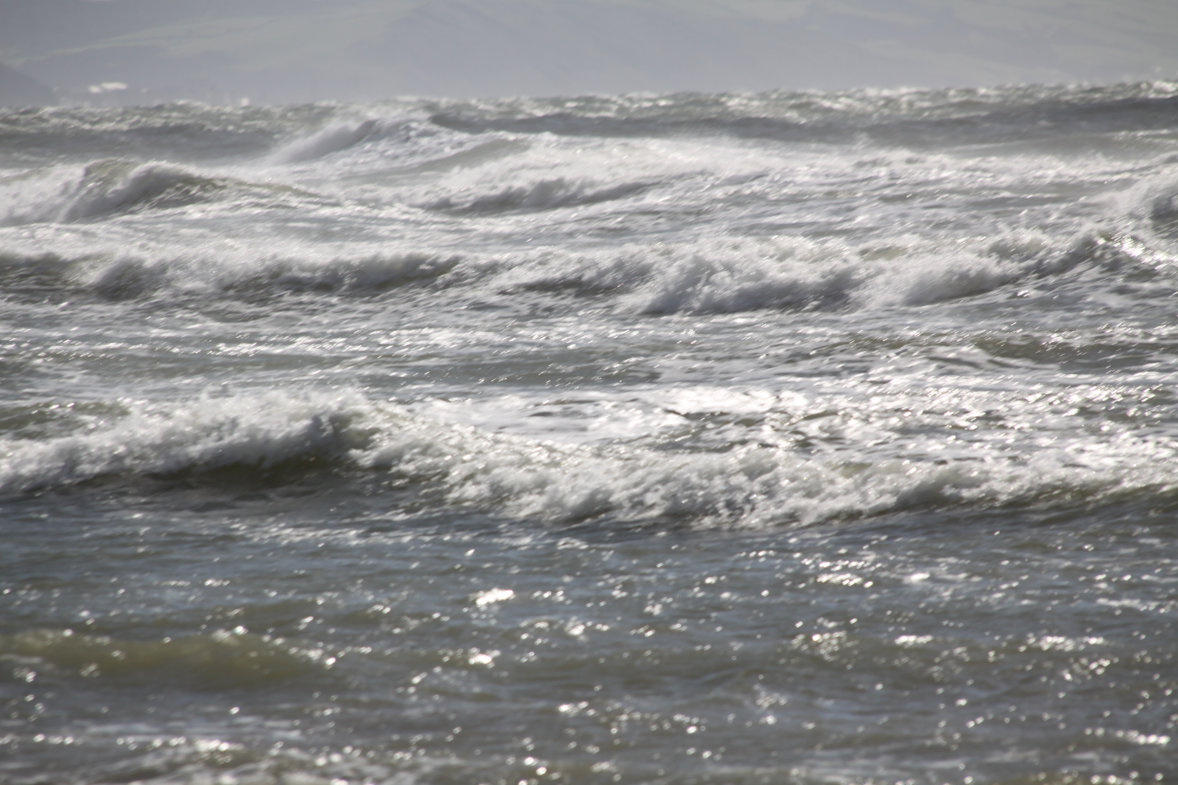
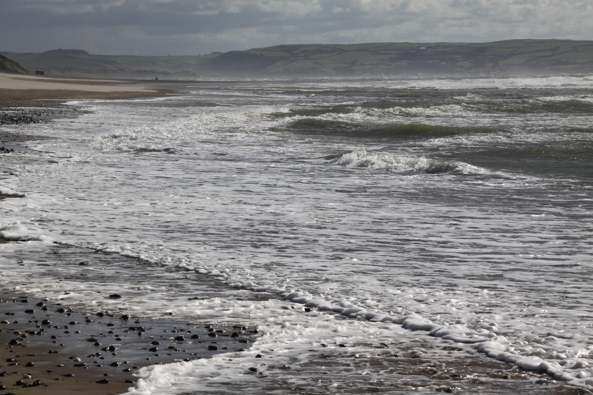
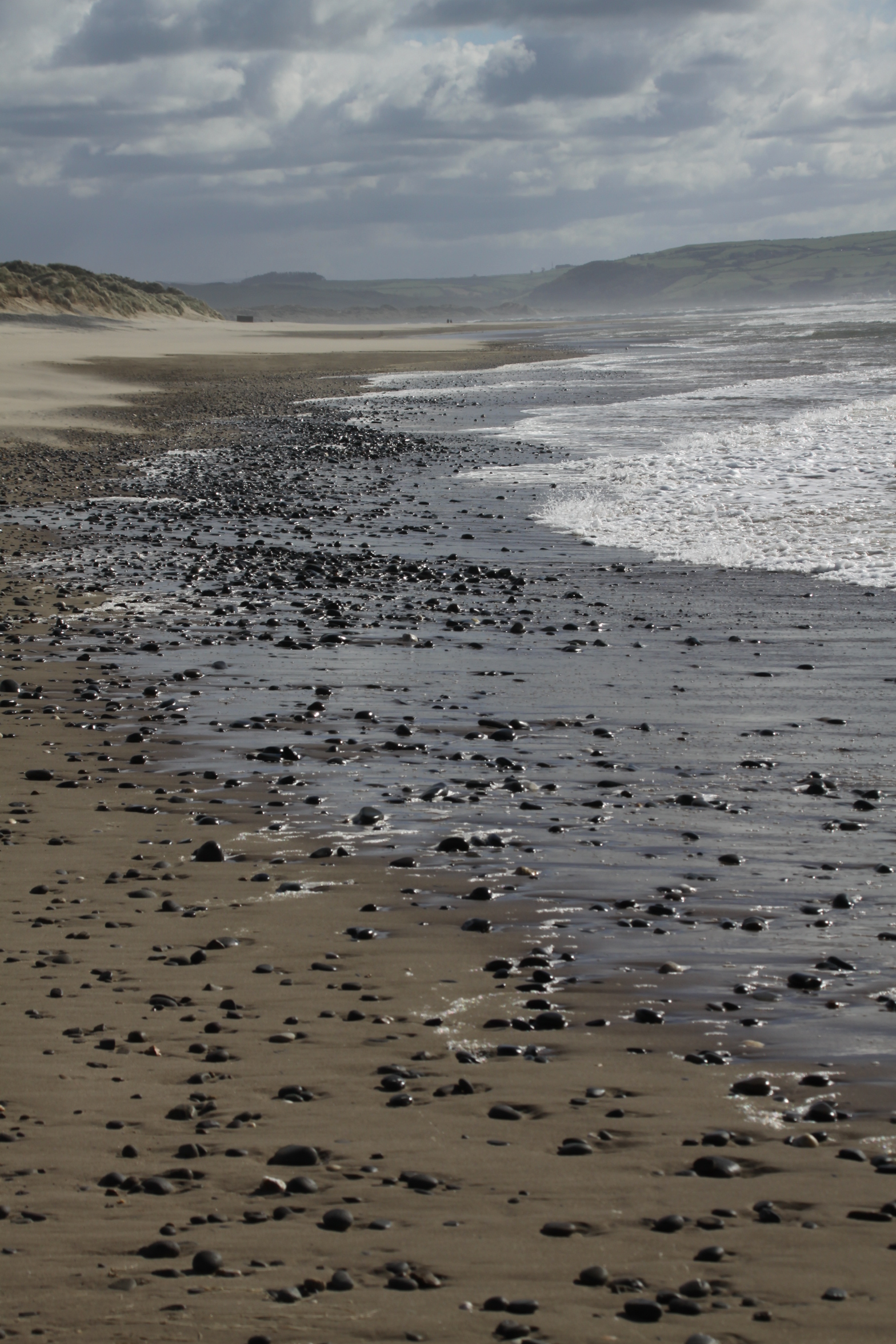
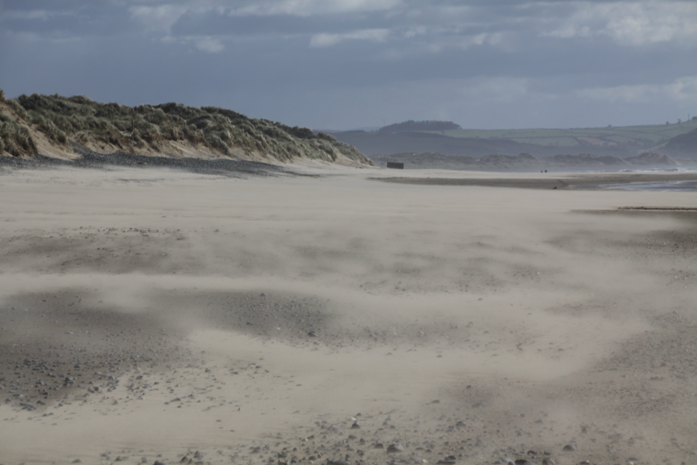
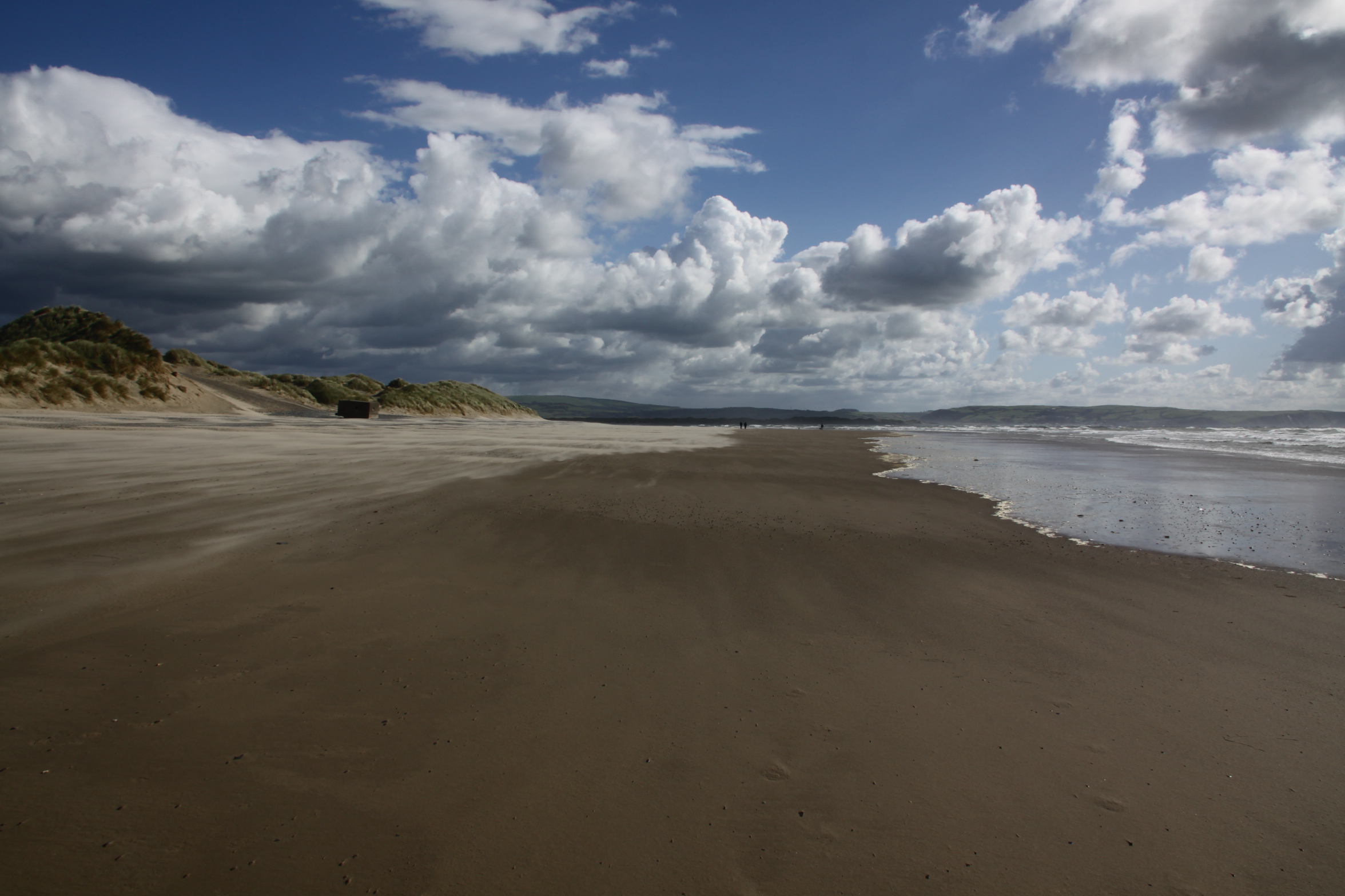
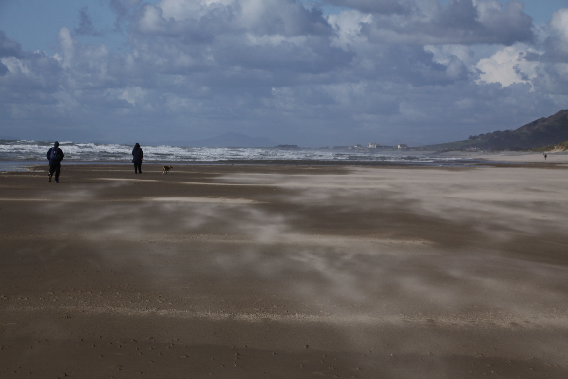
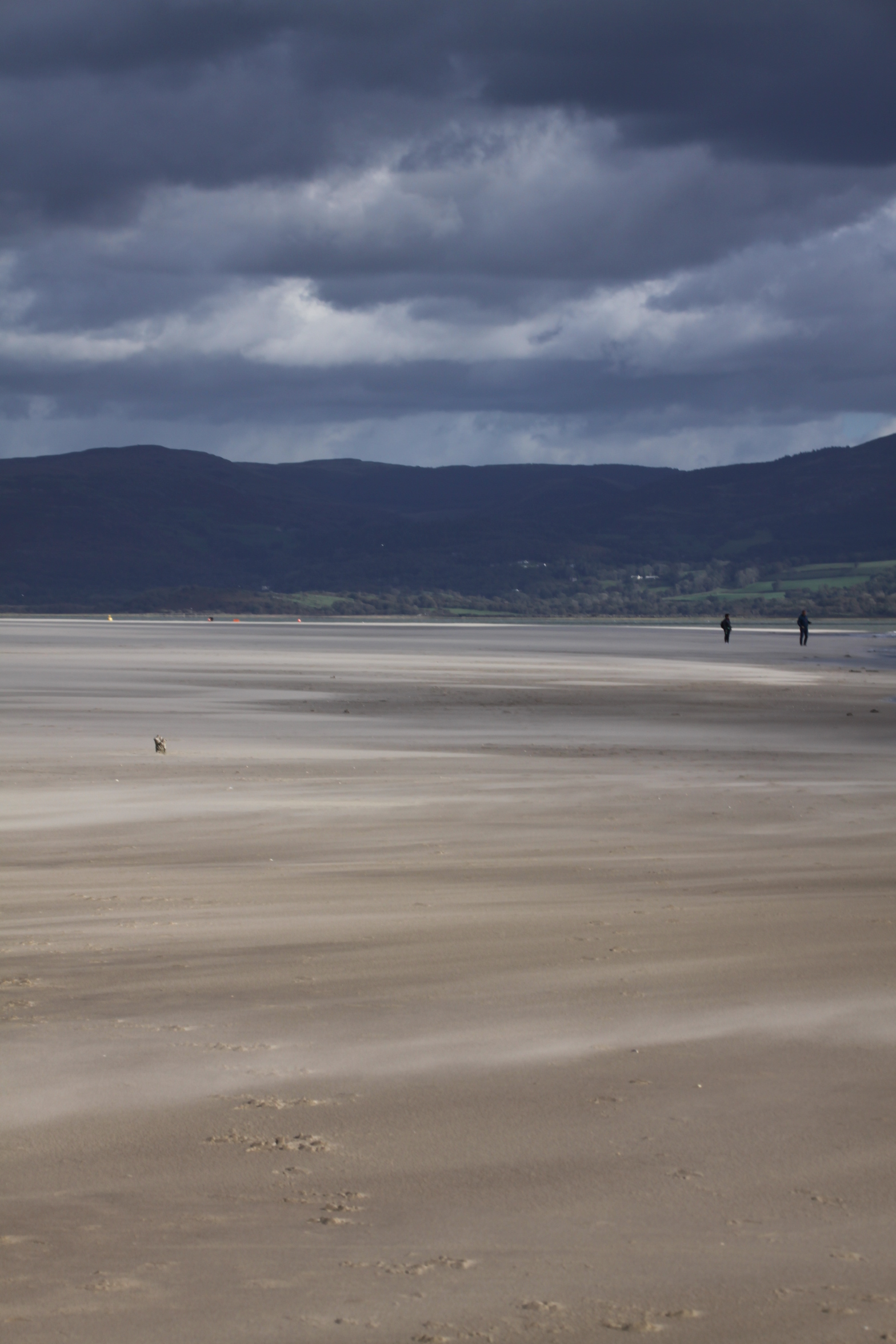
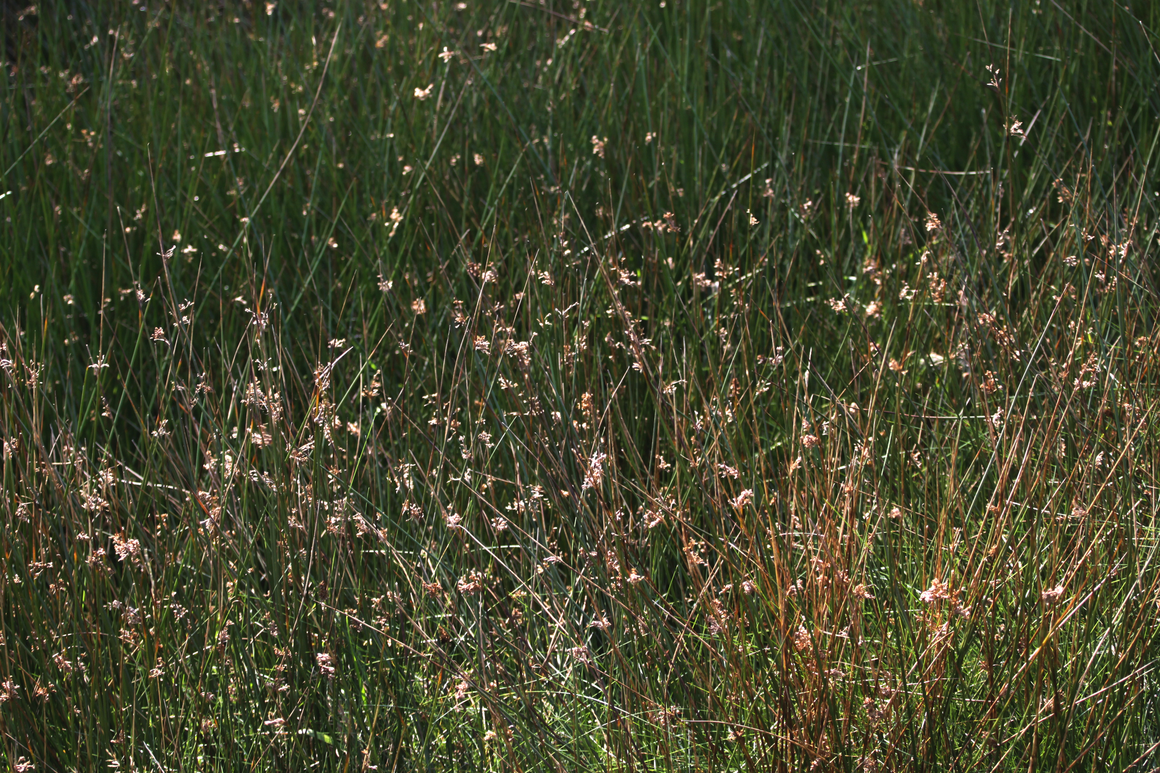
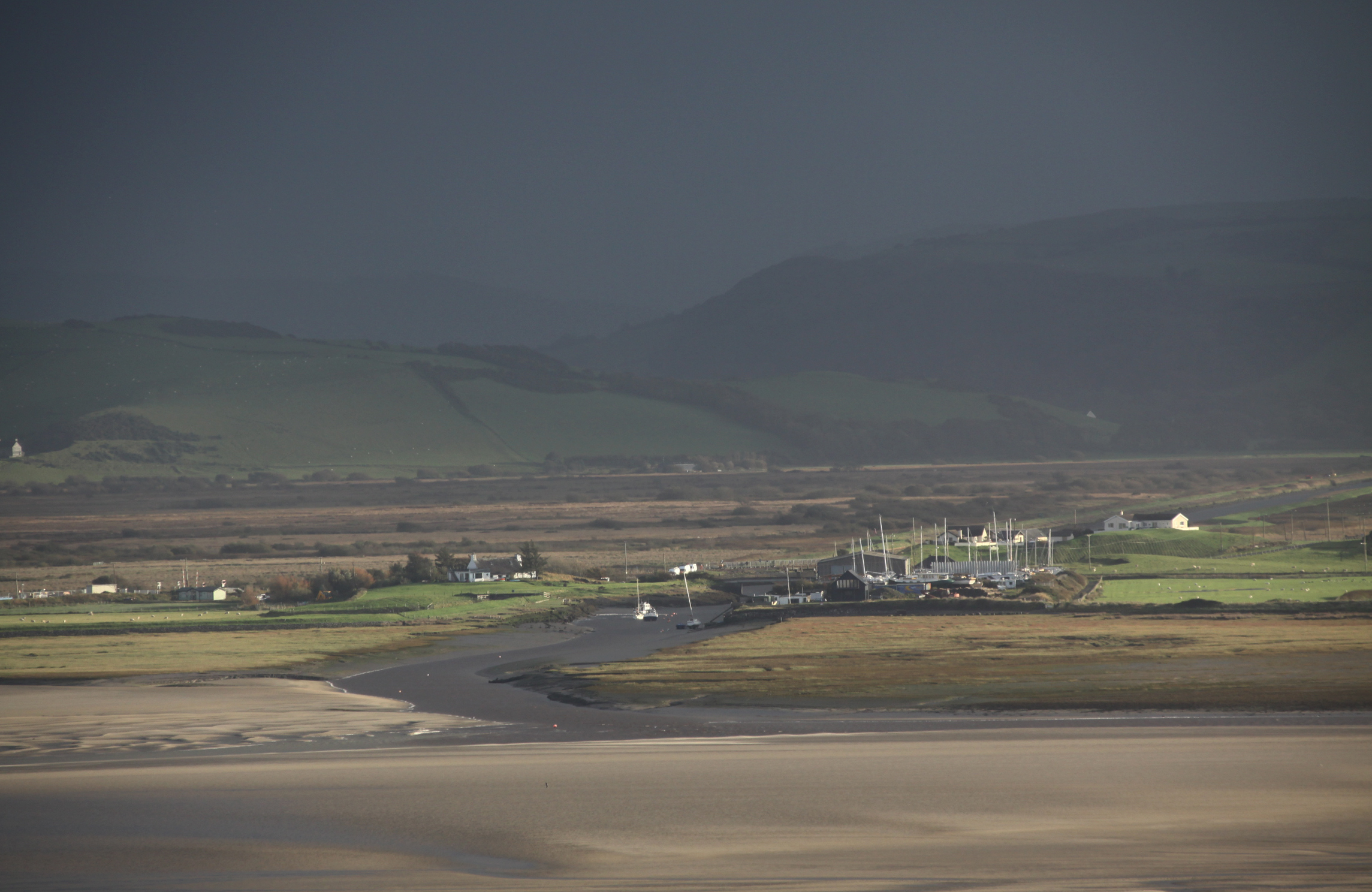
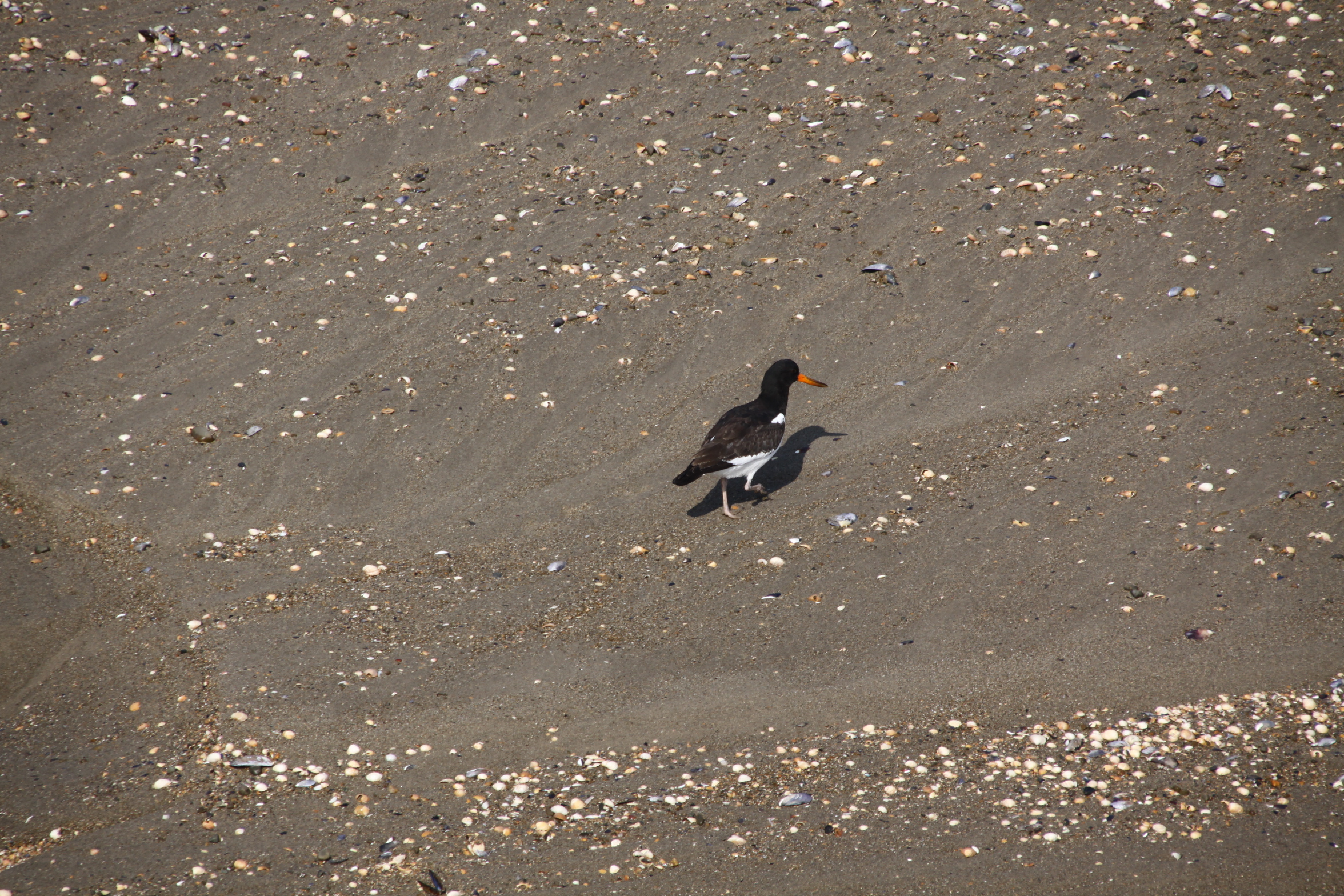
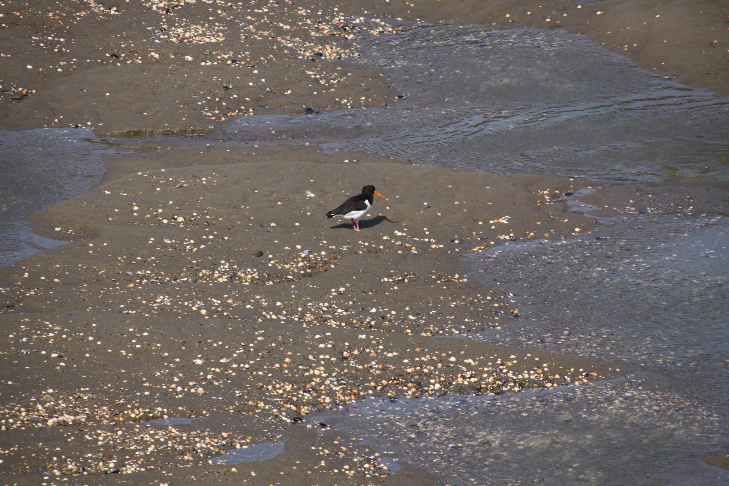
I enjoyed the beach so much during our short stay in Tywyn, that I took a serious number of photographs. Here are another bunch, slightly different from the previous one.
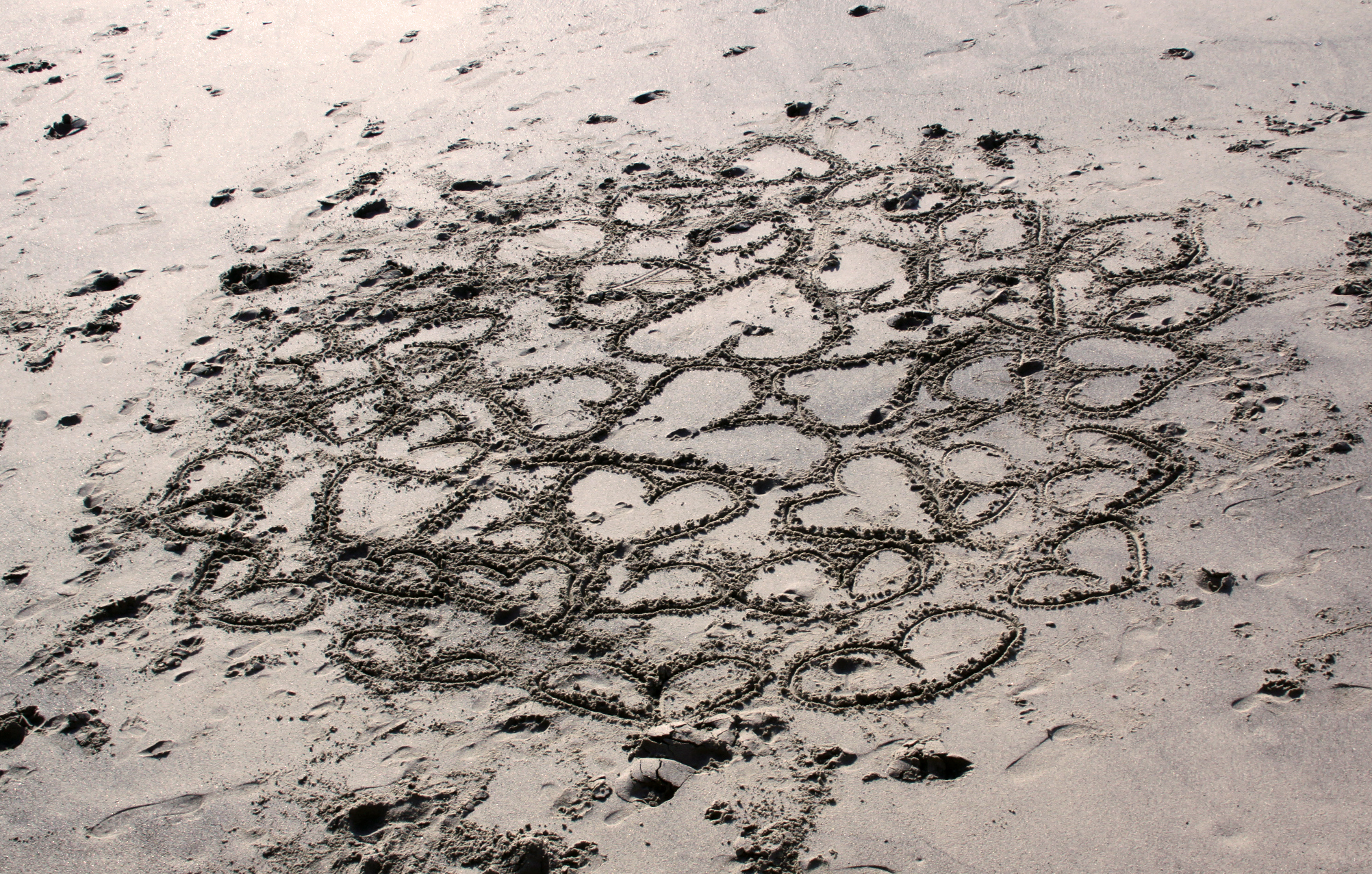
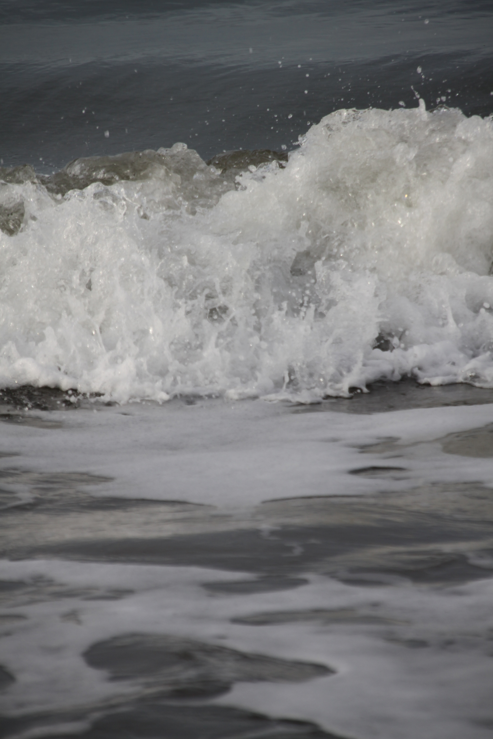
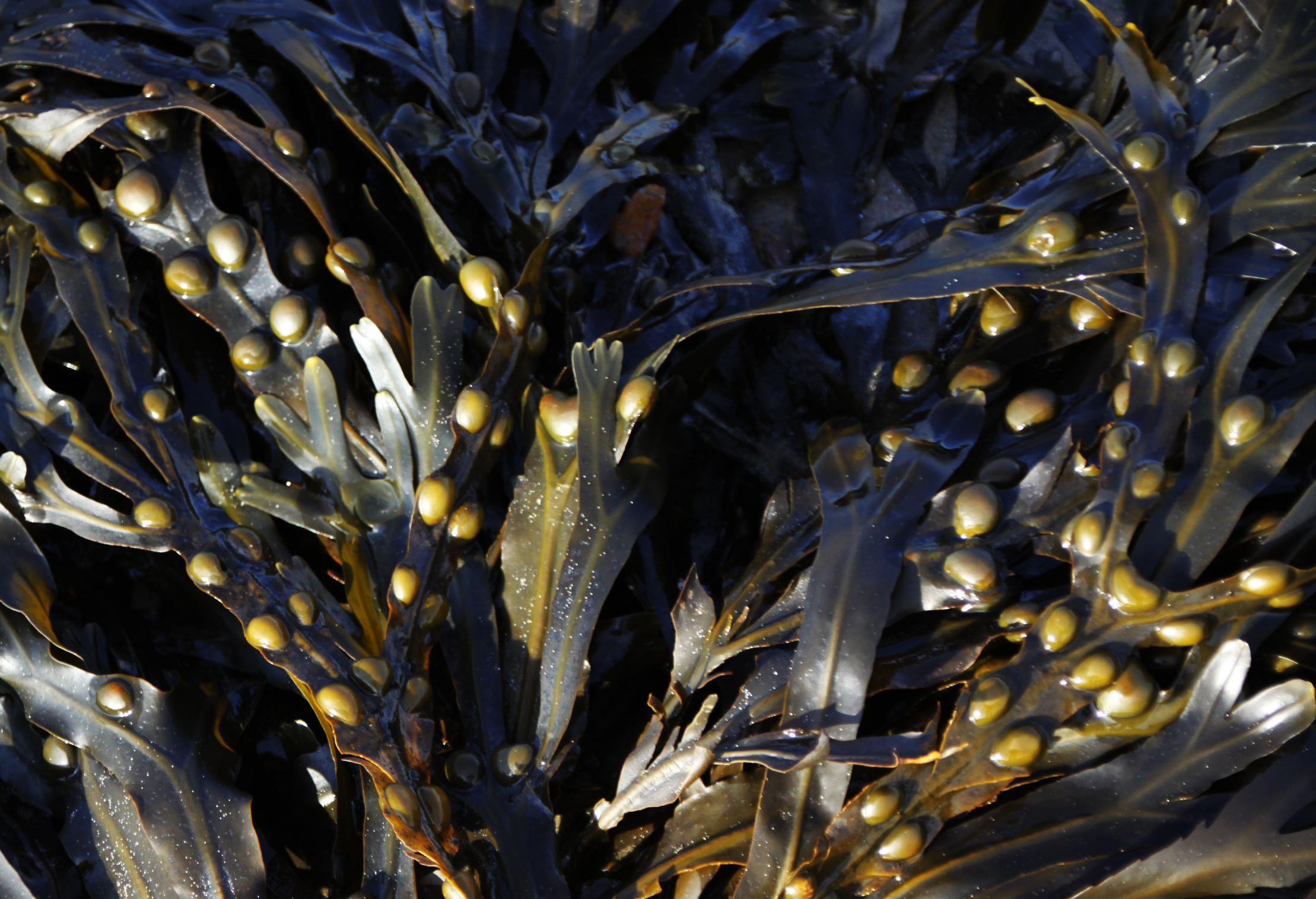
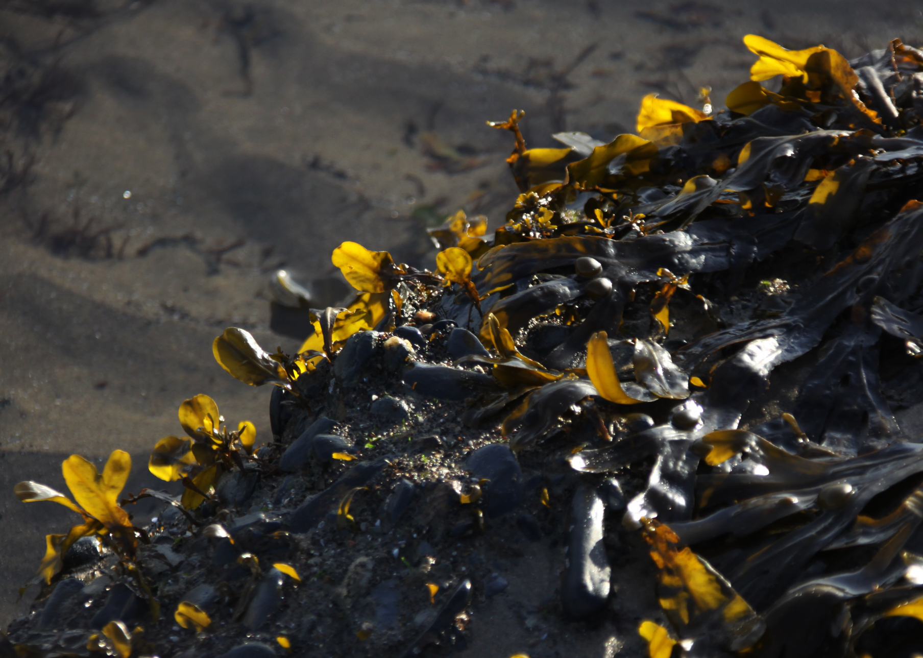
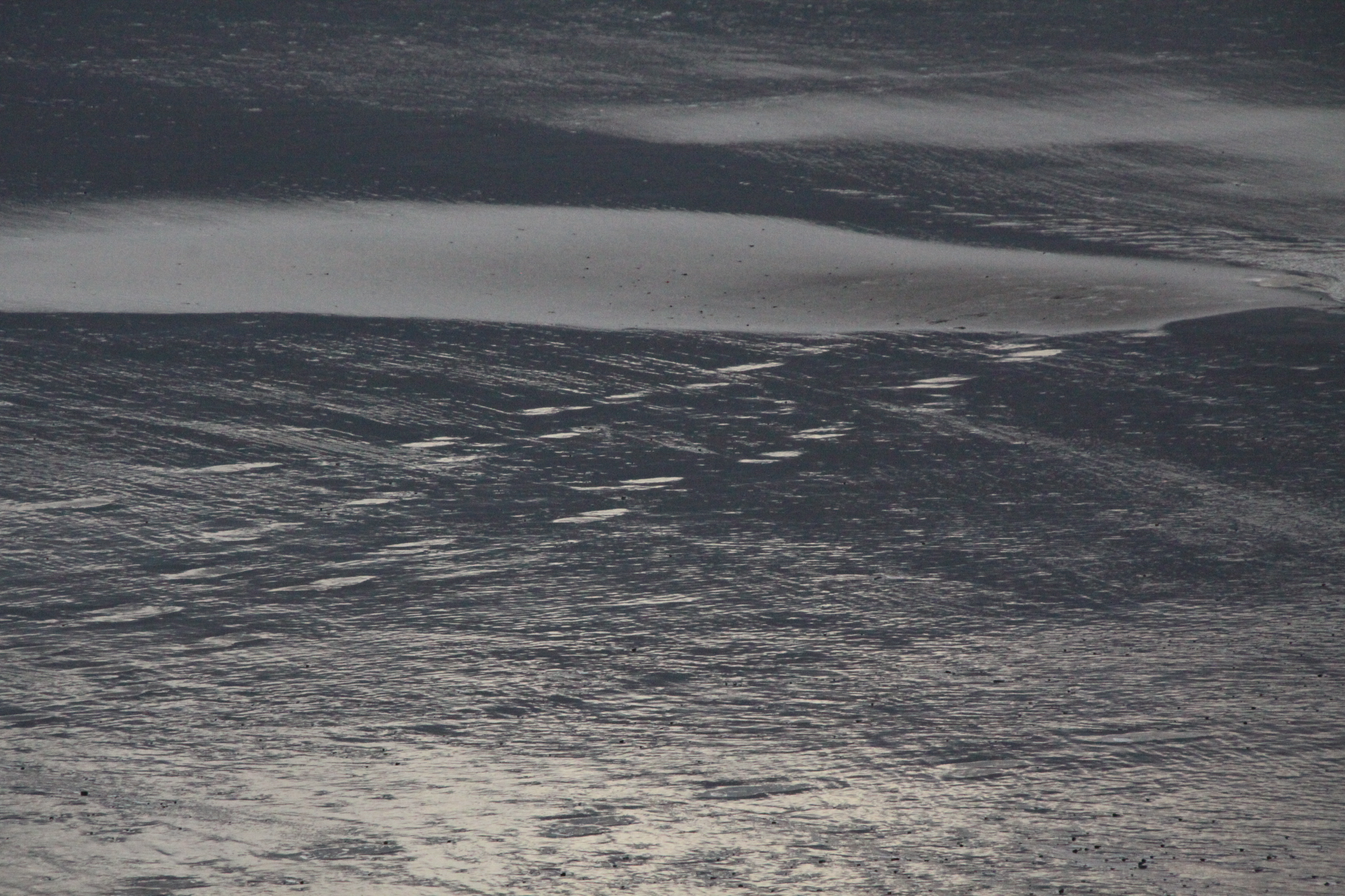
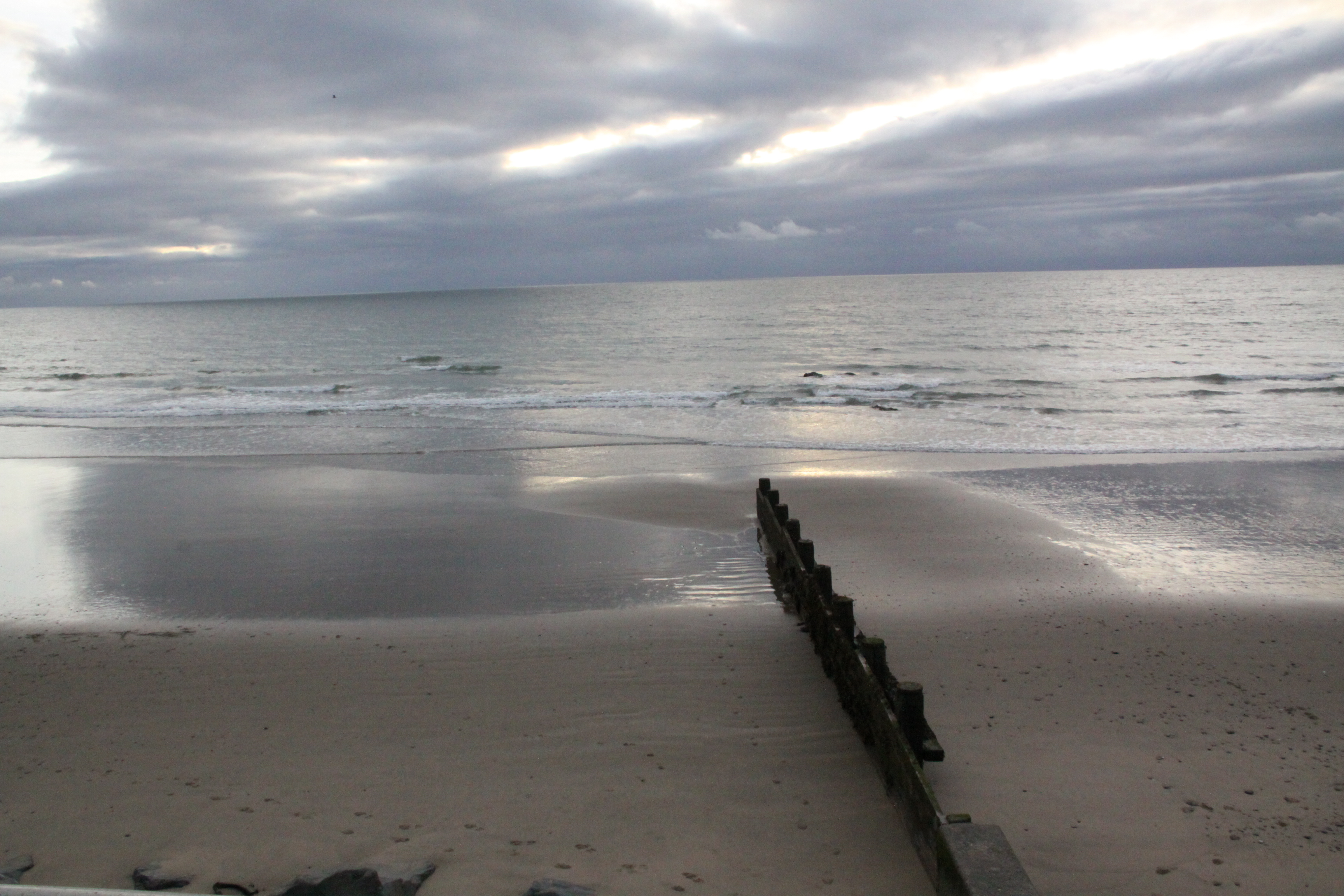

I enjoyed the beach so much during our short stay in Tywyn, that I took a serious number of photographs. Here are another bunch, slightly different from the previous one.
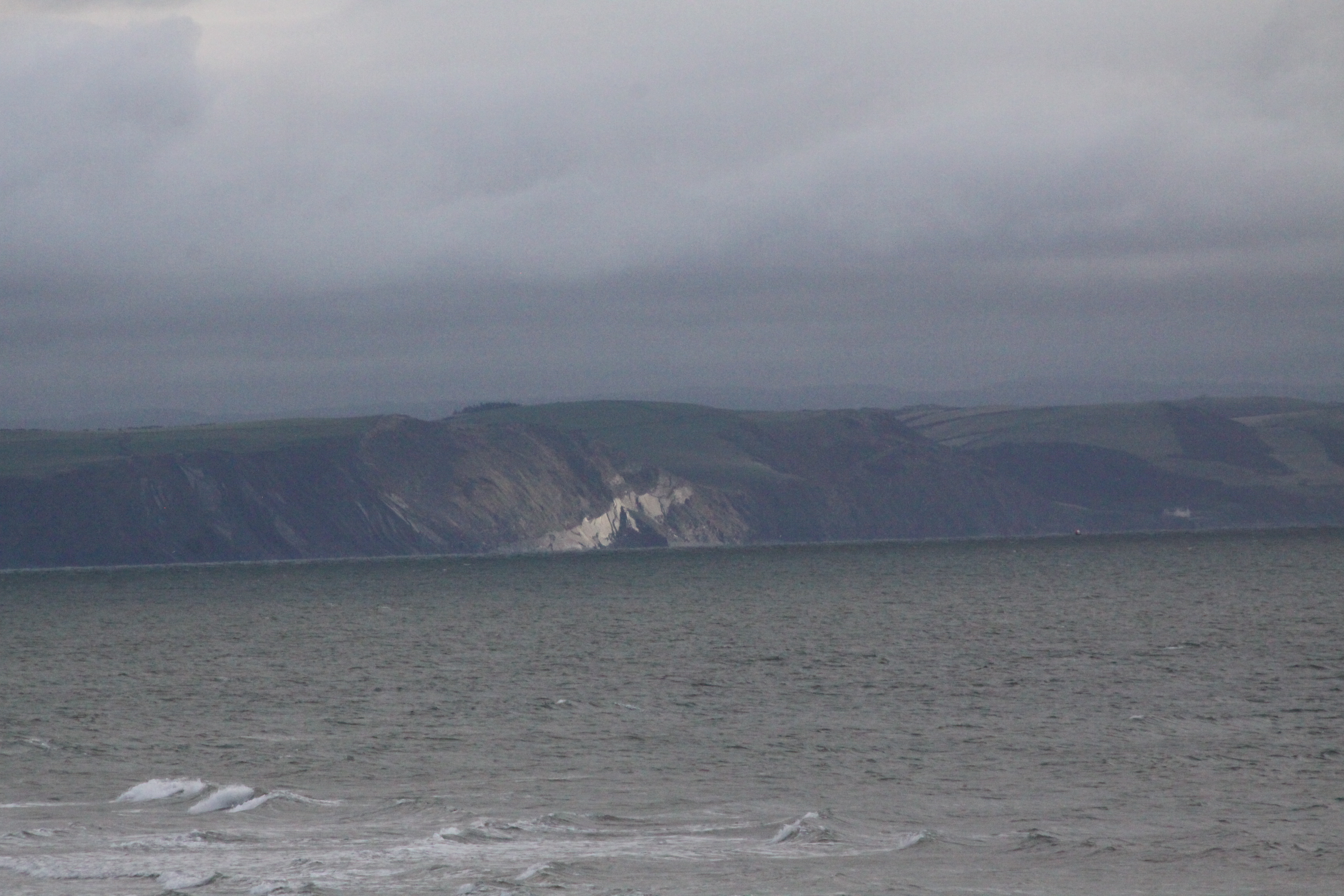
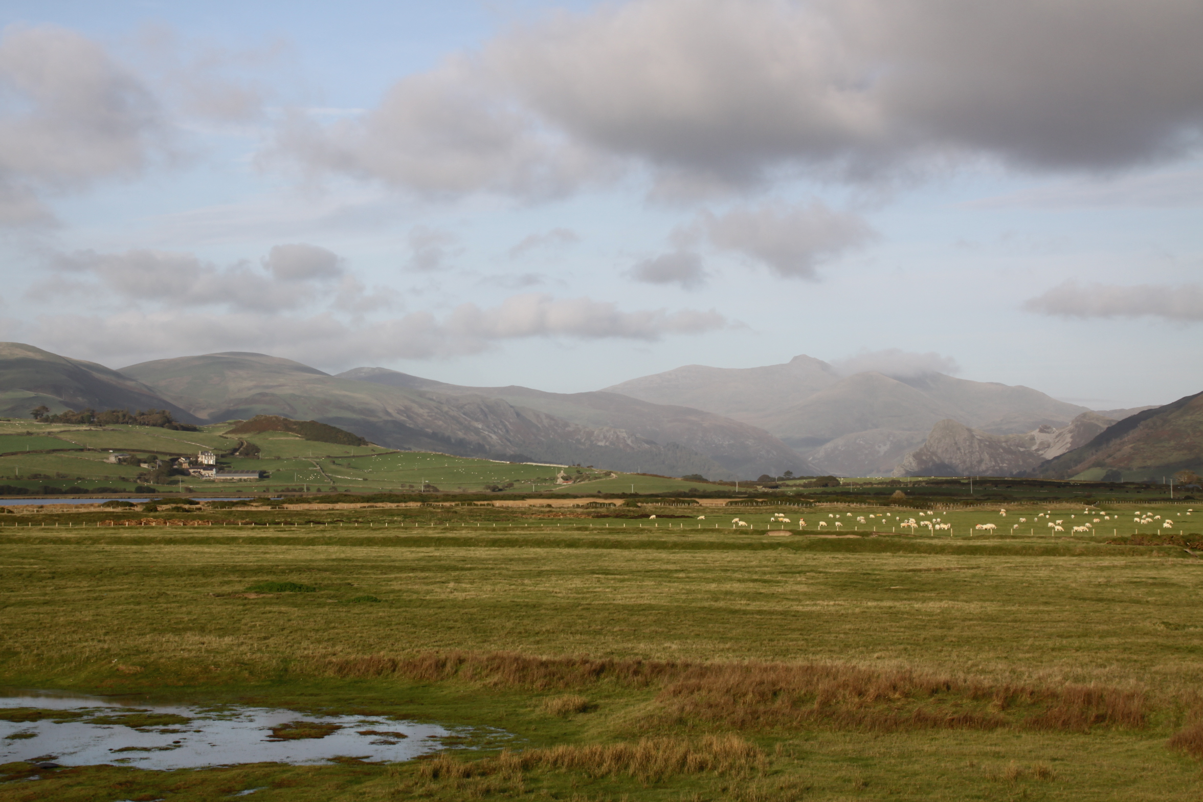
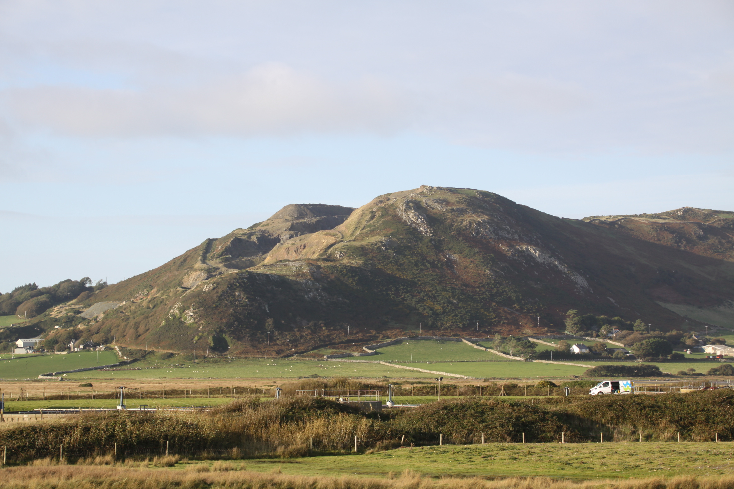
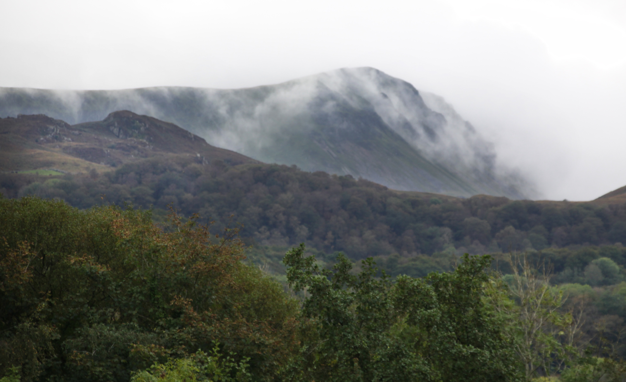
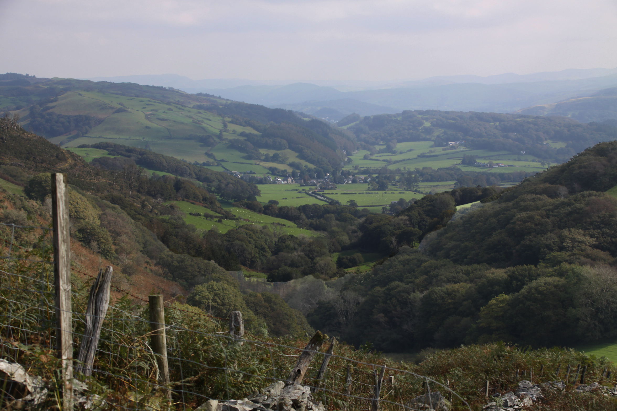
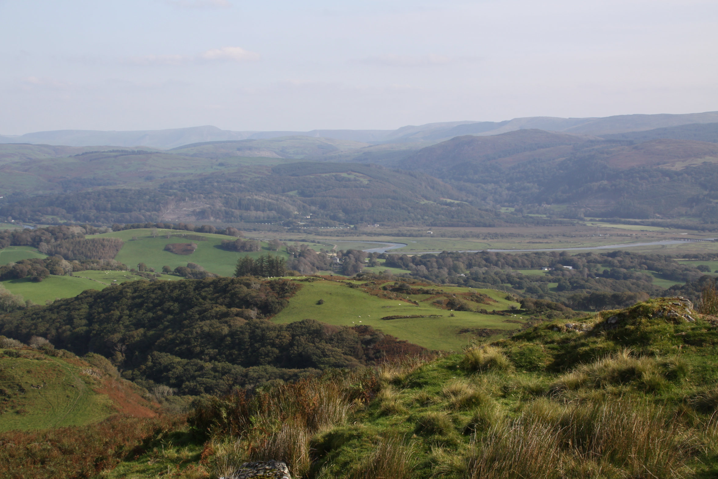
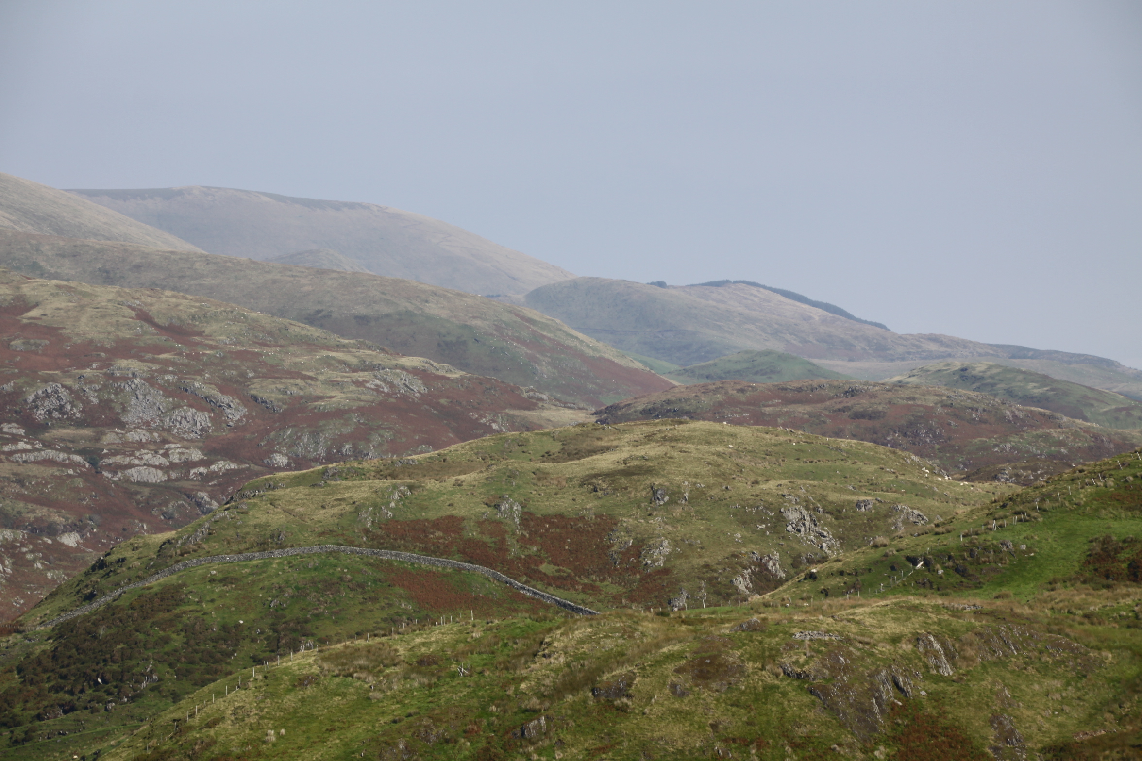
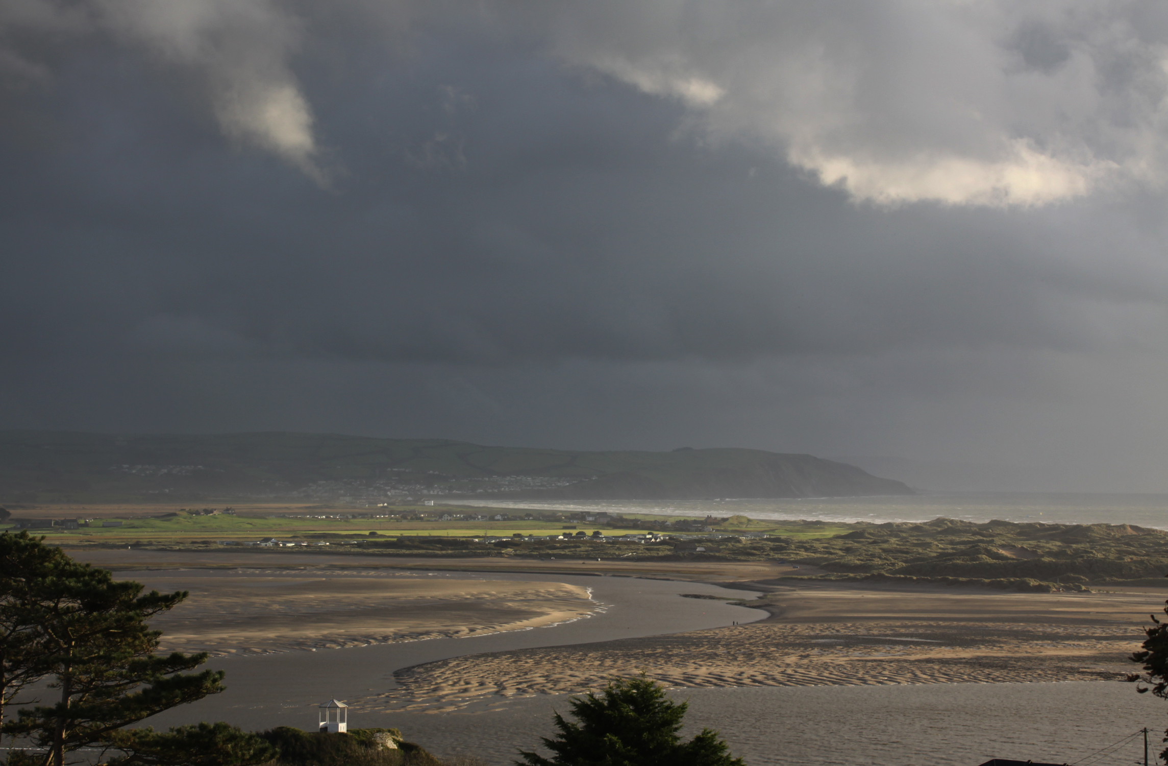
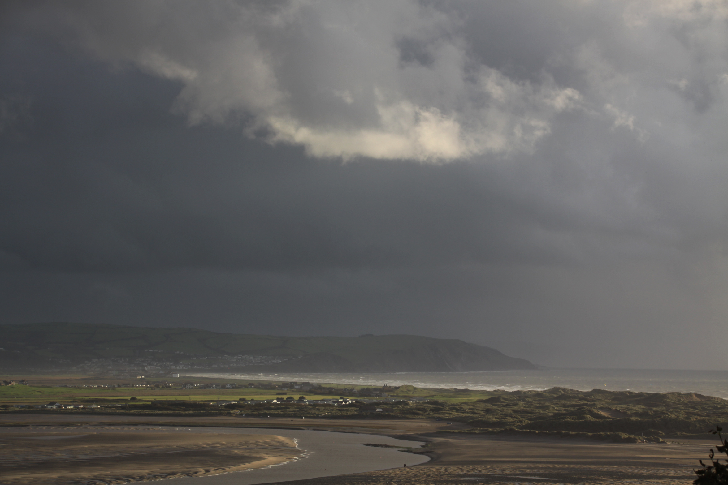
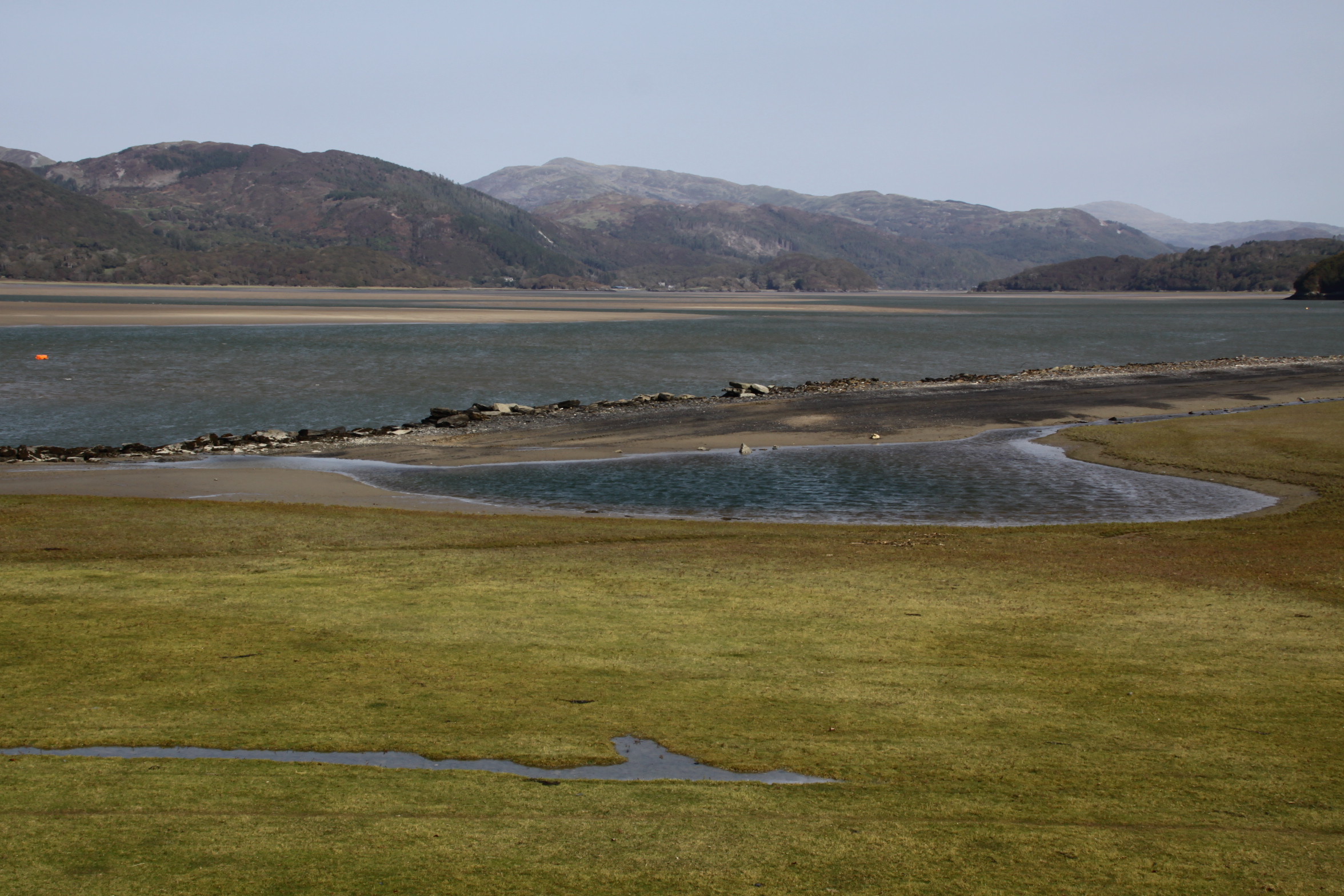
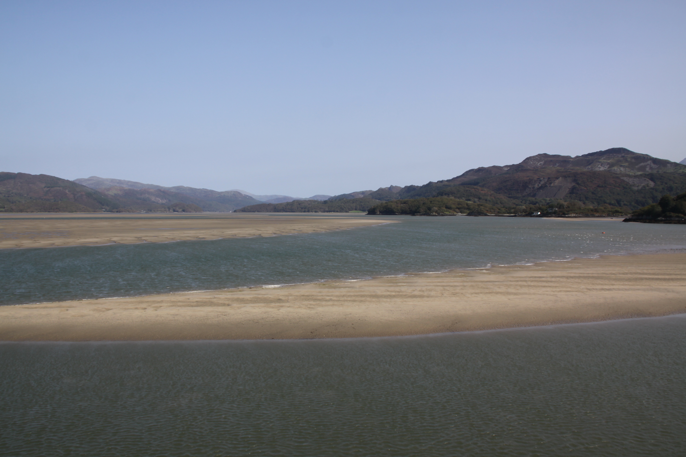
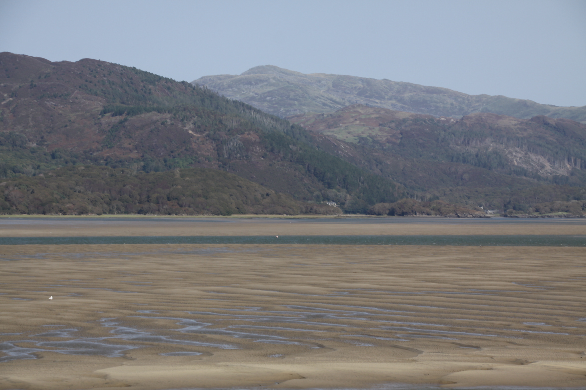
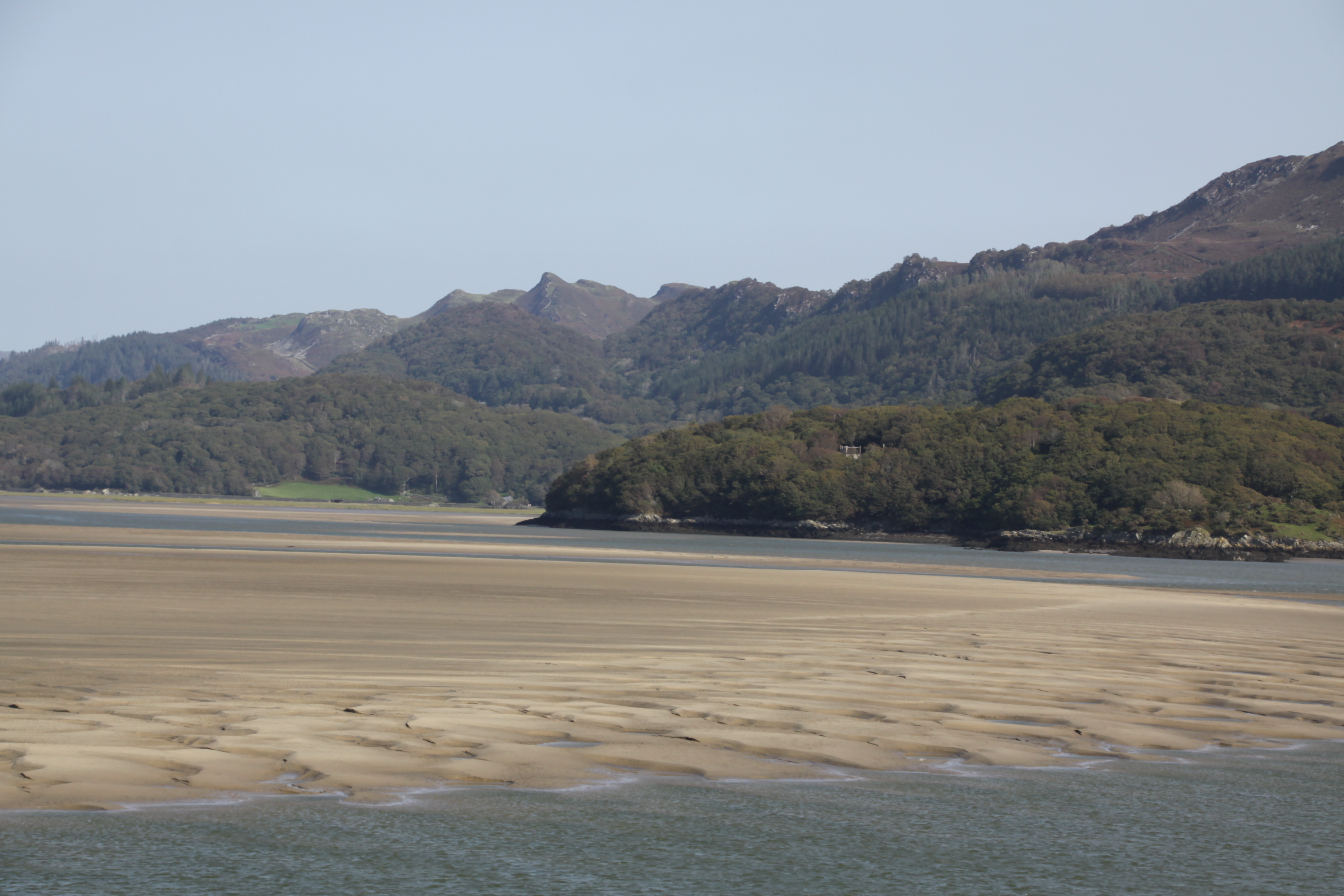
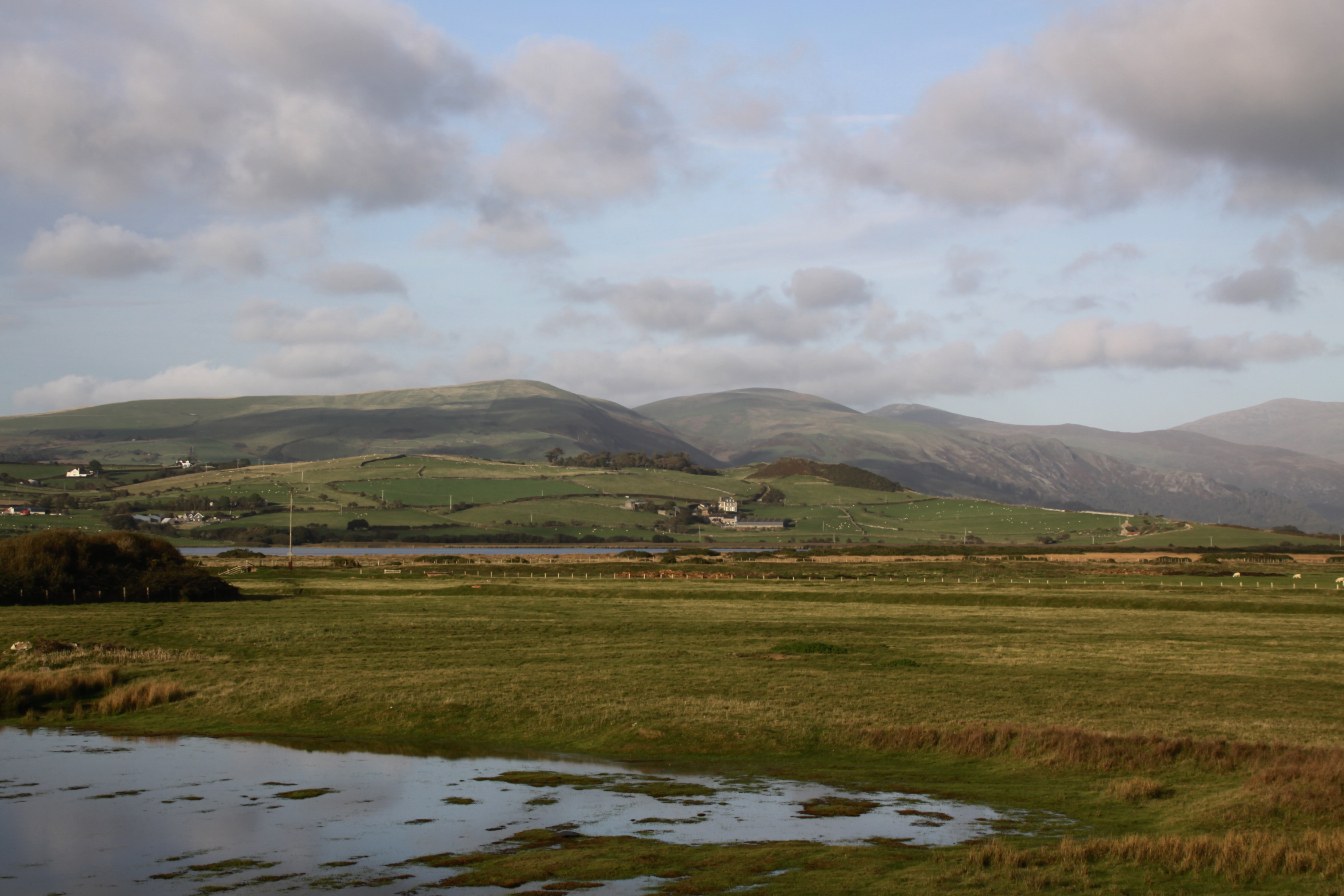 On a recent flying visit to Tywyn, walking along the beach towards the Dysynni, it was terrific to see the autumn light on the hills and water over the Dysynni valley, like Tal y Garreg, Llechlwyd and Craig yr Aderyn (Bird Rock). During the Iron Age some of these hills housed fortifications, implying that the landscape below was farmed at this time, just as it was further to the north. A beautiful place to live on a day like this, safe in the knowledge that the central heating waits back at the ranch, but it must have been a hard life during the Iron Age with the winter closing in.


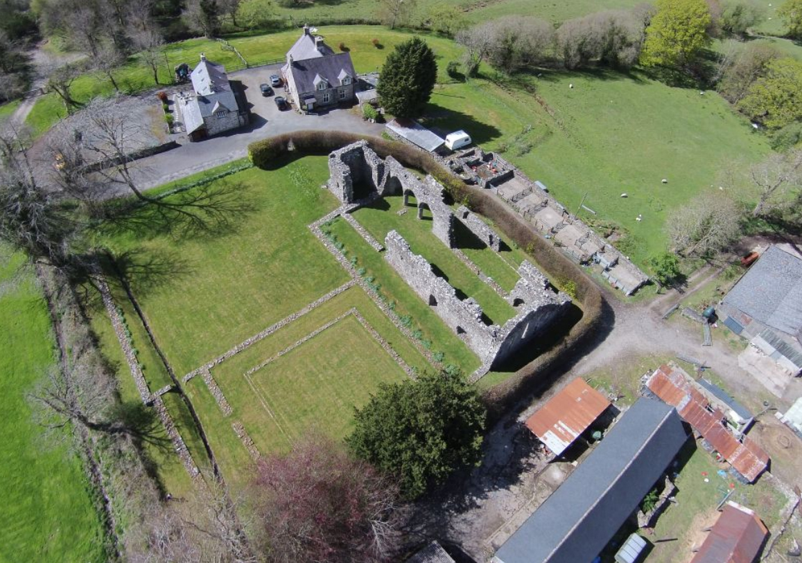
Cymer Abbey. Source: Coflein
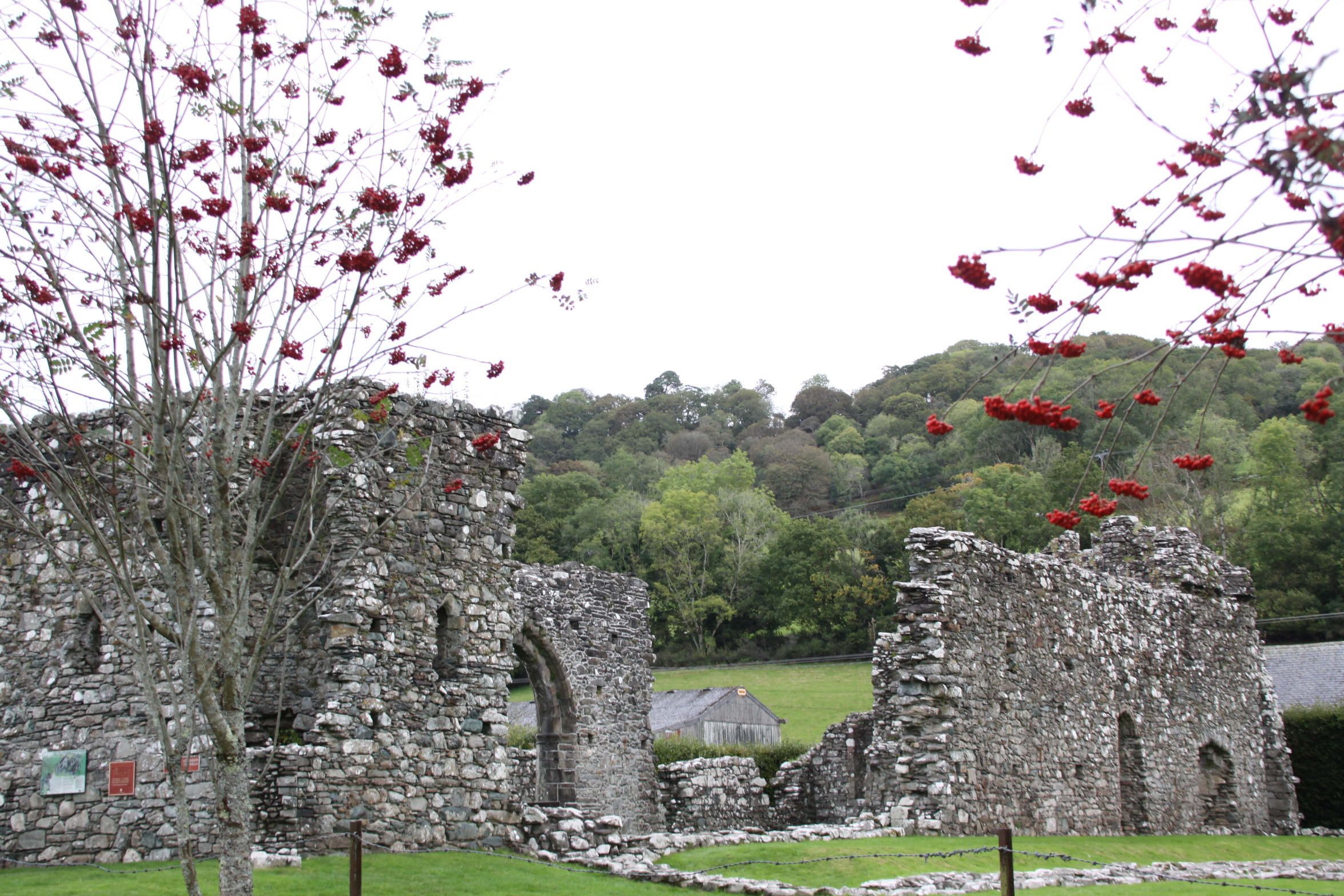
The quiet remains of Cymer Abbey lie in a scenic valley on the edge of a shallow, bubbling stretch of the river Mawddach, which itself evokes tranquillity and peace. In spite of being approached via a caravan park, it is a truly idyllic spot. Cymer Abbey, Kymer deu dyfyr, meaning “meeting of the waters” and dedicated to the Virgin Mary was founded in 1198 and was one of the northernmost Cistercian abbeys in Wales.
An abbey consists of a church and monastery headed by an abbot and populated by monks. Because the monks were resident, usually for life, an abbey contains not merely the architectural components required for worship and contemplation, but the structures required for everyday living and self-improvement, including premises for cooking, eating, sleeping, meeting, learning and punishing. An abbey was designed to be self-sufficient, and therefore had an important economic component to support its religious and cultural endeavours.
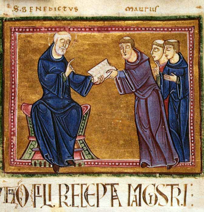
A 12th Century interpretation of St Benedict delivering his monastic rule in the 6th Century AD. Source: Wikipedia, via Monastery of St. Gilles, Nimes France (1129)
The Cistercian order of monks spread through Wales during the 12th Century AD. The European tradition of monastic living had a long heritage, based on the teachings of St Benedict of Monte Cassino in Italy in the 6th Century AD, who set down rules for monastic life, the standards to which subsequent Benedictine monastic orders adhered. As the monastic life spread through Europe, new orders were brought into being, most of them adaptations of the Benedictine rules, but modified to reflect their own ideologies and beliefs about how best to serve God. During the early Middle Ages, the Cistercians believed in devotion combined with hard work, an ethic at odds with the more opulent and self-indulgent Benedictine Cluniac order that was becoming dominant in France, and believed, unlike St Benedict himself, that hard work deterred from the celebration of God, and instead invested in ostentatious architecture decorated with stained glass windows, art works and precious metals, carrying out extensive and elaborate liturgical rituals, using music and song, as ways of glorifying god.
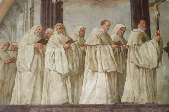
Johann Petr Molitor, Cistercian monks, murals in the Capitular Hall, Cistercian Abbey Osek, North Bohemia, before 1756. Source: Wikipedia, from the Cistercian Abbey of Osek, North Bohemia
The prosperous and comfortable Cluniac repelled many for whom the initial Benedictine vision was nearer to Christ. The Carthusians and Cistercians were both breakaway orders that sought to return to a more honest monastic life in which humility, obedience and hard work were combined with prayer and learning. Initially, the Cistercians embraced a much simpler way of life than contemporary orders, inspired directly by St Benedict and by the simple and sacrificial life described by Christ himself. They established their abbeys in very remote areas, isolated themselves from urban life, and from the associated temptations. Their undyed white tunics and cowls were an instant visual differentiator from the black tunics of other Benedictine orders, and lead to them being referred to as the White Monks. Different roles were assigned to different monks, such as the cellarer who controlled all food and drink for the entire abbey, the novice master, and the sacrist who was responsible for the upkeep of the church. All were were considered to be equal in status. The abbot was in overall charge of the monastery, and his orders were law, but he slept in the same dormitory as the other monks.

The river Mawddach at Cymer Abbey
The monks worked the fields, engaged in building projects, and processed the harvest. They were assisted by lay brothers, uneducated and lower order members of the monastic community who ate, slept and worshipped in different places from the monks, and were not given access to certain parts of the abbey. Food was simple and plain. Meat was not consumed, and most of the protein consumed by monks came from beans, fish, eggs and cheese. Meat was banned by the Benedictines due to the dangers of its encouraging carnal passions, because monks were required to be celibate. The importance of fish in the diet, as well as the requirement for fresh drinking water, meant that many abbeys, like Cymer, were built near to rivers.
By the later Middle Ages, most of the stricter Cistercian rules were relaxed, and the abbot slept in his own quarters, sometimes a separate building altogether, the monks rarely worked the land themselves, and meat was consumed along with a much more elaborate selection of foodstuffs. The plagues of the 14th Century wiped out what remained of the lay brotherhood, and their work was carried out by servants.
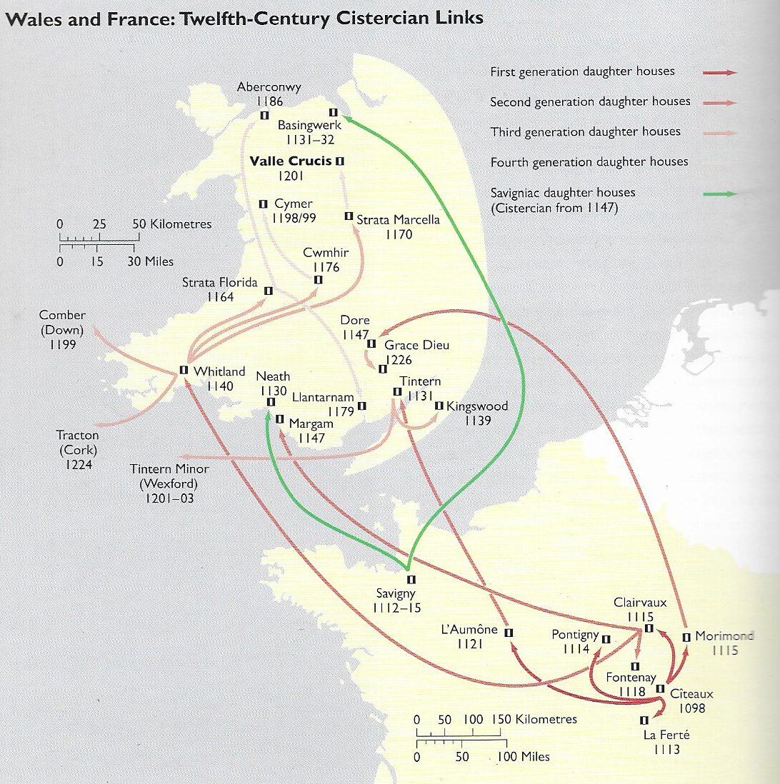
12th Century links between Cistercian monasteries. Source: Evans, D.H. Valle Crucis Abbey (Cadw). Although Citeaux, the node for all Cistercian abbeys, established early new bases in France, it was Clairvaux under the lead of St Bernard that was responsible for the earliest new abbeys in Wales. Of these Whitland was the most important for the northward spread of monasticism. The green lines emanating from Savigny reflect the Savignac order, which merged with the Cistercians after only 20 years, in 1147. So although Basingwerk in the north and Neath in the south were founded as Savignac orders, after 1147 they were brought under the rule of the Cistercians at Citeaux.
In southwest Wales, Whitland Abbey, which had been established from France in 1140, provided monks for new abbeys for the southwest of Wales, mid Wales, north Wales and southwest Ireland. A new abbey required an endowment by a donor, someone with enough land and wealth to give some of it away in return for the prayers offered by the monks for the souls of the donor and his family. Monks were considered to have a hotline to God. Having dedicated their lives to Him, and living sin-free lives, they built up a surplus of virtue and influence that could be employed on behalf of the living in order to provide for them in the afterlife, an intercession to minimize the impact of sins committed in life. Many early abbeys in England were sponsored by English royalty, but two distinct strands of monastic tradition were established in Wales after the Norman conquest.
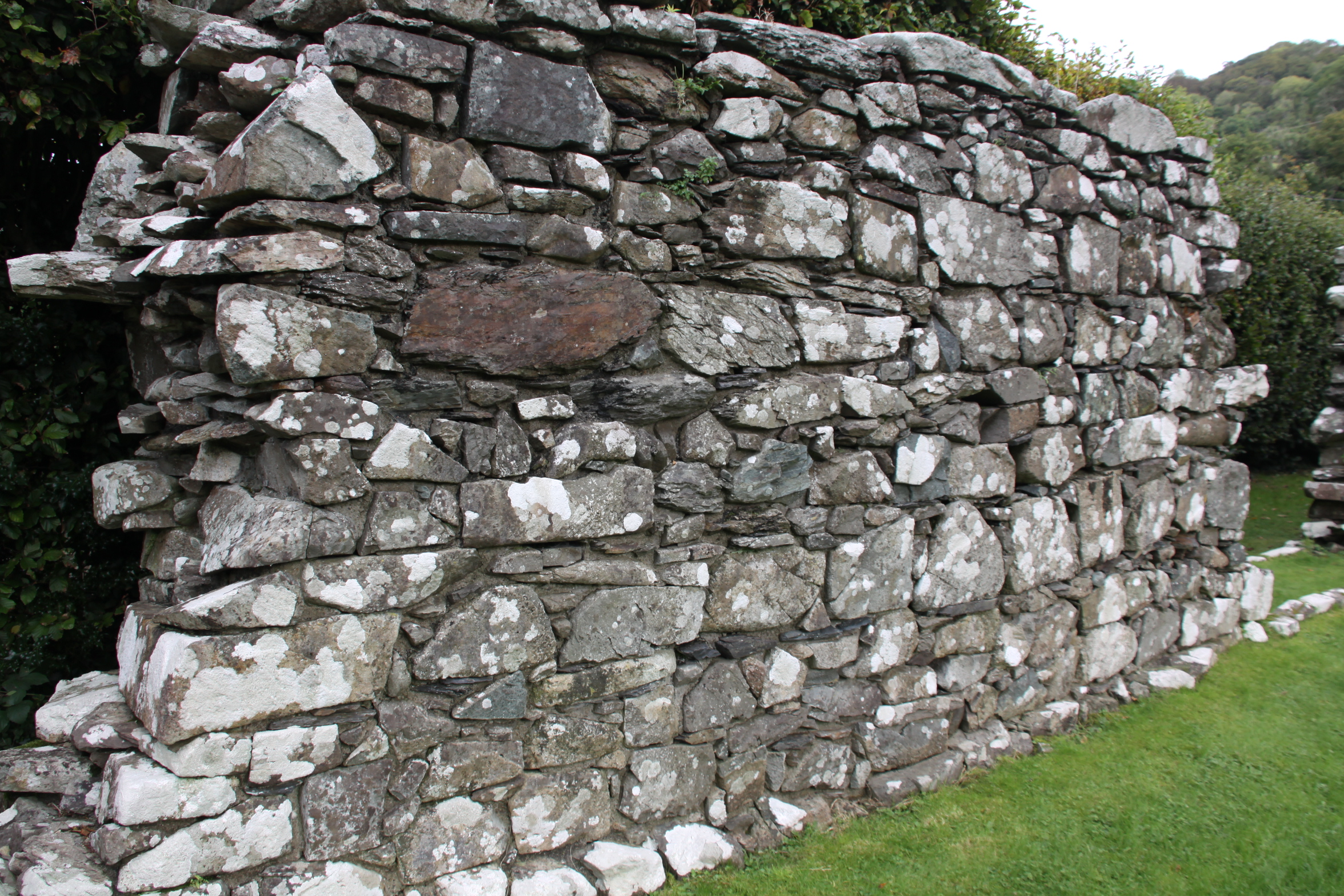
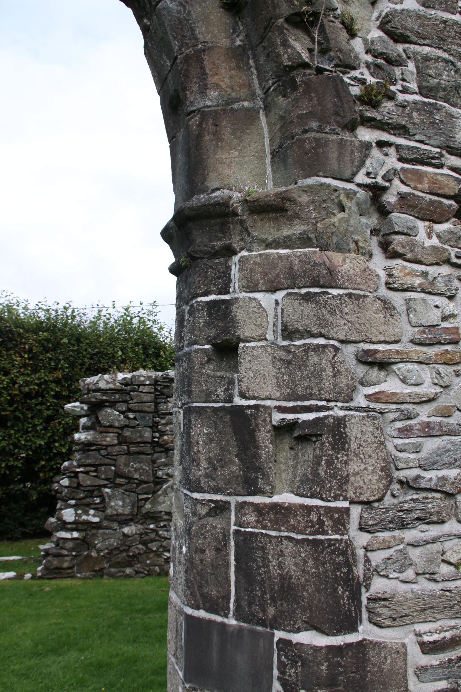
Alternating courses of thin and big stone in the north wall
In Wales, earlier versions of monasticism predated the Benedictines, but were much more modest in scope. The Benedictine version of monastic life, based on the model of the abbey, came to Wales in two movements. In southeast Wales, new abbeys were established in the wake of the Norman conquest and had a distinctly Anglo-Norman flavour. A second strand of monastic spread in Wales began at the Cistercian Whitland (Abaty Hendy-gwyn ar Daf) founded in 1140 by monks from St Bernard’s abbey at Clairvaux, second only to the Cistercians’ founding abbey at Citeaux. Whitland spawned a series of abbeys that were funded by the native Welsh princes and were populated almost exclusively by Welsh monks, a pura Wallia (Welsh Wales) version of Cistercian monasticism. By establishing new daughter abbeys under its authority, Whitland spread the Cistercian order into the poorer and more remote areas of Wales, where monks could practise their devotions in isolation but were still near enough to manors and villages to enable them to trade their produce, mainly agricultural, in exchange for the basics required for sustaining the abbey. Cymer, for example, traded its wool and horses to the court of Llewyllyn ap Gruffud.
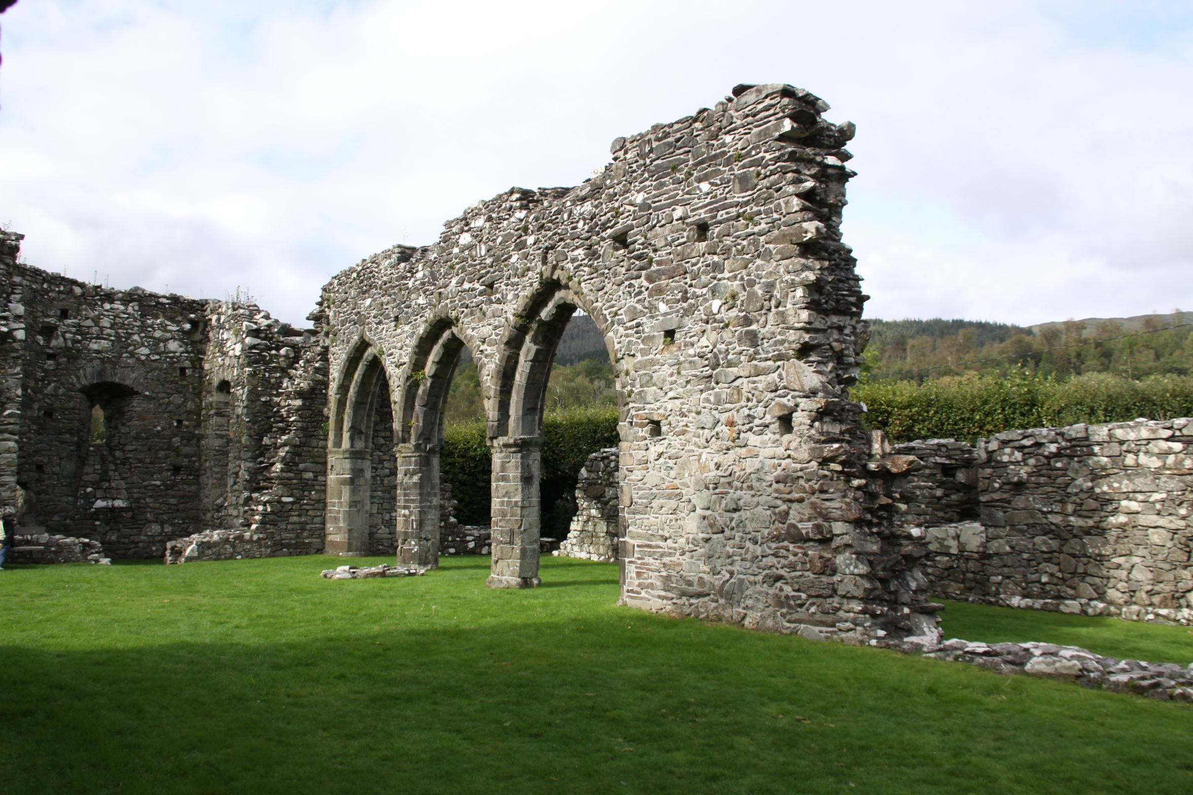
Arches defining the north aisle of the church
Although the foundation charter has been lost, it is known that Cymer was founded with an endowment by Maredudd ap Cynan, Lord of Merioneth, and possibly his brother Gruffudd ap Cynan. A charter of 1209, issued by Llewellyn ap Iorwerth, confirmed the grants and privileges of the abbey and validating its claims of ownership.
In the usual pattern, the first monks for the new abbey came from an existing abbey, in this case Cwmhir Abbey in mid Wales, itself founded from the mother house at Whitland in 1176. Other monks could then join from the local area, paying a single fee for their clothing, food and to begin their training as novices. The fee was not insubstantial, and although the monks took a vow of poverty, they were not themselves poor people before joining the abbey. As it happens, Cymer was one of the less economically viable of the Welsh abbeys and was therefore unable to support a large number of monks, and these monks would have lead a relatively impoverished lifestyle compared with those in wealthier Welsh abbeys like Strata Florida or Abbey Crucis.
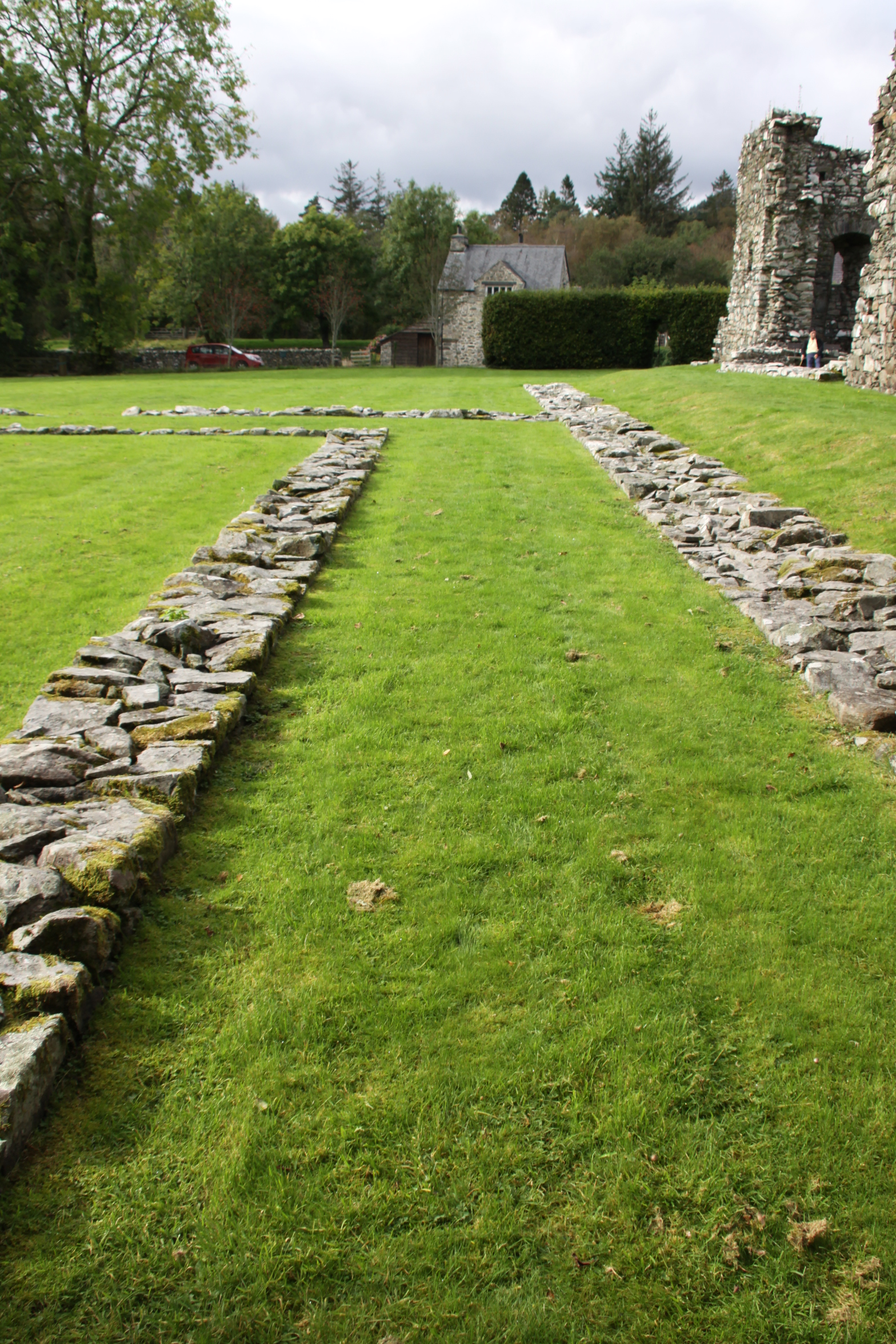
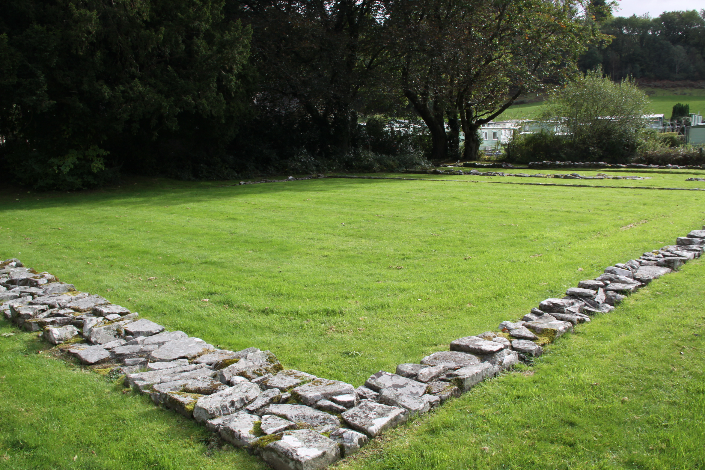
Abbeys followed a standardized plan, with a cruciform church making up one side of a four-sided complex that surrounded a square section of grass or garden (the garth). Around the garth was a walkway, usually covered, called the cloister. This connected all the buildings, and also served as a processional way. Cymer differs from the standard layout in a number of ways.
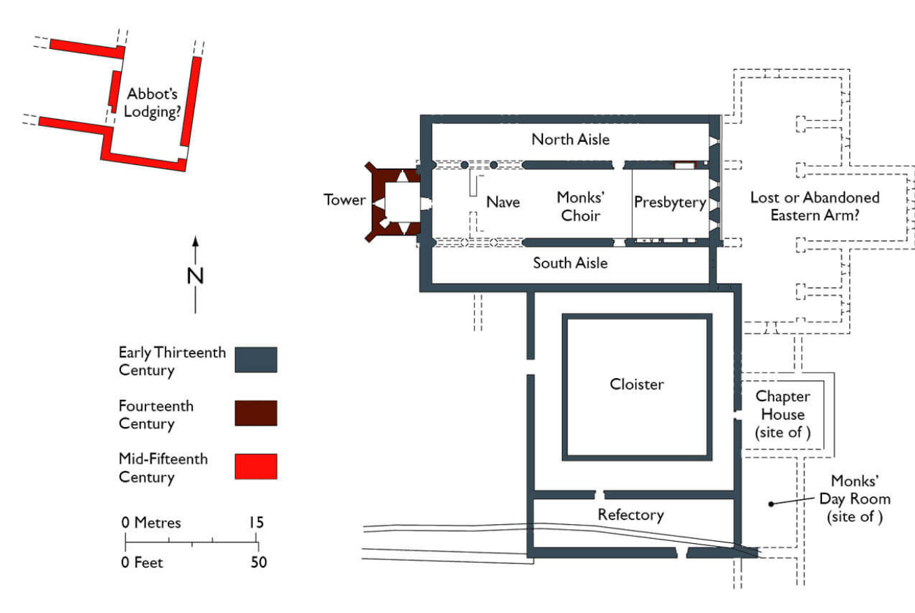
Cadw site plan showing the surviving stonework in grey and brown, and the possible abbots lodging, as well as the missing section of the abbey
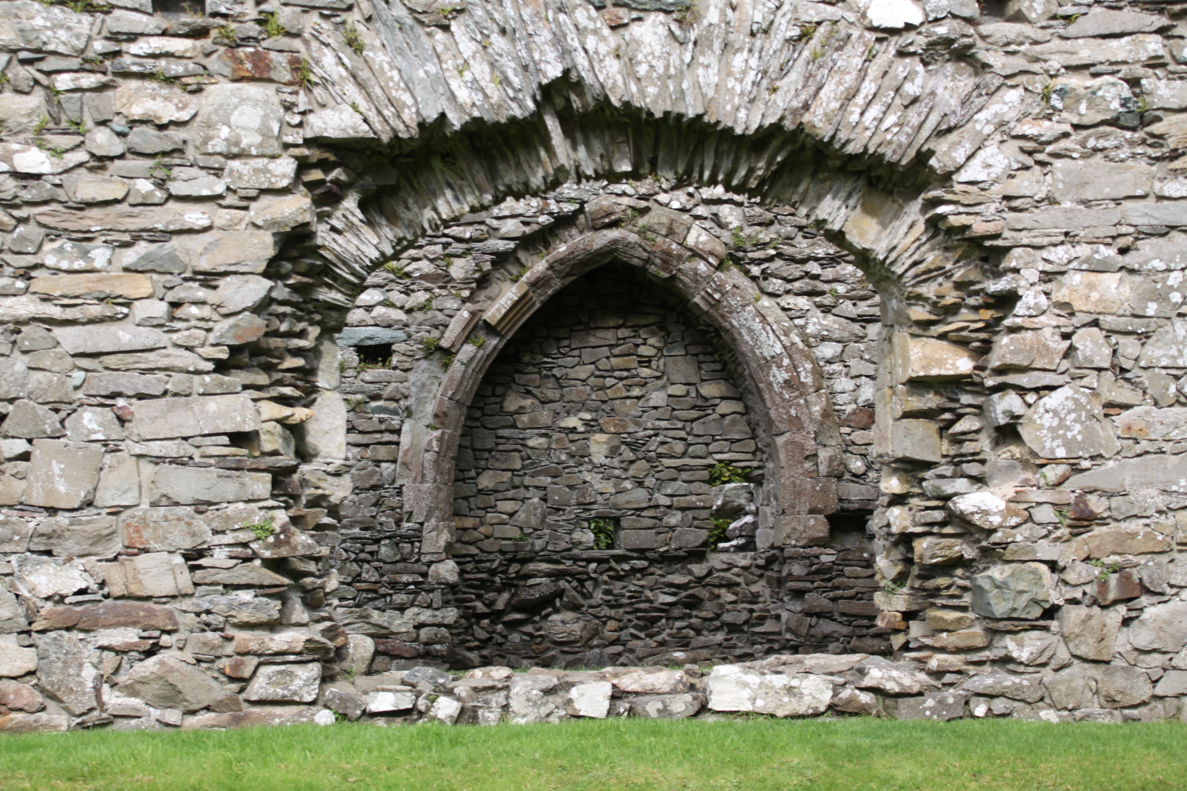
First, the abbey had both church and cloister, as well as the required buildings around the cloister, but the church as it survives today was not the standard cross-shaped arrangement. This is significant. Only the nave and the choir section, the piece that made up the long part of the cross has been found, even after 19th Century and more recent excavations. The nave was where the lay brethren prayed. Beyond a division across the nave to separate the public area from the private (the pulpitum), were usually the opposing transepts, two wings that made up the arms of the cross, with a tower built over the central section. Then, beyond this section, were the all-important choir and high altar where the most important rituals were enacted. These parts were exclusive to the monks, and provided access to the cloister and the upstairs dormitory. At Cymer the nave served the multiple role of nave, choir and chancel/sanctuary. The missing, exclusive section of the church (transepts, tower, choir and high altar) means either that this was destroyed in the past, or that it was never built. Most analysts favour the latter explanation, which suggests that the abbey was not endowed with a sufficient initial investment, and that its estates were not sufficiently profitable to enable the abbey to be built.

Truncated abbey church, seen from the refectory.
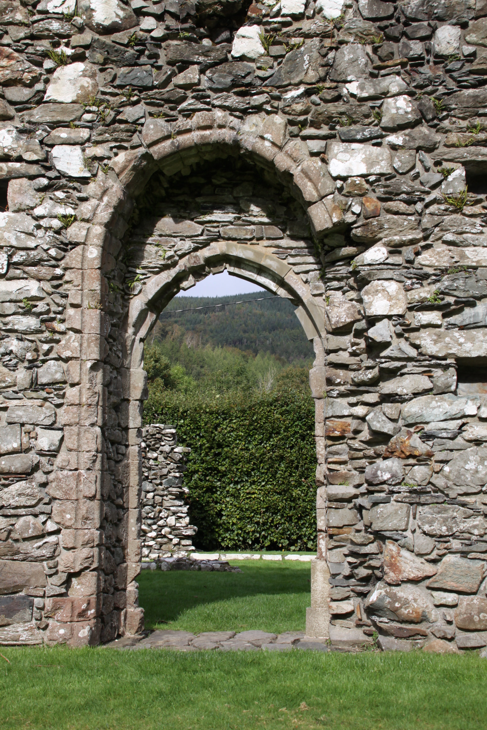
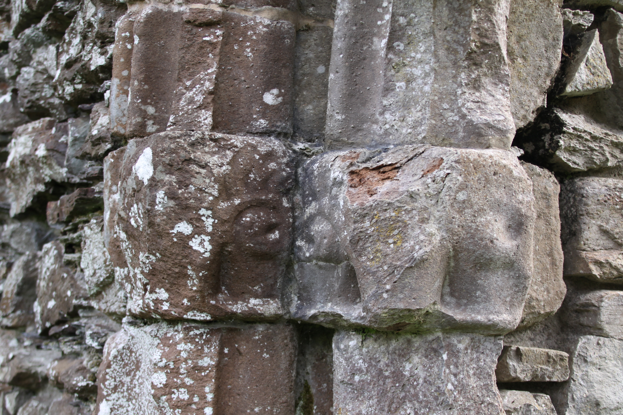
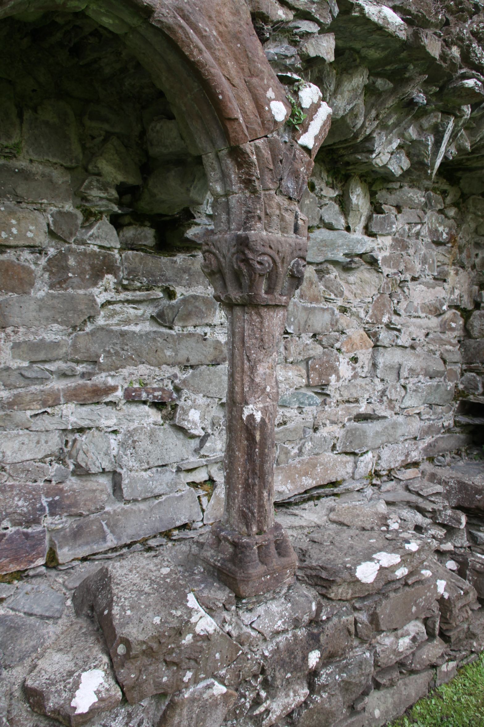
Normally, the church was the first building to be constructed in stone, with other accommodation built of wood until the church was complete, but at Cymer the ancillary buildings were built in stone even though the church was apparently incomplete, so it is all something of a puzzle. However, the small rectangle that made up the 13th Century church seems to have done the job of a larger entity, with the nave (reserved for the laity and visitors) at the west end, the monk’s choir in the middle, and the presbytery / chancel / sanctuary (the area around the high altar) at the end. The church was also divided into three sections length-ways by two aisles flanking the main central portion of the church (known as a basilica layout), achieved by adding columns and arches. At the business end of the church, where the monks worshipped eight times during the day and night, were some small decorative features, such as ornamental capitals at the top of columns. The main arch into the cloister was also slightly ornamental, and a tiny rose window topped the east end, but in keeping with Cistercian principles, there were few other ornamental flourishes, and although the abbey had a few pieces of fine silver ware, there would have been no stained glass, art works or tapestries.
The 14th Century tower
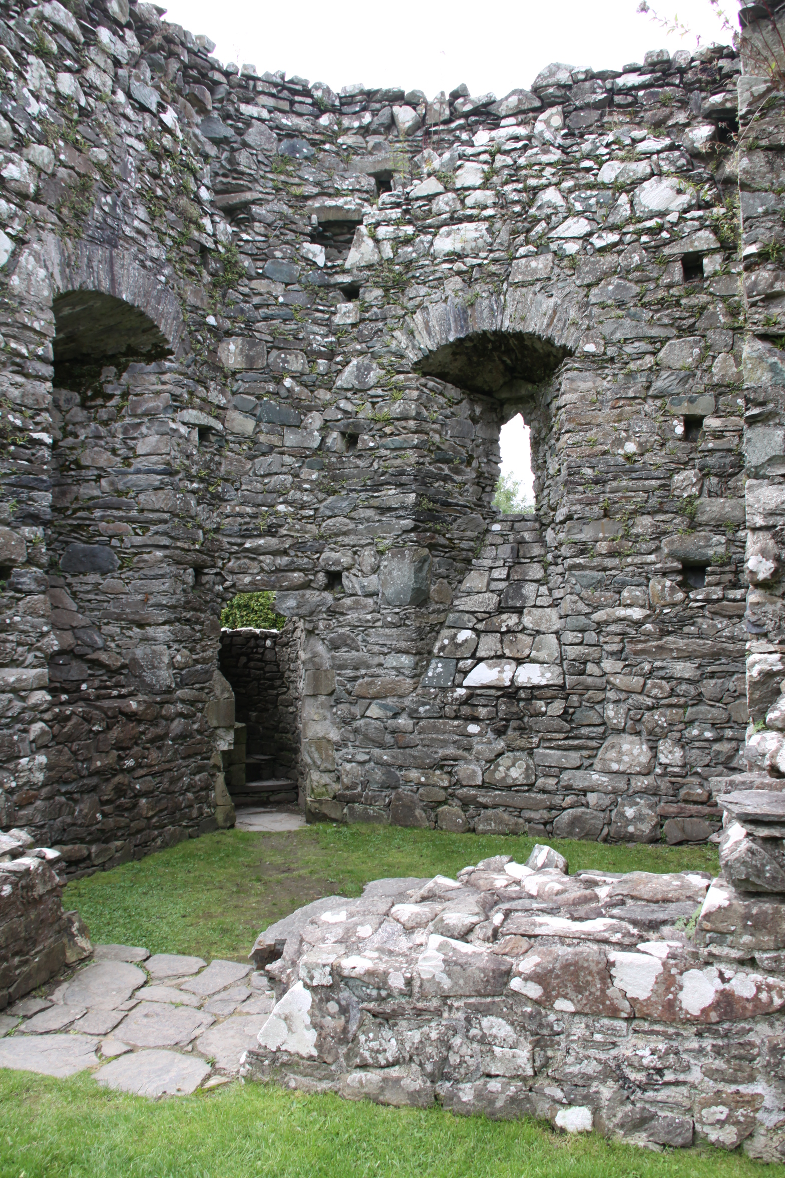
At a later date, in the fourteenth century, it was quite clearly thought that a tower was a basic requirement and that its absence was a detriment, so a small tower was added (shown on the above plan in brown). Bizarrely, however, it was added at the wrong end. The church was usually orientated west to east, the entrance at the west and the choir and high altar at the east. The tower sat between east and west ends, at the point where the arms of the cross intersected with the main run of the church. The new tower, however, was put at the west end where the main entrance from the outside world would have been positioned. It was small and understated in terms of its overall dimensions, but its walls were immensely thick. It was provided with corner buttresses and was clearly built to last.
The cloister appears to have followed the standard Cistercian format. The most important room was the Chapter House, which was on the east side of the cloister. Here, every day for around 15-30 minutes, the monks sat on benches along the walls to hear the abbot, who sat on a raised platform, read a chapter from the rules of the order, and to discuss the upcoming business of the day. Confessions were made and punishments decided upon. Next to the Chapter House was often a book cupboard, where important religious texts and treatises were kept, and in some abbeys copied for wider distribution. Between the Chapter House and the church was usually a sacristy, which held the vestments and other essentials for the daily liturgies that took place in the church. At the other end of the Chapter House was the day room, a heated room where monks could seek respite in the cold winter months.
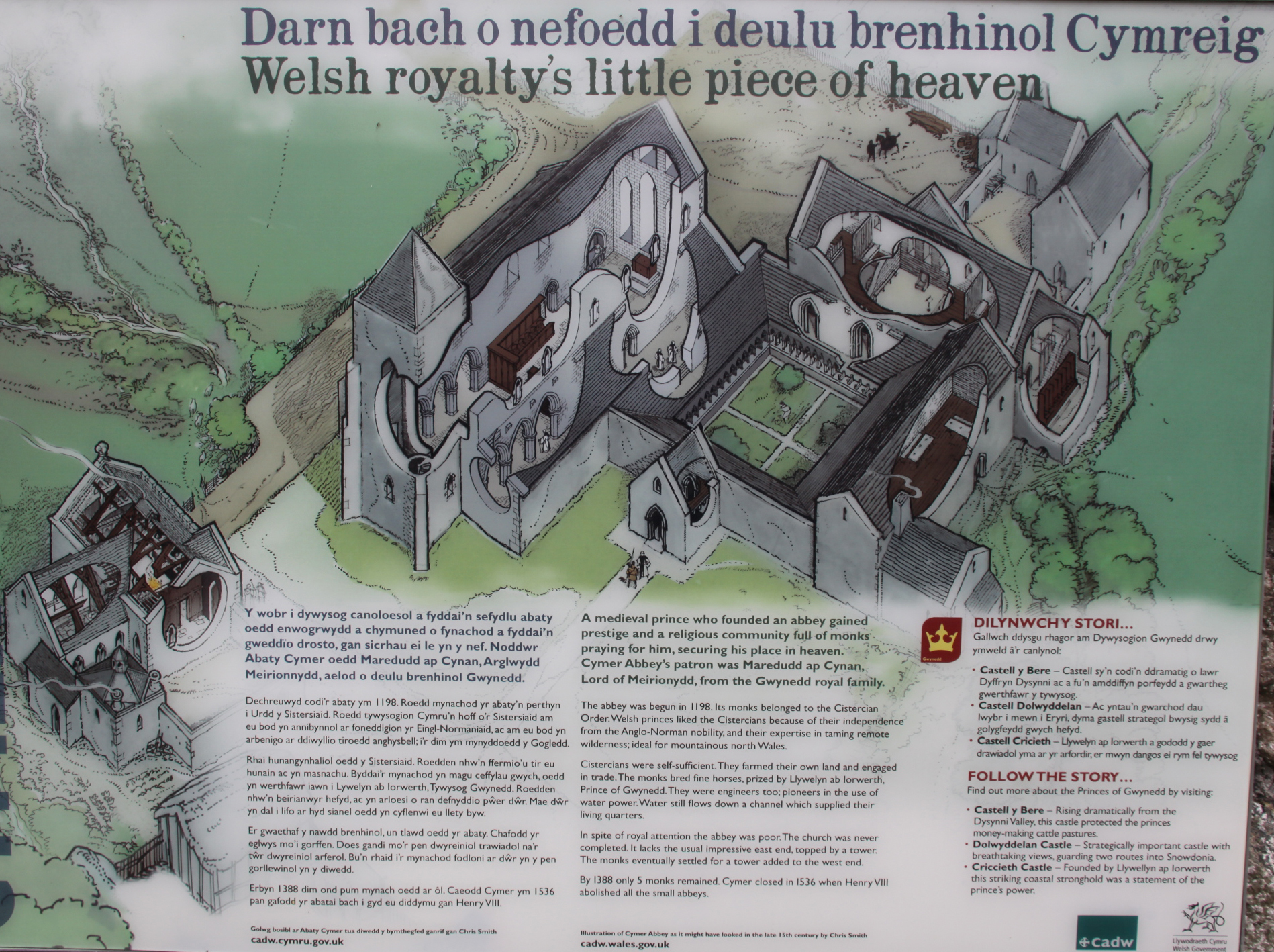
Cadw sign at Cymer Abbey showing an artist’s impression of the 14th Century abbey
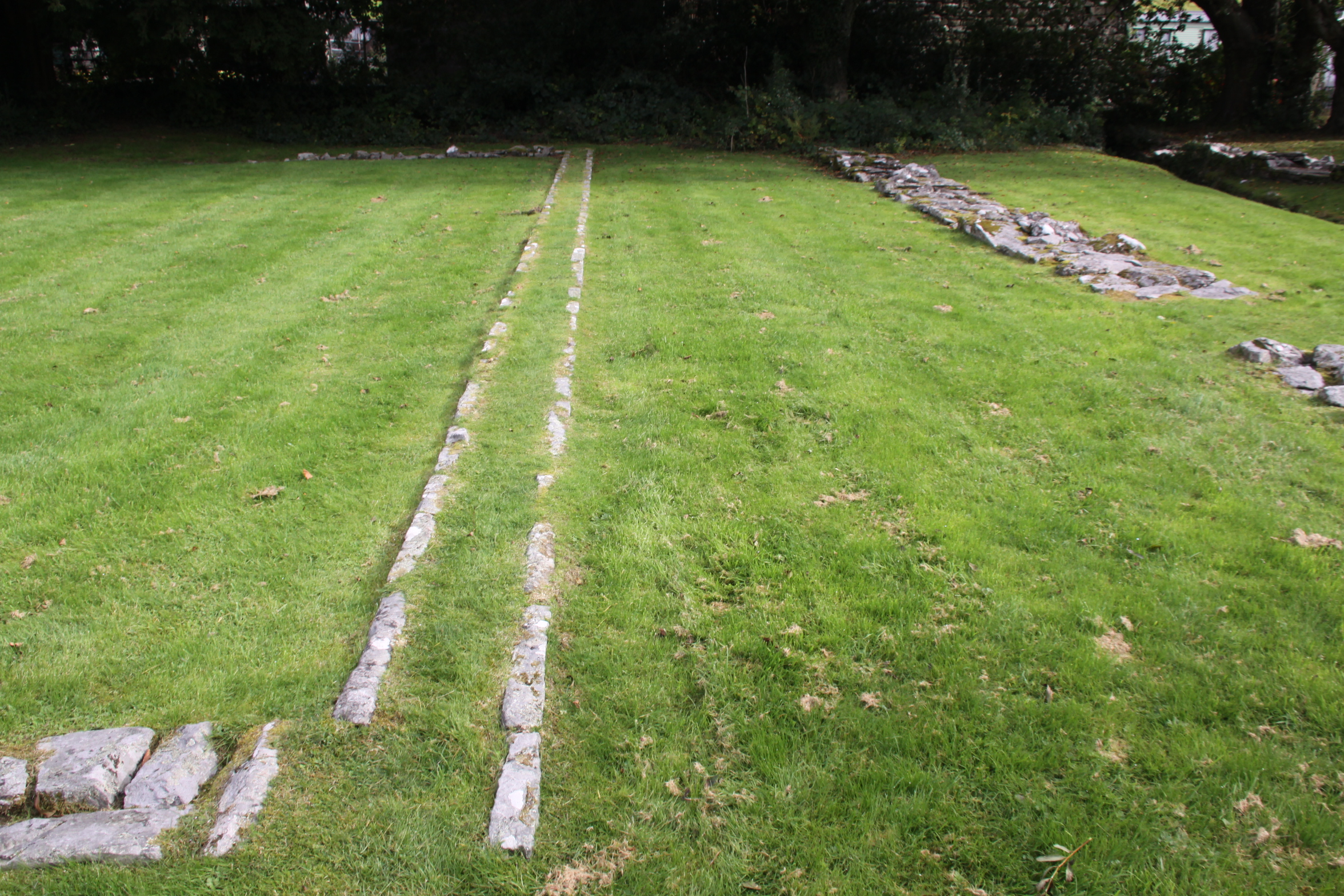
Above this east range of rooms was usually the monks’ dormitory and latrines. Although the abbot would have slept with the monks in the early years, by the 15th Century at Cymer he had his own house, over the site of which a farmhouse now stands. Against the cloister wall shared with the church were often desks to enable reading and copying. At the far end of the cloister, opposite the church, was the refectory. At some abbeys this is perpendicular to the line of the cloister, sticking out, but at Cymer it lies along the cloister. A stone lavatorium (washing trough or bowl) would have been close by, often in the garth, and monks ritually purified their hands with water before eating. It is not clear what made up the west range, but it could have included, for example, the kitchen, the cellarer’s office and the lay brothers’ day room and refectory.
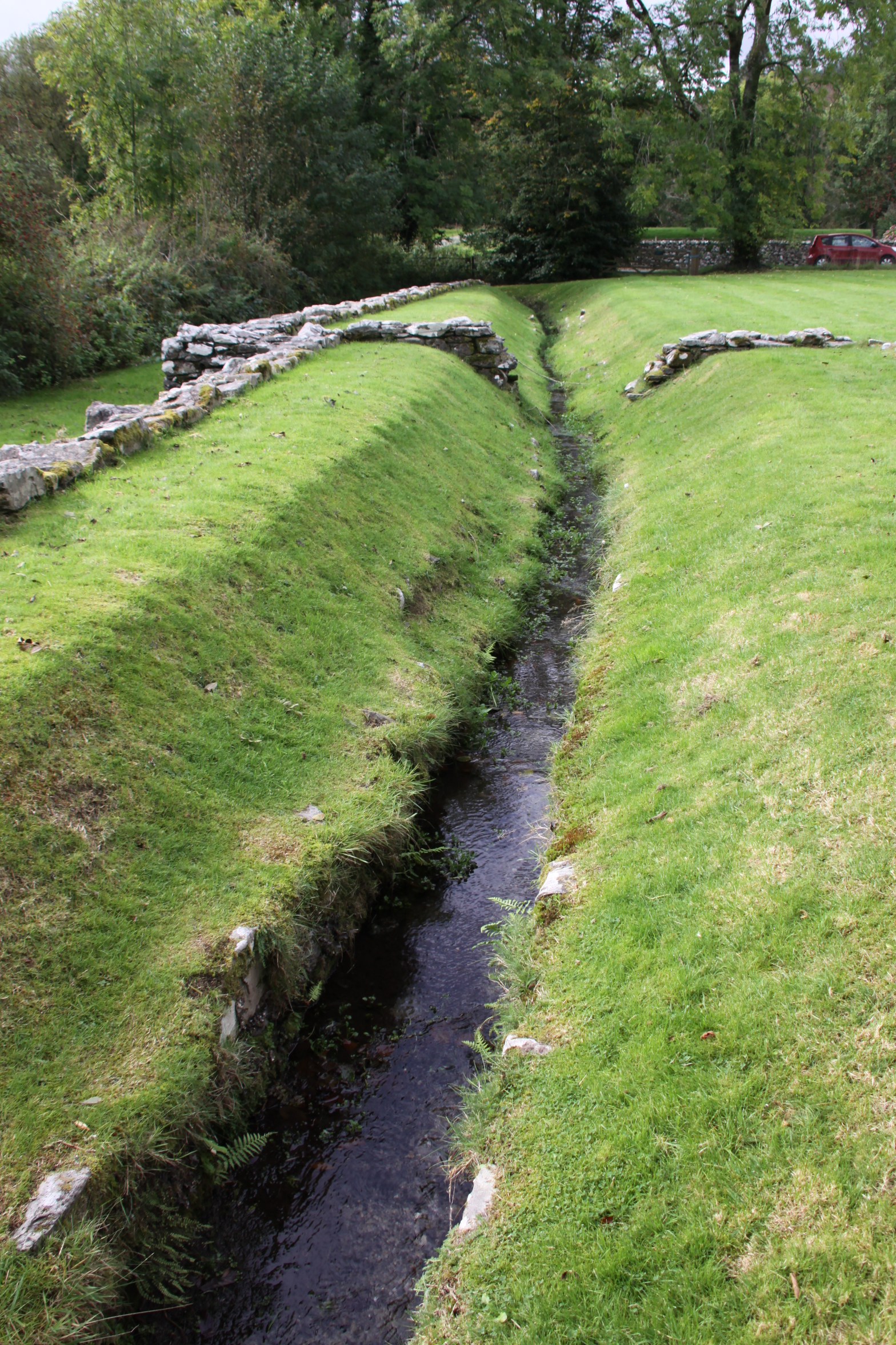
Water channel running down the middle of the refectory
Cistercian abbeys were known for their skills diverting and using water. At Cymer a v-shaped channel drew water off the river and diverted it through the refectory. It still flows today.
The monastery was never one of the Cistercians’ more successful establishments. In fact, it was probably one of the most understated and impoverished of the abbeys. Most of the successful abbeys supported themselves by farming, selling wool from herds of sheep, horse breeding, tithes (a special tax on householders that supported church establishments), by taking income from estates that they owned, and by personal donations. Its contemporary, Valle Crucis near Llangollen, founded in 1201, benefitted from all of these sources of income, but Cymer was always a very modest outpost of the Cistercian world. Cymer lacked the big grange estates that supported Valle Crucis, had little agricultural land and few fishing rights, although it did sell its wool and horses to the prince Llewellyn ap Iorwerth (died 1240). Most of its properties were in mountainous areas, including Llanelltyd, Llanfachreth, Llanegryn and Neigwl on the Lleyn peinsula. Dairying seems to have been a primary activity, and Llewellyn’s charter mentions metallurgy and mining, which is surprising for such a small establishment. Cistercian abbeys all owned loyalty to the founding abbey in France, Citeaux. Cash was clearly short. Every year abbots were required to visit Citeaux to participate in the General Chapter, a vast gathering of abbots and other monastic leaders that served to ensure obedience to the order and to reinforce its rules. In 1274, the abbot of Cymer had to borrow a sum of £12.00 (today about 8,757, the equivalent of 15 horses or 34 cows) from Llewellyn ap Gruffud (died c.1282) to enable him to undertake the expense of the journey.
There were multiple difficulties establishing an abbot who could be trusted to run the abbey, and these resulted in disputes that would not have helped the fortunes of the abbey:
In 1443, John ap Rhys left office at Cymer and appeared as an abbot in Strata Florida Abbey. In his place a John Cobbe was chosen, but Rhys did not think to give up Cymer and banished his successor. This led to the taking of the convent and his new abbot Richard Kirby under royal custody. Once again, the monarch’s supervision was necessary in 1453. During this period, the abbey’s income was valued at a very small amount of £ 15 of annual income. Despite the royal interventions, disputes over the appointment of the abbot’s office continued at the end of the 15th century. In 1487, there was even excommunication by the general chapter of one of the monks, William, because of his self-proclaimed election. Despite this, in 1491 he was again mentioned in the documents as abbot of Cymer. Lewis ap Thomas was the last superior of the monastery since 1517. [from Janusz Michalew’s Ancient and Medieval Architecture]
The entrance from the south aisle of the church into the cloister. Only monks were permitted to use this.
It is also clear that Cymer suffered during military conflicts, which cannot have helped its fortunes. Some of its buildings were burned during one of Henry III’s campaigns. Llewellyn ap Gruffud made the monastery his military headquarters in both 1275 and 1279, and only a few years later Edward I occupied the abbey in 1284. There are records that Edward paid £80.00 compensation to Cymer for damages inflicted during the occupation. Today this is equivalent to £55,525 (around 94 horses or 177 heads of cattle). By 1379 only an abbot and four monks were resident at the abbey. In Henry VIII’s 1536 evaluation of the value of abbeys, the abbey was valued at only £51 13s and 4d (around £6,913 today, enough to purchase 3 horses or 12 cows). [Currency conversions from the National Archives Currency Convertor].
Double archway from the main body of the church into the north aisle.
In the early 16th Century Henry VIII had fallen out with the Pope over his wished-for divorce from Catherine of Aragon. As the head of the church in England and Wales, Pope
Clement VII was the only person who could rubber stamp the divorce. Henry was fortunate that the Protestant movement started by Luther was taking shape in Europe, and in order to remove himself from the power of the Pope, he aligned himself with the new movement and declared himself the head of the Church of England. No longer owing any loyalty to Catholic institutions, he set out to value them as economic units, a survey called the Valor Ecclesiasticus, and in 1536 announced that any abbeys with an income less than £200.00 should be “suppressed” under the Act of Suppression. This effectively meant that they were closed as monastic establishments, their valuables sold or melted down. Some villages took over the church, whilst some were given or leased to new owners. The grandeur of some of the abbeys proved to be very attractive to some new owners. If abandoned, the lead used in roofs and drainage stripped, leaving them vulnerable to the weather. As a small abbey, Cymer was a victim of this first round of suppressions, and was closed in 1536/37. Other, much larger and prestigious abbeys were disbanded over the following years.
Facing stones on one of the arches dividing the main nave from the north aisle
Although Christianity and spiritual concerns were still important in both urban and village life, there does not appear to have been much public resistance to the closure of abbeys. The central role of monasteries in caring for the souls of the rich had gone into decline, but the abbeys were still important parts of economic and social life, engaging in trade, dispensing charity, caring for the sick and welcoming pilgrims. It was still considered to be good to have all that spirituality on one’s doorstep. Still, the rumblings generated by Martin Luther, whose views on all the liturgies, prayers and rituals that took place in abbeys were soon well known (he referred to them as “dumb ceremonies”), and his comments on the Catholic fixation on saints and relics as “mere superstition,” were finding attentive audiences throughout Europe. In fact, the world was becoming rather less superstitious as time went on and knowledge began to supplement if not replace faith. The world in which the monasteries operated was changing, and Henry VIII gave the world a far from subtle push in a completely new direction.

The left-side lancet window at the east end of the church
Although some abbots and priors stood up for their institutions against the Act of Suppression, that was always, in practical if not spiritual terms, a mistake – they were usually killed and their establishments destroyed. In the north of England a 30,000-strong protest descended on York demanding that their monasteries remained open. Henry VIII promised that the grievances of the protestors would be heard if they would return to their homes, but 200 people regarded as central to the protest were rounded up and killed.
Other religious leaders and their followers, either due to fear or pragmatism, counted their blessings and accepted the radical change if not happily, at least without active resistance. Some abbots and priors jumped on Henry’s bandwagon and went to work elsewhere in the new church structure, whilst the remainder of the individuals in the monastic community, male and female, were pensioned off. The immense wealth that Henry amassed with the sudden acquisition of the abbeys, their lands and their treasures was eventually spent on wars.
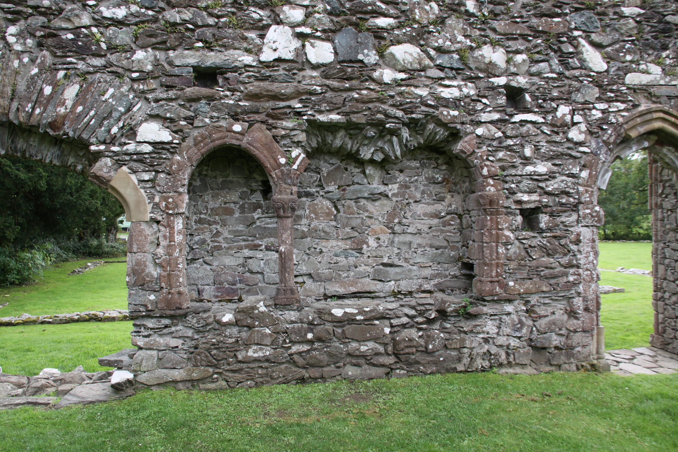
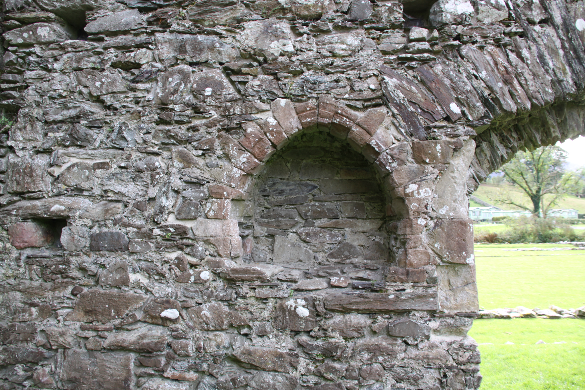
At the east end of the abbey, in the south aisle, an arched recess is provided with touches of decorative red sandstone. These touches give an idea of how the abbey achieved some degree of ornamentation without the opulence of cathedrals and Cluniac abbeys.
Apparently someone, possibly the abbot, attempted to save some of the abbey’s dignity (or secure himself a nice pension) by hiding Cymer’s ecclesiastical plate, consisting of a 13th Century silver gilt chalice and paten, under a stone at Cwm-y-Mynach. Whatever the motive, whether to return it to the abbey’s headquarters at Citeaux, or to melt it down for personal benefit, it was never retrieved. Like most of the portable heritage of North Wales, it found its way to the National Museum of Wales in Cardiff. I have been unable to find out if it is still there, or to find an image of it.
Following dissolution, the property was leased to John Powes, “royal servant,” but not until May 1558. It was probably robbed for building stone for surrounding farm buildings and dry-stone walling, and once the roof either fell into disrepair or was robbed for tiles or lead, exposure would have led to rapid deterioration.
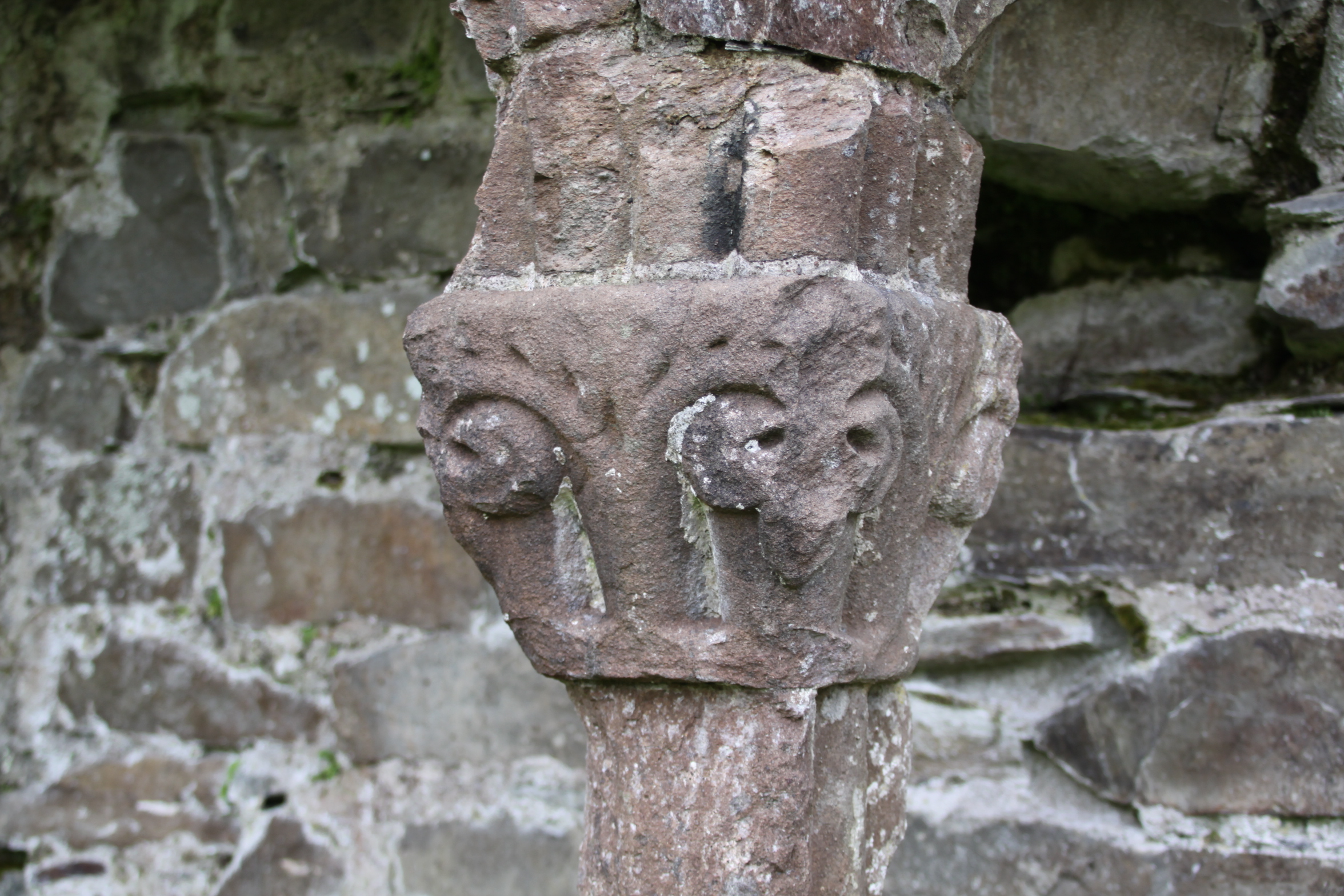
Detail of one of the capitals, in red sandstone (detail of the above photograph).
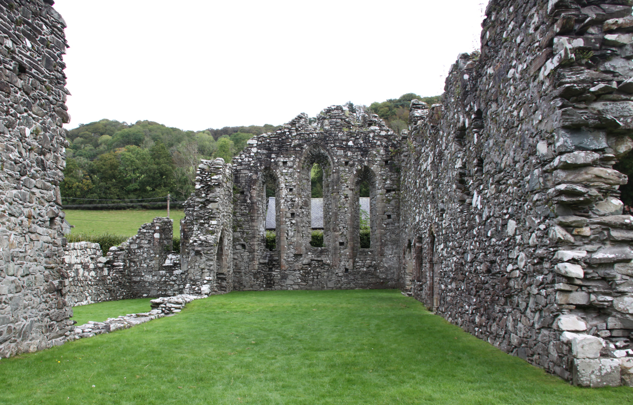
East end of the truncated church

Spiral staircase in the 14th Century tower leading to – where? There was presumably an upper floor in the tower.
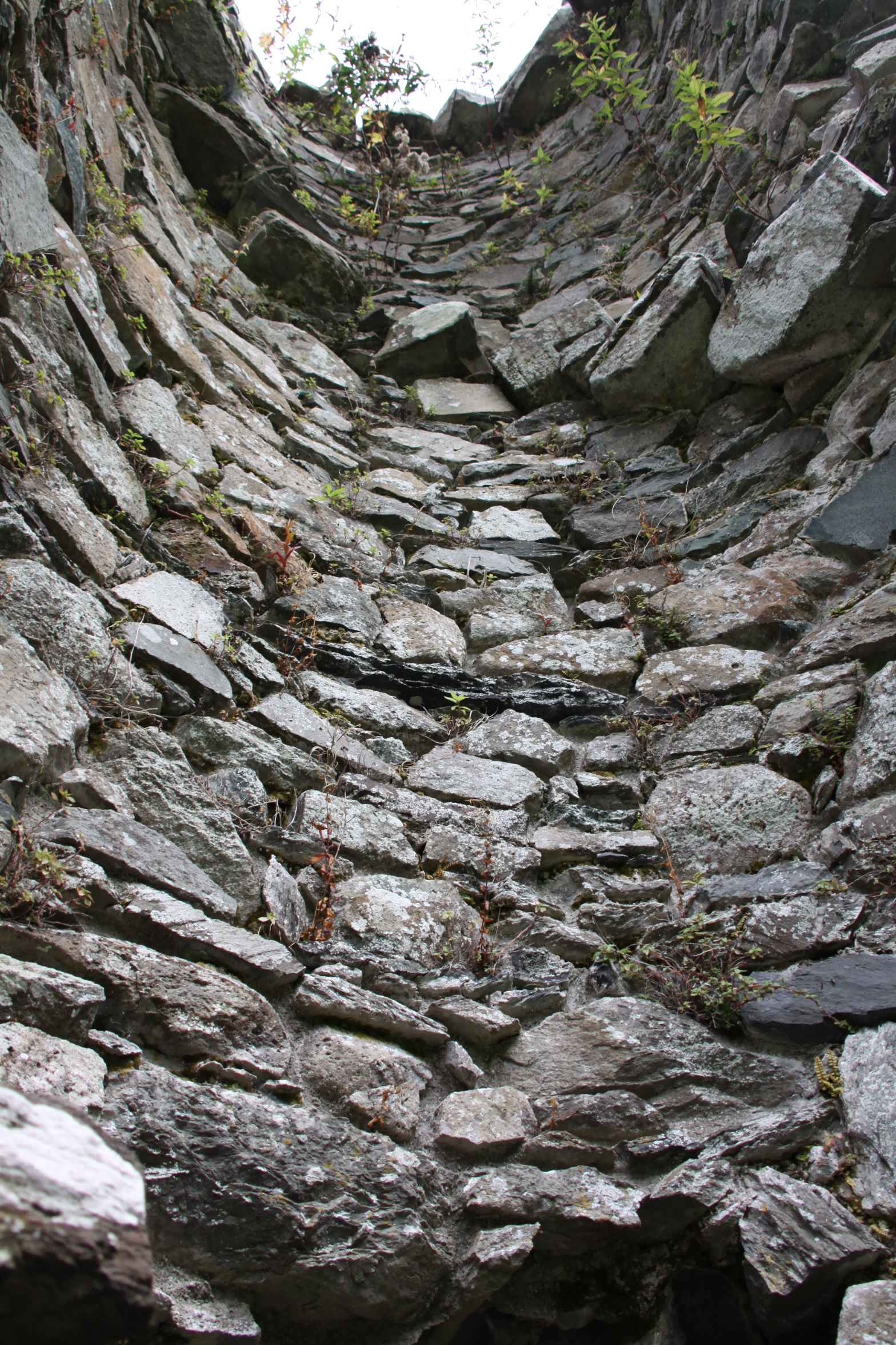
Remains of the spiral staircase in the 14th Century tower

East end of the church
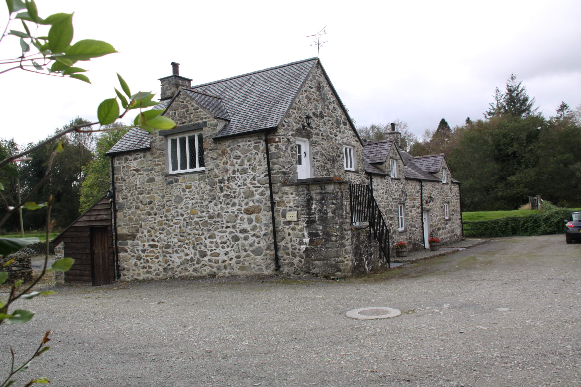
Farmhouse that lies over the site of the site of what is thought to be the abbot’s quarters

 Cymer Abbey is easy to reach. It lies just off the A487 north of Dolgellau and is well sign-posted. After driving through a small caravan park, there are two very attractive farm buildings, and a small parking area. Both parking and access to the abbey ruins are free of charge. There is an information board showing the main features of the abbey.
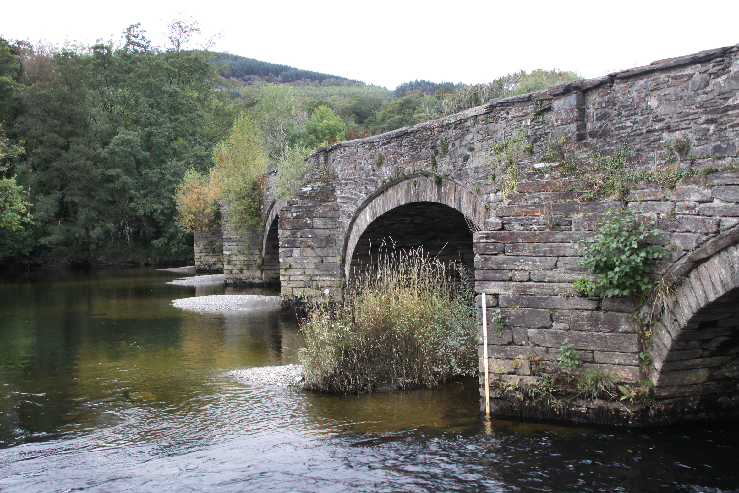
 The river Mawddach, which was a ford during Medieval times, had a lovely road bridge built over it in the 18th Century, which is now a foot bridge. A car park on the Cymer side of Llanelltyd bridge is provided for those walking to the New Precipice Walk above the village of Llanelltyd on the other side of the bridge. The views from the bridge, both over the river and over the surrounding countryside, are well worth adding to the abbey visit. The bridge could do with a bit of maintenance, as the roots from the shrubs embedded into its brickwork will start to pull the mortar out and undermine the structure of the bridge.
Books and papers
Burton, J. 1994. Monastic and Religious Orders in Britain 1000-1300. Cambridge Medieval Textbooks. Cambridge University Press.
Burton, J. and Kerr, J. 2011. The Cistercians in the Middle Ages. Boydell Press
Davis, S.J. 2018. Monasticism. A Very Short Introduction. Oxford University Press
Evans D.H. 2008, Valle Crucis Abbey, Cadw 2008
Gascoigne, B. 2003 (2nd edition). A Brief History of Christianity. Robinson
Gies, F. and Gies, J. 1990. Life in a Medieval Village. Harper
Gilingham, J, and Griffiths, R.A. 1984, 2000. Medieval Britain. A Very Short Introduction. Oxford University Press
Krüger, K. (ed.) 2012. Monasteries and Monastic Orders. 2000 years of Christian Art and Culture. H.F. Ullmann.
Livingstone, E.A. 2006 (Revised 2nd edition). Concise Dictionary of the Christian Church. Oxford University Press
Robinson, D.M. 1995 (2nd edition). Cymer Abbey. Cadw
Robinson, D.M and Harrison, S. 2006. Cistercian Cloisters in England and Wales Part I: Essay. Journal of the British Archaeological Association, 159:1, p.131-207
Websites
Coflein
Cymer Abbey
https://coflein.gov.uk/en/site/95420?term=cymer%20abbey
Ancient and Medieval Architecture – by Janusz Michalew
Llanelltyd – Cymer Abbey
https://medievalheritage.eu/en/main-page/heritage/wales/llanelltyd-cymer-abbey/
English Heritage
The Dissolution
https://www.english-heritage.org.uk/learn/histories/dissolution/
Monastic Wales
Cymer Abbey
https://www.monasticwales.org/browsedb.php?func=showsite&siteID=27
Open Yale Courses (Yale University, Connecticut)
The Early Middle Ages, 284–1000 (course given by Professor Paul H. Freedman)
https://oyc.yale.edu/history/hist-210
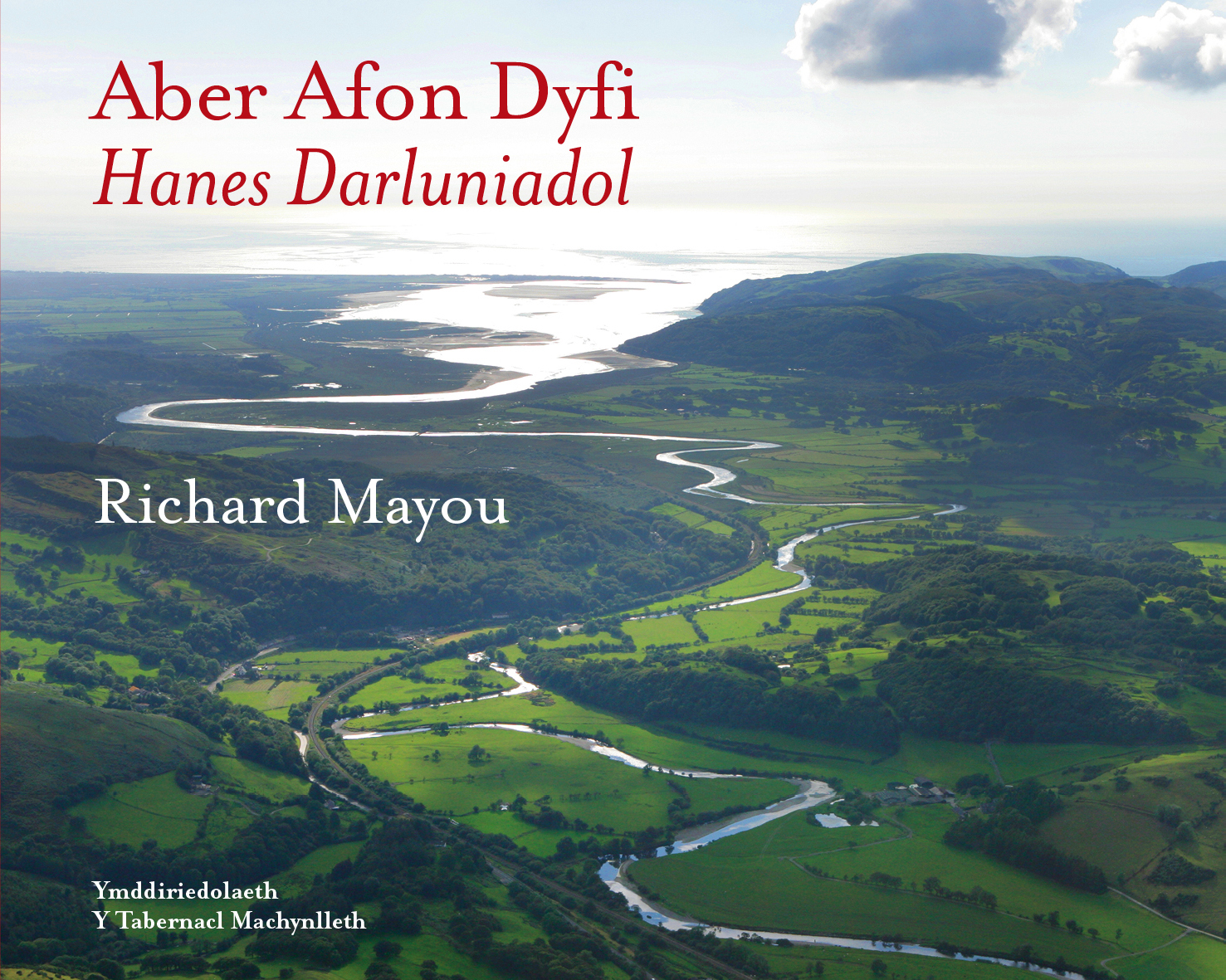
I am very excited to have taken receipt today of Richard Mayou’s new book “The Dyfi Estuary – An Illustrated History”, just published by The Machynlleth Tabernacle Trust. I will report more when I have done more than devour the feast of lovely photographs, but for anyone wanting to secure a copy, it is available from the Machynlleth MOMA (Museum of Modern Art) at https://moma.cymru/en/product-category/books/. There are two versions of the same book, one in English and one in Welsh. Here’s the preview from the back cover:
The Dyfi estuary looks peaceful and unchanging, but the book tells
a different and dramatic story. There have been armies, great estates, a centre
of seaborne trade, a great woollen industry, cattle droving and fishing of
salmon and herring and internationally renowned mines and quarries.
Now its post-industrial landscape is a place of
sheep-farming, conservation and tourism.
I’m chuffed to bits that this blog is listed in the further reading section.
 A nice walk over the hill and down the other side on the 25th September, through the Gywddgwion farm on the footpath, dropping down into a (mostly) dry stream bed that doubles up as a footpath in the summer, to collect some blackberries, emerging at Dyffryn Glyn Cul farm. We strolled down the single track lane to the coast road, crossed over and headed towards the dunes, and from there down on to the beach. This is my favourite bunch of beach photos to date. There were a couple of nice days after this, but it was the last of my walking for the time being, as I had to get down to some work. Adding the photos to this post rather belatedly on October 4th, the difference between those divine last days of September and the onset of October wind and rain is truly amazing.
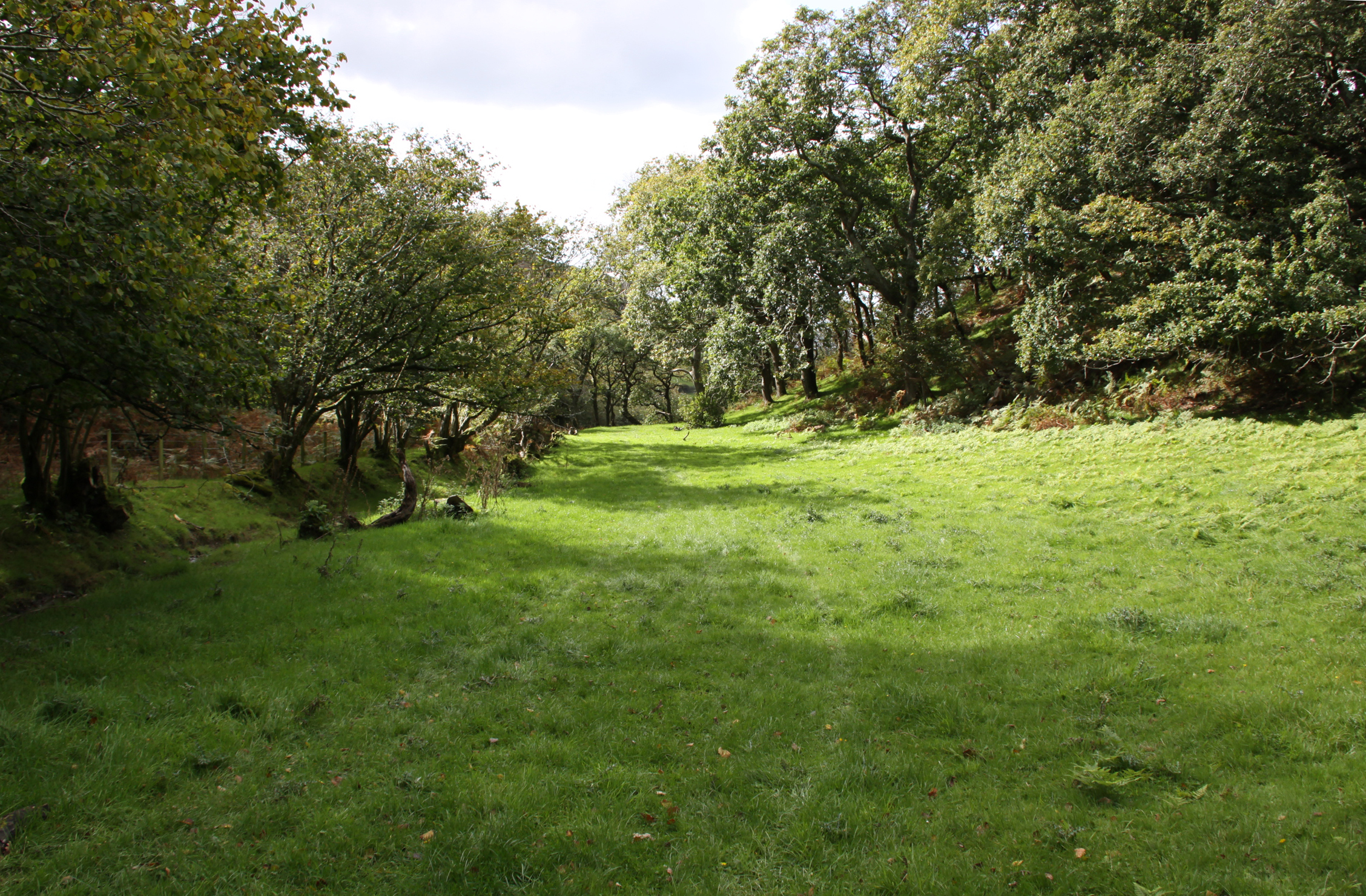


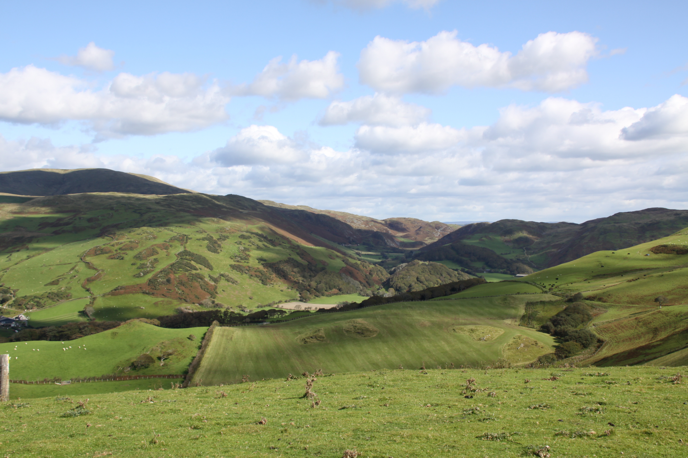
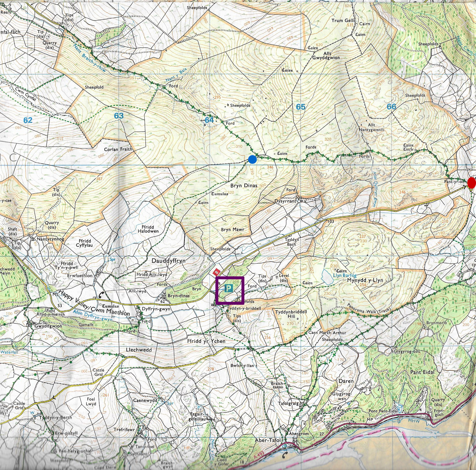
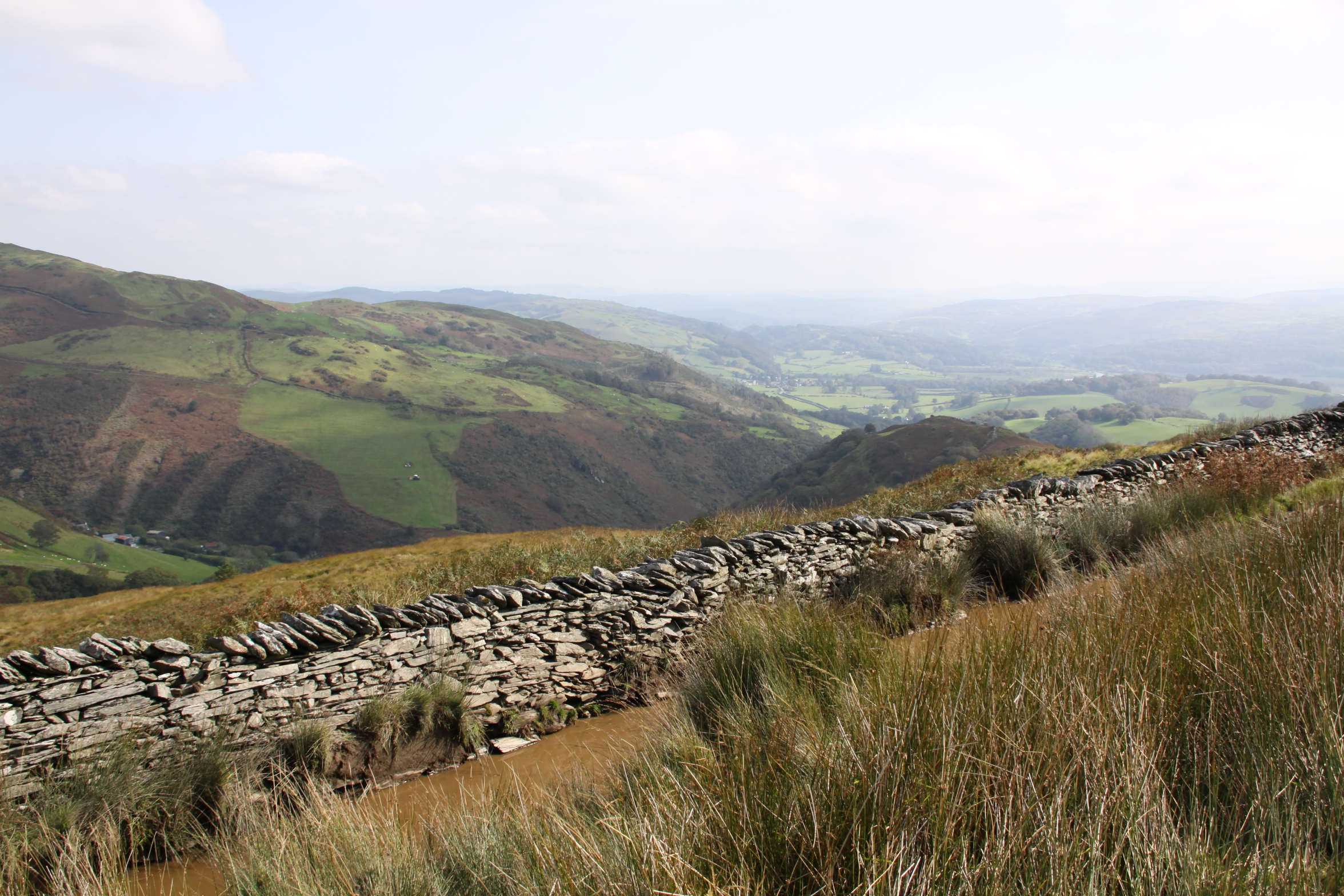
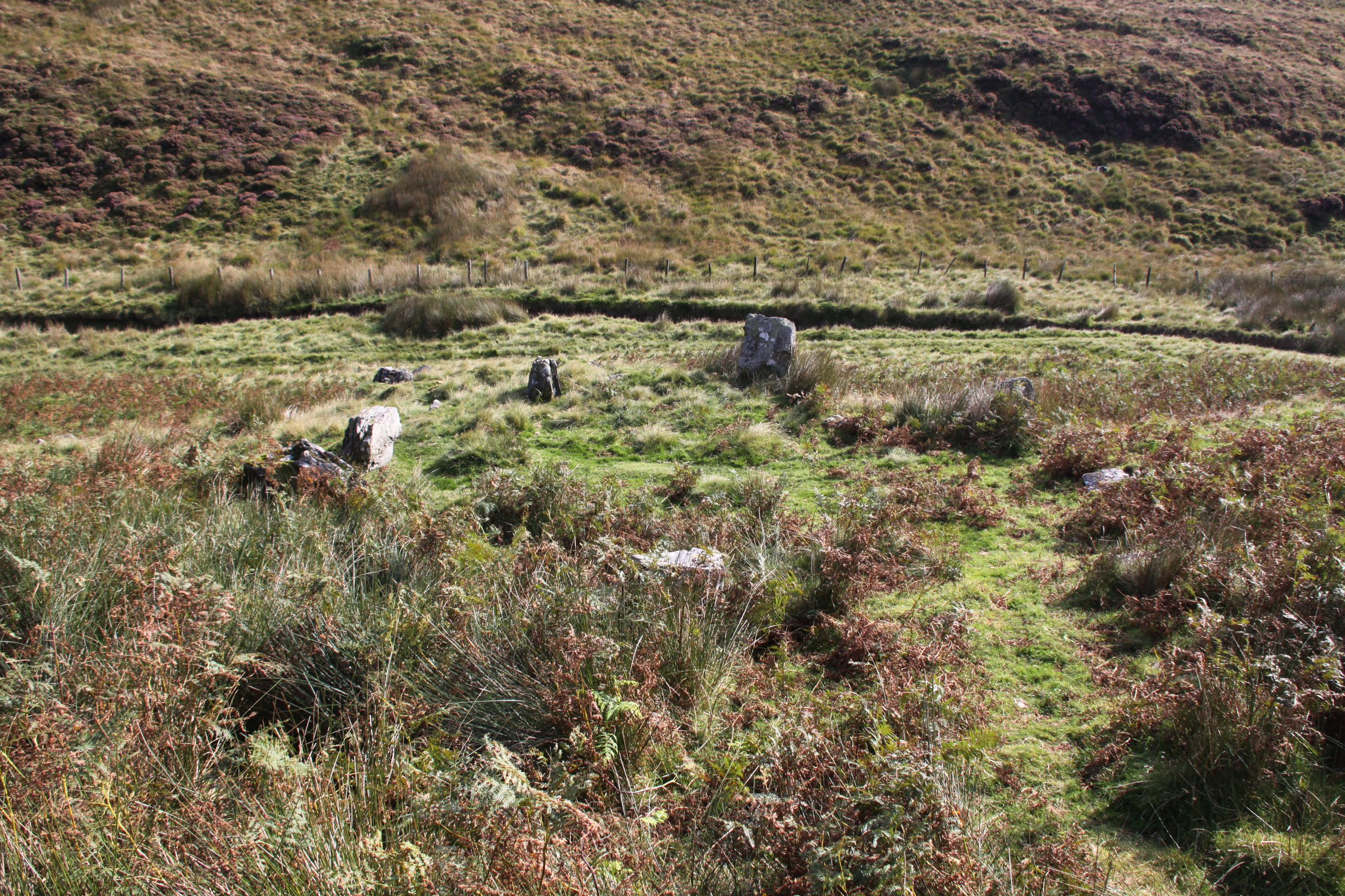
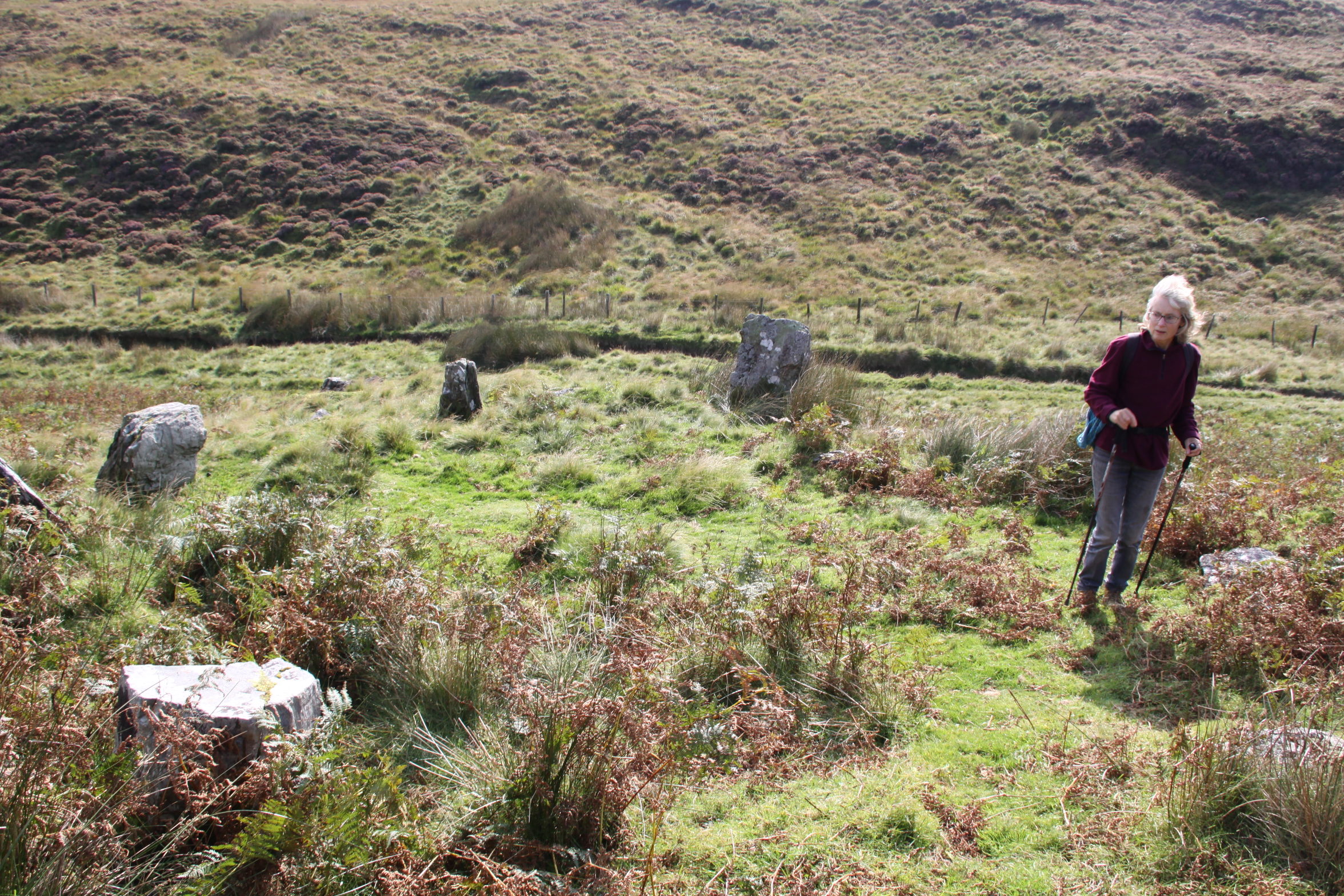
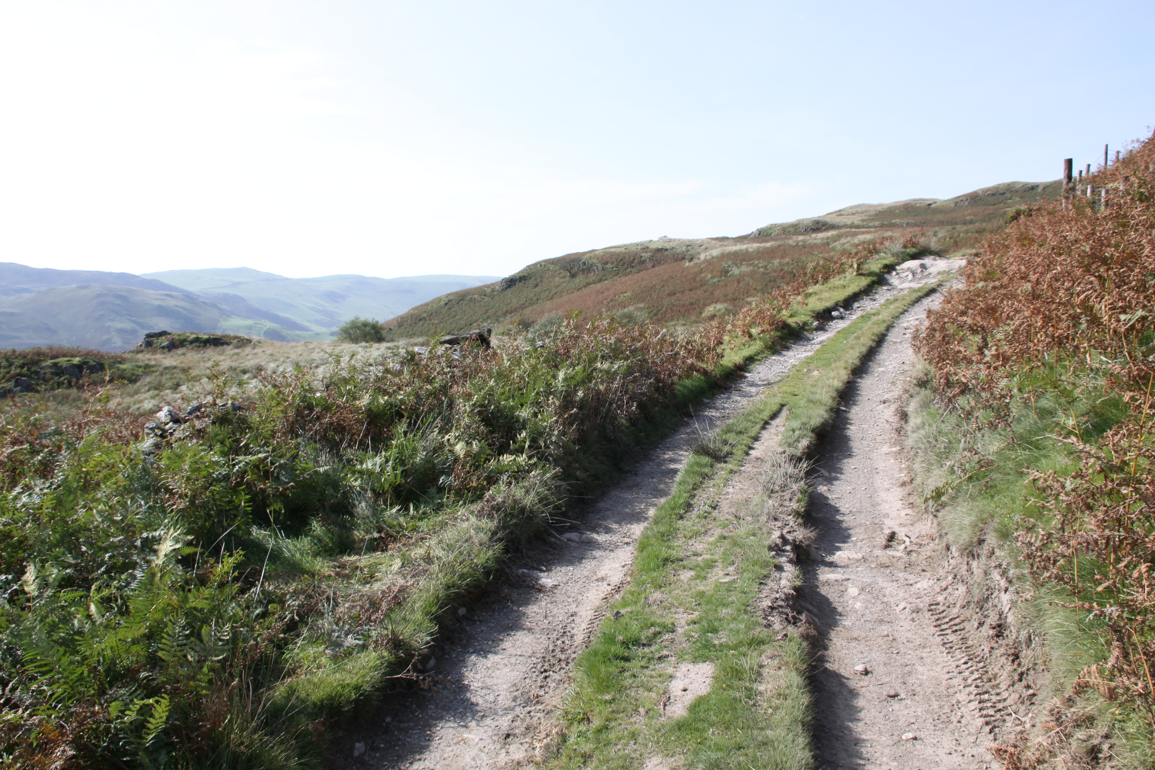
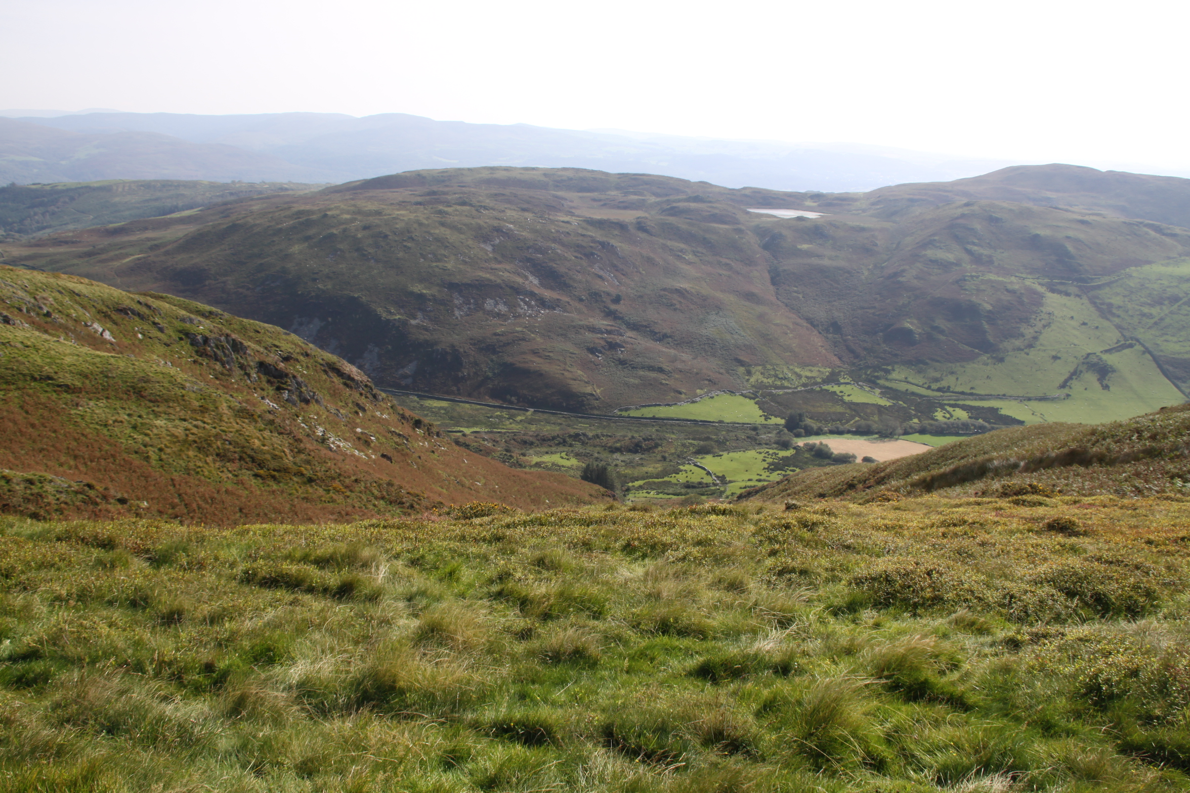
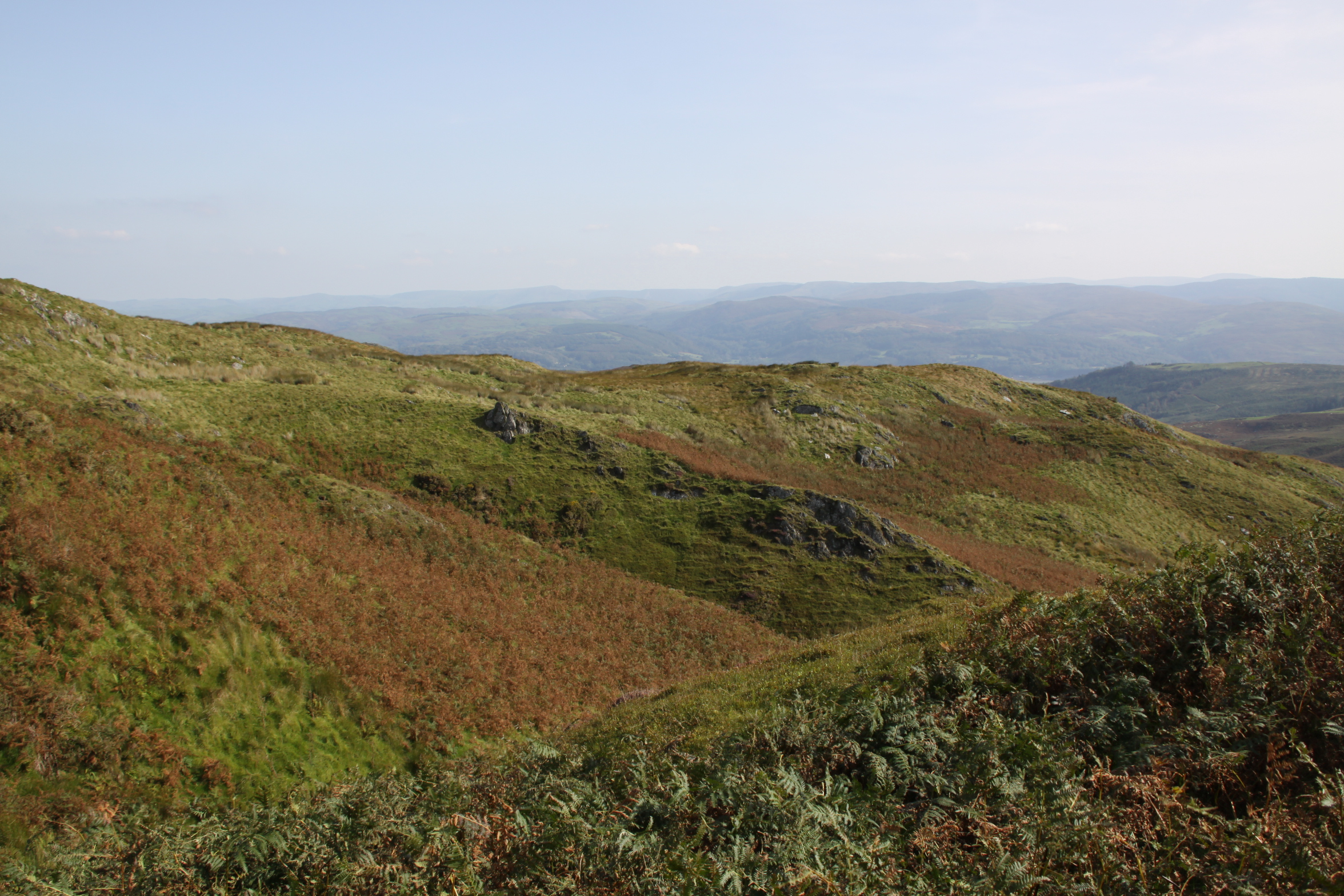
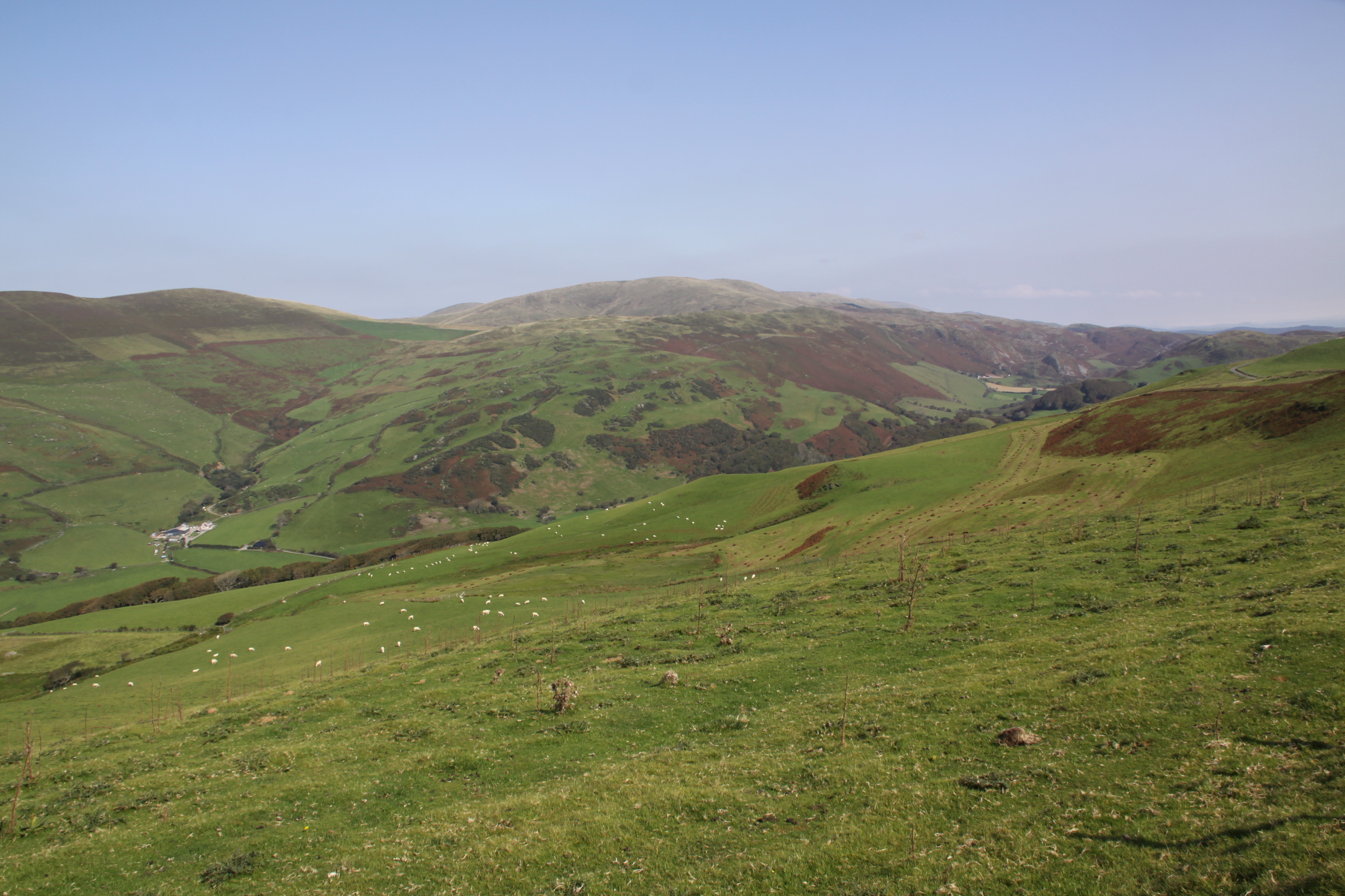
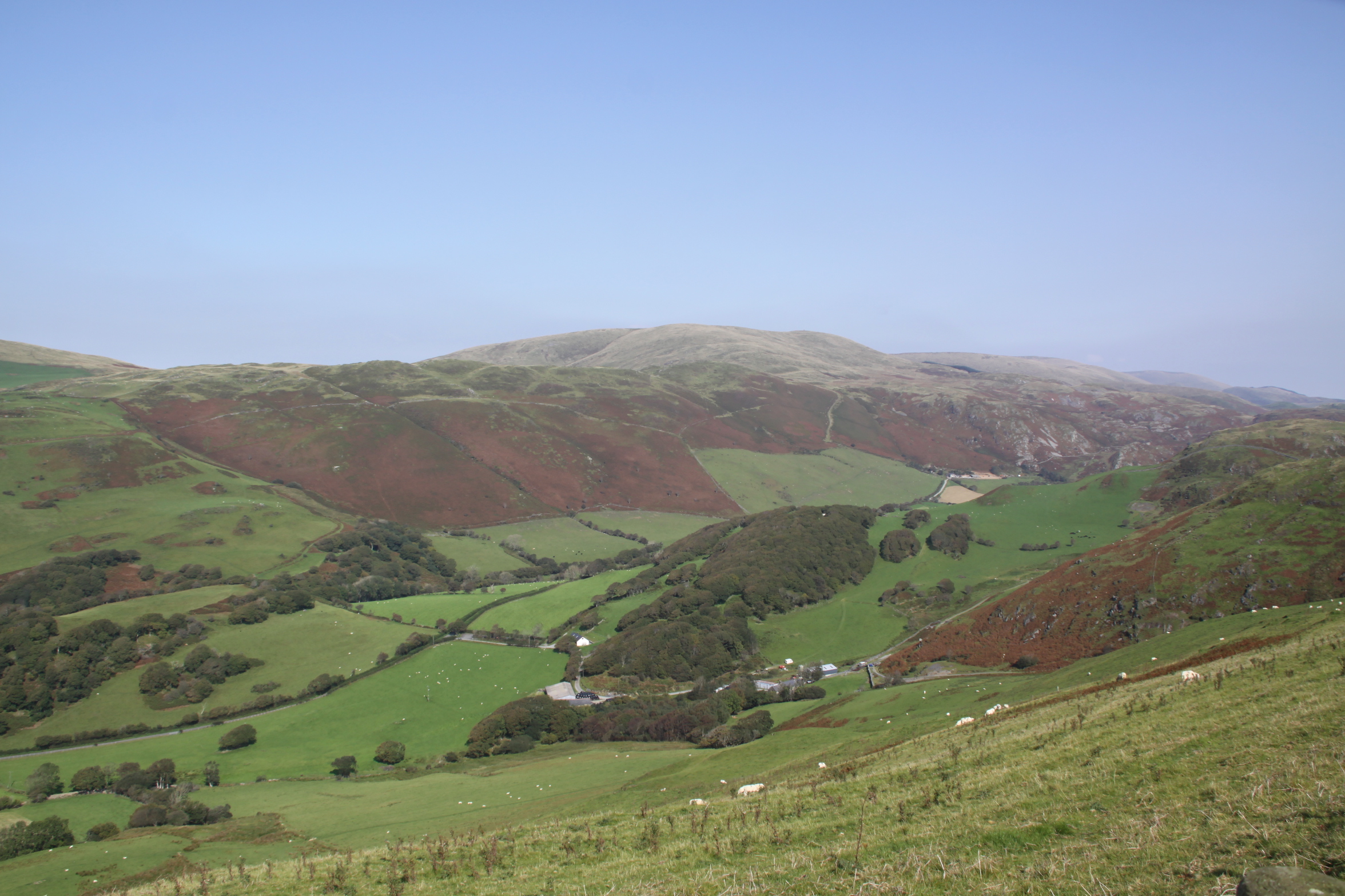
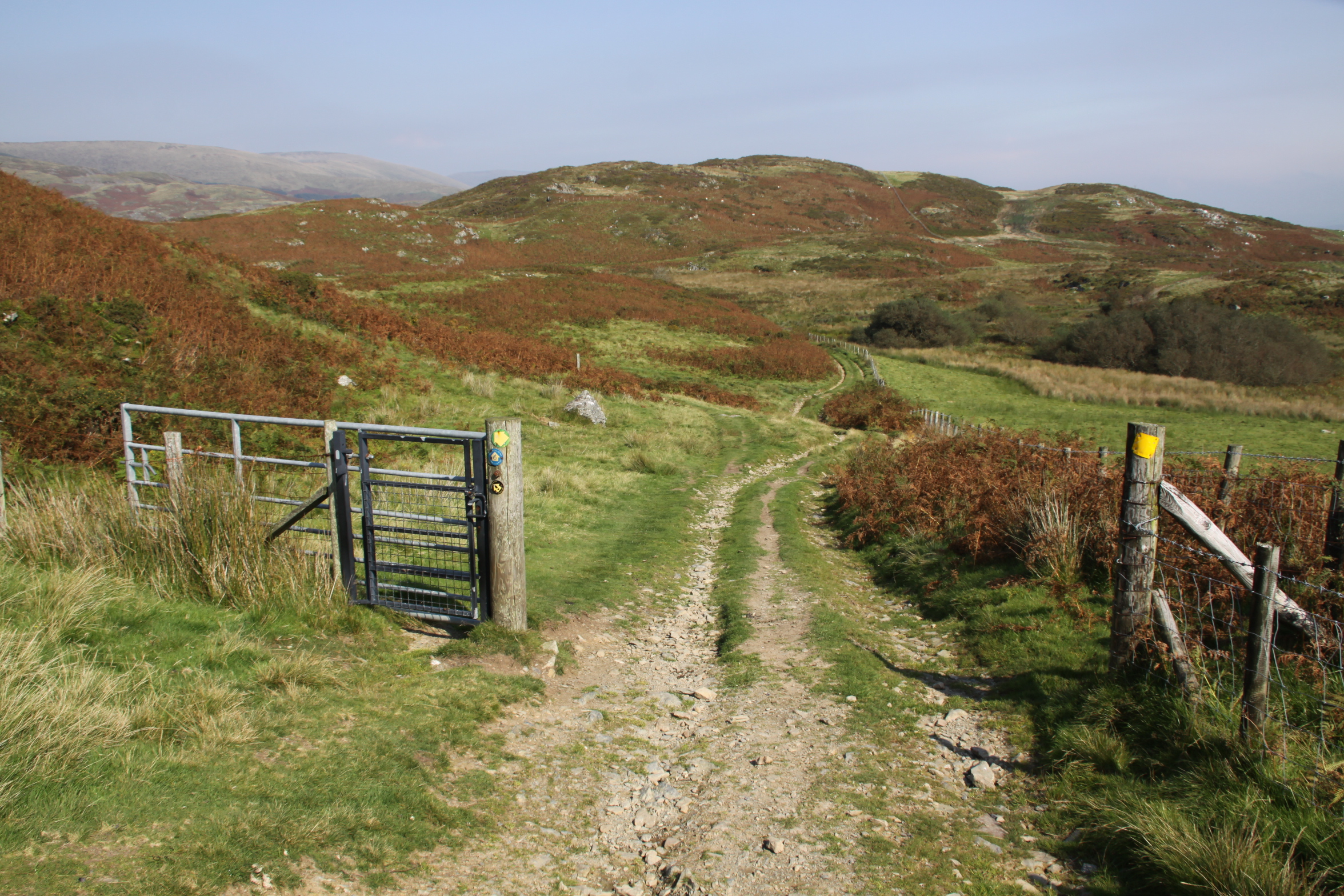
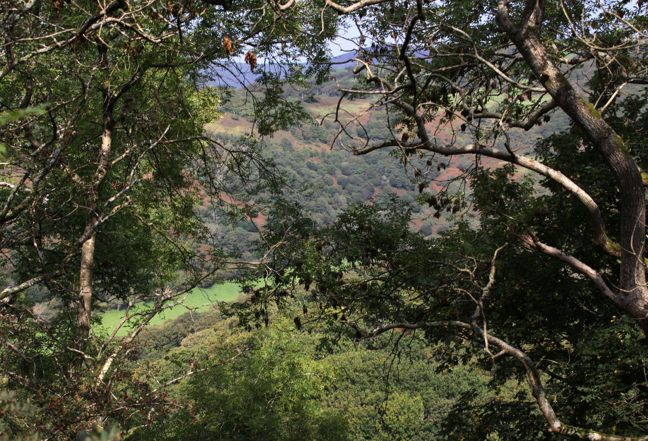
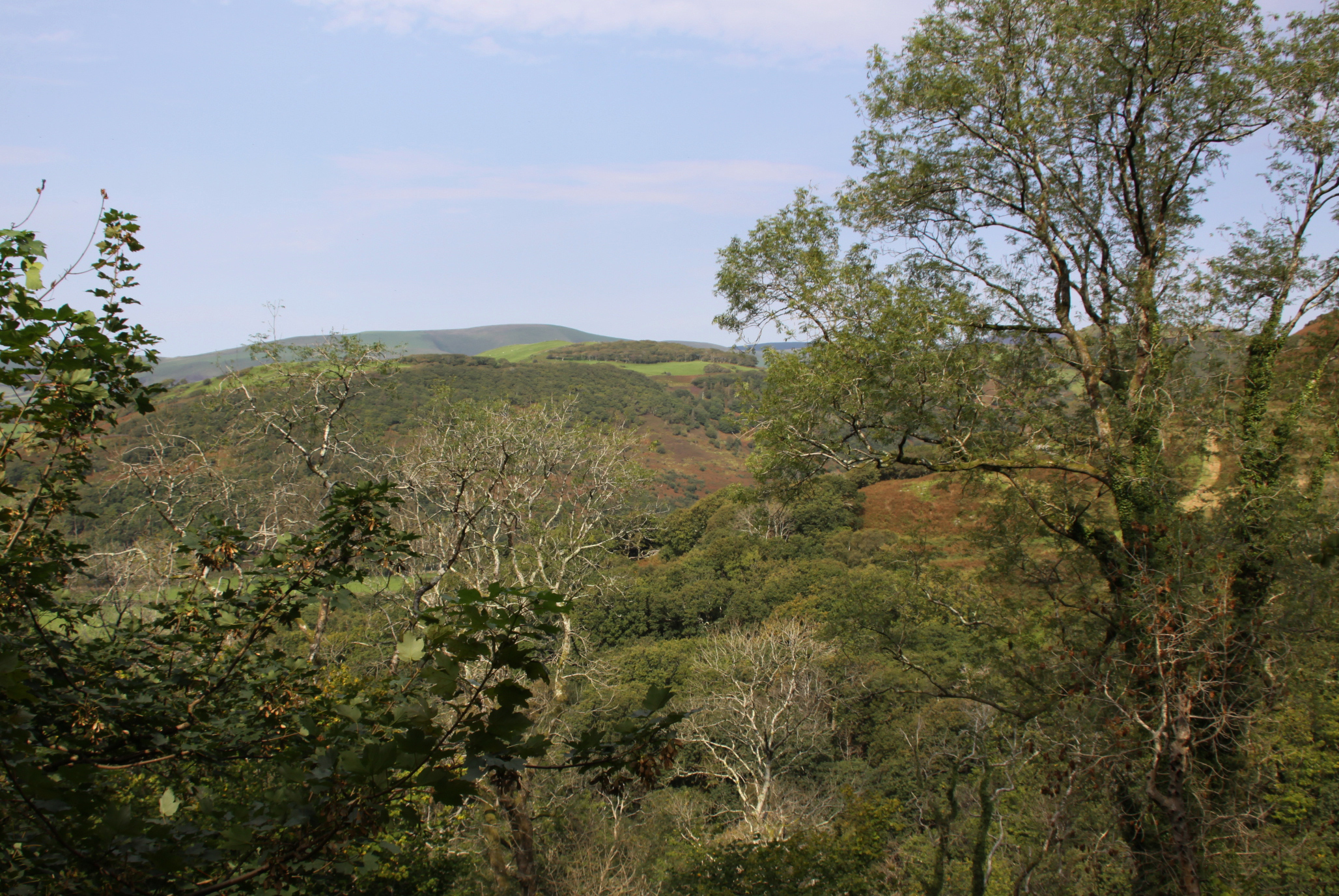
 I hadn’t seen my friend Caroline for ages, so it was great to do one of our social distancing walks, and one that was new to me, taking in a tiny prehistoric stone circle. The track is marked on the OS map as a “byway open to all traffic” and follows the line of the Nany Braich-y-rhiw stream, at a higher level. The views were as spectacular as they always are when you get on to the higher ground in these parts, into the Dyfi valley at the start of the walk, into Happy Valley, and eventually, ahead into the Dysynni valley. The track is very deep and carved out of the bedrock in places, just like the Aberdovey estuary’s “Roman Road,” which is actually thought to date to the 1820s. We drove to the point of departure in separate cars, parking on verges, as it is a long hike to reach the start from Aberdovey, and then a long hike in its own right. On this occasion it was a there-and-back walk rather than a circular one, but just as good because the views are different in each direction. It was 19th September and the weather was in our favour.
On the map below I’ve marked the starting point in red, and have put blue dot where another path descends into the valley, more or less opposite the Bearded Lake. Although we carried on along the main track, you can make a lengthy circular walk if you take the path into Happy Valley, and it would probably be easiest to park in the official Happy Valley car park if you are going to do that (which also serves as the car park for those wanting to walk up to the Bearded Lake).
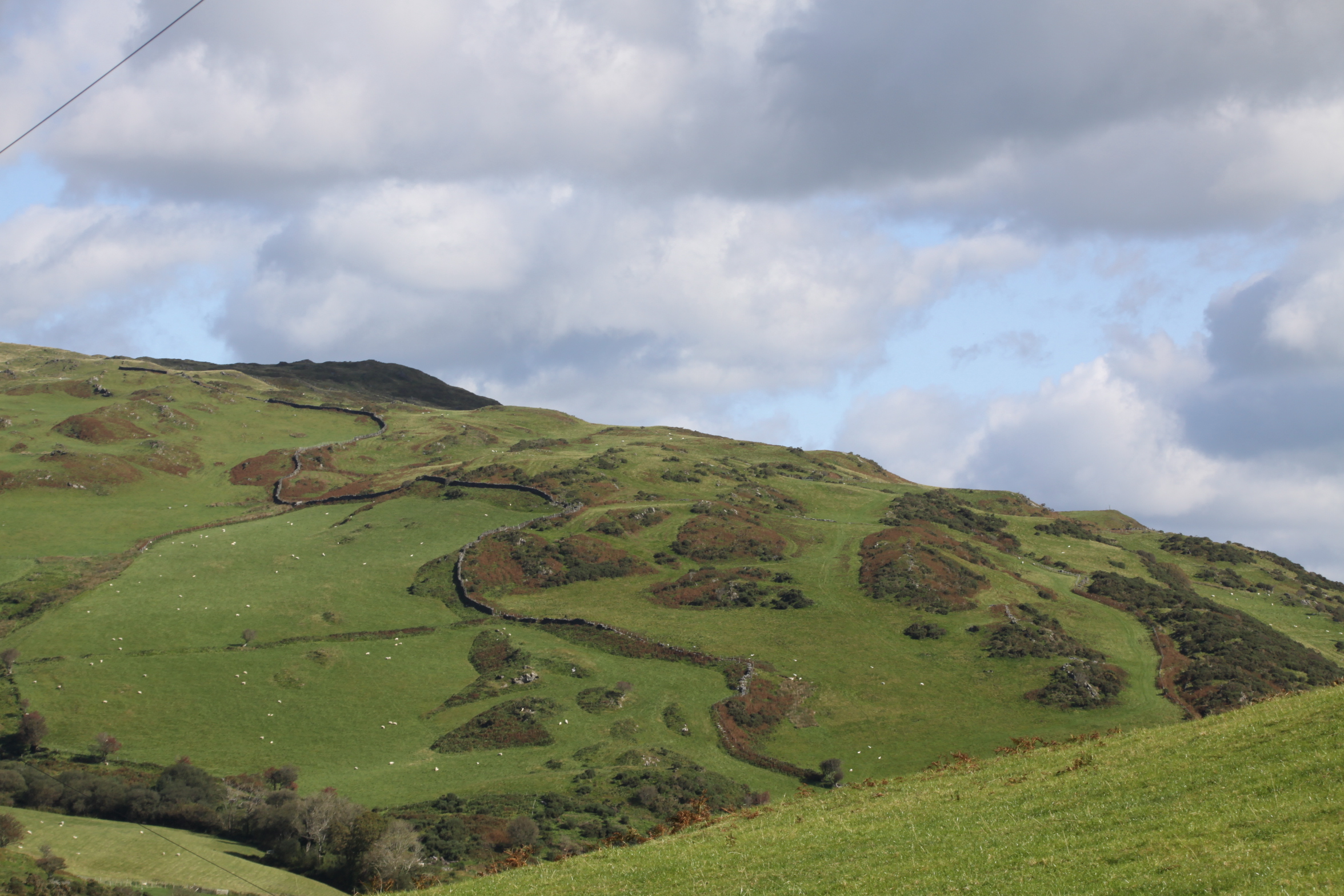
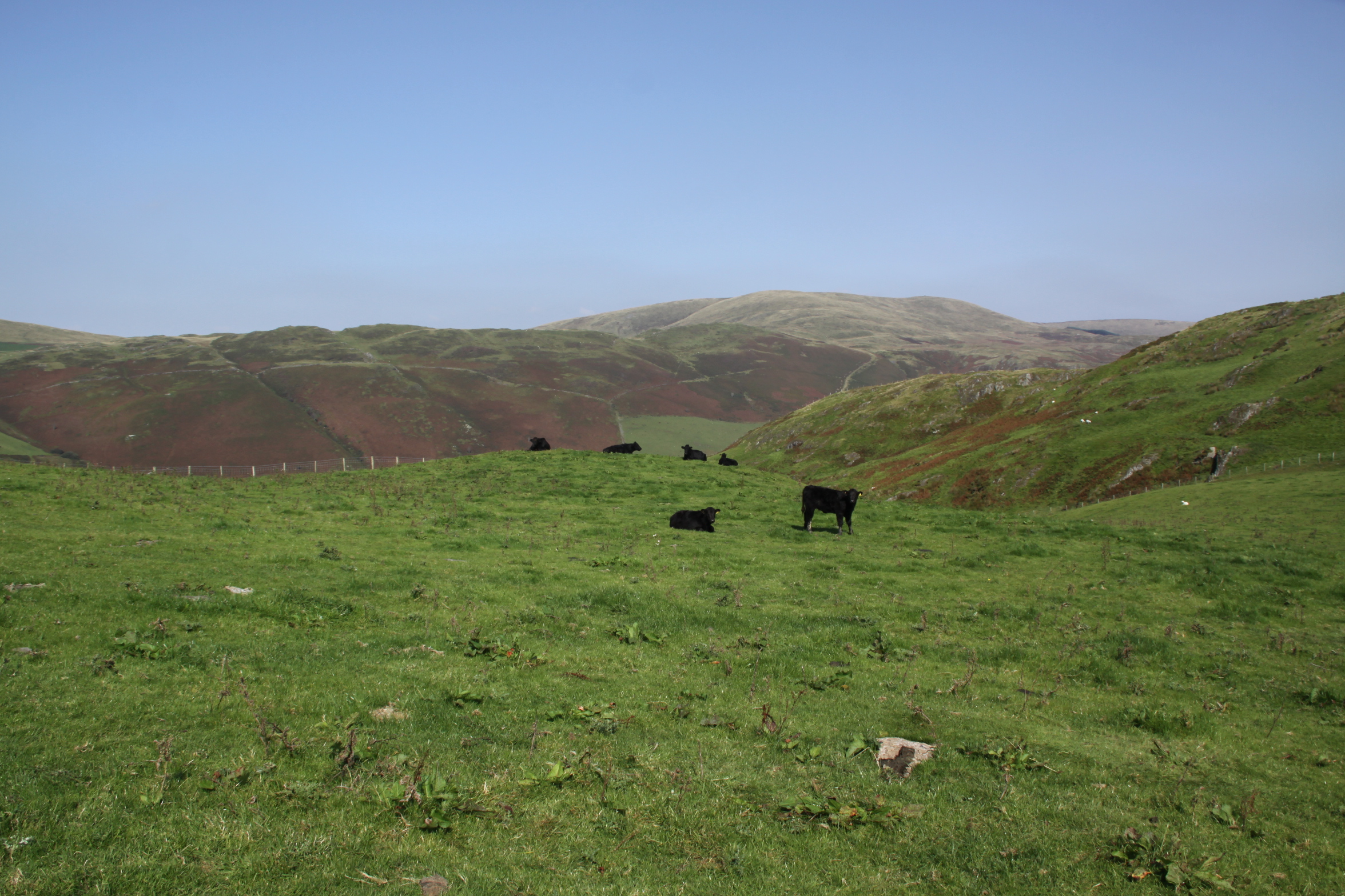
 It’s an easy walk if you have good footwear, with a good track and no very steep gradients. It should also be avoided in wet weather, or at least go in heavy duty footwear. It had been very dry for the previous week, but we still ended up having to walk off the path in certain places as it was swamped with mud, and was often marshy either side of the path. There were several points at which we had to ford fairly wide streams, two of which are marked on the map as fords. It was very windy even on a sunny day, so head gear would be a sensible precaution. The only cloud on the horizon was that at weekends it is used by trial bikers, travelling at speed, with precious little care for any walkers who might be round the next corner. Thanks to the noisy engines, you can hear them coming and get out of the way, but I recommend that you avoid walking there at weekends.
The stone circle is a little way along the path, up to the right, just a few seconds to reach it from the footpath.
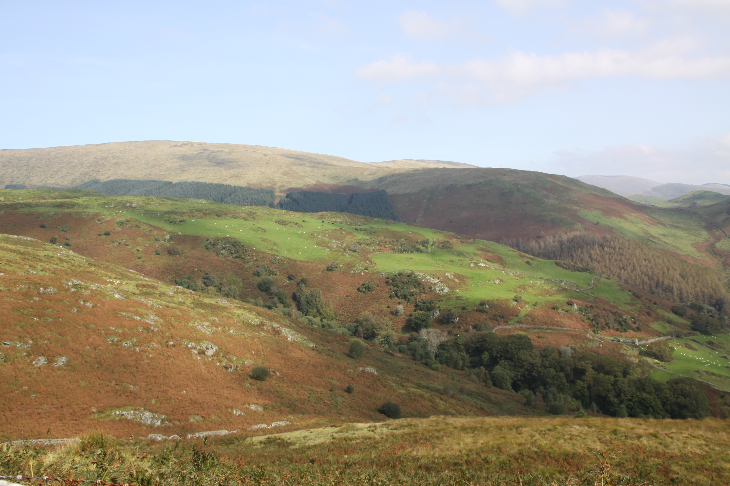
The walk offers beautiful views over Happy Valley and the hills beyond.

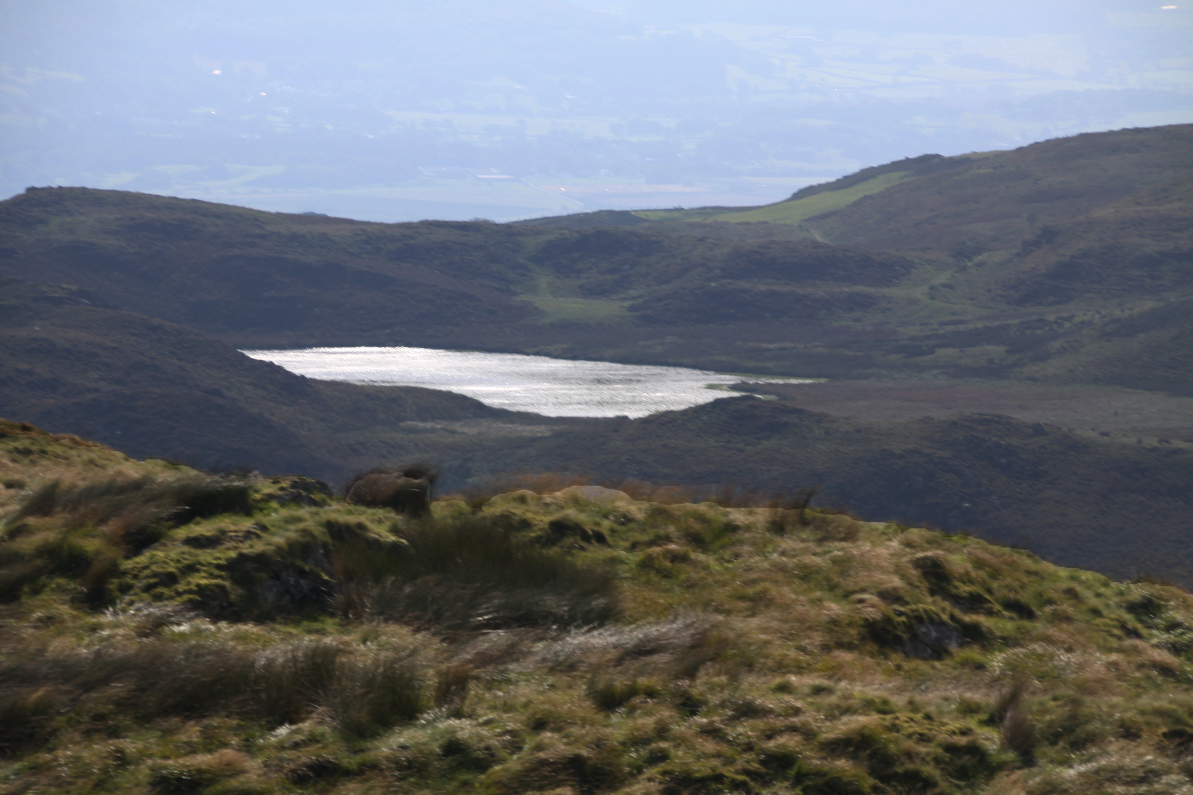
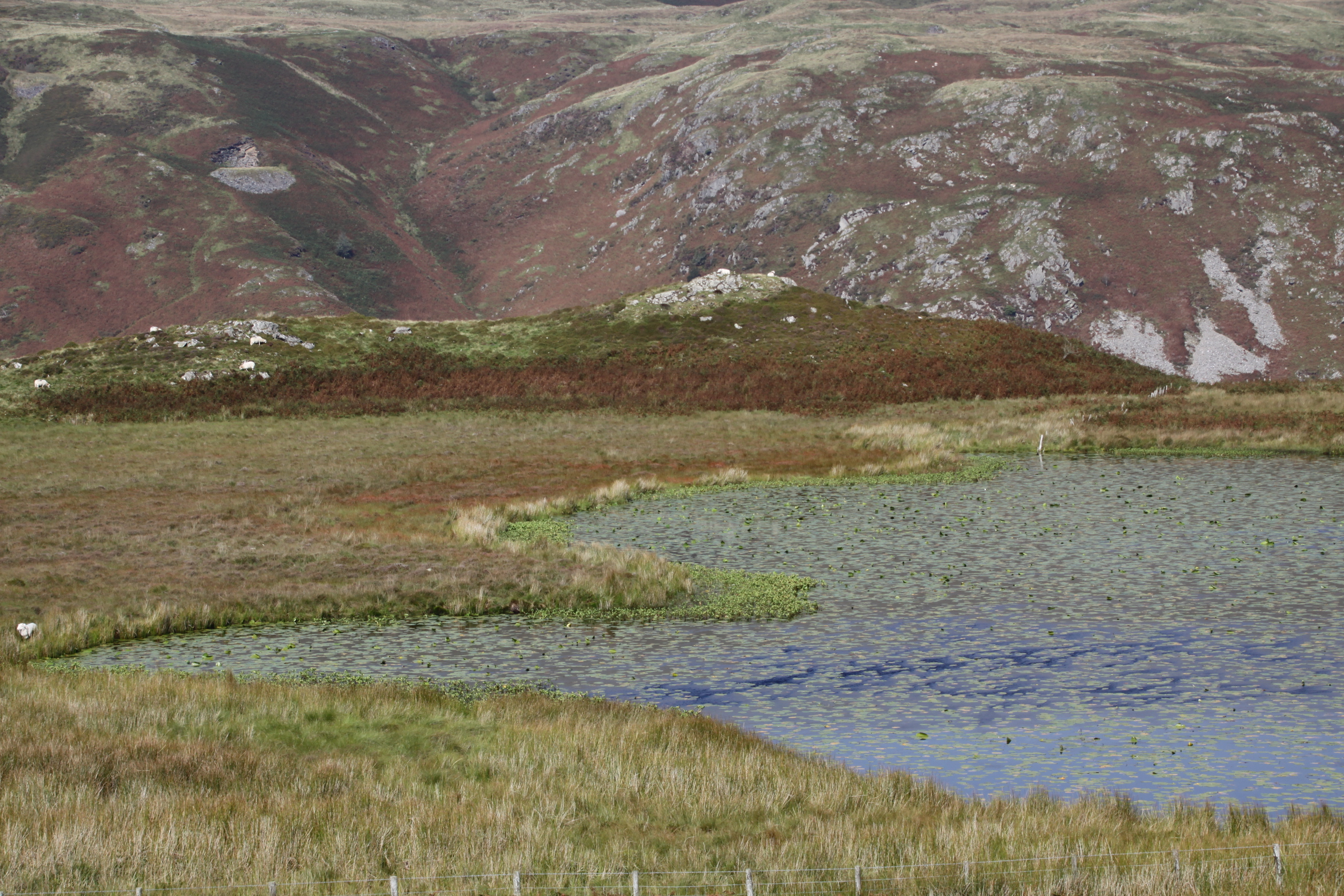
Watch out for the Bearded Lake on the other side of the valley to the left, on this occasion glistening in the sun like a silver mirror. I’ve written about the legends associated with the lake on an earlier post.
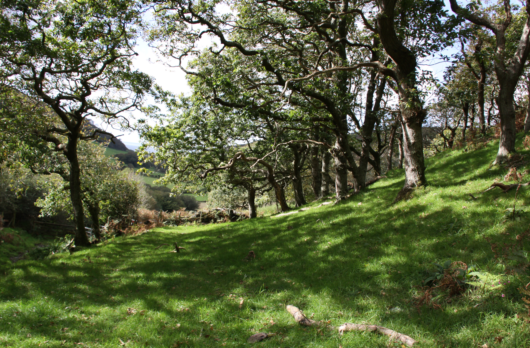
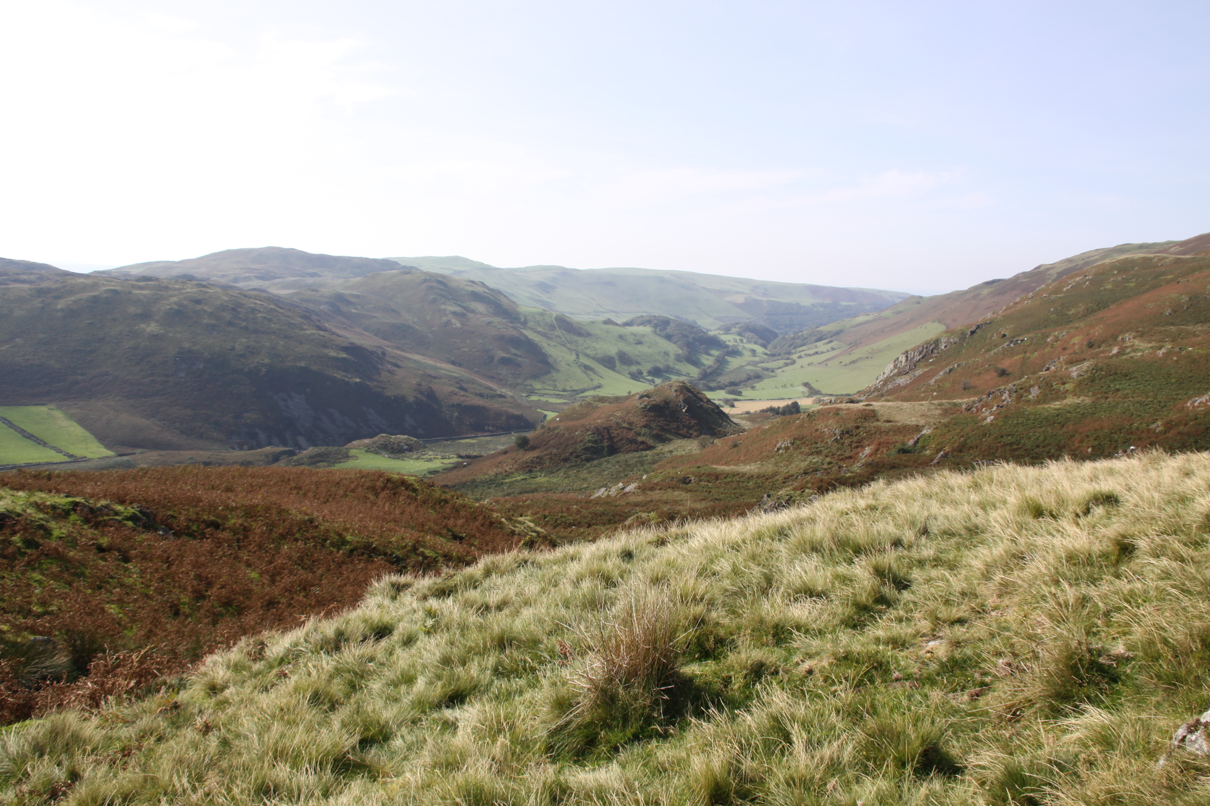
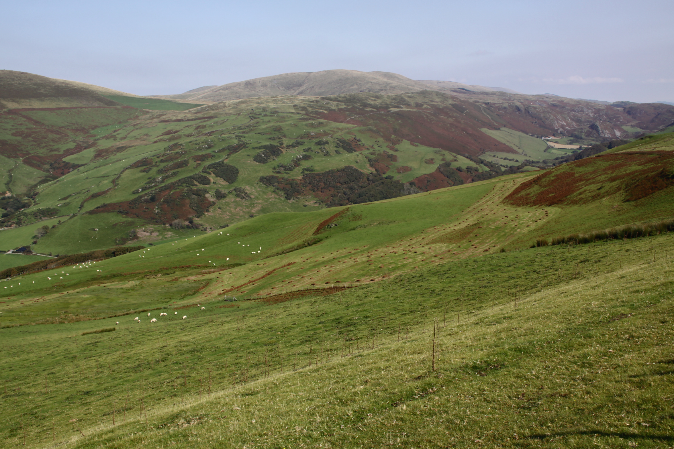
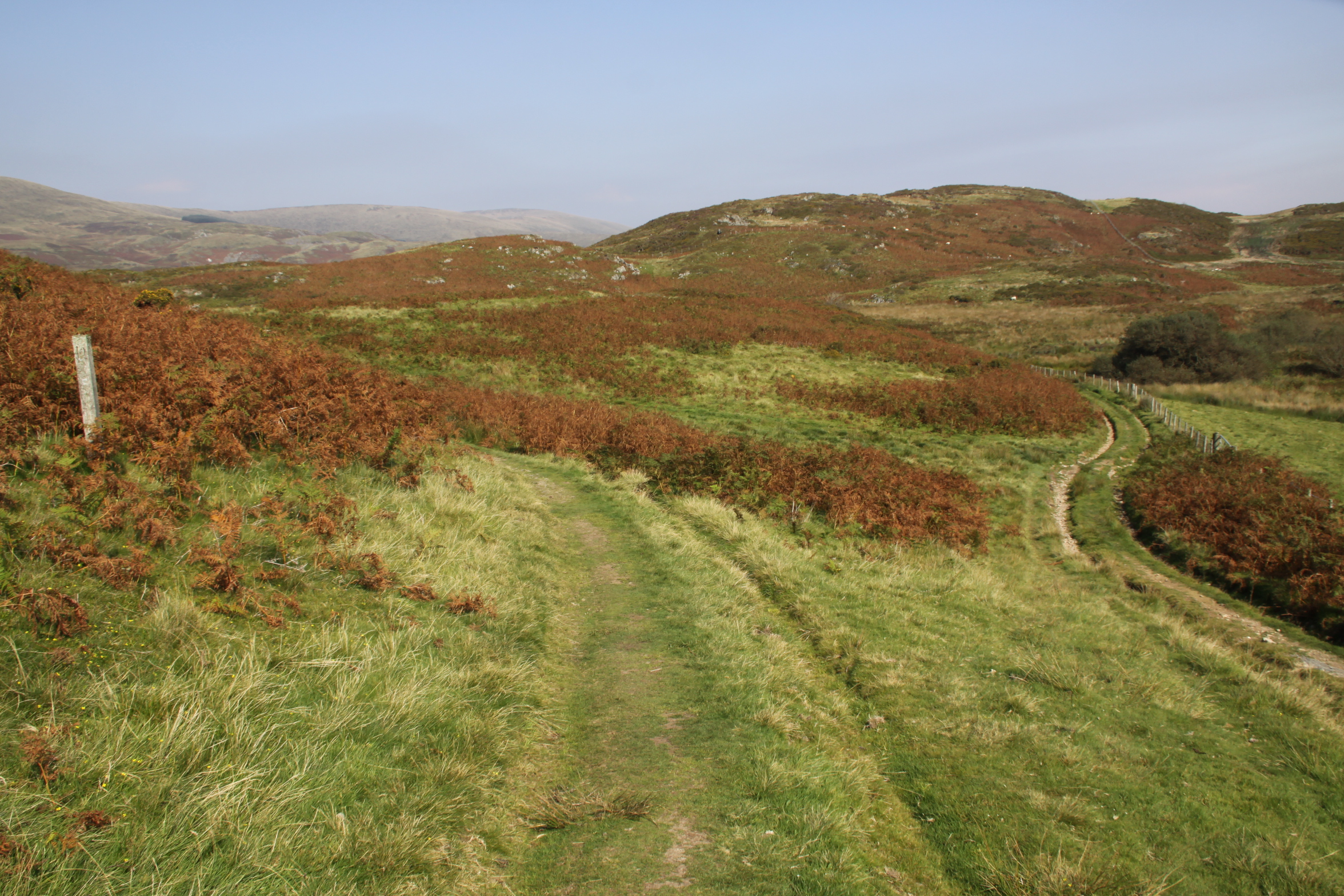
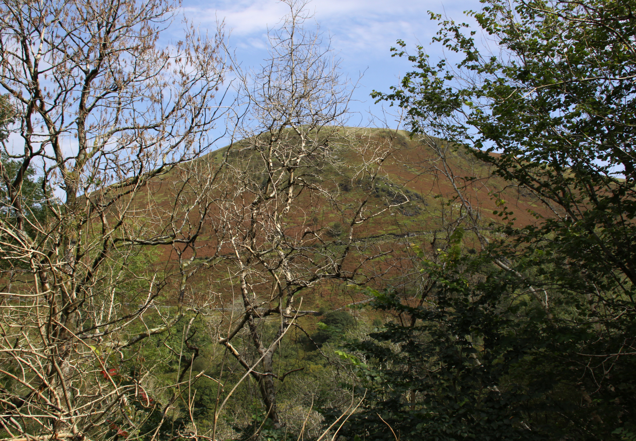
We walked past the footpath down into Happy Valley, which would have formed a circular walk, and headed instead for the views ahead, which offer an unexpected sight of the Dysynni valley.
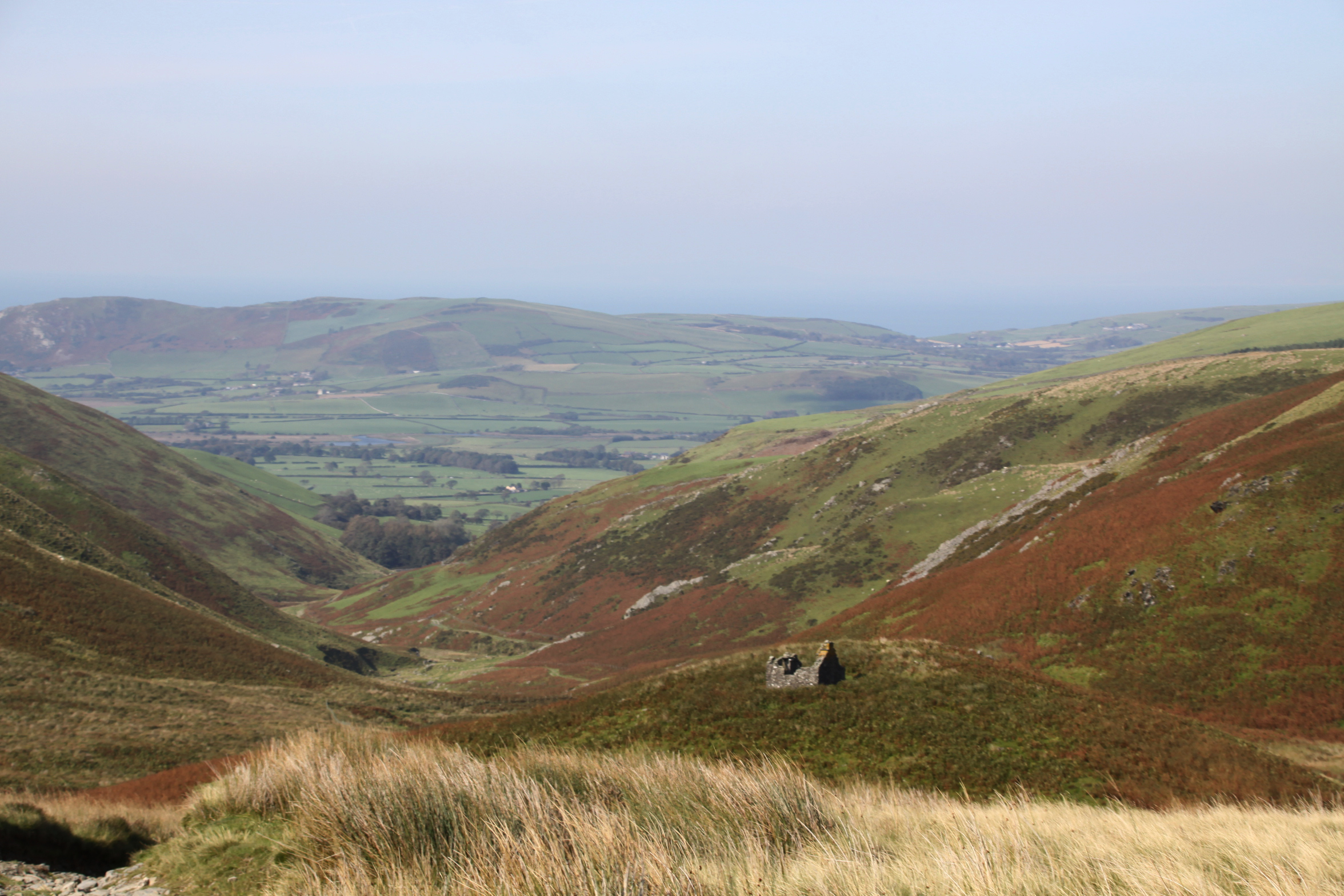

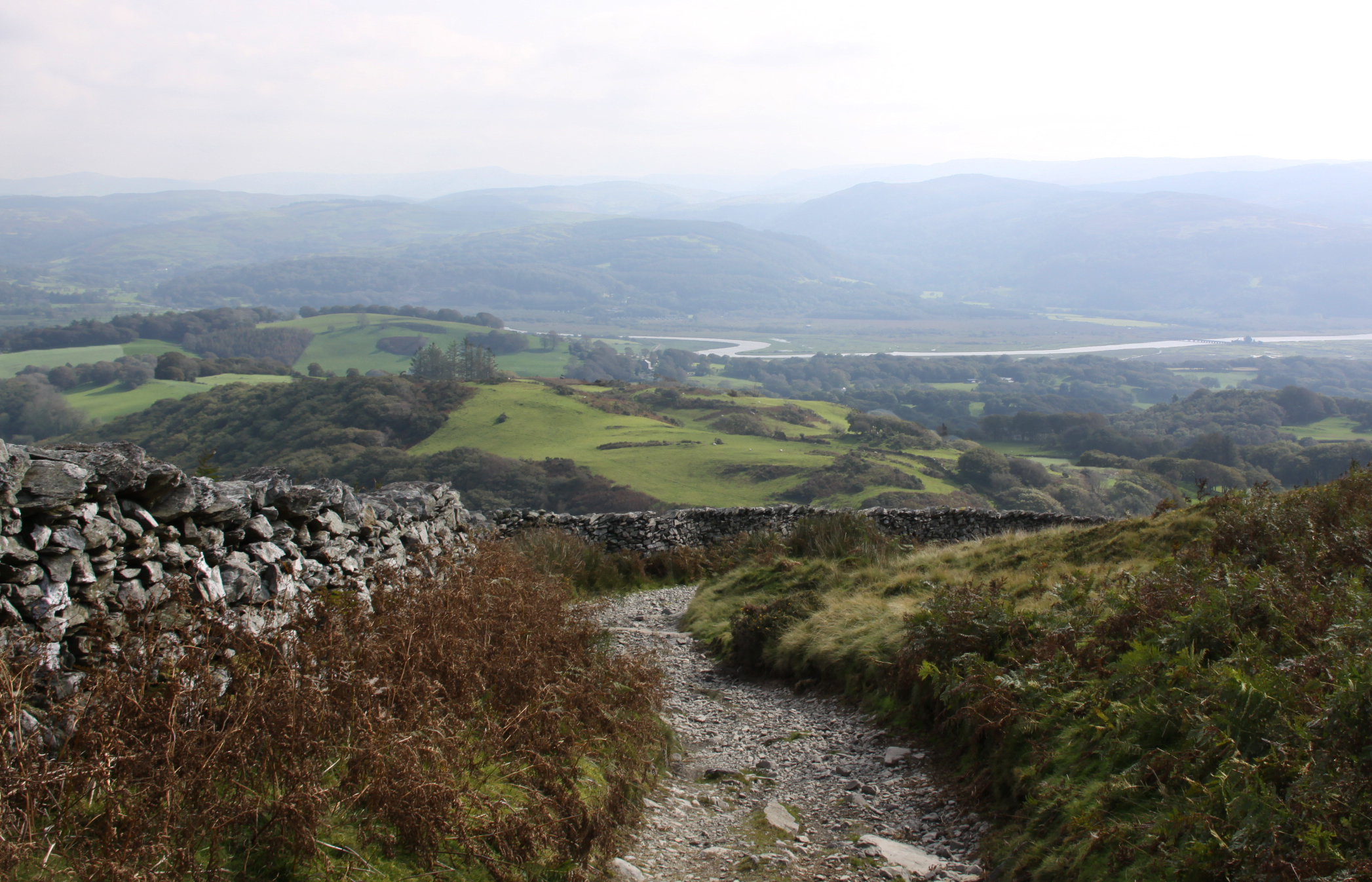
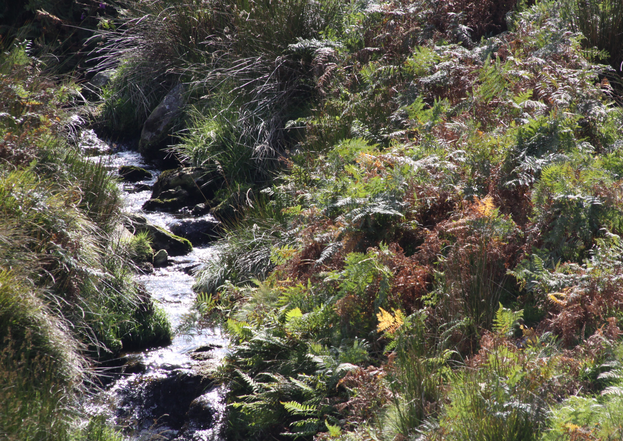
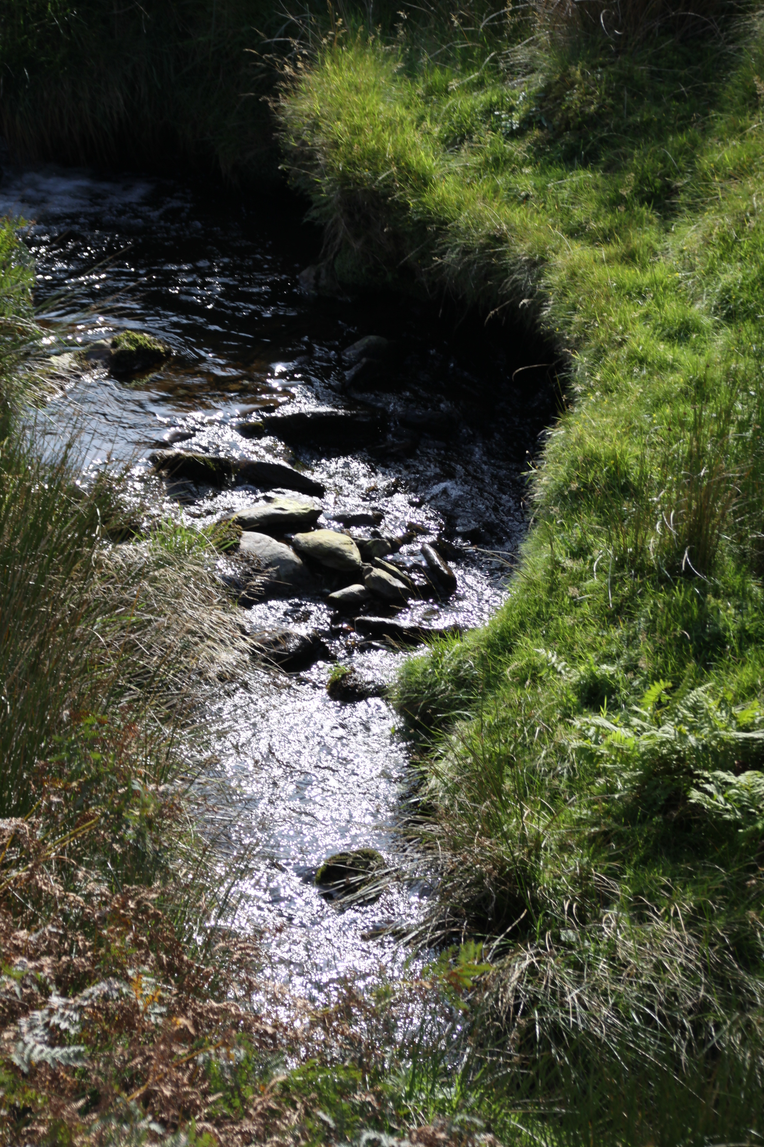
As it descends towards the Dysynni, the track meets the stream, Nant Braich-y-rhiw.
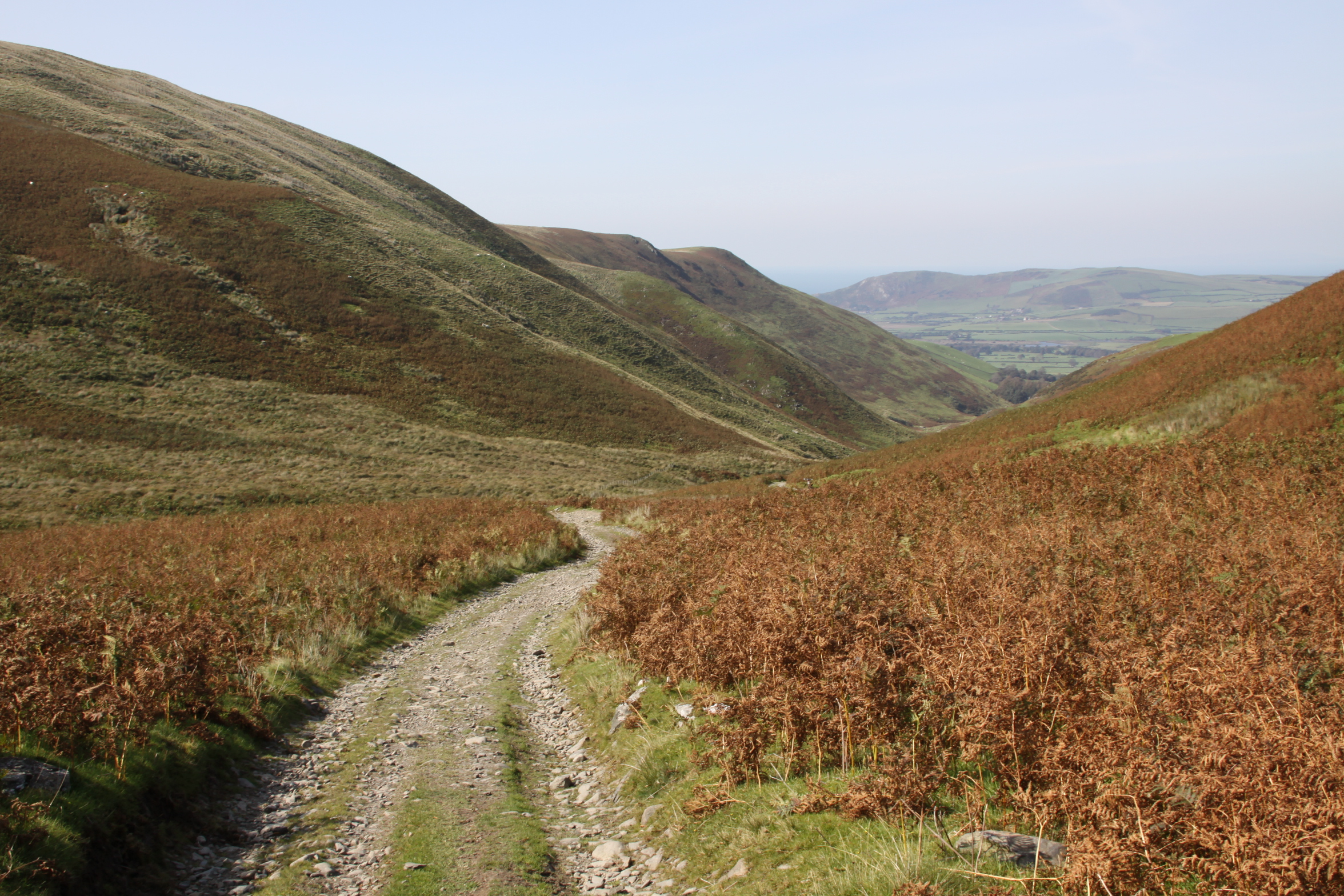
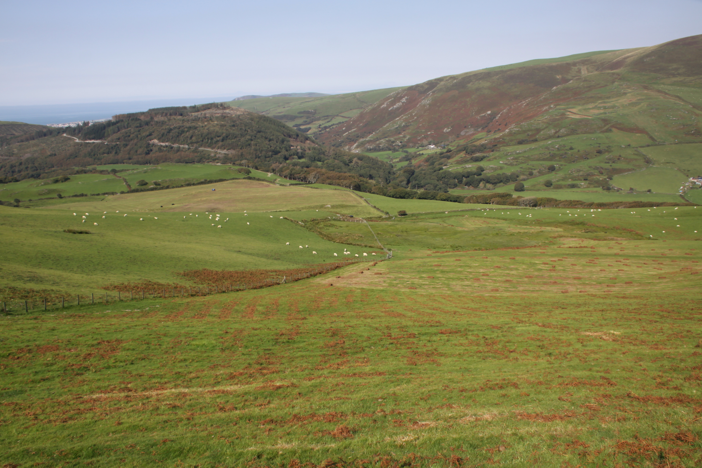
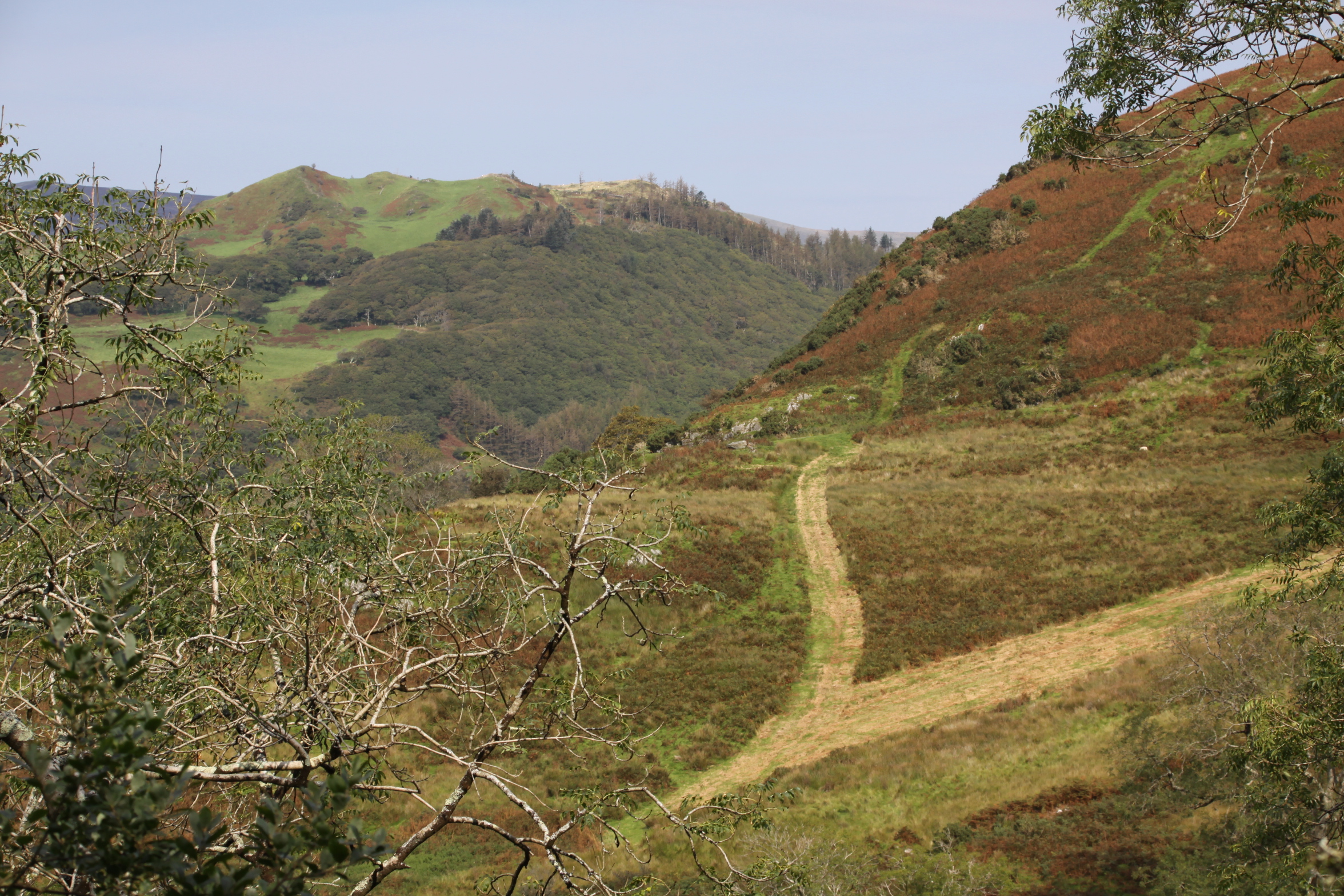
At this point, descending towards the Dysynni valley, we turned back towards the cars, but if you carry on you reach a single-track B-road that crosses the Talyllyn railway at Rhyd-yr-onen and finishes in Bryncrug. It was an equally beautiful walk on the return leg. I suppose it was about an hour and half in each direction, pausing to enjoy the views with a picnic.
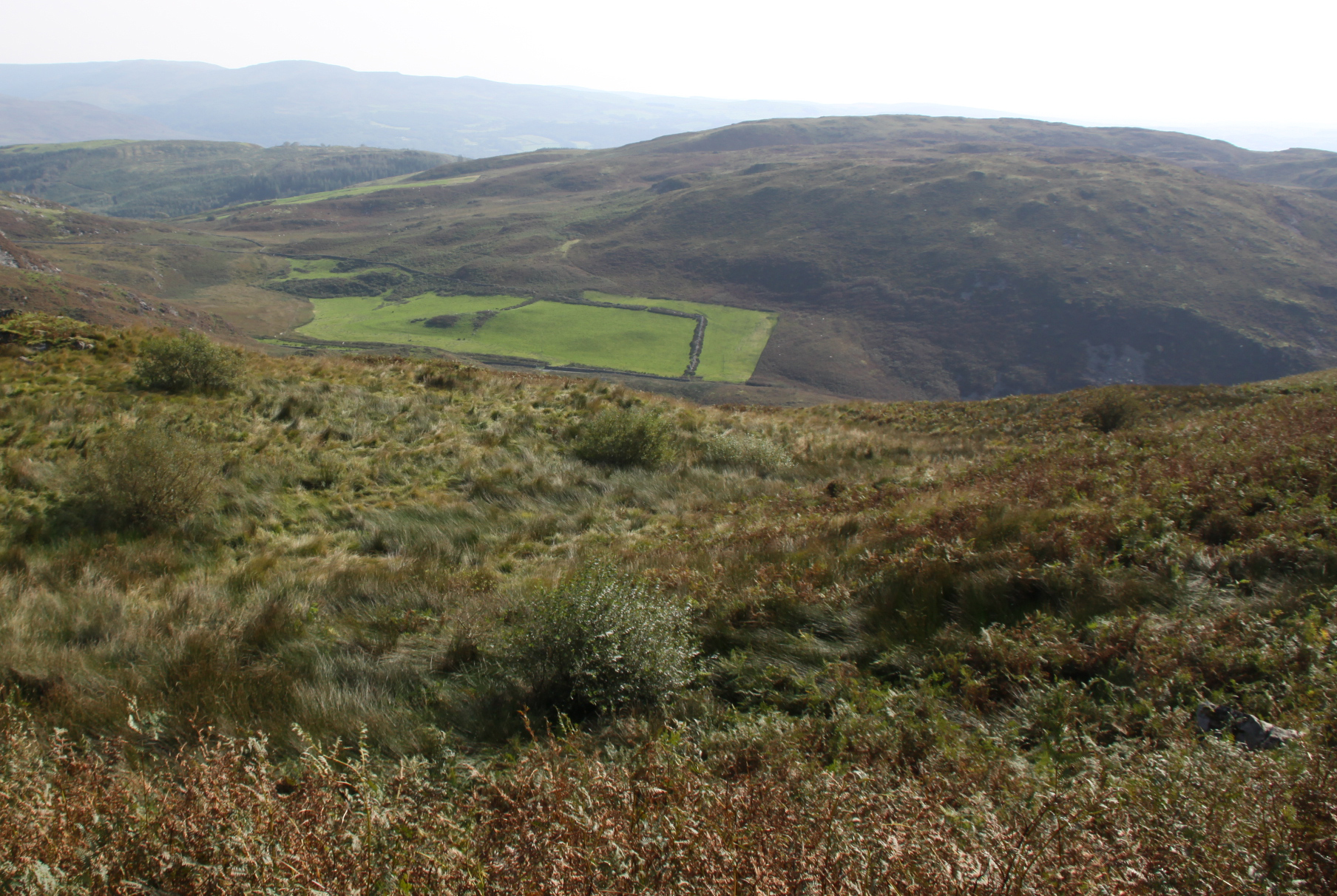

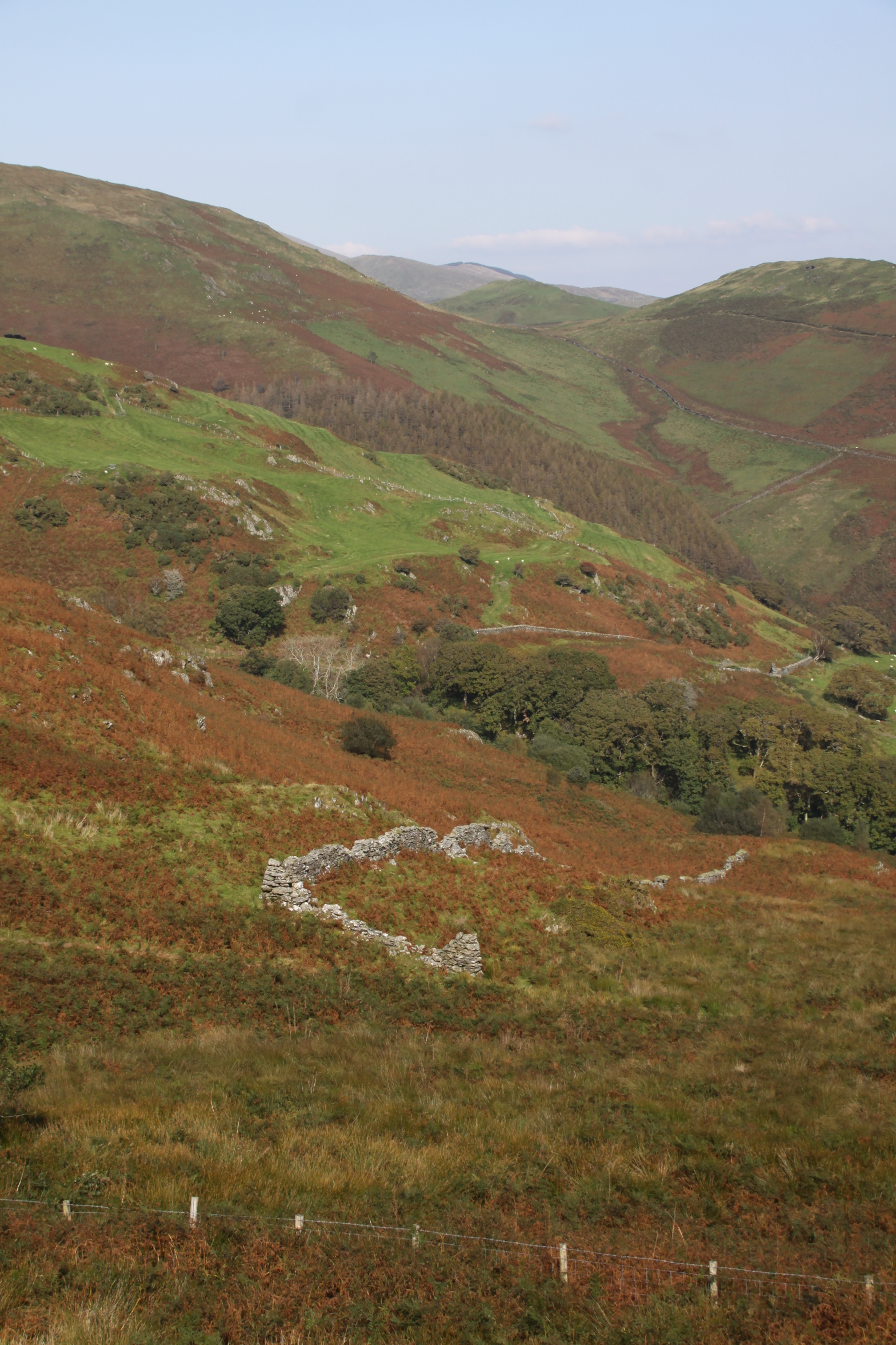


 It was supposed to be a hillfort visit, but I was fed up of driving to where I wanted to walk, so two weeks ago I did a route that I could do by leaving the house on foot, taking the Panorama walk to the lake and back again, which takes a route across the ridge. I had planned to take the longer route via Happy Valley, but was tired after an iffy night, so took the shorter route, which also allowed me to get a look at the rear end of Foel Caethle, a hillfort the lies between Tywyn and Aberdovey, from a slightly higher viewpoint than the peak of Caethle itself.
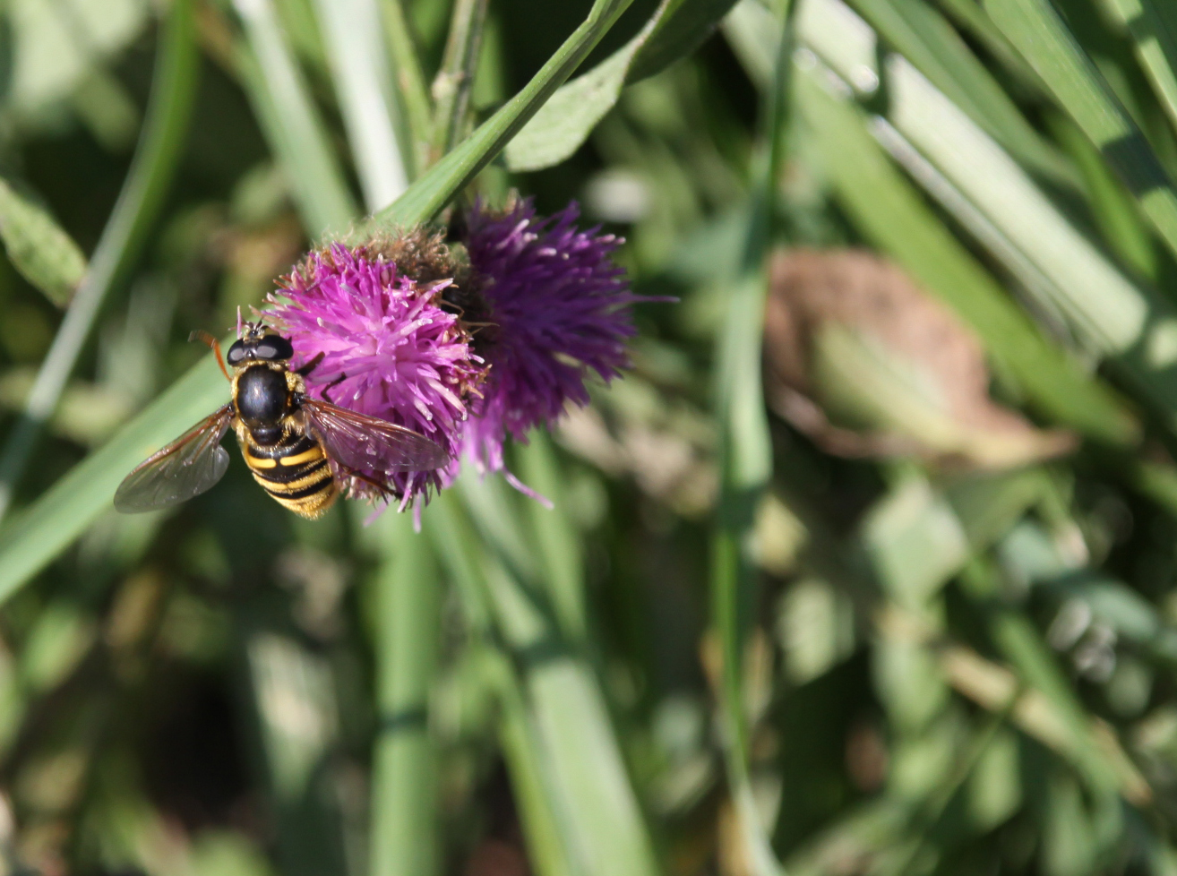
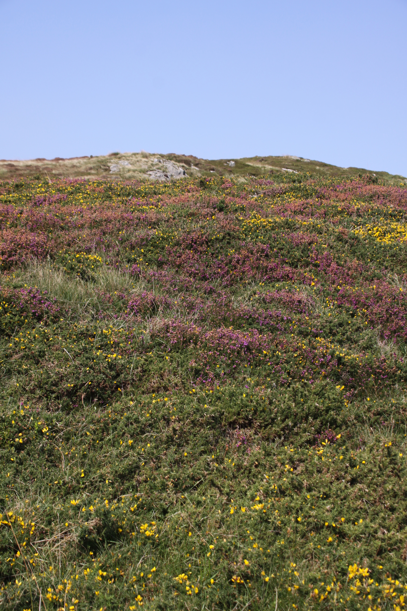
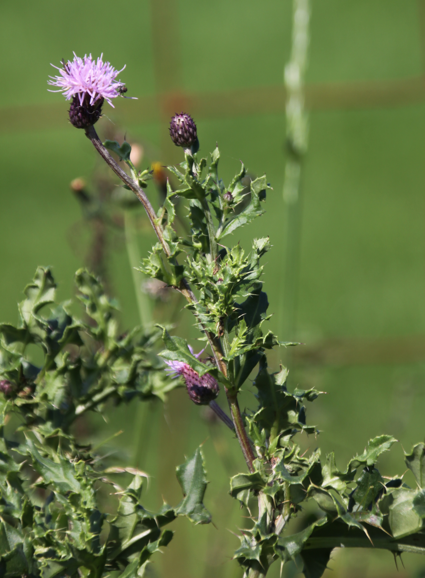
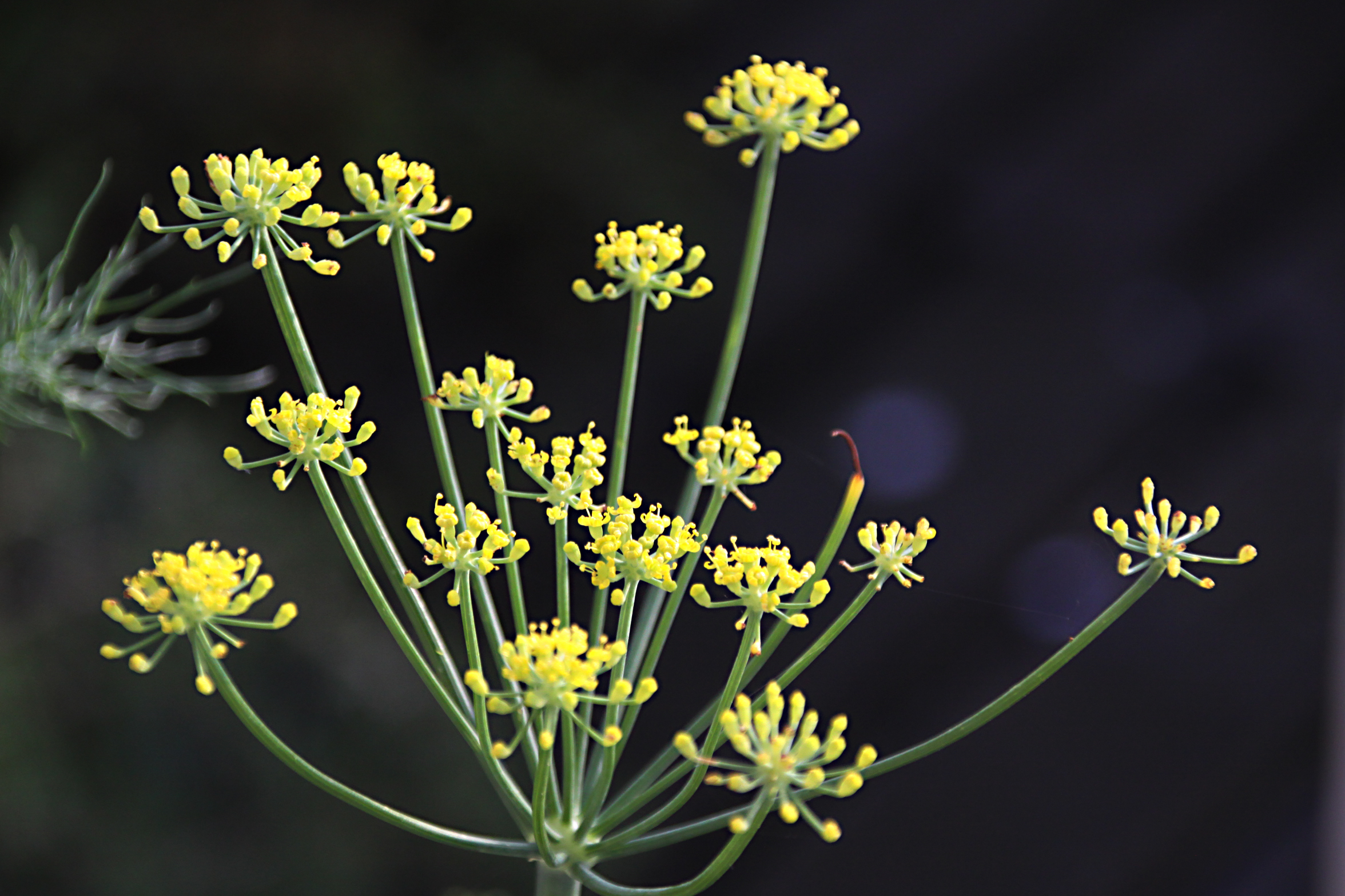
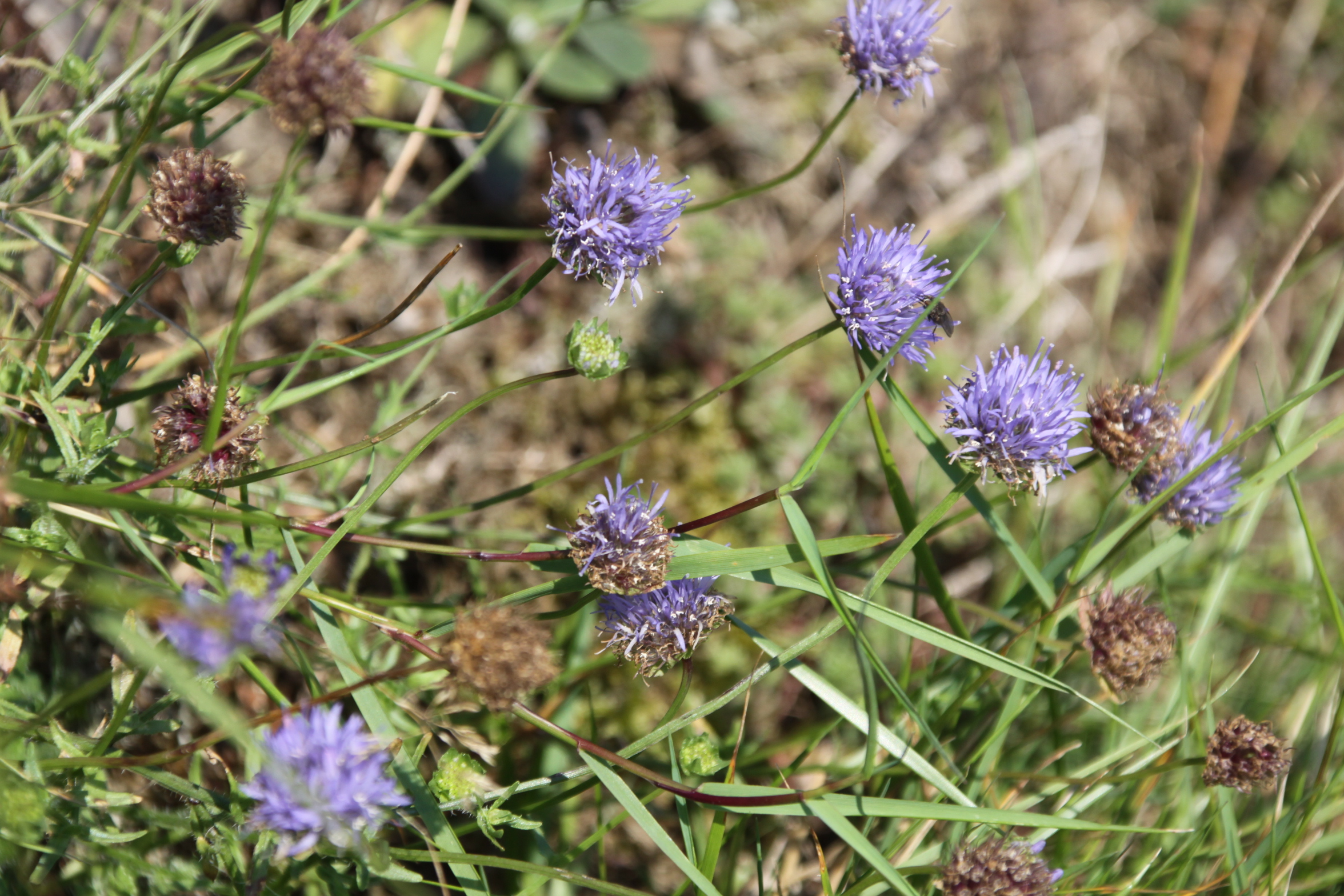 If you haven’t done it before, it’s super-easy to follow the Panorama on the Ordnance Survey map. You pass through a number of gates (five in total, I think, but more if you choose not to balance your way across cattle grids) so you will need to take hand gel and/or gloves. Just walk up Copper Hill Street from Chapel Square, and after about five minutes take the right turn into Mynydd Isaf, which is a development of 1960s bungalows. Follow this all the way to the top and at the crossroads go left. Keep an eye out in the verges too, for wild flowers and small butterflies. The harebells are particularly worth seeing – more prolific in August but with many still left in September. The tormentil is prolific at this time of year, and the last of the little cornflower-blue Sheep’s-bit are still around. There were lots of red admiral butterflies around, although none of them were obliging enough to settle to have their portraits taken.
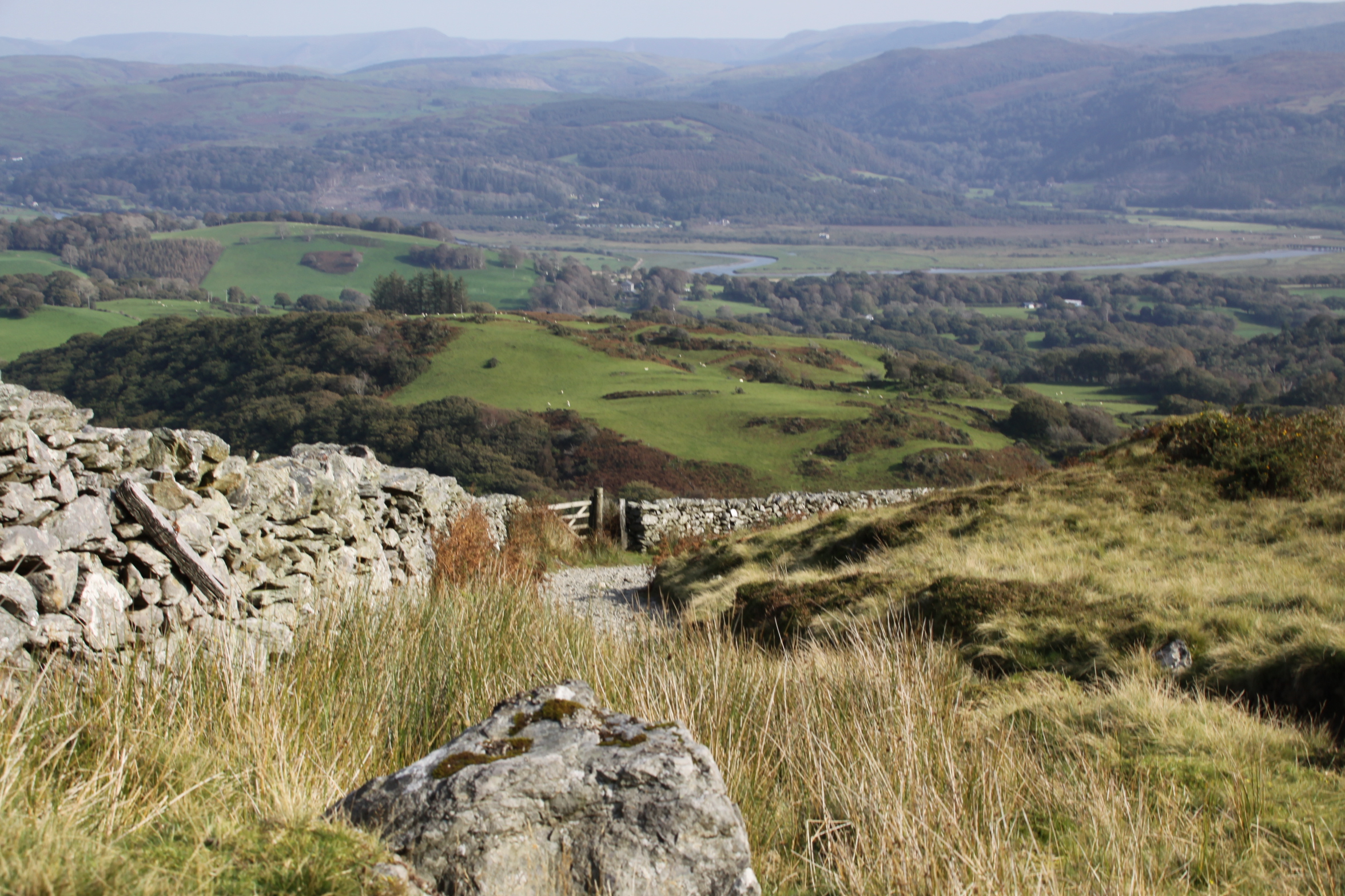
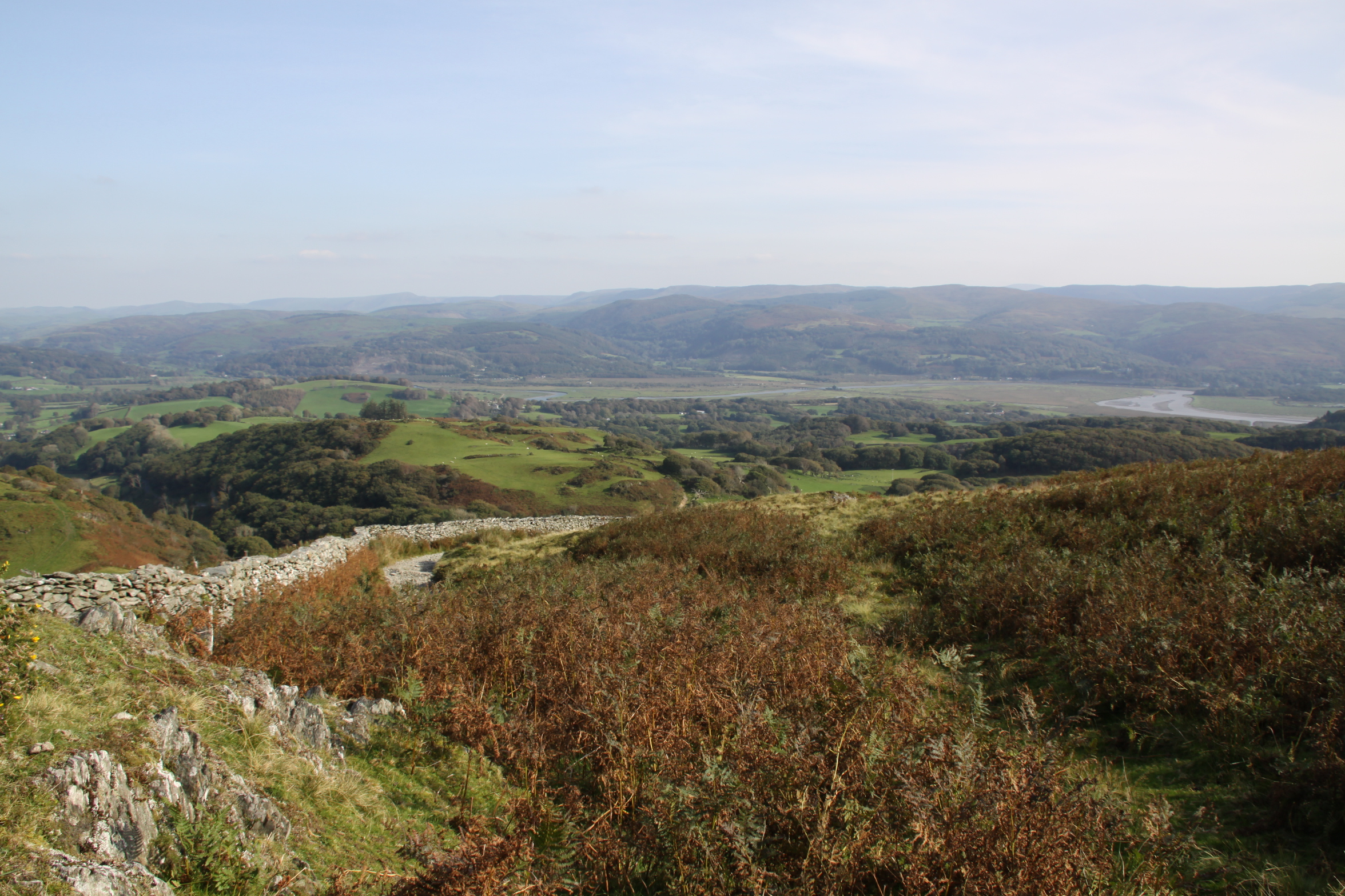
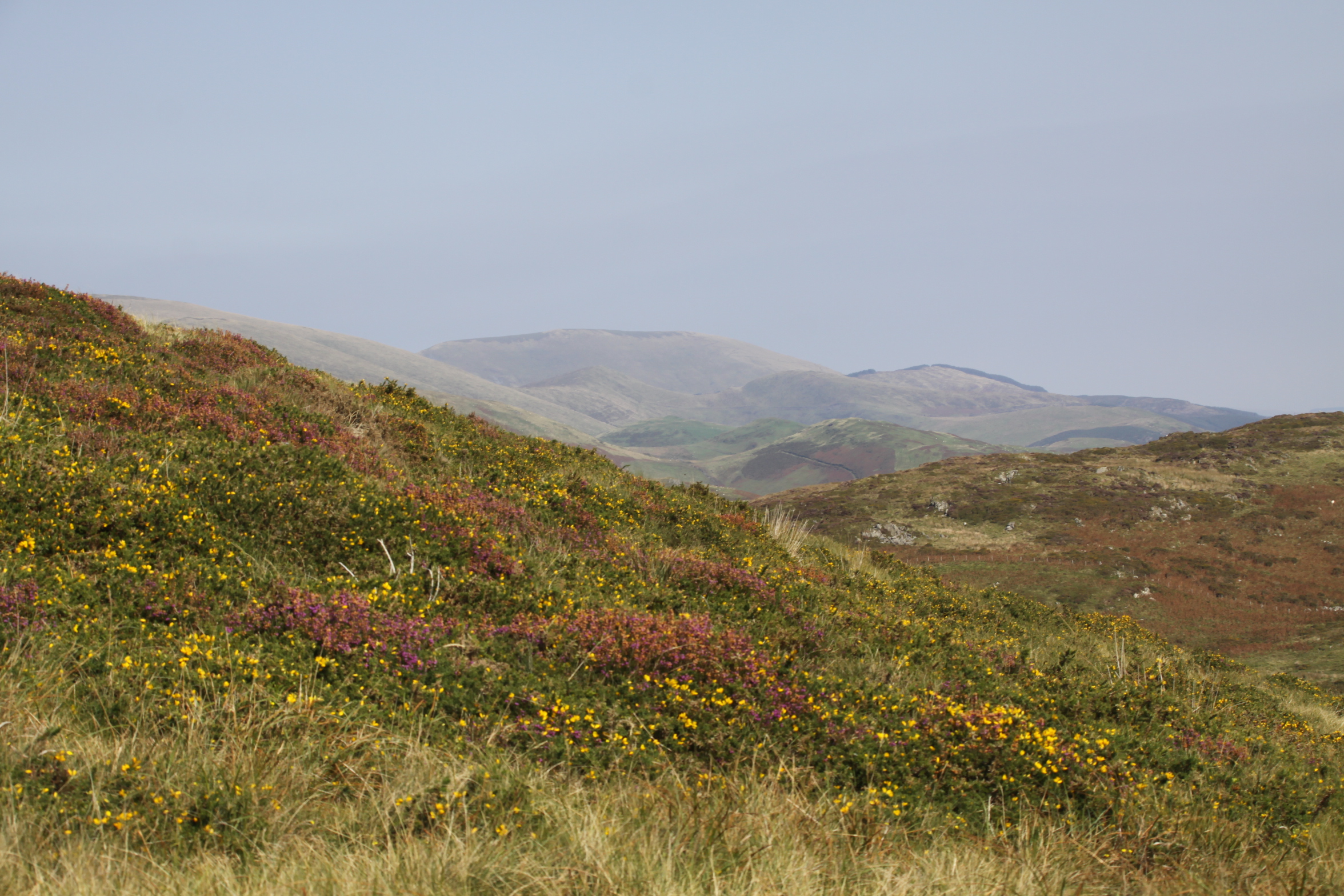
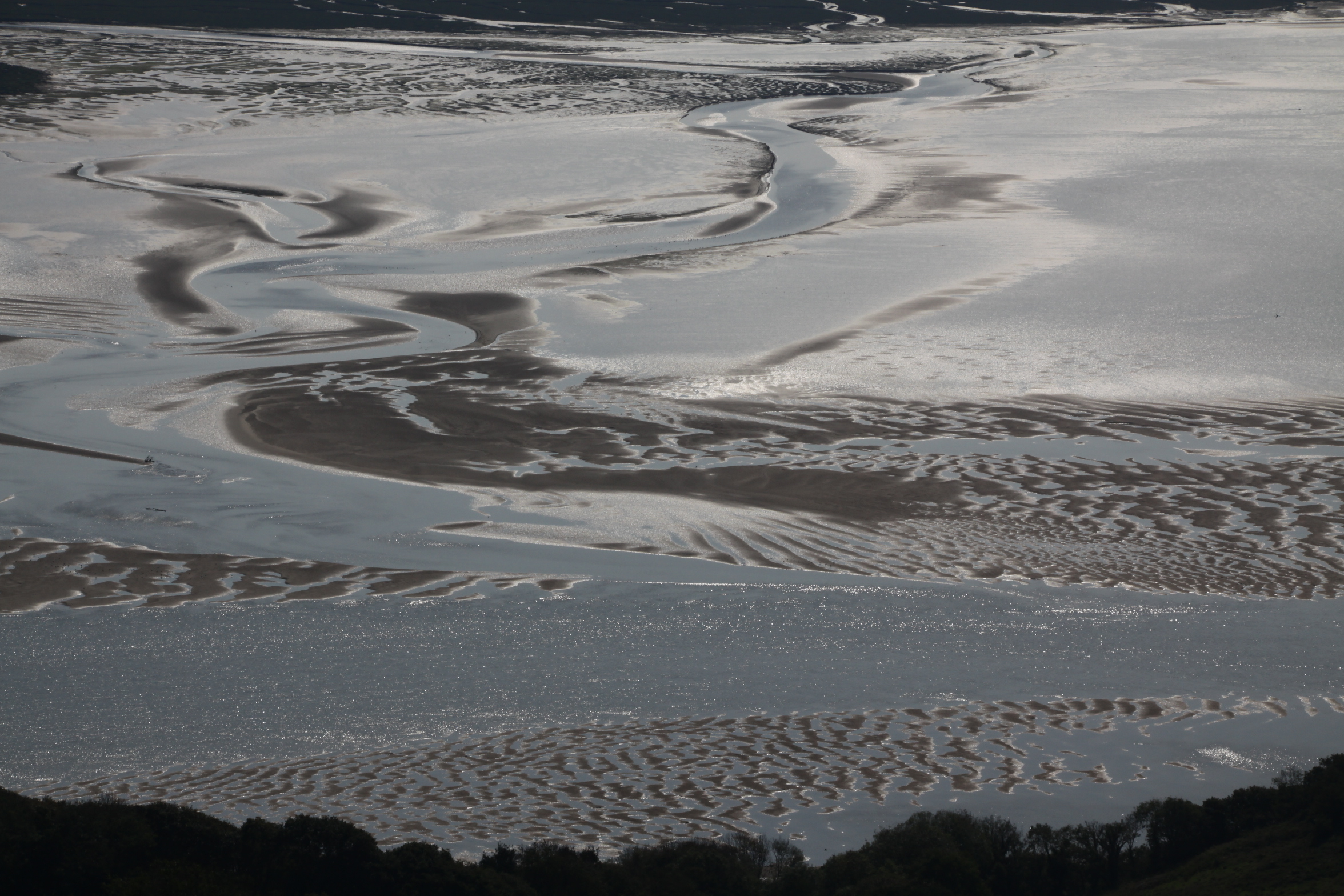
 This takes you uphill, and you are instantly in the countryside, passing a farm on your right, with views over Aberdovey to your left. Just keep walking, not forgetting to turn round and see the gorgeous views over the estuary as you go higher, until you reach a right turn, with the chalet park ahead of you. It’s about an hour and 15 minutes from here to the fork for Llyn Barfog (and the same on the return leg), with gorgeous views over Happy Valley and the hills to the left, and some views over the glistening estuary to the right, which looks completely different depending on whether the tide is in or out.
 The tarmac eventually runs out at the farm, at which point you pass through two gates and onto a deeply incised farm track with a drystone wall on your right and views now mainly over the estuary, with a slope of gorse and heather rising to your left.
You may want to pause and puzzle over Arthur’s Stone, marked with a dignified slate rectangle, a bit like a headstone, inscribed with the words Carn March Arthur (the stone of Arthur’s horse, which in some legends is called Llamrai). It has a role in the slaying of the story of the monster, called the afanc, that lived in the lake, which I’ve summarized below, and what you’re looking for is the hoof imprint of the horse of King Arthur. Good luck with that.
 Carrying on a short way downhill, with views over the hills ahead, an array of colours as they fade into the distance, you go through an open gate (shown right) and the footpath for Llyn Barfog is just on the left. It is easily missed – there is a wooden stake marking it (shown immediately below), but no signpost. It is, however, quite well worn so if you keep an eye open you should be okay. This takes you round the foot of a small hill rise and leads you directly to the lake, about a 10 minute walk. I sometimes follow the sheep tracks to the top of the rise instead and then make my own way down, because the view down onto the lake is great, but the going isn’t easy – the sheep tracks are very narrow and the surface all around consists of big, dense clumps of heather that are not easy to walk between.
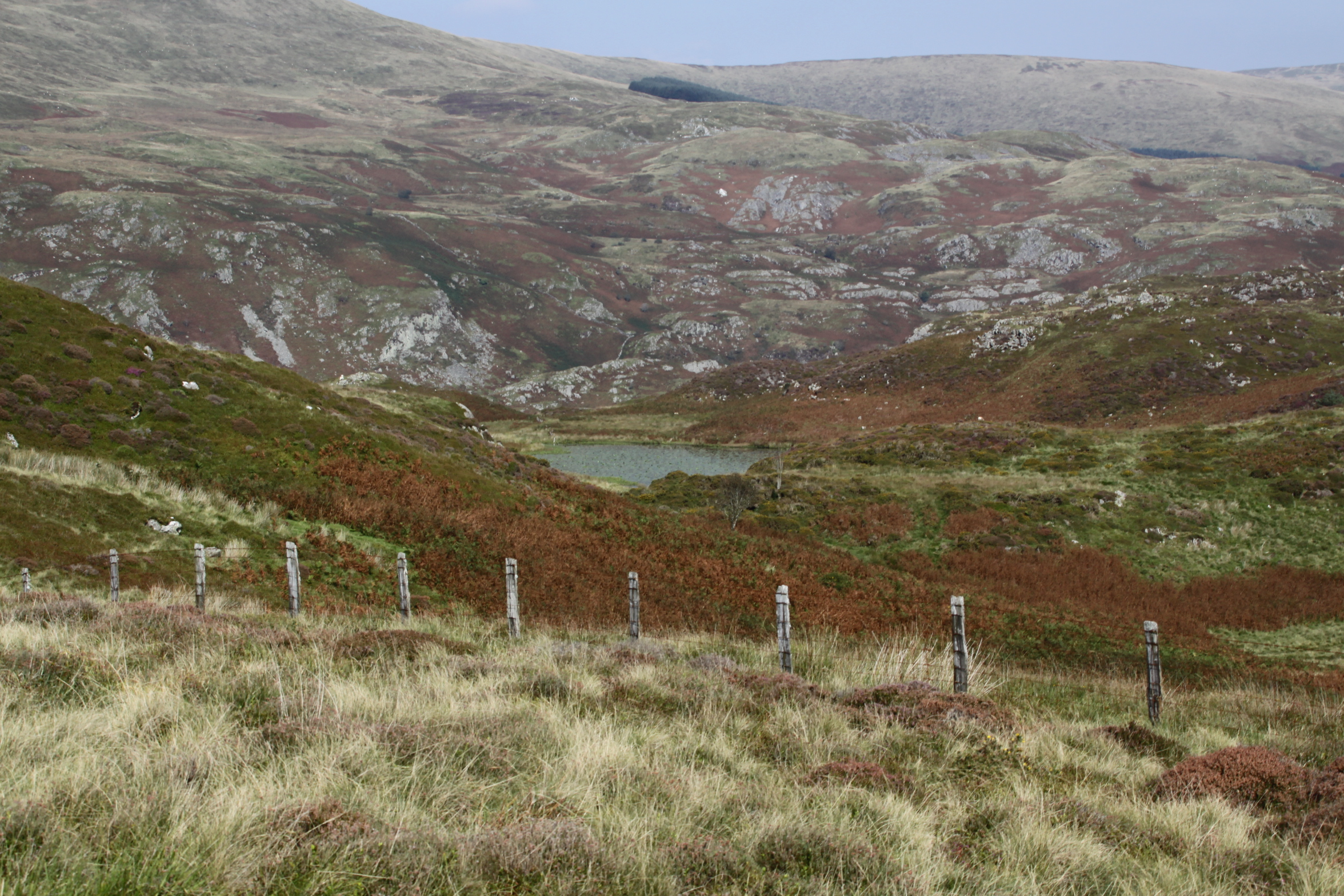
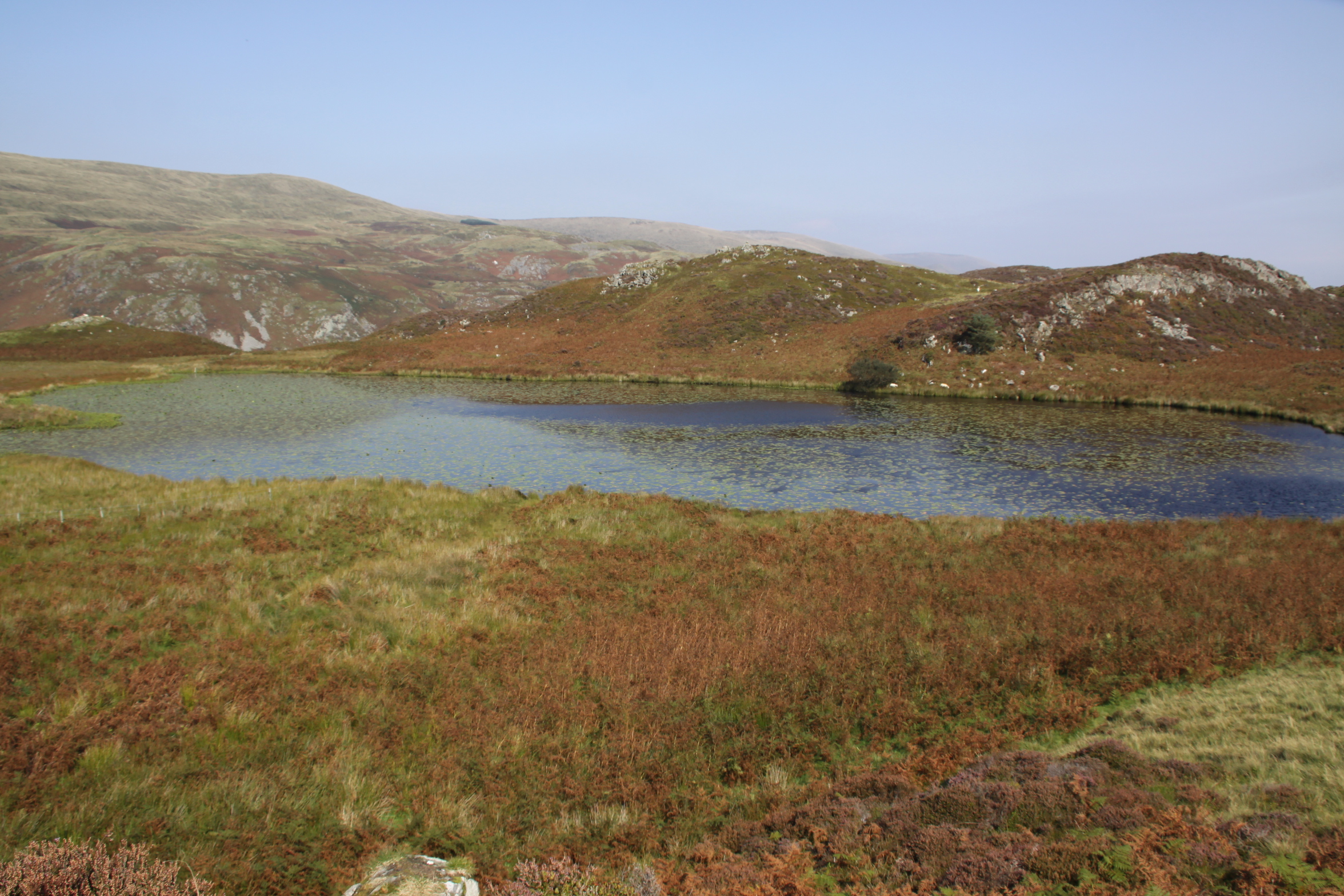
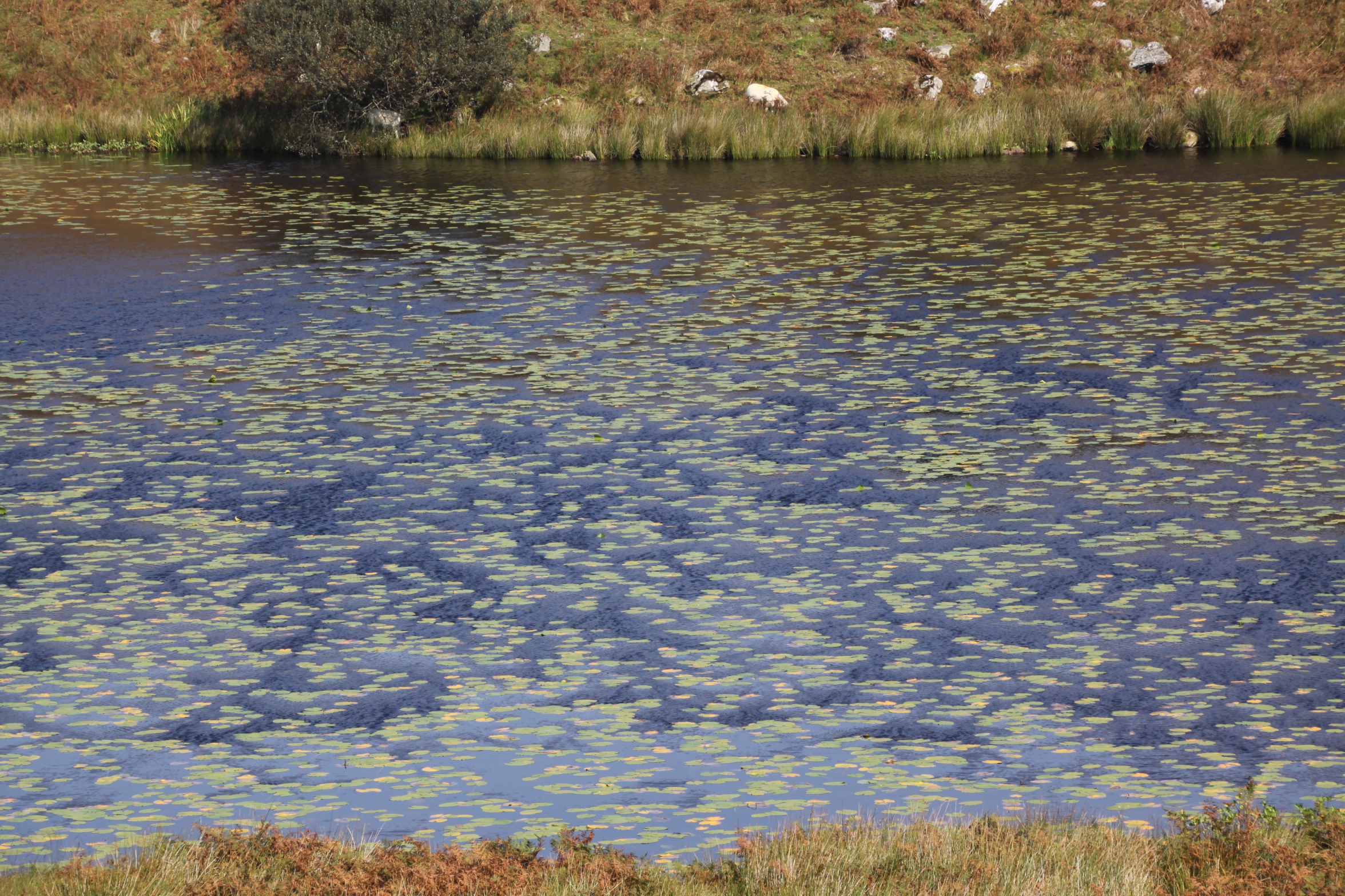
However you arrive at it, the lake always manages to be a bit of a surprise, so high up and so intensely blue. Each time I visit, I half expect it to have vanished. I’ve sadly never managed to catch it when the water lilies and other water flowers are in bloom, but today the lily pads were deeply green against the blue water and gave it a rather exotic feel, and the water glowed and sparkled in the sunlight. I sat on a handy outcrop of quartzite for a while to enjoy the views and the silence.
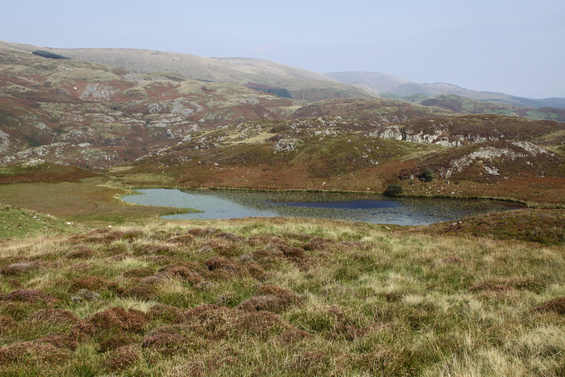 The name “bearded” is thought to relate to the vegetation around its edges. Unlike Arthur’s horse’s stone, one really could imagine this being a source of myth and legend, and indeed, there are at least two. One concerns the water monster known as the afanc, which is associated with other lakes too, a legend that eventually had an Arthurian spin on it. Here’s the main thrust of it. The afanc was the cause of flooding and other damage to good land. In some versions he lives in a cave and slays three princes a day who come to kill him, but they are resurrected, and the cycle repeats. In the case of Llyn Barfog, the afanc must be lured from the water by a heroic figure who will finish him off, and this hero eventually becomes Arthur. Arthur and his horse pull the monster from the lake, finishing it off, and one of the horse’s hooves leaves its imprint in the Carn March Arthur. See more on the Coflein website, where you can read a Llyn Barfog legend of green-clad fairies, two cows in love and a greedy farmer.
The return trip is just as good. The wind had got up a bit, so it was nowhere near as hot. On the entire walk I saw only six people, three separate couples. That surprised me,because at this time of year it is usually quite popular with walkers.
At about 1730 last night a mixture of sun picking out the bright green on the ground, and the very dark clouds above creating some rather spectacular lighting over Ynyslas and the estuary. The view from my living room changes daily, the light always different.
I decided that in mid September’s brief spell of stunning weather, the season’s probable last gasp, I would make it into a bit of a holiday and do some walks that I’ve either really wanted to do for the first time, or revisit some that I haven’t done in years. This falls into the latter category. I haven’t visited the Dolgoch Falls in over ten years.

Dolgoch on January 2nd 2010
That last Dolgoch visit was certainly a mistake. On 2nd January 2010 my father and I agreed that we fancied walking the full Dolgoch circuit. We had woken to find that the garden was covered in a blanket of snow, of which I still have photographs, but there was a beautiful cold winter sun and lovely blue skies. In spite of the sun I have no idea what we were thinking. When we arrived at Dolgoch, the car park was completely empty. Not only was everything smothered in snow but there were random sheets of black ice as well. We should have turned around at that point, but we didn’t. It was absolutely hair-raising underfoot, but it was also remarkably beautiful. Infuriatingly, we had done the entire walk without mishap and were just a minute or so short of the gate to the car park, which was in sight, when my father slipped on wet leaves lying over the path’s slate border and broke his ankle. I have not been consciously avoiding Dolgoch as a result of that day, but somehow a favourite walk has been neglected for over a decade.
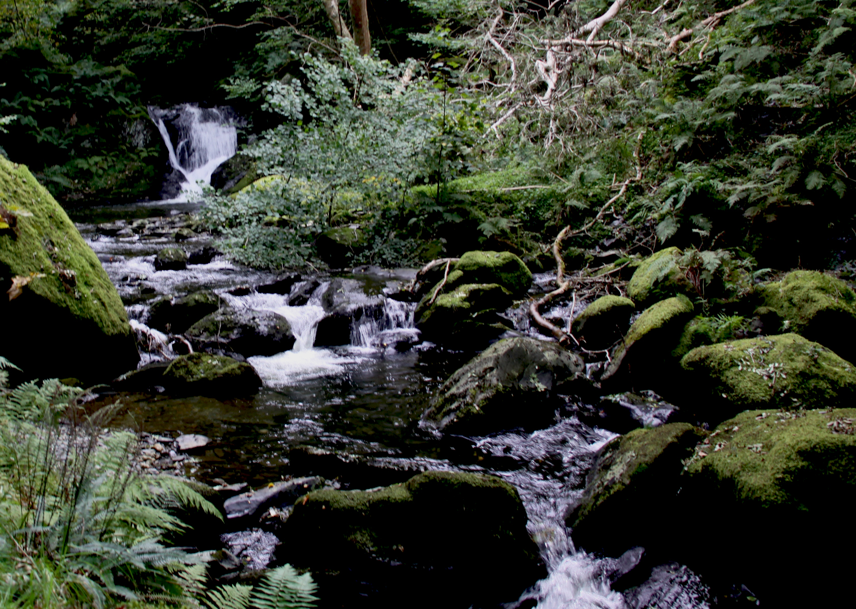
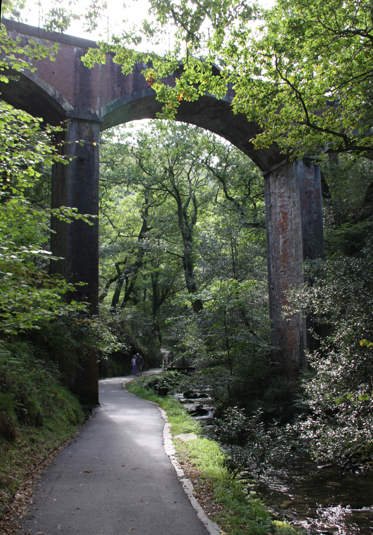
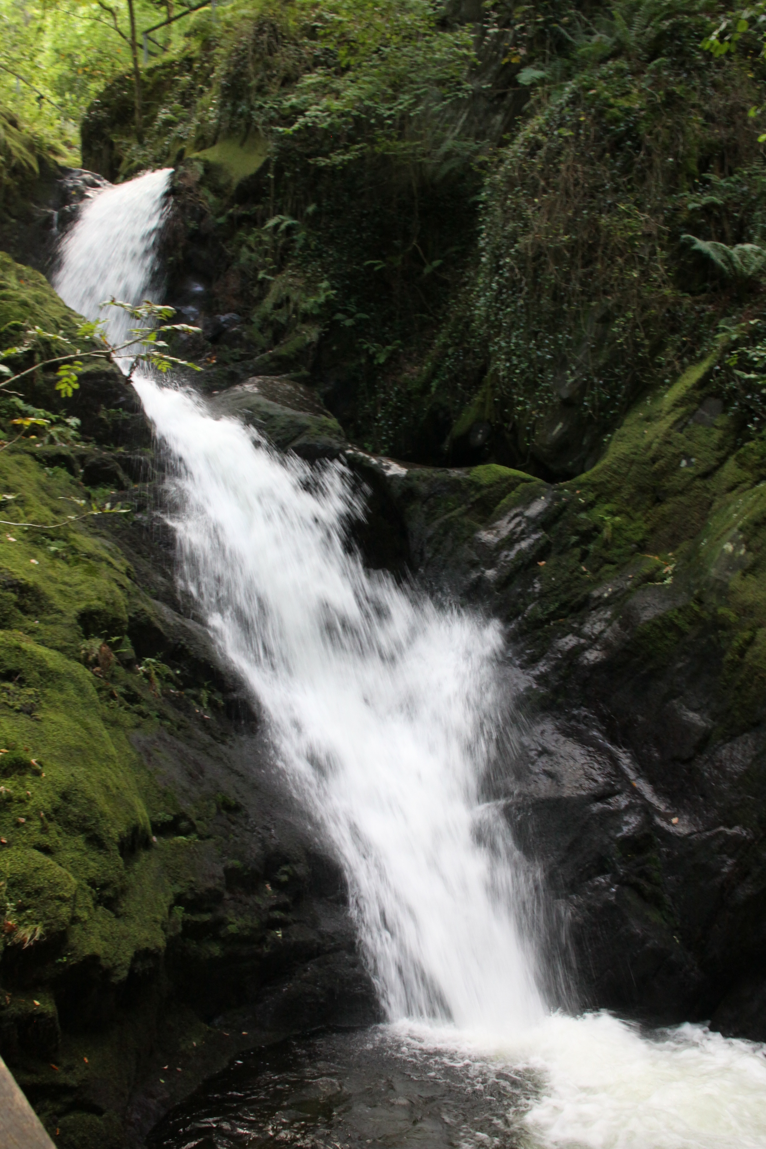 People go to Dolgoch to enjoy the fabulous tall, slender waterfalls, the churning rocky rapids and the fast shallows over water-rounded pebbles, and that’s why I was there too. It is very accessible in terms of transportation. There is a bus stop at the car park entrance, a large car park (with a pay and display machine), and the Dolgoch halt of the Tal y Llyn steam railway. I drove there along the B4405 from Bryncrug, but perhaps the most popular and novel way to get there is on the super Tal y Llyn steam railway, which runs out of Tywyn (timetables and Covid 19 info are on the railway’s website). The railway viaduct crosses the river at the bottom of the falls, worth a visit in its own right, and the railway stop is just on the other side of the viaduct. If you’ve never been on the Tal y Llyn railway before, the train ride and the walk are a perfect combination that I’ve done many times over the decades in both rain and shine (I had a less girlie attitude to the rain when I was young). There’s a café just beyond the car park on the path towards the falls. If you are driving there’s also the possibility of a beer, a cream tea or lunch at one of the two lakeside hotels at the stunning Tal y Llyn lake, depending on the time of year and whatever Covid 19 measures are in place (turn right out of the Dolgoch car park and drive for about 10 minutes until you see the lake – both hotels are at the Dolgoch end of it).
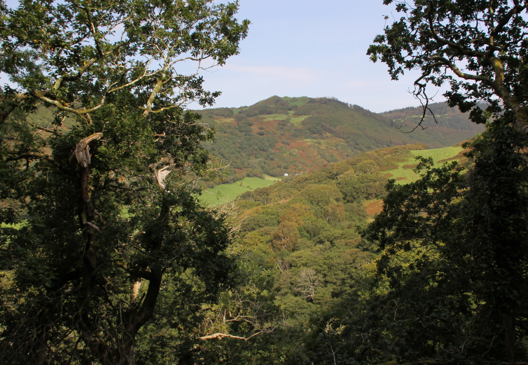
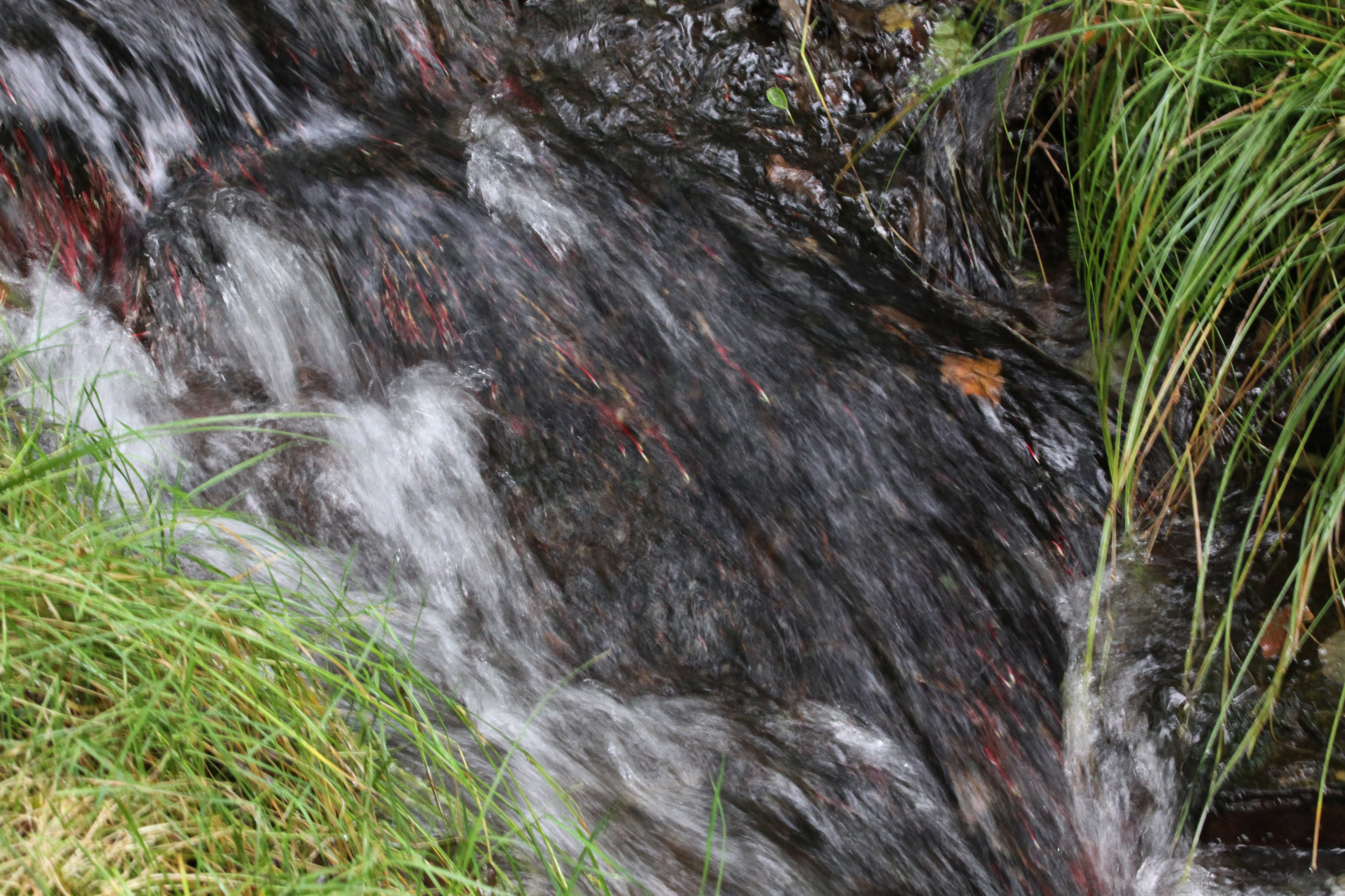
 I was lucky with the weather. I arrived at 11am in full sunshine, the car park was fairly empty, and it looked as though the day was going to heat up quickly. I love the heat, so that’s never a problem, but for anyone who prefers a bit of cool, this is the perfect walk on a hot or stuffy day. The valley is very steep, and its slopes are covered in trees, the sky only properly visible when you get onto the highest reaches of the walk, with hilltops flanking you. Even on a seriously sunny summer day this means that dappled light trickles through the leaves and does wonderful things to the water, but it remains a very pleasant temperature. Everything is vibrantly, richly green, apparently a form of heaven for botanists who specialize in plants that thrive on a combination of shade, cool conditions and humidity. The sound of the falls is ever-present, delicious, sometimes crashing and sometimes burbling.
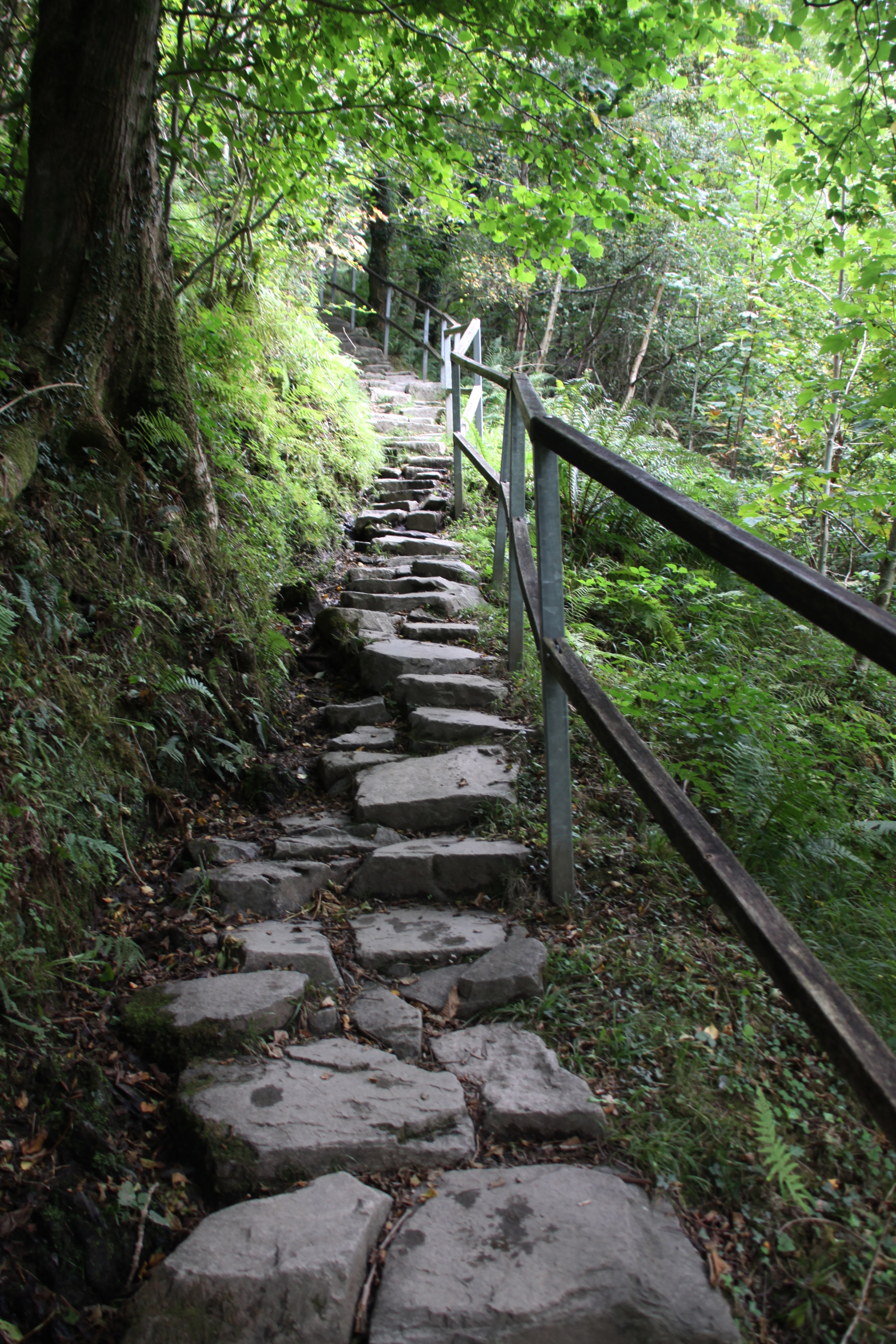
 There are two sets of walks possible. The first is the short circuit that crosses the lowest and arguably the most dramatic set of the falls and has a number of short side-trails to viewing platforms over them. The second is the main circuit that takes a couple of hours to complete, and heads near to the top of the hill before descending again to the level of the river, with crossings of various parts of the falls all along. The steep sections of the path are all beautifully done, the surface reinforced with huge bits of stone to form stairways, and stretches of stone pathway and, where needed, paths and steps are supplied with long sets of railings. With Covid in mind, do take hand gel or wear disposable gloves, because you will need to use the railings to secure your footing (it’s damp and a bit slippery at most times of year), and you really don’t want to take any risks that Covid might be lurking on the hand rails.
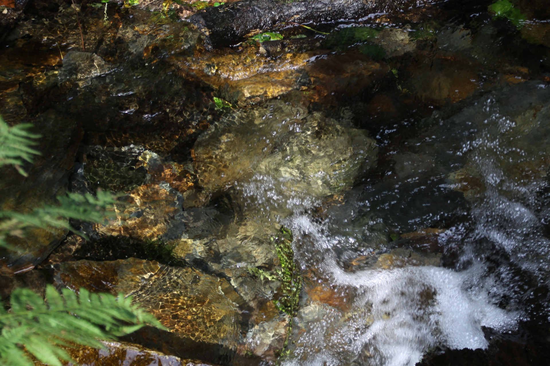
For those of you also thinking of revisiting after a long time, there used to be a secondary route that took in some of the Dolgoch slate works on the western side of the river, starting beyond the picnic area, but although the picnic area is still there (and being used with enthusiasm) the path beyond is now sadly closed to the public, with a No Entry sign in place. The path was quite high and narrow, next to a steep drop, and has presumably become unstable over the years. The picnic area is a particularly pretty spot, with a run of rushing low falls cascading into a shallow, wider area of river surrounded by wide flat rocks, funneling into a narrower section of stream over small, oval pebbles and gravel, a riot of sounds.
 The lower sections of the falls were fairly busy. The Tal y Llyn steam train had arrived a little time before, and there were a few groups of people taking photos from the viewing platforms, but beyond these I had the long circuit to myself. I didn’t see another person until I descended once again to the lower levels. Bliss. The higher you go, the further you go from the falls, but you can hear them clearly, a delicious sound as you walk through the dense greenery, emerging at treetop level with views across the hilltops.


Descending once again, the sound of the falls comes nearer all the time, and eventually you are back at the level of the river and the rapids.
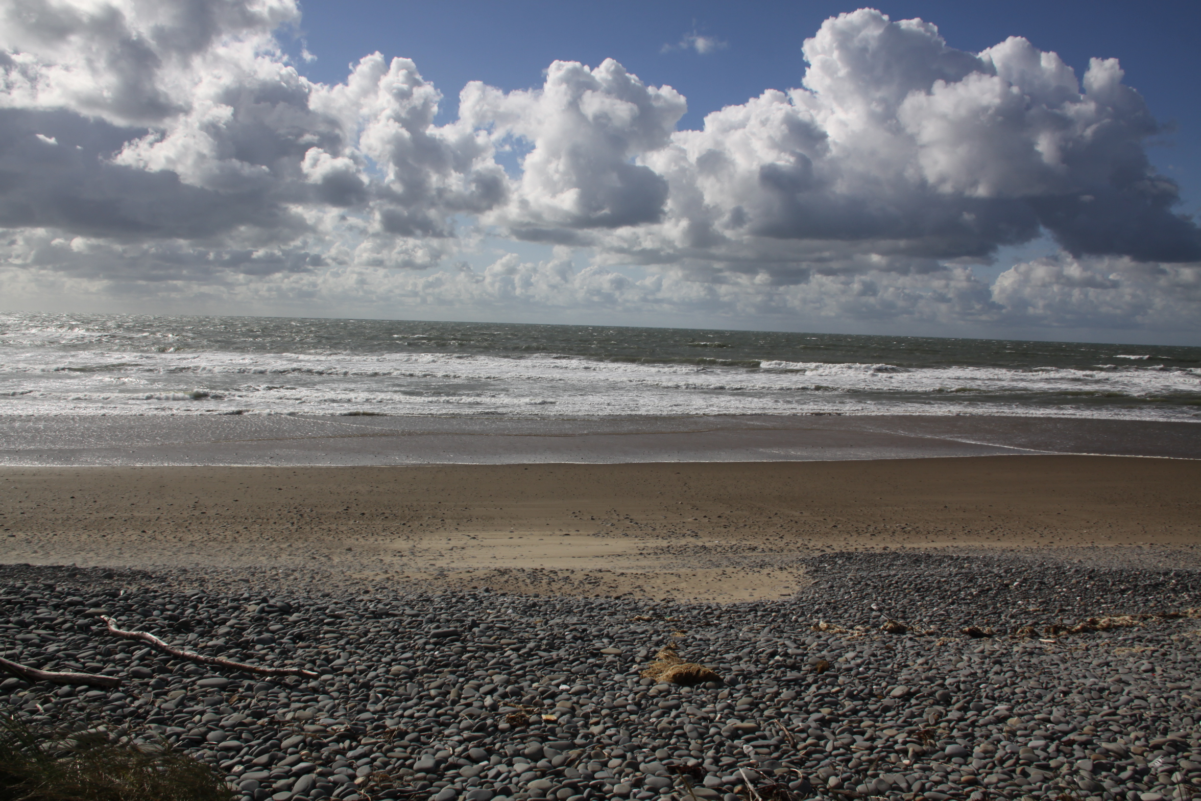
This was only two weeks ago. the clouds had formed themselves into a thin veil when I emerged from the woodland, and the sky still quite bright but no longer blue. I had been planning a swim, but with the clouds hiding the sun the temperature began to drop, so I went for a short stroll along the beach instead. It’s a remarkable thought, finishing off this post on 3rd October, with the rain slamming down, that this walk was only two weeks ago! The thought of contemplating a swim now makes my hair stand on end!
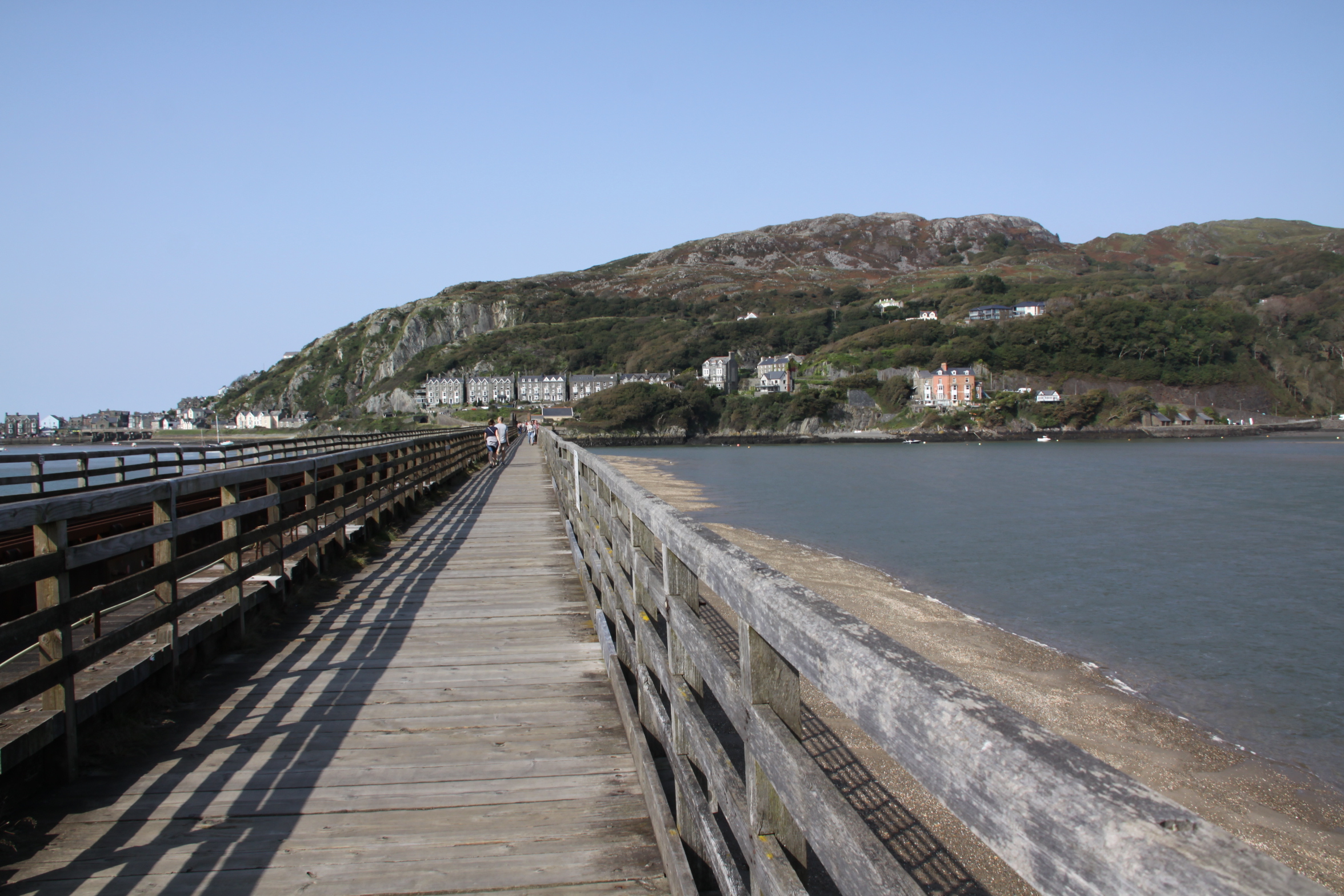
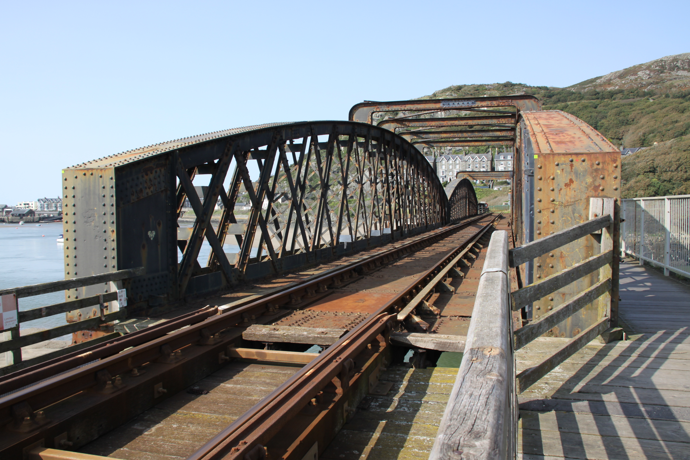
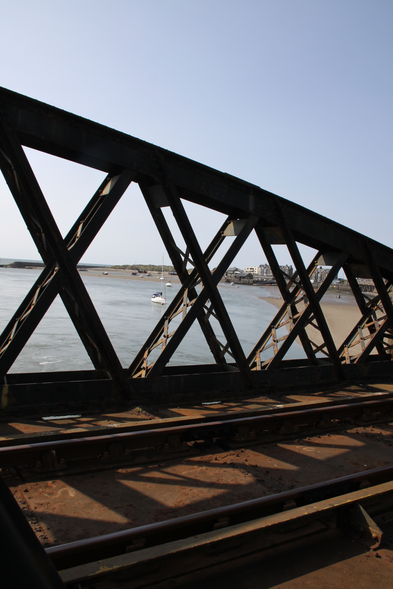
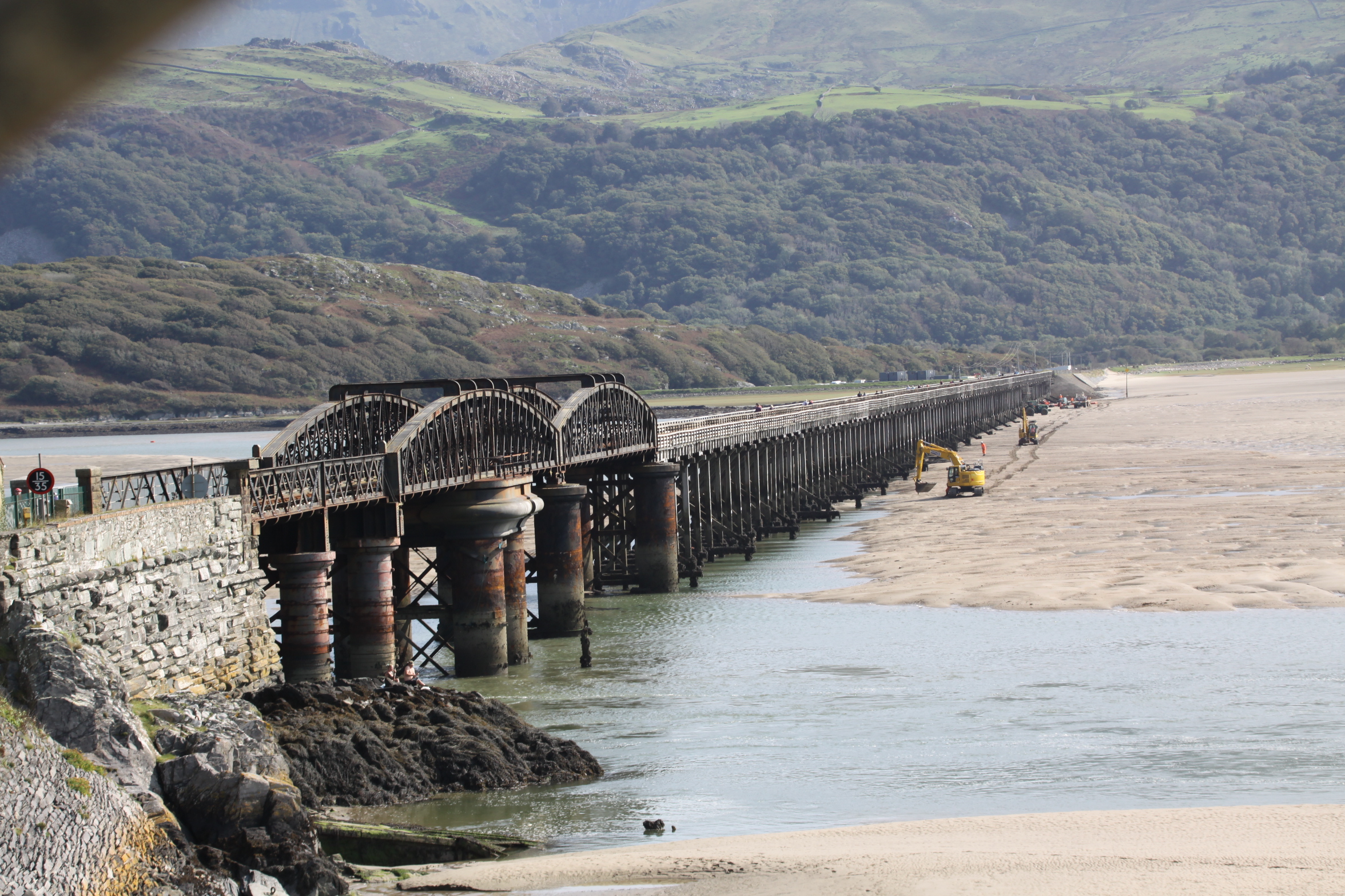
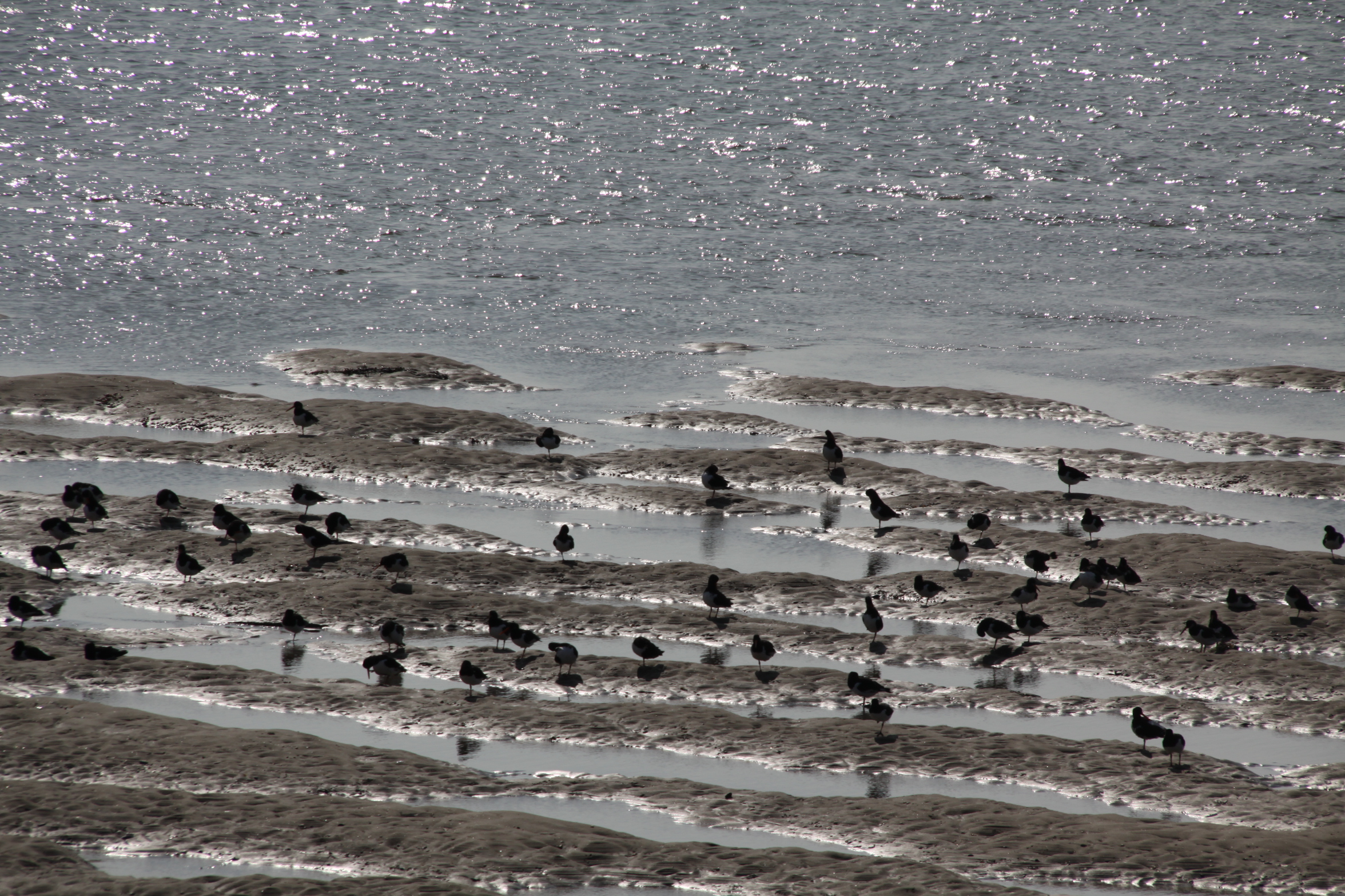
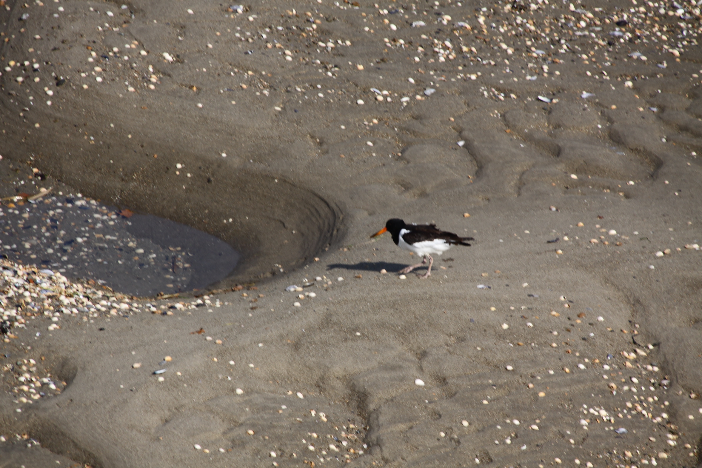
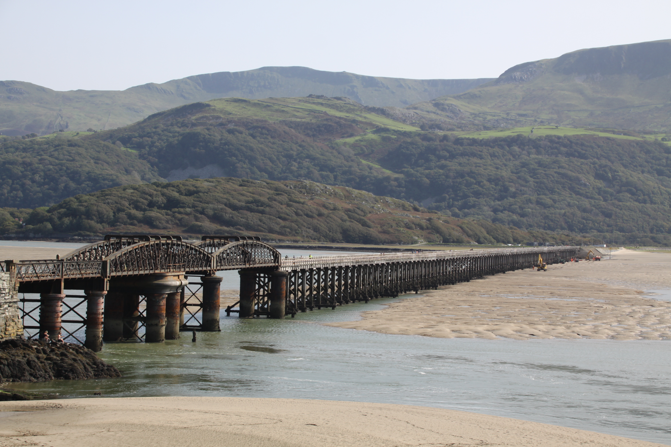 After walking up to Castell y Gaer hillfort in mid September, I drove to Morfa Mawddach railway station, a short drive away, and parked up. This is a favourite route for cyclists of all sorts. Some go there to do some serious peddling around the Mawddach on a marked out on the Mawddach Trail (following the route of the disused “Dolgelley Branch” of the Aberystwyth and Welsh Coast Railway line, which opened in 1869), others had hired bikes in Barmouth. It’s the same with walkers – some are there to do the trail, others are just walking the bridge. Fortunately, it was a very quiet day, at least on the bridge itself. The views on a sunny day are great, and when the wind drops, the high-pitched sound of the oystercatchers is lovely.
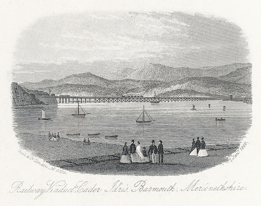
The railway viaduct in c. 1869. Source: Wikipedia
Barmouth Bridge, or viaduct, was built between 1864 and 1867 in to carry the Aberystwyth and Welsh Coast Railway, now the Cambrian Railway, across the Mawddach estuary, which it still does. It cuts off an 18 mile trip around the estuary that would otherwise have had to be taken by the railway between Morfa Mawddach and Barmouth. Designed by Welsh civil engineer Benjamin Piercy, and English civil engineer and architect Henry Conybearet, it has a span of c.800m, the longest wooden-framed viaduct in Britain. It was grade II listed in 1988.
Although most have been replaced long ago, timber pile viaducts of the Barmouth bridge type were once common on the Welsh coastal railways. Conybeare’s decision to choose timber as the main construction material was probably driven by much the same concern to save costs, rather than employing iron,. Baltic timber could be brought to the site very cheaply by sea, and was a fraction of the cost that an iron viaduct would have been. Although it was well known that Teredo navalis, a boring worm, could do considerable damage to vessels and sub-surface wooden structures, it was thought not to inhabit the Mawddach estuary, and may not have done when the viaduct was built.
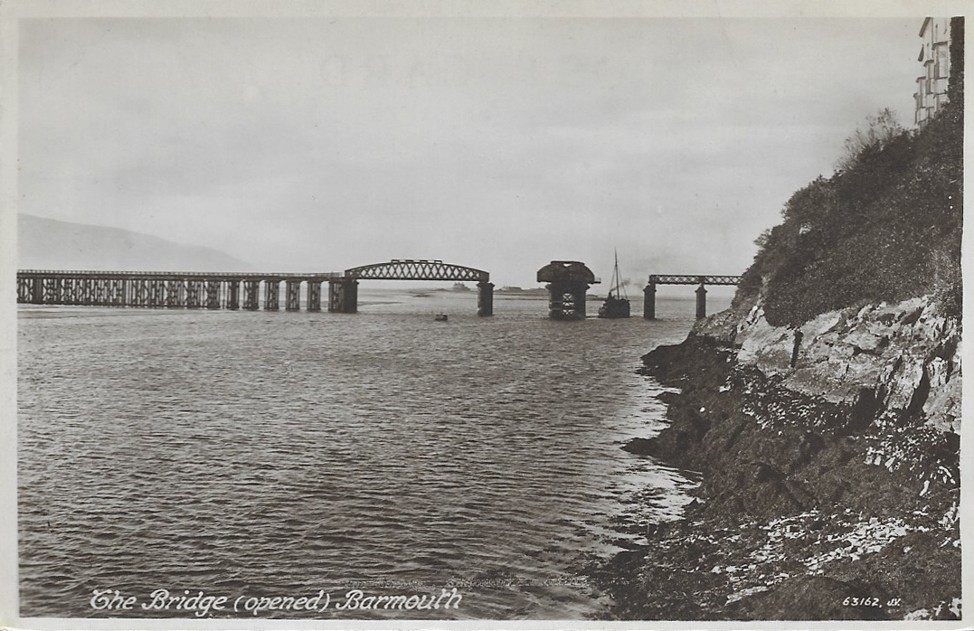 The original design included a rolling drawbridge section that pulled back across the track and enabled vessels to use the navigation channel into the estuary. This was replaced by the twin-hogback steel lattice swing bridge in 1899, which, with a span of 41.5m, could swing open to let vessels pass, shown on a vintage postcard to the right. The swing span was operated in March 1984 and April 1987, but permanent rails indicate that it is unlikely to be opened in the future.
After a number of repairs and renovations, the wooden elements supporting the span are composed of 113 timber pile trestles 5.5 metres apart, which are now encased in concrete sleeves reinforced by glass-fibre.
 The viaduct has had quite an exciting life, with a number of challenges to its longevity. It caught fire in 1892, and it was only thanks to a local boy, who raised the alert, that the fire was swiftly extinguished. It had a lucky escape in 1946 when a live mine came in on the tide and touched one of the wooden pillars, but fortunately failed to detonate. In 1980, considerable dismay was caused by the discovery that Teredo navalis had eaten into 69 of the supporting pillars. The bridge had to be closed, and restoration work was carried out over a six month period, during which a rail replacement service was run by the Cambrian Line between Barmouth and Tywyn. In August 2015, there were real fears that the footbridge would be closed as part of a cost-saving exercise announced by Gwynedd Council. The bridge had been a toll bridge, with a couple hired to collect small sums from users of the walkway, but with 90,000 visitors a year, these sums added up very nicely and contributed towards £38,000 that Gwynedd Council paid to Network Rail to keep the walkway open. An online petition was immediately organized by a local resident, collecting over 20,600 names in support of keeping the bridge open. A £1.00 honesty box system was implemented, but even on my one walk to Barmouth and back, it was amazing how many people didn’t contribute anything. In October 2016 a fire broke out and the bridge had to be closed again, but only for a fortnight, with a rail replacement service also running between Barmouth and Tywyn.
On its 150th anniversary a celebration was held, and a special train was run from Shrewsbury to Pwllheli, pulling Riviera Trains Mark 1 carriages. In March 2020 it was announced that the bridge was to receive a £25 million revamp from Network Rail to replace a large number of the timber and metal elements and install a new track along the entire span.
Sources
Barmouth Railway Viaduct. Coflein. https://coflein.gov.uk/en/site/34918/details/barmouth-railway-viaductbarmouth-bridge-cambrian-coast-line
Barmouth Viaduct. Engineering Timelines
https://web.archive.org/web/20141015015046/http://www.engineering-timelines.com/scripts/engineeringItem.asp?id=1340
Closing Barmouth Bridge will have ‘big effect’ on economy warns charity. North Wales Live. 20th August 2015
https://www.dailypost.co.uk/news/north-wales-news/closing-barmouth-bridge-big-effect-9841952
20,000-name petition to keep Barmouth Bridge open to all. 21st August 2015. BBC.
https://www.bbc.co.uk/news/uk-wales-north-west-wales-34010645
Fire shuts Barmouth Bridge until next week. North Wales Live. 4th October 2016
https://www.dailypost.co.uk/news/north-wales-news/fire-shuts-barmouth-bridge-until-11978355
150th Anniversary of Barmouth Bridge Celebrated with Special Train Service. Forwarder Magazine. 10th October 2017
https://forwardermagazine.com/150th-anniversary-of-barmouth-bridge-celebrated-with-special-train-service/
Barmouth Bridge £20m plan on its 150th anniversary. BBC News. 10 October 2017
https://www.bbc.co.uk/news/uk-wales-north-west-wales-41568248
Barmouth Viaduct to get £25m revamp. BBC News. 26 May 2020
https://www.bbc.co.uk/news/uk-wales-52807338
