
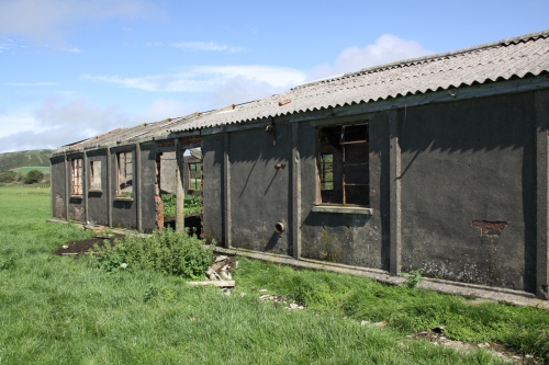
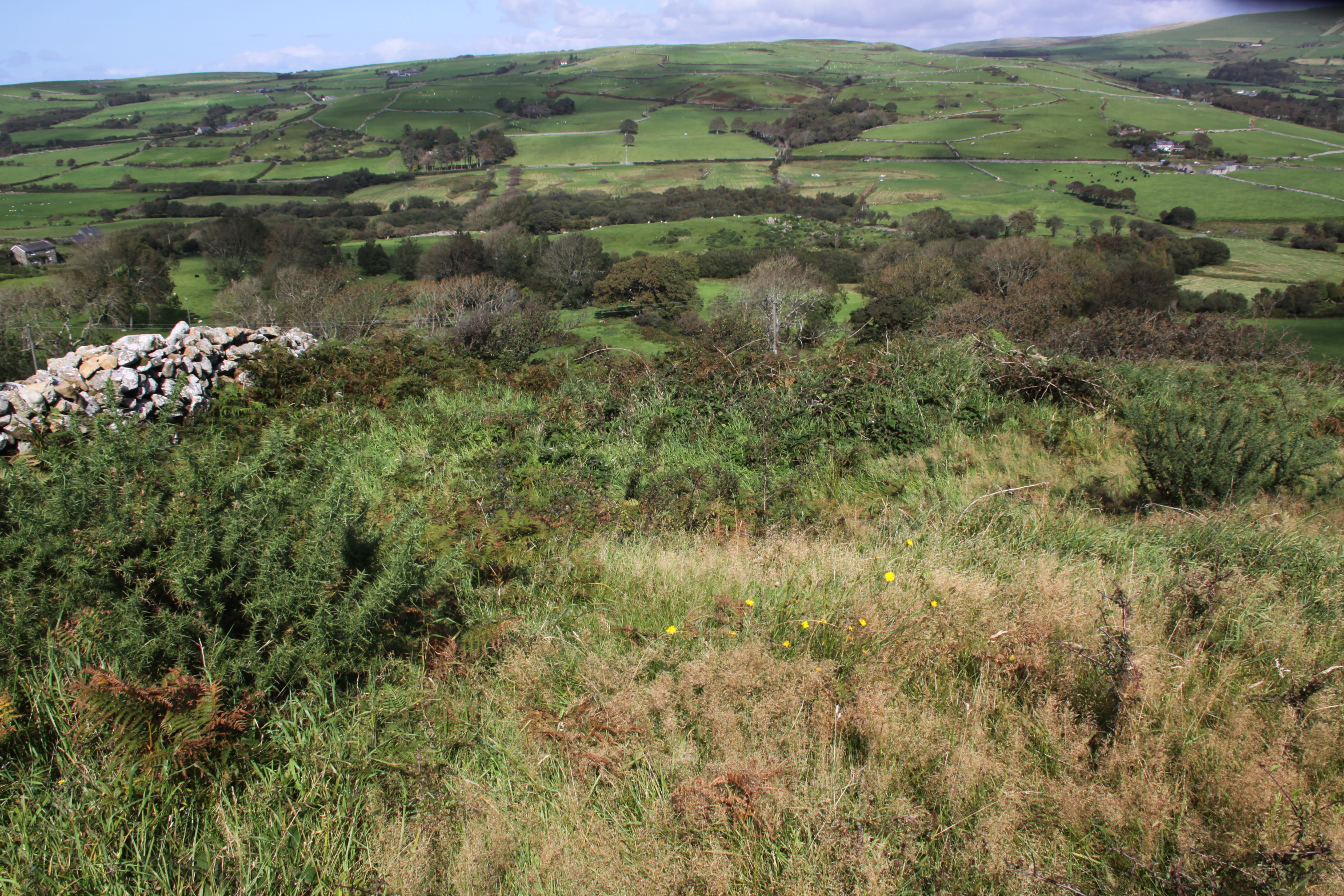
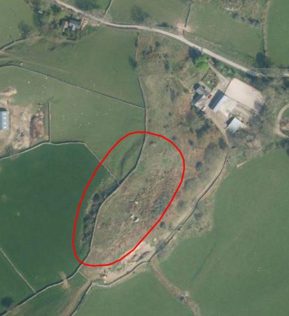
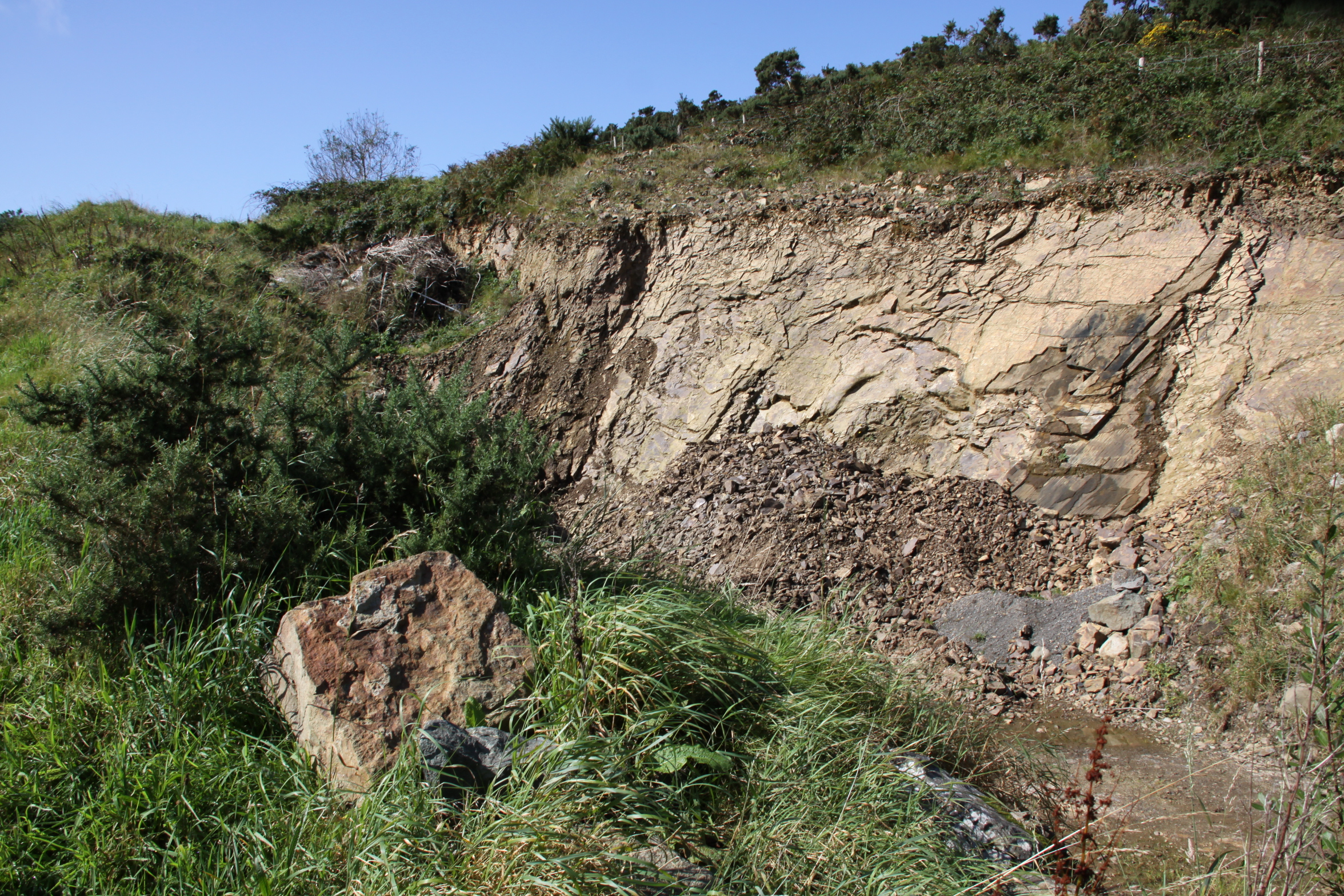
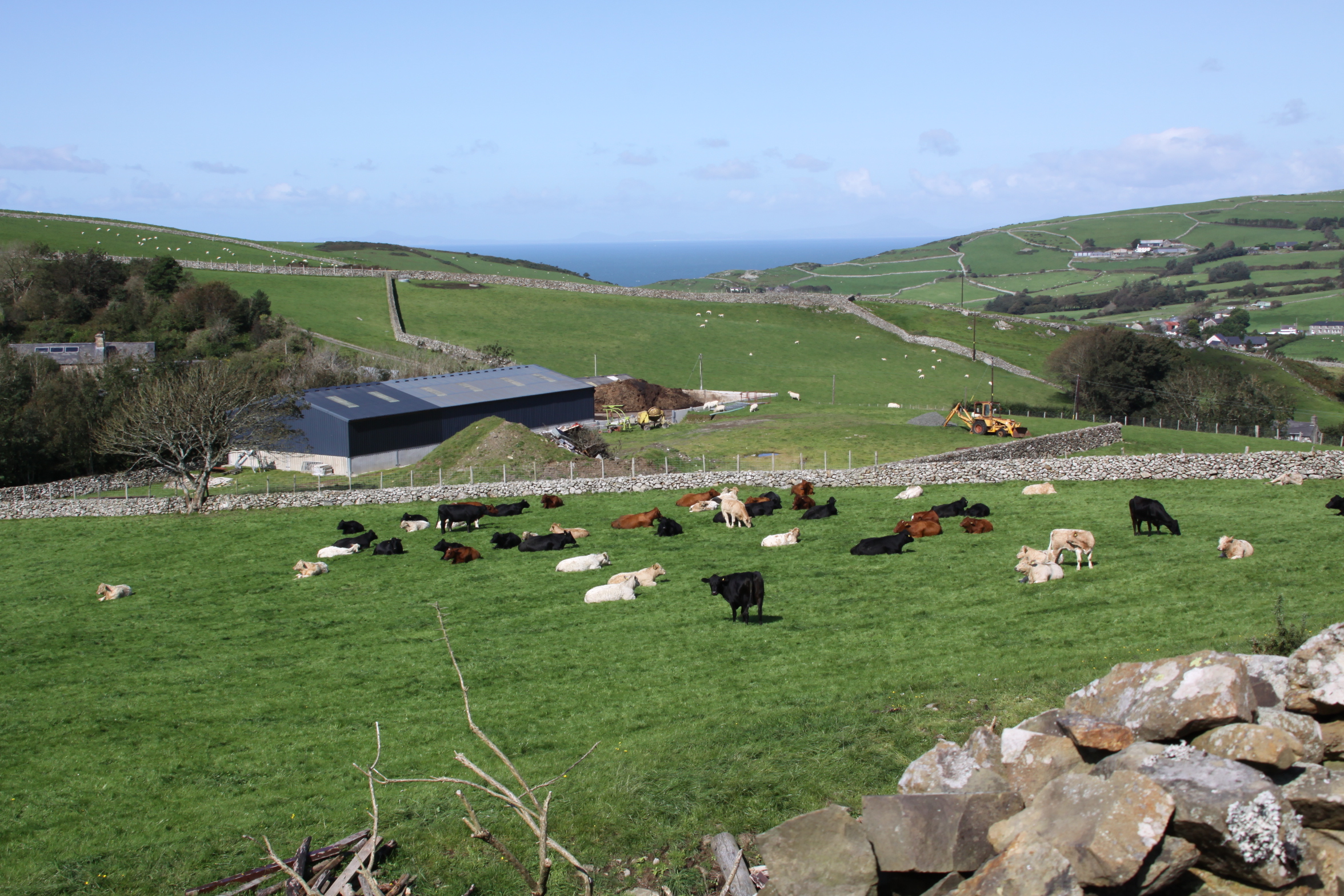
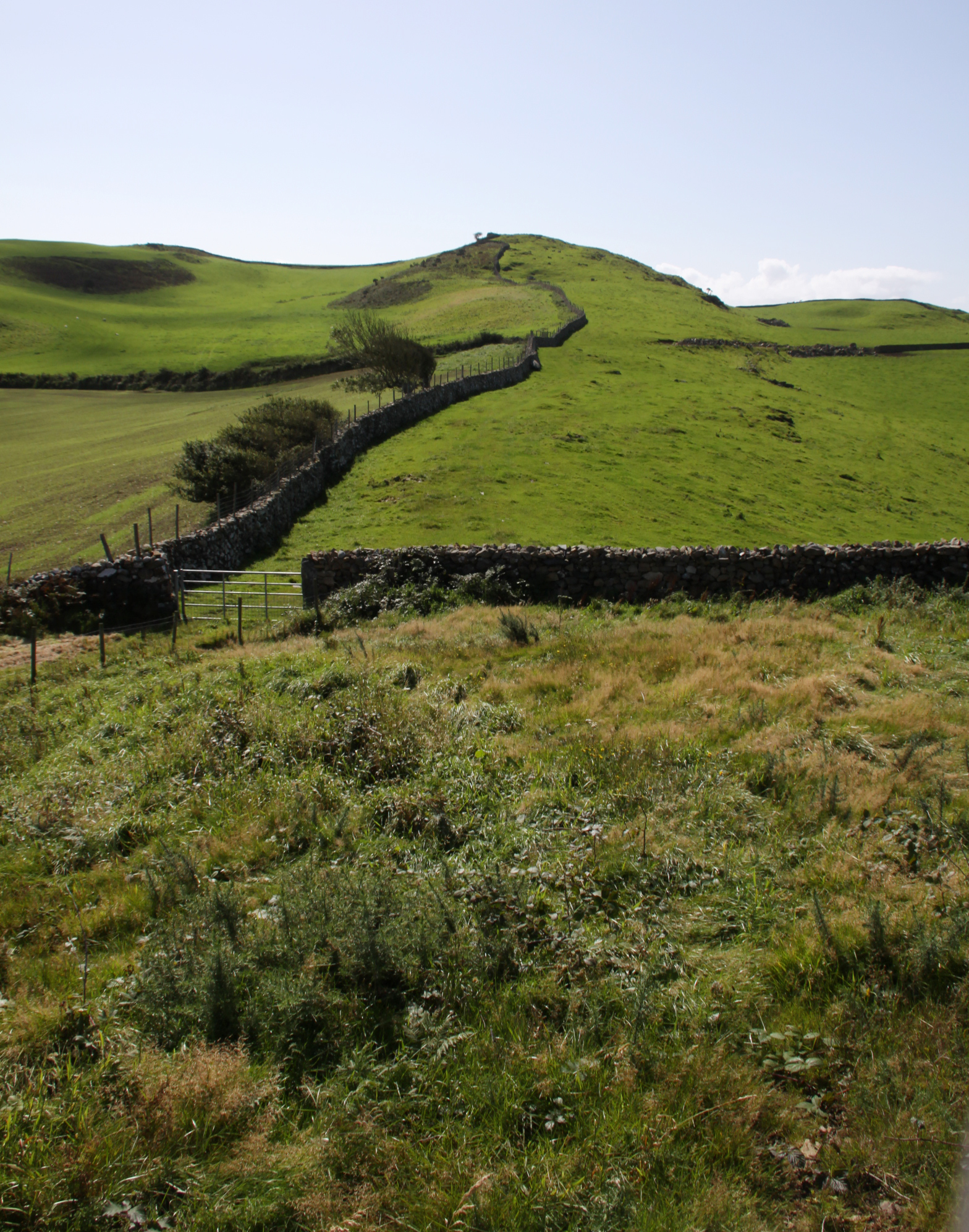
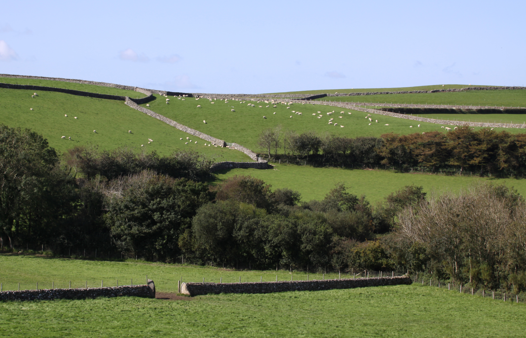
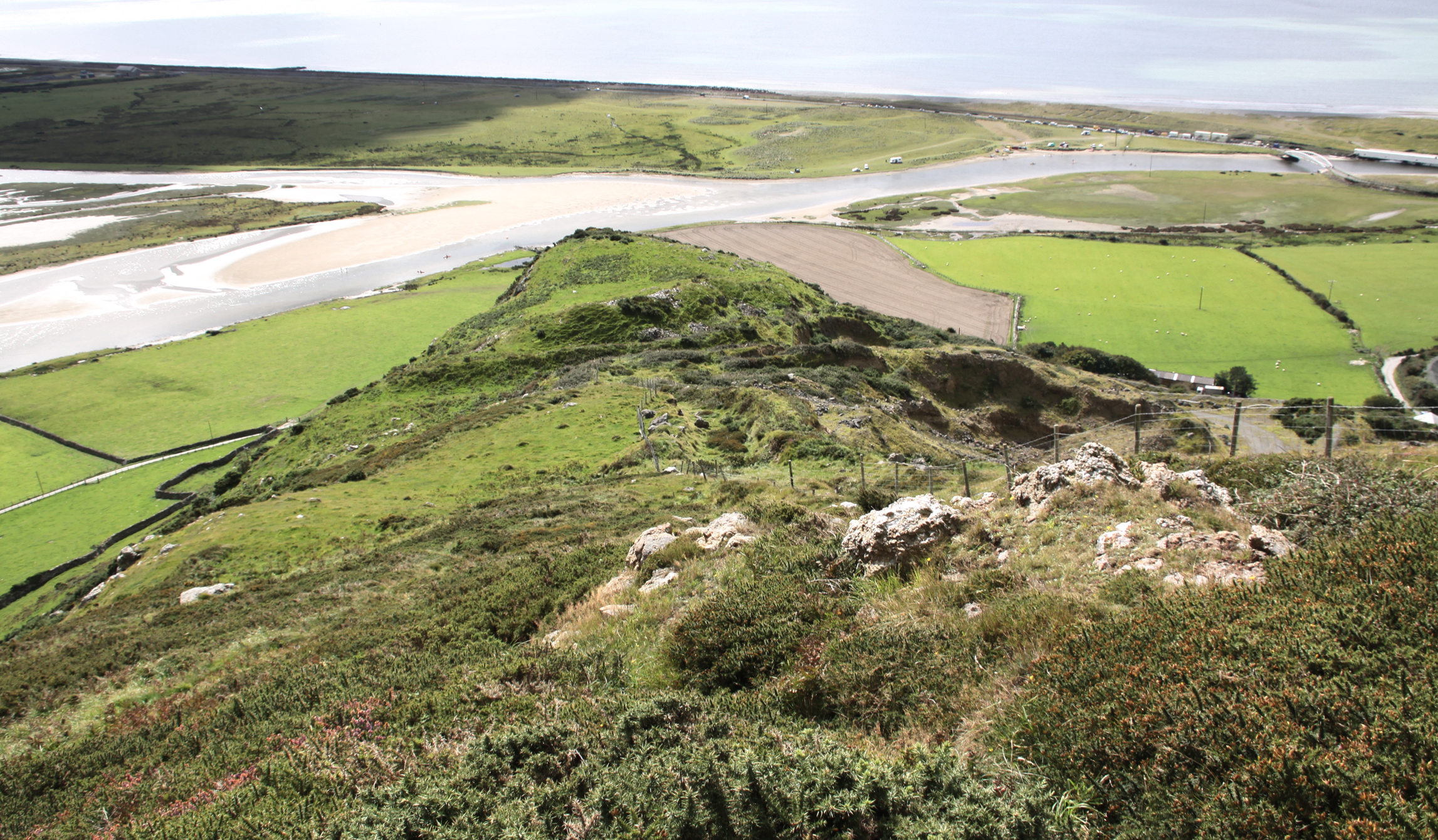
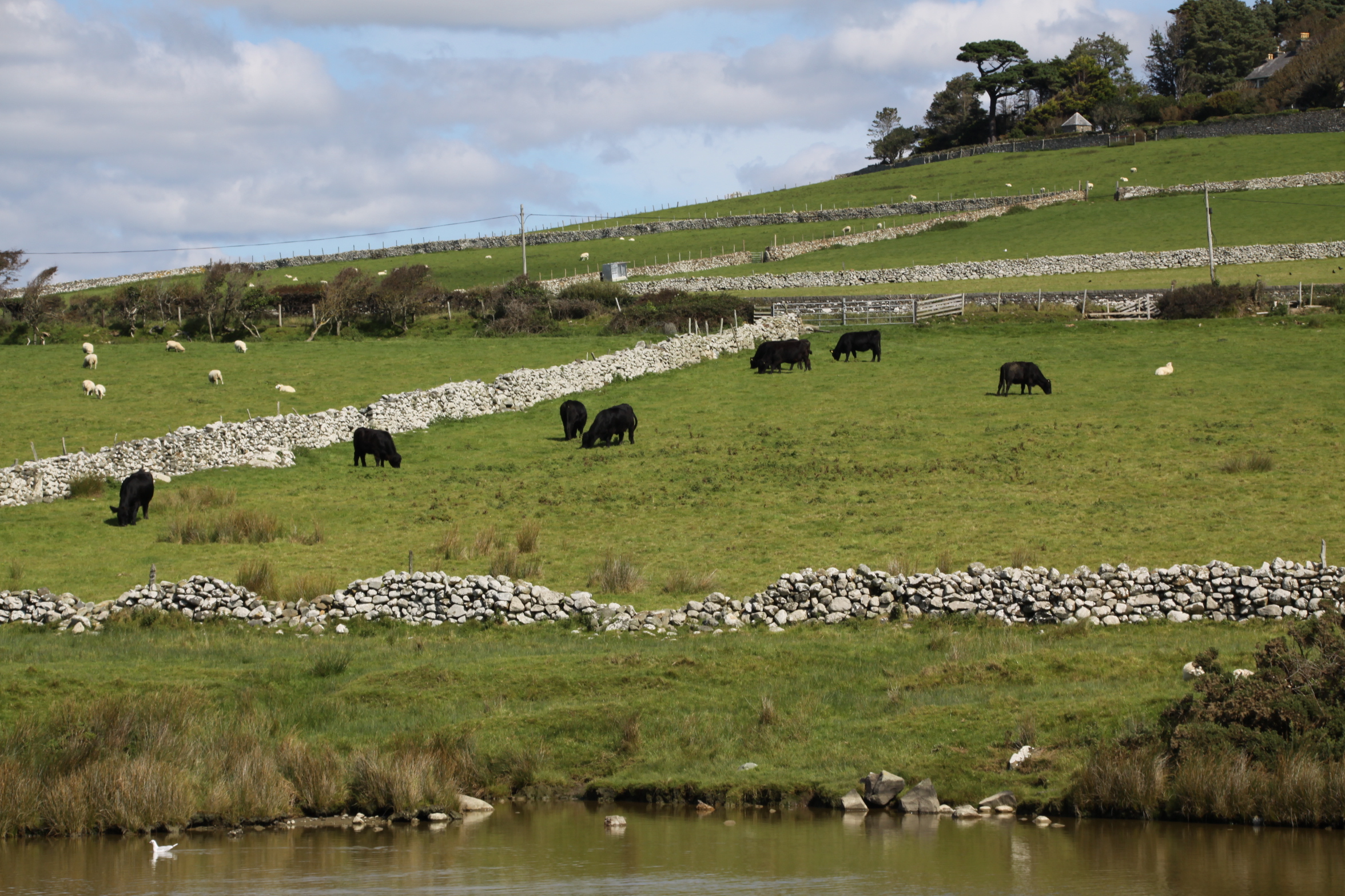
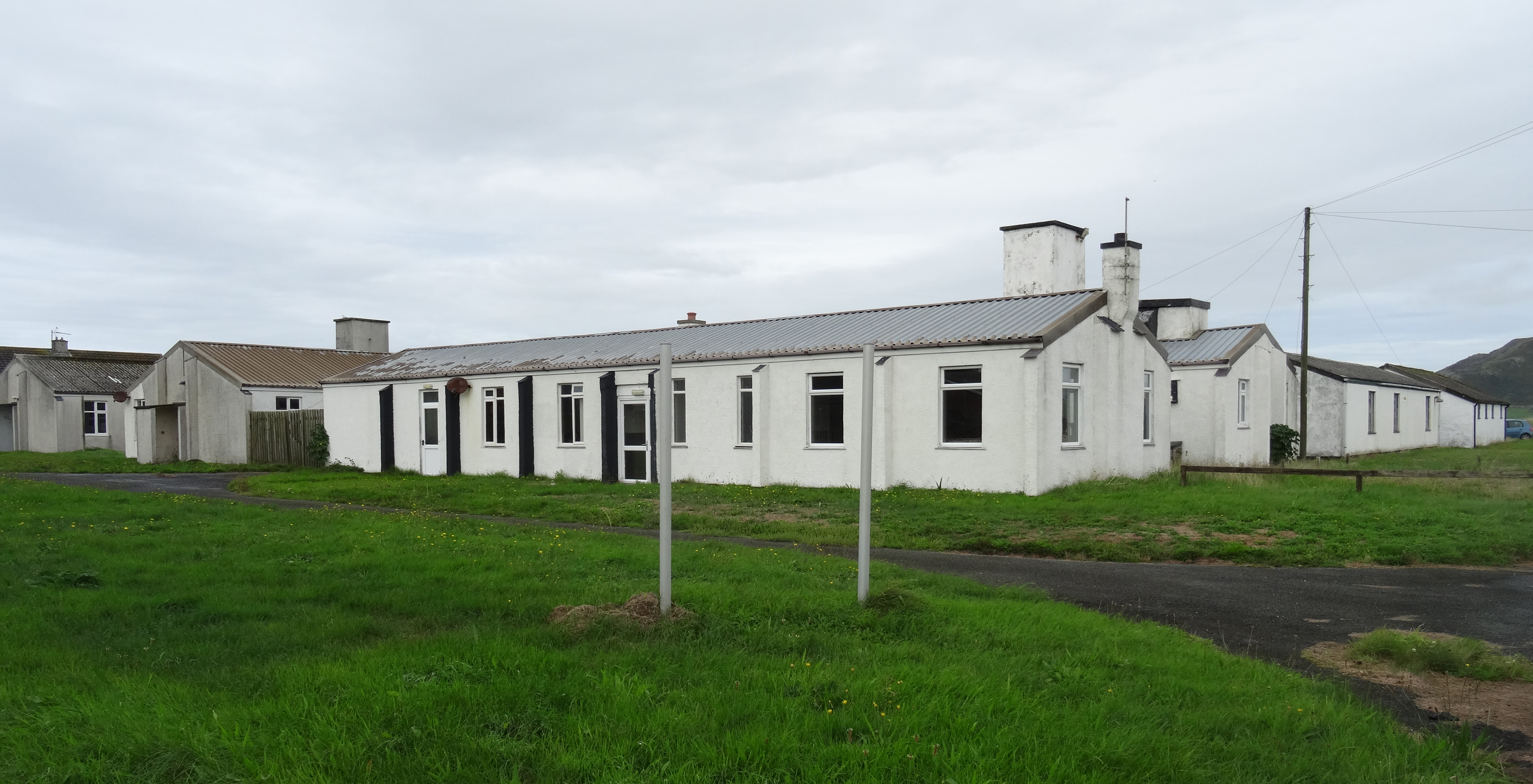
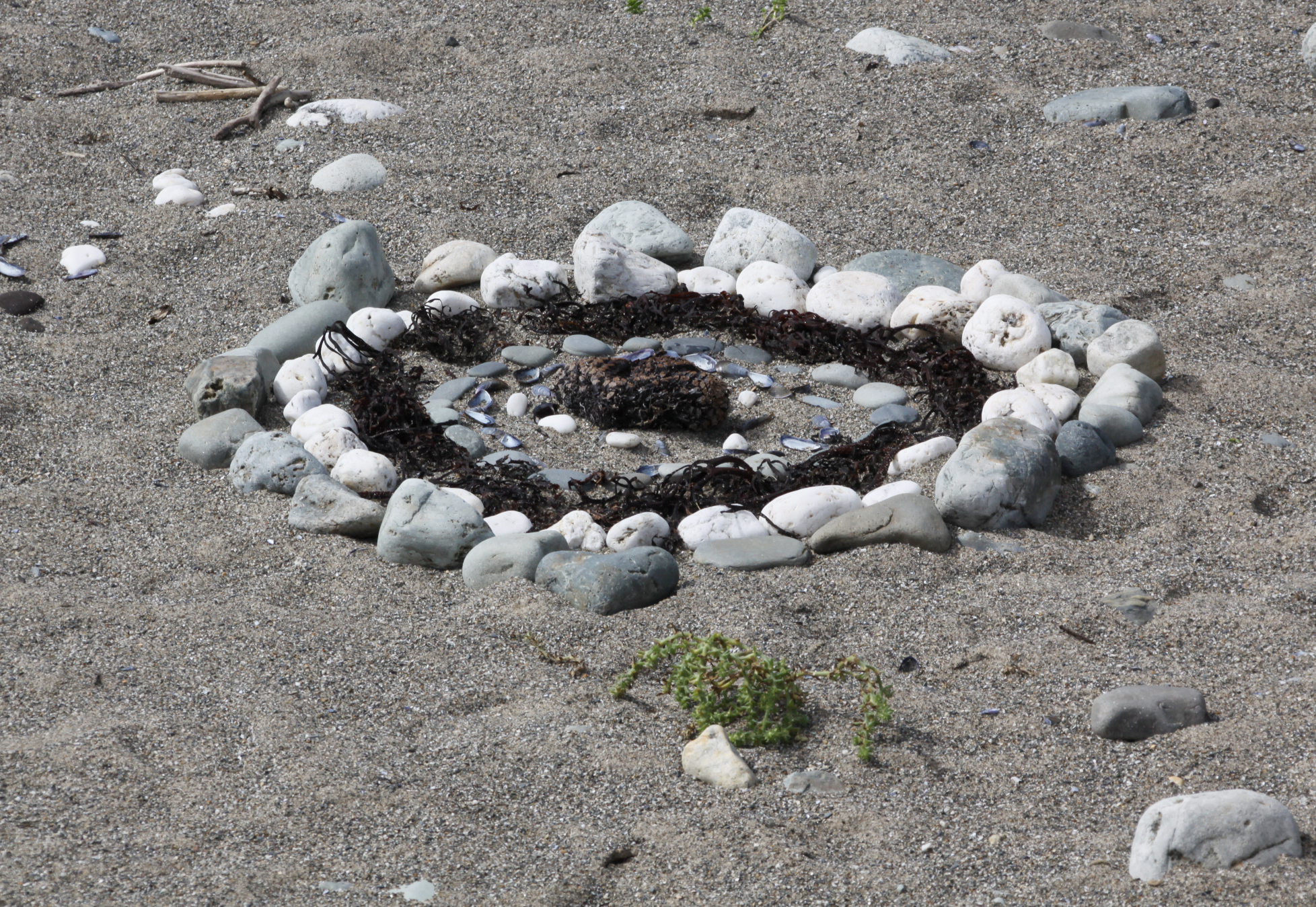
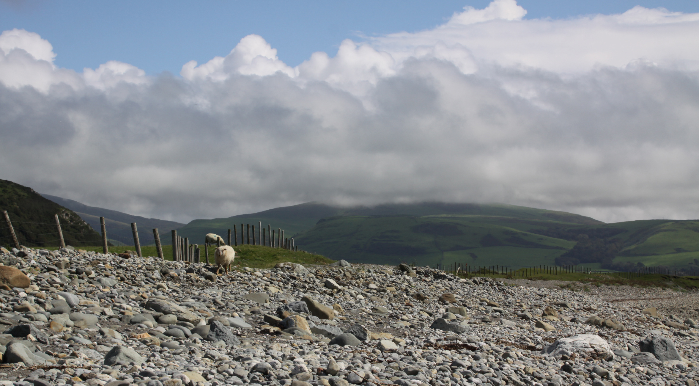
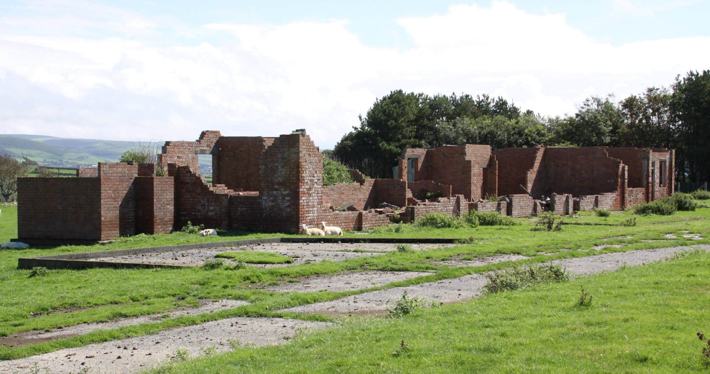
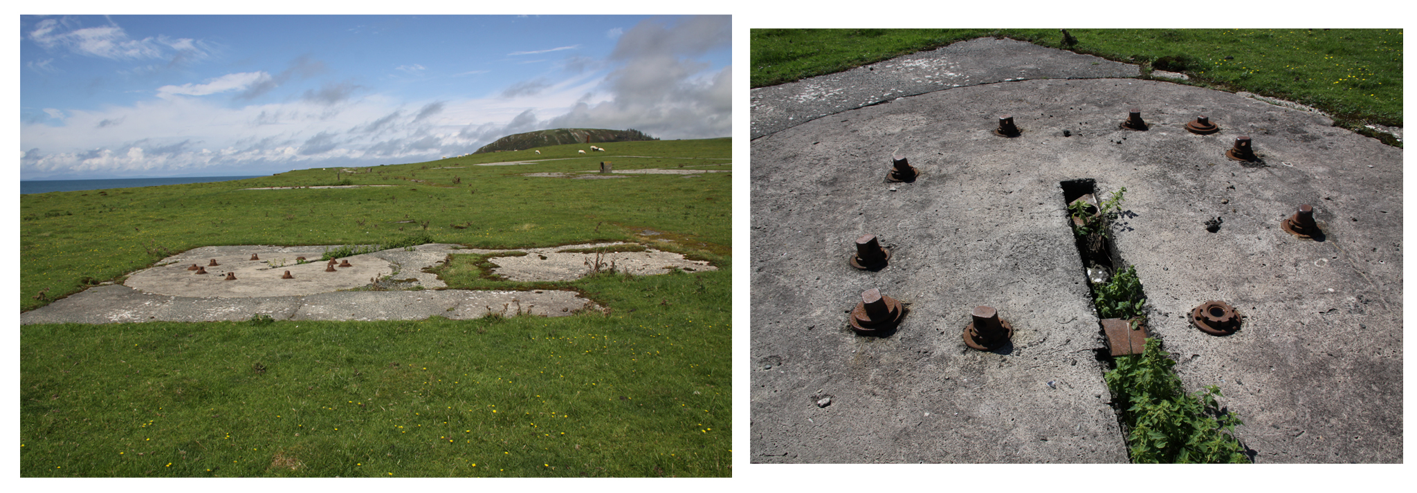
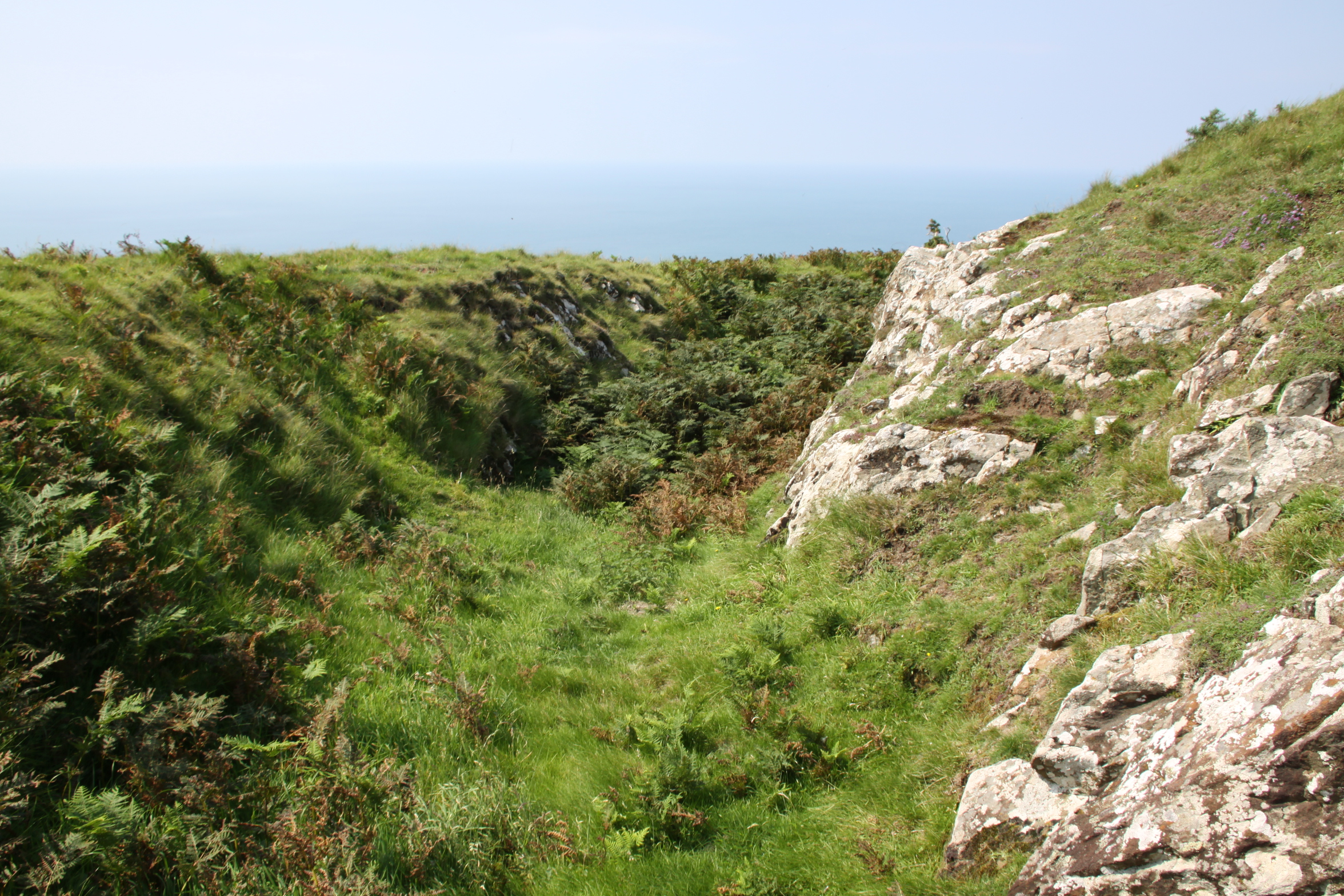
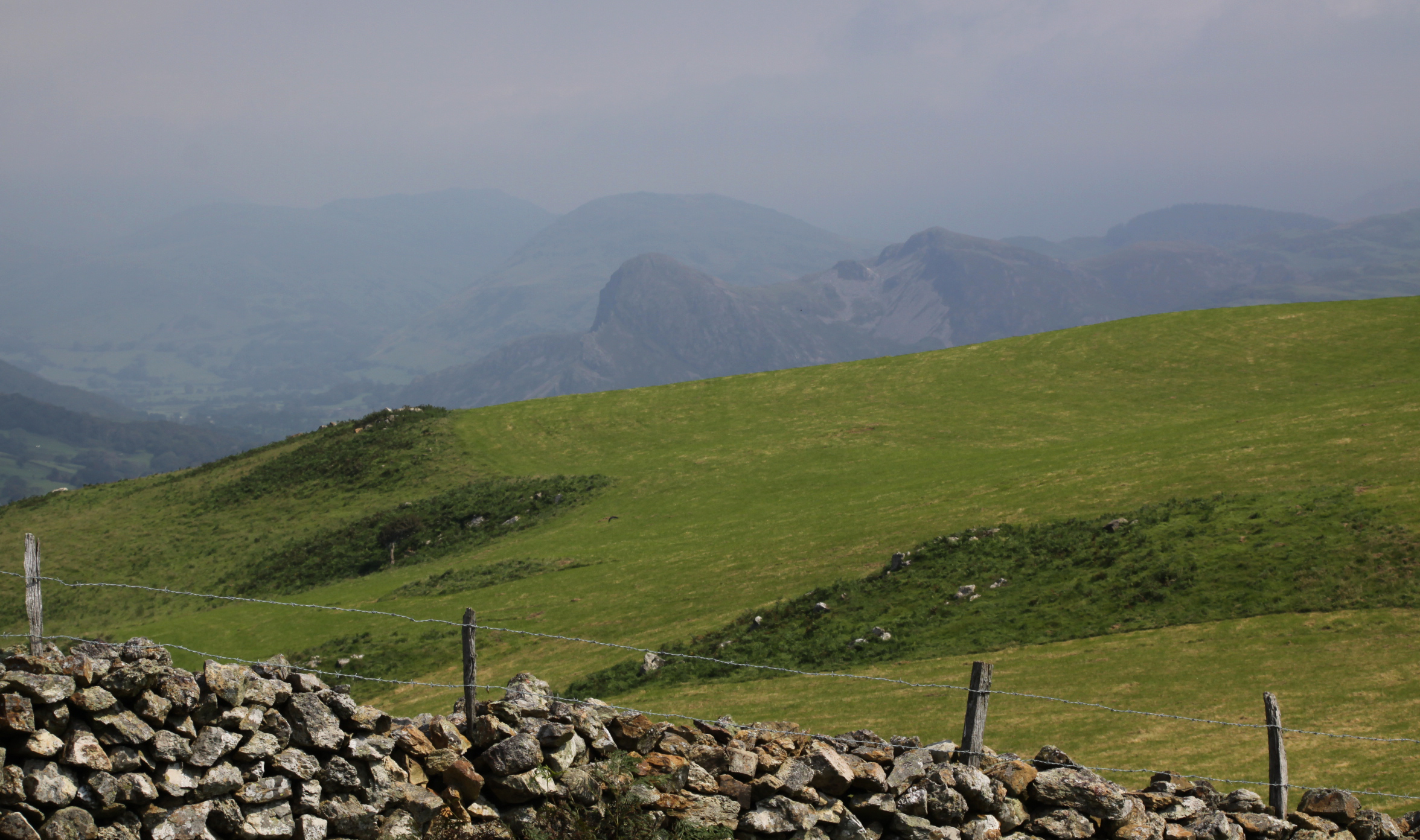
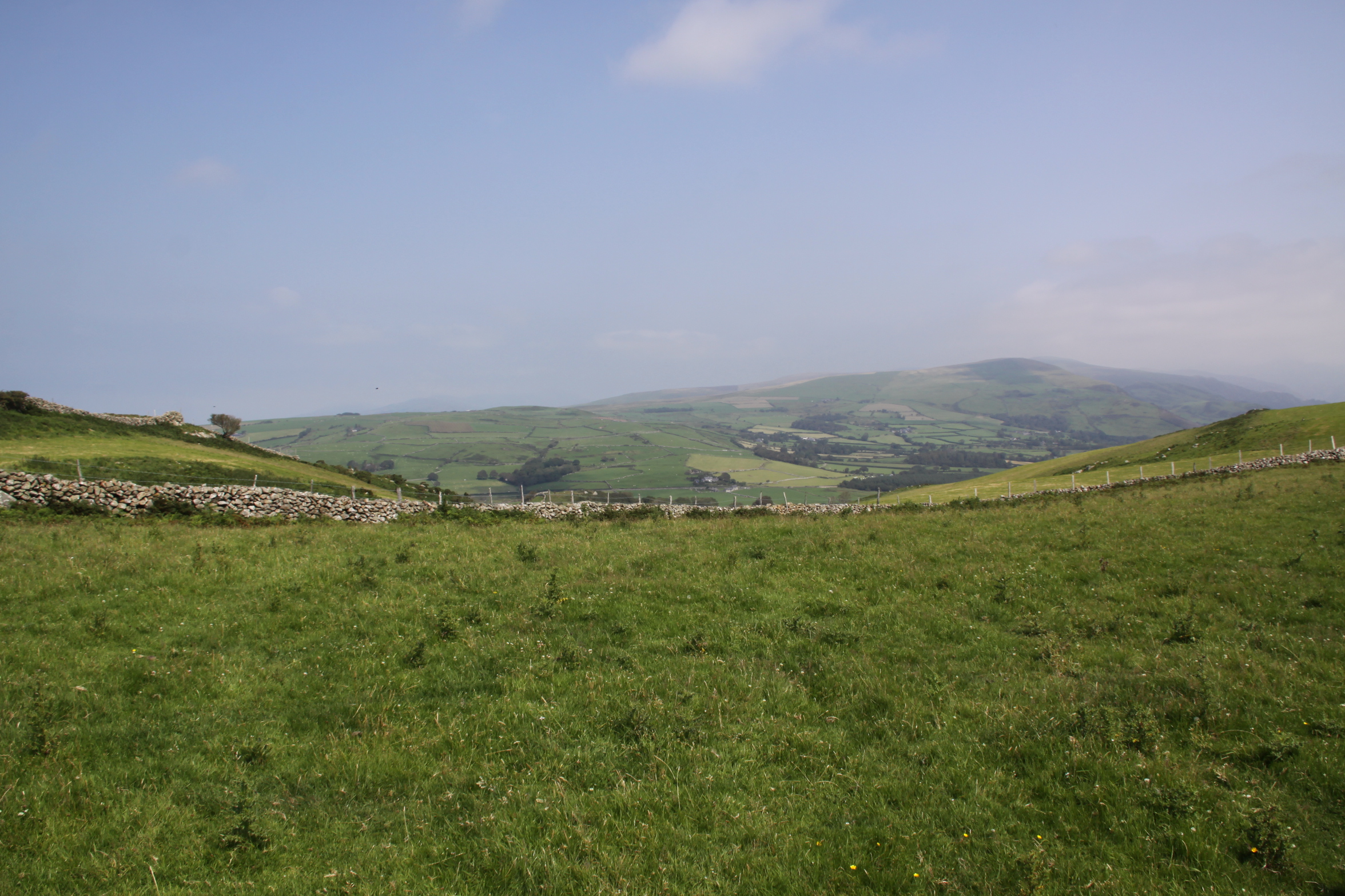
Some of the few surviving remains of Tonfanau Army Camp today, behind Tonfanau station, complete with grazing sheep, the sea just out of sight in the background
Introduction
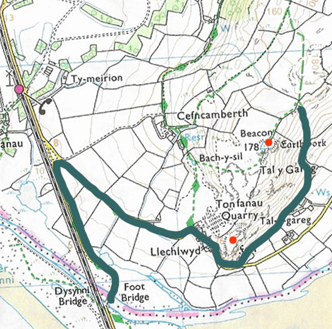
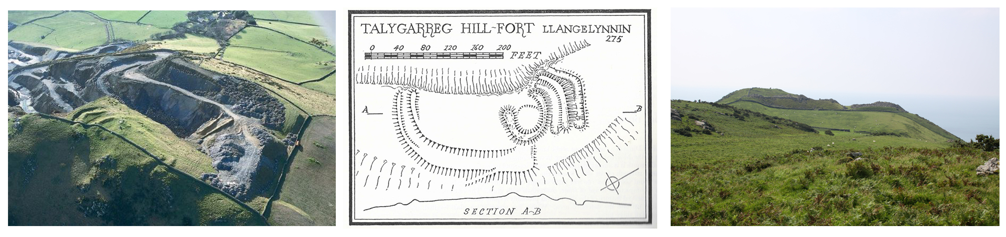
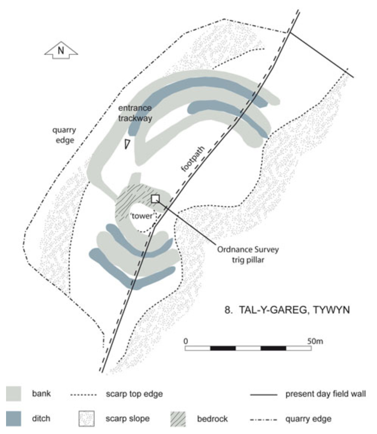
The first time I heard the name Tonfanau was when I was researching the Ynysmaengwyn Estate. In the late 1870s John Corbett, who had purchased the estate, also invested in Tonfanau granite quarry to aid with his construction projects in Tywyn. Recently I have also been doing research into the hillforts on the hill behind Tonfanau. In both cases my searches came up with very little about either subject, but an awful lot of information about an army camp that I had known existed but knew nothing about. I became interested in the story of the camp.
The Tonfanau camp (pronounced ton-van-ow – the ow to rhyme with cow) was established in the 1930s as an anti-aircraft artillery training centre, but it underwent many changes in role over time, before being nearly entirely demolished in the late 1980s or 1990s. One of the most arresting aspects of the subject is the remarkable number of accounts and photographs available online by those who were stationed at Tonfanau. The camp is not merely a few ruins of the past, it is something that lives on in people’s memories, giving lie to the very few abandoned and desolate fragments that remain.
This is a short summary of why the camp was established, what it was used for at different times, how far it extended over the surrounding area, what it consisted of, and what remains today. Do have a look at the comments that follow this post, because over the years, many voices have been added, telling of their own memories or of how family members remembered their experiences at Tonfanau. These, rather more than my account written in 2020, bring the story to life.
I have made considerable use of the resources that I have found on the web, all of which are credited below in “Sources” with my sincere thanks. Particular thanks must go to the Tonfanau page on the AAJLR website and its many contributing volunteers for assembling such a magnificent collection of photos, many of which are reproduced here with permission.
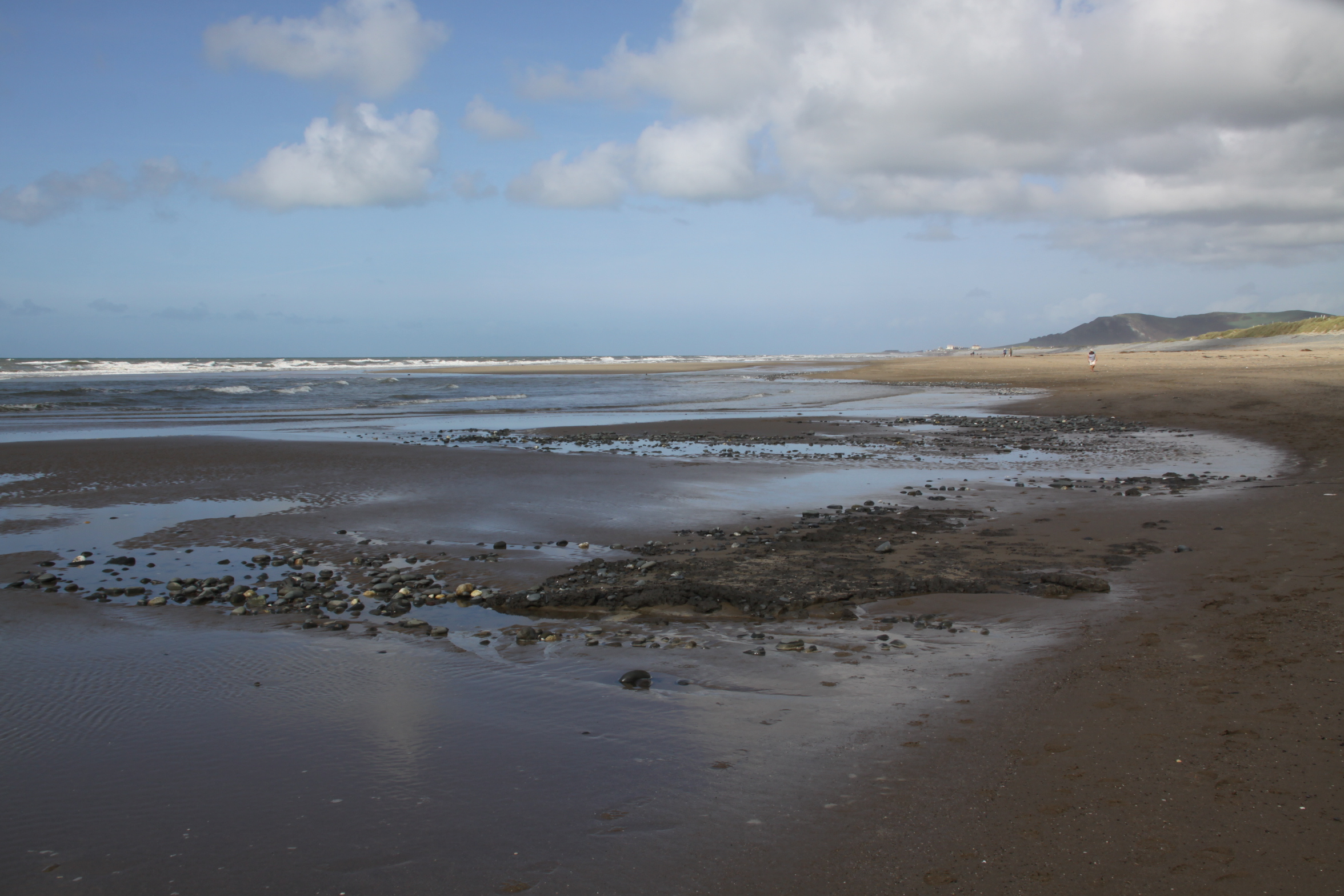
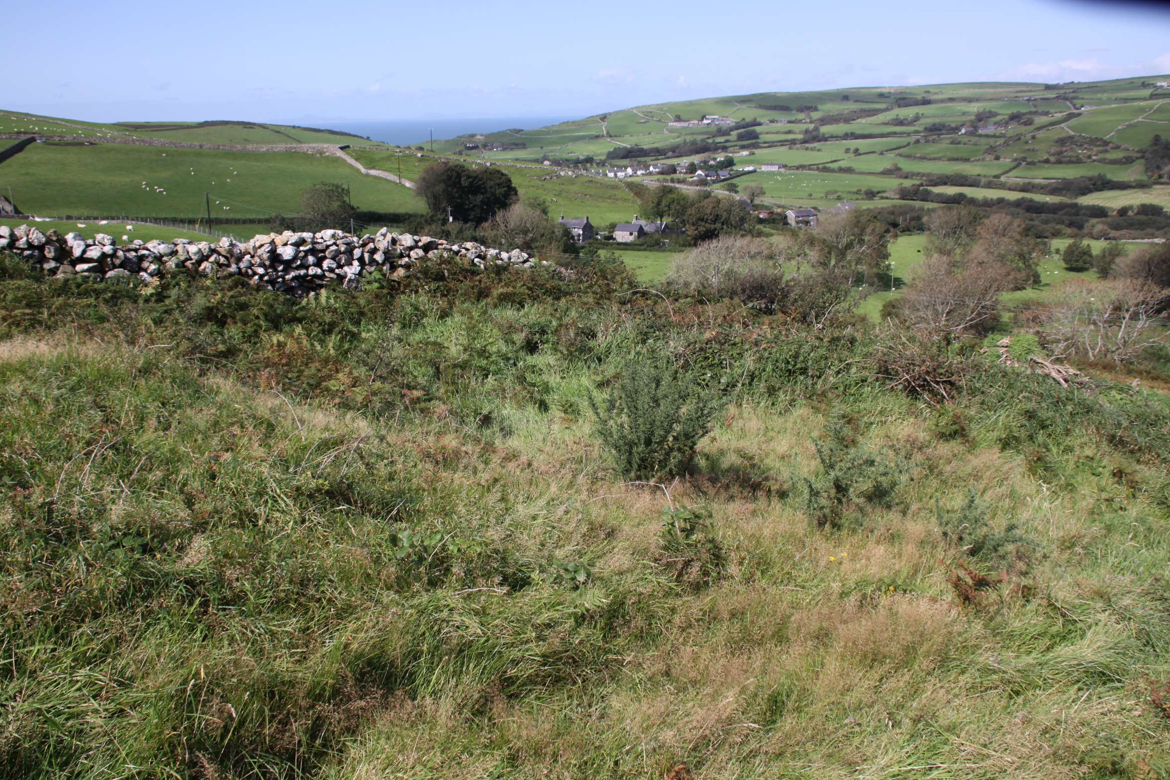
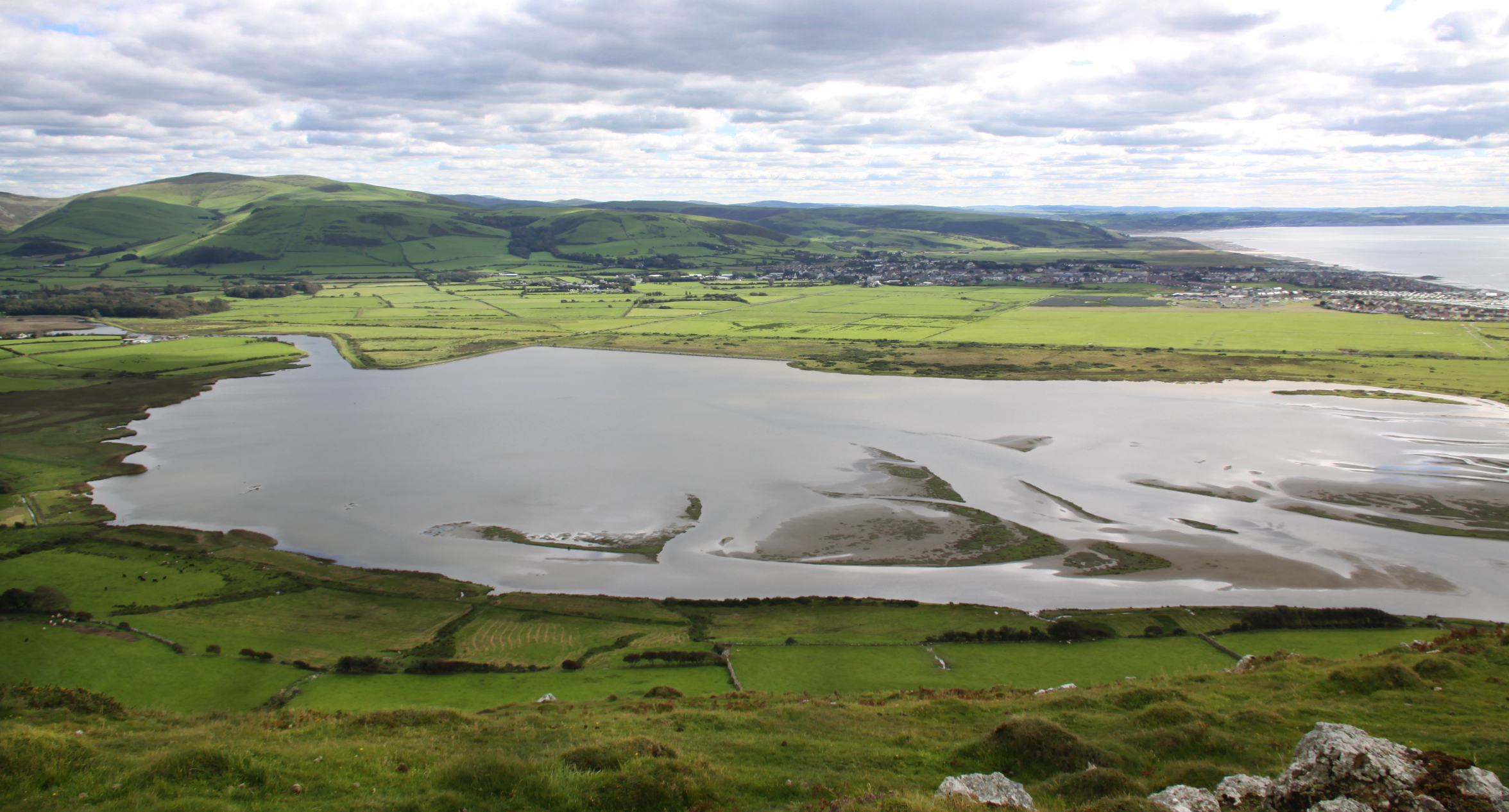
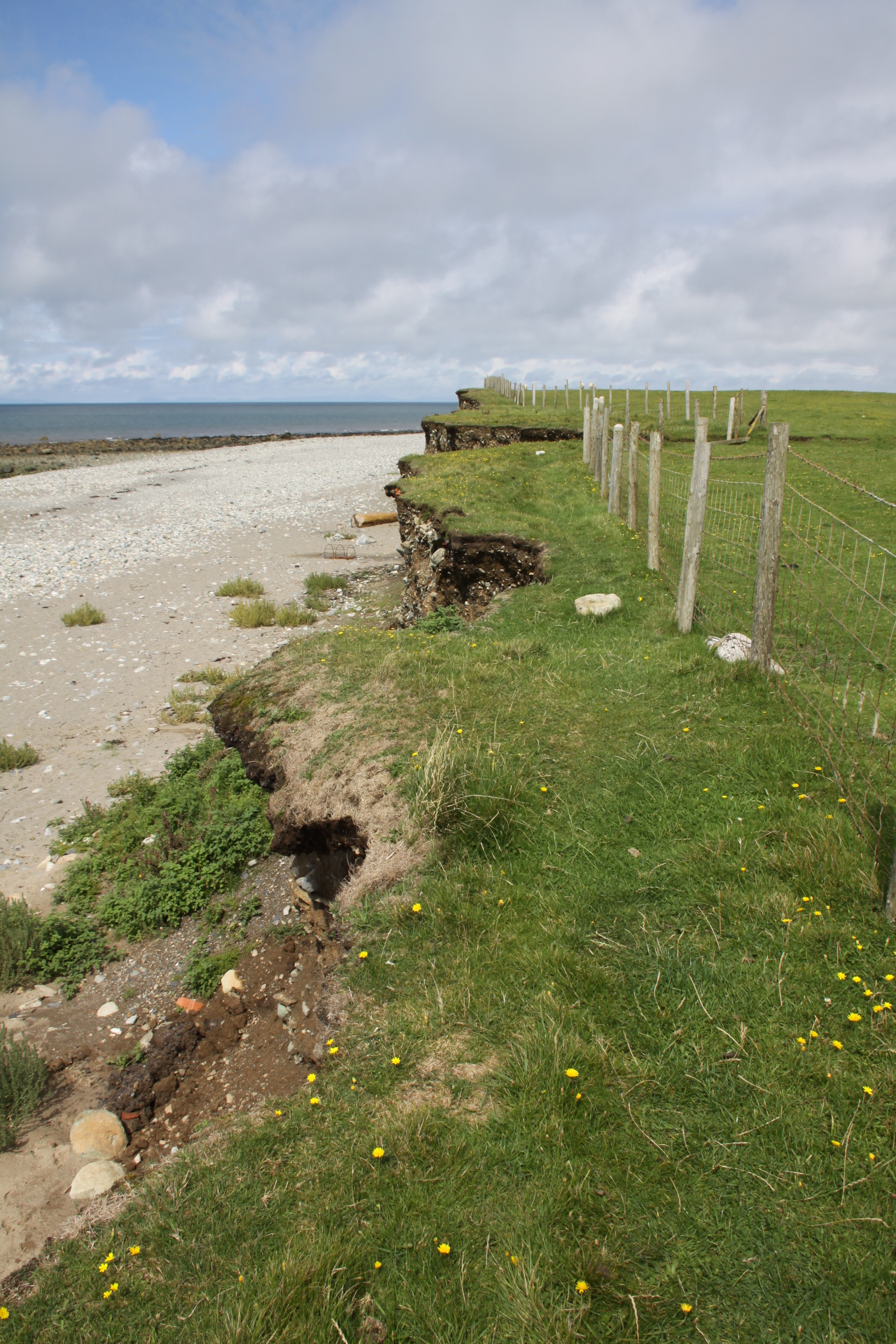
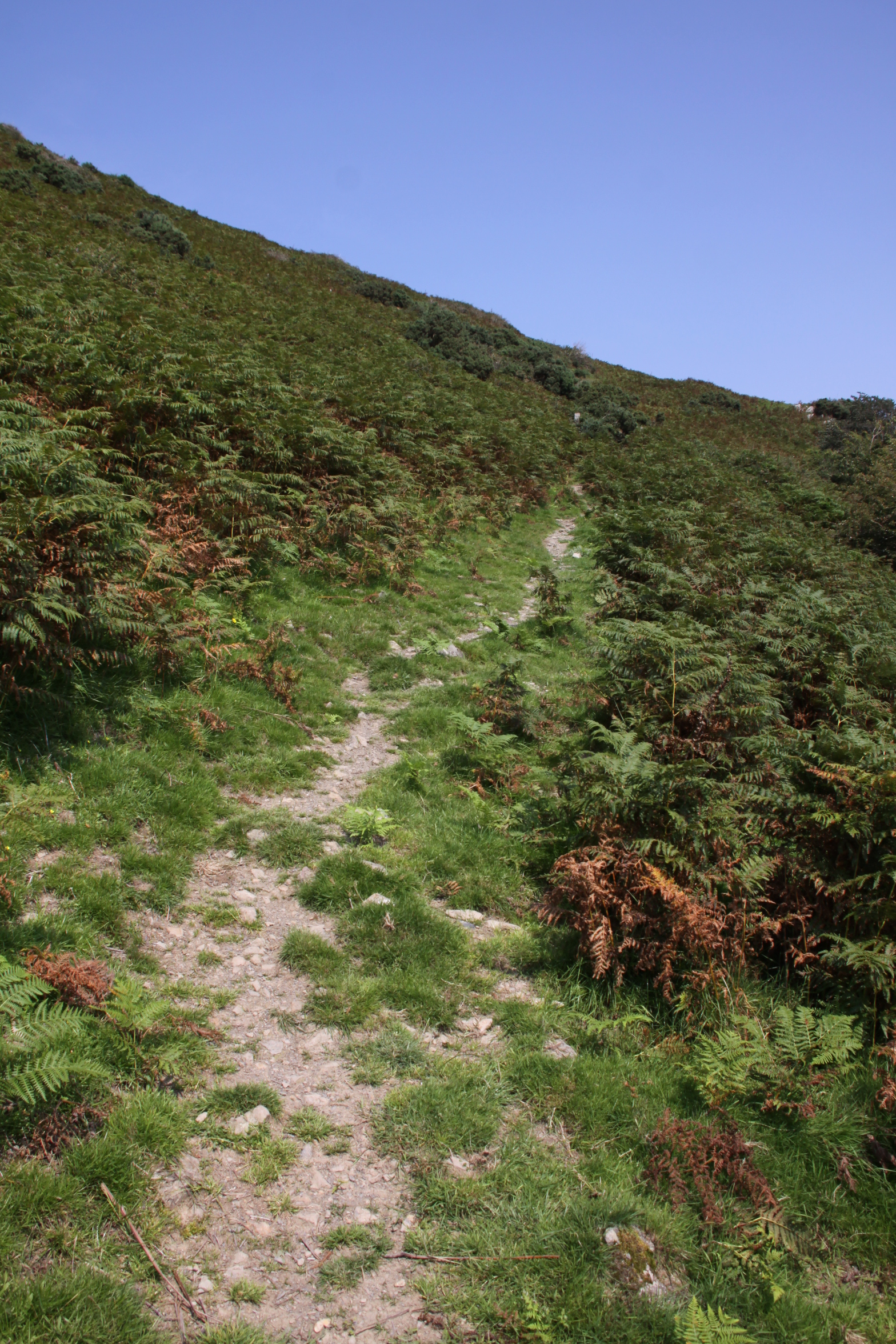
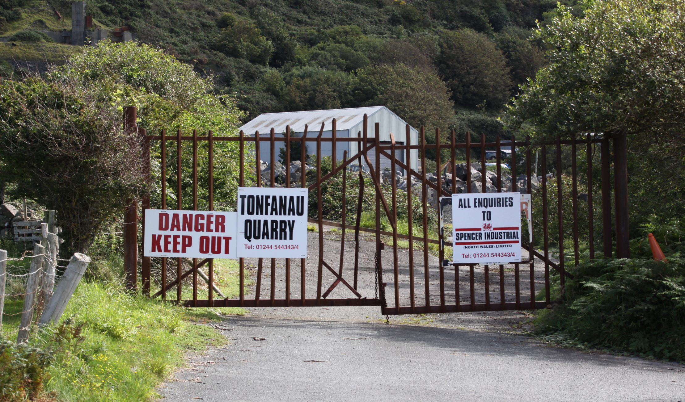
In terms of visiting, if you are aiming to incorporate the remains of the camp into a walk, the easiest and most attractive way is to drive down Sandilands Road, turning right just before the level crossing. Follow the road to the Tonfanau footbridge, and it is about a 15 minute walk from there. In summer it is a particularly nice walk as the verges from the Dysynni footbridge to the station are filled with a profusion of wildflowers. Otherwise it is a matter of driving to Tonfanau station down bendy single track lanes and parking up there. You can cross the railway to go down to the emplacements on the beach, or walk up the road opposite the station to see some of the other remaining structures. Otherwise it’s a matter of wandering around the publicly accessible parts of fields to see more.
The remains of Tonfanau camp are interesting, but be warned that they are really very ugly, a thorough blot on the landscape. This sort of swiftly-built camp, of which there were several dotted around the country, must have been just as alien in their own ways as Roman camps imposed on an Iron Age landcsape, just as uncompromising and just as much as an imposition, but eventually becoming a fact of life. Unlike the Roman armies of occupation, these invaders of the landscape were British, and the camps were there to serve the nation, giving their sudden arrival, even if unwanted and unwelcome, a positive reason for being.
Anti-Aircraft Training 1938s – 1957
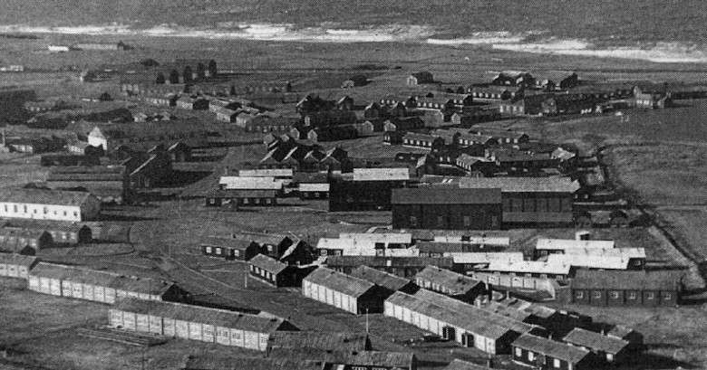
Throughout its existence the camp consisted of a series of fairly basic buildings, including brick-built huts, wooden huts, hangars and so-called Nissen huts. Nissen huts, like bailey bridges (of which more below) were assembled from pre-fabricated parts to enable very rapid construction. Corrugate iron sheets were used to form half-cylinders that created lightweight buildings, useful in a variety of situations. They looked like gigantic pigsties, half-tubes of corrugated iron blocked at either end, one end containing a door for access.
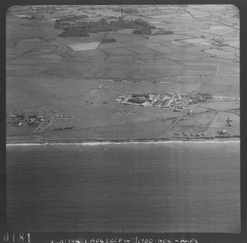
The camp was built beyond the immediate reach of the nearby villages, on a wide coastal plain beneath Tonfanau hill, spanning both sides of the railway line. The Tonfanau railway station was added on the existing Cambrian Railway line, which itself linked into the national rail network, to serve the camp . By train, the camp was a few minutes from Tywyn. By road, it was a matter of negotiating some bendy B-roads and passing through Bryncrug before reaching Tywyn, some 30 minutes or so later. The decision to put the site beyond the immediate vicinity of residential areas was probably connected directly to the noise that the camp would produce as an anti-aircraft gun range. Either that, or this was the biggest flat-ish area available in the vicinity for the construction of this sort of camp. Either way, the camp was neither a part of the village, nor completely isolated from it. At some point a bailey bridge was established at the crossing over the River Dysynni where the railway also crosses, substantially reducing the time taken to get into Tywyn. When an RAF camp was built at Sandilands in Tywyn in September 1940, partly to build on an existing relationship that the RAF already had with the Tonfanau camp, communication and visits between the two camps probably became quite frequent.

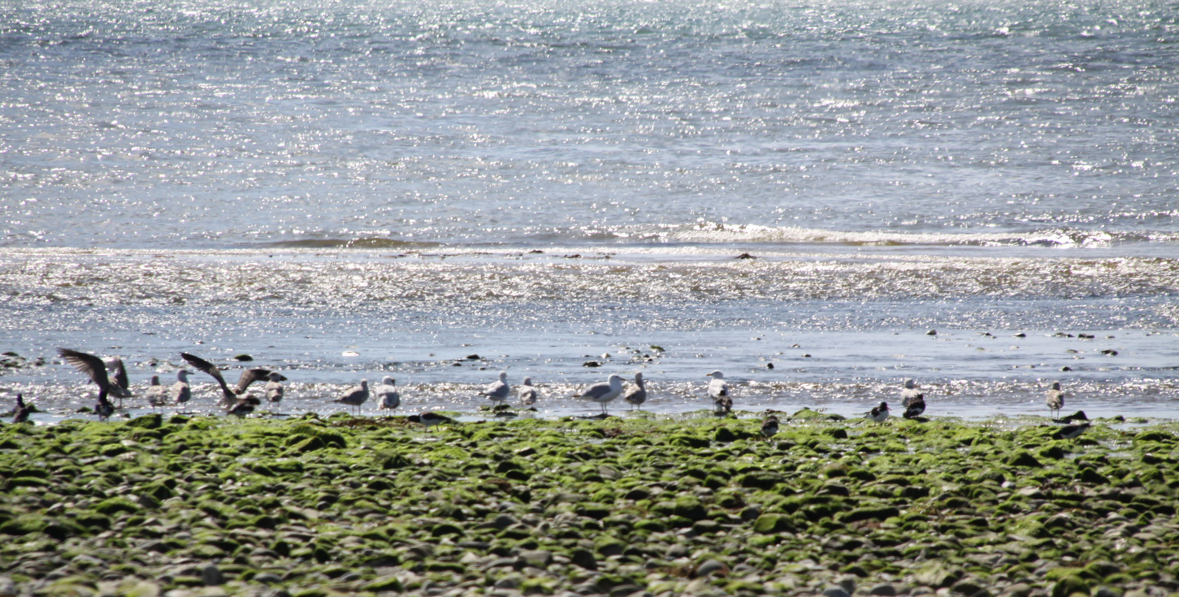
Anti-aircraft emplacements at Tonfanau camp from the air. Ref. tonp_067. Source: AAJLR.org
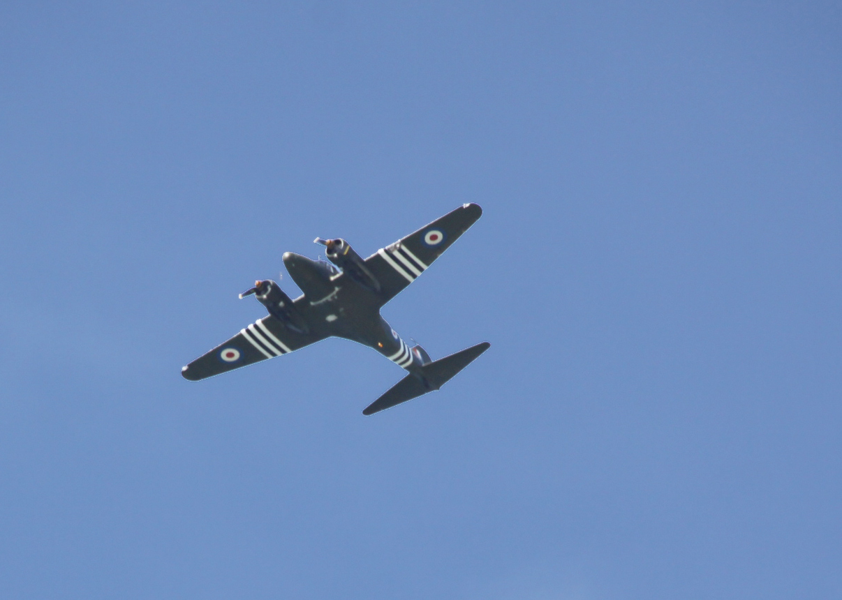
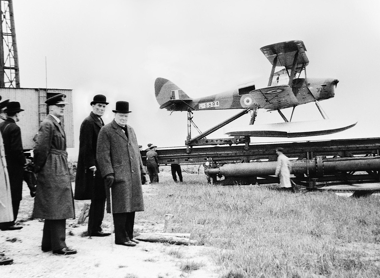
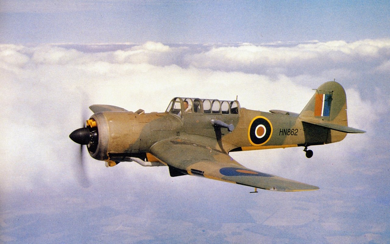
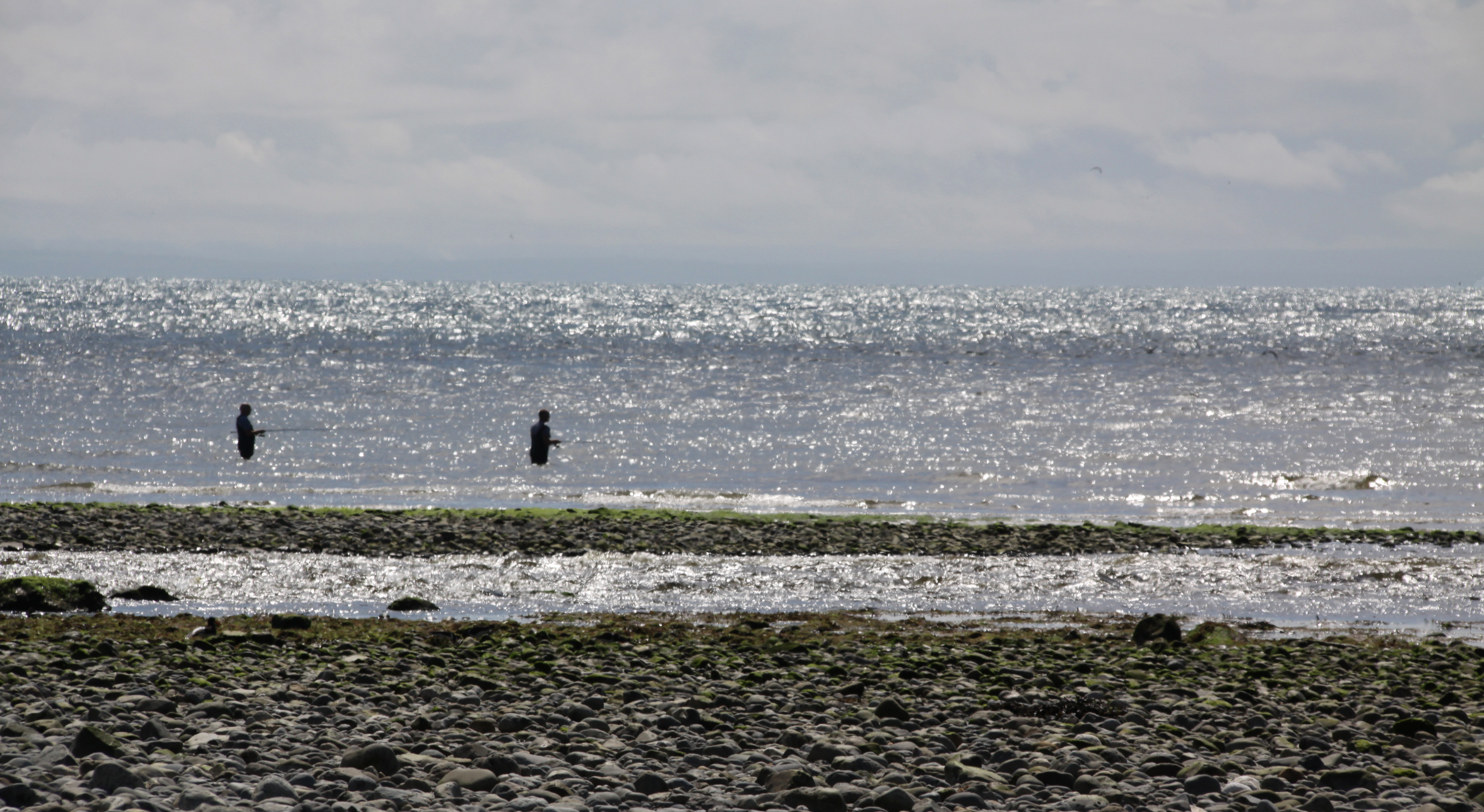
As an artillery training camp, Tonfanau had various sites to enable training on different types of weapon. The big anti-aircraft (AA) guns were mounted on permanent emplacements just behind the beach, as shown on the above photograph. The foundations of these can still be seen above the line of the beach, some of which are shown on the photographs at the end of this post. These pointed out to sea for target practice. The targets were initially supplied by RAF Tywyn’s, which had a camp in the Sandilands part of town and later became known as Morfa Camp, which is how it is usually known today. Disposable gliders were towed using Hawker Henley planes near to the position of the anti-aircraft emplacements, and these gliders were used as targets. All I can say is hats off to the pilots who took on that unenviable task! Eventually these were replaced with an unmanned remote-controlled version of the Tiger Moth known as the Queen Bee, which must have been a lot safer all round.

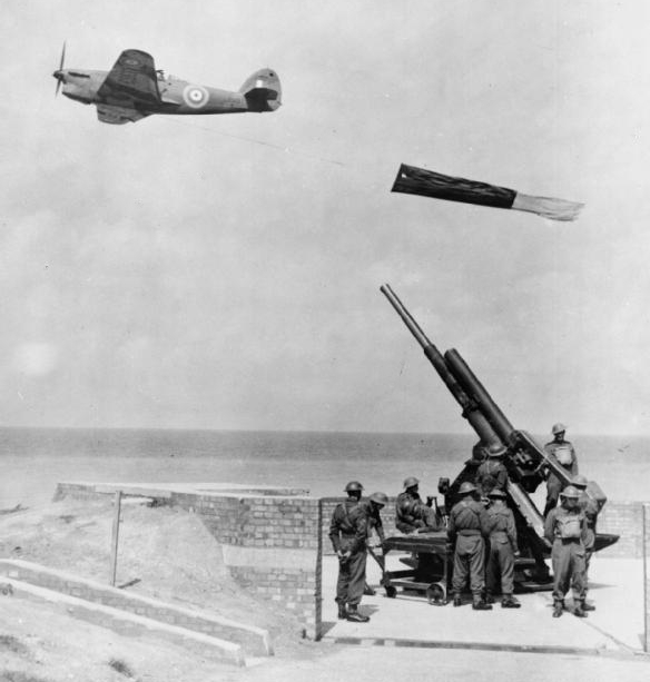
Anti-aircraft guns in action, ref tonp_028. Source: AAJLR.org
A first hand account of the Anti-Aircraft training is provided by Stanley Briggs, who found himself at Tonfanau in 1949 after initial training at Oswestry before shipping out to Egypt:
“After our initial training we were taken by train to Tonfanau on the West coast of Wales between Aberystwyth and Barmouth. This is the Cardigan Bay coastline area, the nearest town is Towyn. Only the beach, a railway line and a road separated us from the sea. We had the sea on one side and the Cader Idris mountain, inland, behind us.
That bay is massive and ideal for target practice for our 3.7 guns, but I have to say that I didn’t fancy the RAF pilots jobs of towing a sleeve behind their plane while National Servicemen were firing at them for practice with live rounds.
The Cader Idris was ideal for physical fitness too, which our physical fitness training instructor (PTI) put to good use, we were all eighteen years old and I have to say that personally I really enjoyed every minute of that part of it.

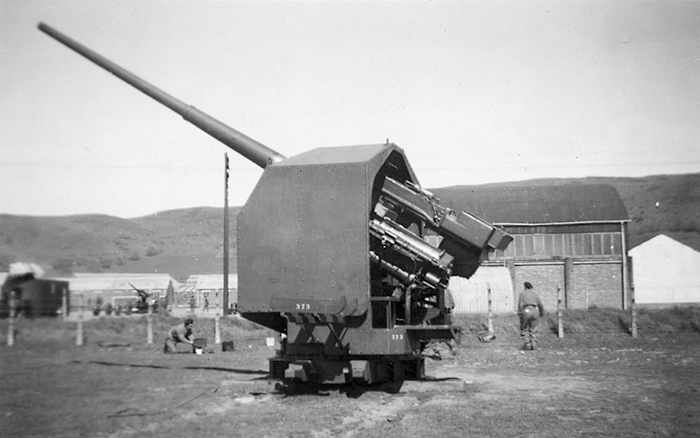
QF 3.7 inch anti-aircraft gun. Source: Wikipedia
The same discipline training continued at Tonfanau. It was here that we were confronted with the 3.7 gun, the Sergent in charge gave us all a good knowledge of how to maintain, dismantle and fire it. We all had to learn each others position on the gun in case one of the members of the team was killed in action (that was a sobering thought!)
The gun had a large barrel and was transported on a trailer consisting of four legs and wheels, towed by an AEC Matador lorry. Each leg had to be raised for the travelling position and lowered for the firing position. Other positions for the team of gunners were Traverse Operator, Elevation Operator, Tannoy Operator, and Ammunition Operator who had to lift a round up and put it in the breach and finally, the Sergeant who had the responsibility of firing. The first time I lifted a round of ammunition, my knees buckled as they were very heavy for a nine stone weakling, which I was at the time.”
There seems to have been a second level of artillery training at the site during this period, which took place after the heavy anti-aircraft guns had left, as described by Frank Yates who, at the age of 21, served with the Royal Artillery, Light Anti-Aircraft Battery and was attending the Officer Cadet course.

Aerial view of the remains of a small-bore firing range. Source: Coflein
“The camp was large, with brick and concrete hutments and purpose built dining halls, garages and the like, with the Garrison Theatre dominating the landscape. The camp had been Heavy AA before we moved in, but there were now two separate factions, the bulk of the Heavies had returned to their base Artillery depot at Oswestry, leaving a nucleus to run the firing camp. On the firing apron, between the sea and the railway, was an ex Naval 3” Gun, a weapon which fulfilled a dual role in the Navy. It had the reputation of producing the loudest ‘bang’ of any British gun and they once fired it for our benefit. It certainly lived up to its reputation! Before leaving the “Heavies” may I mention that they did not fire at a towed drogue, the tow plane would not have survived. There was talk of them using a radio controlled, unmanned target, a project easily arranged nowadays, but too unreliable in those days. . . .
After various demonstrations, witnessed from a head down position in the trench, the sticky bomb was shown. This was an anti tank weapon, although it would need a very brave or a very lucky man to get near enough to use it! It was a glass ball, like a small goldfish bowl, full of TNT and covered in stockinette which was impregnated with very powerful glue. The thing was provided with a handle, containing the fuse and firing mechanism. The bomb was smashed down onto the tank, deforming into a dome shape, a ‘shaped charge.’ The handle is released, the bomber runs away and the charge explodes in 4 seconds.”
Frank Yates goes on to describe what the camp was like to live in whilst he was there, and what sort of other training took place at the camp. It’s a very engaging read, so do have a look at his entry on the BBC WW2 website.

Bailey bridge over the Dysynni. Photograph by Edwin Lines 1990, ref. tonp_278. Source: AAJLR.org
I am assuming that the bailey bridge that used to cross the Dysynni dates to this period. It was still in situ in 1990 when former camp resident Edwin Lines took this photo. Bailey bridges were portable, pre-fabricated, truss bridges. The concept was developed between 1940 and 1941 by Sir Donald Bailey, a civil servant in the British War Office, for the military. It was a portable, pre-fabricated, truss bridge that was was made up of prefabricated panels and easily assembled parts. These could be carried by trucks and assembled by men without special equipment, using simple devices, such as ropes and pulleys, in a matter of hours. Once a bridge has done its job it can be disassembled, moved and rebuilt elsewhere. Bailey bridges proved their worth in the Second World War. The Tonfanau bridge ran parallel to the railway bridge, where today the railway bridge and the 2013 Tonfanau footbridge cross the Dysynni. As they were originally designed to be sufficiently robust to carry tanks, I assume that this one could carry light vehicles as well as pedestrians, which would have substantially improved access to the bright lights of Tywyn!
All Arms Junior Leaders’ Regiment 1959 – 1966

Entrance sign to the All Arms Junior Leader Regiment camp at Tonfanau. Source: 28 Days
The All Arms Junior Leaders’ Regiment (AAJLR) was established at Tonfanau in May 1959 and was disbanded in August 1966. Its purpose was to train boys aged between 15 and 17½ as future senior non-commissioned officers. Boys were sourced from various points within the British army.
My thanks to Ken Hart’s excellent AAJLR.org website as the source of the information on this page, which talks about the activities that they boys were engaged in on a term by term basis:

Entrance to Tonfanau Camp in about 1964, complete with postbox. By Brenda Keens, ref tonp_265. Source: AAJLR.org
“The year was split into 3 terms with a fresh intake of boys each term. The first term of each boys service was completely dedicated to turning these 15 and 16 year olds into disciplined soldiers. From the second term the prime emphasis was on education as all senior NCO’s were required to obtain the Army Certificate of Education [Class 1]. Alternate days were spent on Military Training which included Drill, Weapons Training, Driver Training, Map Reading and casually strolling over the gently rolling Brecon Beacons in wonderful Welsh weather fully equipped in thin denims, a poncho and carrying a webbing back pack. The boys final term included specialist training according to the arm or corps he intended to serve in as a senior soldier. Mixed in with all this there was sport, adventure training, outward bound courses and inter company competitions including the Rhyl cup.
Every boy also took part in the ‘Duke of Edinburgh’s Award scheme’ and to this end most evenings were spent doing a large number of hobbies. The rest of the time was spent cleaning the barracks or doing your personal kit whilst huddled round a coal burning pot-bellied stove in a futile attempt to keep warm.”
There’s a whole page on the AAJLR website dedicated memories of Lance Corporal Fagg who, in charge of the Guardhouse, was the terror of most of the boys at the site. These short accounts bring daily existence at the camp to vivid life. One contributor to the site, John Sabini, wrote the following, which is a nice introduction to an awe-inspiring individual. Other accounts are often a lot more earthy!

The idea of over-wintering in one of those flimsy huts makes my All Arms Junior Leaders Regiment plaque (Photograph by Peter Woolridge, ref. cphoto_153.) Source: AAJLR.org
L/Cpl Fagg re-joined 3 RGJ sometime around 1967 in Iserlon Germany. Due to a quirk of fate I was allocated to a room with him (thankfully for only a couple of nights) when I moved from a Rifle Company to the Battalion Signals Platoon.
Did you know his first name was Hermes (a bit like being a boy named Sue) which could explain his bad attitude to his fellow human beings! He was a cookhouse NCO orderly in charge of tea urns and spud bashing. His nickname in the battalion was ‘Dog-End’. He disappeared mid way through our tour in Germany and I am not sure where he went; this was my last sighting of L/Cpl Hermes (Dog-End) Fagg, 3rd Green Jackets, The Rifle Brigade.
As he is probably now in the great guard room in the sky, I am sure he would appreciate that he is immortalised (!) on the AAJLR website and that he made such a lasting impression on all those who had the misfortune to cross his path.
The idea of over-wintering in one of those flimsy huts makes my blood run cold!
PYTHON site 1968
In 1968 the camp was one of the designated sites for the PYTHON project, a plan for continuity of government in Wales in the event of nuclear war. There’s not much information on the web on the subject of PYTHON, and what is here comes from a Wikipedia article, the main source of which was the book The Secret State: Preparing For The Worst 1945 – 2010 by Peter Hennessy (Penguin 2014). The idea was to disperse government officials to various locations instead of centralizing them in one place. Sites were chosen on the basis of existing accommodation, independence from the national power and water grids, nuclear fallout protection and distance from likely targets. Tonfanau Army Camp was temporarily designated as the PYTHON location for Wales. Each PYTHON group would be supported by dispersed sections of the United Kingdom Supply Agency and the National Air Transport Agency. Aberystwyth University replaced Tonfanau as the preferred location soon afterwards, which is probably just as well as I don’t see government ministers surviving a mid-Wales winter in those huts, never mind a nuclear war!
Uganda-Asia refugee camp 1972 – 1973
The camp was re-opened very briefly to house Uganda-Asian refugees. Uganda had been a British colony, and while India was still also a British colony, the British government had encouraged Indian professionals to travel to Uganda to seek prosperity by helping with railway construction and the overall improvement of the economy. The offer was taken up with enthusiasm, with thousands of Indian families settling in Uganda and making good livings. Their successes were at first welcomed and then regarded with suspicion by Ugandan communities. In 1962, Uganda was granted independence and in 1971, military leader Idi Amin staged a coup and came into power. Only a year later, on August 5th 1972, Amin inaugurated a policy of economic reform, an “economic war” in his own words, that included the expropriation of properties owned by Asians and Europeans. He gave Ugandan Asians 90 days noticed to leave the country, calling them “economic bloodsuckers,” claiming that they were draining the wealth of the nation at the expense of native Ugandans. Their departure was hastened at gunpoint, giving them little doubt about their fate should they stay.
Of 80,000 Ugandan-Asian exiles, nearly 29,000 with UK passports came to Britain. The official Ugandan Resettlement Board (URB) had the thankless task of providing them with temporary accommodation until permanent resettlement could be arranged, and took the decision to place them in refugee camps. Tonfanau was one of sixteen refugee camps chosen for the task.

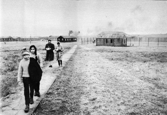
The entrance to the Cafe at the Tonfanau refugee camp, when the camp was in ruins. The bright, lively scene is very much at odds with the drab surroundings, and gives a sense of how hard it must have been to relocate to such a bleak place. Source: 28 Days website.
Tonfanau camp had been closed for nearly four years when it was suddenly dragged back into service to house over 3000 of these refugees for a period of six months, and must have been in somewhat poor condition. It was, in fact, only chosen as a last resort when other locations had been rejected. Captain Freddy Fuller was put in charge of the camp, probably very well qualified as he had spent 25 years running an Outward Bound school. Volunteers from the surrounding community formed a welcome group to provide the newcomers with essentials, including clothes and toys for the children, and each volunteer was instructed to assign themselves to individual families to assist them. However, there was very little furniture and most of the exiles had to sit on the floor. It must have been a freezing, bleak and worrying winter in those bare huts, and Jordanna Bailkin’s book Unsettled repeats James Hamilton-Paterson’s poignant report on the camp, seeing “miserable people in their gorgeous saris” huddling in Tywyn’s two fish and chip shops for warmth. Bailkin describes how donations of clothes resulted in some peculiar and probably difficult encounters: “Adding to the bizarre atmosphere, most of the clothes donated to Tonfanau through the WRVS [Women’s Royal Voluntary Service] were from the 1960s. Chandrika Joshi, whose family stayed at Tonfanau for five or six months when she was 14 years old, found herself dressed in a brown rubber minidress: “Such outfits went largely unnoticed in camp, where everyone was similarly attired, but more ‘out of place’ when she went to a school a few weeks later” (again quoted from Jordanna Bailkin’s book Unsettled – see Sources at end).
Fortunately, by the spring of 1973, all had been re-homed, hopefully in much better conditions, elsewhere in the UK.
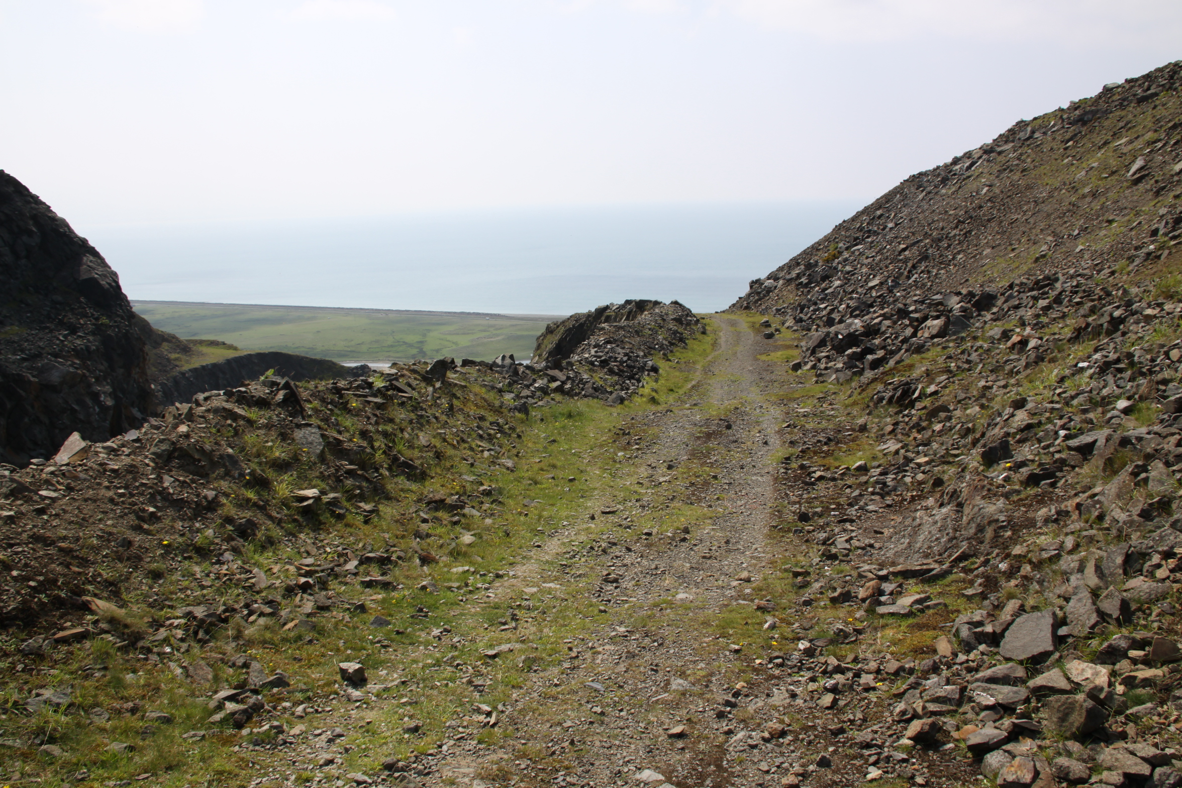
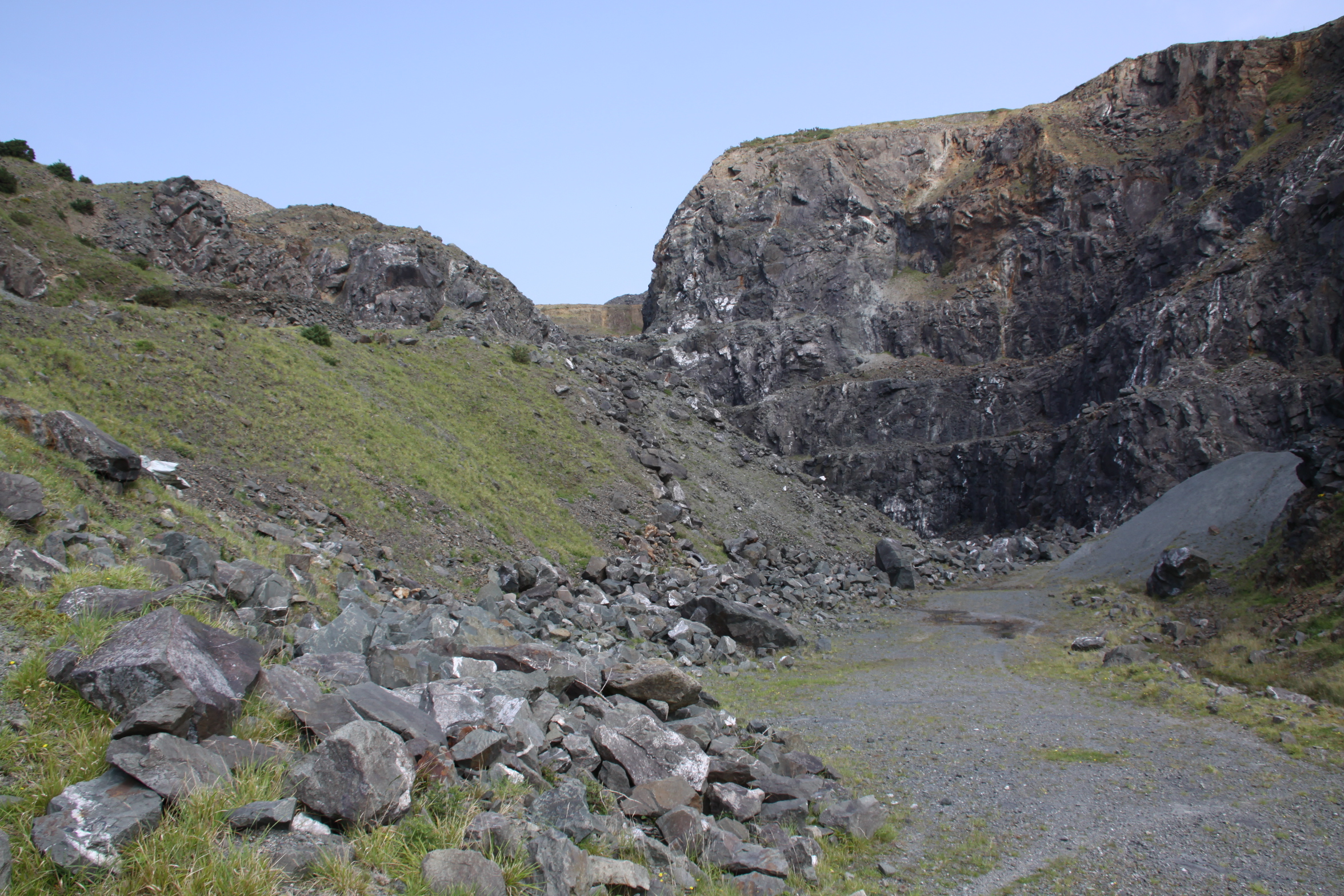
Demolition of the site
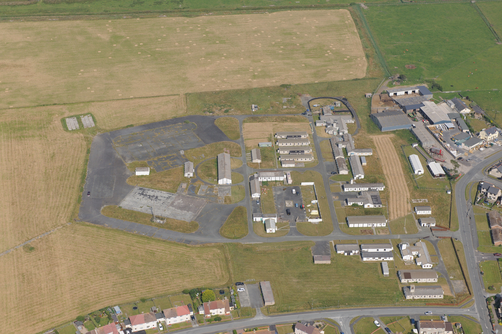
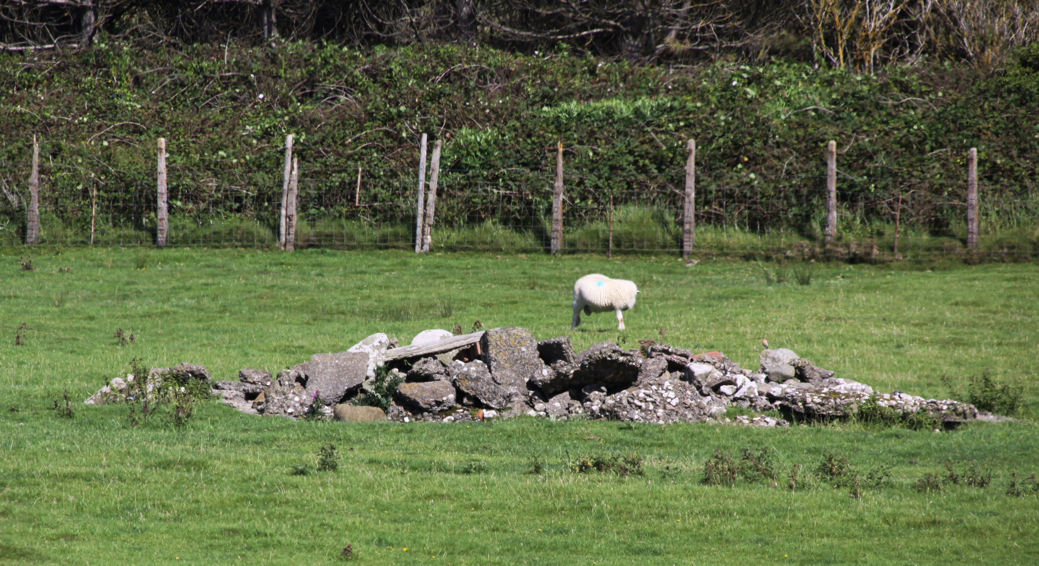
 I have been unable to find when the site was finally demolished, or why some buildings were left in tact. It was probably done between the late 1980s and early 90s. Apart from a bare handful of surviving buildings that survived the demolition, it was a pretty thorough job. What does survive gives a very good idea of both how ephemeral these buildings were intended to be, but also how enduring they proved to be before they were intentionally removed.
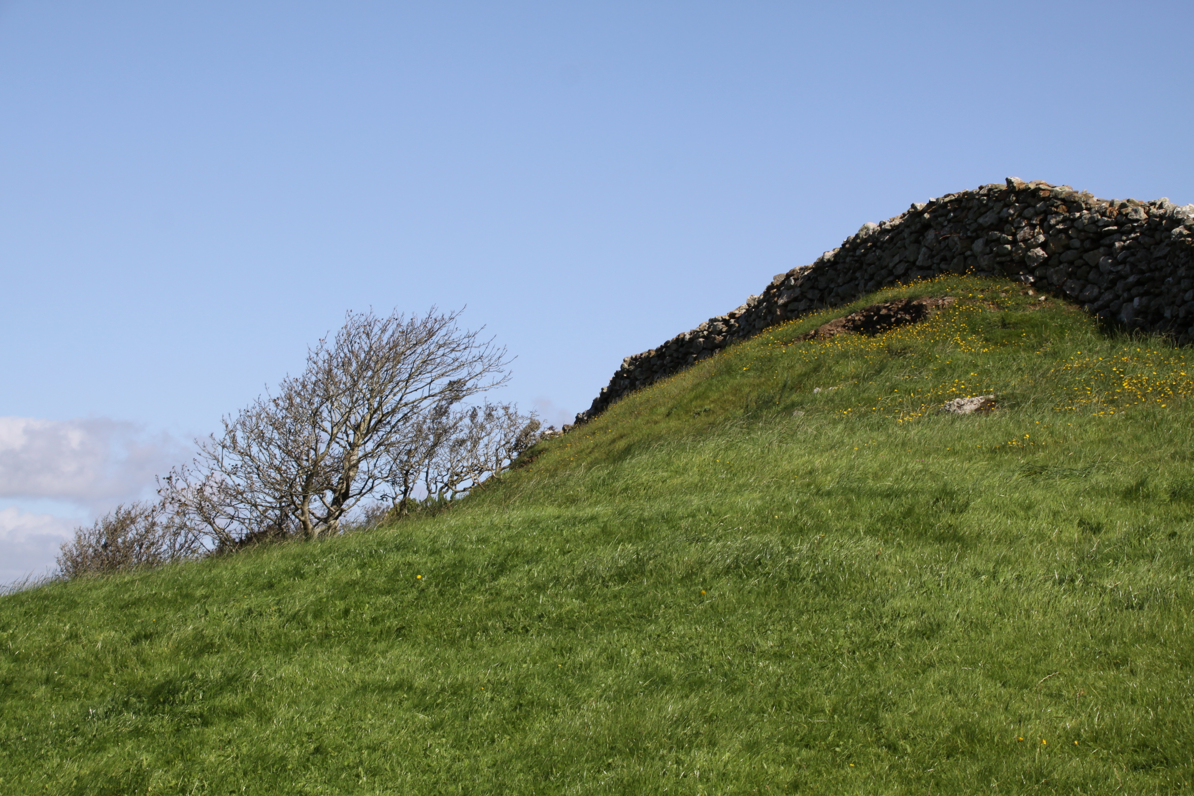
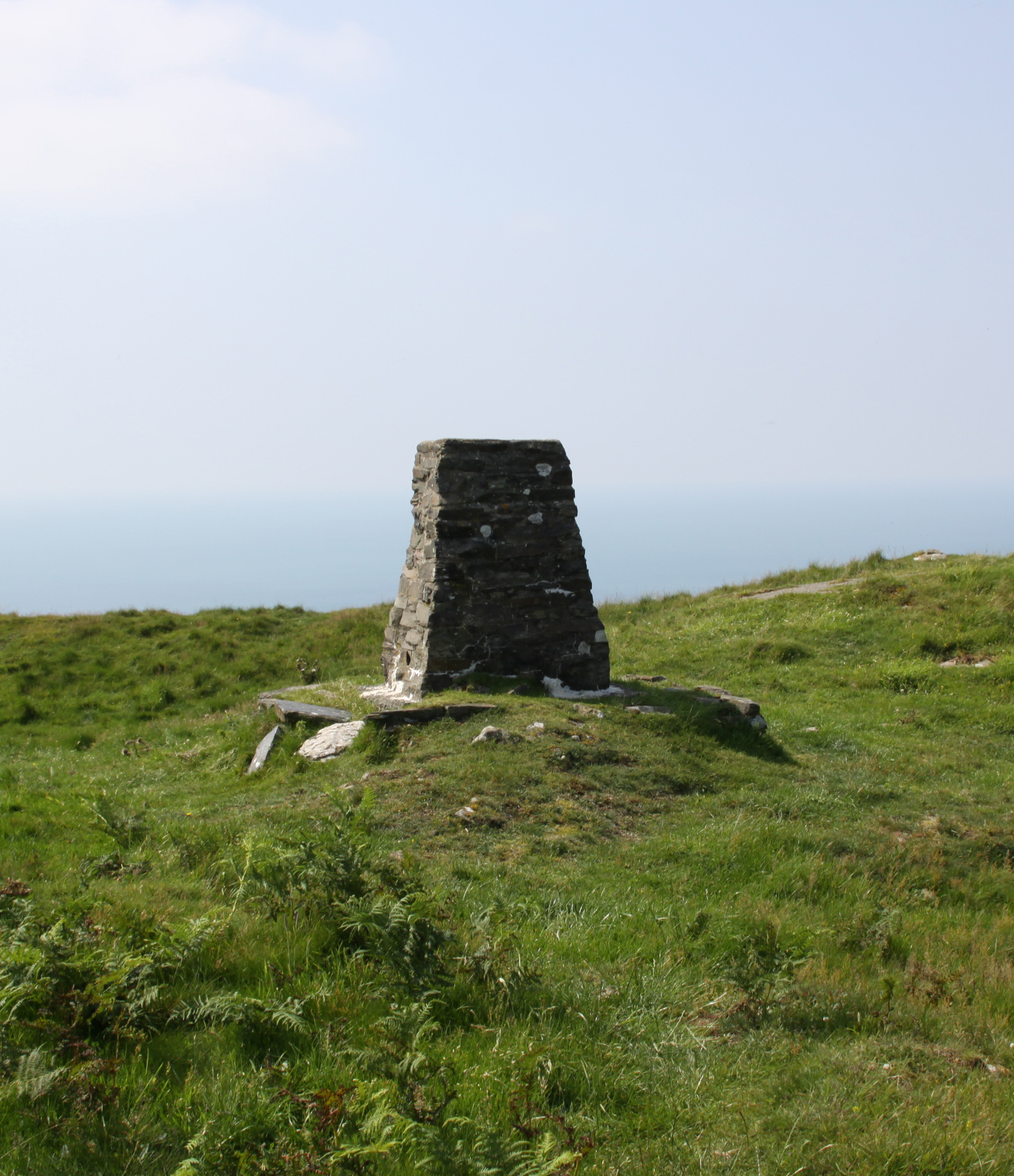
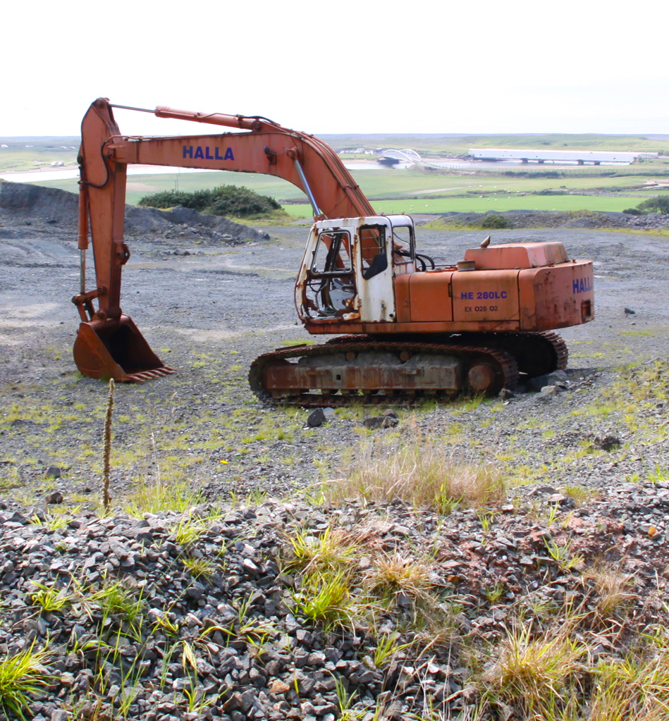
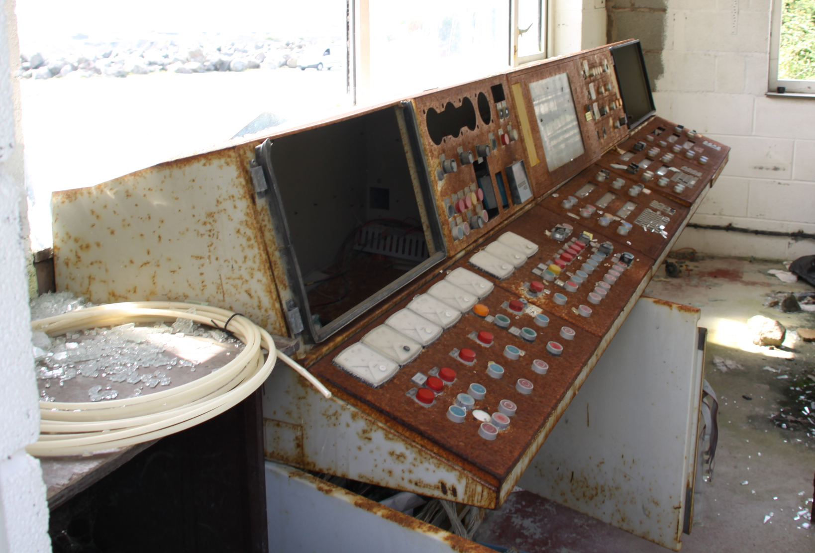
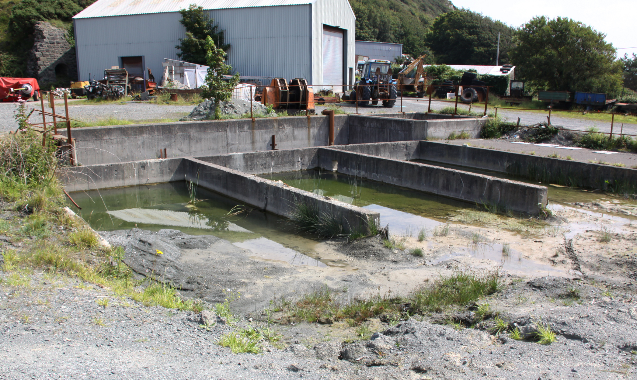
Part of the site is used, at the time of writing, by Tonfanau Road Racing for motorcycle racing on a 1-mile track during the summer, run by Crewe and South Cheshire Motor Club. A 2010 proposal to use the land for a new prison never came to fruition. Most of the land has been returned to farm use and sheep now roam freely over most of it.
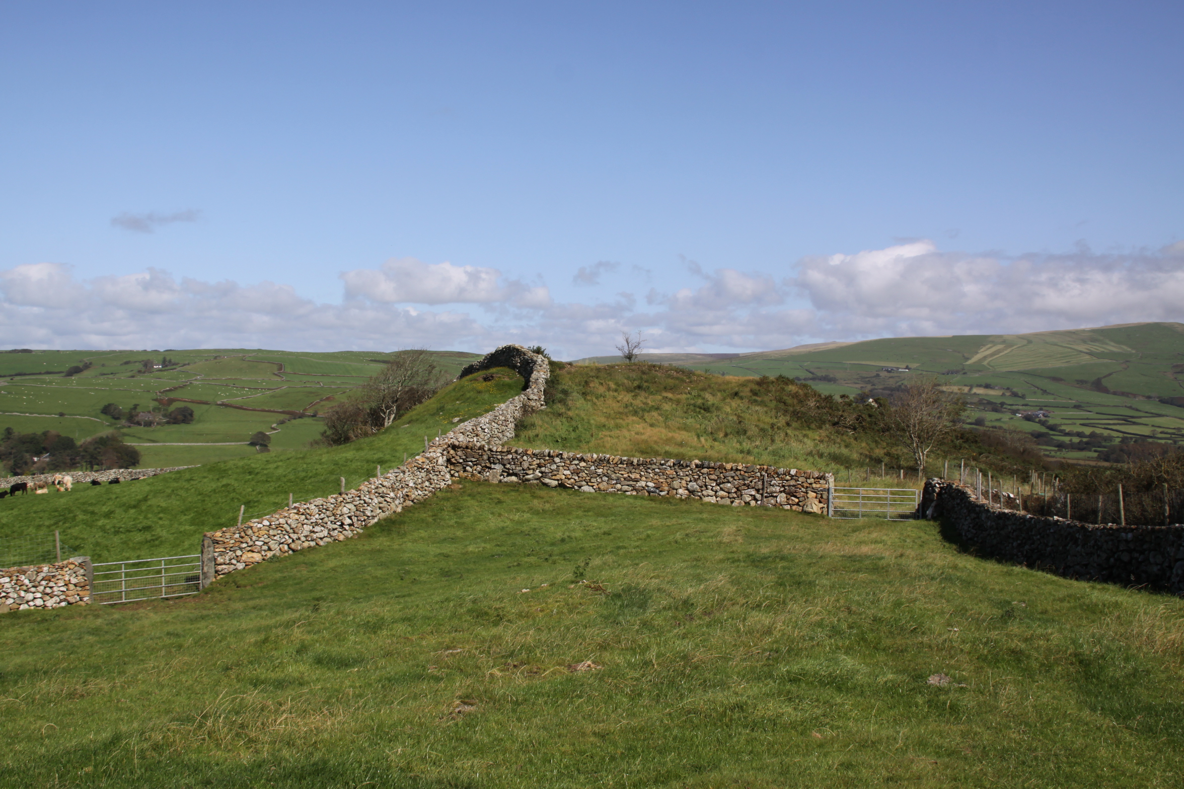
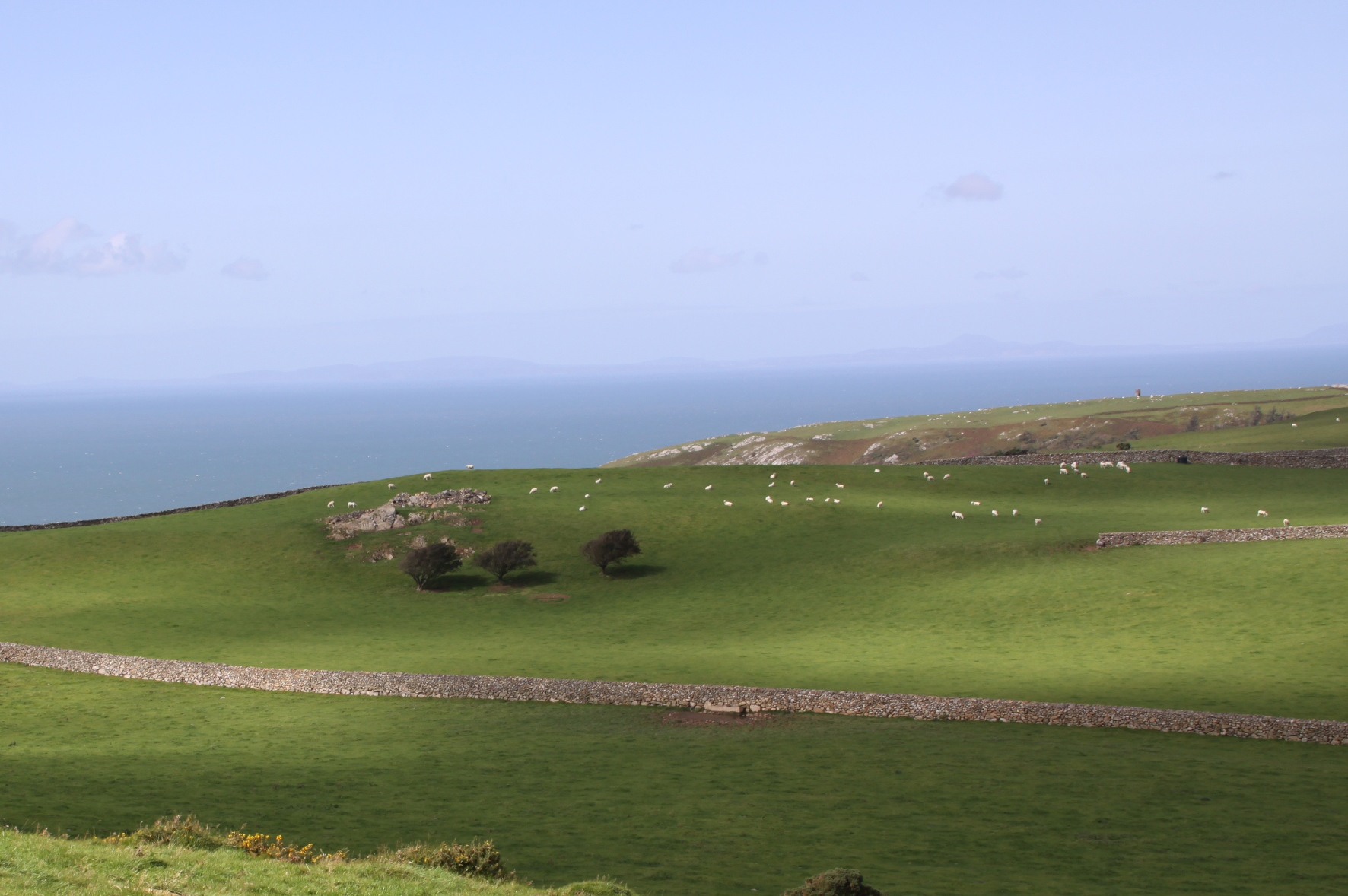
Below are a couple more of my photographs of what’s left of the site today. For many more from all periods, see the substantial collection contributed by many volunteers on the All Arms Junior Leaders Regiment website.


Sources:
Books and papers
Jordanna Bailkin 2018. Unsettled: Refugee Camps and the Making of Multicultural Britain. Oxford University Press
Becky Taylor 2018. Good Citizens? Ugandan Asians, Volunteers and ‘Race’ Relations in 1970s Britain. History Workshop Journal, Volume 85, Spring 2018, p.120–141
https://academic.oup.com/hwj/article/doi/10.1093/hwj/dbx055/4818096
Roy Sloan 1991. Wings of War over Gywnedd. Aviation in Gwynedd during the World War II. Gwasg Carreg Gwalch
Websites
28 Days Later Urban Exploration
https://www.28dayslater.co.uk/threads/tonfanau-military-camp-tonfanau-nr-tywyn-february-2015.94390/
40th Anniversary for Ugandan Asian Refugees in Wales
https://www.itv.com/news/wales/2012-07-31/40th-anniversary-for-ugandan-asian-refugees-in-wales/
Ken Hart’s All Arms Junior Leaders Regiment (AAJLR) website
About: http://www.aajlr.org/about/about_main.html
Tonfanau camp: http://www.aajlr.org/tonfanau/tonfanau_main.html
Memories of Frank Yates, Royal Artillery, Light Anti Aircraft Battery. Chapter 17, BBC World War 2 People’s War. Article ID A7375845
https://www.bbc.co.uk/history/ww2peopleswar/stories/45/a7375845.shtml
Stanley Briggs: Then and Now
http://www.stanleybriggs.com/art_nat_service1.html
Tonfanau Road Racing
https://www.tonfanauroadracing.co.uk/
Wikipedia article about PYTHON
https://en.wikipedia.org/wiki/PYTHON#Locations


.jpg)