Sunshine! No rain! Oh the bliss

For the first time in days, the rain stopped on Sunday, the sun came out and it was a beautiful autumn day.  It was quite chilly, but not sufficient to deter people from emerging from their homes to enjoy the reprieve.   I didn’t go for a long walk, but it was excellent just to get out.  I walked down Balkan Hill, and turned left where it turns right, taking the footpath along the side of the Holiday Village, down into Penhelig.  From there I walked to Picnic Island.  The tide was in, but there is a stretch of uneven wall along which you can make your way if relatively sure-footed, and this bypasses the section of the footpath that is underwater.  Even if you fall off, it’s only a short drop into very shallow water.

In the summer this is a busy walk, and the estuary is busy with Outward Bound activities, but today there were absolutely no signs of human life.  It was incredibly peaceful, an ideal day for stopping, sitting and just listening to the sound of the water lapping on the rocks.

Leaflet: Precipice Walk (Dolgellau area)

If you find a dryish day in amongst the November downpours, or just want to keep a few walks in mind for summer, this is a good one.  Plus, you get two who Iron Age hillforts for the price of one, which can’t be bad 🙂  I haven’t done this for years, and cannot find the photos, but if this is a terrific walk, not at all strenuous, in spite of the stunning views that you are rewarded with over Cader Idris, the Mawddach valley and estuary, and the surrounding hills.  Incorporated into the walk is also a lovely lake, actually a reservoir for supplying water to Dolgellau, at the foot of the hill on the carpark side.  Updated info is below the leaftlet, plus a little bit about the hillforts.  You can also download the PDF here.

For those who are using GPS, I’ve noted the postcode on the leaflet above (LL40 2NG).  There’s a good sized carpark.

Ordnance Survey map showing the Precipice Walk

The walk is on private land, so access is at the courtesy of the Nannau Estate, which allows public access via the marked footpaths.  It is a very easy route to follow with easy gradients, mostly level once you get to the main walk, and the route around the hill is a circular one, as the name implies.  It is quite narrow and not recommended for anyone with vertigo.  The return leg takes walkers along the reservoir, Llyn Cynwch.   It takes about an hour an a bit, on average.

The Foel Faner hillfort on the Precipice Walk requires a small diversion from the main route, also accessible via a footpath, and well marked (marked as “camp” on the above leaflet).  This also provides some more great views.  The hillfort is an irregular oval and has a single line of defenses, quite substantially built and easy to identify (unlike some hillforts in Gwynedd).  The entrance is at the northeast, about 12ft wide, and has an additional bank to protect it.  It has very few natural defense, and the main advantage of the hillfort’s position is the visibility over a very wide area.

The second hillfort is on the hill opposite the precipice walk, so you can use the same car park and head over the road and follow a gentle footpath that runs along the base of the hill, Foel Offrwm.  When you reach a wall, turn right and follow it for about half a mile, which takes you to the entrance of the hillfort, but between where the wall ends and the hillfort begins is a steep stretch of open hillside, a much more ambitious walk than the Precipice Walk.  Unlike Foel Faner, the location is strategically good, and the views are probably even better.  There is a single line of drystone defence that is reinforced with an additional line of defence to the southeast.  There is a single in-turned entrance to the east.  Well worth a visit.


Leaflet: The Submerged Forest at Borth

I found another batch of leaflets today during a sort-out, and will post some of them in the coming weeks in case they are of interest.  I’ve never seen the submerged forest at Borth, which needs a very low tide to see it properly, but it’s now firmly on my radar.  As well as previewing the leaflet in the images below, you can download it as a PDF by clicking here:  Submerged forest leaflet

An autumn visitor: A sleepy toad attempting to hibernate on my patio

I keep some plants in a gravel tray on my patio, mainly herbs, and during an autumn sort-out, which involved moving the plants out of the gravel tray so that I could clean it, I disturbed this common toad (Bufo bufo), which was presumably looking for an undisturbed corner in which to settle down for an undisturbed hibernation.  Sadly he/she chose quite the wrong place for a winter stop-over.  It was completely unfazed by being exposed, and sat almost motionless.  In fact, at first I was by no means sure it was alive.  I left it alone, and eventually it moved a few limbs, and later on had vanished from view.

Although this individual is grey, they can be any good camouflage colours, including brown, olive green and sandy-coloured.  Although they mate in or by water, they move away from aquatic environments, making their homes in woodland and similar shady environments where they prefer damp log and leaf piles.  They make shallow burrows from which they forage at night for insects, spiders, centipedes, slugs, worms and ants etc, catching them on long, sticky tongues.  This diet makes them very friendly to gardeners, and a toad is always a welcome resident.  They return to the pond in which they were spawned to mate.  Eggs are laid in long strings, which can be distinguished from frog spawn which are laid in clumps.

Hopefully it relocated to somewhere in the garden, where there are plenty of nice damp nooks and crannies for a nice quiet hibernation.  I must say, on colder, windier and rainier days, the idea of going to bed for the winter doesn’t seem like an absolutely terrible lifestyle choice 🙂


A gloomy day alleviated by finding and cooking a delicious parasol mushroom

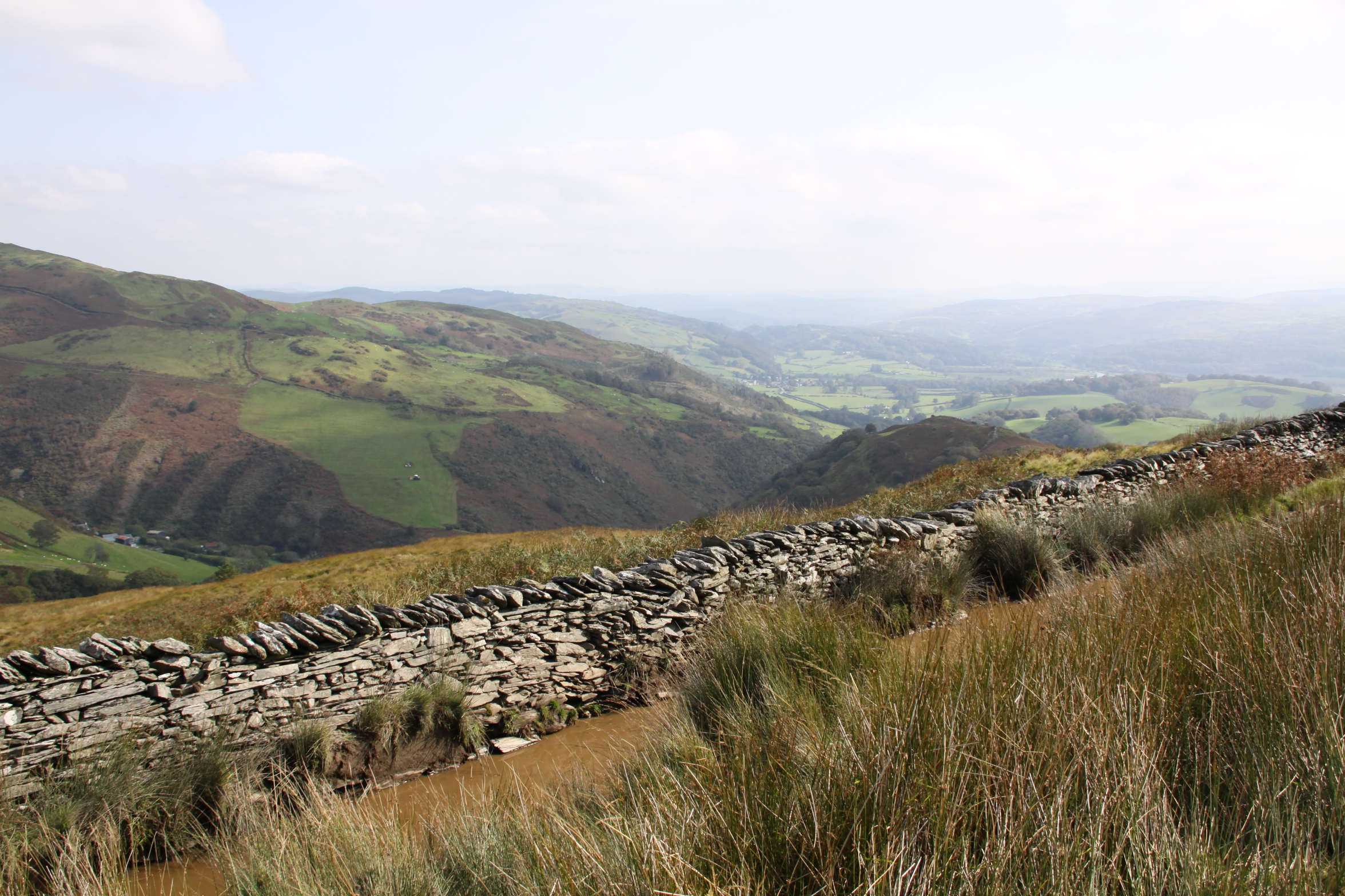
Well the news today is first that in Wales we are going back into lockdown for a 17-day “firebreak” period from Friday 23rd October until Monday 9th November.  Second, according to the NHS Covid app loaded on my phone, the LL35 postcode (Aberdovey) is now a High Risk area for Covid.  Not terribly surprising, though, after the summer influx.  Hey ho.

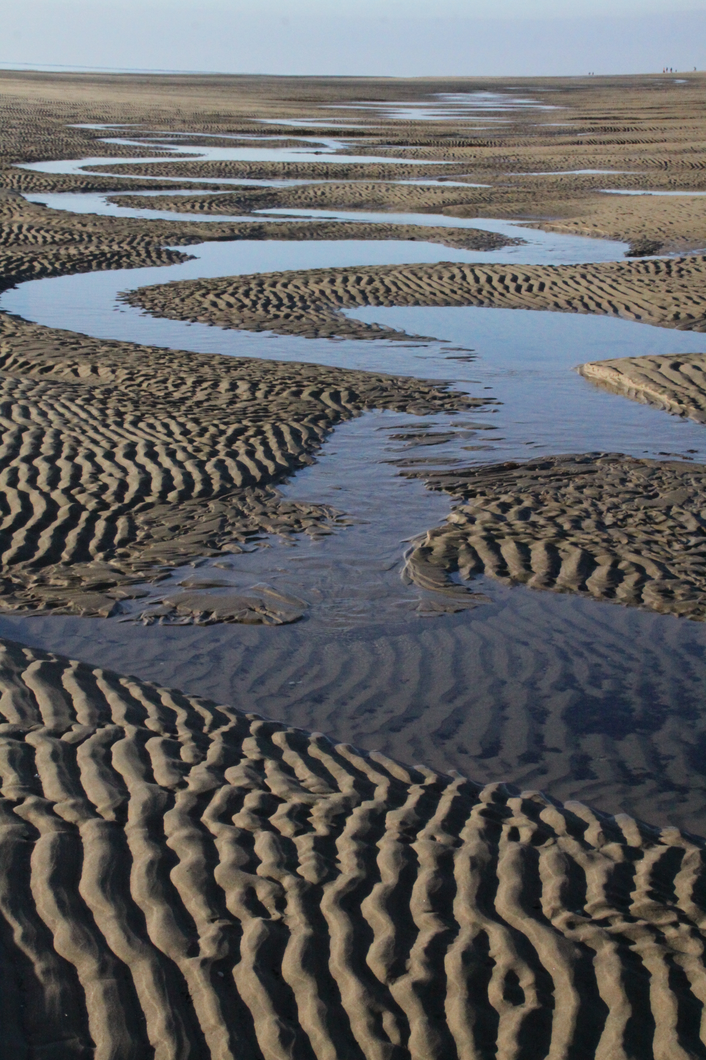
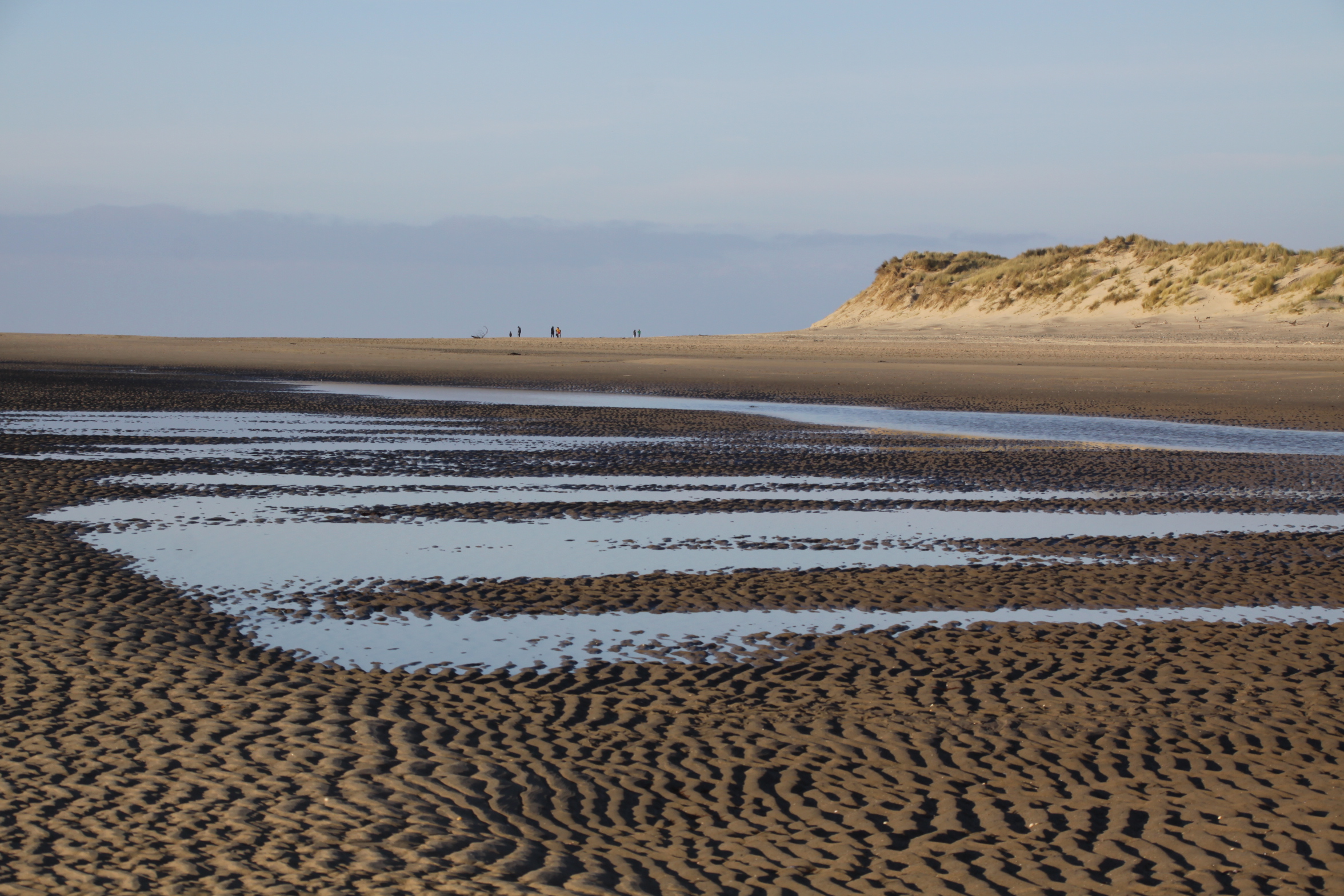
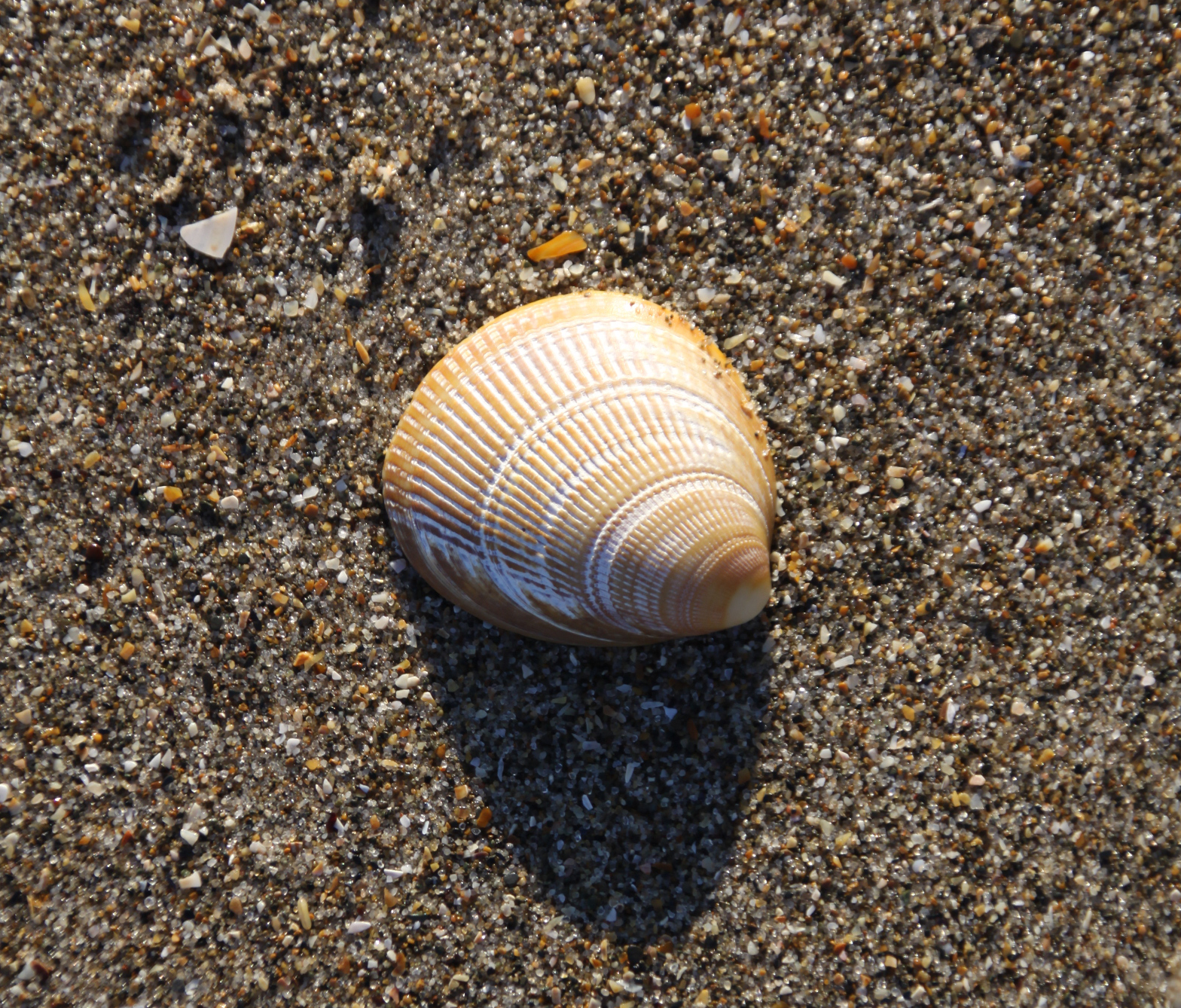
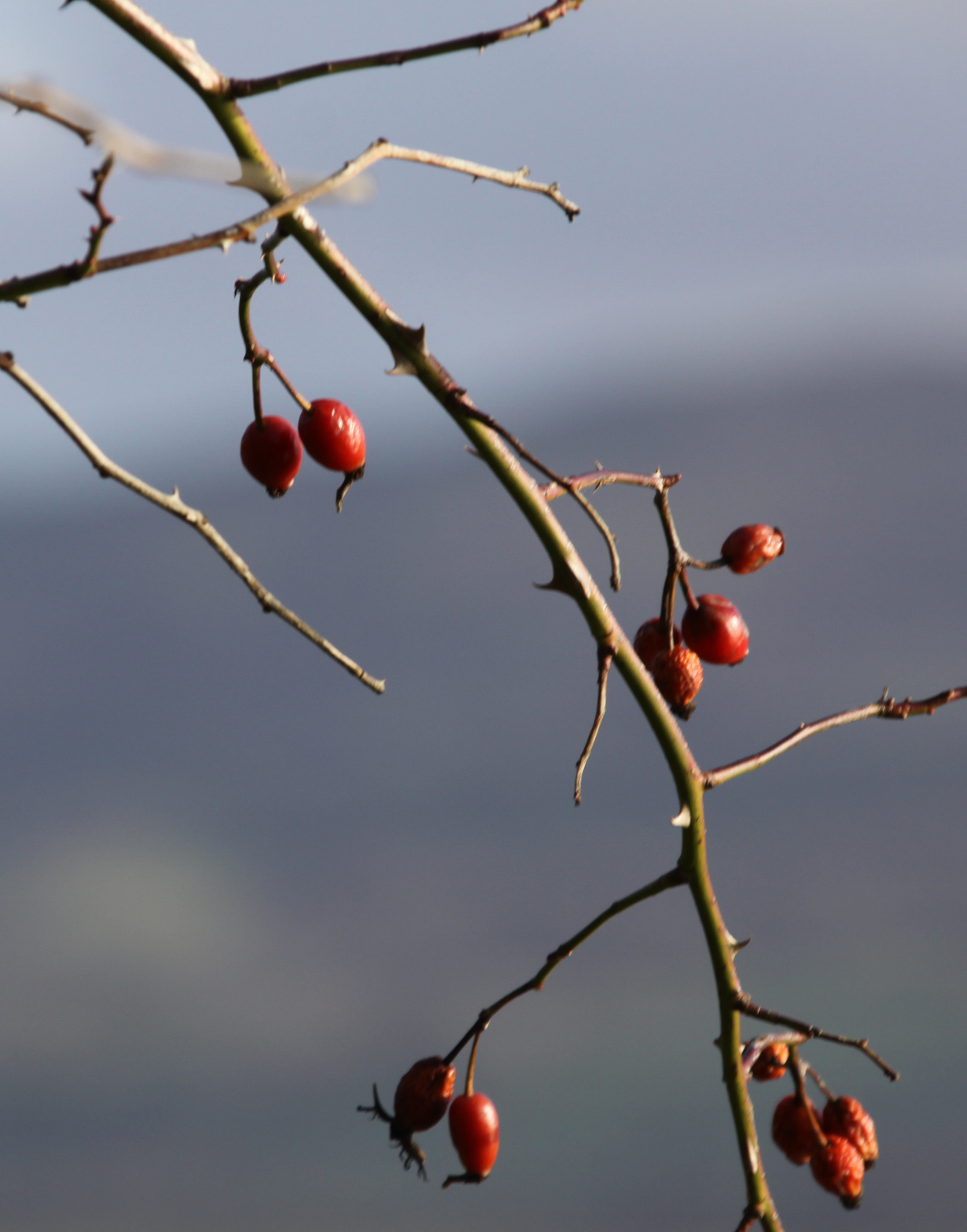
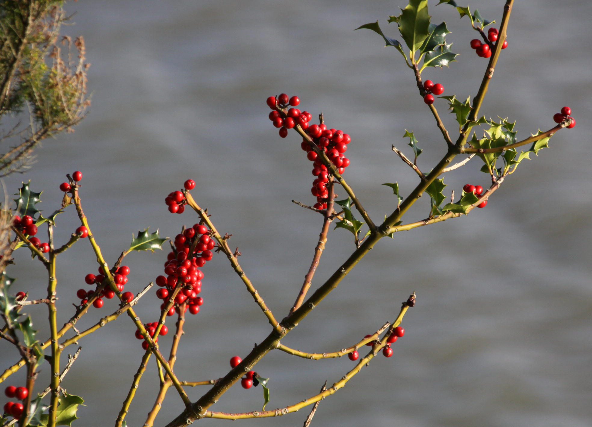
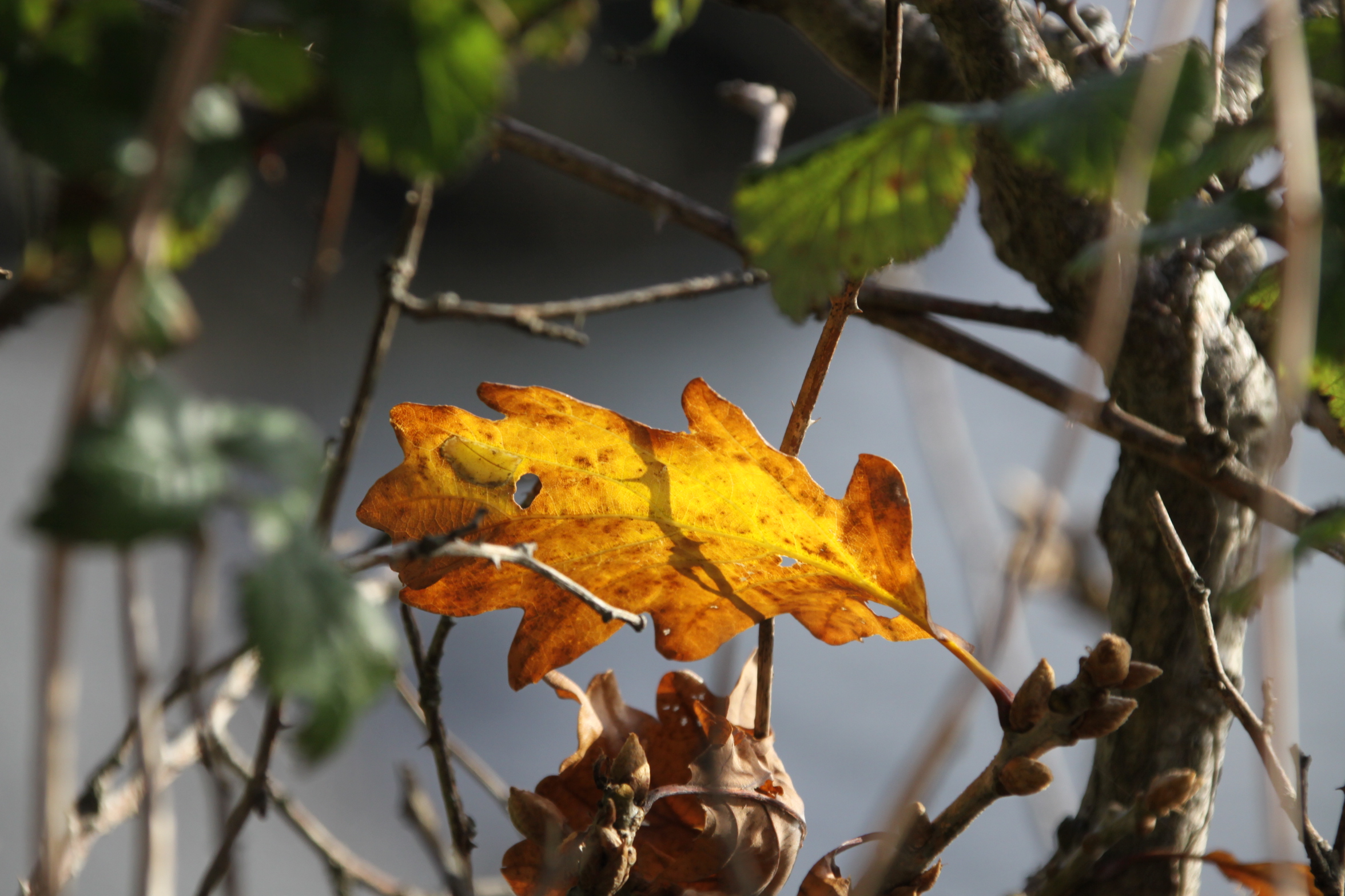
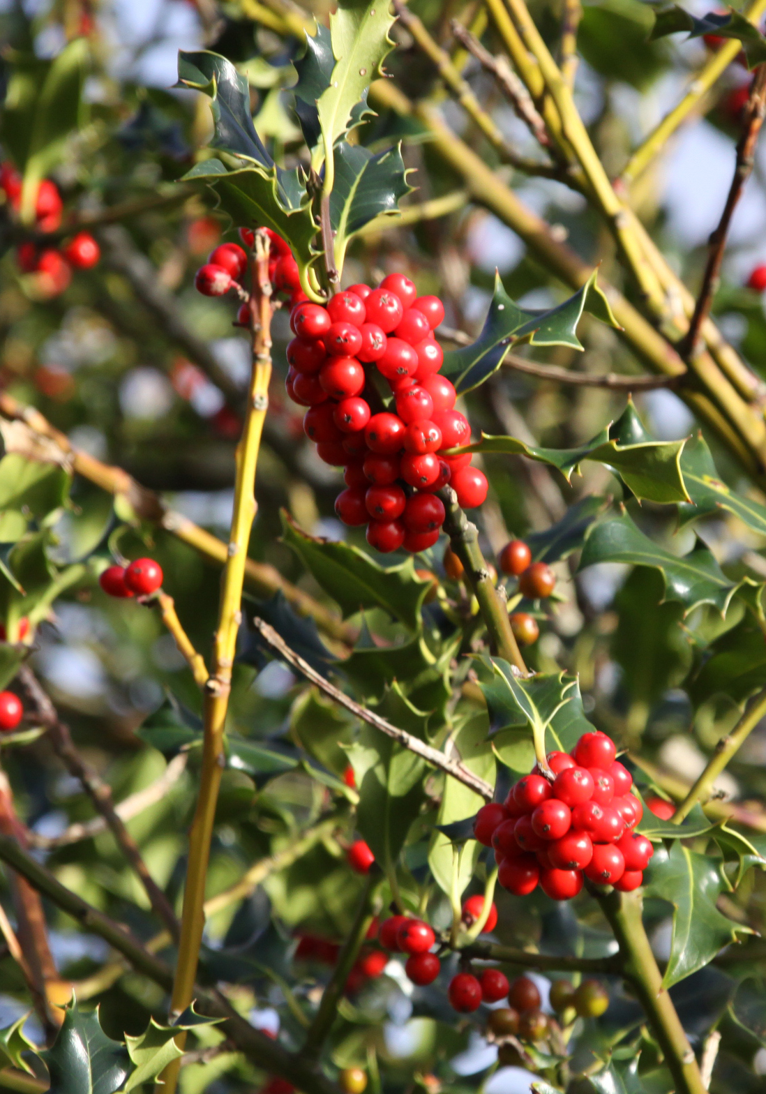
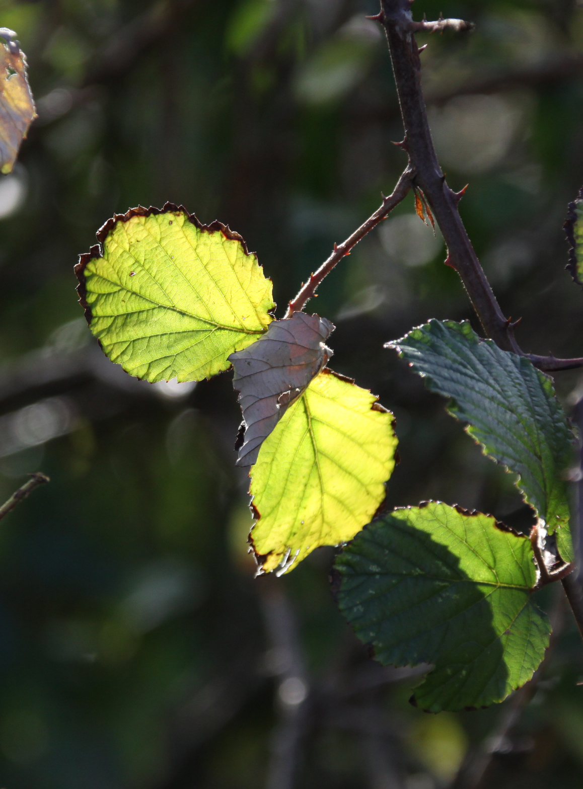
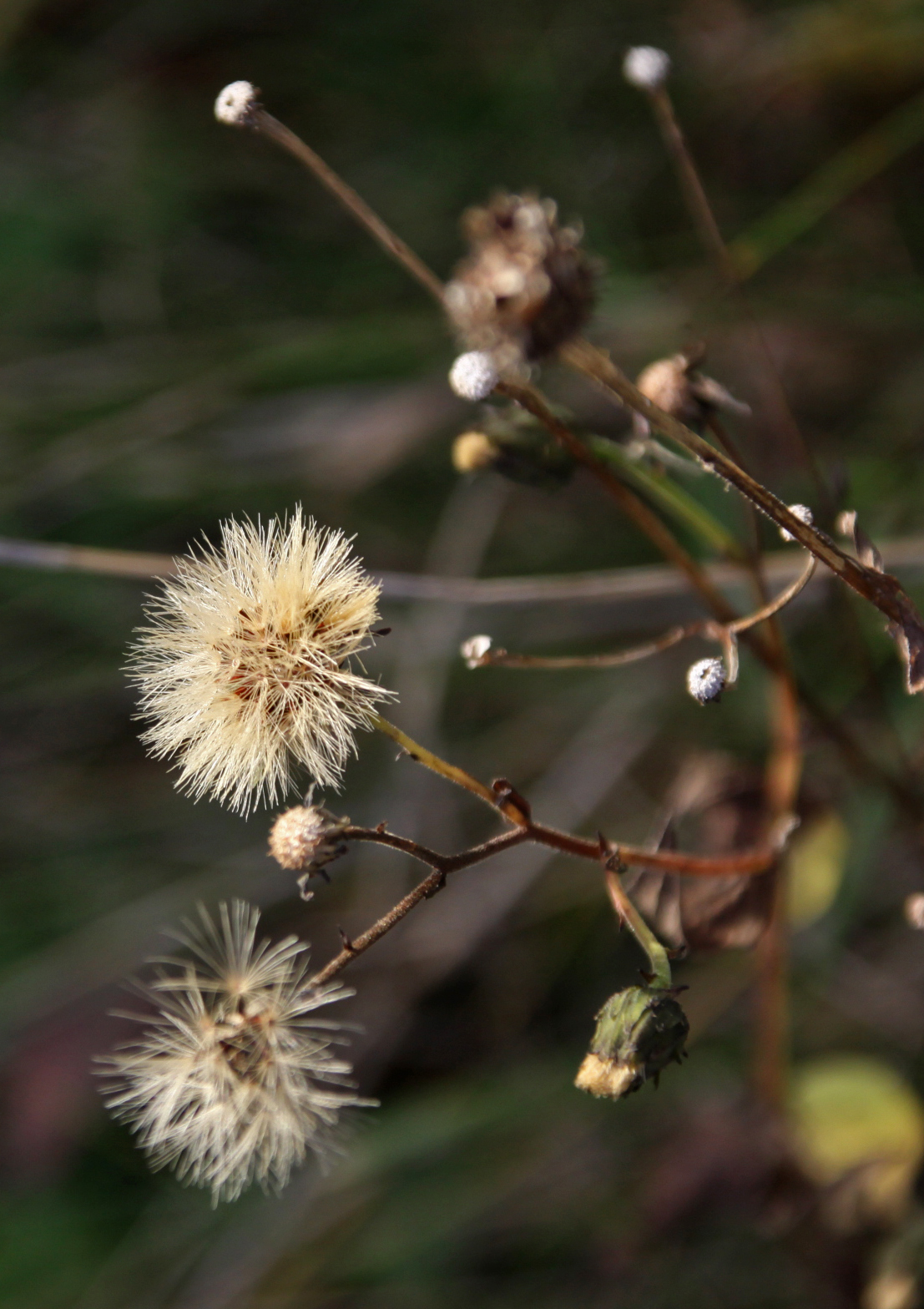
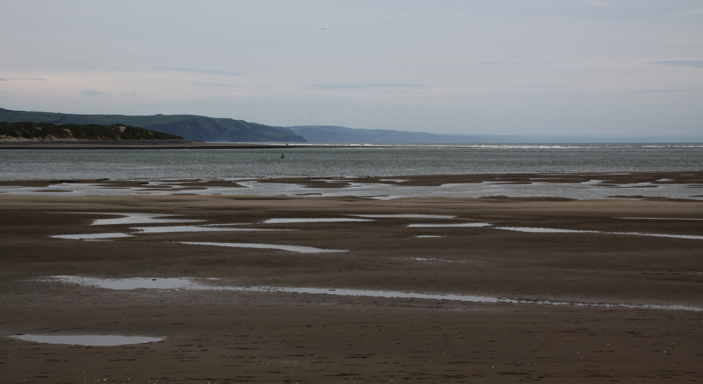
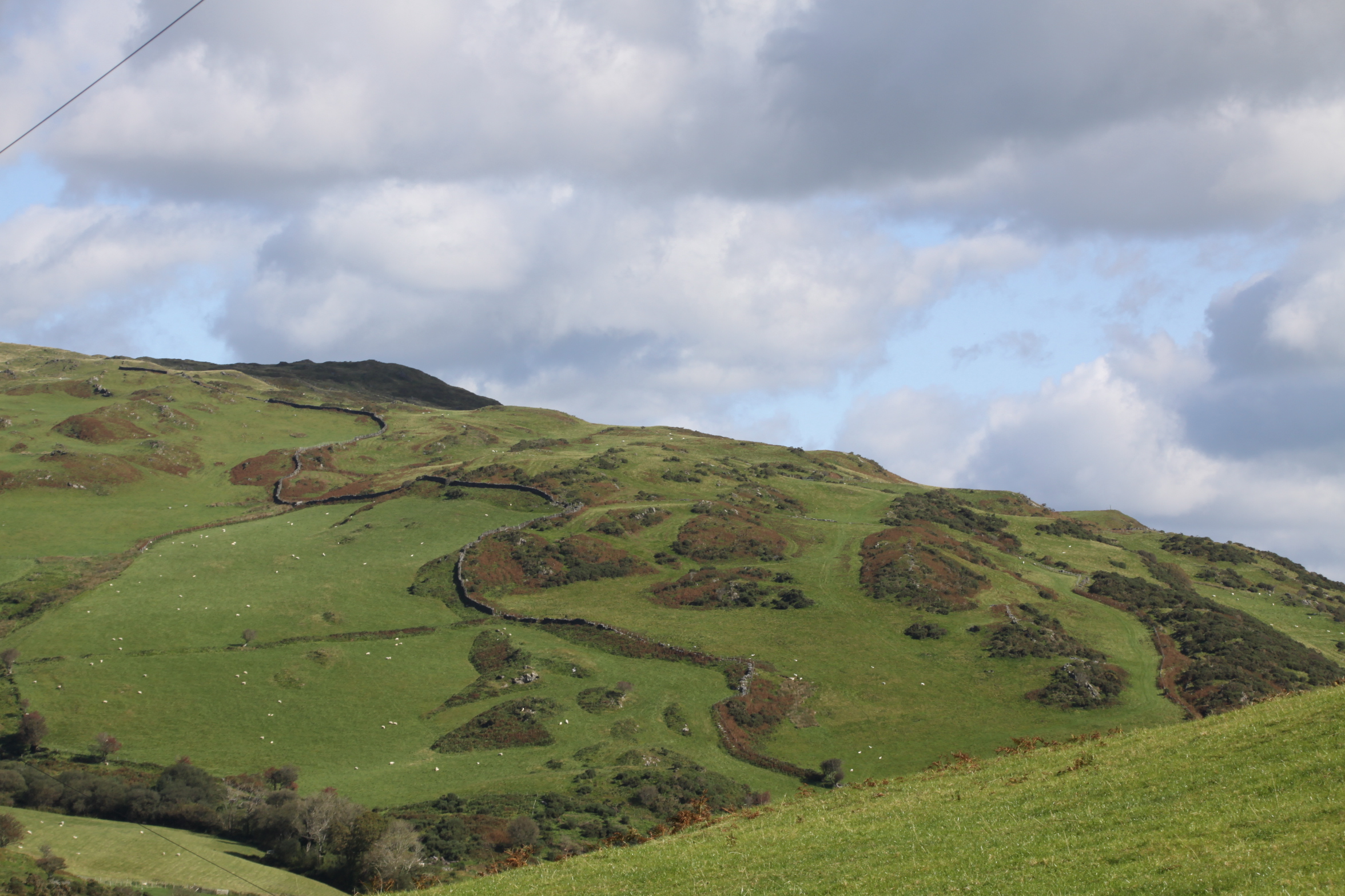
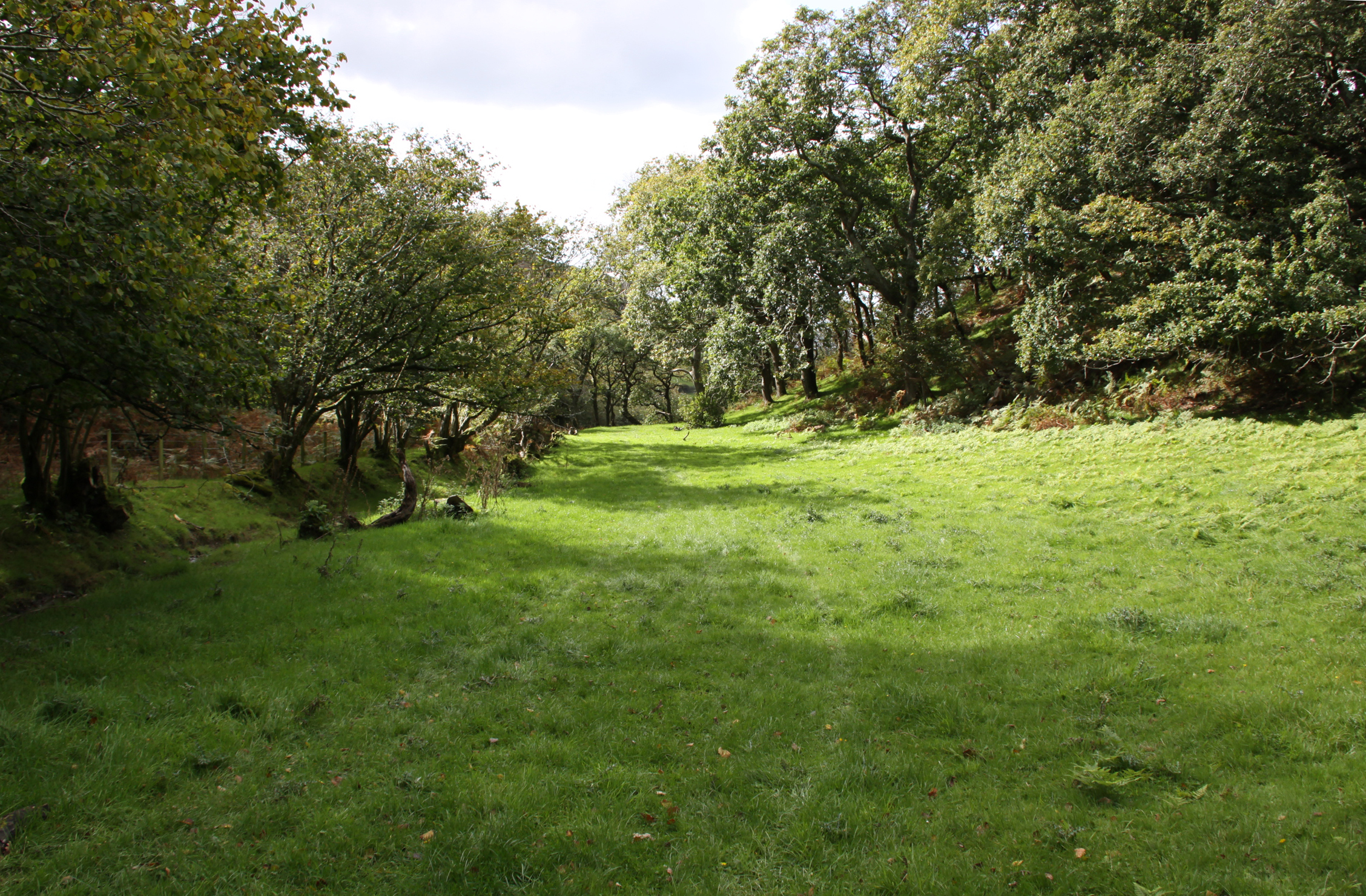
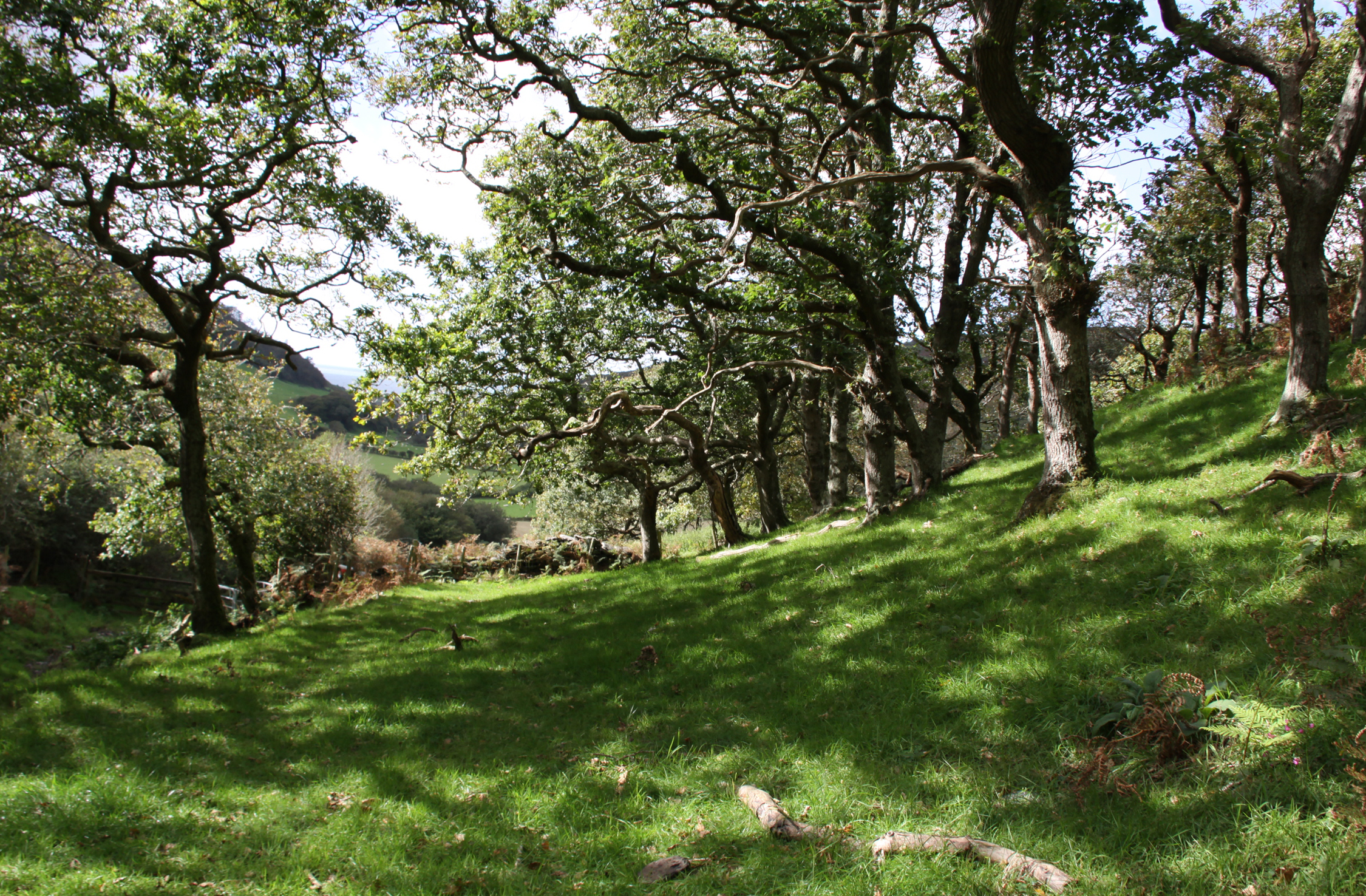
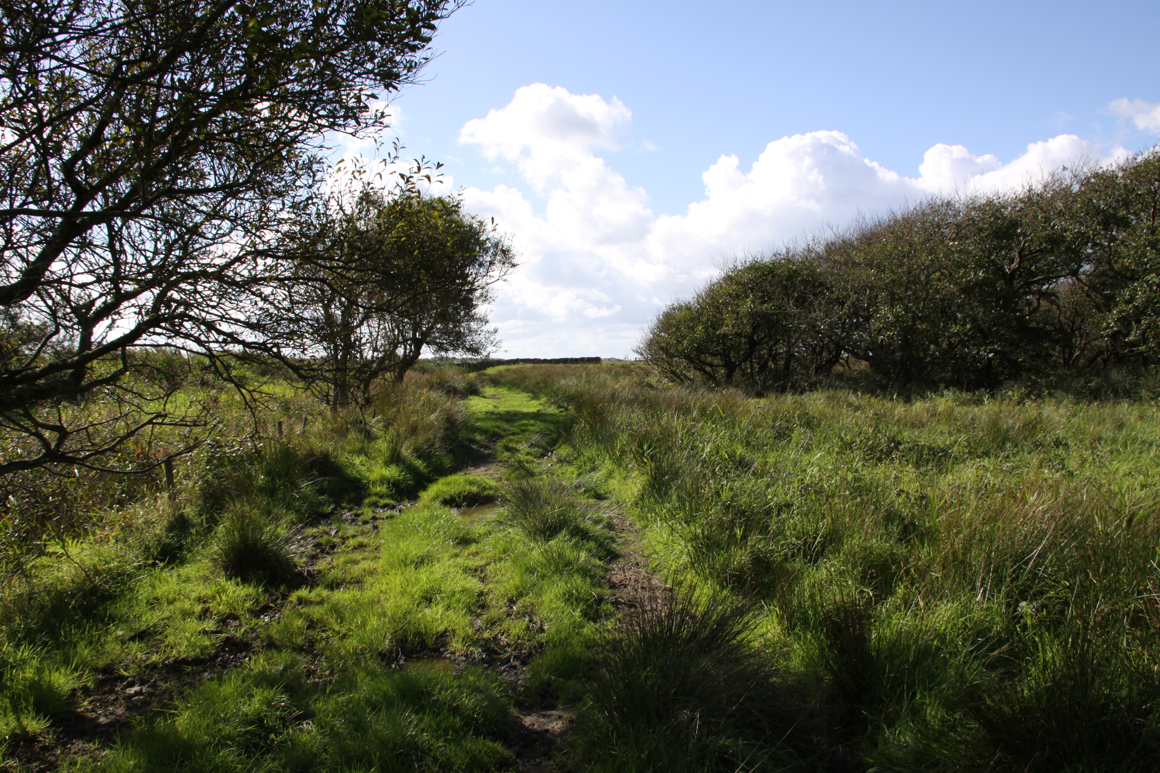
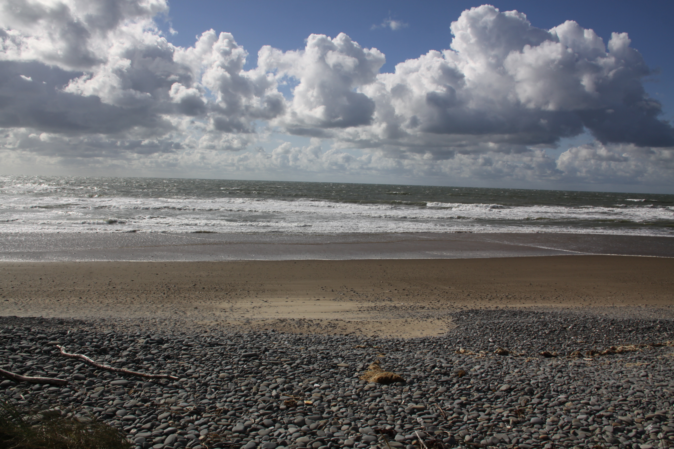
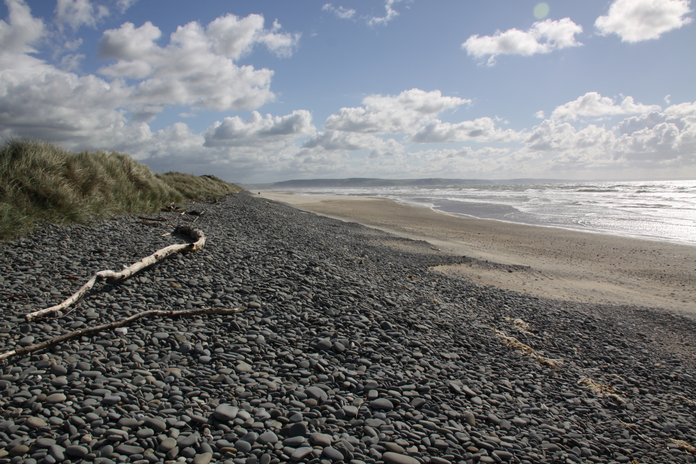
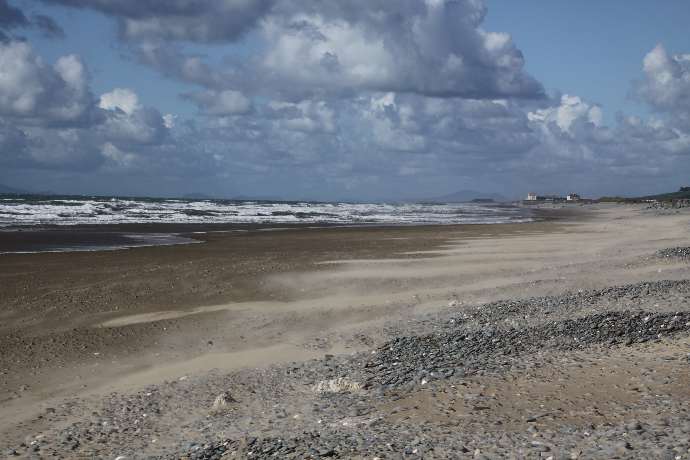
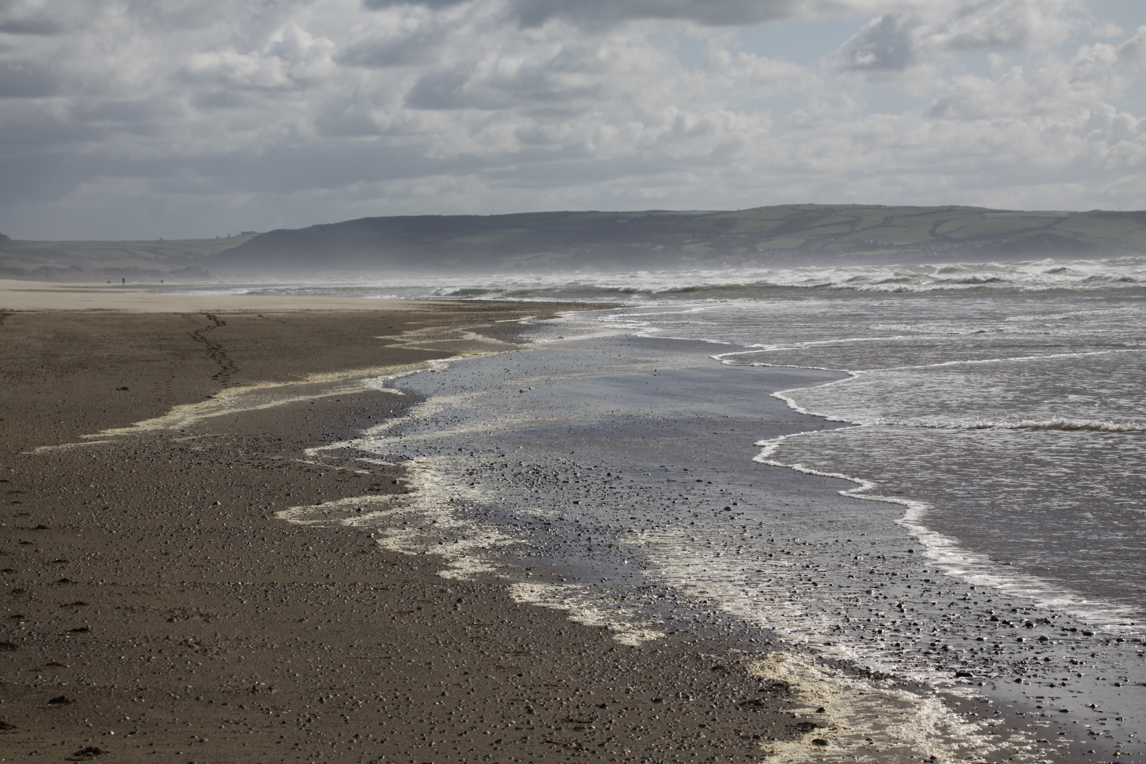
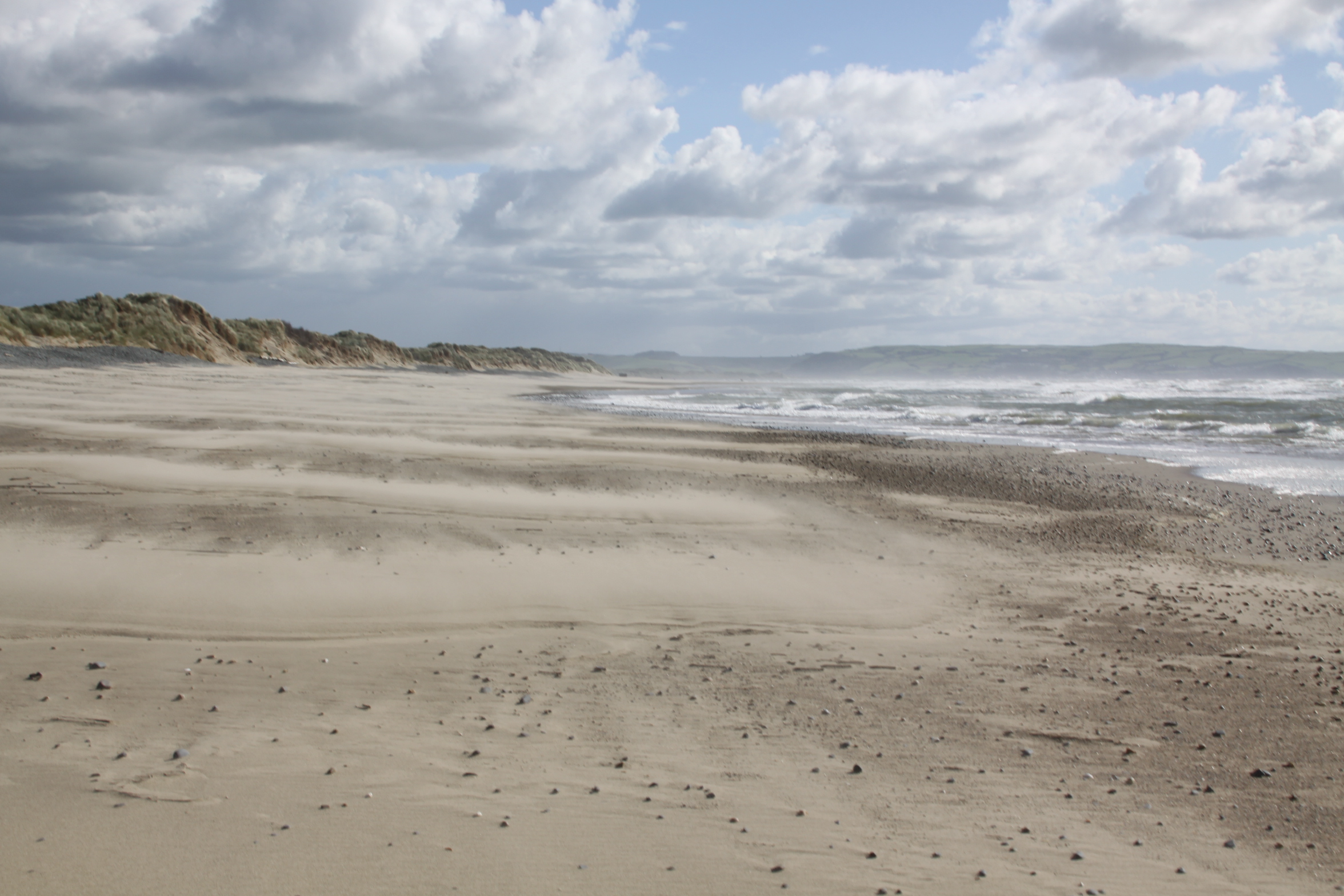
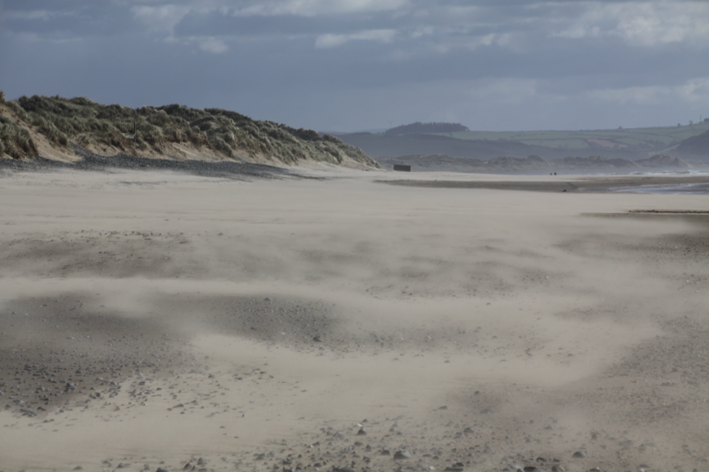
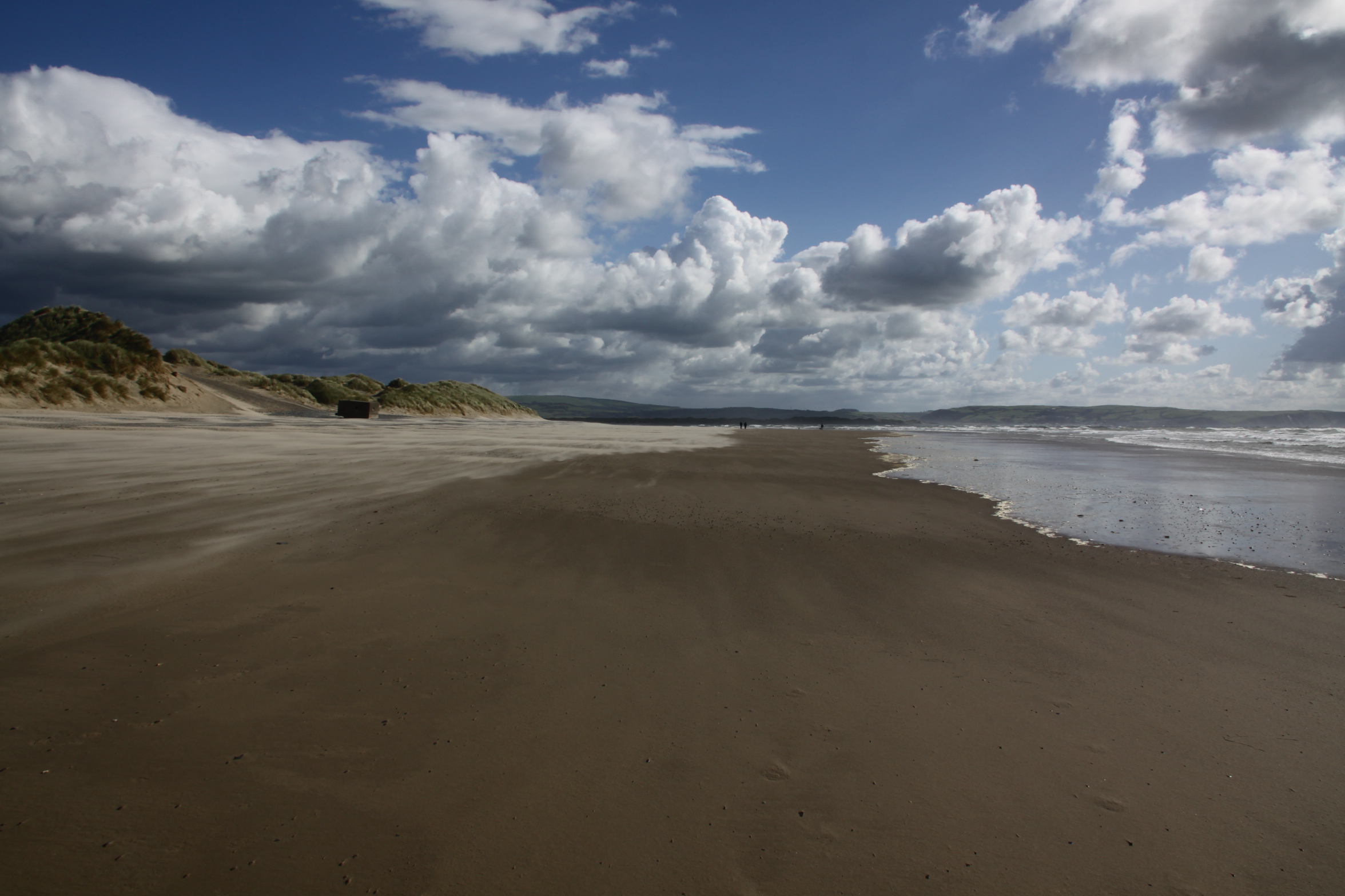
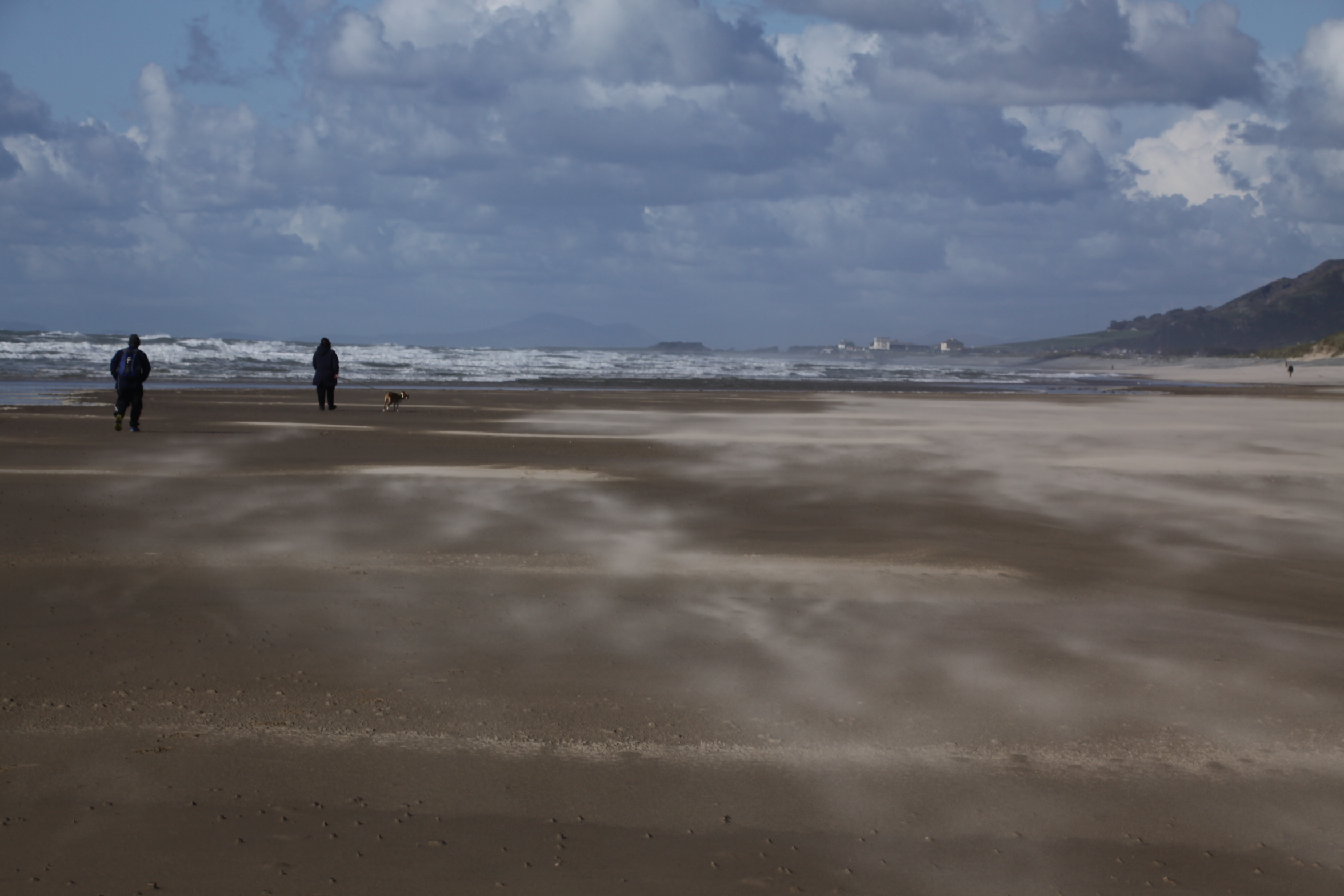
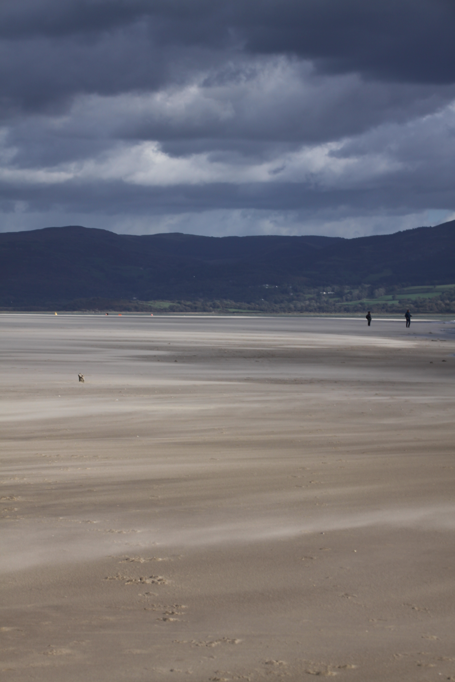
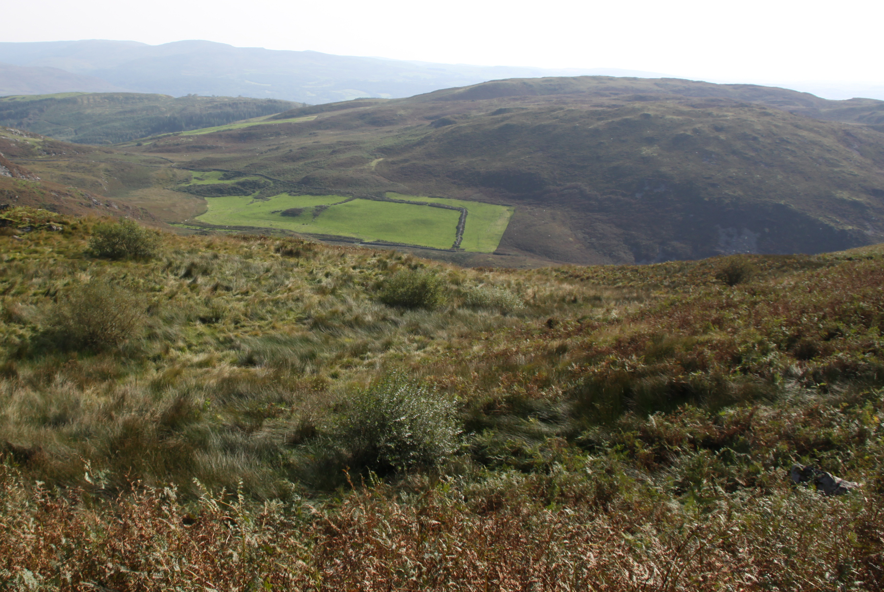
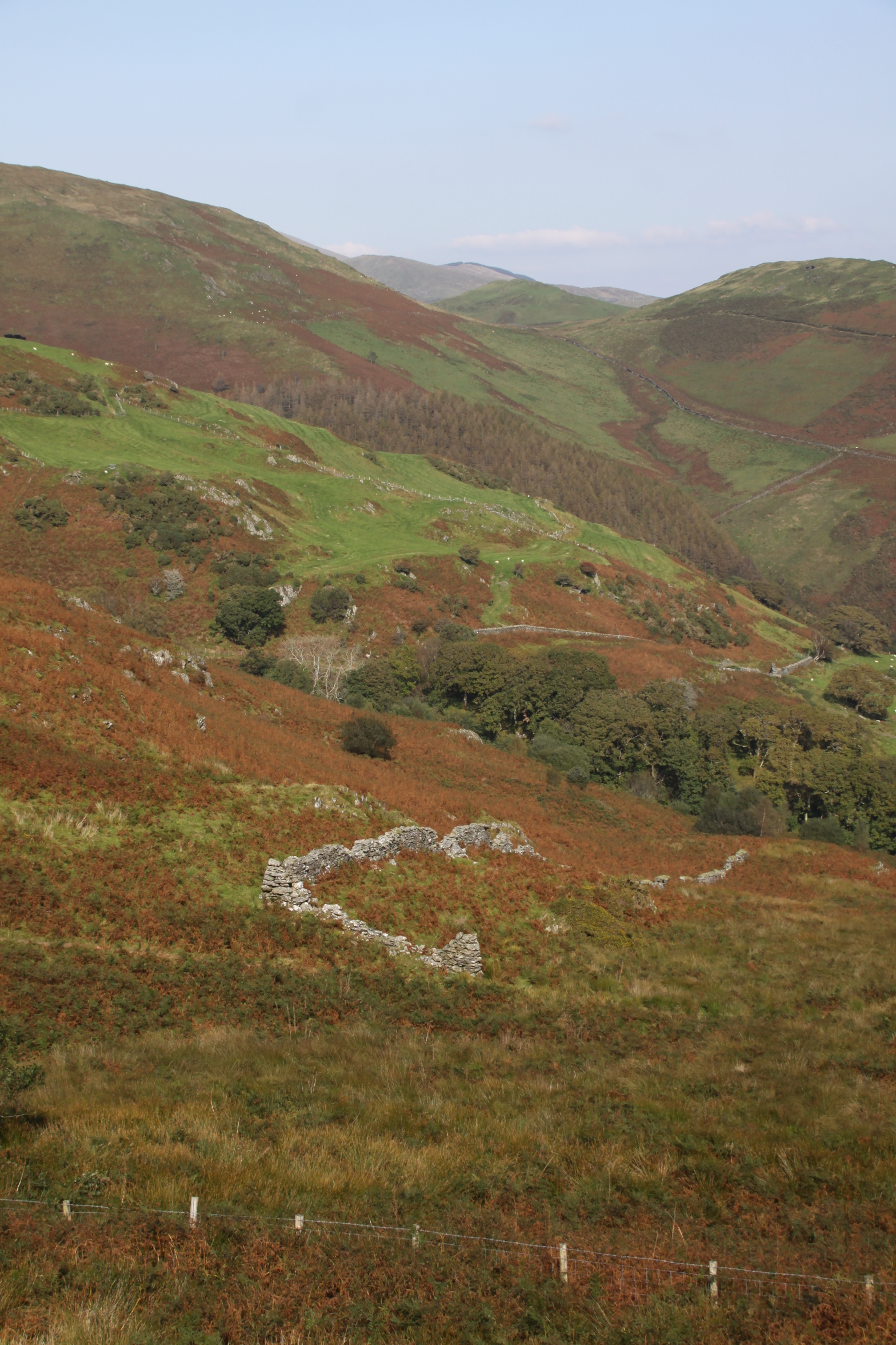
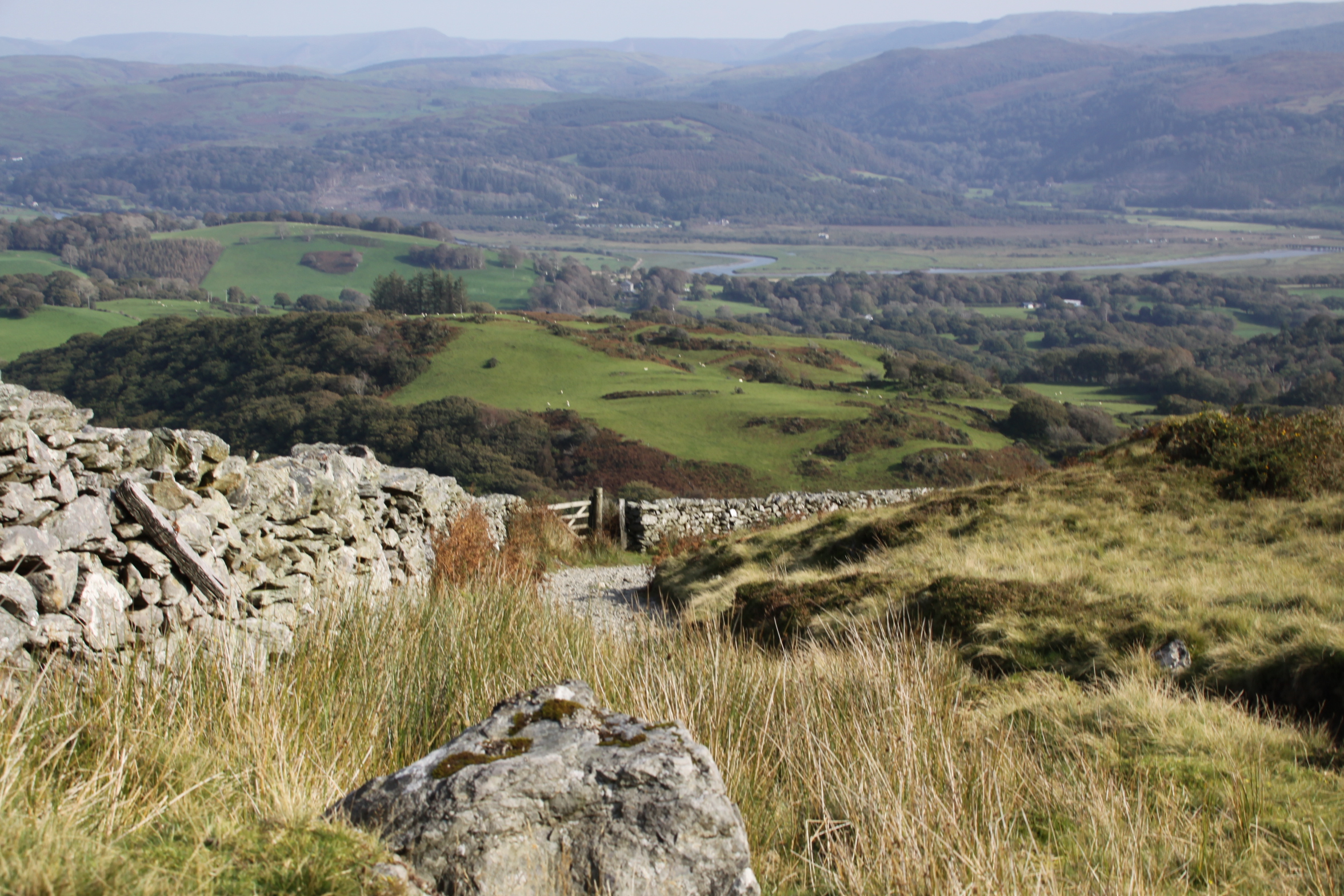
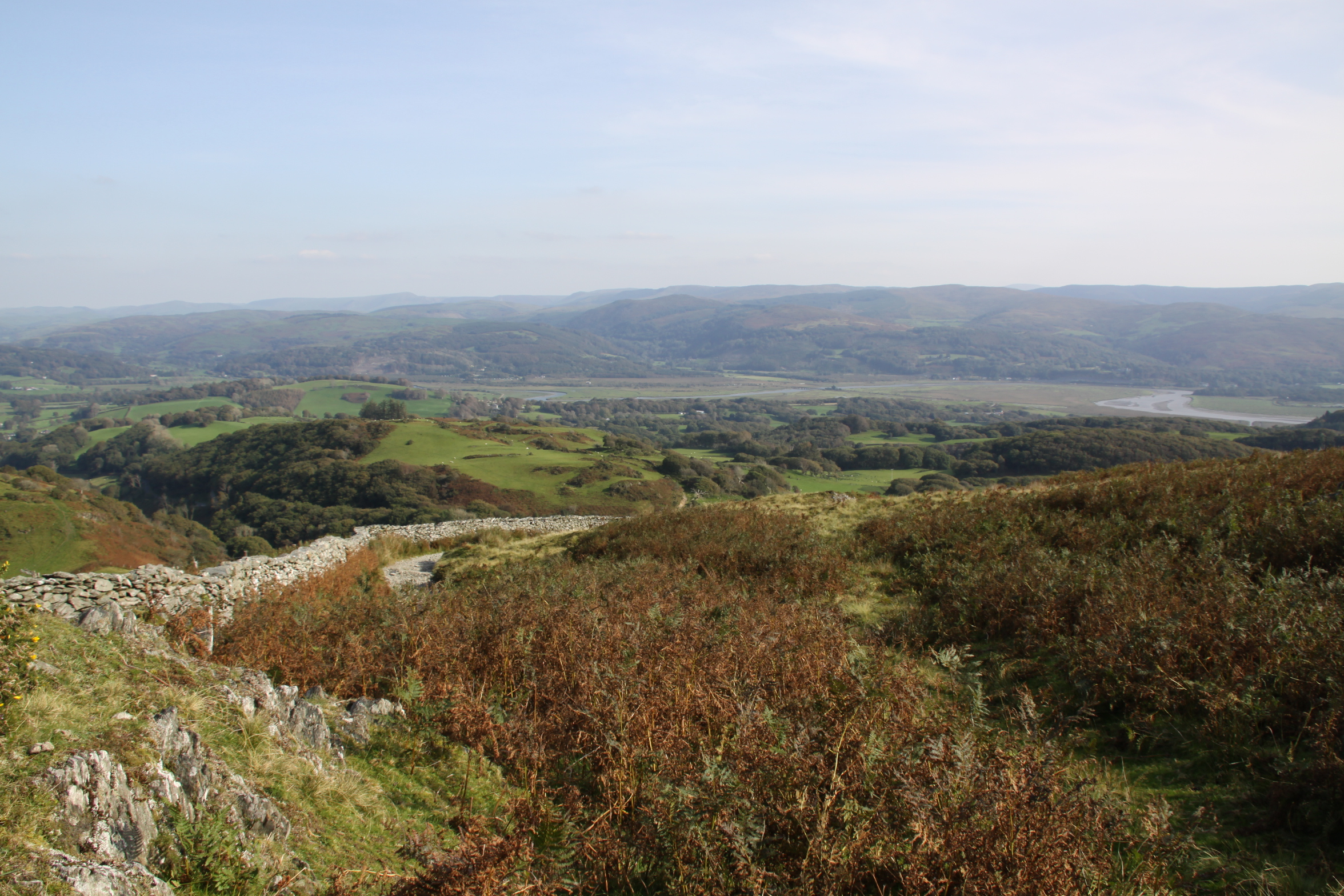
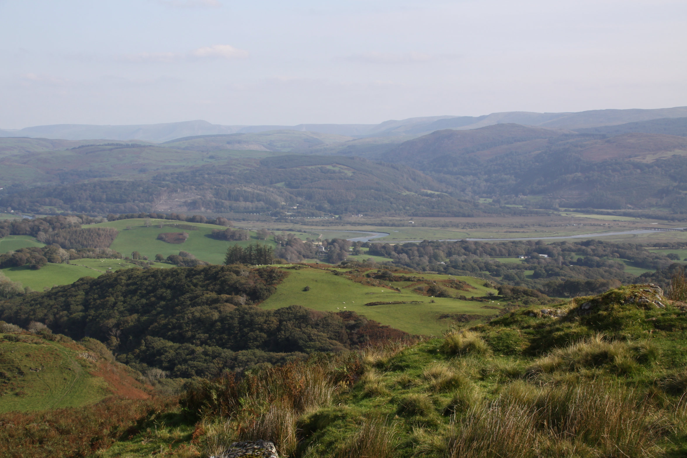
After a tedious few hours doing paperwork and filing I had to go to the Post Office this afternoon, so even though it was grey and dull, I took in a brief stroll along the golf course, sand dunes and walked back along the beach.

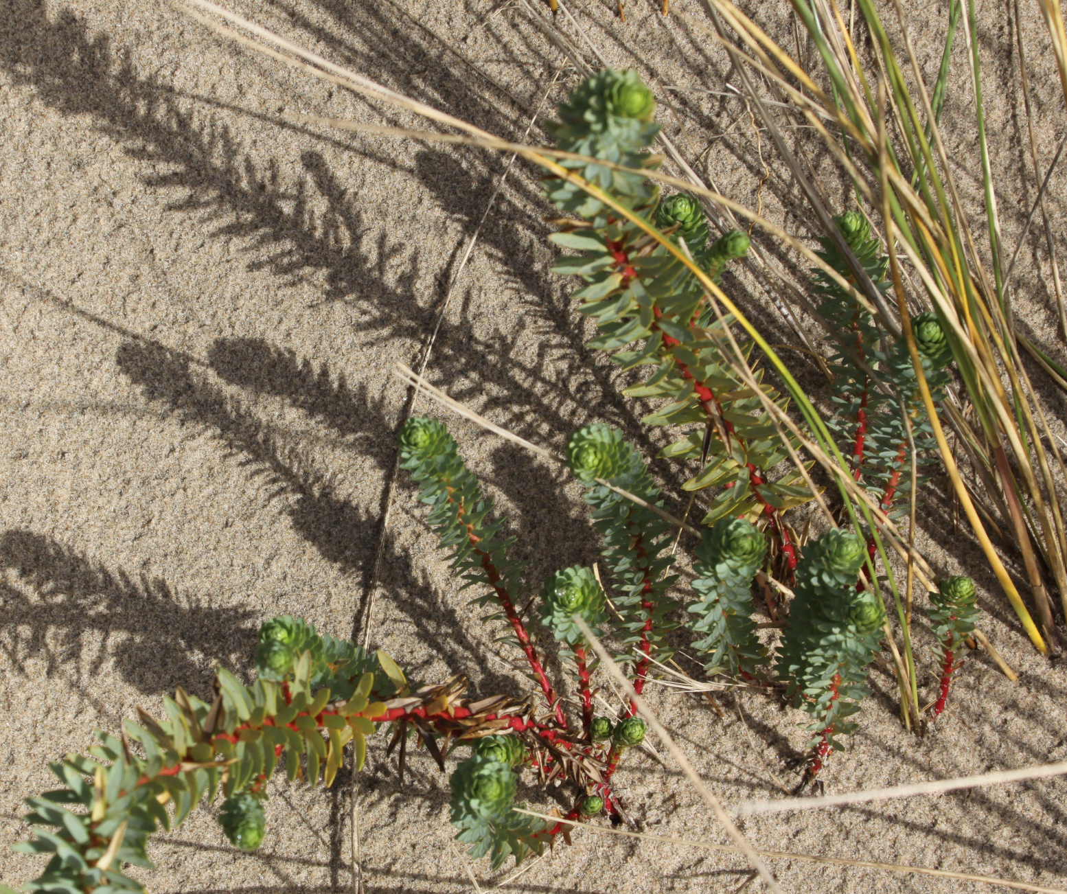
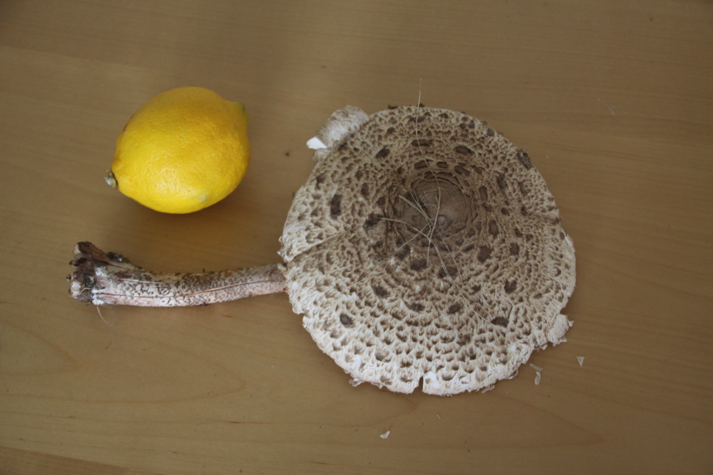
On the golf course I was hoping for some wild mushrooms, and just as I had given up, and was about to walk over the dunes to the beach, I spotted a single parasol (Macrolepiota procera) in the tall grass where the sand dunes meet the golf course.  A beauty, and a real result.  It was so perfect that it was almost a shame to eat it, but eat it I did.

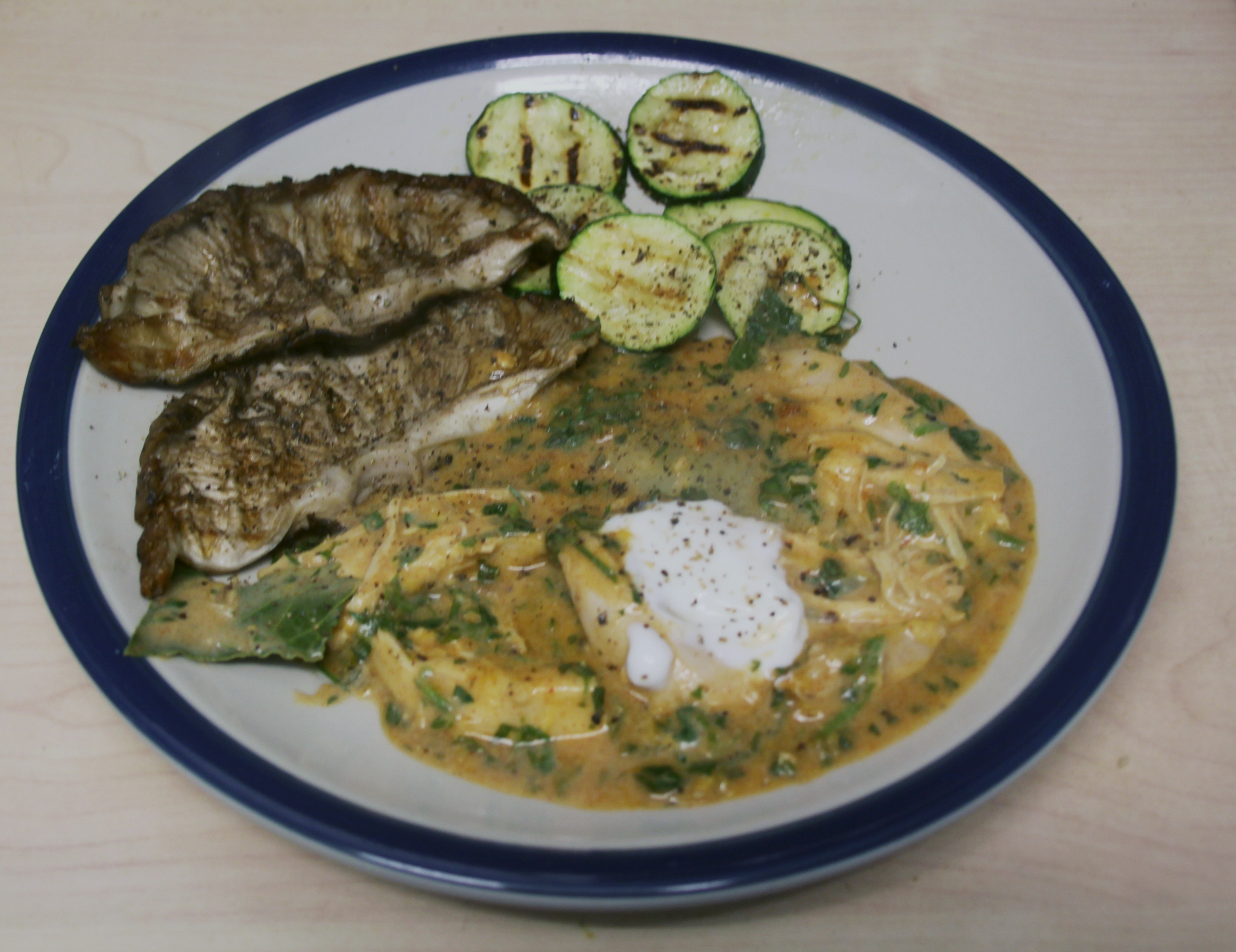
Normally I would just have it in butter, garlic and parsley, but I had already planned a Hungarian chicken and mushroom dish for the evening, Paprikás Csirke (paprika chicken), so instead of shop-bought field mushrooms the parasol was deployed.  There are many different ways of doing Paprikás Csirke, but I simply do it the way my Mum did it, which is a very simple, quick recipe that produces a super meal that is full of flavour.

In the recipe, button mushrooms are added to the sauce as described below.  In the picture, however, what look like two pieces of steak are the two halves of my parasol mushroom top, served on the side of the chicken in the paprika and sour cream sauce, alongside griddled courgette discs.

Paprikás Csirke. Instead of adding button mushrooms with the chicken to the sauce, a giant parasol mushroom was halved and served on the side with courgette discs.

First, depending on how many people you are feeding, use a a whole chicken that has been jointed, one or more chicken joints, breasts or thighs.  Whatever you choose, this is poached with a bay leaf, sliced onion, lemon zest and peppercorns.  I also added the stalk of the parasol, because although it has flavour, it is too woody to eat.  The poaching stock is reserved, because it is used to make the sauce.

The mushrooms are tossed in butter before setting on one side.  The sauce is made by adding flour and paprika (and optional cayenne pepper) to the mushroom juices  – add some more butter if necessary to soak of the flour.  Slowly add the required amount of strained poaching liquid, stirring constantly, to make a light velouté.  Keep stirring until it is thick enough to coat the back of a spoon.  The chicken and button mushrooms and some lemon zest are then added to the sauce (mine differed because instead of many smaller mushrooms I divided my one large mushroom into two and served them on the side), and everything is simmered til warmed through.  Sour cream is then added and stirred in and heated through for a minute or so with a good handful of chopped parsley.  If you cannot get hold of sour cream, any cream will do as a substitute although the slight sharpness of crème fraîche or Greek yoghurt are a good match.

To serve, place a dollop of the cream on top of each serving, give it a good grind of black pepper and sea salt.  I also like a good squeeze of lemon juice over the whole.  It is good accompanied with plain white rice, noodles or your preferred veg.  Ribbon or griddled courgettes go very well with this dish, and I opted for the latter.  Optional additions to make it go further are cooked baby new potatoes and/or small, butter-fried shallots thrown into the sauce before the cream is added.
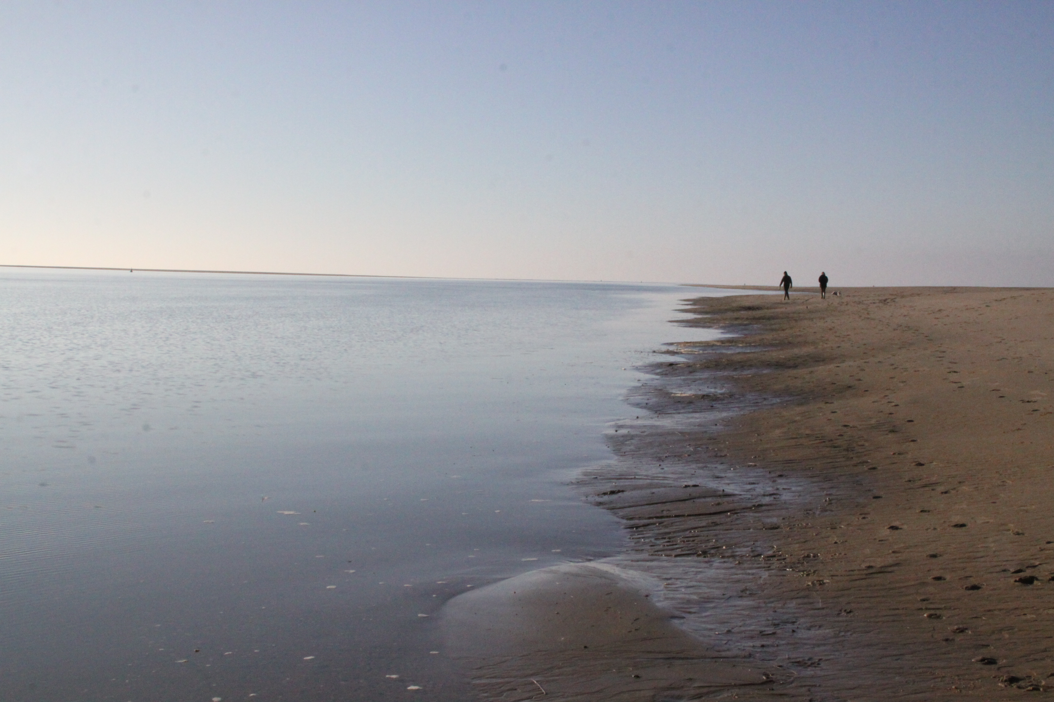
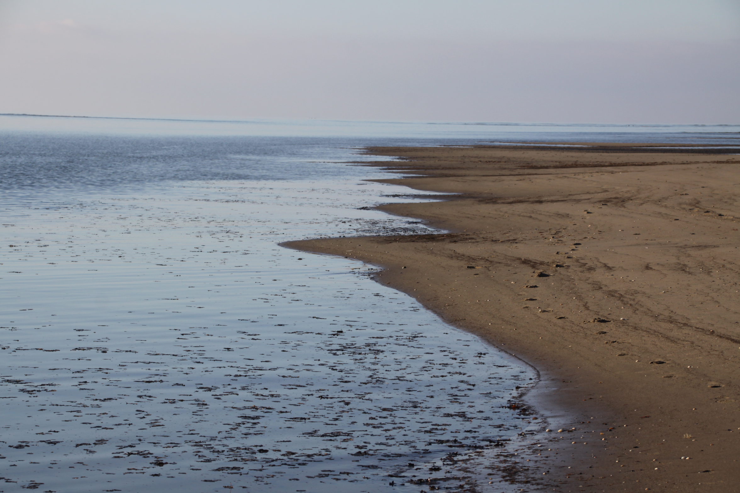
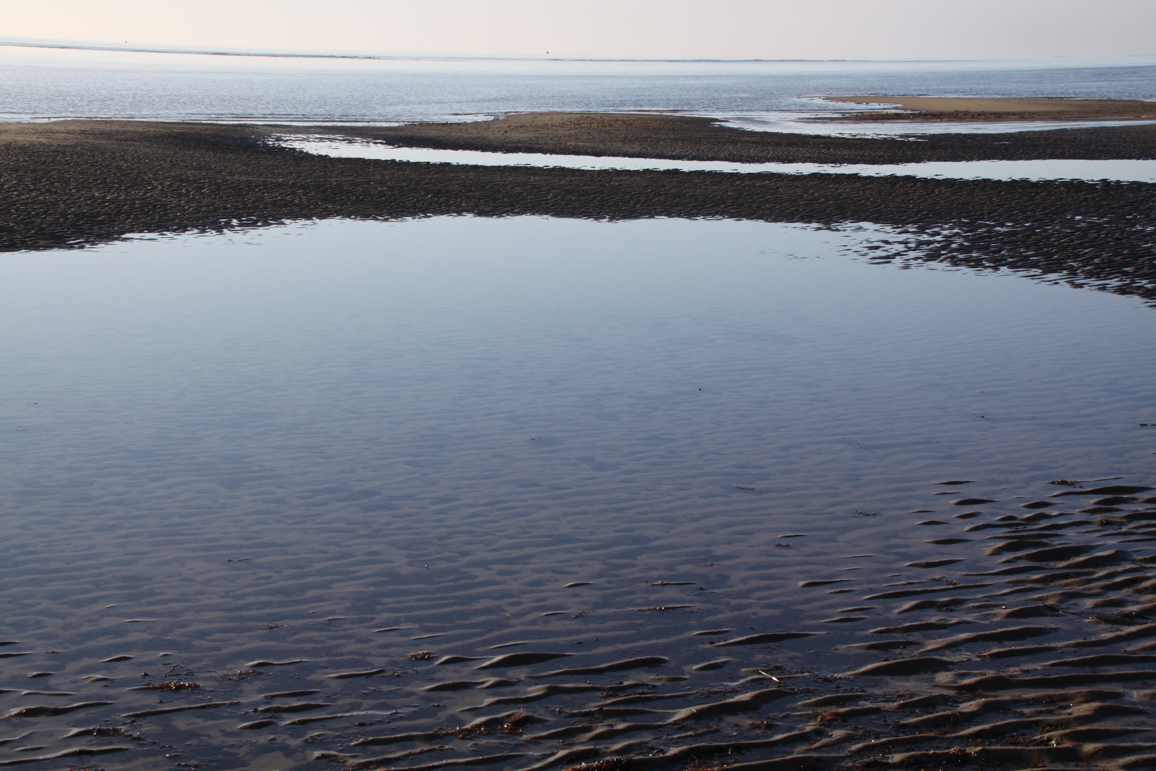
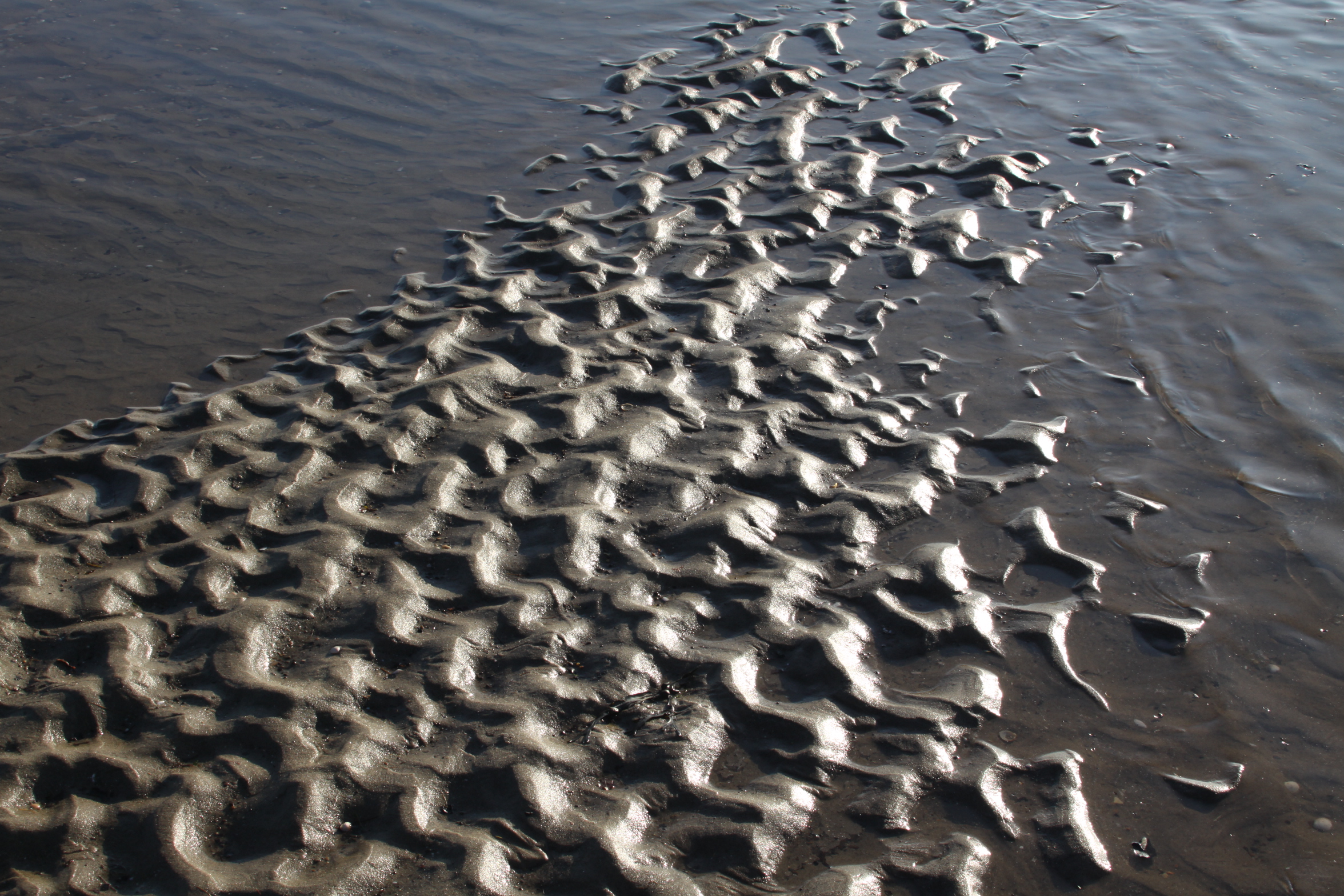
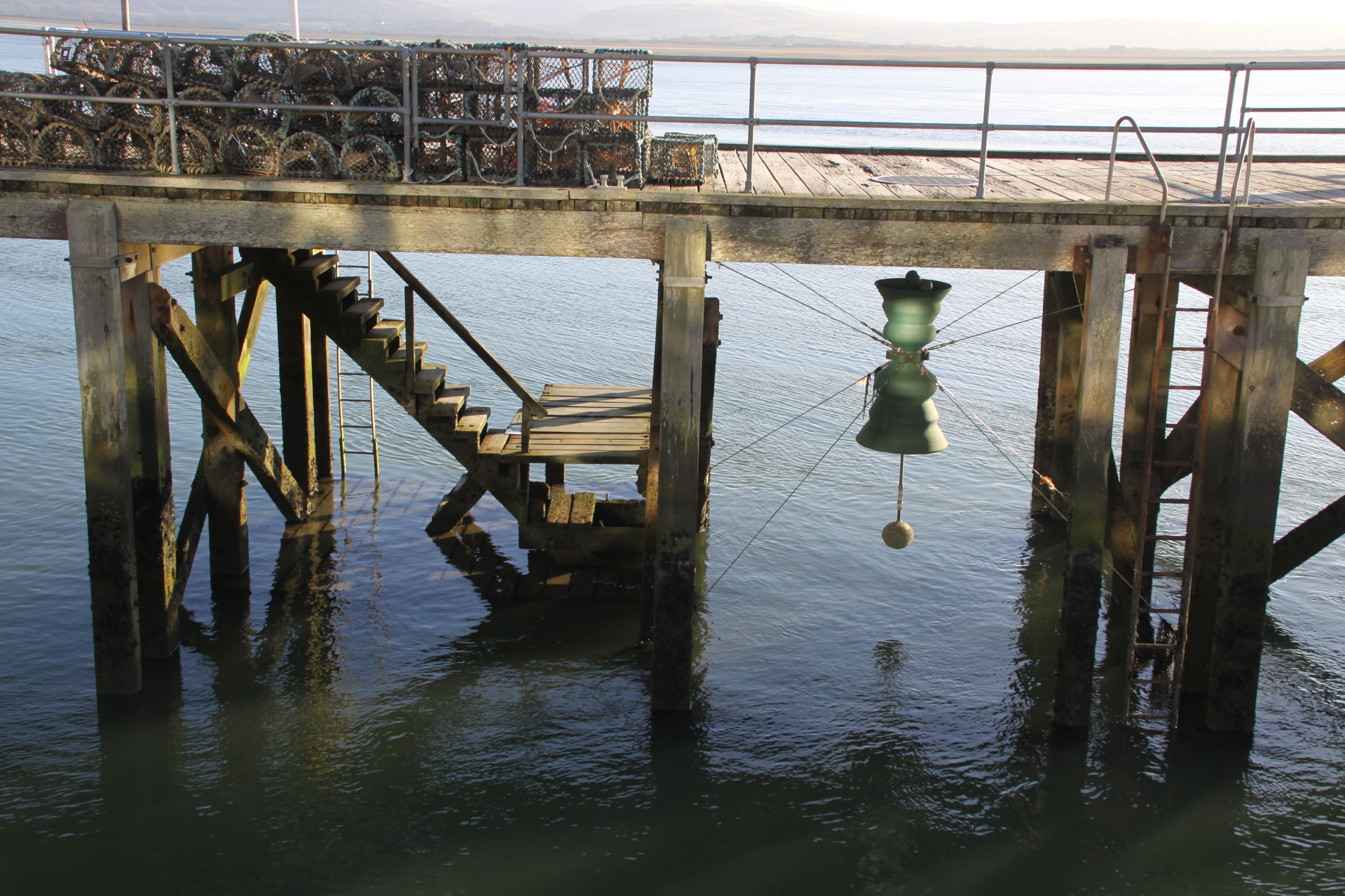
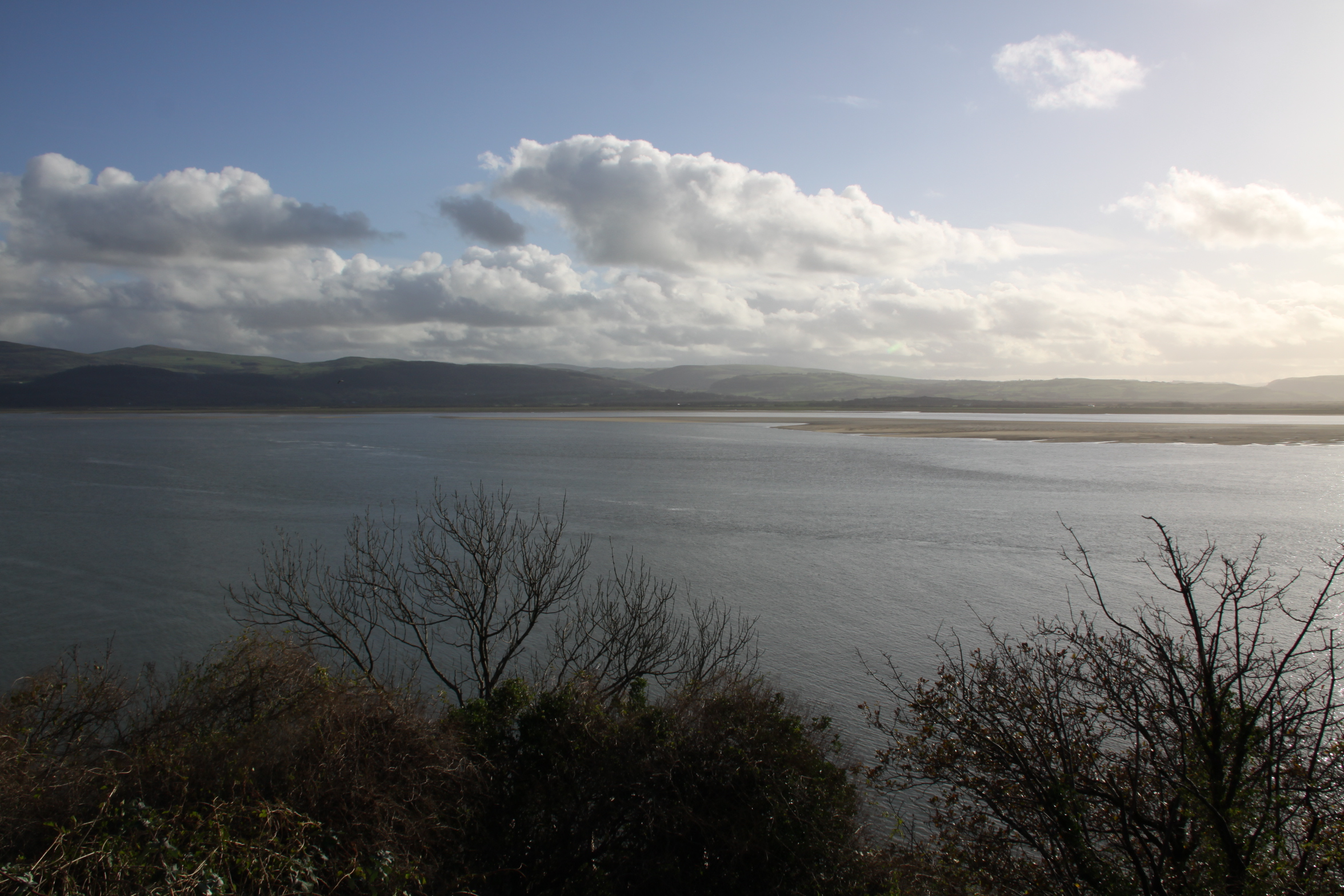
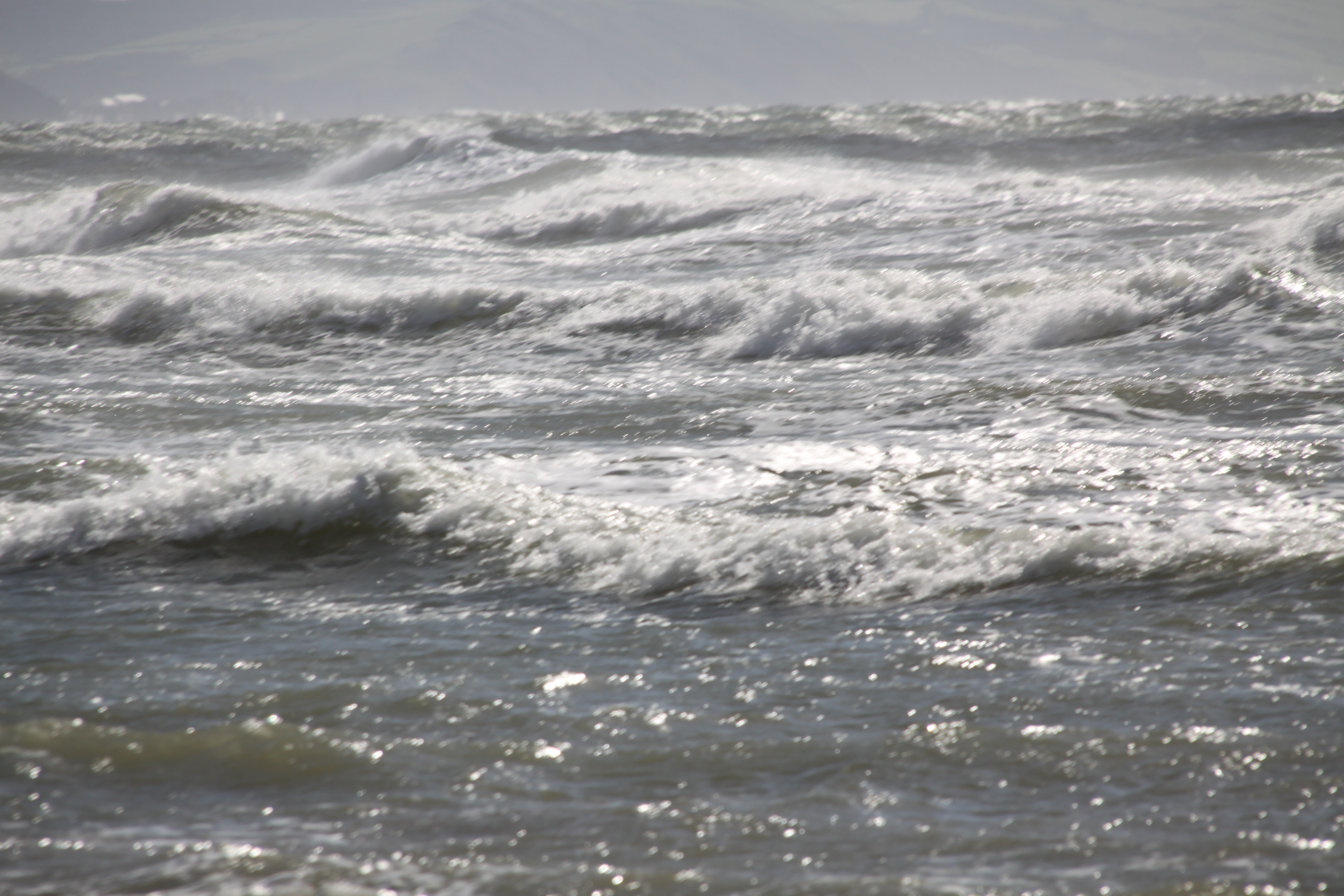
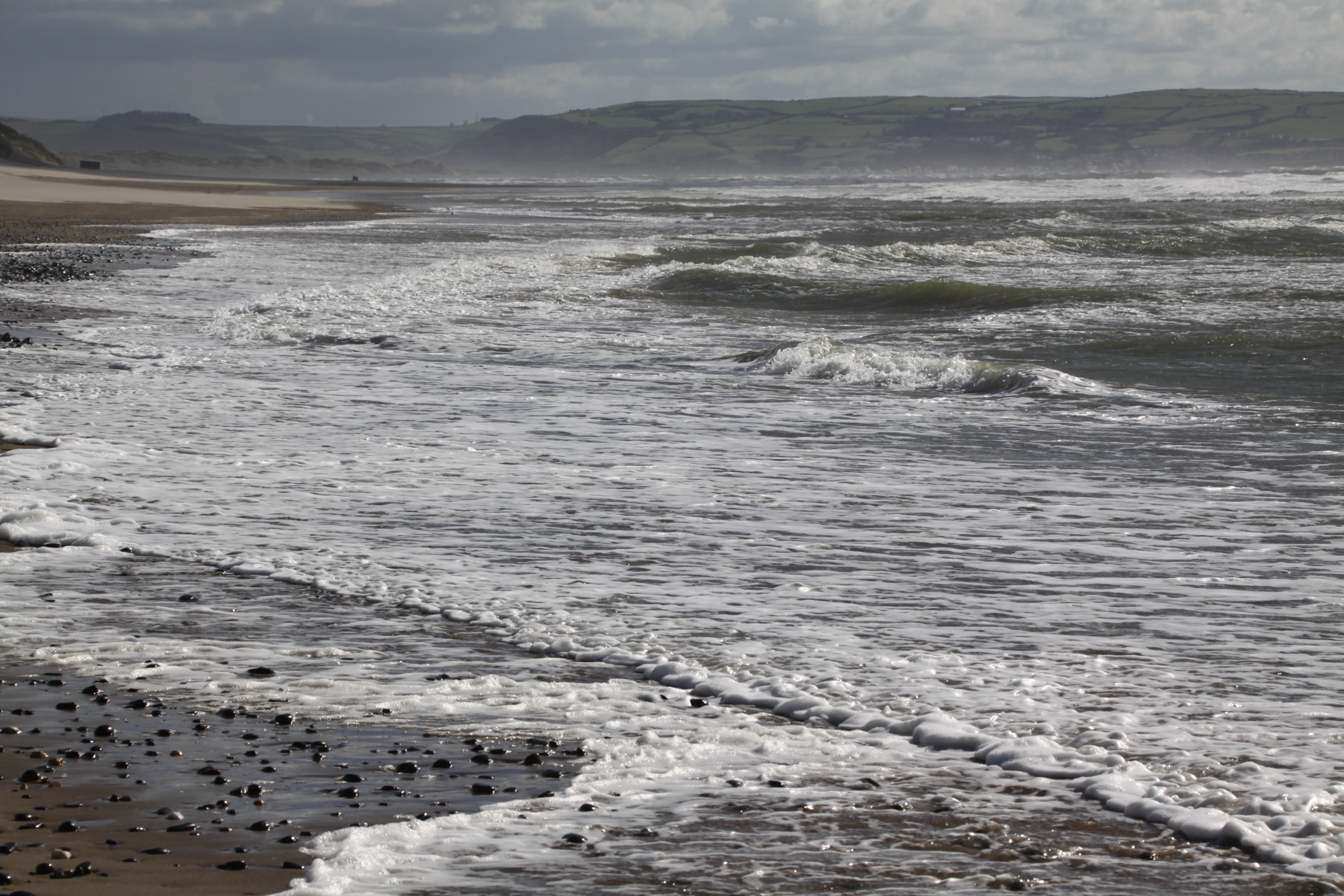
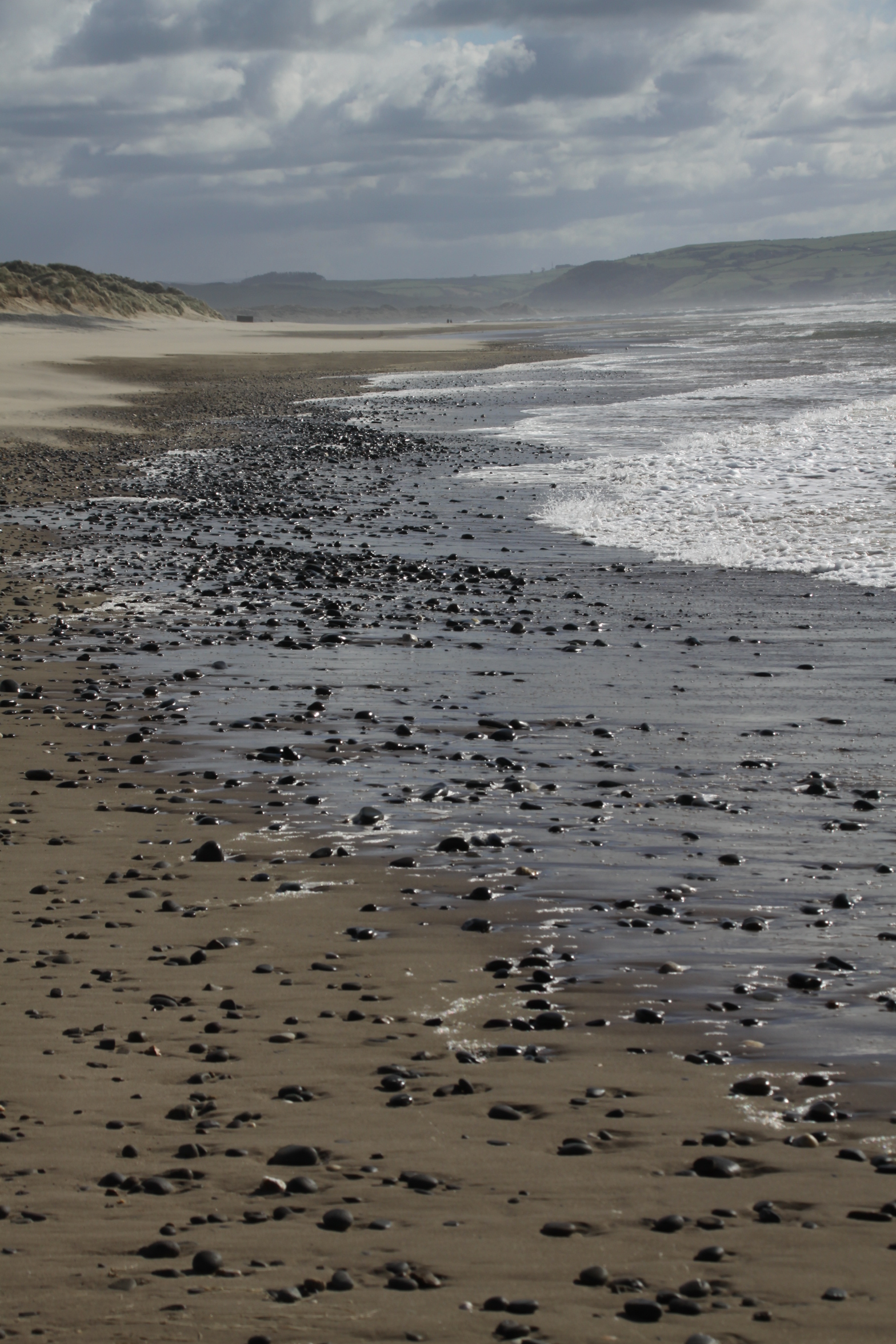
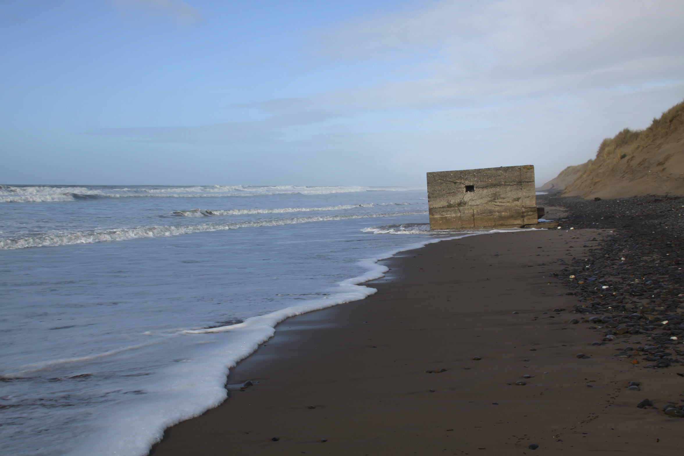
A September sunshine swan-song before Autumn: walking across the hill, returning along the the beach

A nice walk over the hill and down the other side on the 25th September, through the Gywddgwion farm on the footpath, dropping down into a (mostly) dry stream bed that doubles up as a footpath in the summer, to collect some blackberries, emerging at Dyffryn Glyn Cul farm.  We strolled down the single track lane to the coast road, crossed over and headed towards the dunes, and from there down on to the beach.  This is my favourite bunch of beach photos to date.  There were a couple of nice days after this, but it was the last of my walking for the time being, as I had to get down to some work.  Adding the photos to this post rather belatedly on October 4th, the difference between those divine last days of September and the onset of October wind and rain is truly amazing.


A first-time walk from Happy Valley towards the Dysynni

I hadn’t seen my friend Caroline for ages, so it was great to do one of our social distancing walks, and one that was new to me, taking in a tiny prehistoric stone circle.  The track is marked on the OS map as a “byway open to all traffic” and follows the line of the Nany Braich-y-rhiw stream, at a higher level.  The views were as spectacular as they always are when you get on to the higher ground in these parts, into the Dyfi valley at the start of the walk, into Happy Valley, and eventually, ahead into the Dysynni valley.  The track is very deep and carved out of the bedrock in places, just like the Aberdovey estuary’s “Roman Road,” which is actually thought to date to the 1820s.  We drove to the point of departure in separate cars, parking on verges, as it is a long hike to reach the start from Aberdovey, and then a long hike in its own right.  On this occasion it was a there-and-back walk rather than a circular one, but just as good because the views are different in each direction.  It was 19th September and the weather was in our favour.

On the map below I’ve marked the starting point in red, and have put blue dot where another path descends into the valley, more or less opposite the Bearded Lake.  Although we carried on along the main track, you can make a lengthy circular walk if you take the path into Happy Valley, and it would probably be easiest to park in the official Happy Valley car park if you are going to do that (which also serves as the car park for those wanting to walk up to the Bearded Lake).

It’s an easy walk if you have good footwear, with a good track and no very steep gradients.  It should also be avoided in wet weather, or at least go in heavy duty footwear.  It had been very dry for the previous week, but we still ended up having to walk off the path in certain places as it was swamped with mud, and was often marshy either side of the path.  There were several points at which we had to ford fairly wide streams, two of which are marked on the map as fords. It was very windy even on a sunny day, so head gear would be a sensible precaution.  The only cloud on the horizon was that at weekends it is used by trial bikers, travelling at speed, with precious little care for any walkers who might be round the next corner.  Thanks to the noisy engines, you can hear them coming and get out of the way, but I recommend that you avoid walking there at weekends.

The stone circle is a little way along the path, up to the right, just a few seconds to reach it from the footpath.


The walk offers beautiful views over Happy Valley and the hills beyond.

Watch out for the Bearded Lake on the other side of the valley to the left, on this occasion glistening in the sun like a silver mirror.  I’ve written about the legends associated with the lake on an earlier post.

We walked past the footpath down into Happy Valley, which would have formed a circular walk, and headed instead for the views ahead, which offer an unexpected sight of the Dysynni valley.

As it descends towards the Dysynni, the track meets the stream, Nant Braich-y-rhiw.

At this point, descending towards the Dysynni valley, we turned back towards the cars, but if you carry on you reach a single-track B-road that crosses the Talyllyn railway at Rhyd-yr-onen and finishes in Bryncrug.  It was an equally beautiful walk on the return leg.  I suppose it was about an hour and half in each direction, pausing to enjoy the views with a picnic.


A favourite walk to the Bearded Lake (Llyn Barfog) above the Dyfi estuary

It was supposed to be a hillfort visit, but I was fed up of driving to where I wanted to walk, so two weeks ago I did a route that I could do by leaving the house on foot, taking the Panorama walk to the lake and back again, which takes a route across the ridge.  I had planned to take the longer route via Happy Valley, but was tired after an iffy night, so took the shorter route, which also allowed me to get a look at the rear end of Foel Caethle, a hillfort the lies between Tywyn and Aberdovey, from a slightly higher viewpoint than the peak of Caethle itself.

If you haven’t done it before, it’s super-easy to follow the Panorama on the Ordnance Survey map.  You pass through a number of gates (five in total, I think, but more if you choose not to balance your way across cattle grids) so you will need to take hand gel and/or gloves.  Just walk up Copper Hill Street from Chapel Square, and after about five minutes take the right turn into Mynydd Isaf, which is a development of 1960s bungalows.  Follow this all the way to the top and at the crossroads go left.  Keep an eye out in the verges too, for wild flowers and small butterflies.  The harebells are particularly worth seeing – more prolific in August but with many still left in September.  The tormentil is prolific at this time of year, and the last of the little cornflower-blue Sheep’s-bit are still around.  There were lots of red admiral butterflies around, although none of them were obliging enough to settle to have their portraits taken.

This takes you uphill, and you are instantly in the countryside, passing a farm on your right, with views over Aberdovey to your left.  Just keep walking, not forgetting to turn round and see the gorgeous views over the estuary as you go higher, until you reach a right turn, with the chalet park ahead of you.  It’s about an hour and 15 minutes from here to the fork for Llyn Barfog (and the same on the return leg), with gorgeous views over Happy Valley and the hills to the left, and some views over the glistening estuary to the right, which looks completely different depending on whether the tide is in or out.

The tarmac eventually runs out at the farm, at which point you pass through two gates and onto a deeply incised farm track with a drystone wall on your right and views now mainly over the estuary, with a slope of gorse and heather rising to your left.

You may want to pause and puzzle over Arthur’s Stone, marked with a dignified slate rectangle, a bit like a headstone, inscribed with the words Carn March Arthur (the stone of Arthur’s horse, which in some legends is called Llamrai).  It has a role in the slaying of the story of the monster, called the afanc, that lived in the lake, which I’ve summarized below, and what you’re looking for is the hoof imprint of the horse of King Arthur.  Good luck with that.

Carrying on a short way downhill, with views over the hills ahead, an array of colours as they fade into the distance, you go through an open gate (shown right) and the footpath for Llyn Barfog is just on the left.  It is easily missed – there is a wooden stake marking it (shown immediately below), but no signpost.  It is, however, quite well worn so if you keep an eye open you should be okay.  This takes you round the foot of a small hill rise and leads you directly to the lake, about a 10 minute walk.  I sometimes follow the sheep tracks to the top of the rise instead and then make my own way down, because the view down onto the lake is great, but the going isn’t easy – the sheep tracks are very narrow and the surface all around consists of big, dense clumps of heather that are not easy to walk between.

However you arrive at it, the lake always manages to be a bit of a surprise, so high up and so intensely blue.  Each time I visit, I half expect it to have vanished.  I’ve sadly never managed to catch it when the water lilies and other water flowers are in bloom, but today the lily pads were deeply green against the blue water and gave it a rather exotic feel, and the water glowed and sparkled in the sunlight.  I sat on a handy outcrop of quartzite for a while to enjoy the views and the silence.

The name “bearded” is thought to relate to the vegetation around its edges.  Unlike Arthur’s horse’s stone, one really could imagine this being a source of myth and legend, and indeed, there are at least two.  One concerns the water monster known as the afanc, which is associated with other lakes too, a legend that eventually had an Arthurian spin on it.  Here’s the main thrust of it.  The afanc was the cause of flooding and other damage to good land.  In some versions he lives in a cave and slays three princes a day who come to kill him, but they are resurrected, and the cycle repeats.  In the case of Llyn Barfog, the afanc must be lured from the water by a heroic figure who will finish him off, and this hero eventually becomes Arthur.  Arthur and his horse pull the monster from the lake, finishing it off, and one of the horse’s hooves leaves its imprint in the Carn March Arthur.  See more on the Coflein website, where you can read a Llyn Barfog legend of green-clad fairies, two cows in love and a greedy farmer.

The return trip is just as good.  The wind had got up a bit, so it was nowhere near as hot.  On the entire walk I saw only six people, three separate couples.   That surprised me,because at this time of year it is usually quite popular with walkers.


Some rather spectacular light over the estuary yesterday evening

At about 1730 last night a mixture of sun picking out the bright green on the ground, and the very dark clouds above creating some rather spectacular lighting over Ynyslas and the estuary.  The view from my living room changes daily, the light always different.

Walking the Dolgoch Falls – lush green, dappled sun and the lovely sound of bubbling water

I decided that in mid September’s brief spell of stunning weather, the season’s probable last gasp, I would make it into a bit of a holiday and do some walks that I’ve either really wanted to do for the first time, or revisit some that I haven’t done in years.  This falls into the latter category.  I haven’t visited the Dolgoch Falls in over ten years.

Dolgoch on January 2nd 2010

That last Dolgoch visit was certainly a mistake.  On 2nd January 2010 my father and I agreed that we fancied walking the full Dolgoch circuit.  We had woken to find that the garden was covered in a blanket of snow, of which I still have photographs, but there was a beautiful cold winter sun and lovely blue skies.  In spite of the sun I have no idea what we were thinking.  When we arrived at Dolgoch, the car park was completely empty.  Not only was everything smothered in snow but there were random sheets of black ice as well.  We should have turned around at that point, but we didn’t.  It was absolutely hair-raising underfoot, but it was also remarkably beautiful.  Infuriatingly, we had done the entire walk without mishap and were just a minute or so short of the gate to the car park, which was in sight, when my father slipped on wet leaves lying over the path’s slate border and broke his ankle.  I have not been consciously avoiding Dolgoch as a result of that day, but somehow a favourite walk has been neglected for over a decade.

People go to Dolgoch to enjoy the fabulous tall, slender waterfalls, the churning rocky rapids and the fast shallows over water-rounded pebbles, and that’s why I was there too.  It is very accessible in terms of transportation.  There is a bus stop at the car park entrance, a large car park (with a pay and display machine), and the Dolgoch halt of the Tal y Llyn steam railway.  I drove there along the B4405 from Bryncrug, but perhaps the most popular and novel way to get there is on the super Tal y Llyn steam railway, which runs out of Tywyn (timetables and Covid 19 info are on the railway’s website).  The railway viaduct crosses the river at the bottom of the falls, worth a visit in its own right, and the railway stop is just on the other side of the viaduct.  If you’ve never been on the Tal y Llyn railway before, the train ride and the walk are a perfect combination that I’ve done many times over the decades in both rain and shine (I had a less girlie attitude to the rain when I was young).  There’s a café just beyond the car park on the path towards the falls.  If you are driving there’s also the possibility of a beer, a cream tea or lunch at one of the two lakeside hotels at the stunning Tal y Llyn lake, depending on the time of year and whatever Covid 19 measures are in place (turn right out of the Dolgoch car park and drive for about 10 minutes until you see the lake – both hotels are at the Dolgoch end of it).

I was lucky with the weather.  I arrived at 11am in full sunshine, the car park was fairly empty, and it looked as though the day was going to heat up quickly.  I love the heat, so that’s never a problem, but for anyone who prefers a bit of cool, this is the perfect walk on a hot or stuffy day.  The valley is very steep, and its slopes are covered in trees, the sky only properly visible when you get onto the highest reaches of the walk, with hilltops flanking you.  Even on a seriously sunny summer day this means that dappled light trickles through the leaves and does wonderful things to the water, but it remains a very pleasant temperature.  Everything is vibrantly, richly green, apparently a form of heaven for botanists who specialize in plants that thrive on a combination of shade, cool conditions and humidity.  The sound of the falls is ever-present, delicious, sometimes crashing and sometimes burbling.

There are two sets of walks possible.  The first is the short circuit that crosses the lowest and arguably the most dramatic set of the falls and has a number of short side-trails to viewing platforms over them.  The second is the main circuit that takes a couple of hours to complete, and heads near to the top of the hill before descending again to the level of the river, with crossings of various parts of the falls all along. The steep sections of the path are all beautifully done, the surface reinforced with huge bits of stone to form stairways, and stretches of stone pathway and, where needed, paths and steps are supplied with long sets of railings.  With Covid in mind, do take hand gel or wear disposable gloves, because you will need to use the railings to secure your footing (it’s damp and a bit slippery at most times of year), and you really don’t want to take any risks that Covid might be lurking on the hand rails.

For those of you also thinking of revisiting after a long time, there used to be a secondary route that took in some of the Dolgoch slate works on the western side of the river, starting beyond the picnic area, but although the picnic area is still there (and being used with enthusiasm) the path beyond is now sadly closed to the public, with a No Entry sign in place.  The path was quite high and narrow, next to a steep drop, and has presumably become unstable over the years.  The picnic area is a particularly pretty spot, with a run of rushing low falls cascading into a shallow, wider area of river surrounded by wide flat rocks, funneling into a narrower section of stream over small, oval pebbles and gravel, a riot of sounds.

The lower sections of the falls were fairly busy.  The Tal y Llyn steam train had arrived a little time before, and there were a few groups of people taking photos from the viewing platforms, but beyond these I had the long circuit to myself.  I didn’t see another person until I descended once again to the lower levels.  Bliss.  The higher you go, the further you go from the falls, but you can hear them clearly, a delicious sound as you walk through the dense greenery, emerging at treetop level with views across the hilltops.

Descending once again, the sound of the falls comes nearer all the time, and eventually you are back at the level of the river and the rapids.

The clouds had formed themselves into a thin veil when I emerged from the woodland, the sky still quite bright but no longer blue.  I had been planning a swim, but with the clouds hiding the sun the temperature began to drop, so I went for a short stroll along the beach instead.  It’s a remarkable thought, finishing off this post on 3rd October, with the rain slamming down, that this walk was only two weeks ago!  The thought of contemplating a swim now makes my hair stand on end!