Category Archives: Walks

Weatherman Walking: Abergynolwyn, the Tal y Llyn railway and the Dysynni

Lovely to see Weatherman Walking on BBC 2 this morning (5th October 2025), in which Derek Brockway visited the Talyllyn Railway, stopping off to walk at Abergynolwyn’s  Nant Gwernol station, taking a look at the history and Abergynolwyn itself, before heading out along the Dynsynni valley.  The footage is excellent, and there are some useful factoids in the chat. It was so good to see the area looking at its lush green best in the sunshine. It is available to view on iPlayer for the next six months.  This episode is shared with two other areas as well.

If you want to follow the main route taken, you can see this on the BBC’s Wales: Nature and Outdoors pages.


Countryfile – The Dyfi Valley

I caught an episode of Countryfile on BBC 2 this morning, “Dyfi River,” in which the presenters visit different parts of the Dyfi valley on both sides of the river, showing some really super footage:
https://www.bbc.co.uk/iplayer/episode/m002c5gs/countryfile-dyfi-river

John Craven and Sean Fletcher are in Mid Wales around the Dyfi river, exploring the hidden stories of wildlife that flock to the area at this time of year – and the people ready to welcome them. It’s a true patchwork of habitats; salt marshes, mudflats, ancient woodlands and farmland. It’s so special that it’s been designated by the United Nations as part of a larger regional biosphere – one of only seven such places in the UK – due to its amazing wildlife and landscapes.

John comes face to face with the visiting celebrity couple of breeding Ospreys who have made the area world-famous, as well as the conservation work to help the migrant pied flycatchers, fresh from their over 3000-mile journey from west Africa. To celebrate VE day, a local historian reveals the intriguing tale of a group of female army personnel brought to the area to conduct top secret work that was invaluable to the war effort. Meanwhile, Sean spends the day working on a nearby upland farm, where making a living while farming for wildlife is a constant challenge.

And further afield, Adam is all abuzz for his latest new arrival – an army of bees he’s hoping will prevent another expensive crop failure.

  • Duration
  • First shown


Ynyslas Visitor Centre – Local people fight closure

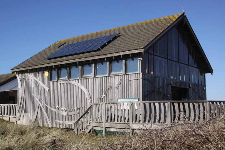
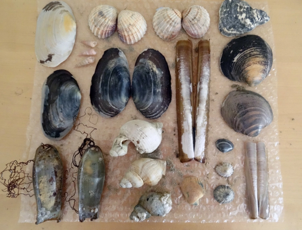
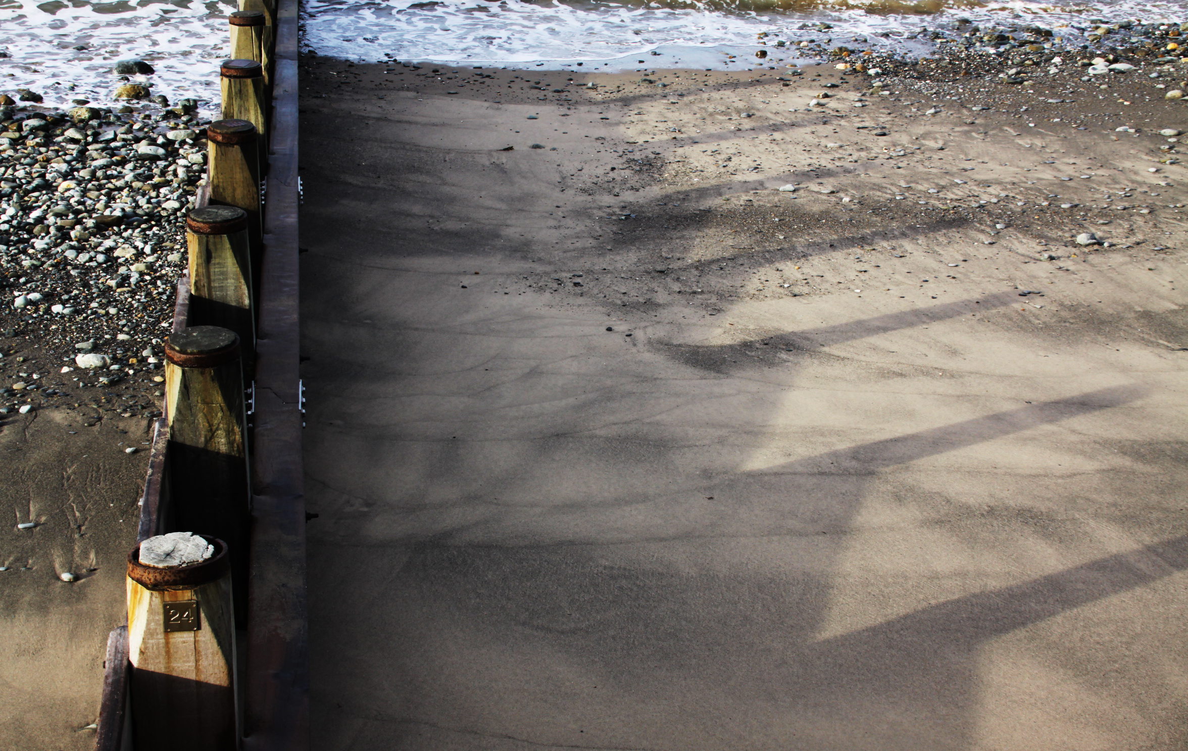
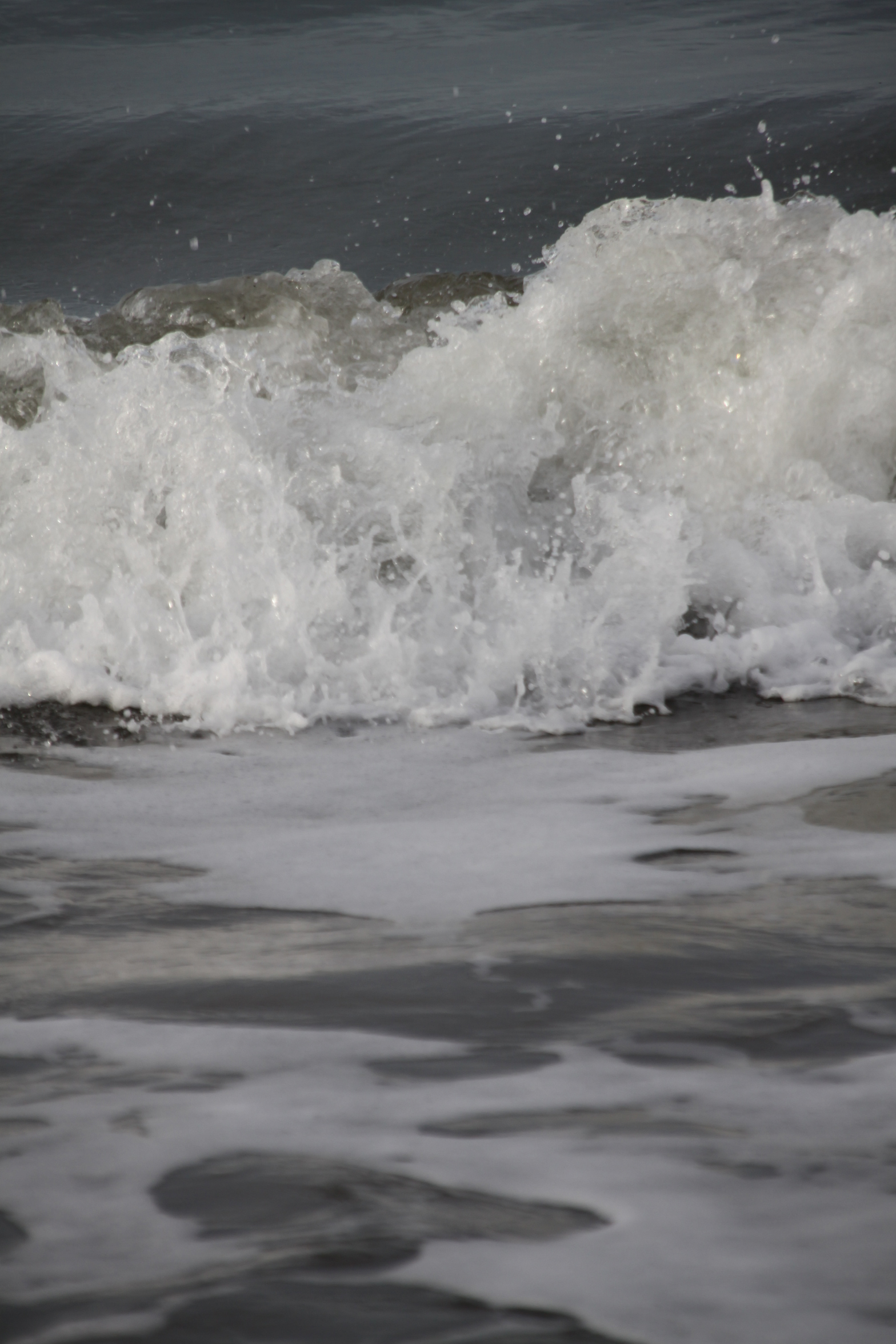
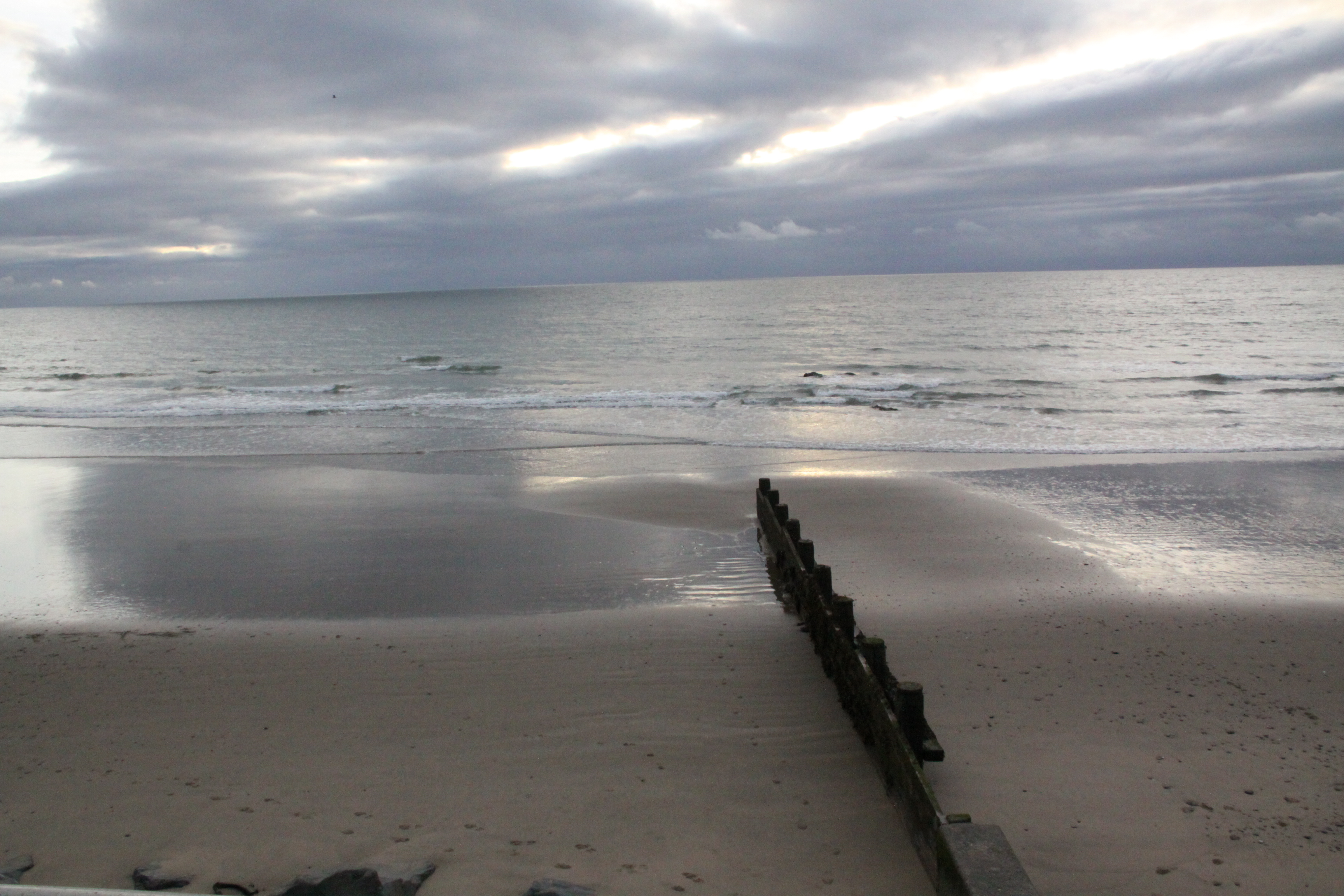
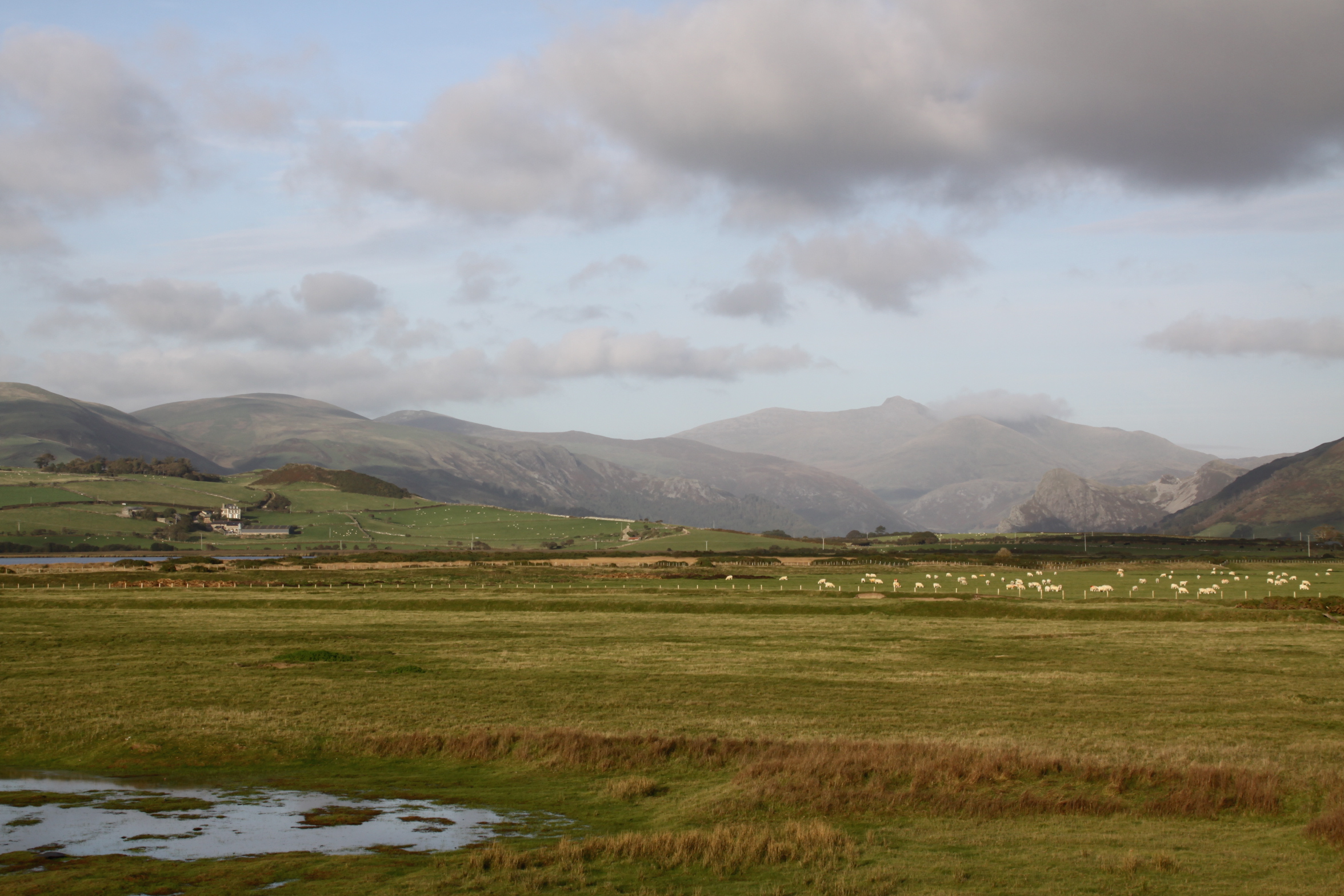
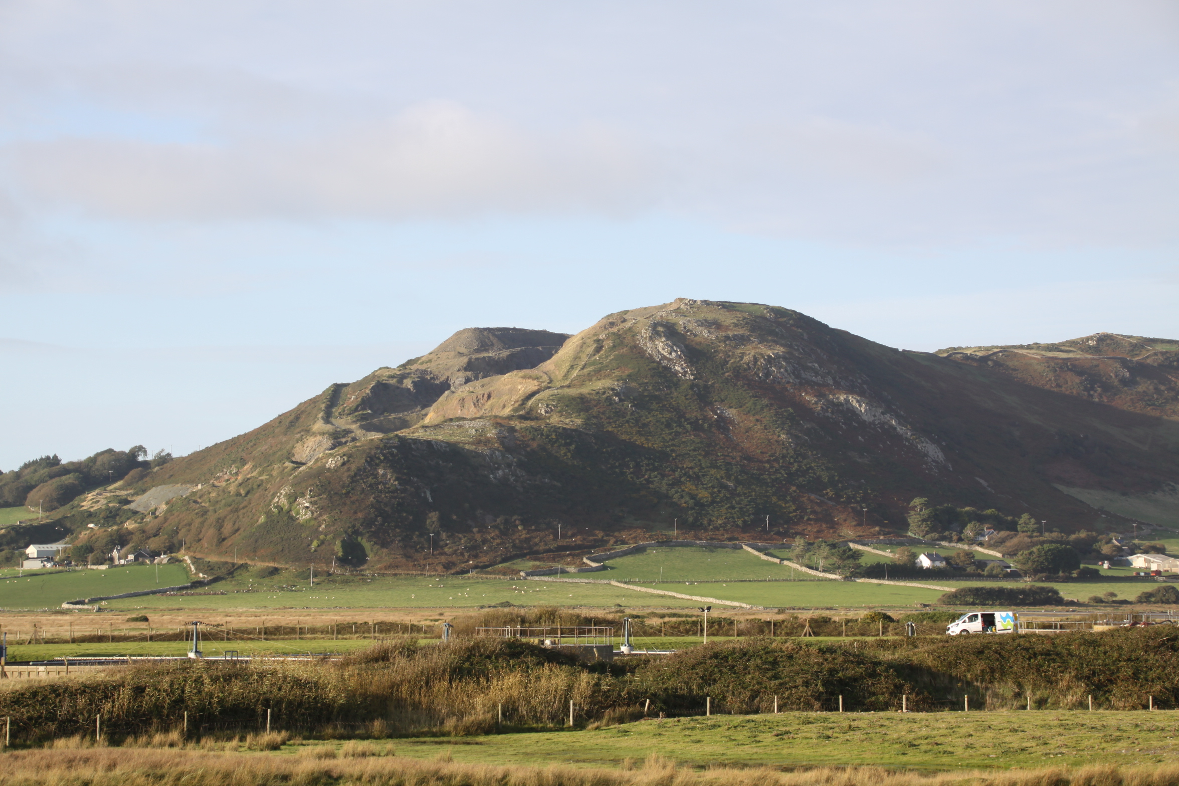
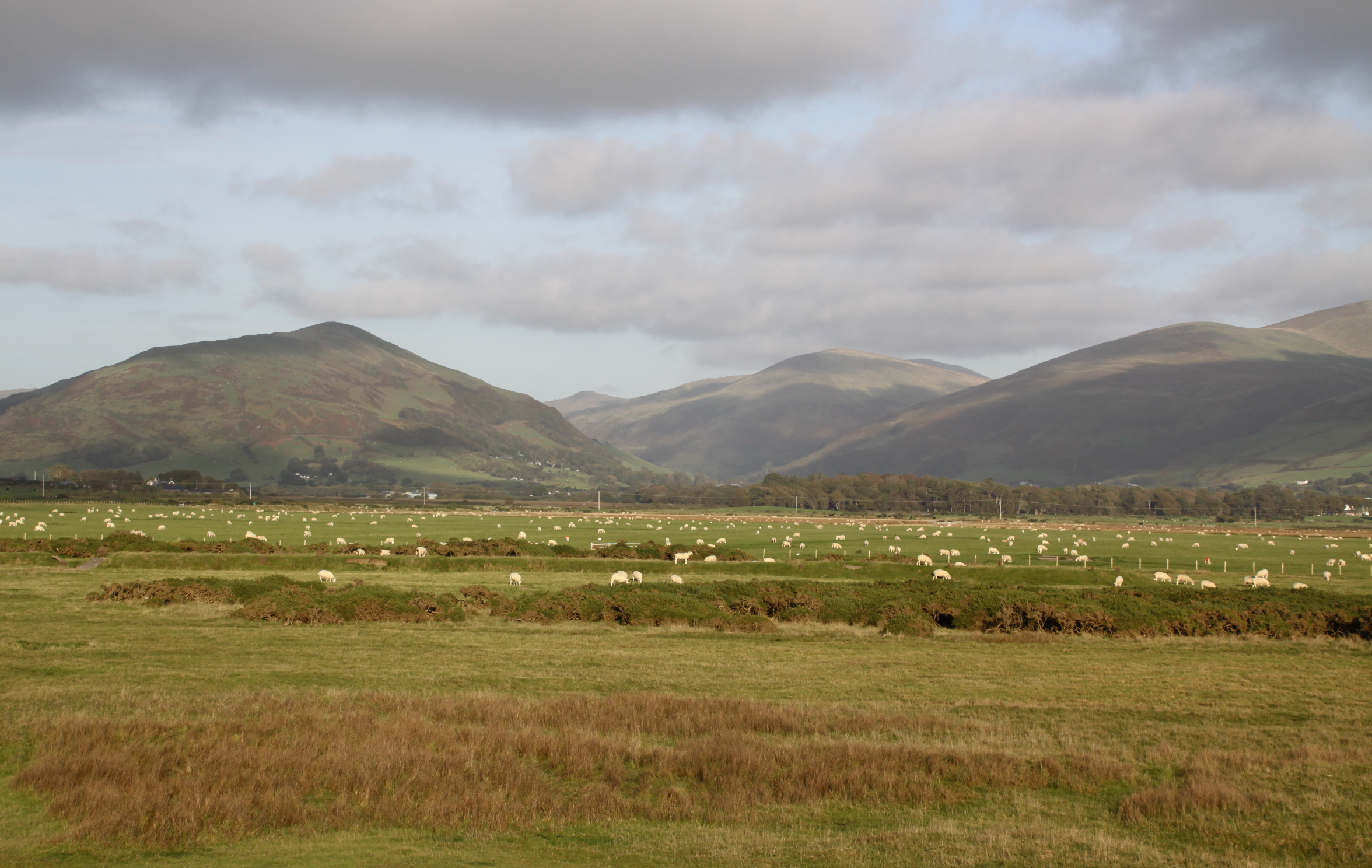
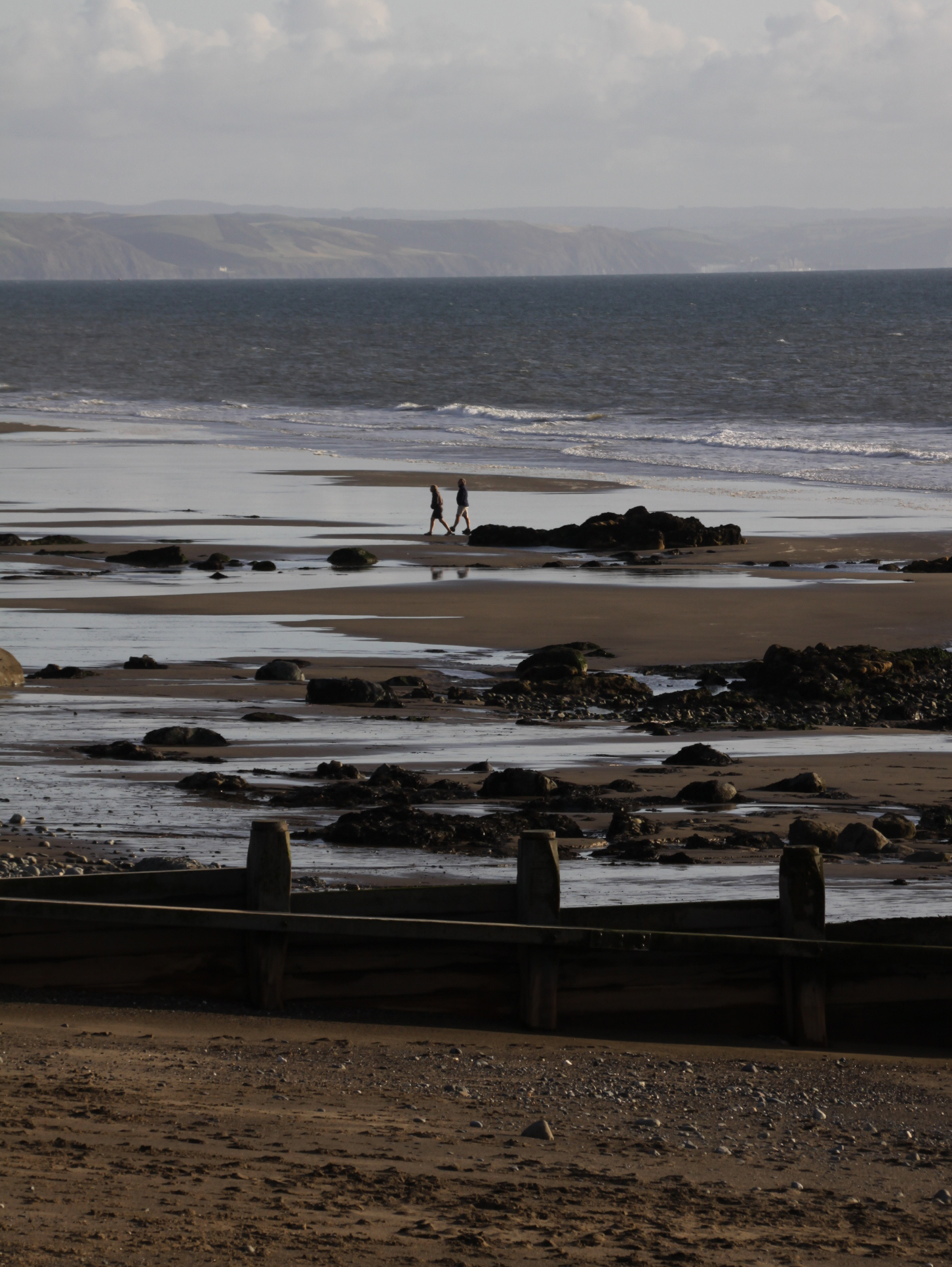
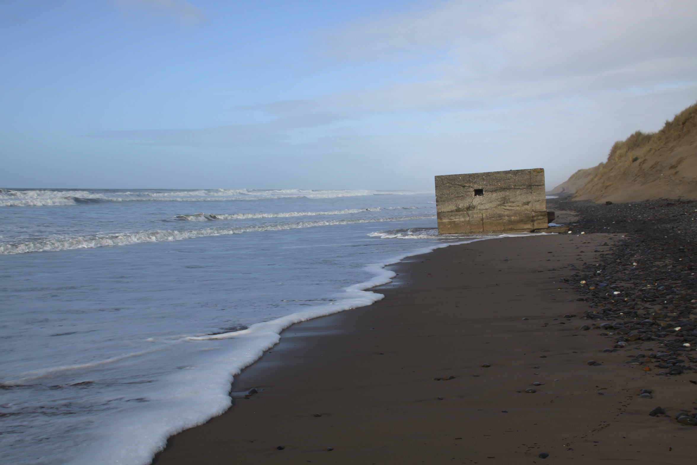
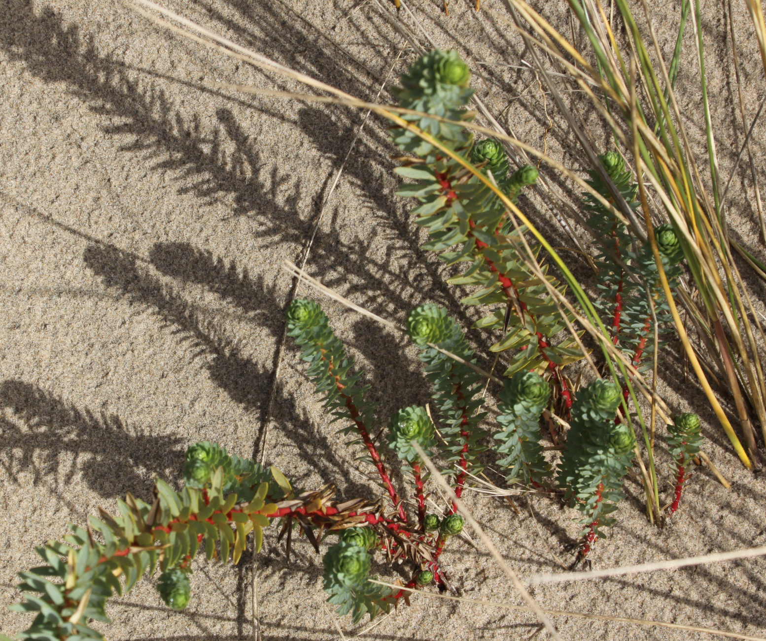
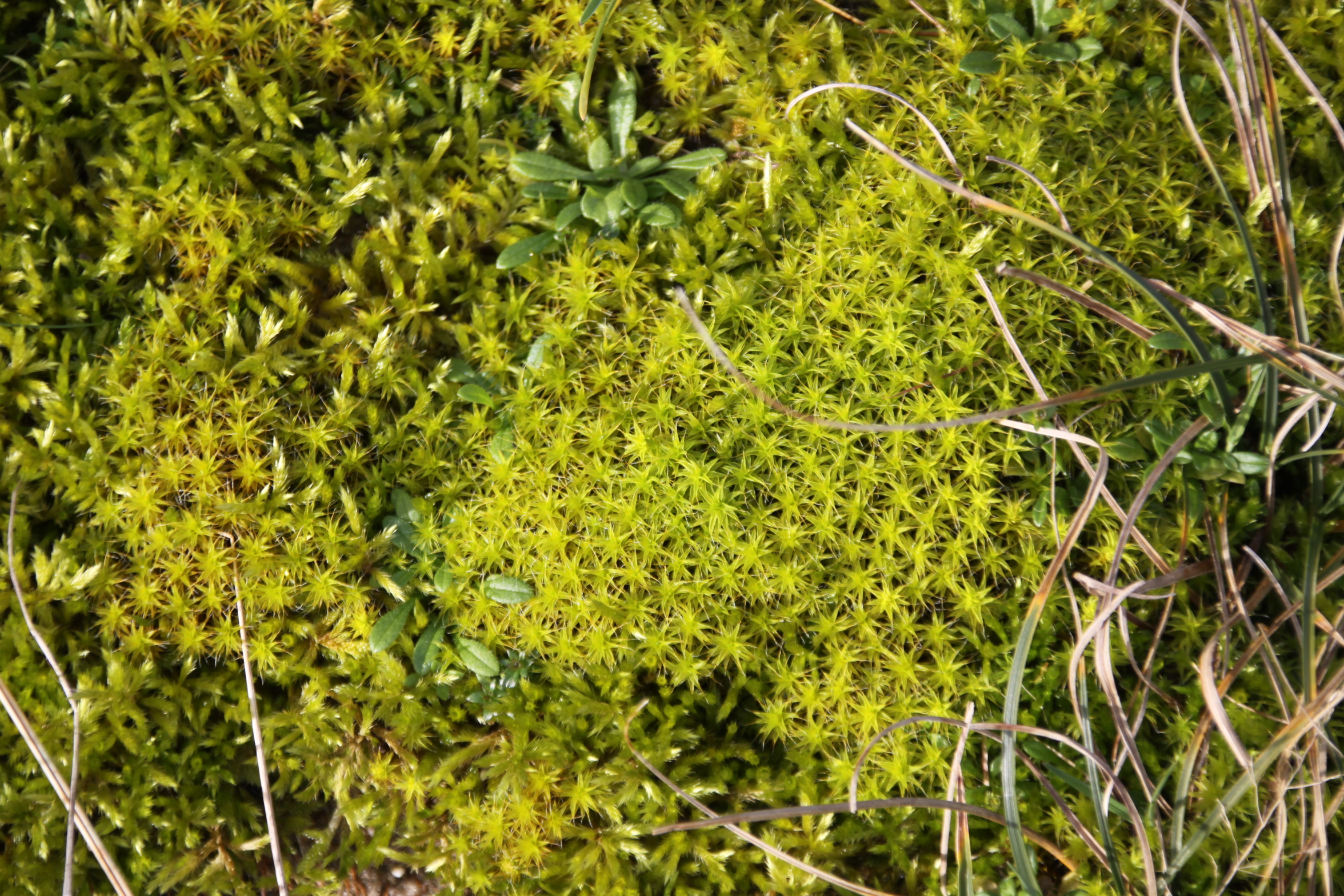
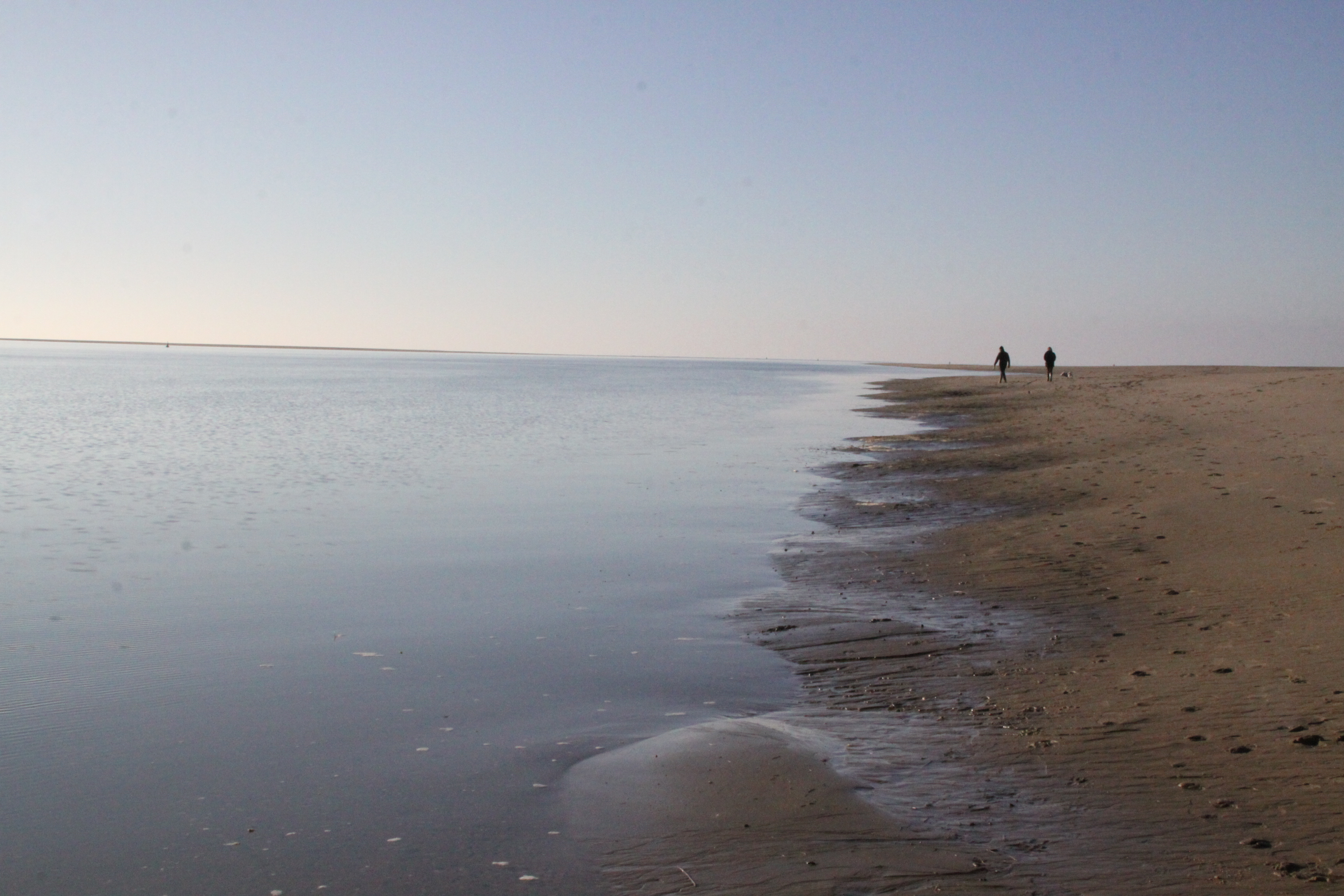
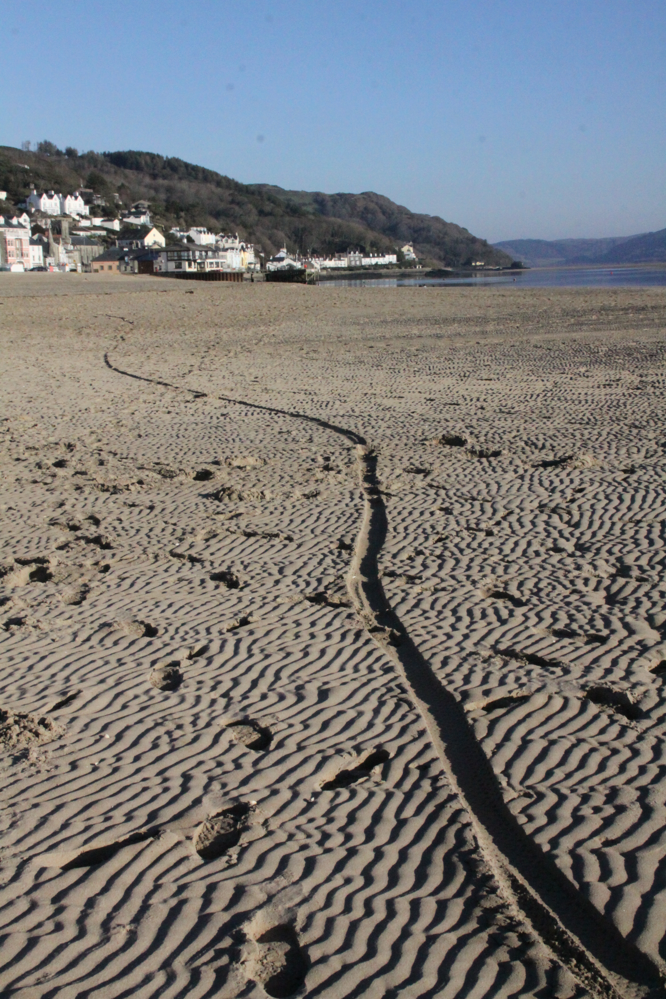
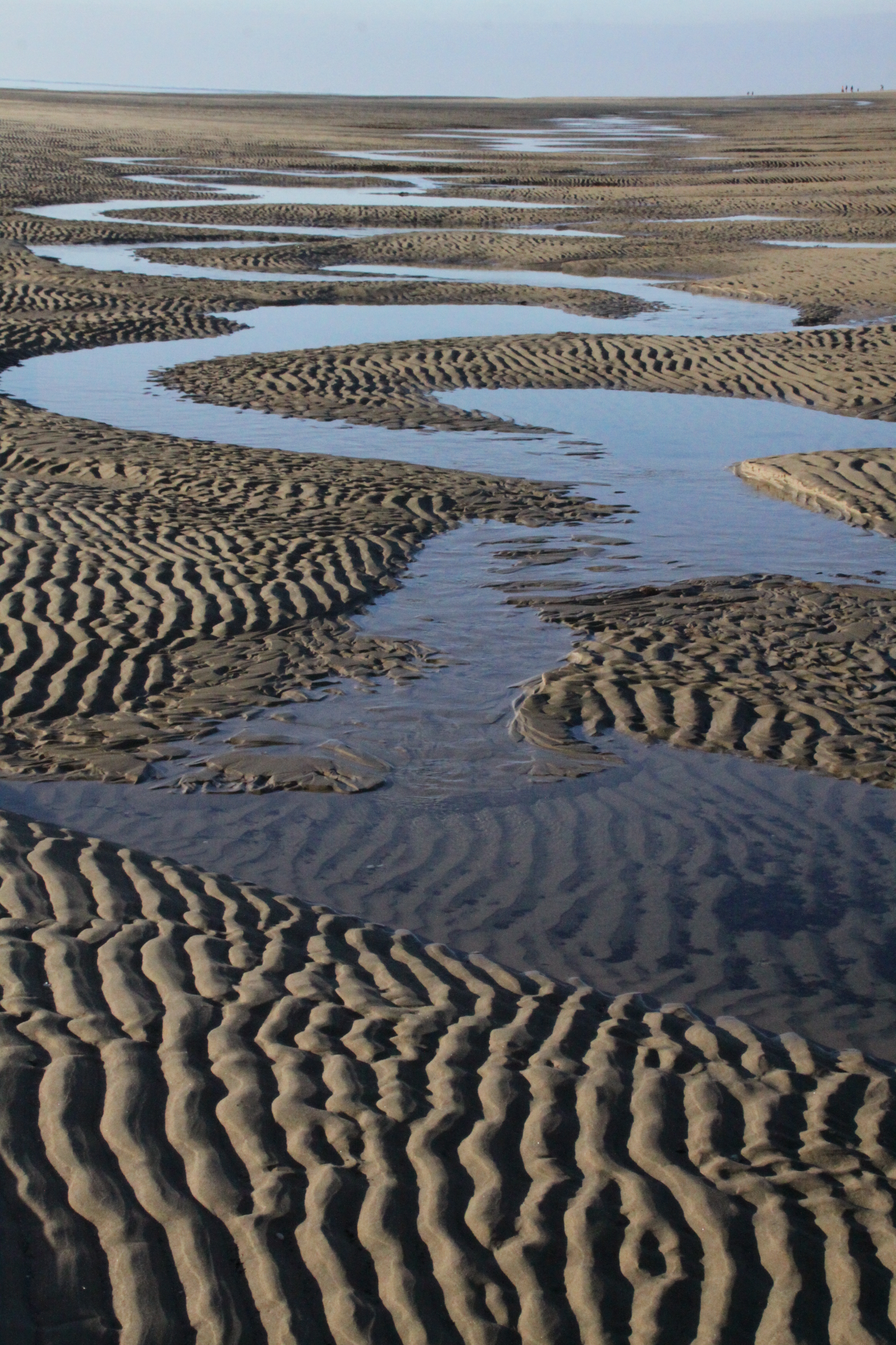
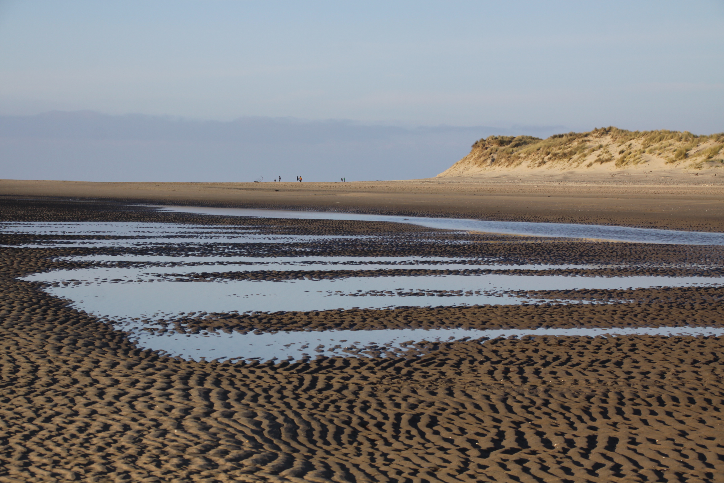
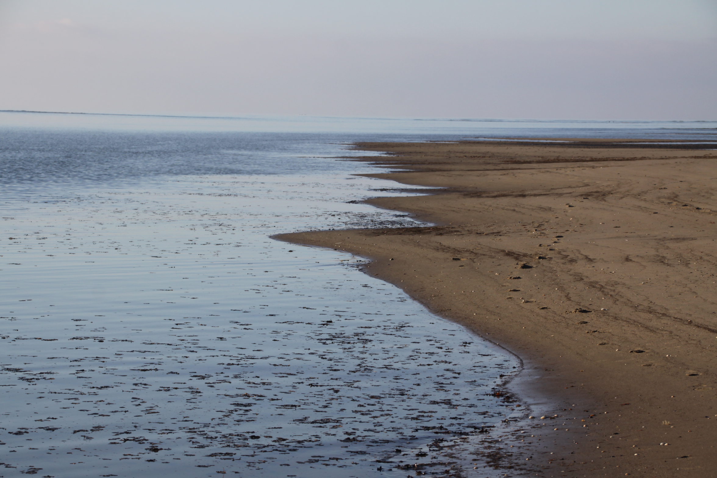
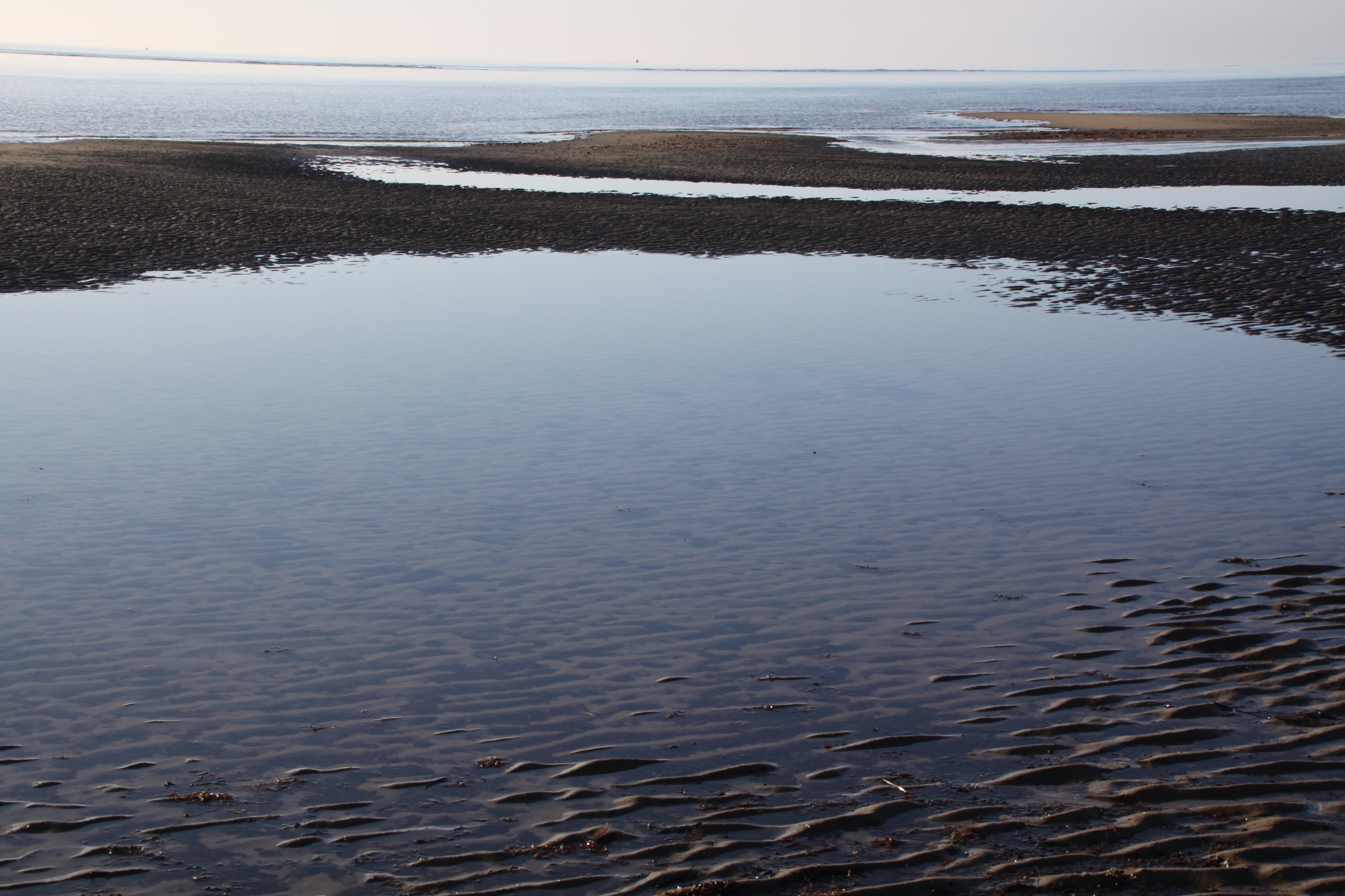
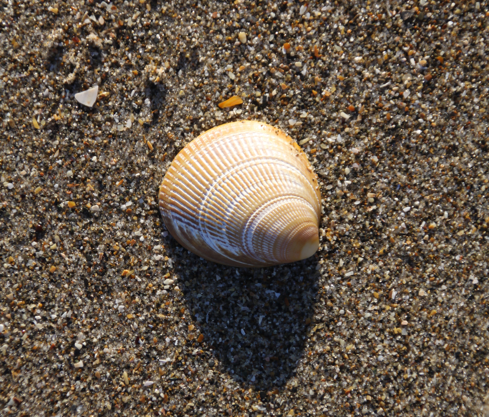
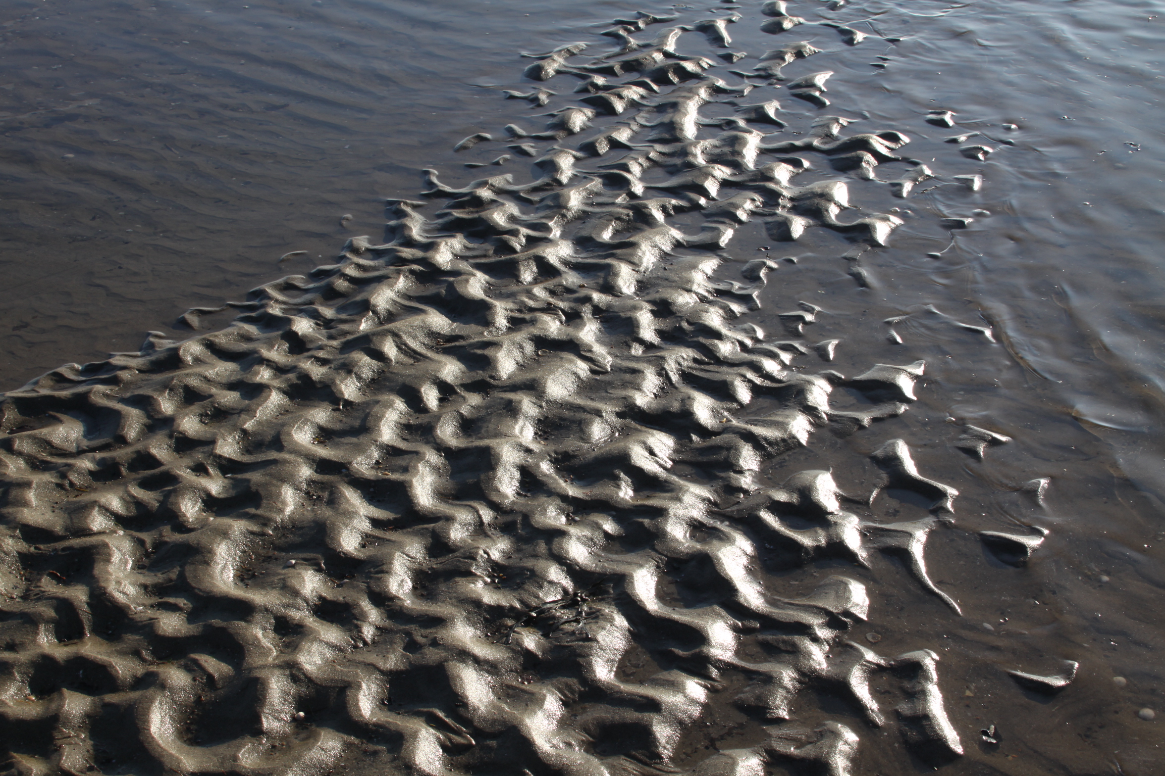
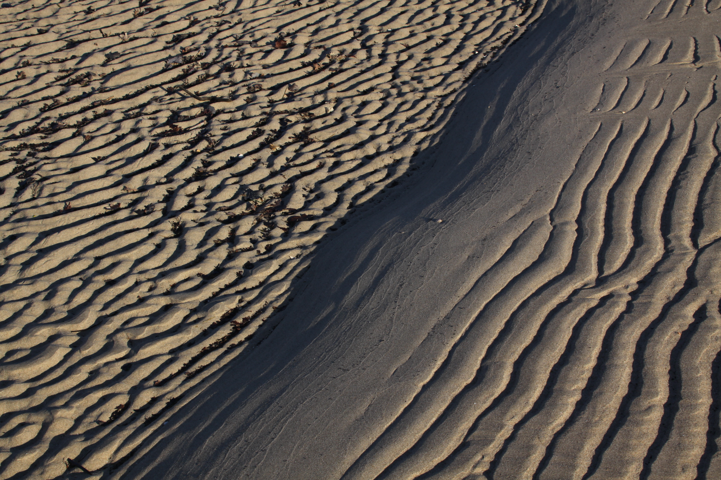
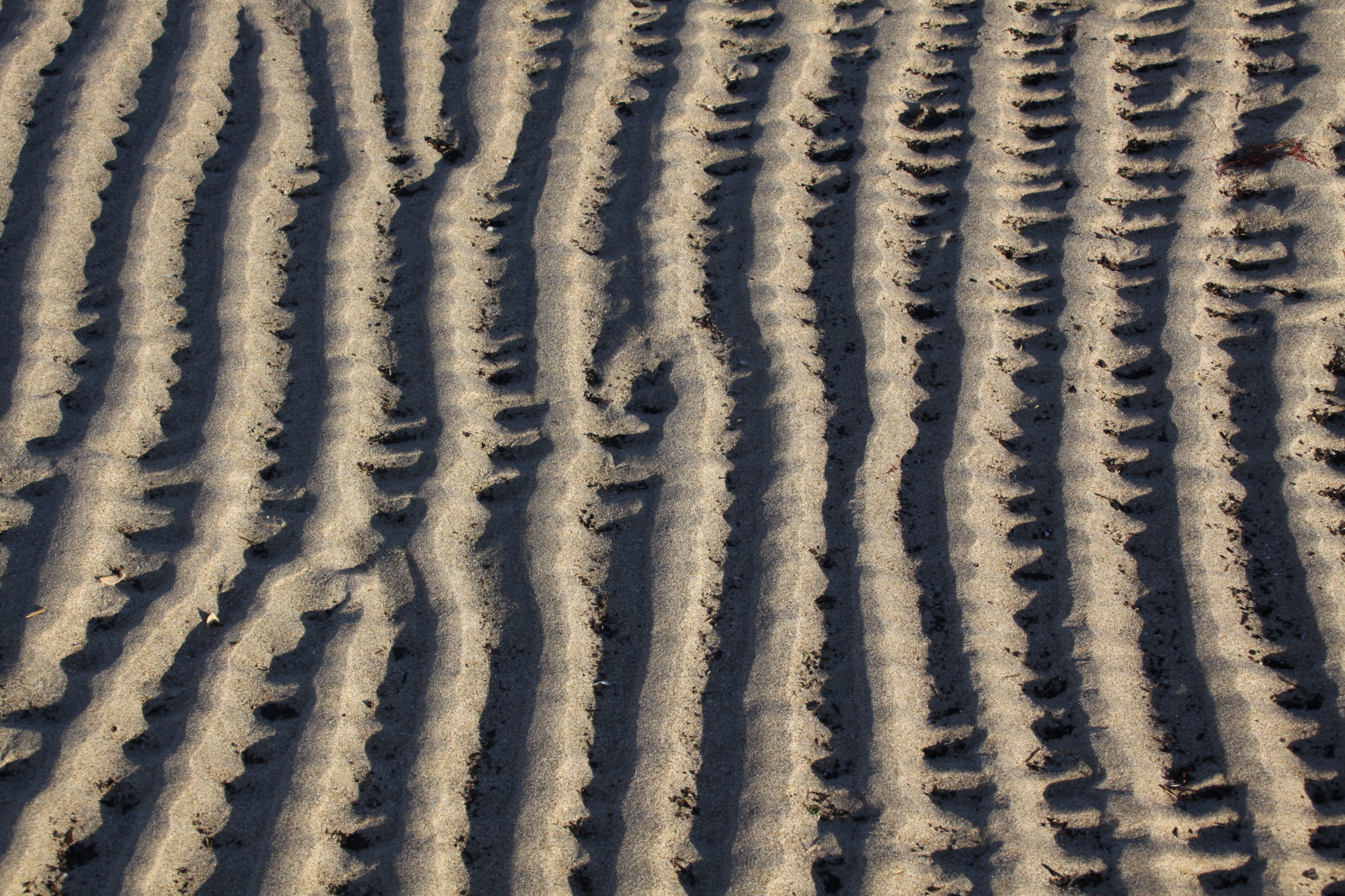
I was so sorry to hear that the excellent Ynyslas Visitor Centre has been threatened with closure by natural Resources Wales, without any public consultation.  Fortunately, there is an active campaign to try to keep it open, but it is important that as many people as possible sign the petitions.  The Visitor Centre is a terrific resource at the heart of the Ynyslas nature reserve, where I spent many happy hours walking through the sand dunes and collecting shells on the beach.  This is a site of special scientific interest, and merits a visitor centre.  The Visitor Centre itself is a lovely building where tea, coffee, sticky buns and relevant literature have always been available, together with information about the nature reserve itself.

Here’s the Press Release from the Prevent the Closure team:

Local residents and concerned ‘Ynyslas lovers’ from as far afield as Knighton and Sheffield met with political representatives to express their opposition to Natural Resources Wales (NRW) plans to mothball the award-winning visitor centre, without any consultation or official announcement. Members of the public had only found out about the proposed closure after it was reported that staff had been told not to return to the building after the Christmas break. Elin Jones (Senedd Member) confirmed that she had met with NRW after this, and they informed her they intend to close the Visitor Centre by the end of the financial year.

NRW claimed they would continue with their statutory requirements to protect the site. However, members of the public pointed out that the staff at the centre are integral to protecting wildlife and the environment. They also play an important safety role and are essential to the nature education element of the site. Without proper management and vigilance, the delicate biodiversity at Ynyslas could be destroyed overnight. There is concern over an influx of unregulated campervans,  large groups of motorbikes, poachers and people generally not understanding the importance of protecting the dunes.

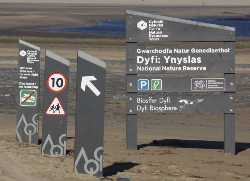
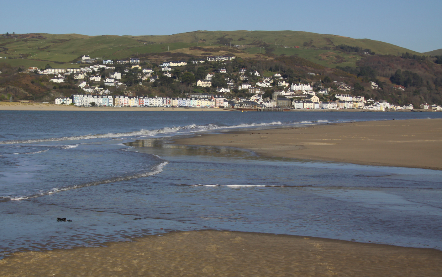
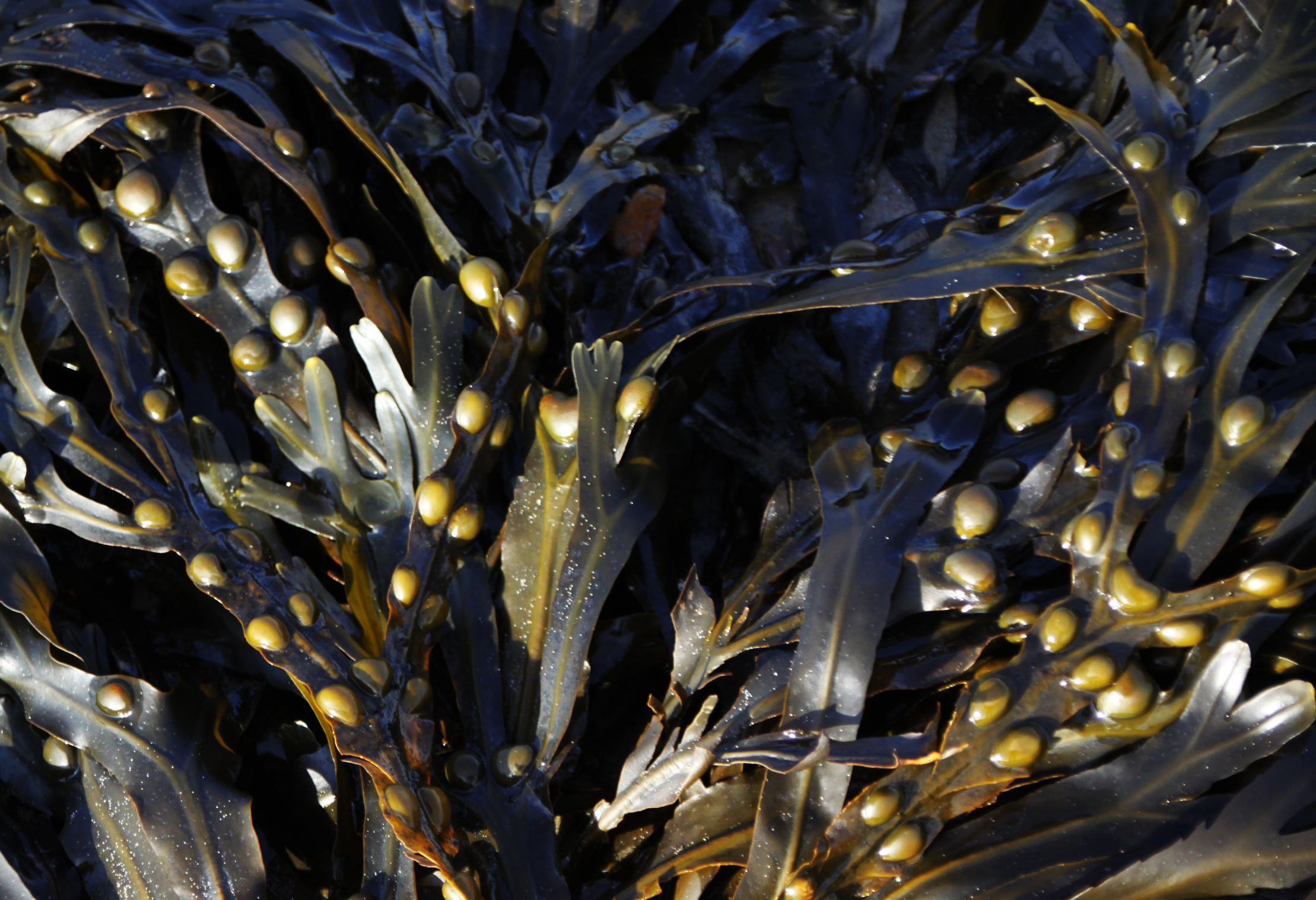
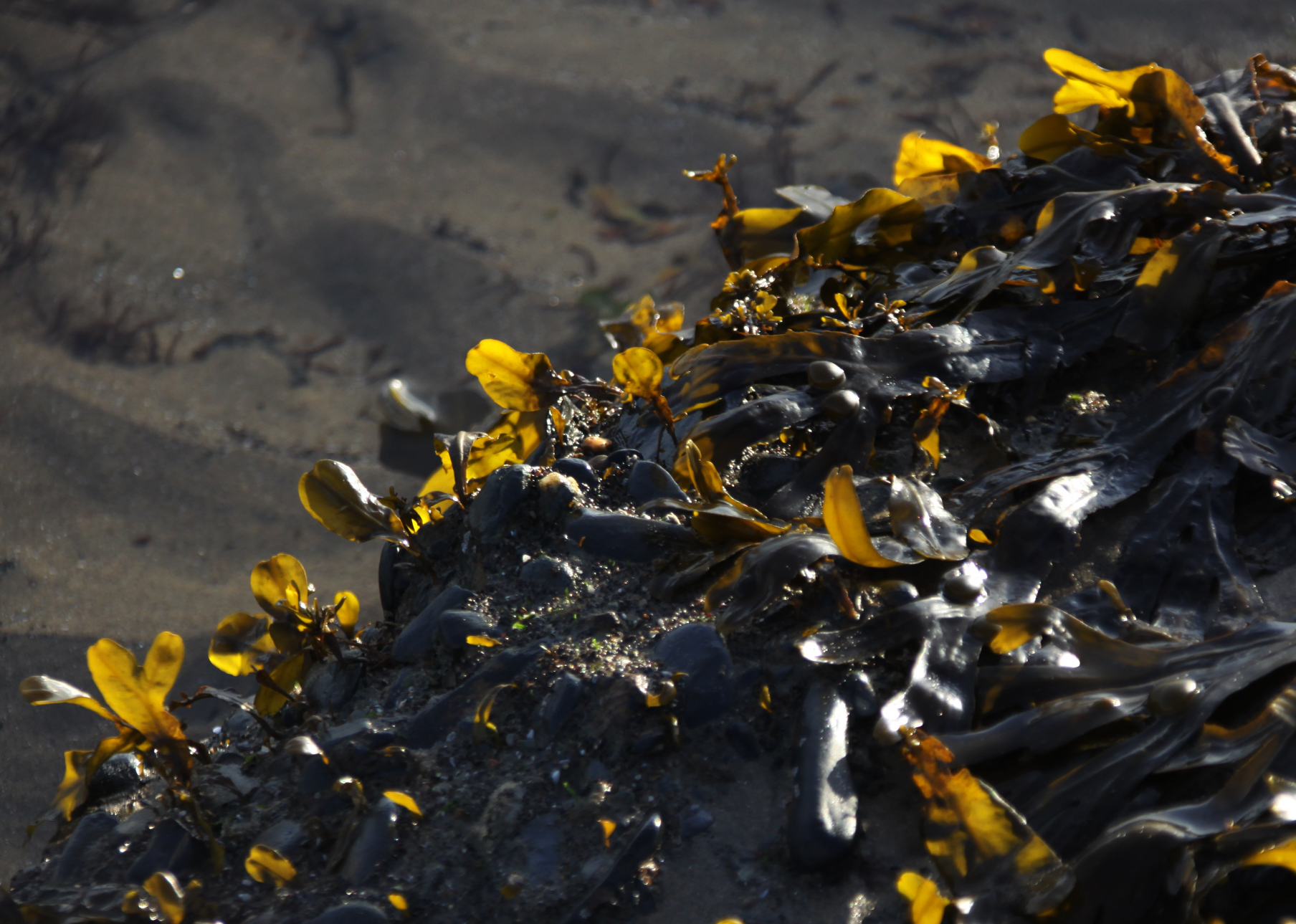
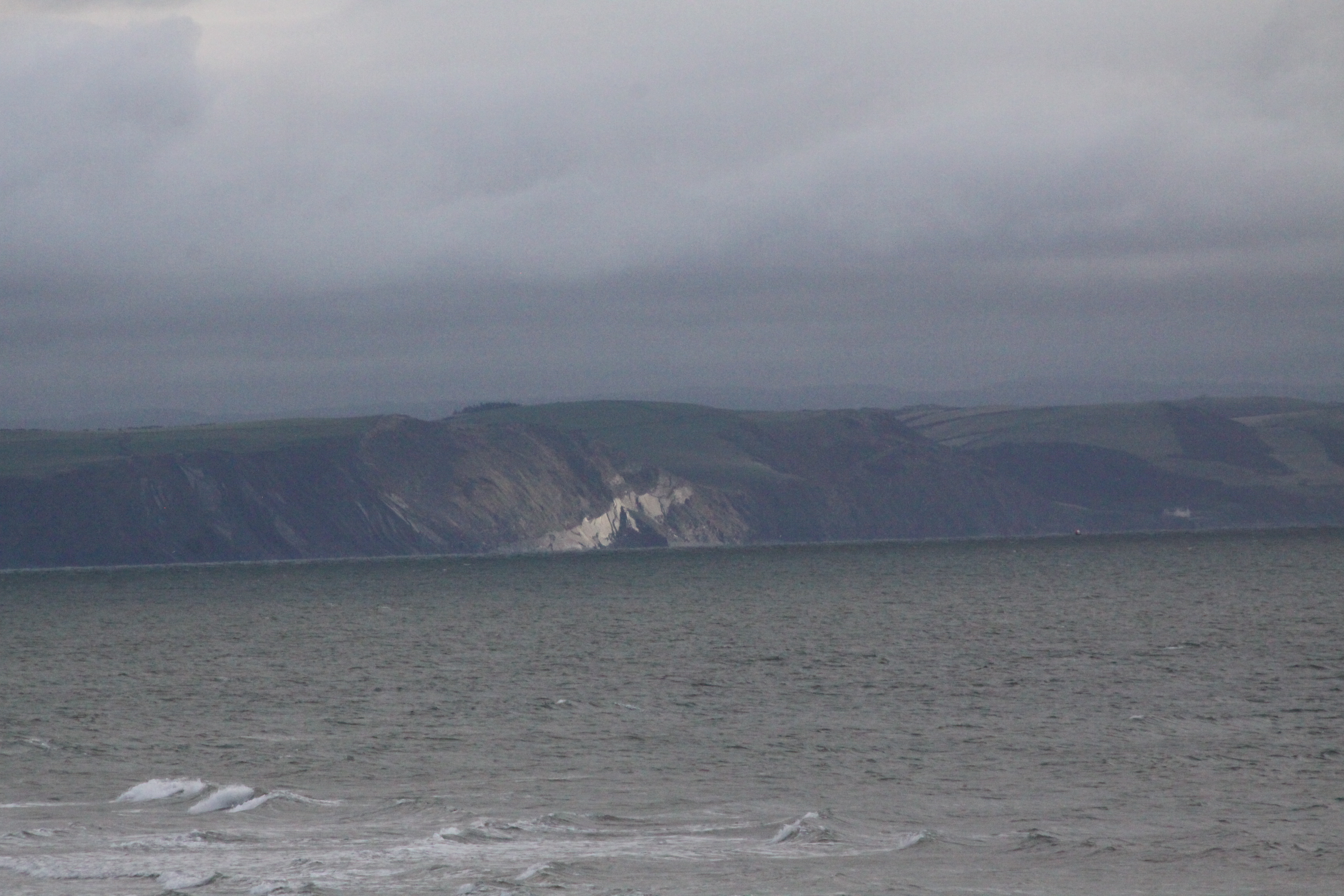
Attracting over 250,000 visitors a year, Ynyslas is a jewel in Ceredigion’s crown. The estuary is a nesting site for ringed plovers, and there is abundant wildlife in the dunes, including grass snakes, adders and rare orchid varieties.

While NRW are claiming they can close the Visitor Centre without endangering the local ecology, the meeting pointed out this was not the case. NRW have tried to close Ynyslas ‘on the quiet’ due to funding shortages. They are now claiming they are looking for a charity, CIC or commercial organisation to take on the management of the building but, to date, have not put out any such information publicly.

The hastily convened ‘Achubwch ein Canolfan – Ynyslas – Save our Centre’ group opposes the closure and is demanding that NRW meet the local community, discuss their plans transparently and rethink their strategy. The activists are of the opinion that the Visitor Centre and the site as a whole is commercially viable, with parking fees bringing in significant revenues. However, without having met NRW, no one really knows what is going on. The group maintains that the site and the centre are inextricably linked and cannot be separated from each other.

A Change.org petition has garnered almost 5,000 signatures https://www.change.org/p/prevent-the-closure-of-ynyslas-visitor-centre

A petition has also been registered with the Senedd https://petitions.senedd.wales/petitions/245961

Contact Polly Ernest on 07980 862582 (pollyernest@me.com) for more information.
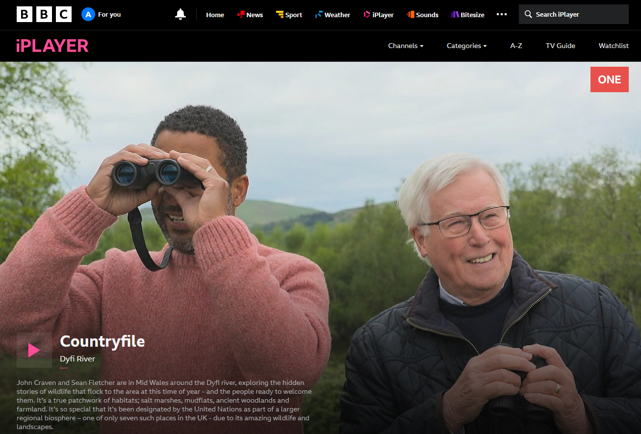
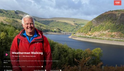
 

The beach at Tywyn – more views

I enjoyed the beach so much during our short stay in Tywyn, that I took a serious number of photographs.  Here are another bunch, slightly different from the previous one.


Views from Tywyn over the hills behind the Dysynni and beyond

On a recent flying visit to Tywyn, walking along the beach towards the Dysynni, it was terrific to see the autumn light on the hills and water over the Dysynni valley, like Tal y Garreg, Llechlwyd and Craig yr Aderyn (Bird Rock).  During the Iron Age some of these hills housed fortifications, implying that the landscape below was farmed at this time, just as it was further to the north.  A beautiful place to live on a day like this, safe in the knowledge that the central heating waits back at the ranch, but it must have been a hard life during the Iron Age with the winter closing in.


Late afternoon light on Tywyn beach

My father and I decided to take a three-night break in the Aberdovey area.  After leaving my home in Aberdovey and moving to the Chester area in February, I decided to take a break for a few months before going back for a flying visit.  I wanted to find somewhere self-catering, and near the sea, and the place that ticked all the boxes was in Tywyn.  I have taken 100s of photographs of the beach at Aberdovey, walking a long way towards Tywyn, but only rarely took photographs on the beach at Tywyn itself.  The beach at Tywyn is so different from that at Aberdovey!

The most obvious difference is the presence of breakwaters, long wooden structures that run from the promenade down into the sea in order to lessen the erosive and carrying impact of waves and cross-currents on a sloping beach, effectively dividing the beach into multiple small sections.  When the tide is very high it is impossible to walk along the beach without climbing over the breakwaters, but a promenade along the top of the beach means that the sea can still be enjoyed by dog-walkers, joggers and visitors.

Within these divisions, the differences continue to impress.

There are lovely rock pools with superbly coloured seaweeds floating in them, the rocks sometimes housing colonies of tiny white barnacles.  Beyond the rock pools are highly textured sand structures that look a little like coral but are honeycombe reefs, made by the Honeycomb worm (Sabellaria alveolata), which form colonies.   The colonies form on hard substrates and they need sand and shell fragments for tube-building activities.  They manufacture the tubes from mucus to glue the tiny pieces together.  When the tide is out the worms retreat deep into the tunnels, but when the tide covers their reefs their heads protrude and they feed on micro-organisms in the water, including plankton.

There are lots of pebbles, rounded by being rolled in the sea and over sand and other pebbles, a variety of shapes, sizes, colours and textures.  There are almost no shells, but there are occasionally limpets, which are only rarely found at Aberdovey, probably due to the lack of rocks for them to cling to.   Perhaps because of the breakwaters there is nothing in the way of a strandline capturing oddities from the sea, but this is good news for sun-bathers.  The Tywyn beach very definitely has its own personality.

Staying so close to the beach meant that we could walk along it both first thing and last thing, which was a treat.  We were so lucky with the weather, and the autumn sun, quite low in the sky, danced wonderfully on the waves.  It was cold at each end of the day, but by staying on the move, hypothermia was avoided.

Here are a few of my late afternoon snapshots.  There will be more to follow on future posts.  The light was simply extraordinary.  We’ll be back 🙂

A hazy beach at high tide


Before I left the house I checked my tide clock to confirm what the view from my window had already told me – the tide was all the way in.   It was still a surprise when I got down there at how high the tide actually was.  I have never seen waves lapping at the foot of the pillbox, for example, and there was just a thin band of sand, a couple of feet wide, because the sea had reached the pebbles and the dunes.  Checking the tide tables on my return, it was indeed a pretty high tide at 4.83m.  

There was nothing much to see on the strandline, which was mainly bladder wrack, leaves and old wood, but the sea itself was absolutely spectacular, and the sky, veering from bright blue to blue-black and back again, provided a wonderful backdrop for both the frothing white waves, the yellowish sand dunes and the bright green golf course.   There were good signs of life on the dunes, with brave early plants producing bright new leaves.  Not just a feast for the eyes, however, but the ears too.   What had originally drawn me to the beach was the thundering roar that announced itself when I opened the front door this morning and on the beach itself it was explosive.


Apart from two men wielding metal detectors, there was absolutely no-one around, so no need to worry about social distancing, which was lucky as short of scaling the sand dunes, or going for an unseasonal paddle, there were places where it would otherwise have been difficult to avoid someone coming in the opposite direction.  On my return leg via the golf course there were a lot more people around, mainly walking dogs but a small group was considerately collecting litter.

Blue skies on Sunday

It seems quite remarkable as I look out of the window this morning, that Sunday was all blue skies and sunshine, simply lovely.  Today I can barely see beyond the end of garden.  The rain is relentless and the sky such a pale  shade of grey that it is almost white.   The gloom is unbelievable.   So it is really quite a relief to look back to Sunday when I went for a stroll on the beach at low tide, much the best option for a safe way to take exercise during lockdown, as there are no gates to open or stiles to cross.


Leaflet: Precipice Walk (Dolgellau area)

If you find a dryish day in amongst the November downpours, or just want to keep a few walks in mind for summer, this is a good one.  Plus, you get two who Iron Age hillforts for the price of one, which can’t be bad 🙂  I haven’t done this for years, and cannot find the photos, but if this is a terrific walk, not at all strenuous, in spite of the stunning views that you are rewarded with over Cader Idris, the Mawddach valley and estuary, and the surrounding hills.  Incorporated into the walk is also a lovely lake, actually a reservoir for supplying water to Dolgellau, at the foot of the hill on the carpark side.  Updated info is below the leaftlet, plus a little bit about the hillforts.  You can also download the PDF here.

For those who are using GPS, I’ve noted the postcode on the leaflet above (LL40 2NG).  There’s a good sized carpark.

Ordnance Survey map showing the Precipice Walk

The walk is on private land, so access is at the courtesy of the Nannau Estate, which allows public access via the marked footpaths.  It is a very easy route to follow with easy gradients, mostly level once you get to the main walk, and the route around the hill is a circular one, as the name implies.  It is quite narrow and not recommended for anyone with vertigo.  The return leg takes walkers along the reservoir, Llyn Cynwch.   It takes about an hour an a bit, on average.

The Foel Faner hillfort on the Precipice Walk requires a small diversion from the main route, also accessible via a footpath, and well marked (marked as “camp” on the above leaflet).  This also provides some more great views.  The hillfort is an irregular oval and has a single line of defenses, quite substantially built and easy to identify (unlike some hillforts in Gwynedd).  The entrance is at the northeast, about 12ft wide, and has an additional bank to protect it.  It has very few natural defense, and the main advantage of the hillfort’s position is the visibility over a very wide area.

The second hillfort is on the hill opposite the precipice walk, so you can use the same car park and head over the road and follow a gentle footpath that runs along the base of the hill, Foel Offrwm.  When you reach a wall, turn right and follow it for about half a mile, which takes you to the entrance of the hillfort, but between where the wall ends and the hillfort begins is a steep stretch of open hillside, a much more ambitious walk than the Precipice Walk.  Unlike Foel Faner, the location is strategically good, and the views are probably even better.  There is a single line of drystone defence that is reinforced with an additional line of defence to the southeast.  There is a single in-turned entrance to the east.  Well worth a visit.


Leaflet: The Submerged Forest at Borth

I found another batch of leaflets today during a sort-out, and will post some of them in the coming weeks in case they are of interest.  I’ve never seen the submerged forest at Borth, which needs a very low tide to see it properly, but it’s now firmly on my radar.  As well as previewing the leaflet in the images below, you can download it as a PDF by clicking here:  Submerged forest leaflet