 Looking up at Craig yr Aderyn from the medieval castle Castell y Bere in the Dysynni valley to the west
This walk has been divided into two, partly because I went crazy with the camera and took too many photographs, but also because I had quite a lot to say about the hillfort. The second post, this one, is about the hillfort and what can be seen from it. The first one was about the walk itself, how to get to it, where the two different forks take you to, and what views can be seen from parts of the route.
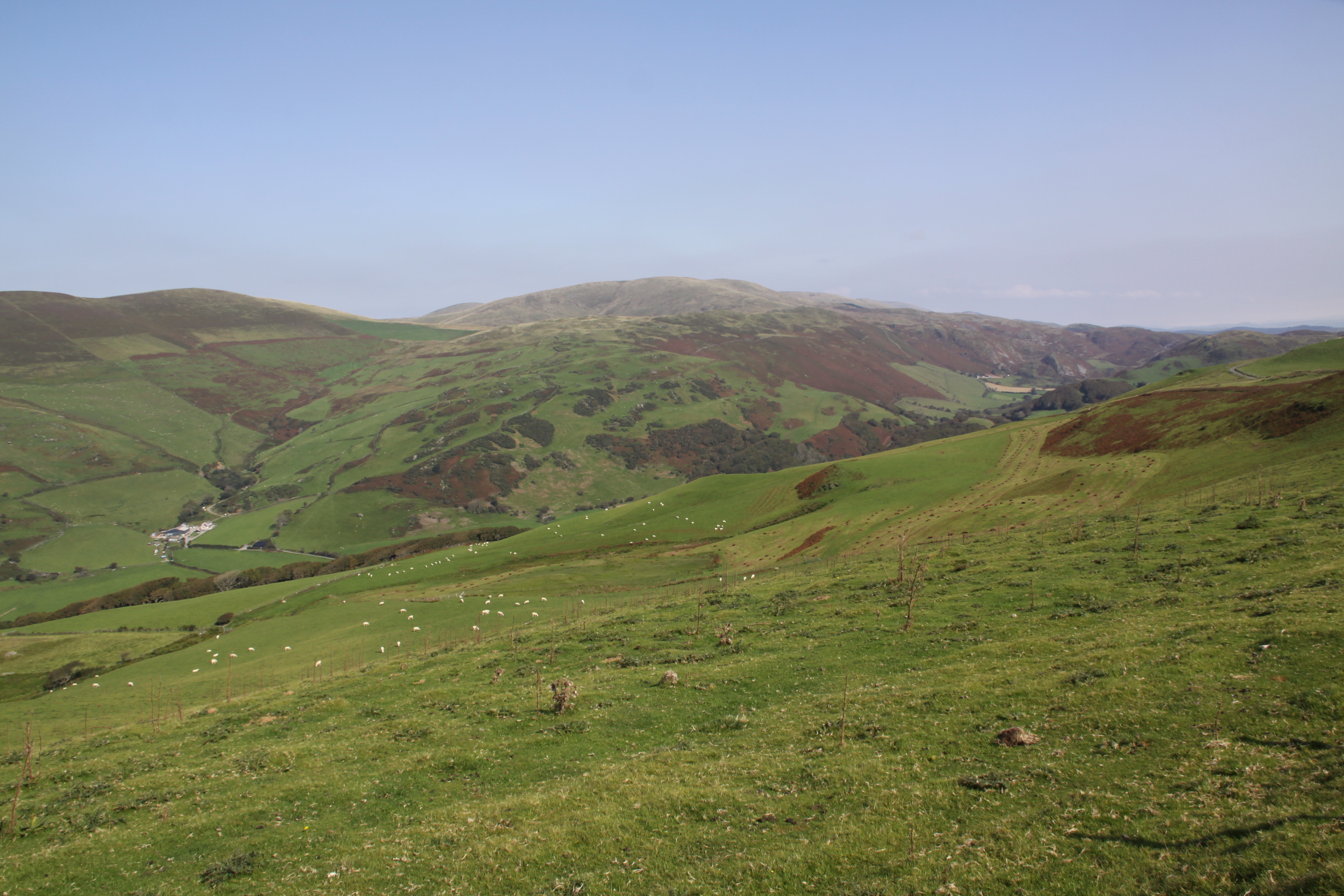
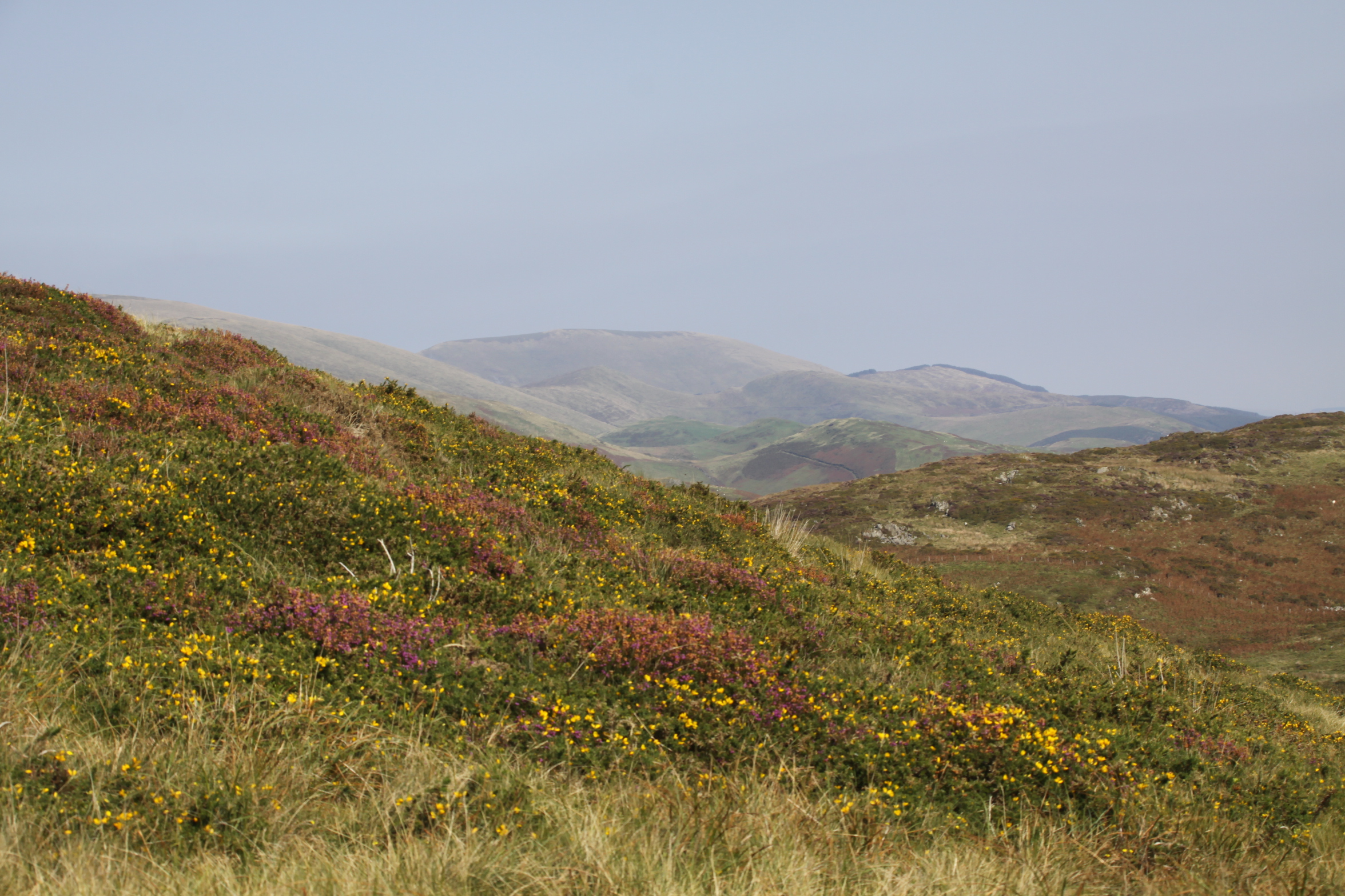
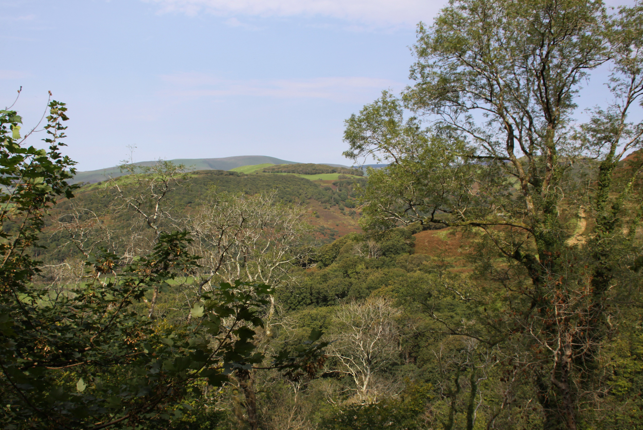
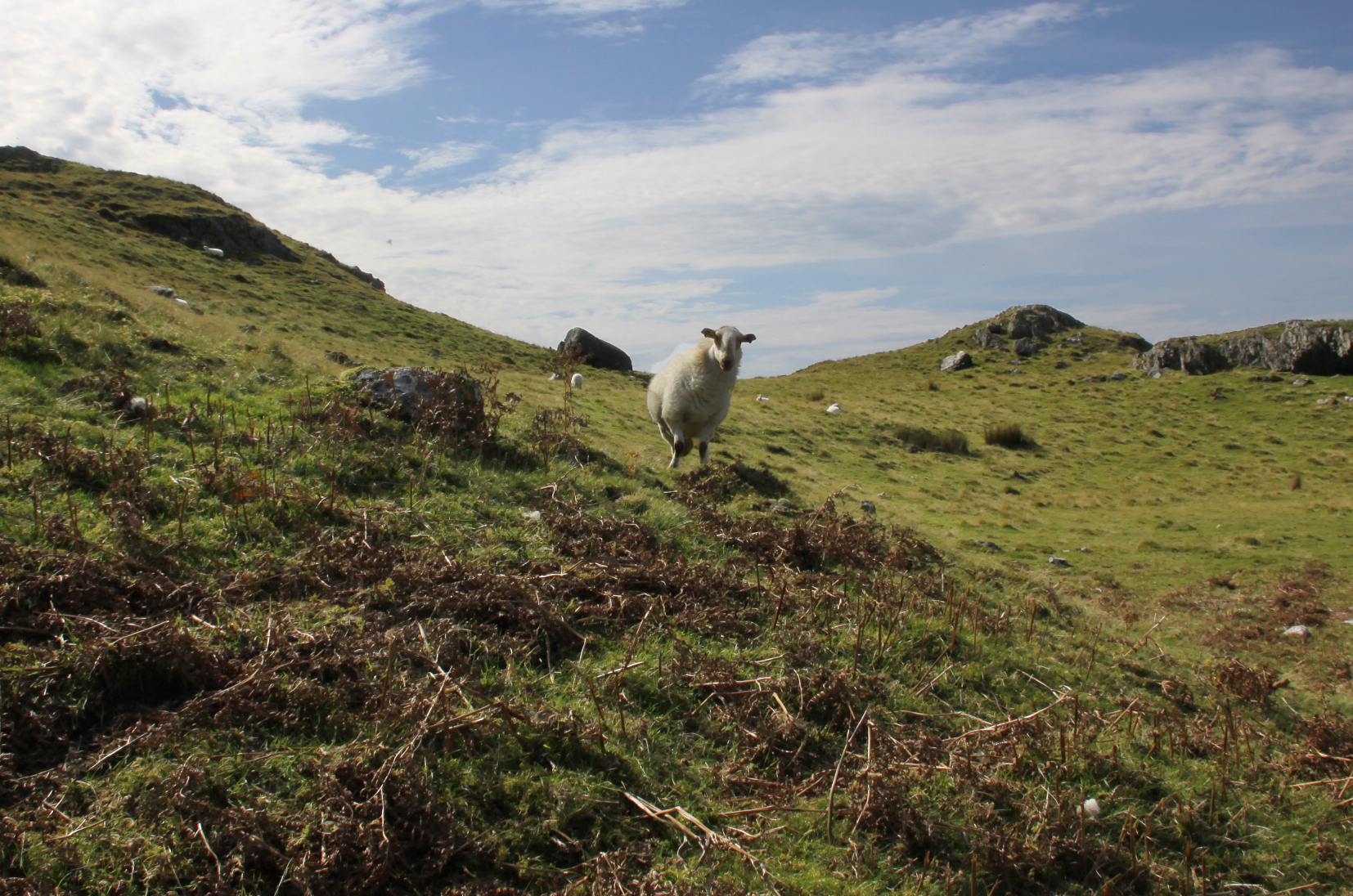
 I am currently walking as many of the nine Iron Age hillforts in the local area as I can before winter sets in. Or at least, I am when it’s not sloshing with rain and there’s no haze or mist to obscure views. Fortunately there has been some glorious weather recently, after a rather soggy summer. One of the wonderful things about hillforts is that the views are often terrific, and Craig yr Aderyn is simply the best. It dominates the Dysynni valley from miles around, catching the light in dramatic ways, but I had never seen it up close. Approaching it along the lovely road from Llanegryn for the first time, I was somewhat staggered when I rounded a corner and suddenly found it looming over me. Drifting happily down the road, I had no idea that I had arrived so near to it.
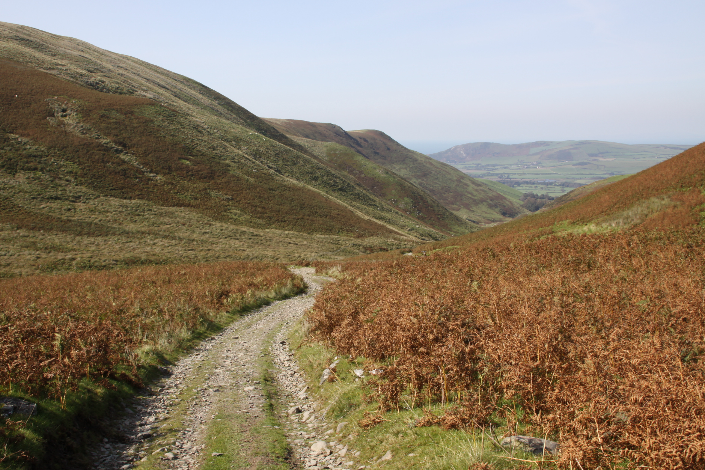
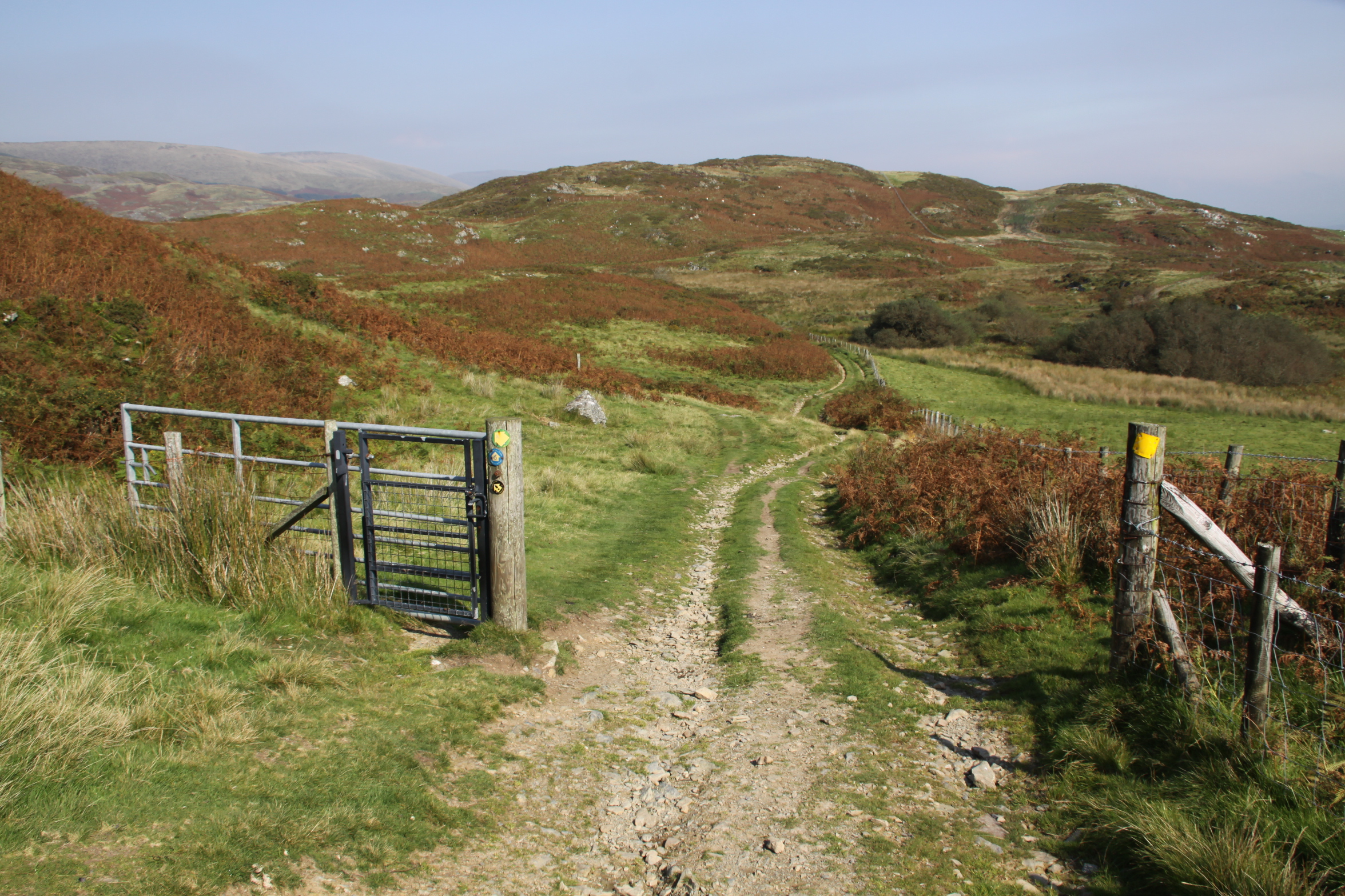
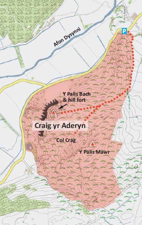
Craig yr Aderyn is a highly visible local landmark in the Dysynni valley (SH643068), and is approached by small B-roads from Bryncrug or Abergynolwyn. For full details of reaching Craig yr Aderyn and the route up, see my other post, about the walk rather than the hillfort.

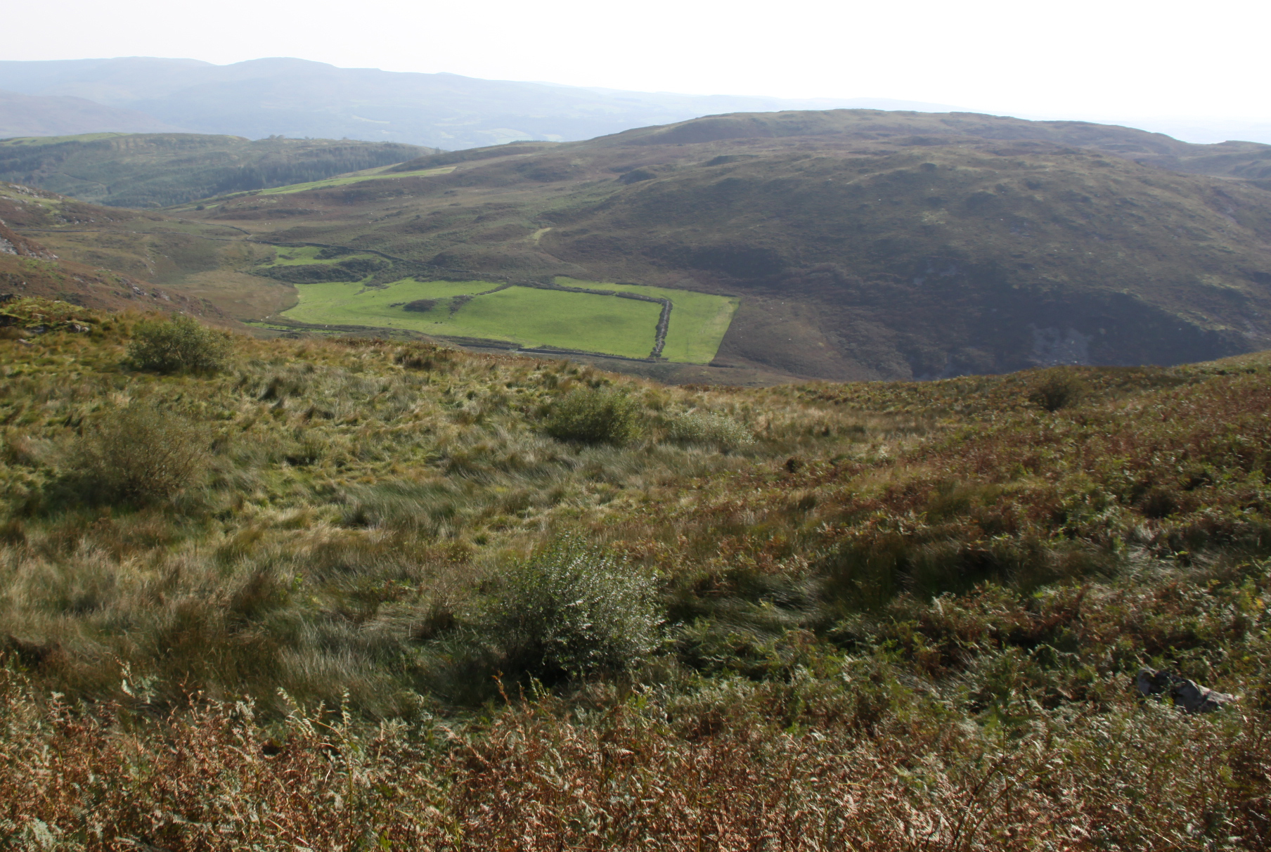
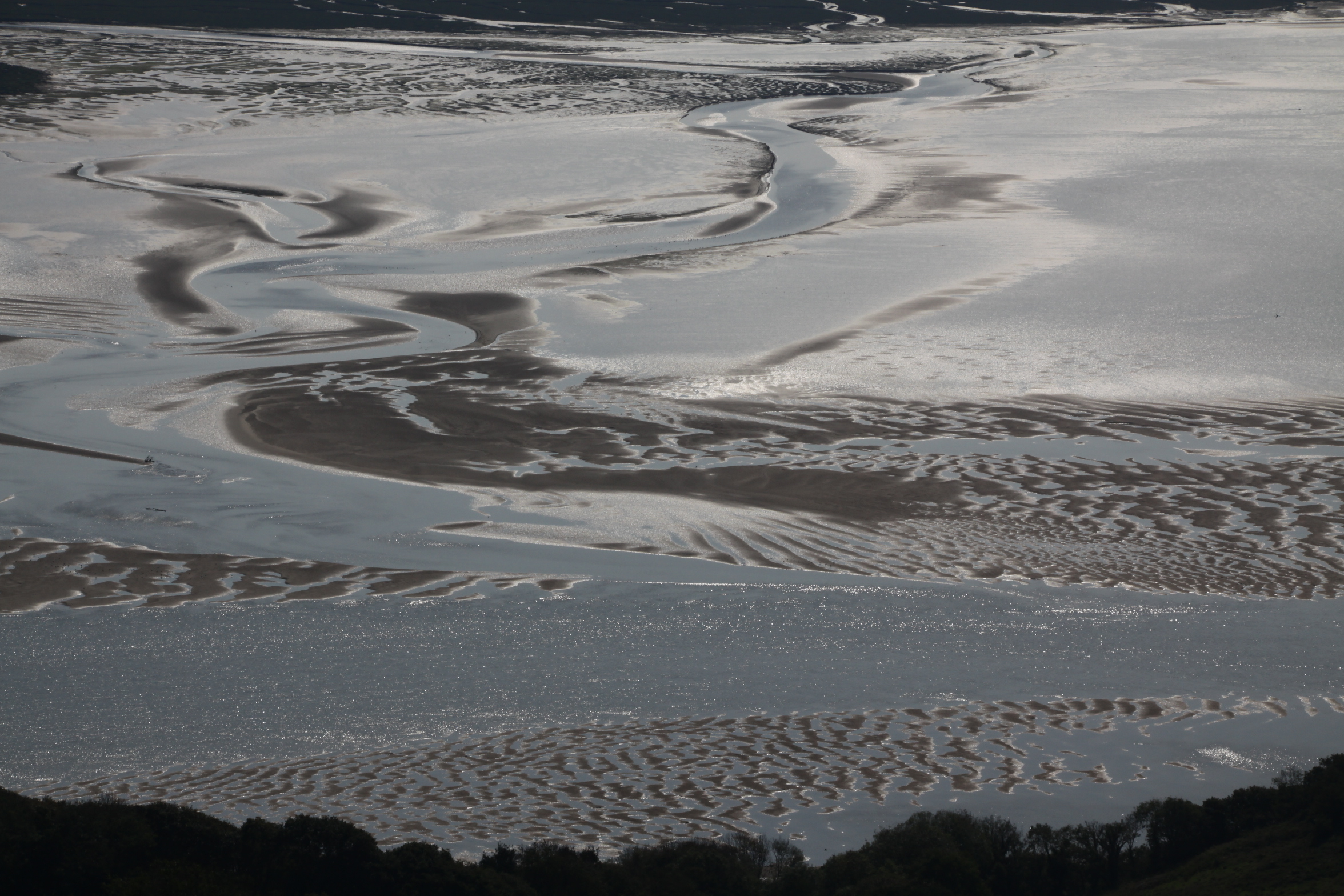
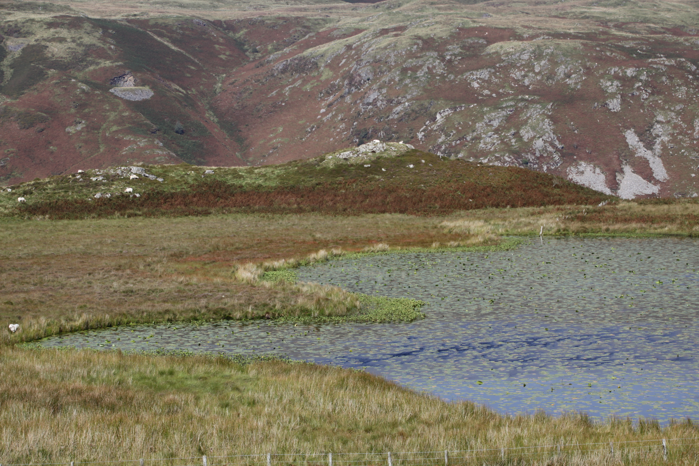
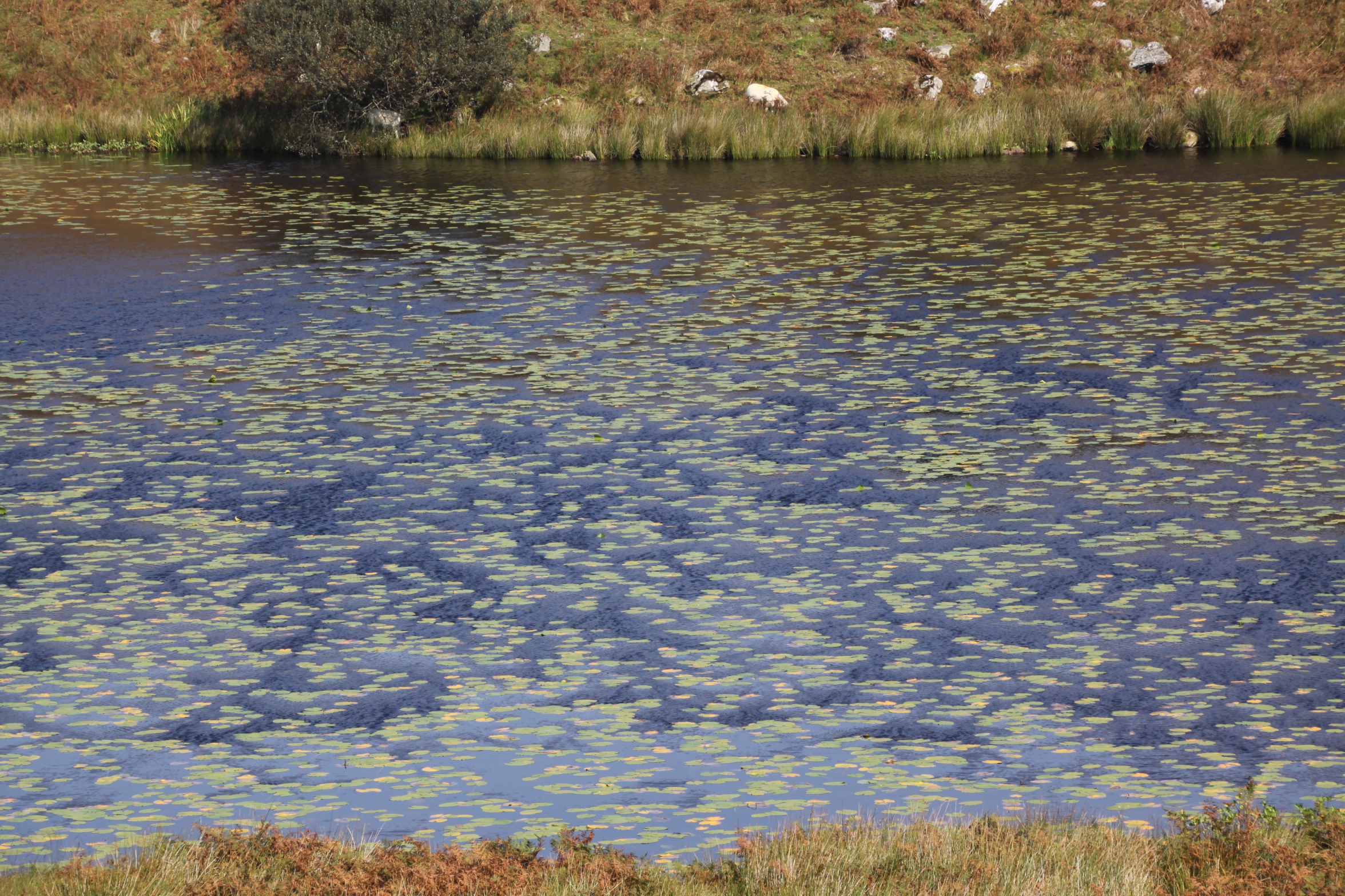
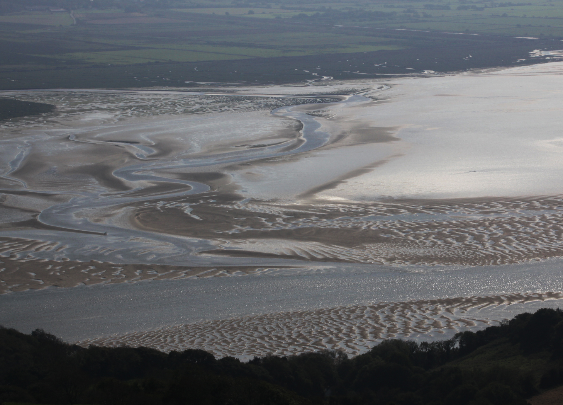
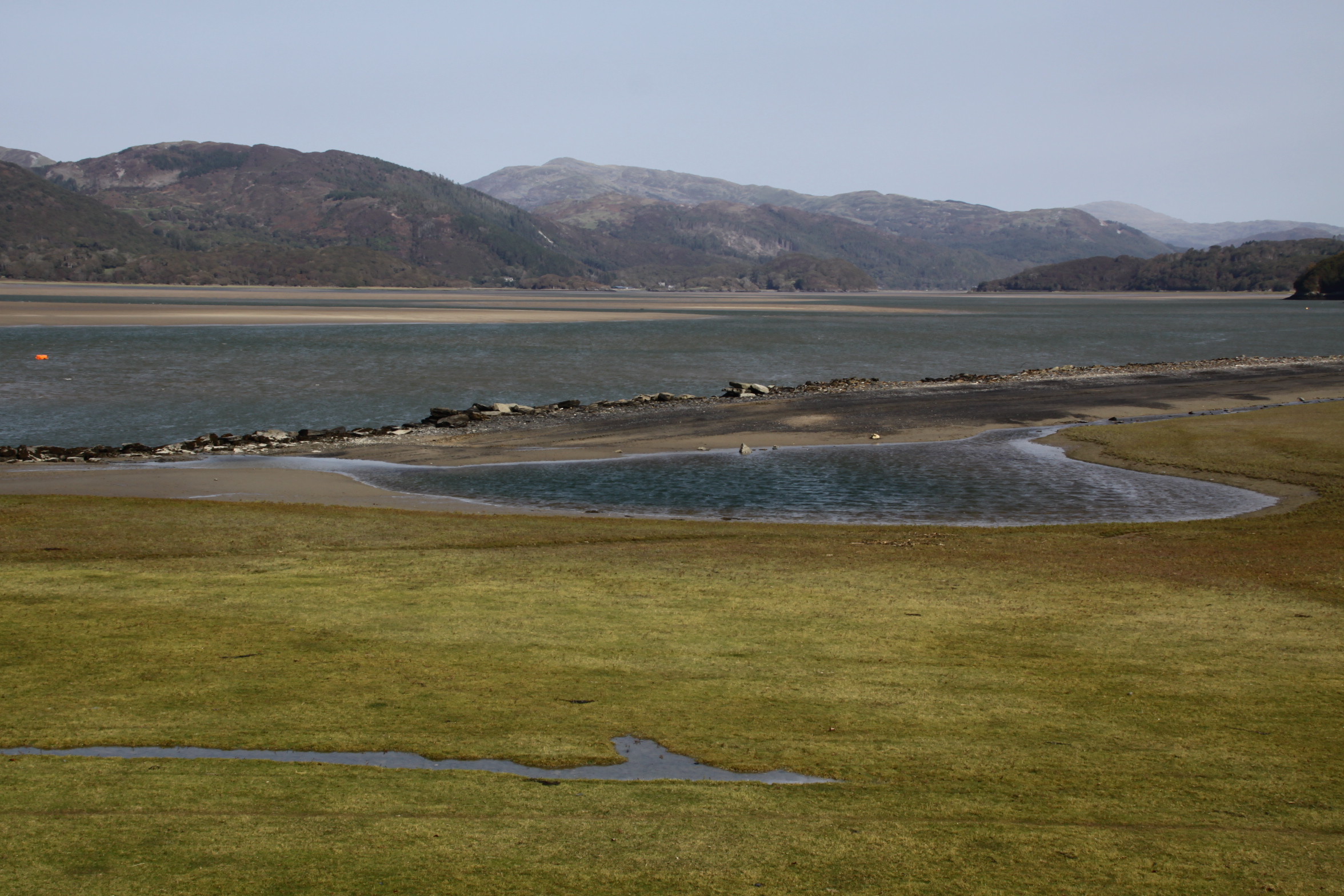
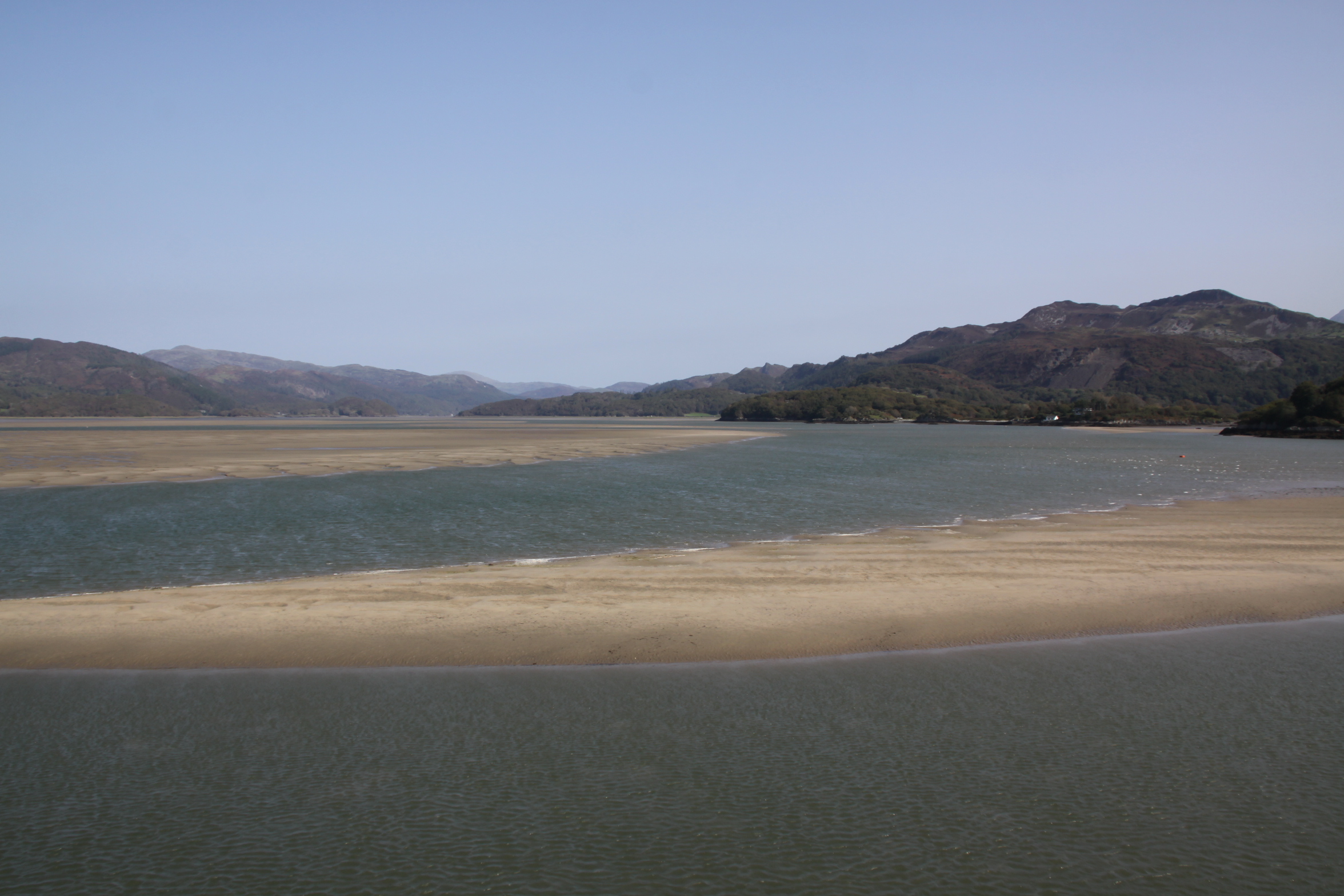
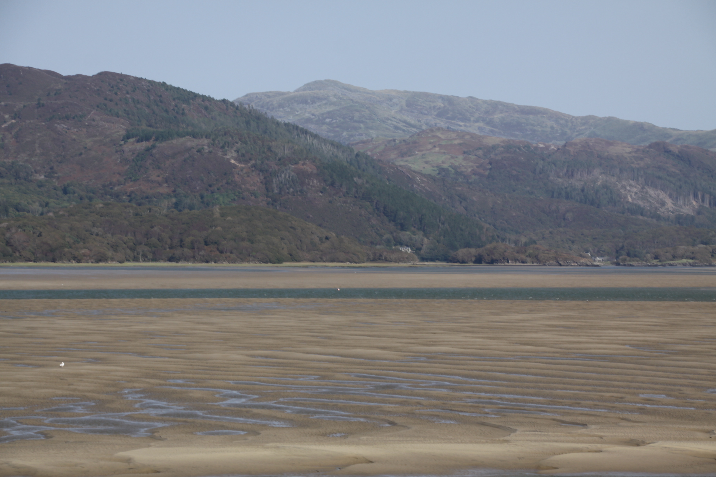
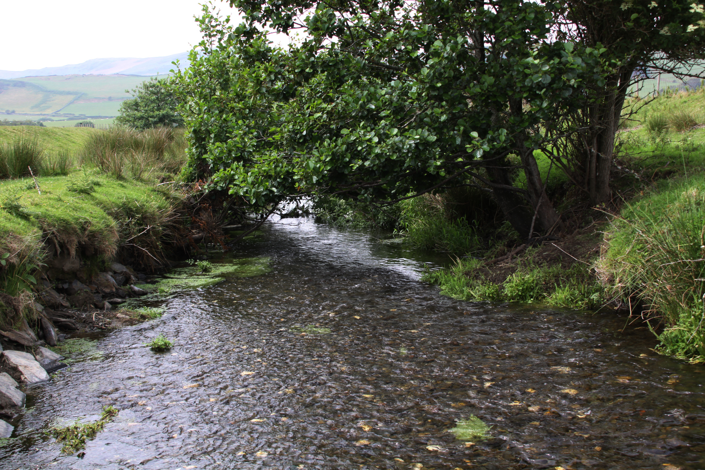
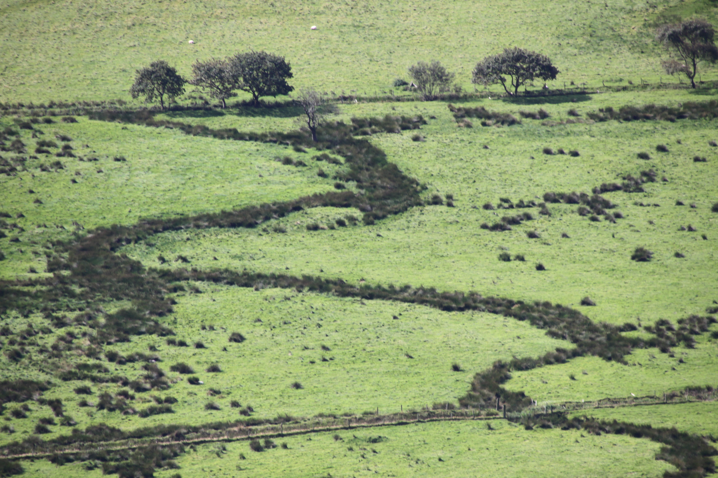
A distinctly soggy part of the Dysynni floodplain.
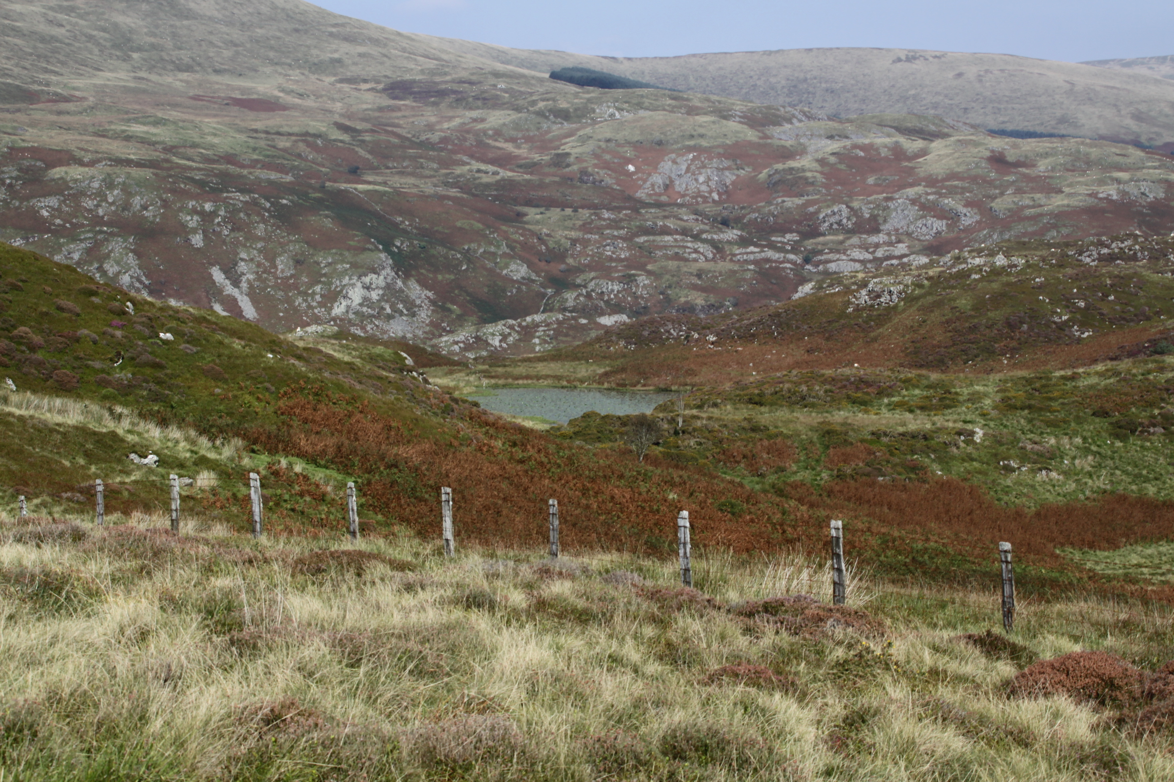
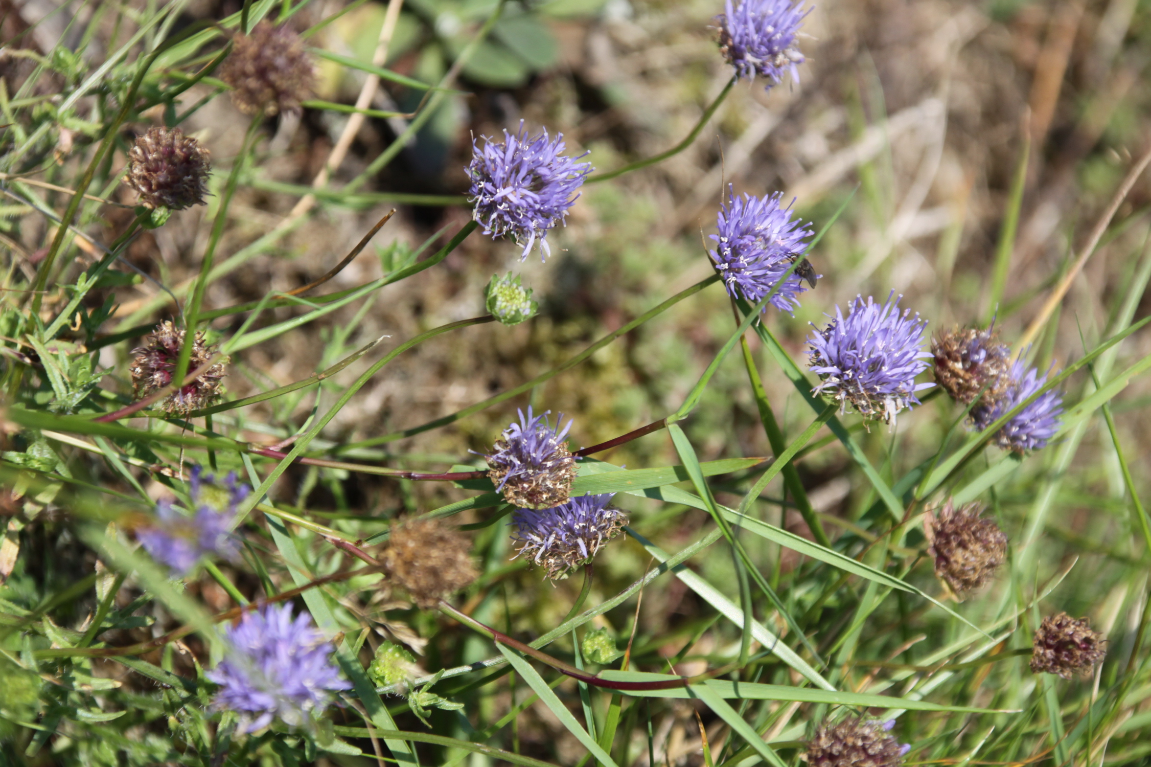
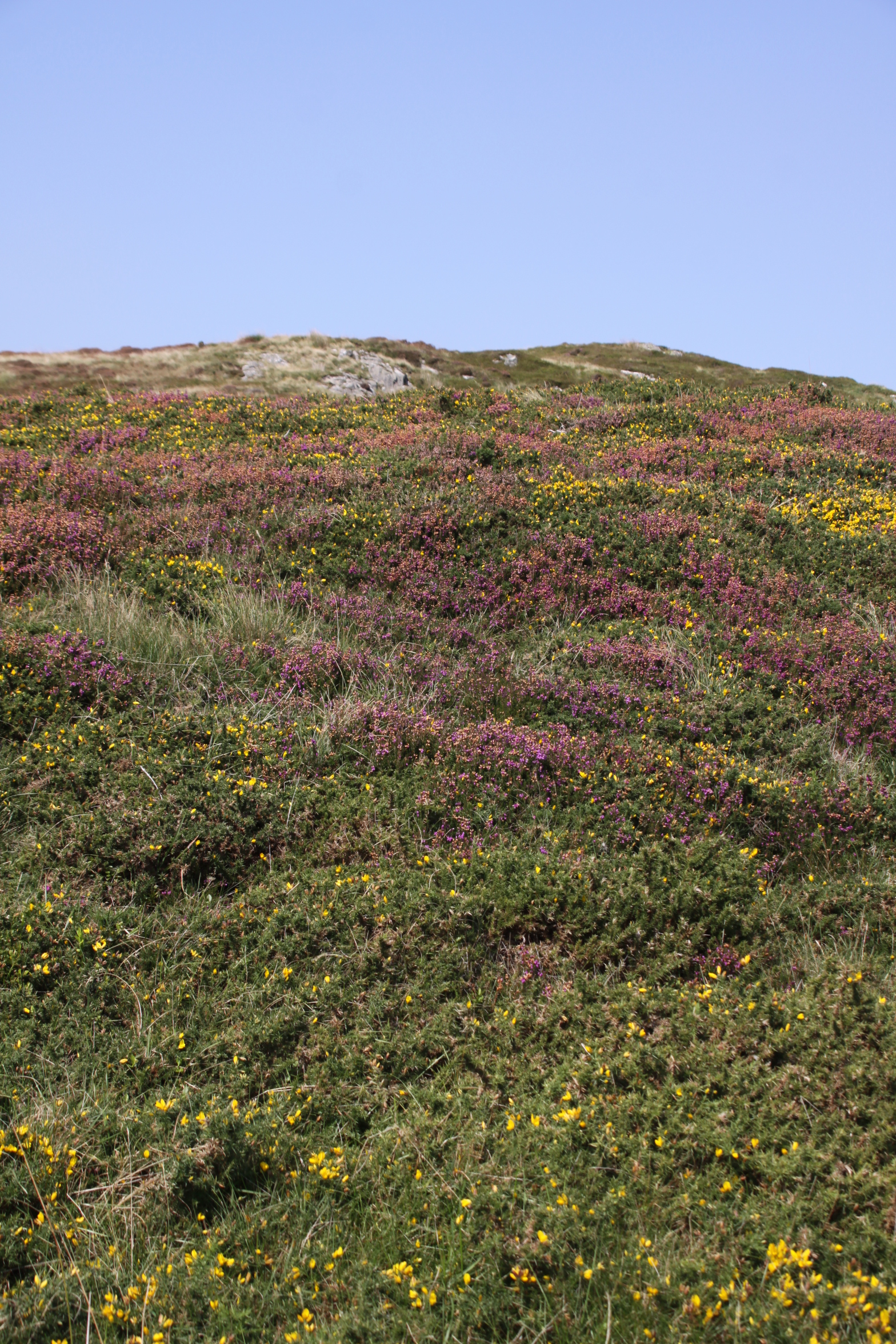
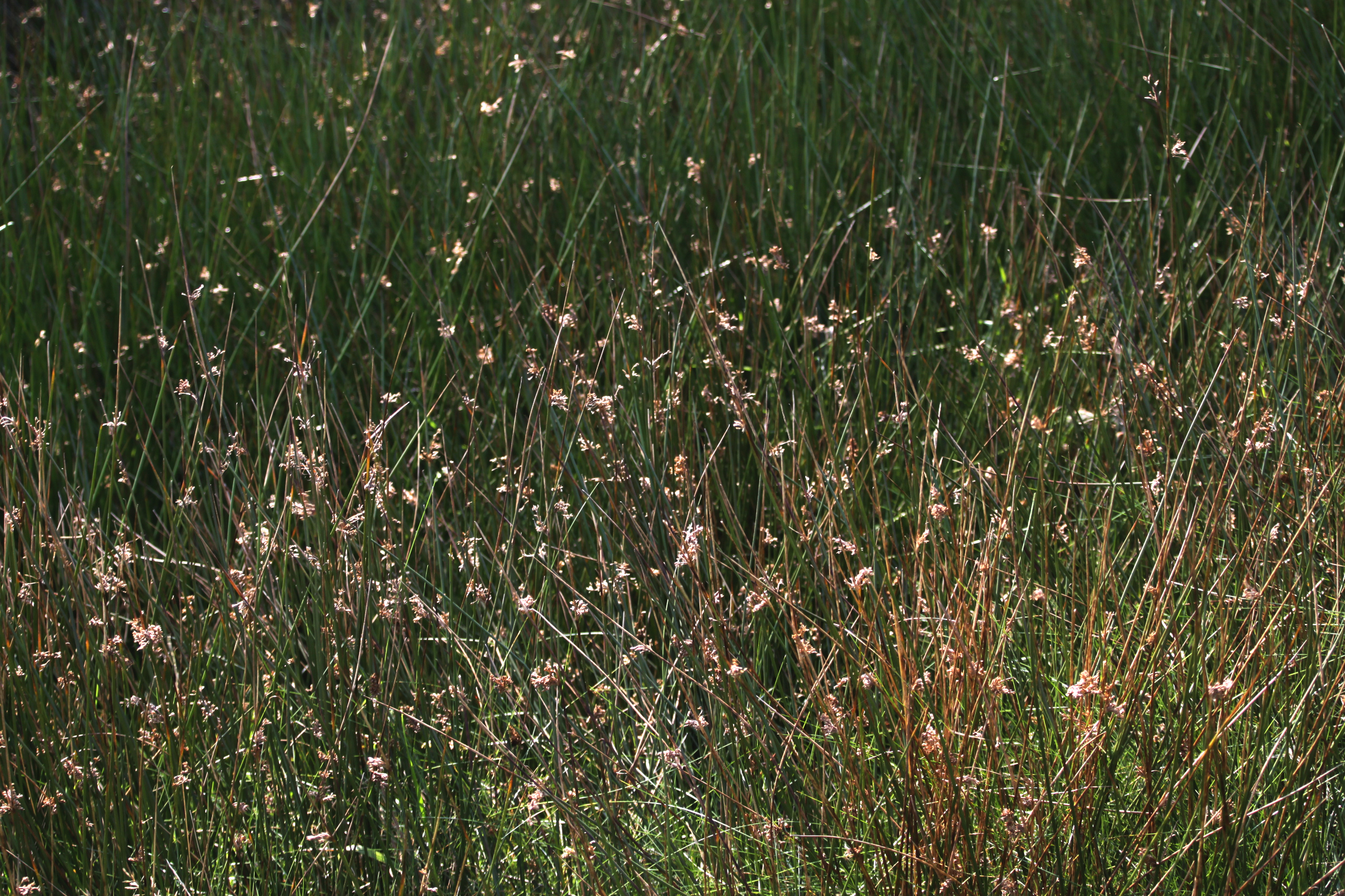
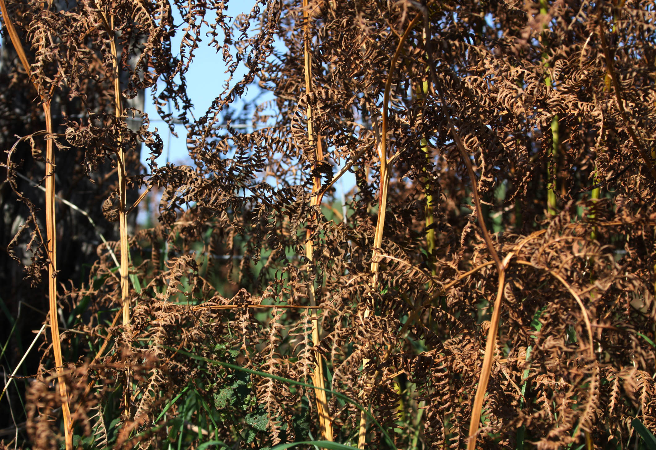
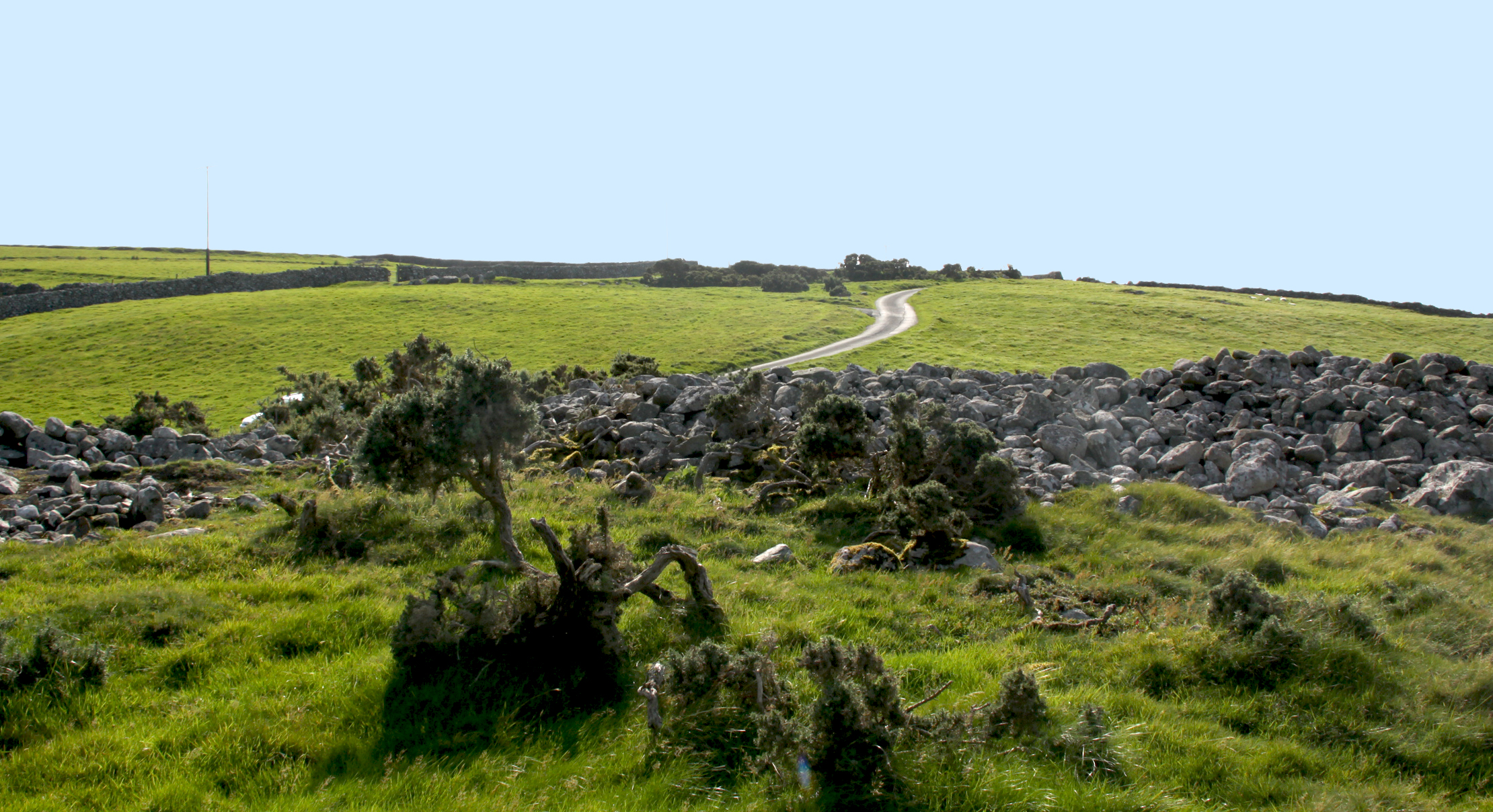
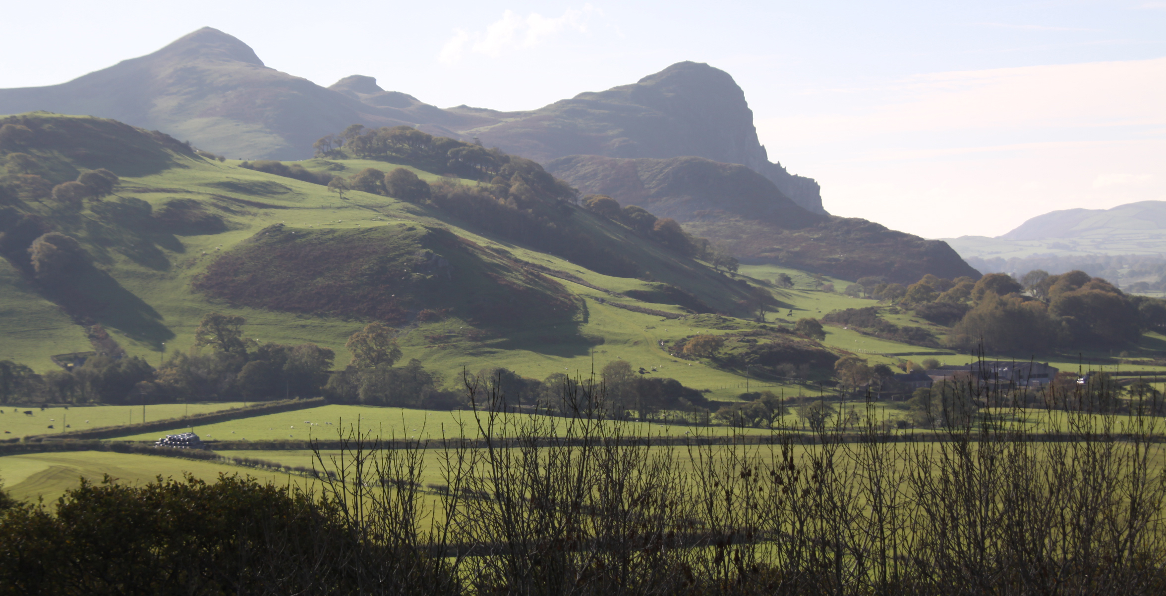
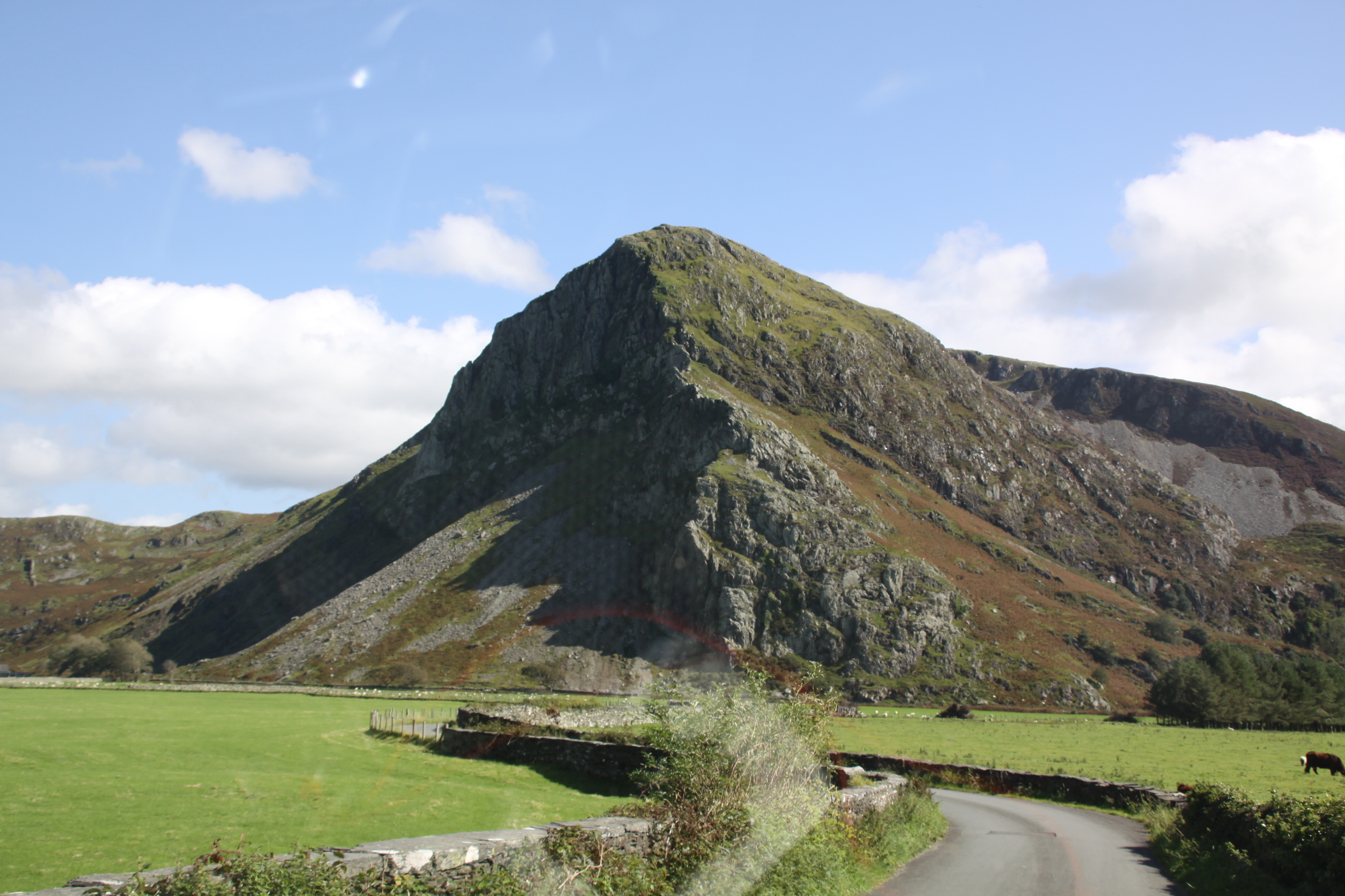
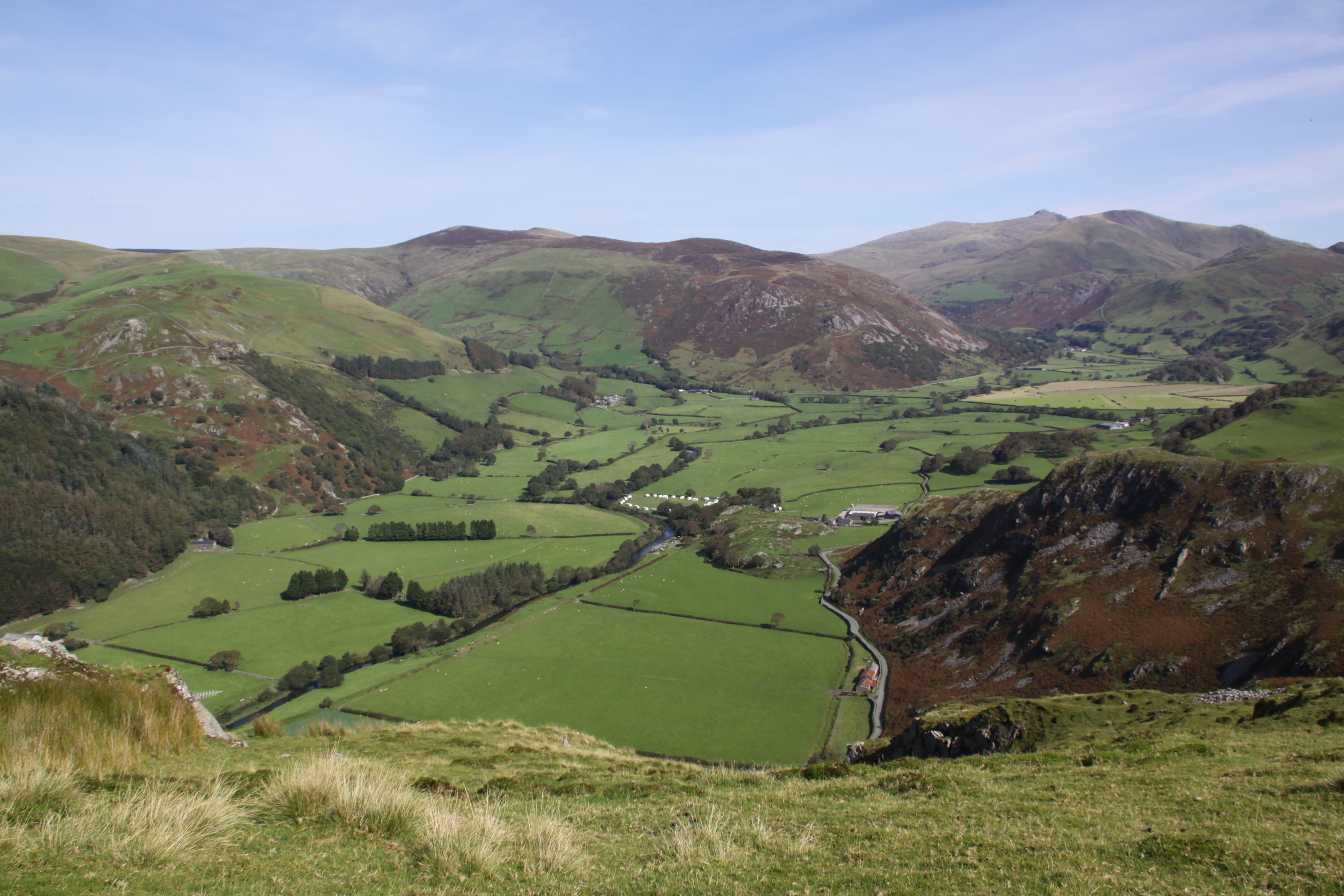
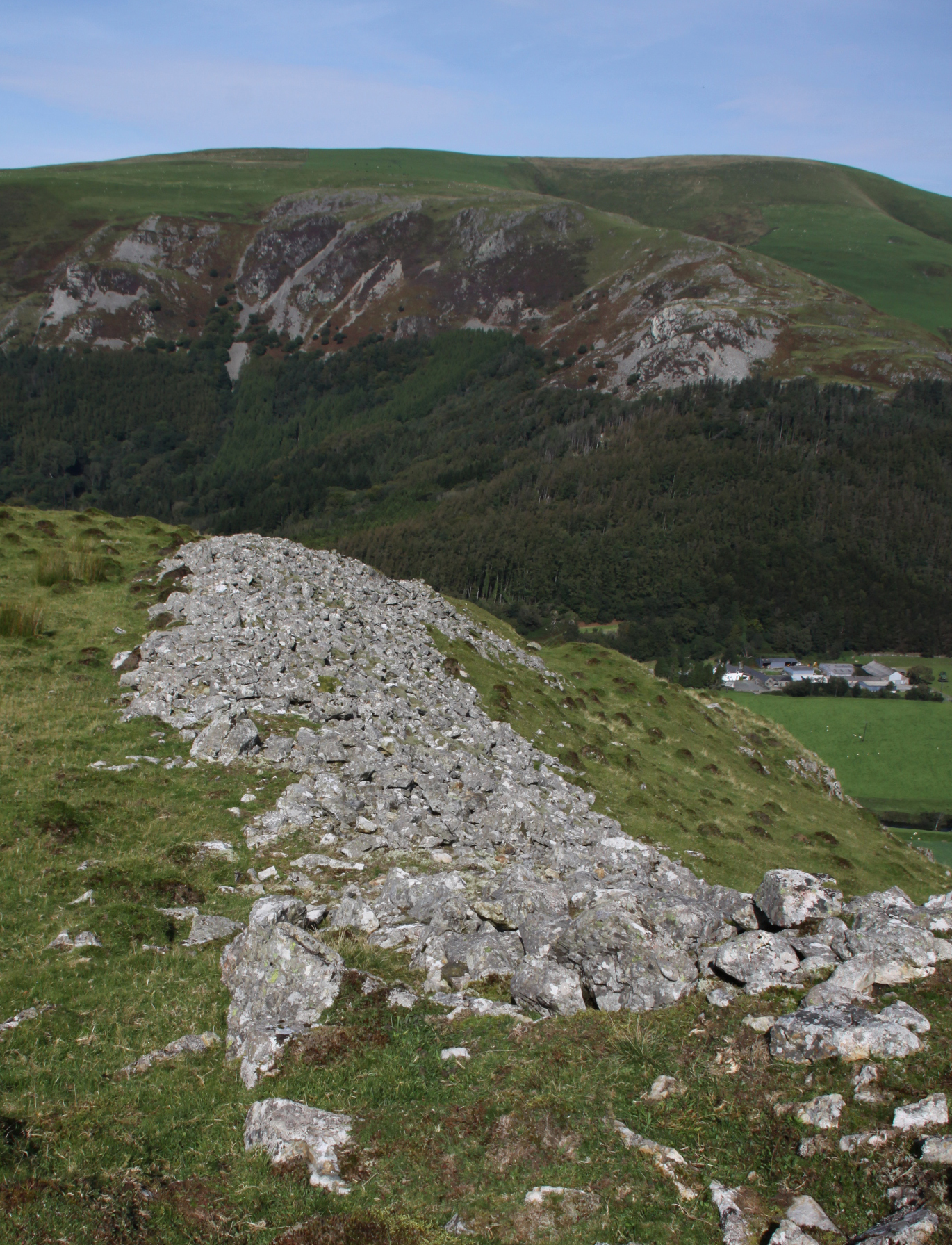
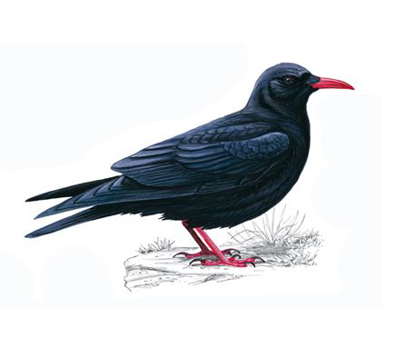
Craig yr Aderyn, which translates as Rock of Birds, or more usually Bird Rock, is a major local landmark, abutting the of the Foel Wyllt hill ridge overlooking the Dysynni valley from the south. The course and character of the river Dysynni have changed over time. Before the 18th century the estuary reached almost to the foot of Craig yr Aderyn, but the river silted up and is no longer navigable. The land has been drained since the 1700s to create better quality land for farming, although standing looking down from the summit, it is quite clear that the land to the west still has some very boggy patches marked by beds of spiny rush (Juncus acutus), which is found in all freshwater flats, bogs and marshes herabouts. It is not known what it looked like in prehistory, but the presence of a glacial valley with Cadair Idris at its back indicates that a melt-water river certainly passed Craig yr Aderyn on its way to the sea, and this will have established a valley route into which later hill drainage descended. It would be useful to know what it was like during the Iron Age.
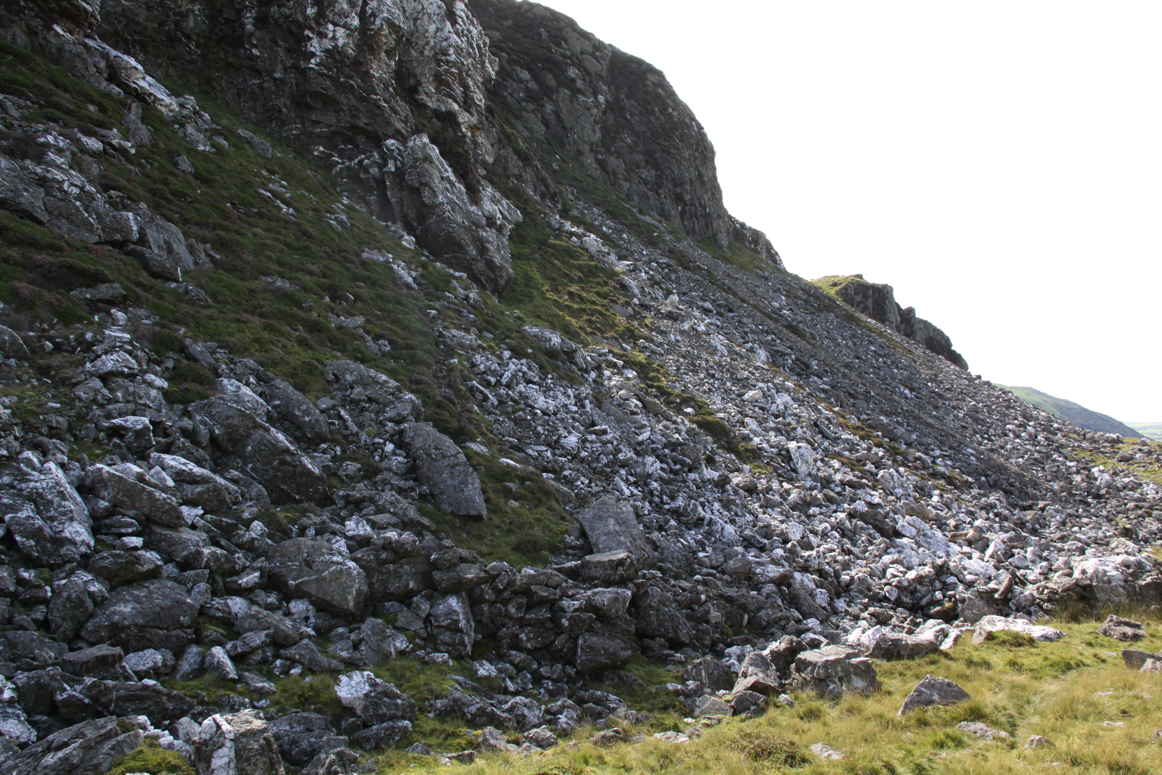
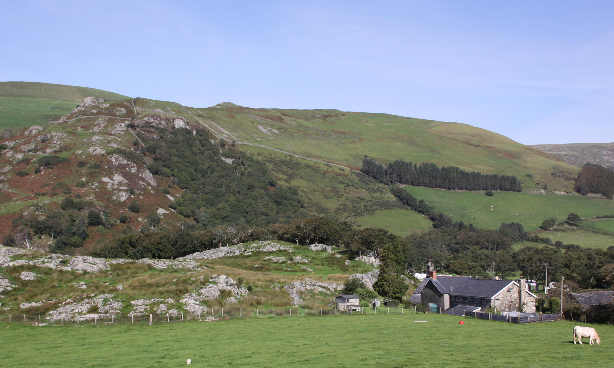
According to a Snowdonia Active publication (2018) the crag is made of rhyolitic tuff, rock formed from volcanic ash laid down after a major eruption through the Bala fault line c.800 million years ago. It is separated from the hillside behind it by a saddle or col 100ft below the peak. Its distinctive shape is immediately recognizable from miles around, almost always visible in the Dysynni area. Its gaze always seems to follow you around. Its summit is at 230m OD (700ft). The hillfort is lower, at about 180 OD, 10m higher than the 170m OD Tal y Garreg, the next highest hillfort in the area. Although the north face of the crag is very steep, the home of nesting birds and a route for rock climbers, there is a much more gradual approach to the rear.
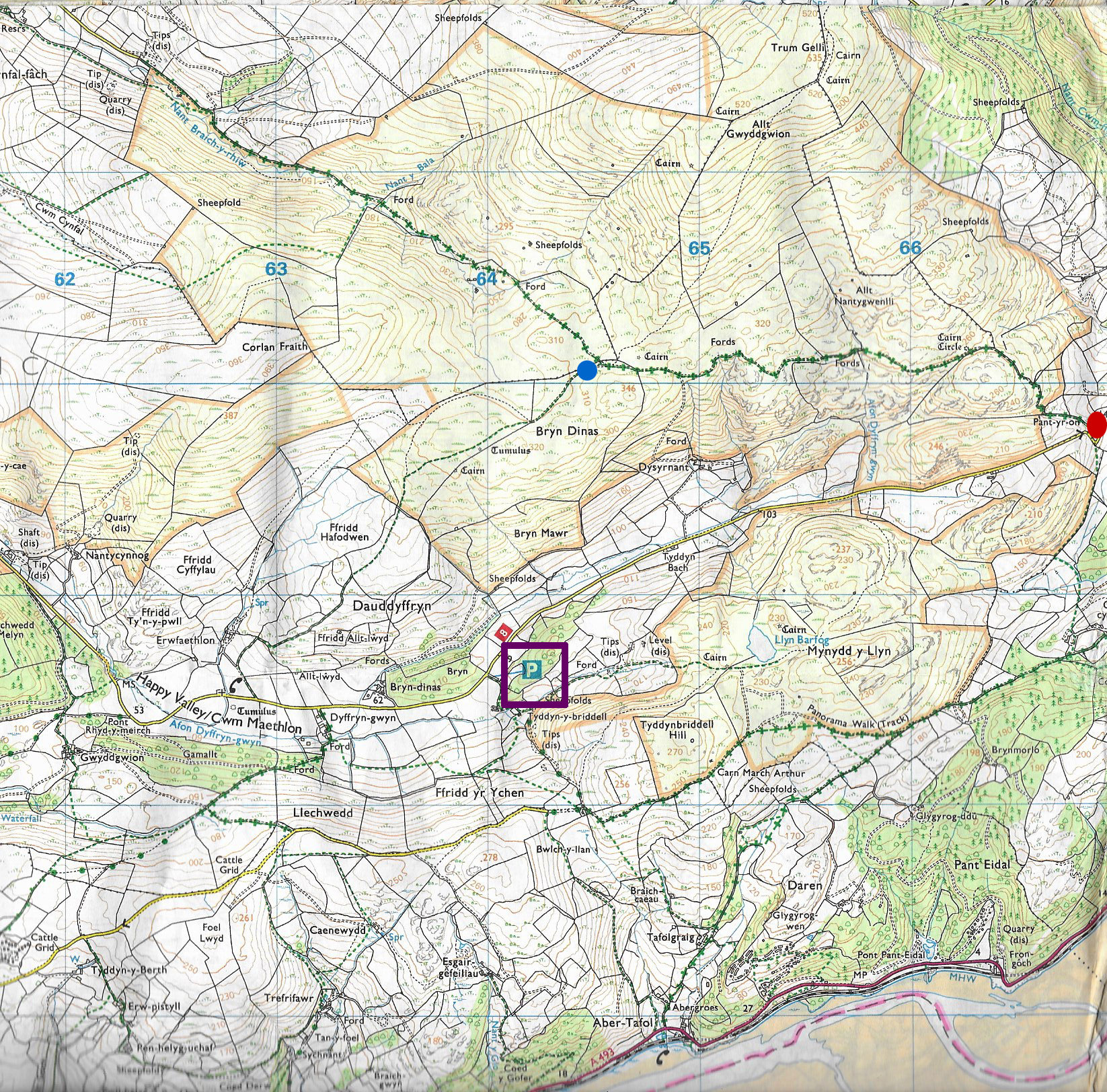
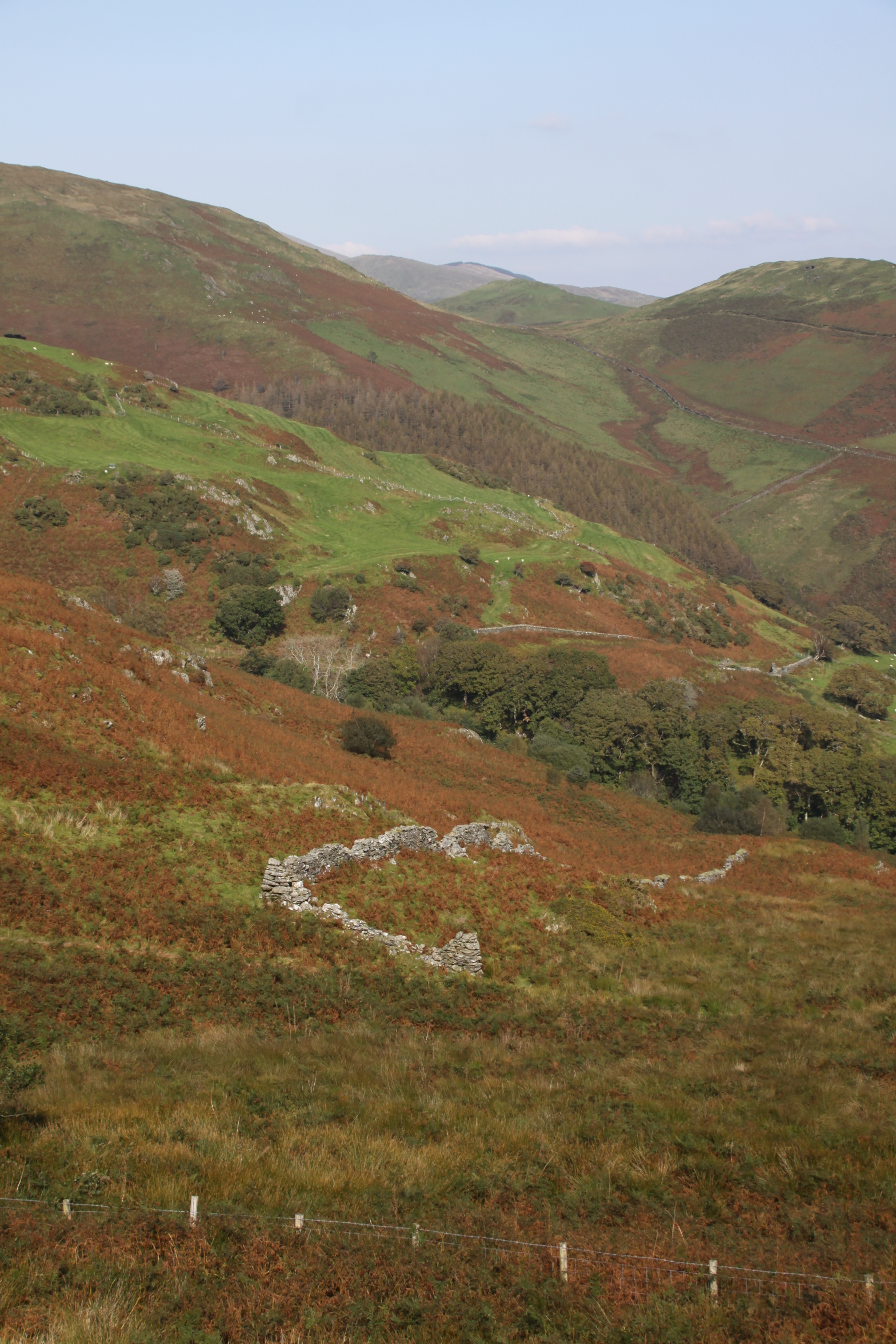
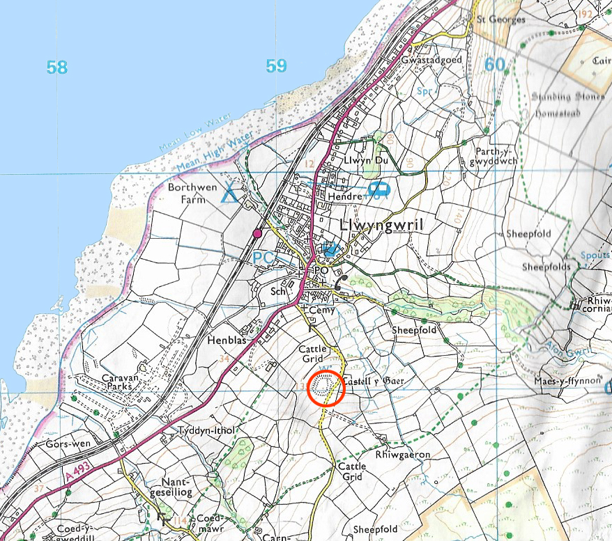
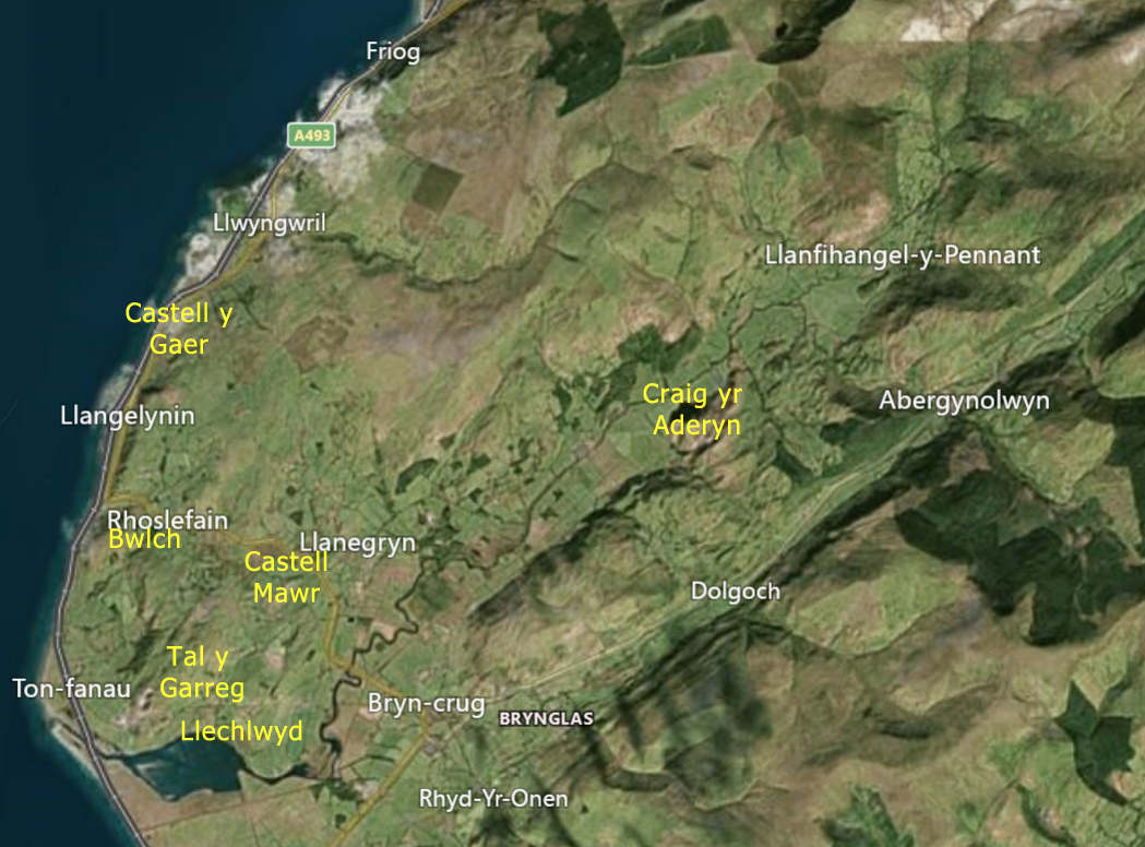
Craig yr Aderyn is one of a small number of hillforts that were built near the Dysynni valley. I’ve already posted about the two small hillforts at the mouth of the Dysynni, Tal y Garreg and Llechlwyd on Mynydd Garreg above Tonfanau, some 8km away to the west of Craig yr Aderyn. Nearer to Craig yr Aderyn is Castell Mawr, c.5.5km to the west as the crow flies, about which I have also posted. See the map at the end of the post.
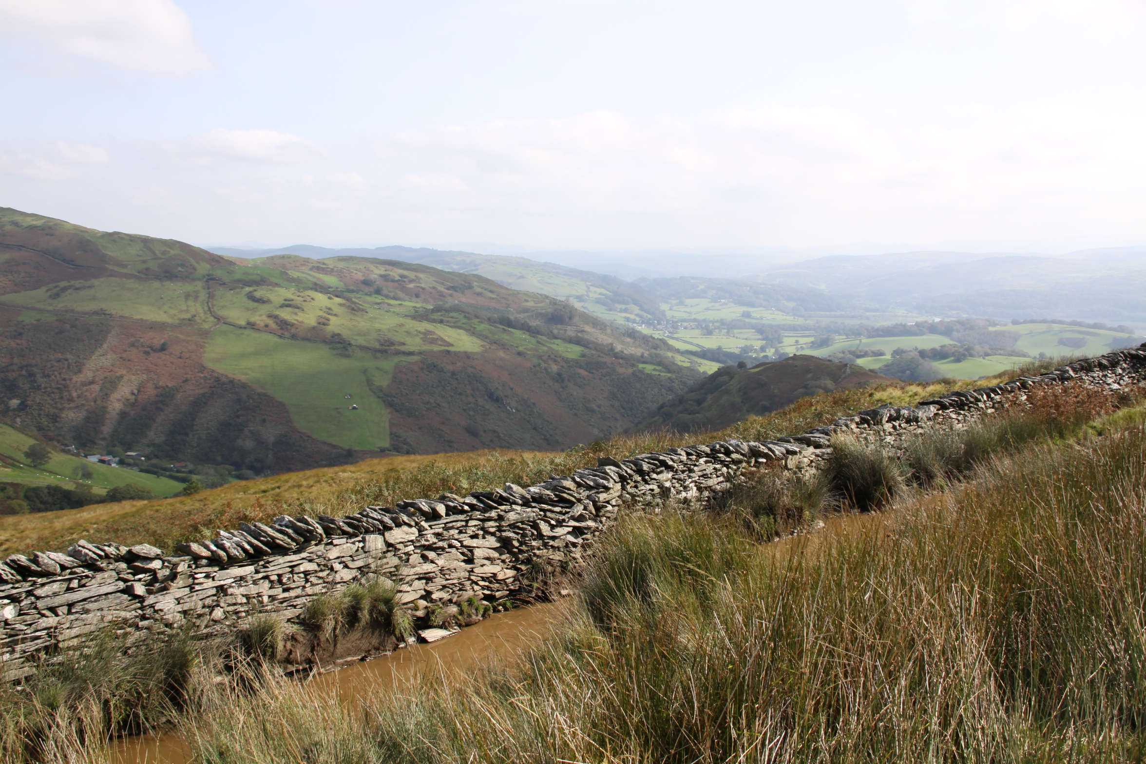
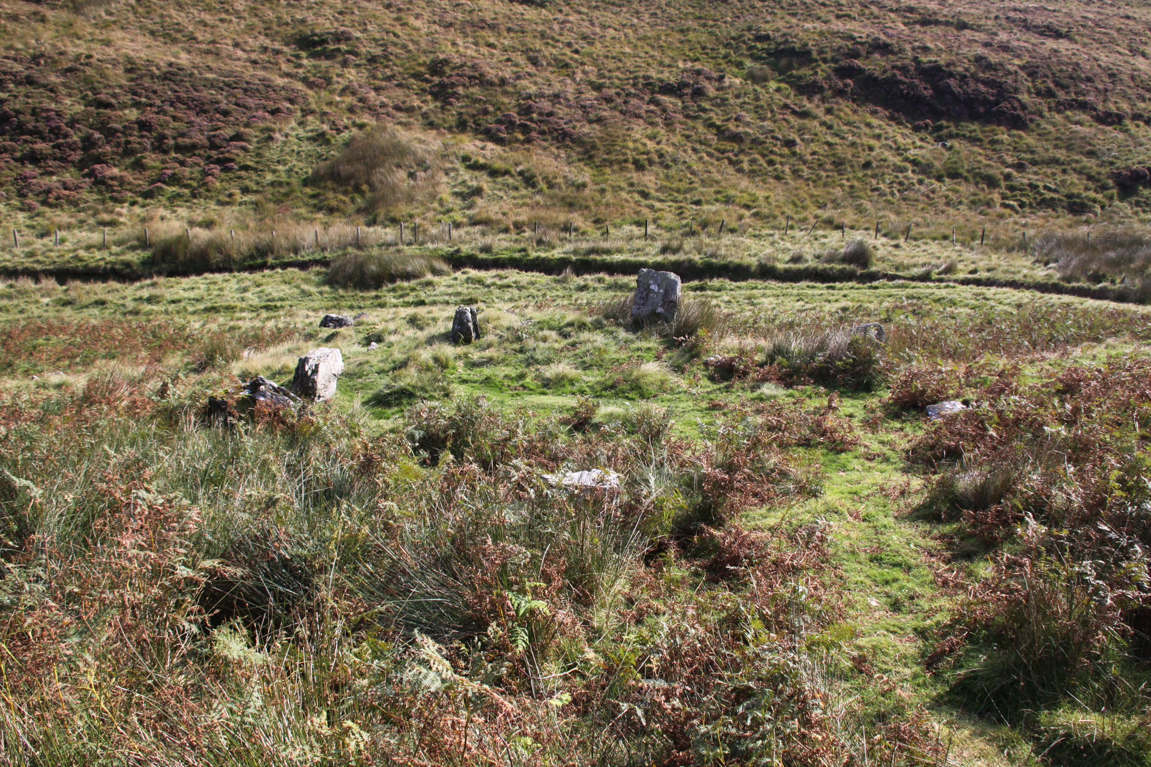
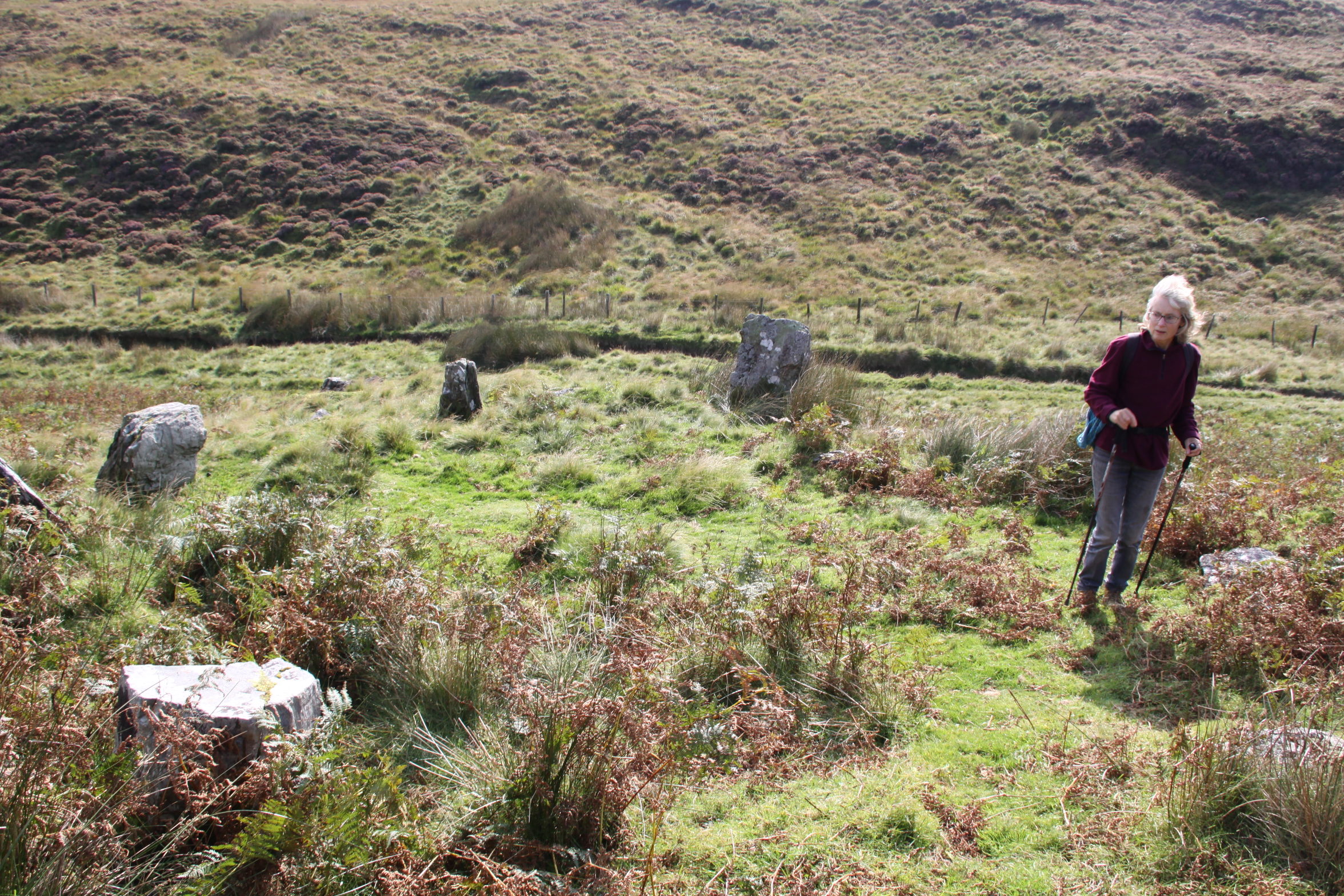
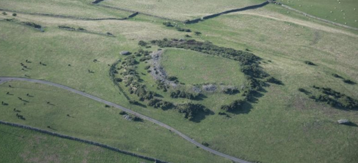
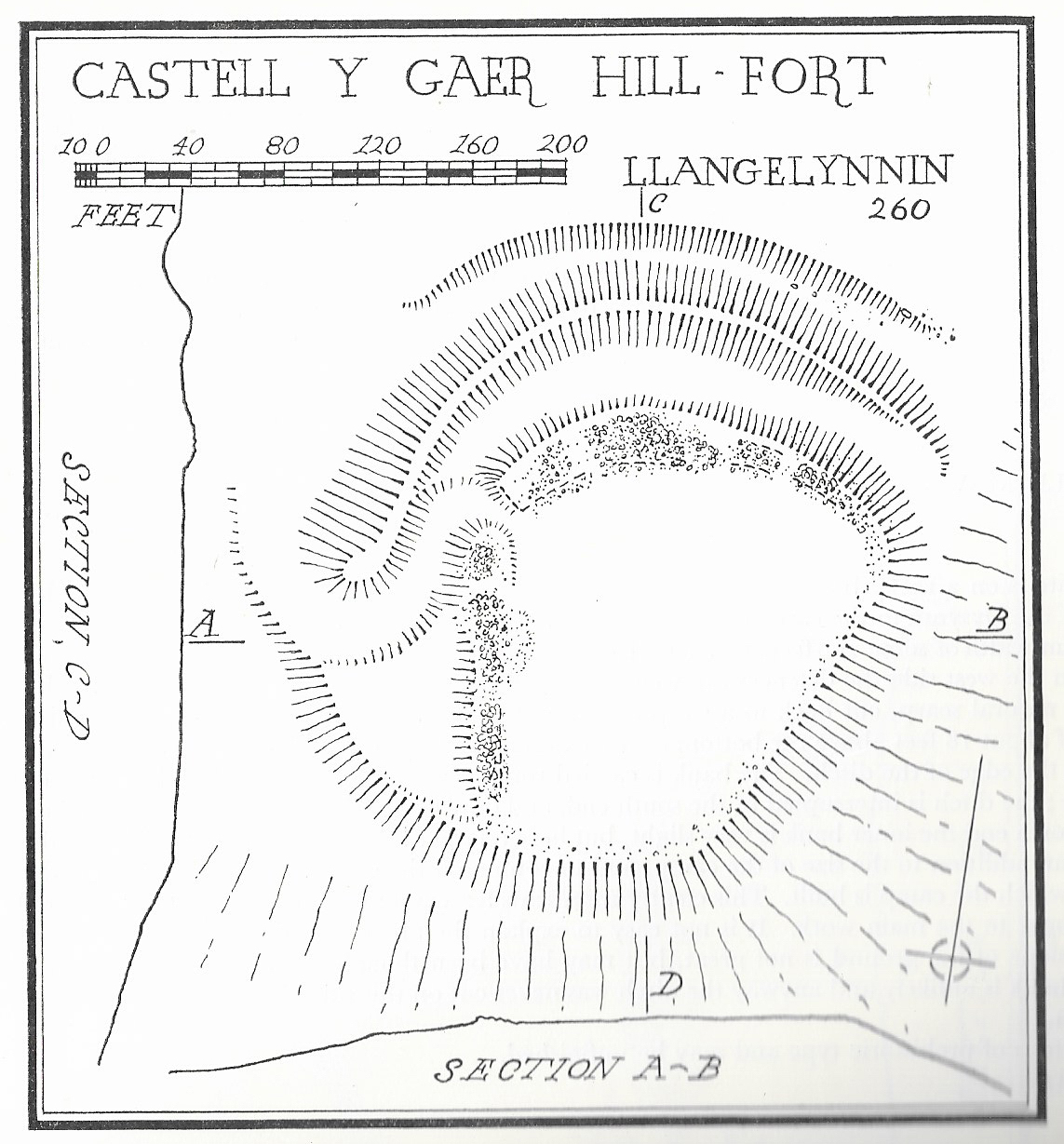
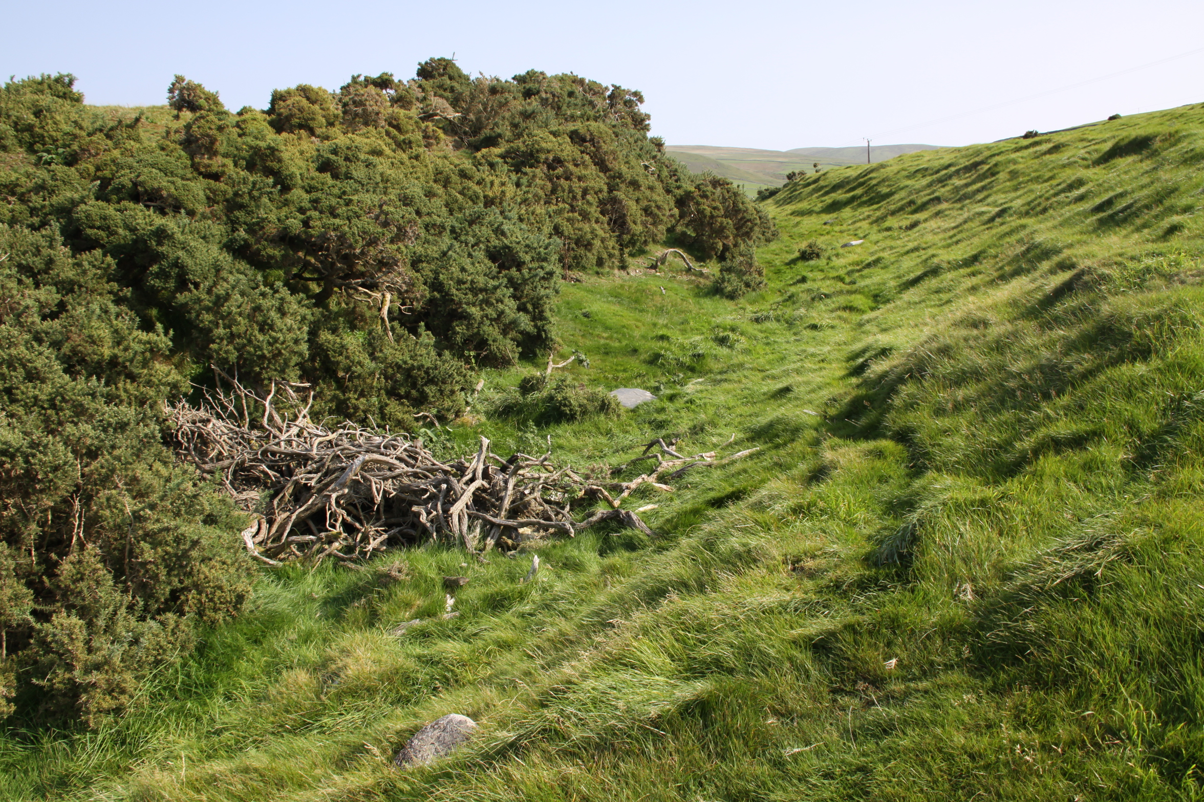
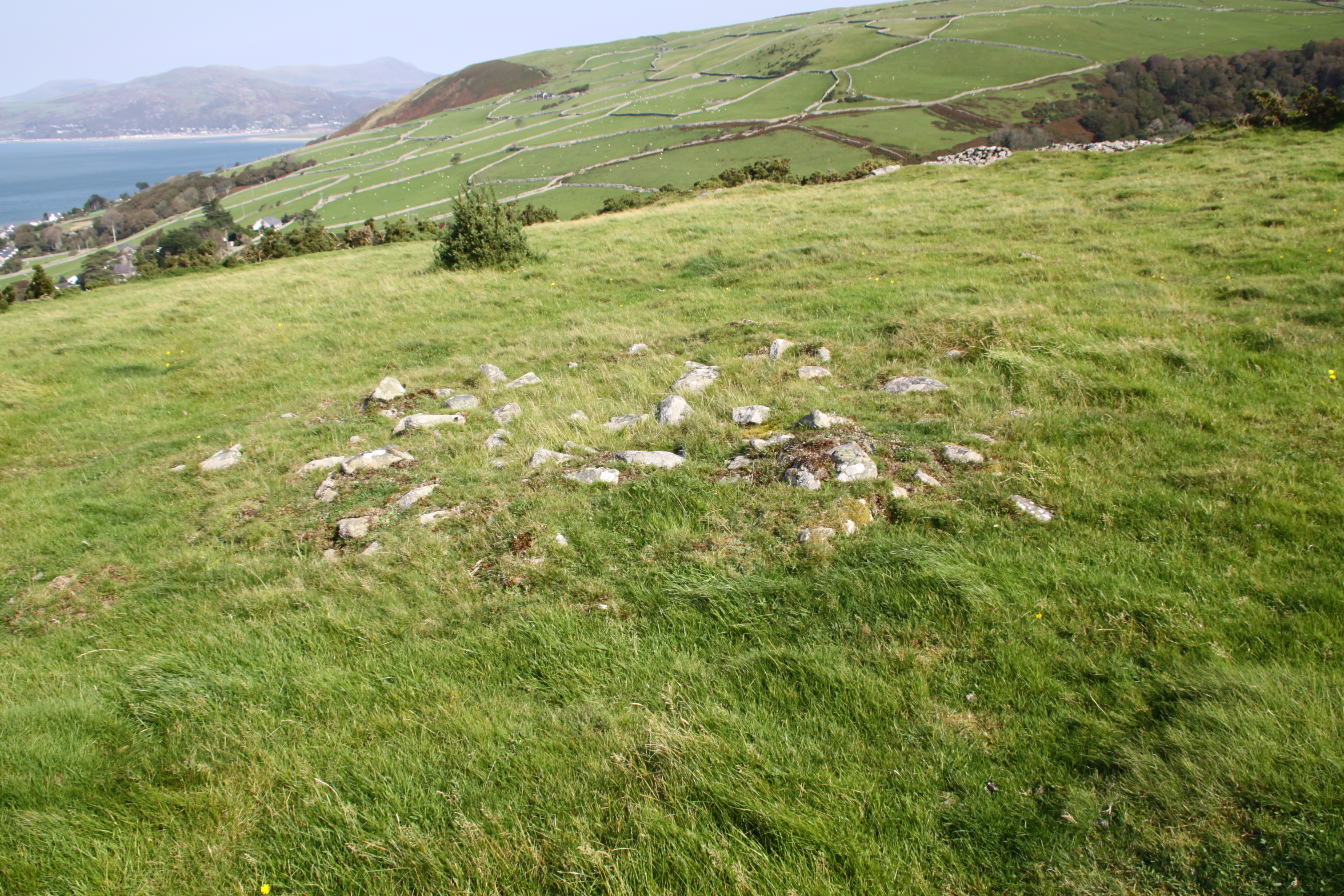
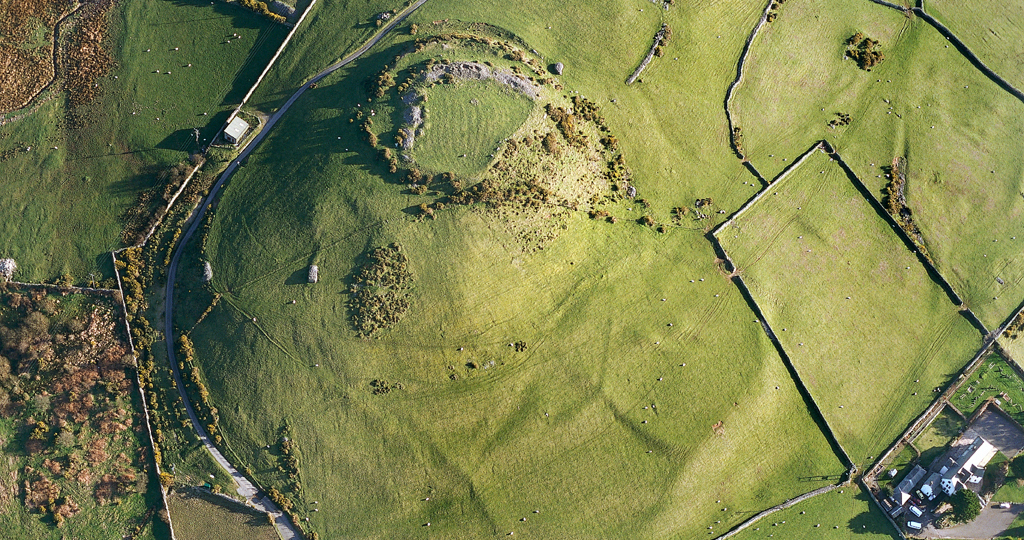
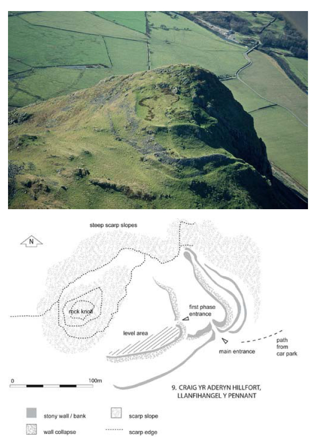
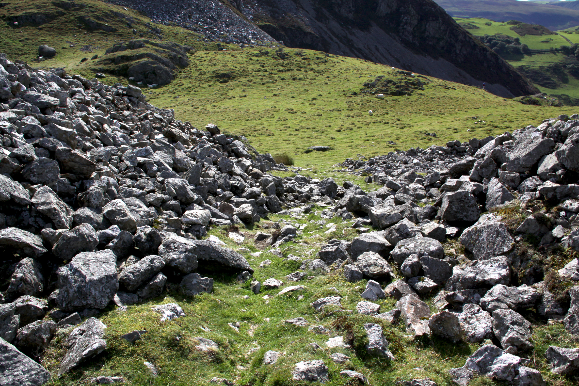
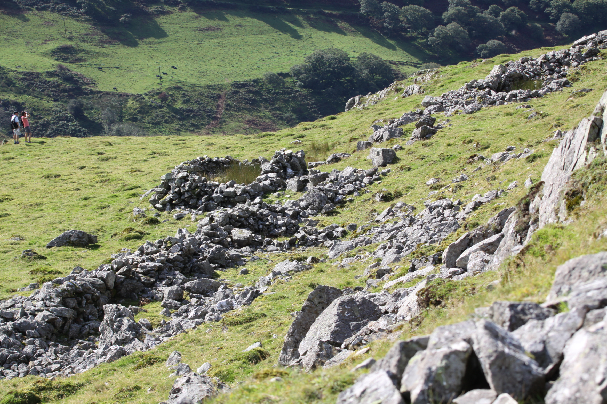
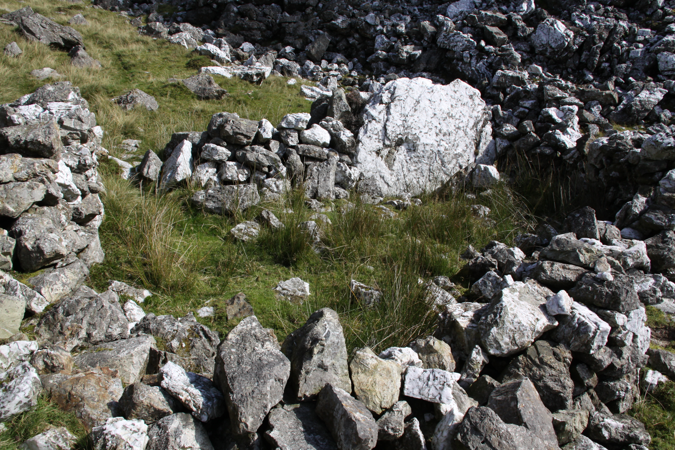
 At Craig yr Aderyn all of the hillfort construction work took place on a natural shelf beneath the rocky peak, which the hillfort incorporates. Its man-made defenses consist of two phases of earthen and stone banks. Today the fort’s ramparts are covered in grass, but most of them are still clearly visible, although it took me some time to trace them against the site plan on the ground. Thankfully they are covered mainly with short turf rather than bracken or long grass, which makes the job much easier than at places like Castell Mawr. The ramparts are impressive, and served to cut off the only realistic line of human access to the hillfort, as the other side is a sheer drop into the valley beyond from the summit of Craig yr Aderyn, some 270m below. The combination of natural and stone-faced sloping man-made defenses makes this one of the most ostentations structures of this type in the area. The site is thought to have been built in two phases.

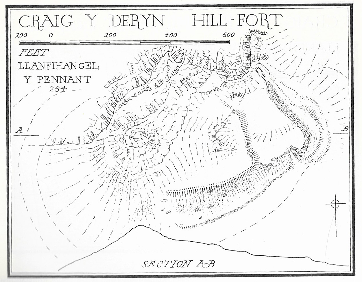
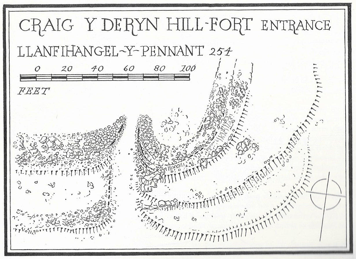
This site plan shows how the ramparts are built into the rocks of the crag behind a natural shelf, using the existing topography as part of the design of the hillfort. The earlier phase is on the left, divided by a bank and ditch with a slightly inturned entrance. The second phase is on the right with a much deeper inturned entrance that forms a short passageway. Source: Bowen and Gresham 1967
The most obvious features of the first phase are the two sets of ditches and eroded banks, which once formed ramparts that were stone-faced. This is sometimes called the upper fort. There was an in-turned entrance at the southeast side through a gap in the rampart. The enclosed area encloses approximately 0.8 hectares (just under 2 acres), and measures roughly 100 by 55m (c.330 x 180ft). the shape formed against the line of the natural topography is a triangle.

Detail of the second phase entrance, with the inturned entrance forming something of a corridor into the second phase enclosure. Source: Bowen and Gresham 1967
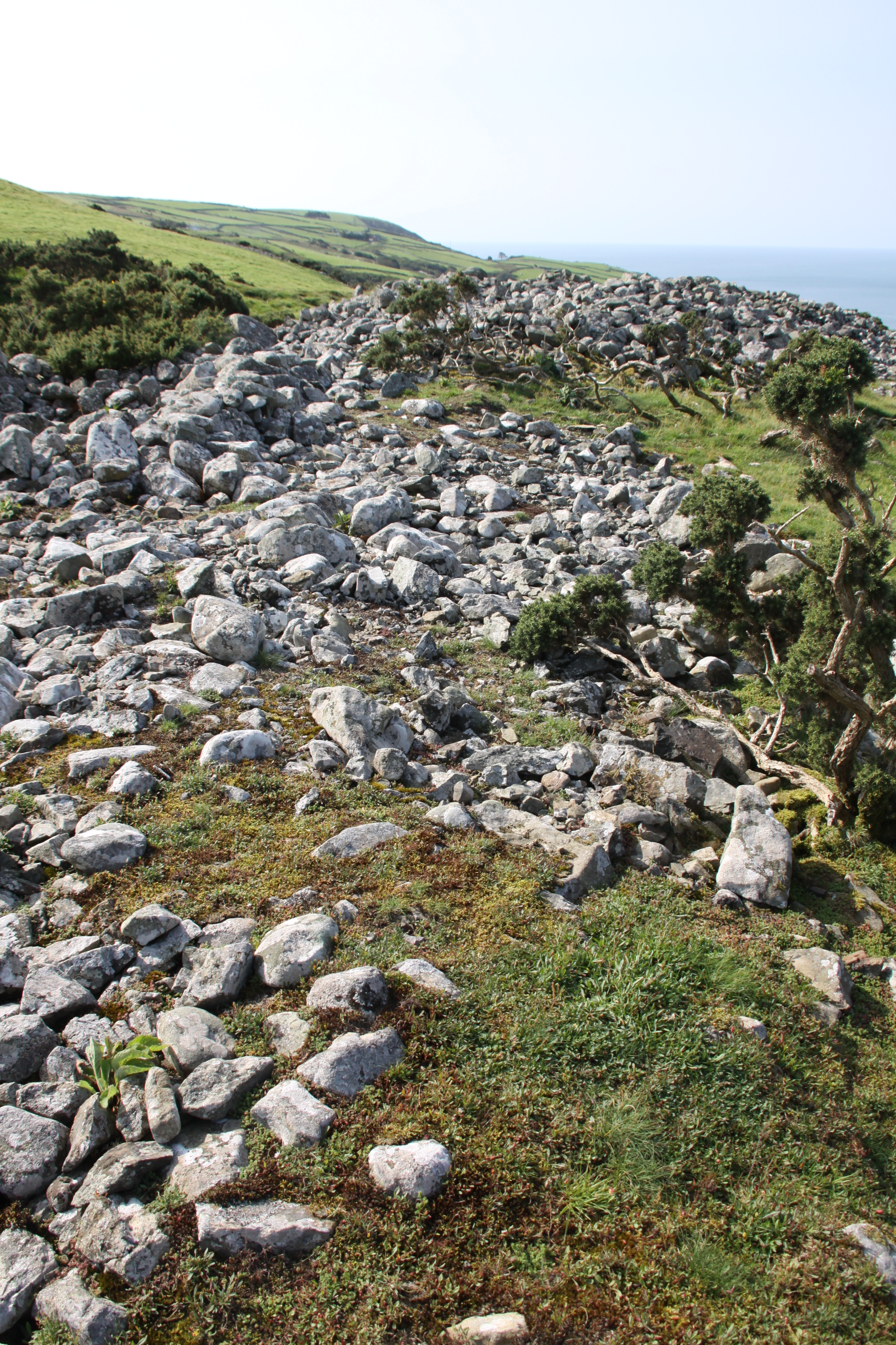
In the second phase an additional line of banks and ditches were built on the eastern side to enclose a larger area of approximately 1.6 hectares, measuring 119 by 170m (390 x 560ft) on the east side, which was most vulnerable to attack. This included a substantial stone wall, much more impressive than the first phase. Unfortunately, this has now collapsed, but its original line is still clearly visible. Secondary improvements were a wall on the south side and two new banks to the east. These were accompanied by another in-turned entrance, this a lot more prominent and well built than in phase 1. Unlike the first entrance it could only be approached via a steep slope. This is the entrance that the public footpath uses today, but even if you approach the hillfort at a tangent and follow a sheep track into the interior, the entrance is unmistakable from the interior.
The early excavations at Craig yr Aderyn, such as they were, produced very little in the way of dateable artefacts, and although a pottery sherd was identified at the time as Romano British, I have not seen any modern opinion on the subject of its date, and have no idea where the sherd itself is located today. Even if this tenuous evidence was validated, it is not enough to tie in in with the other hillforts in the area, as none of those have been excavated and the architecture itself is only suggests very approximate dating.

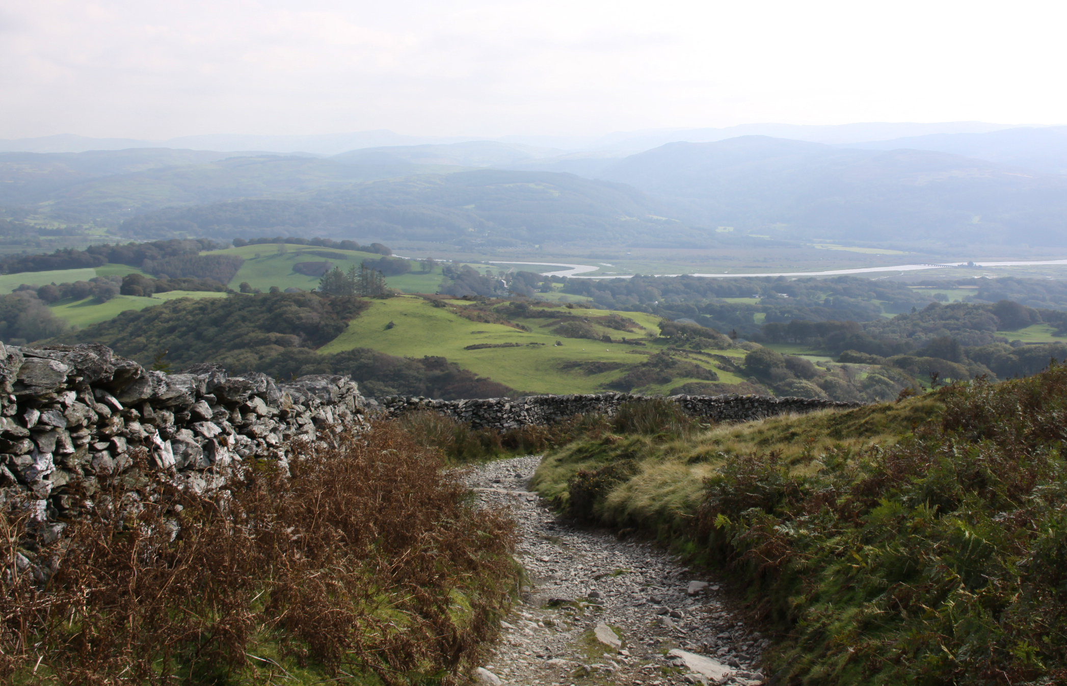
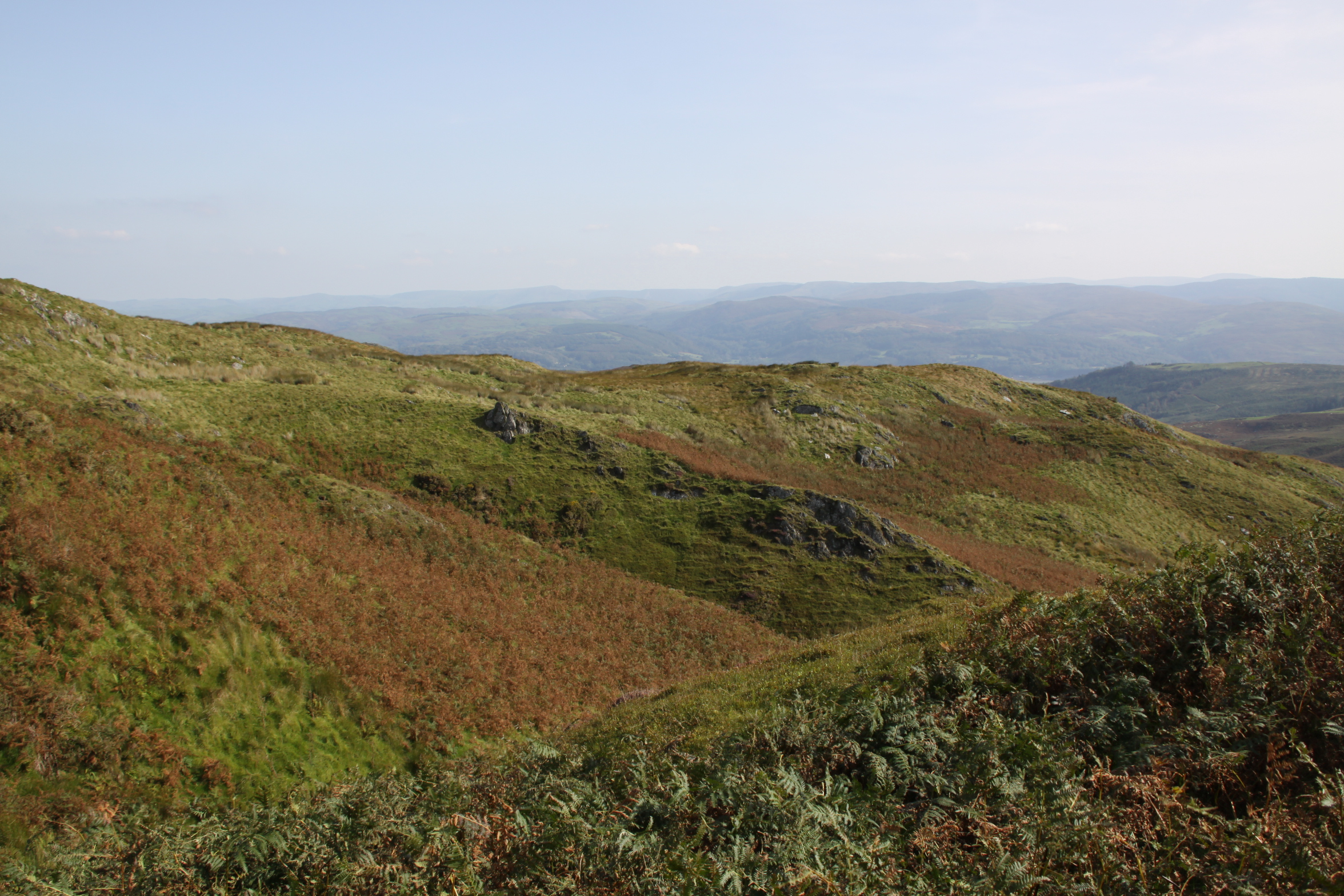
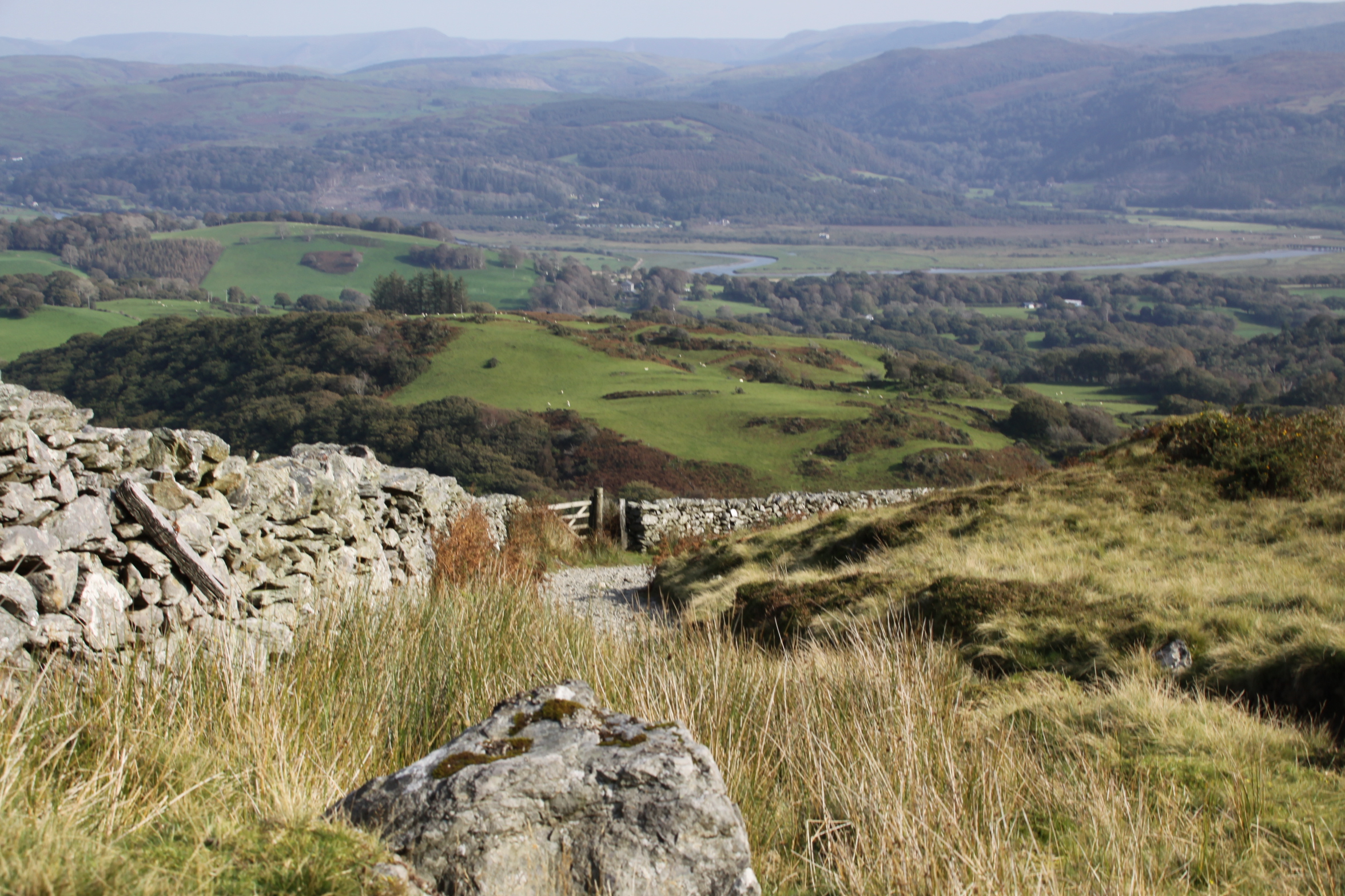
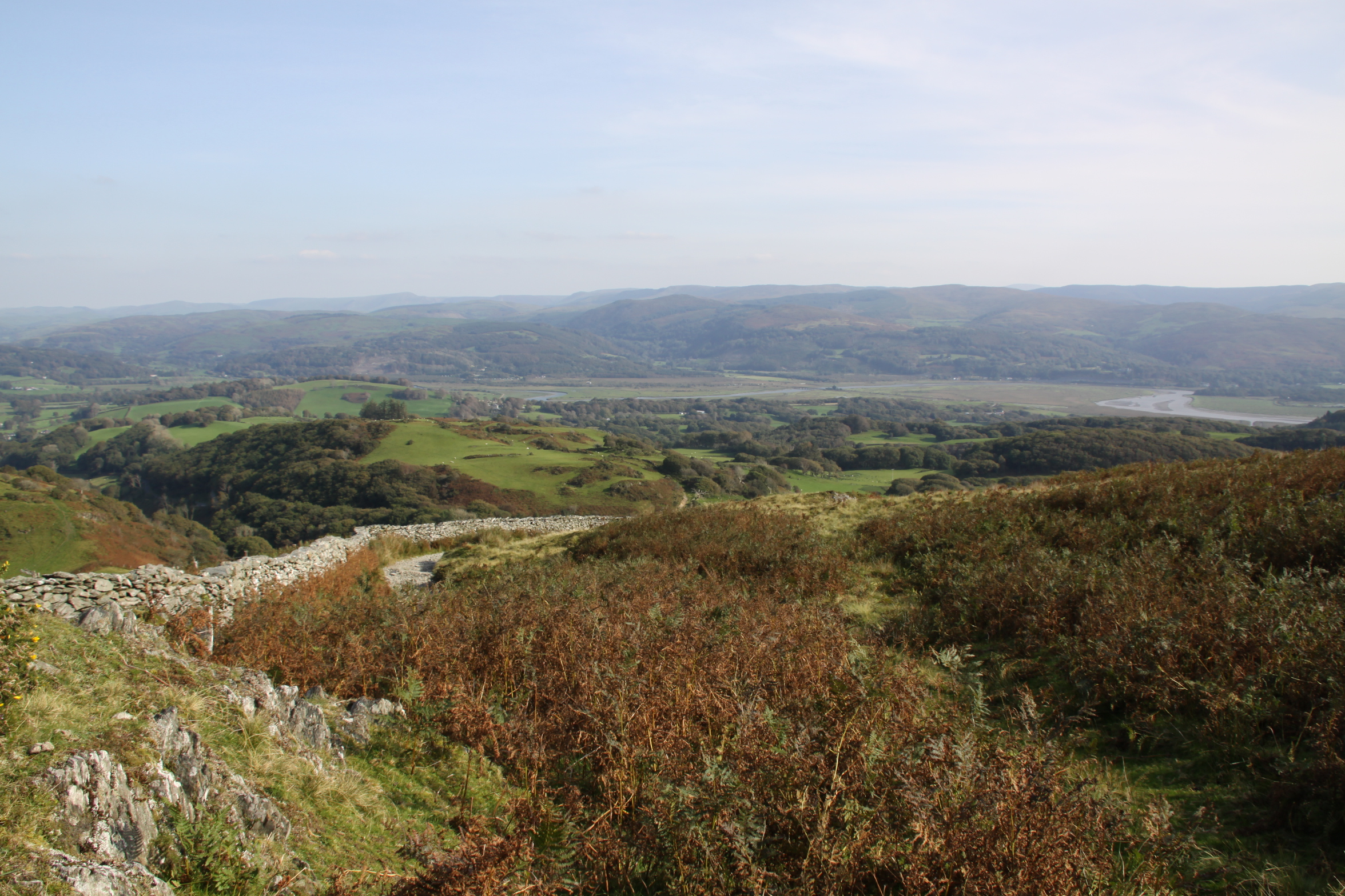
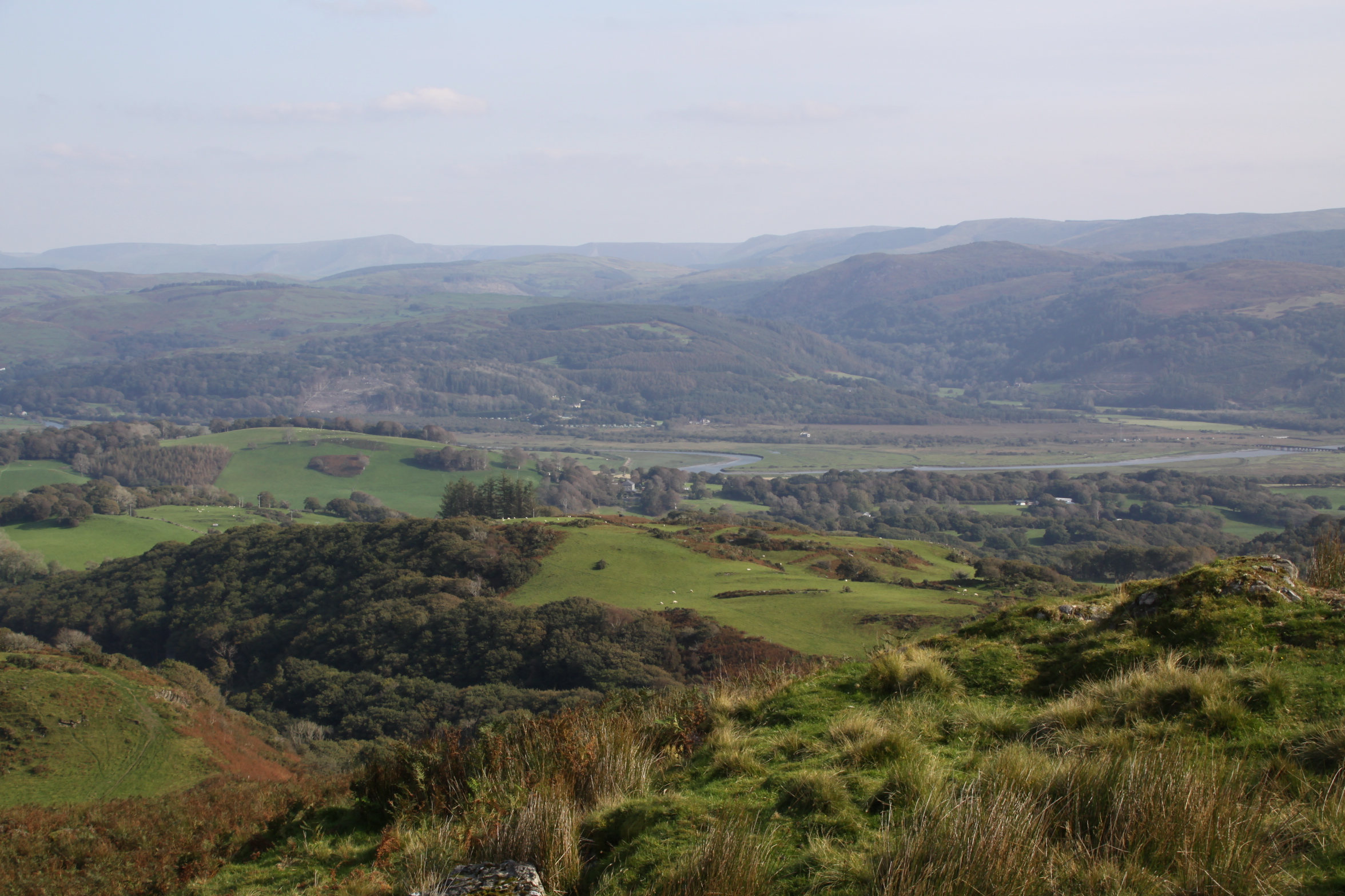
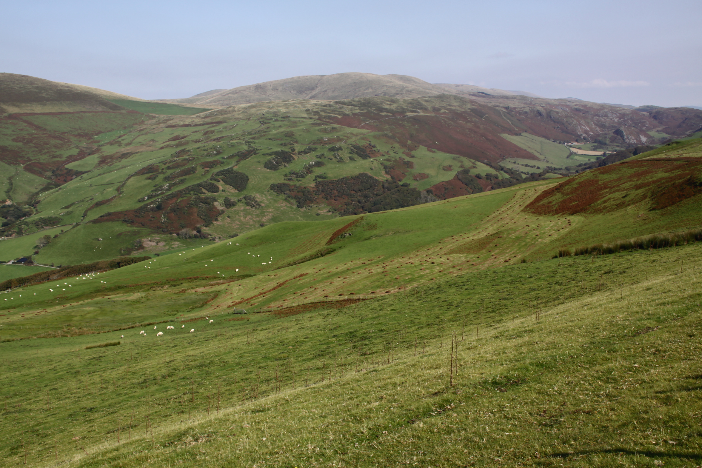
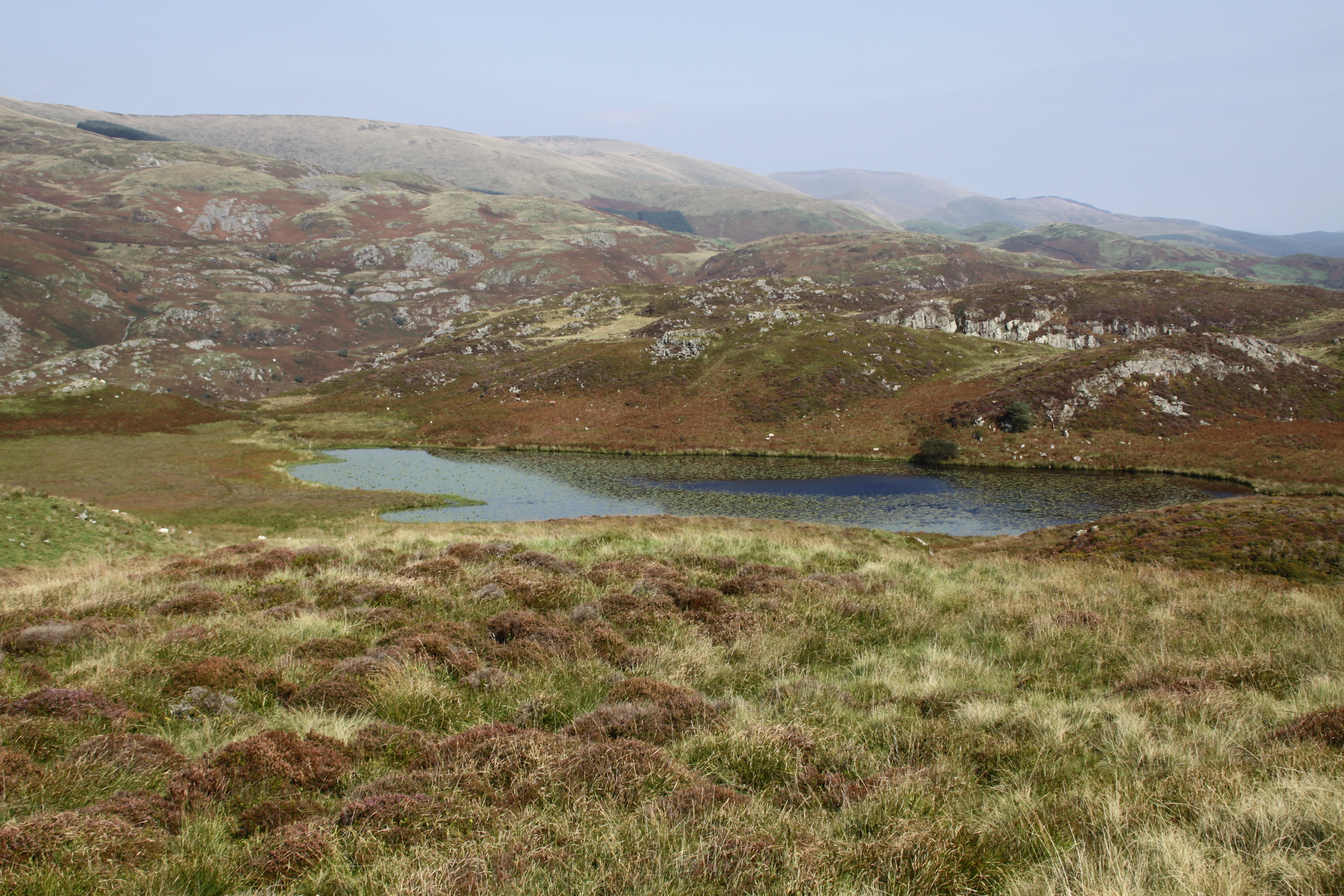
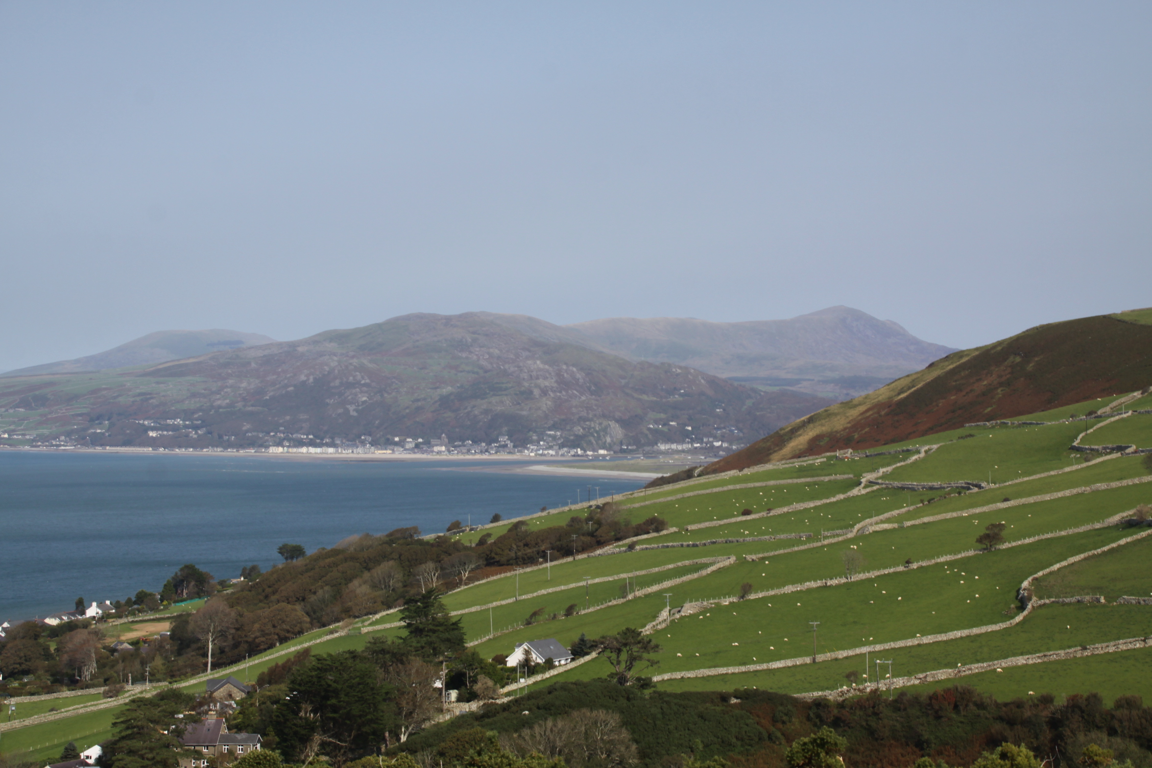
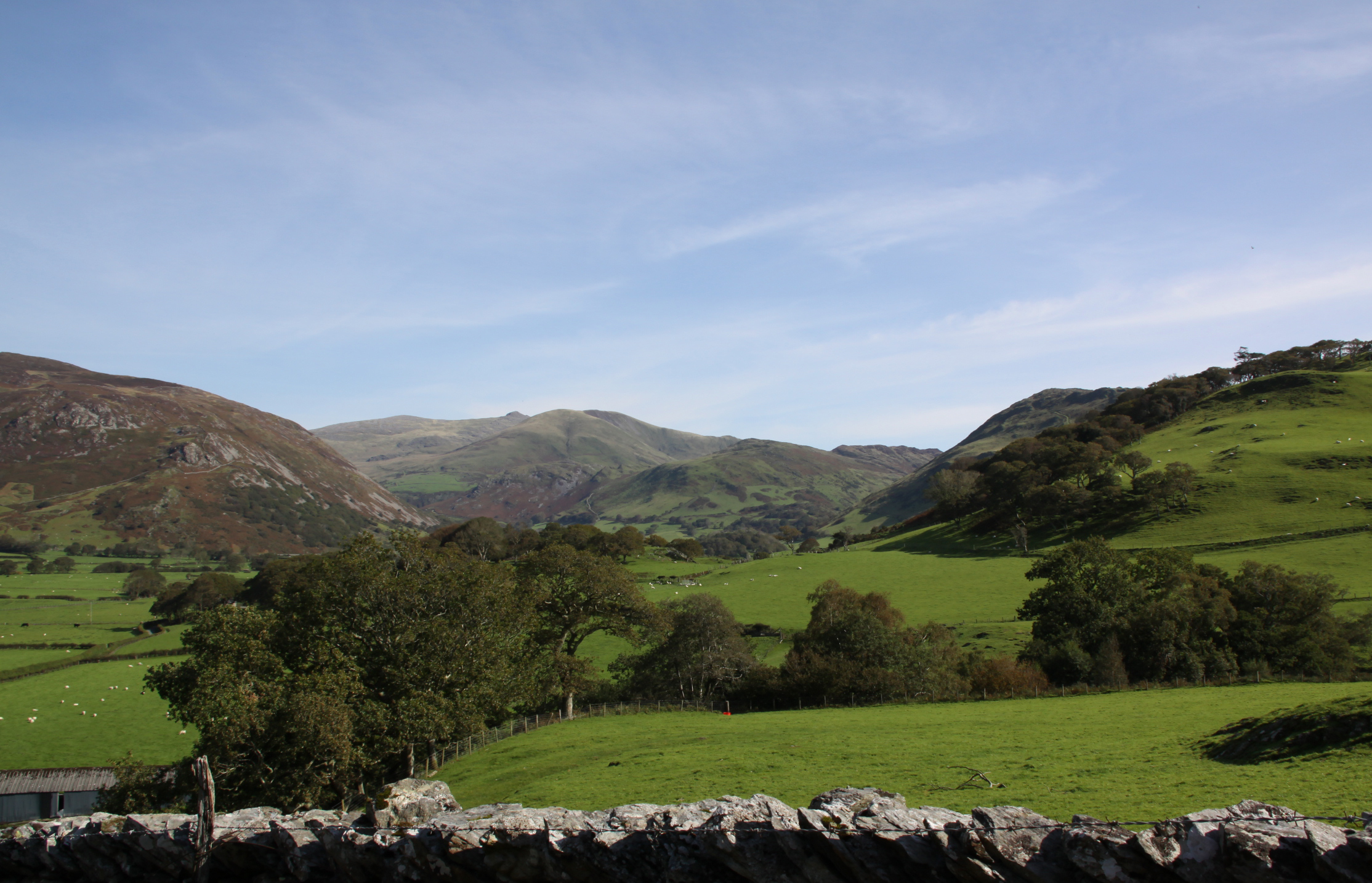
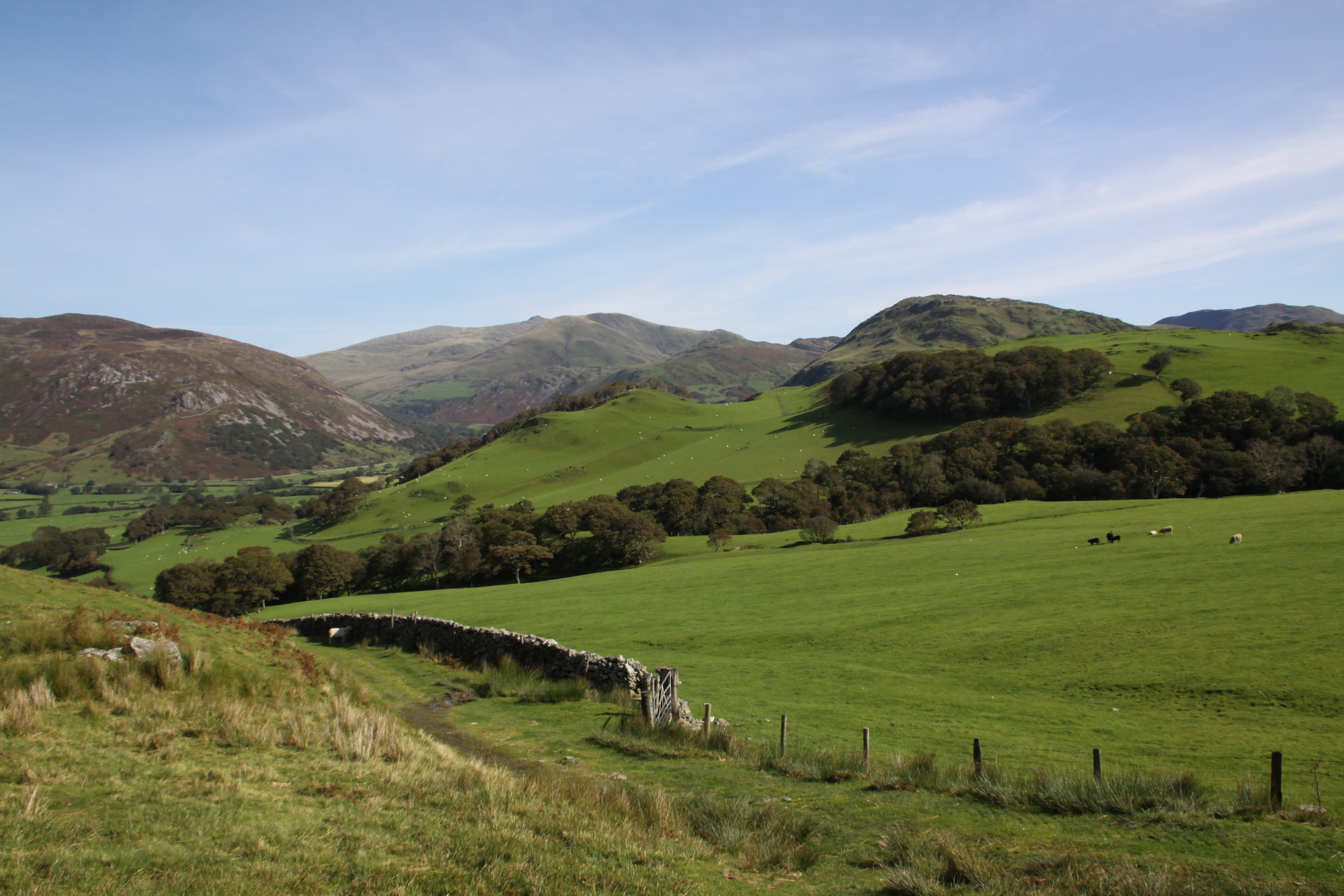
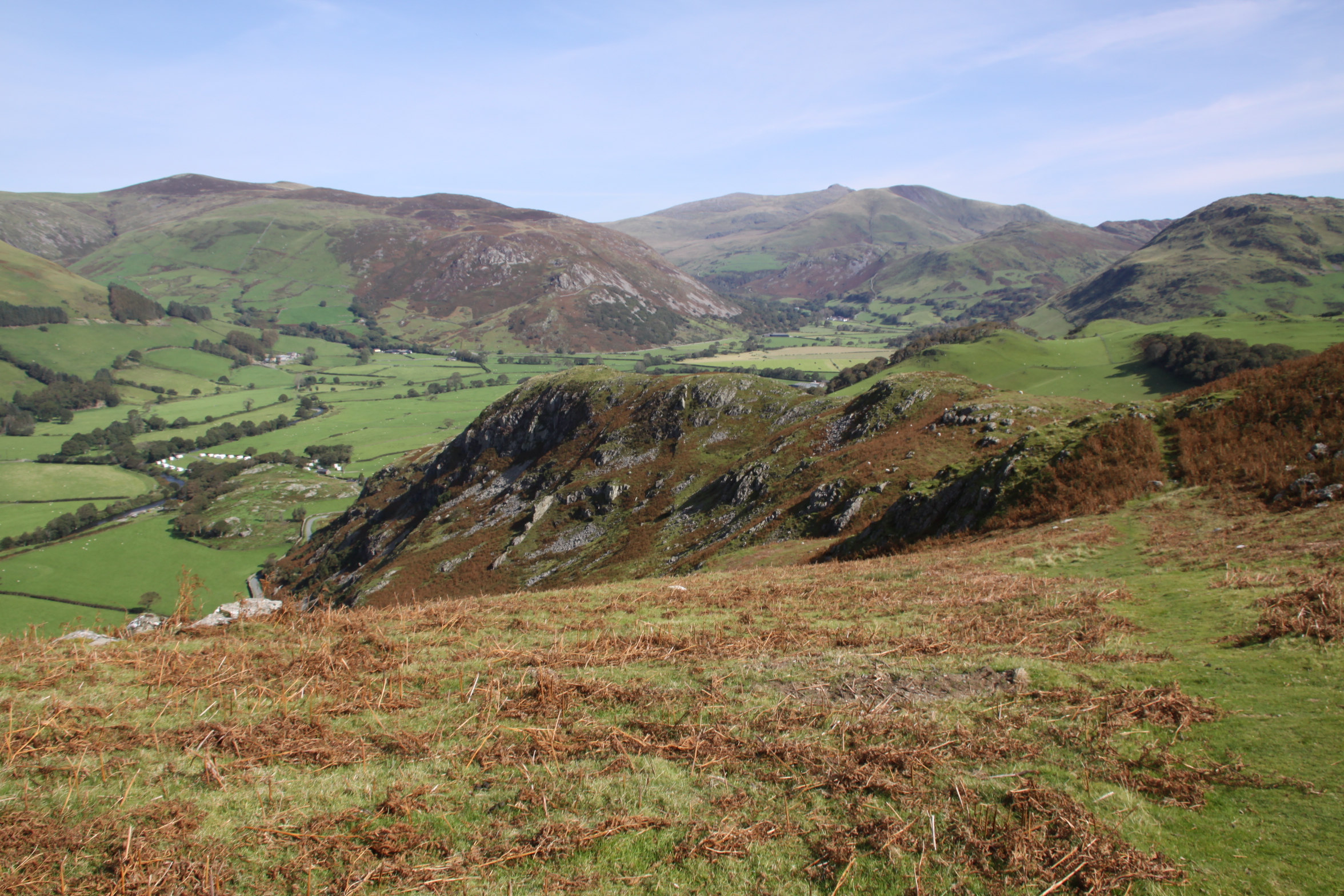
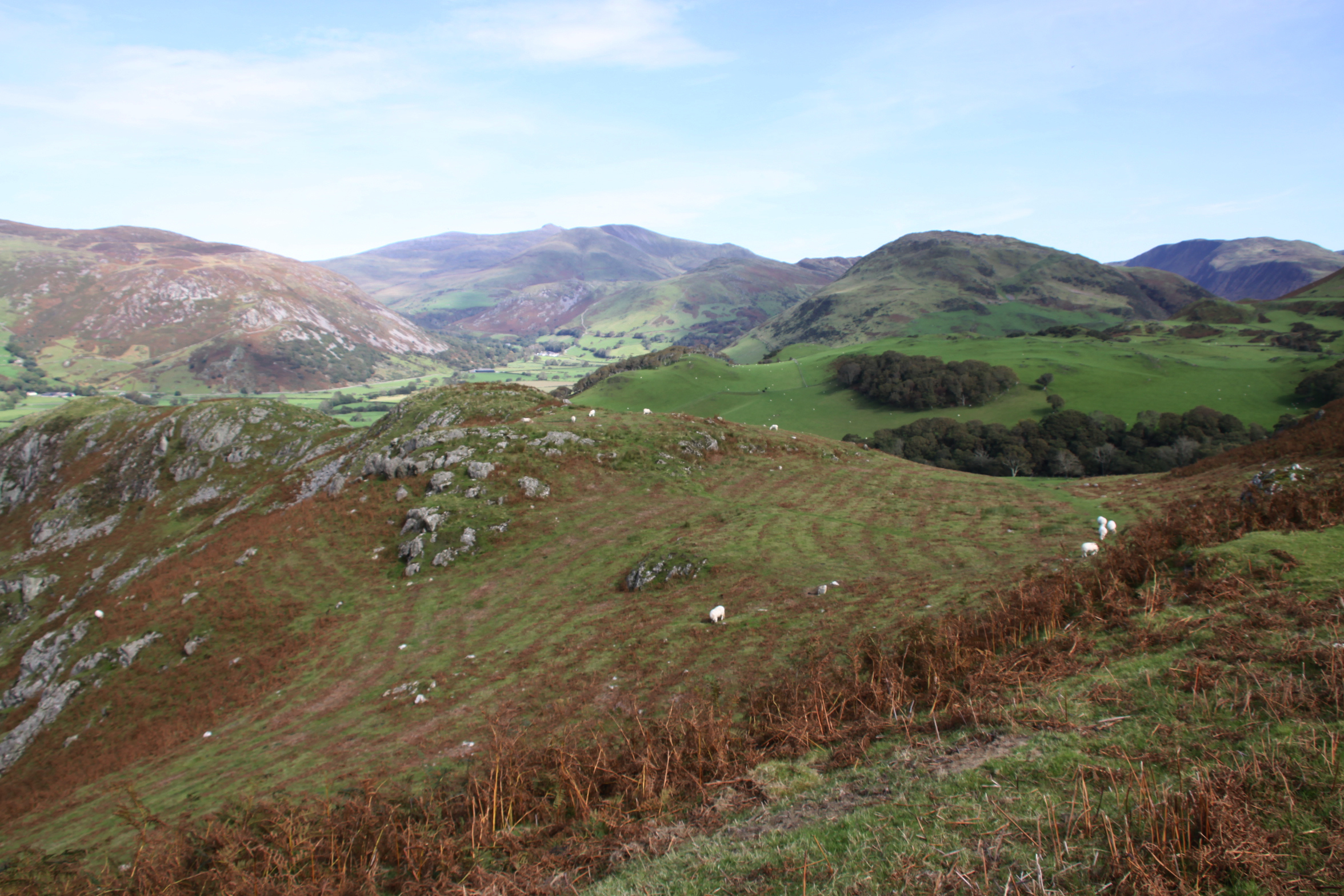
View to the northwest from the summit
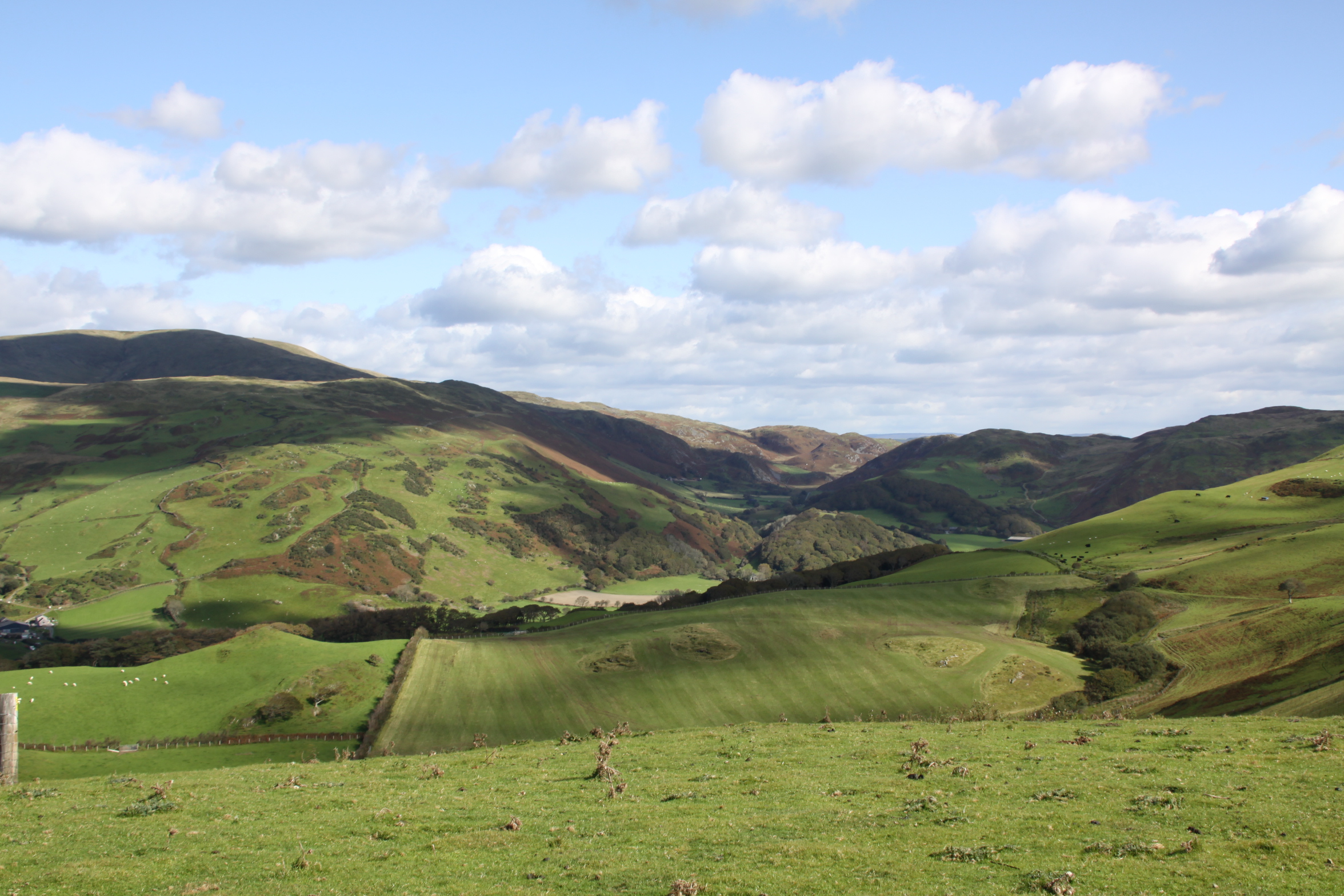
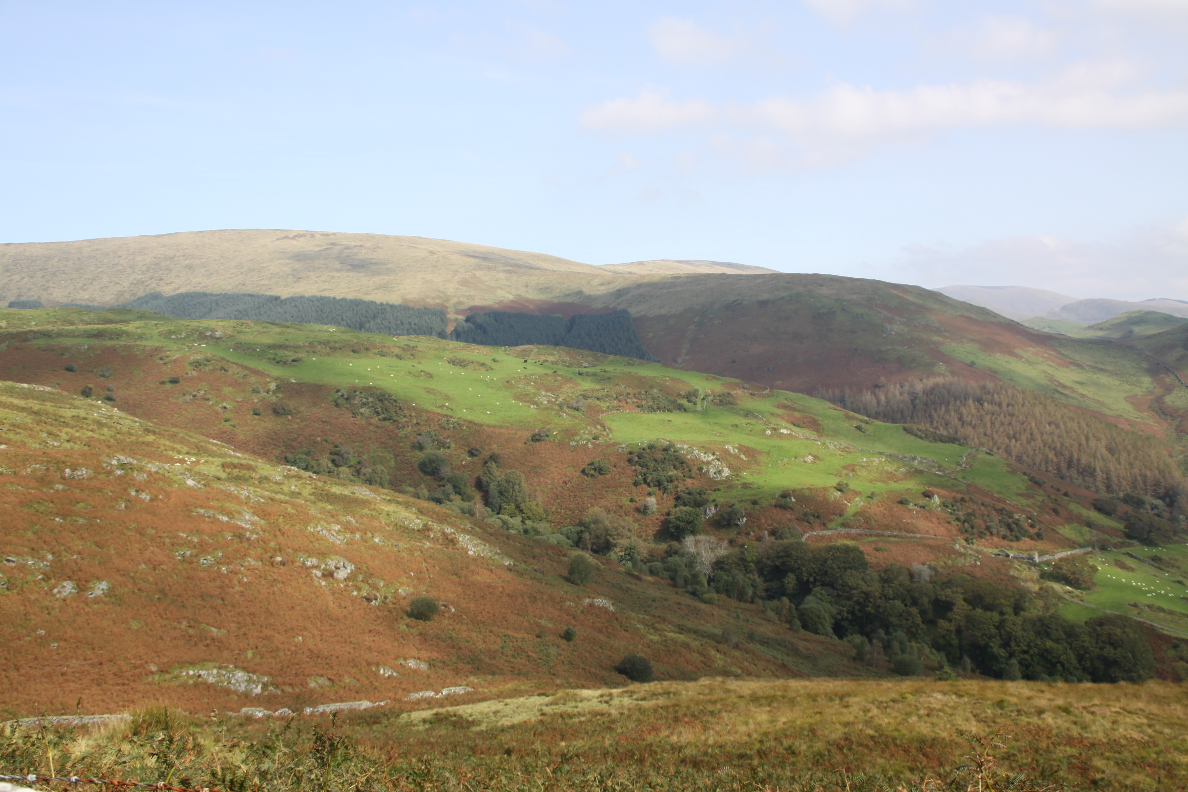
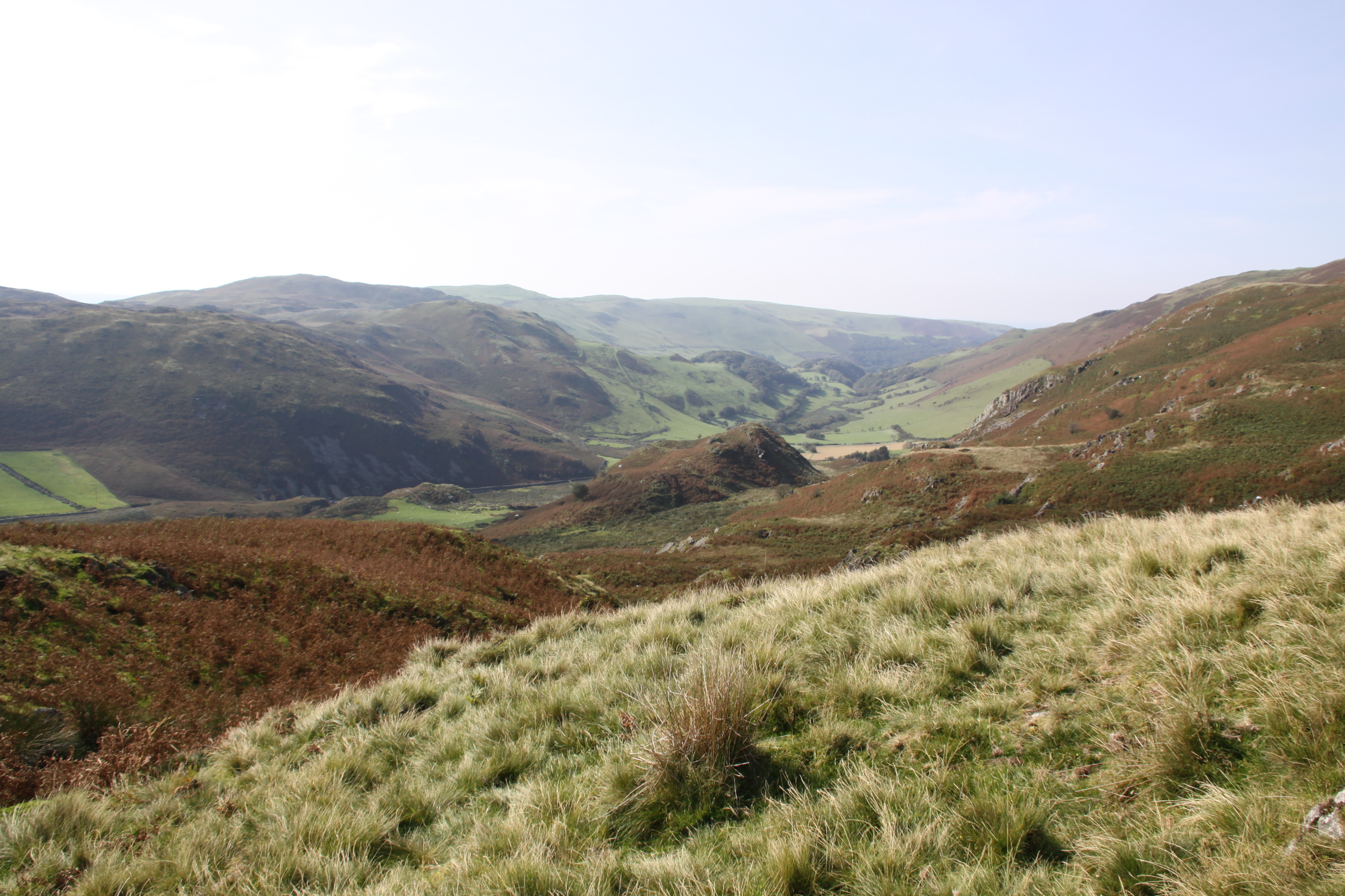
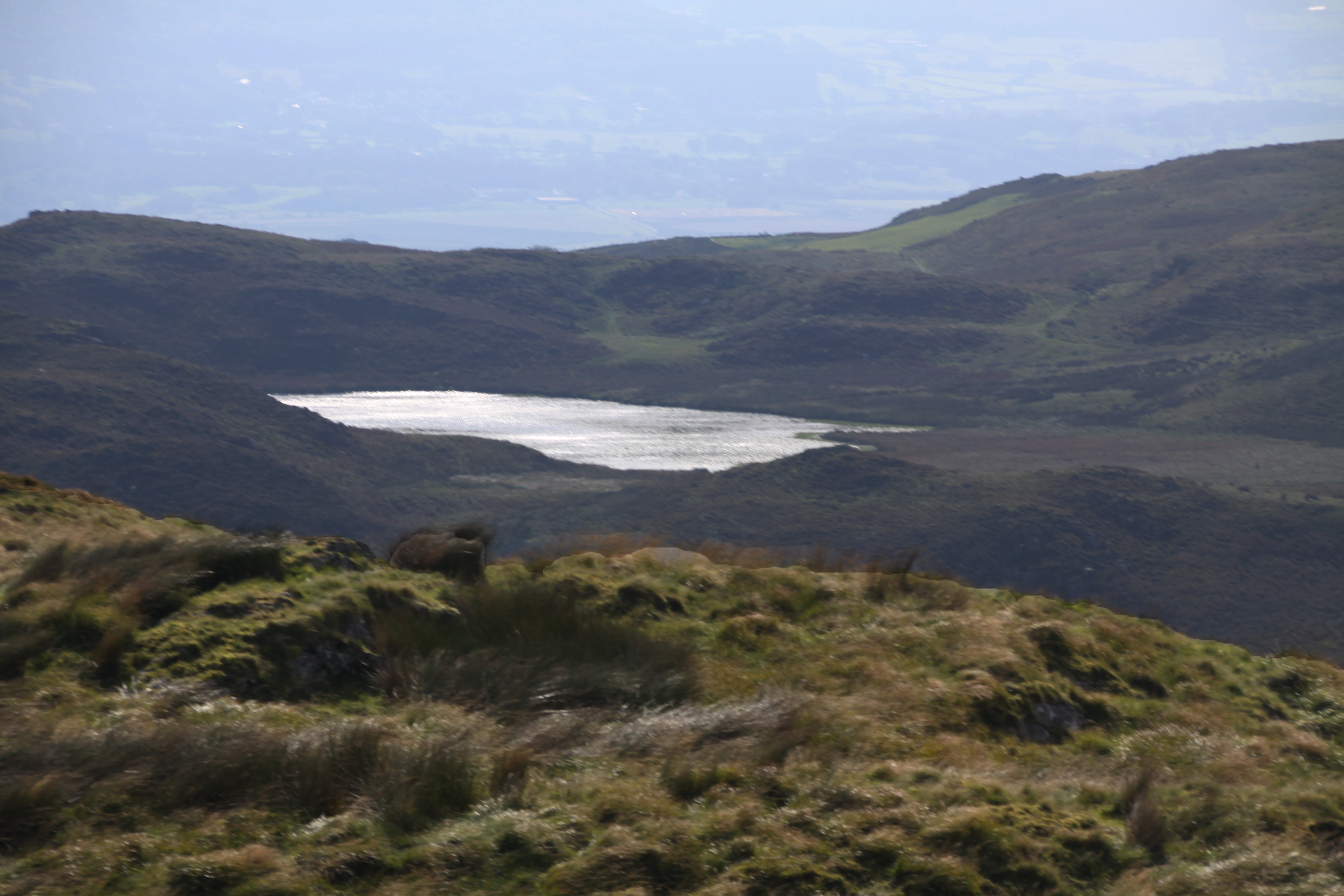
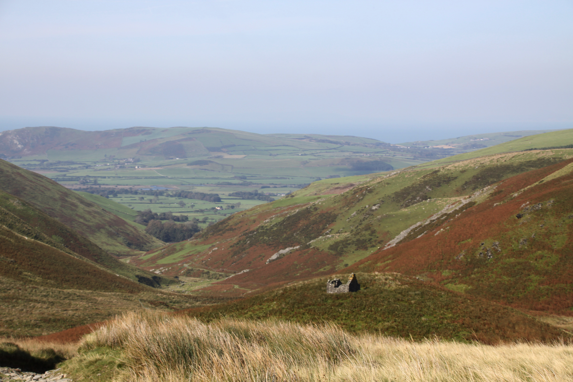
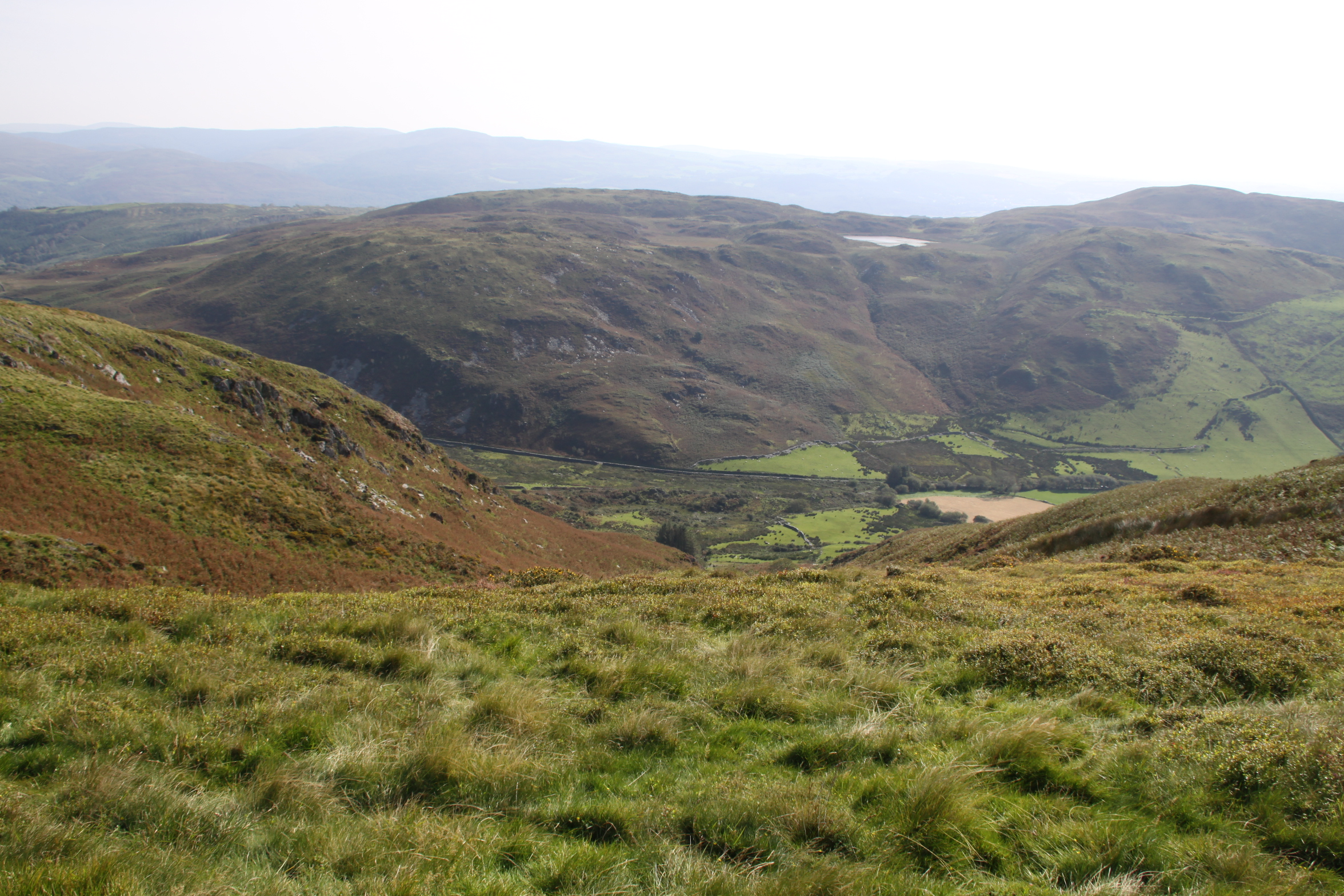
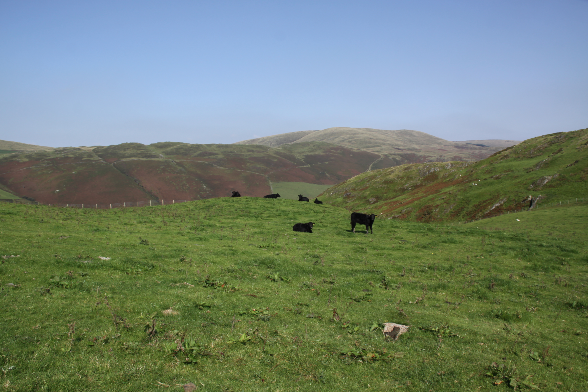
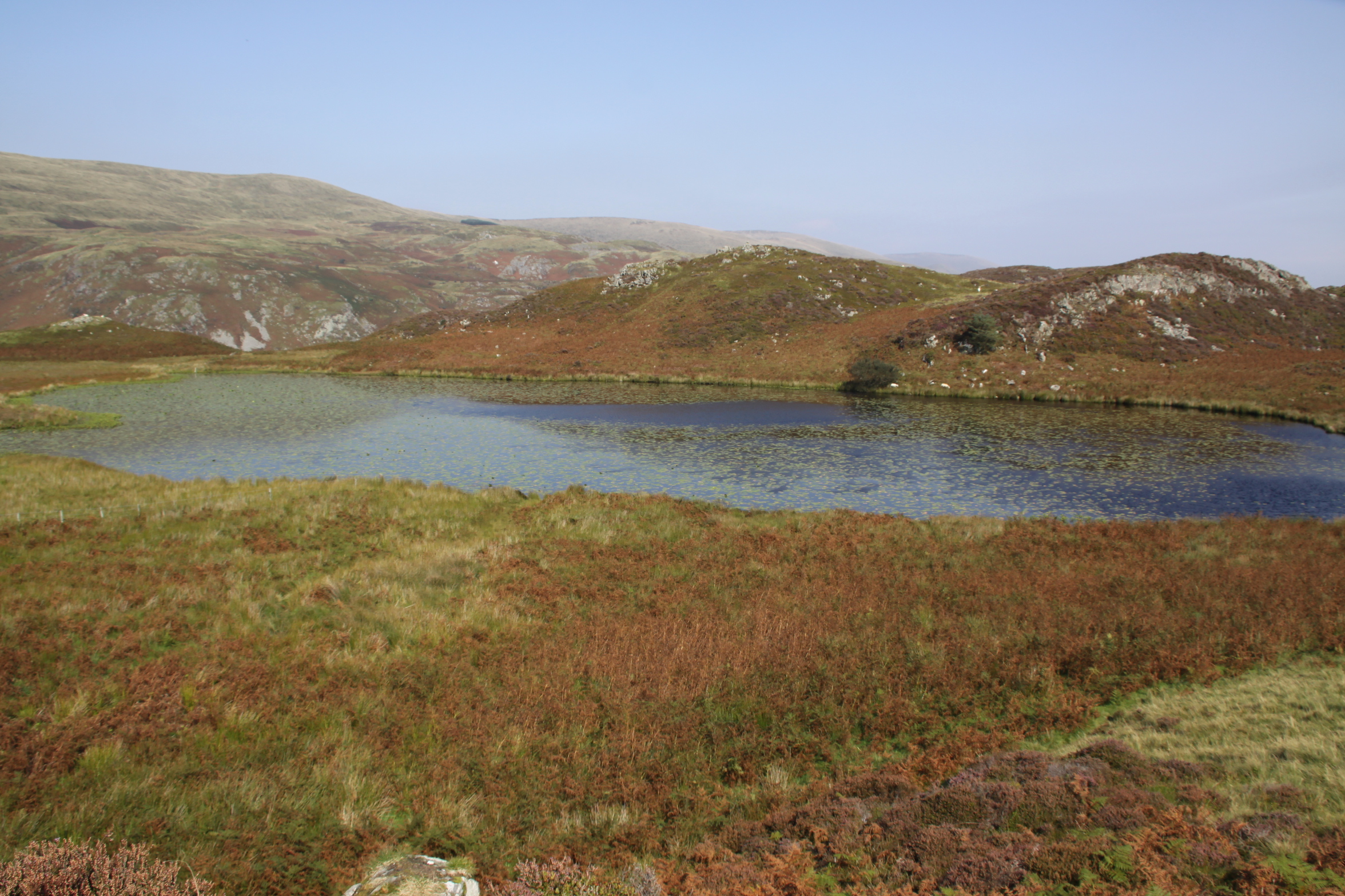
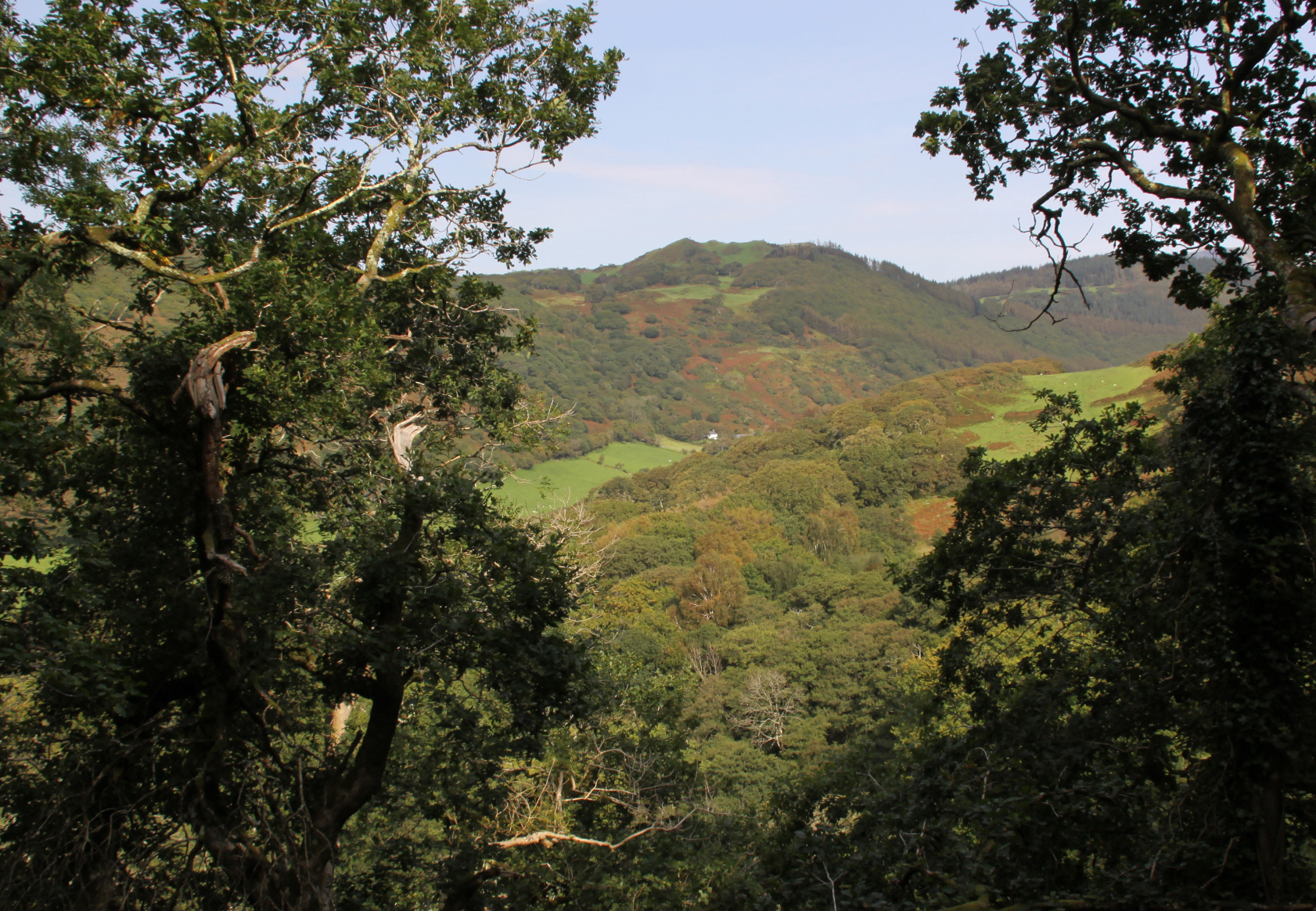
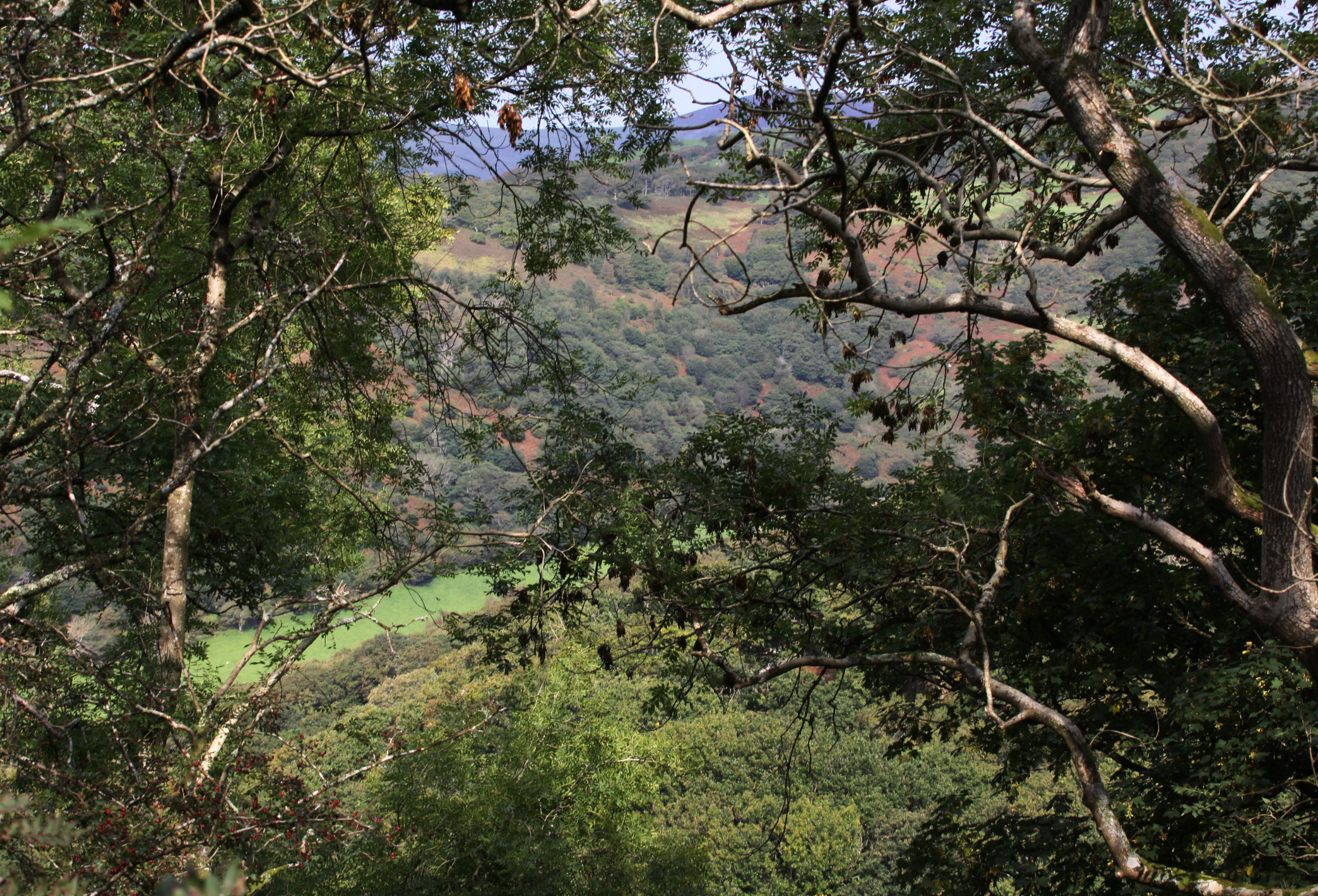
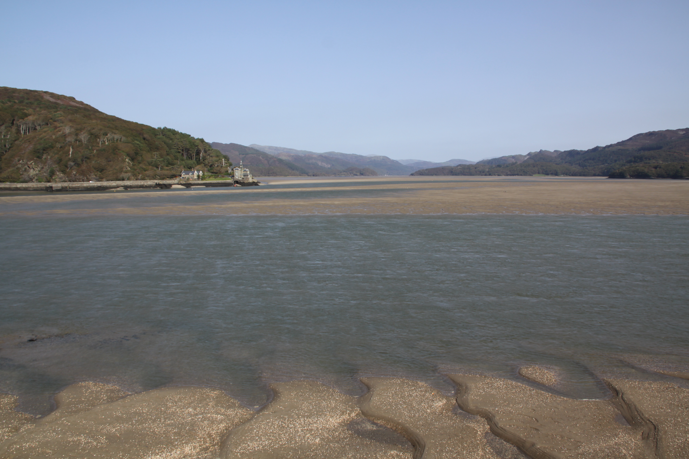
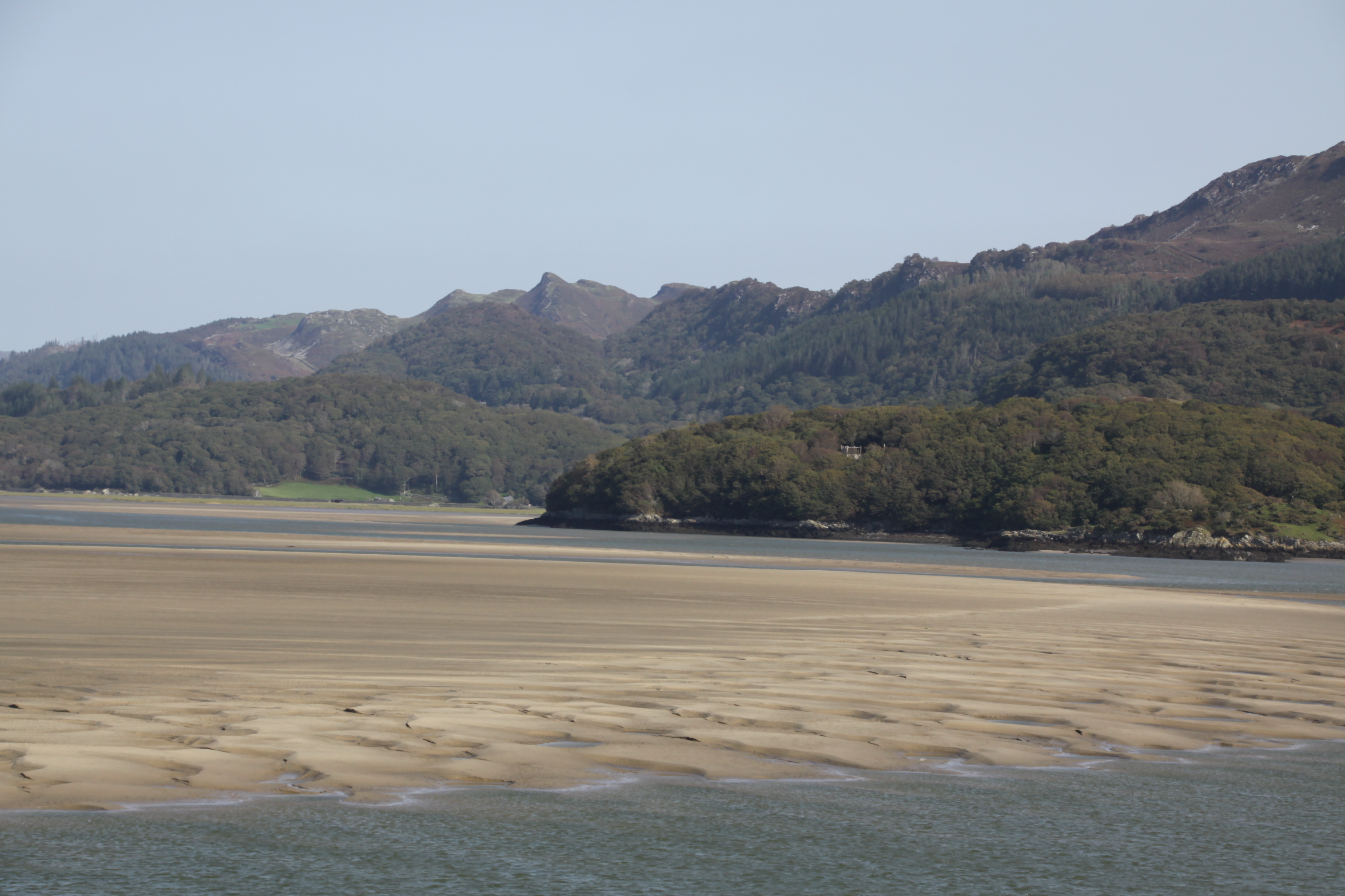
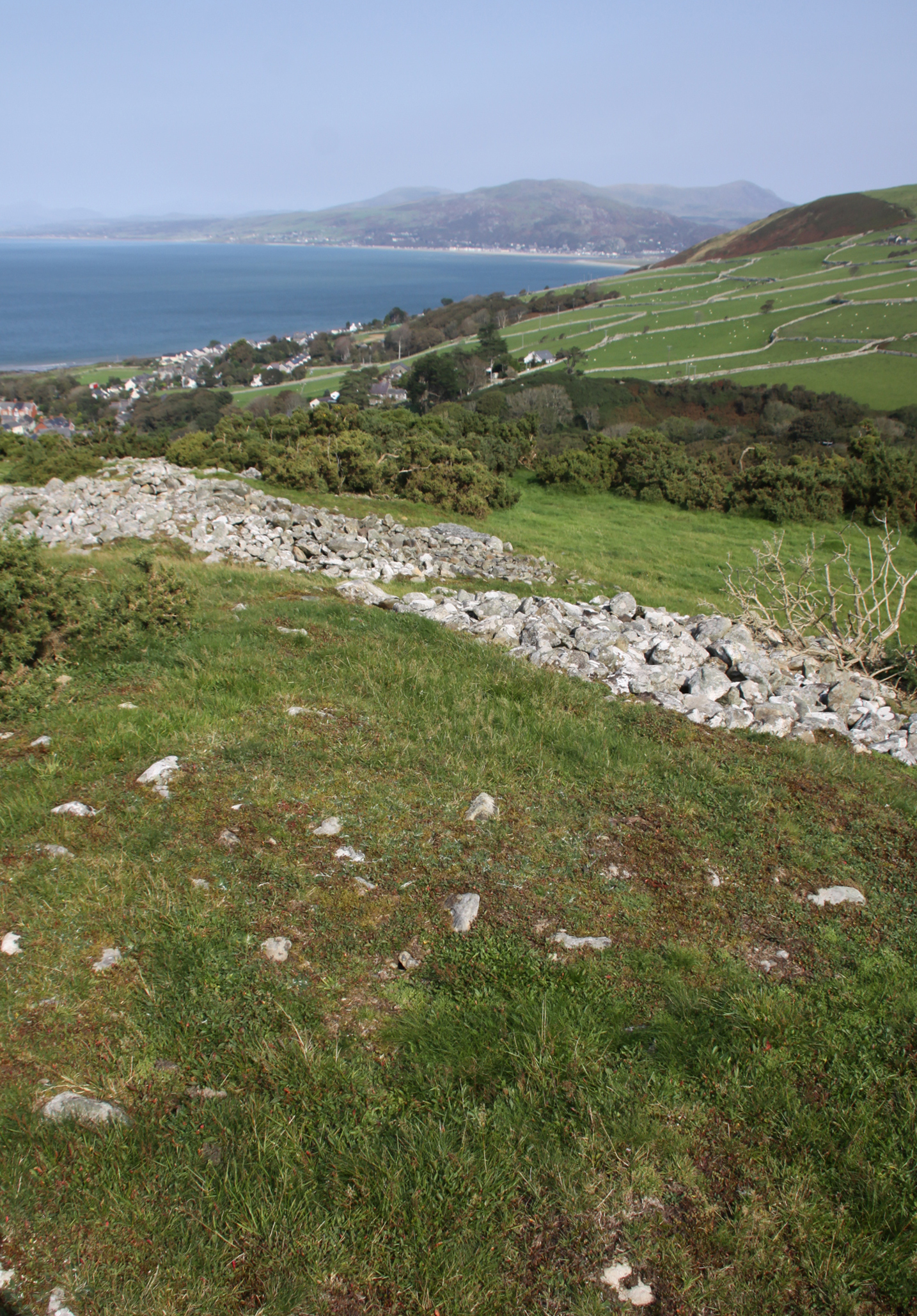
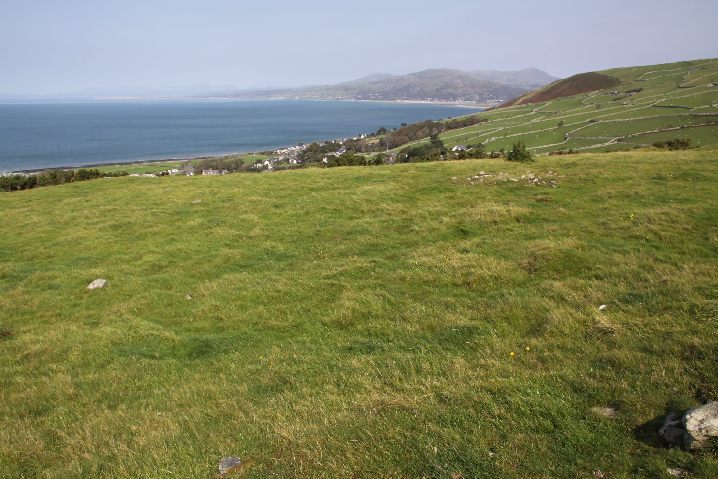
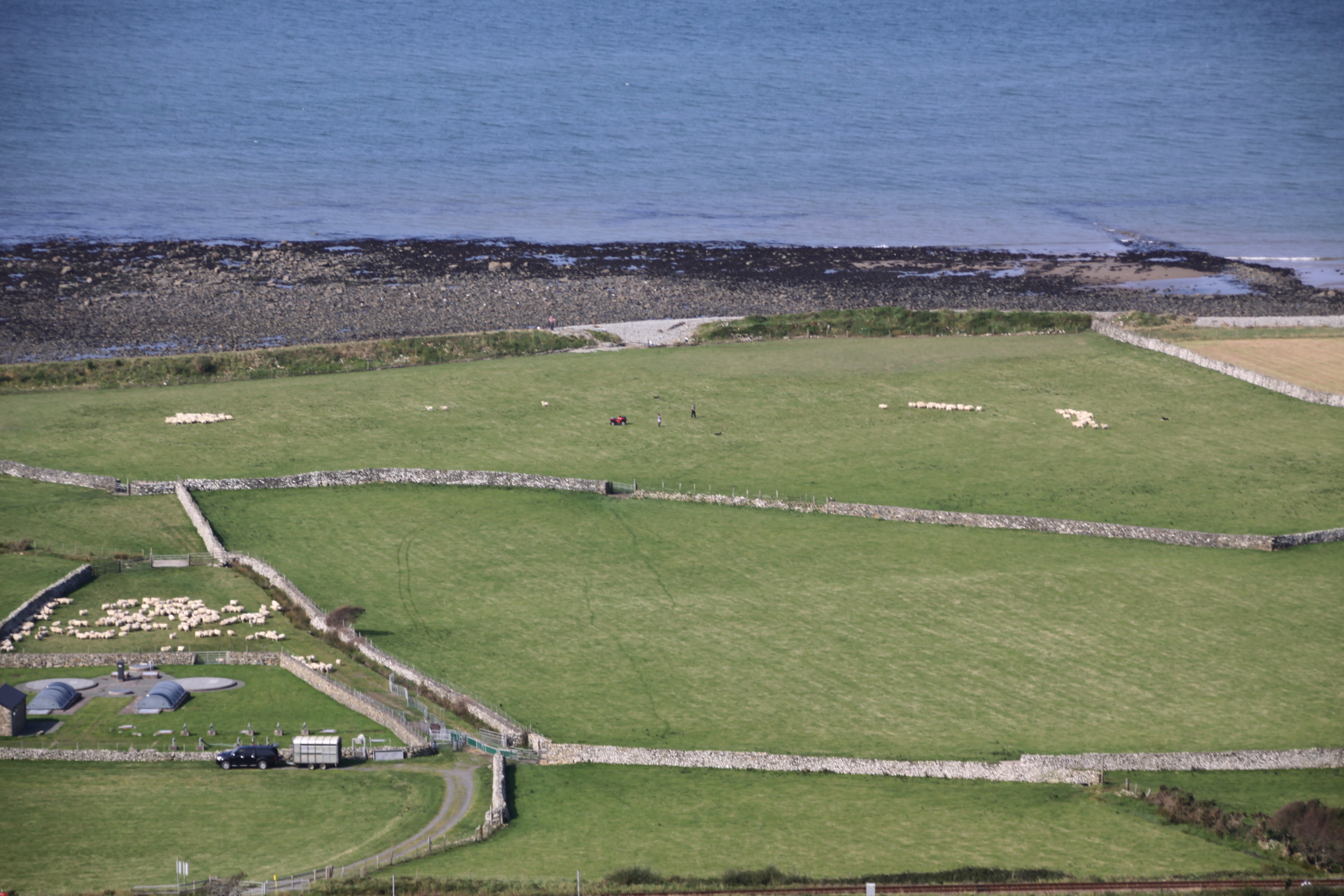
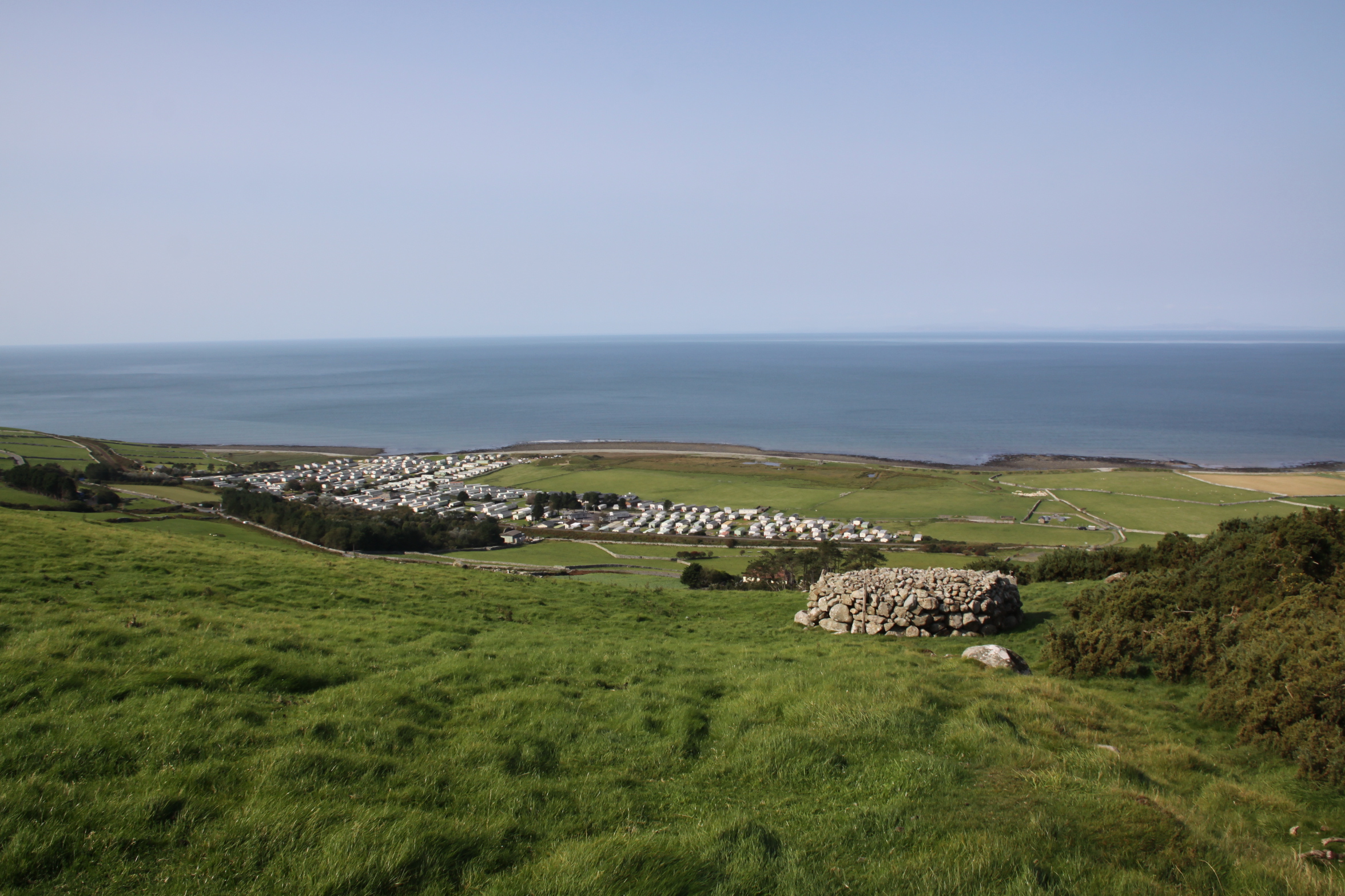
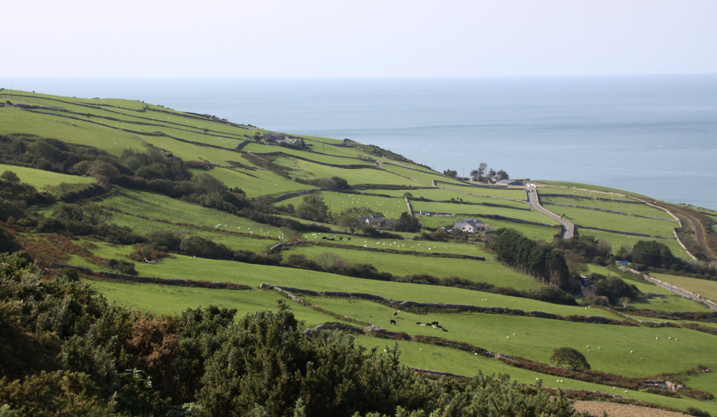
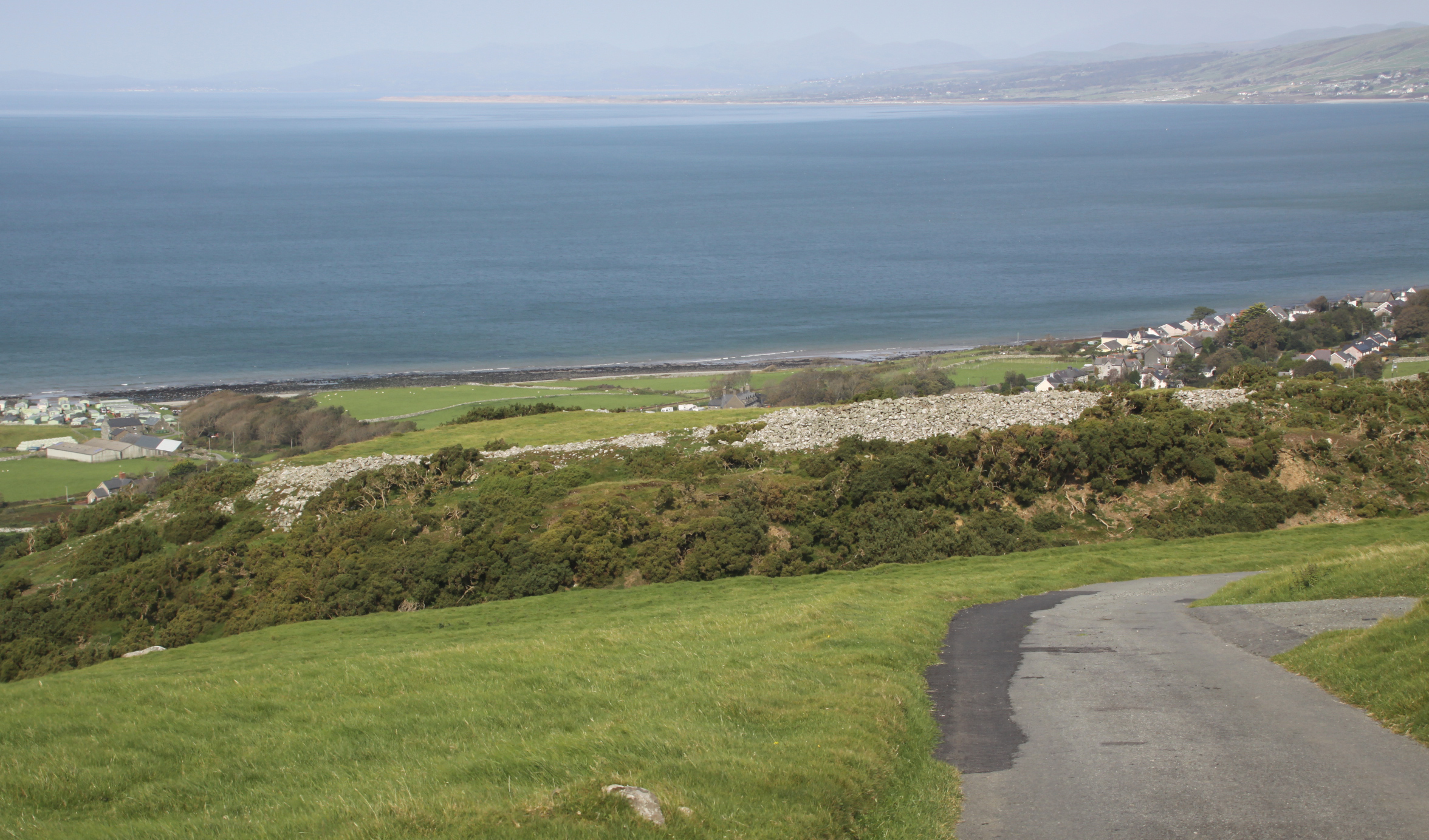
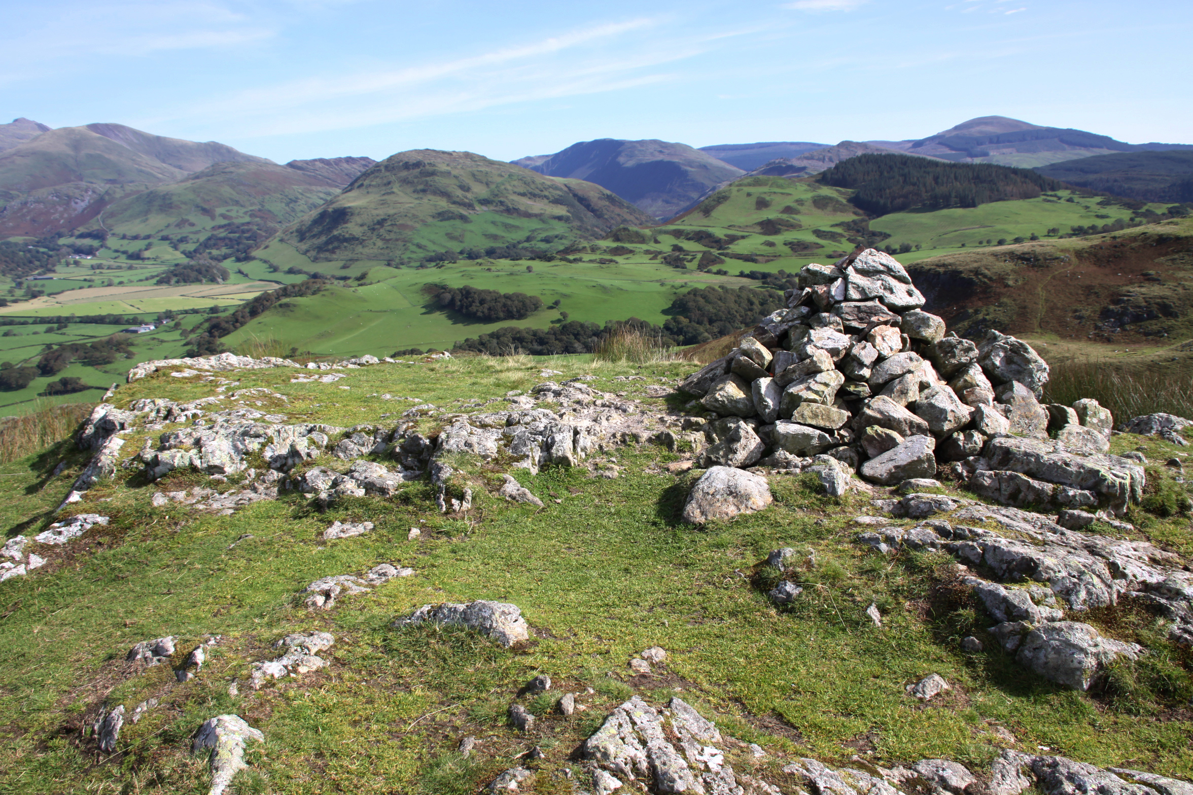
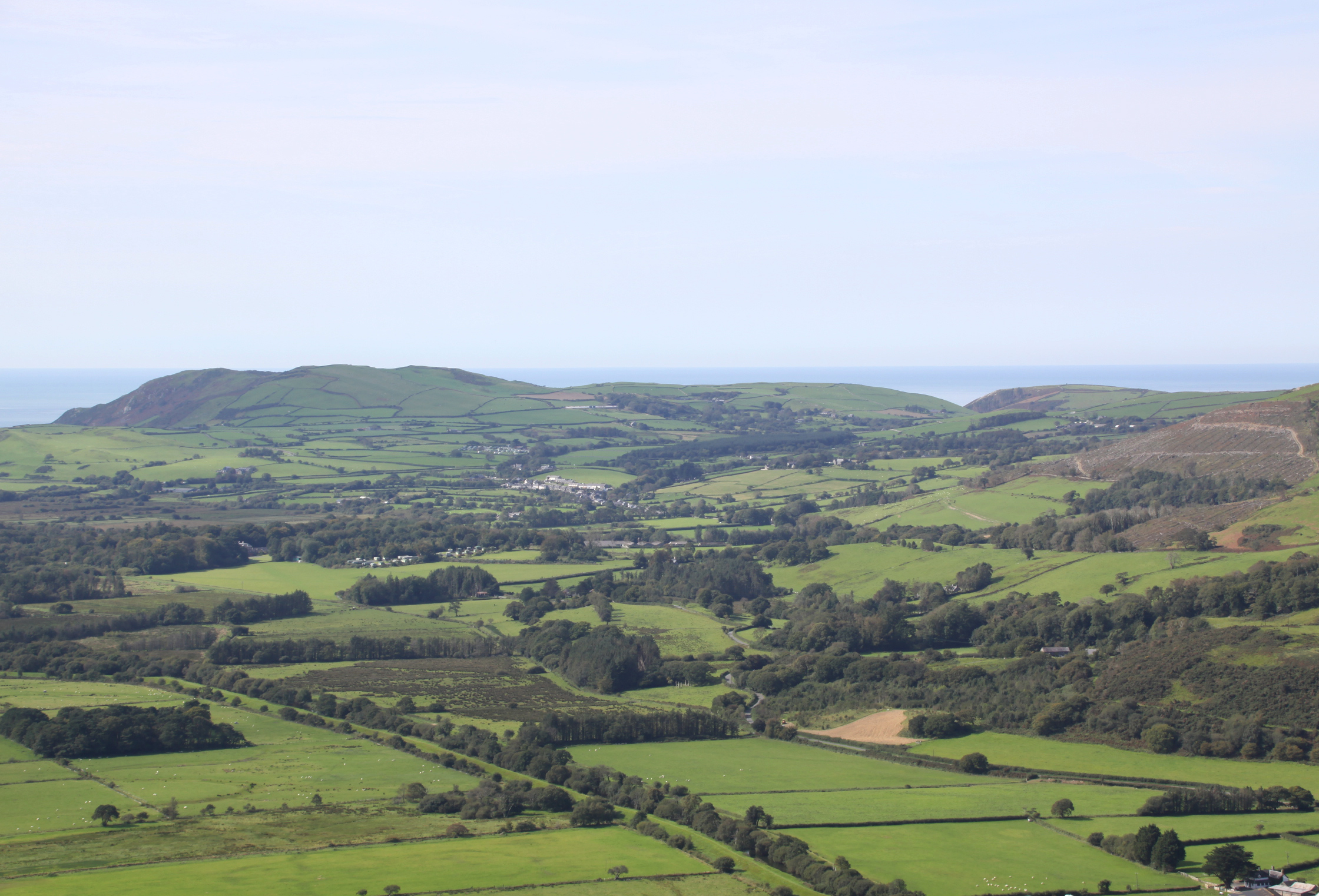
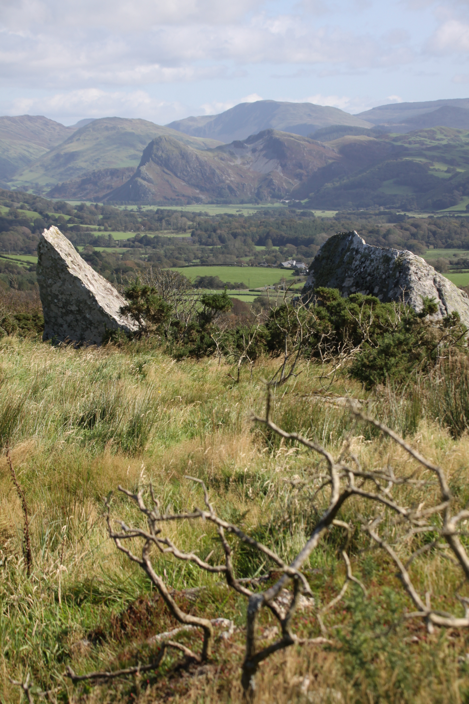
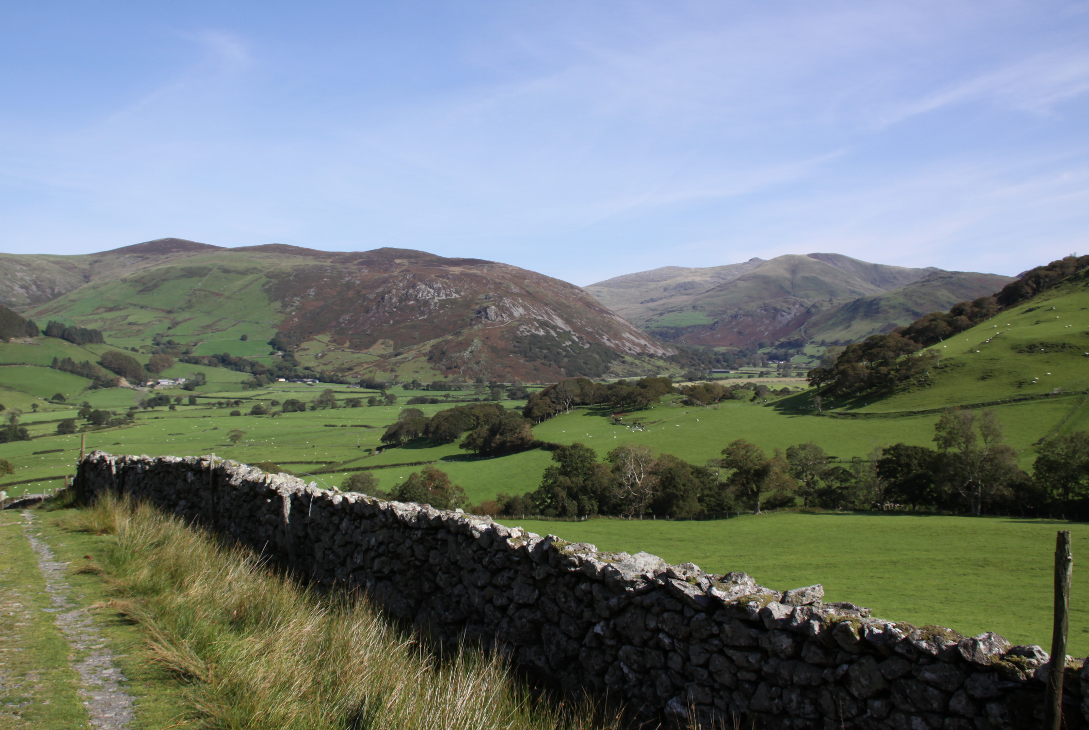
The location of the site is commanding. It is c.9 km inland and therefore although the sea is visible, it has no view over the comings and goings of anything that was travelling along the coast. If it was in league with any or all of the Tal y Garreg, Llechlwyd or Castell Mawr hillforts, that may not have been important. What it did have, and still does, is remarkable views over the Dysynni valley to the west and east from the summit, and good views towards the hill slopes to the north and south. It is lower than many of the surrounding hills to north and south, but difficult to reach except via the saddle connecting it to the main hillside to its north.

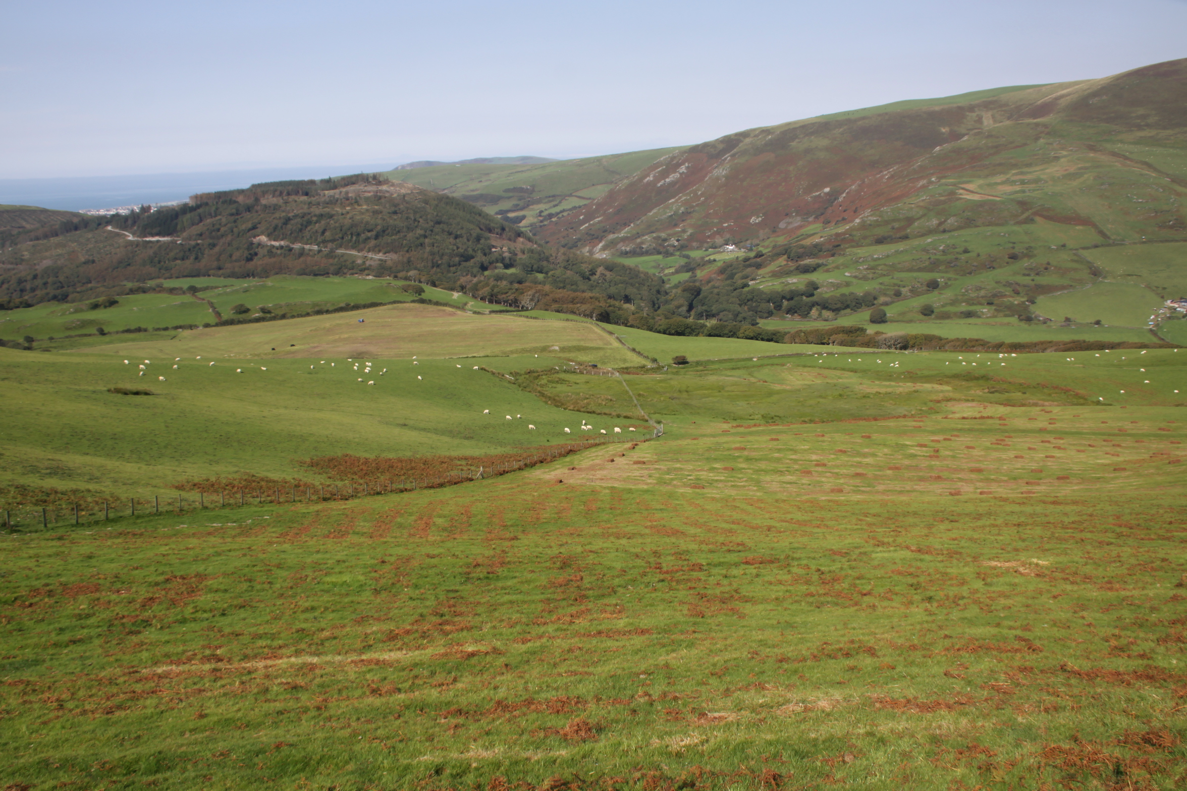
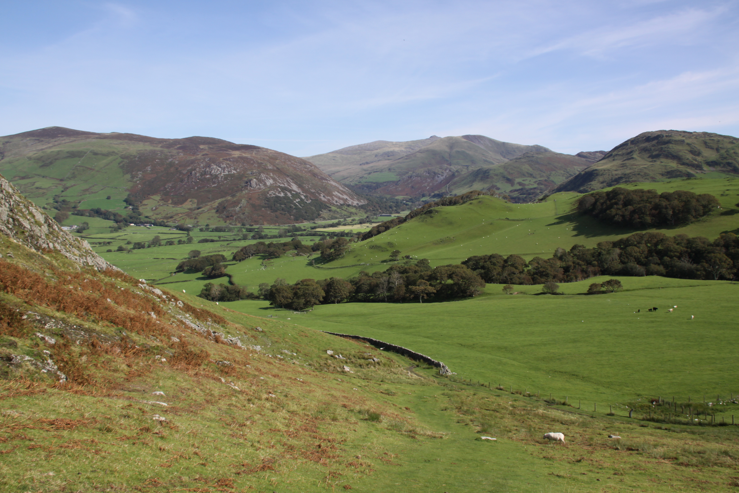
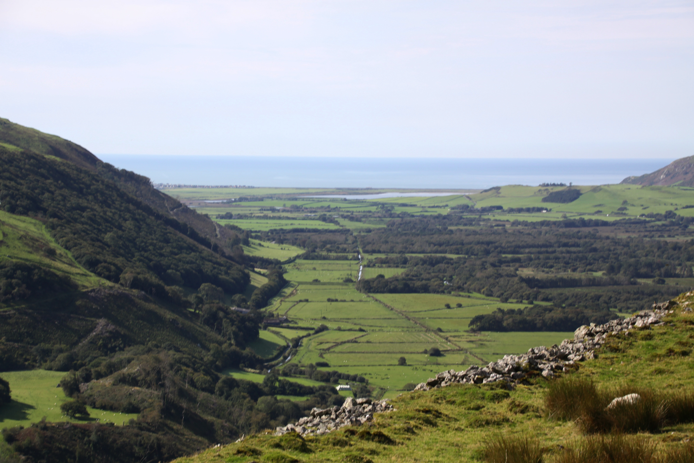
View to the west

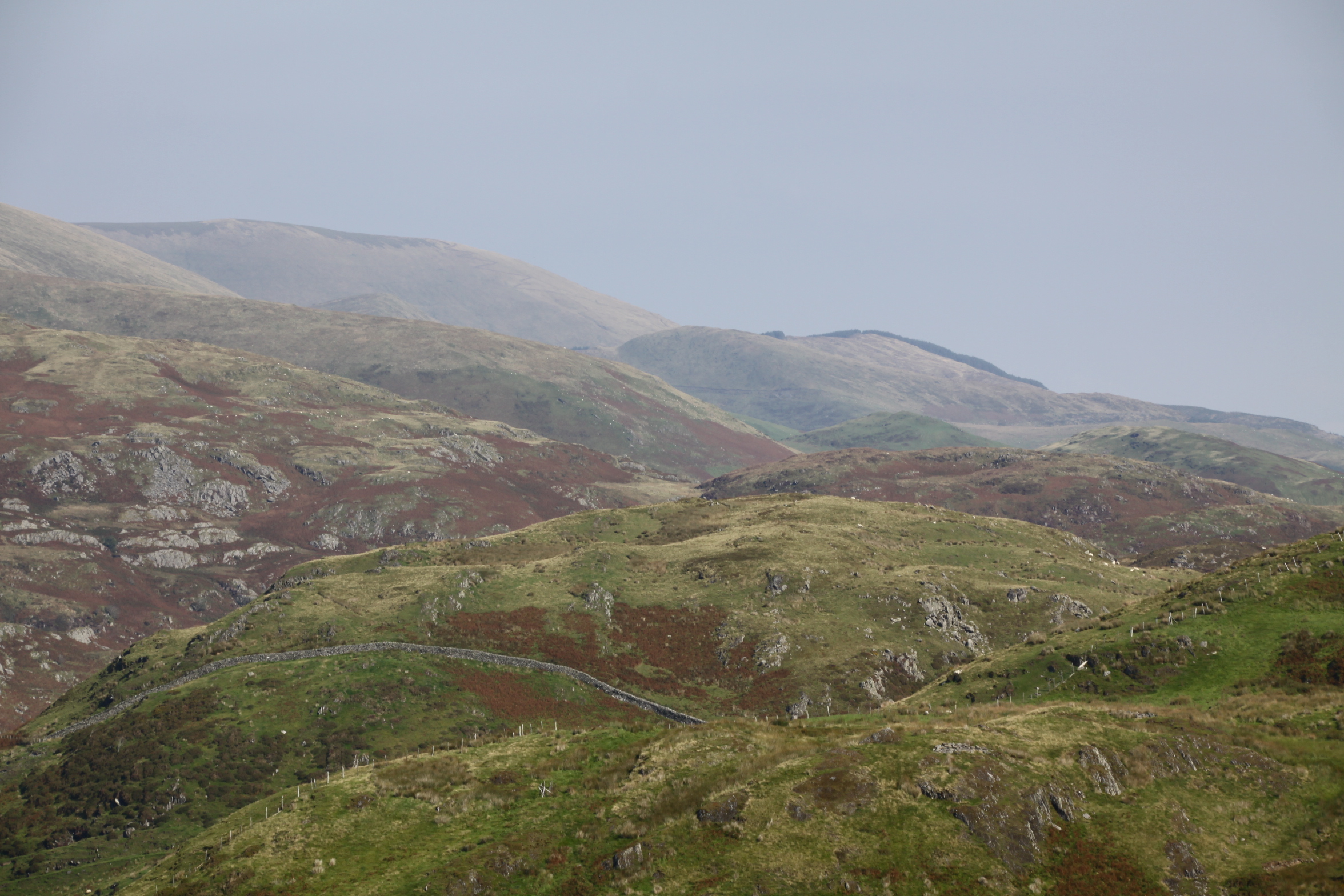
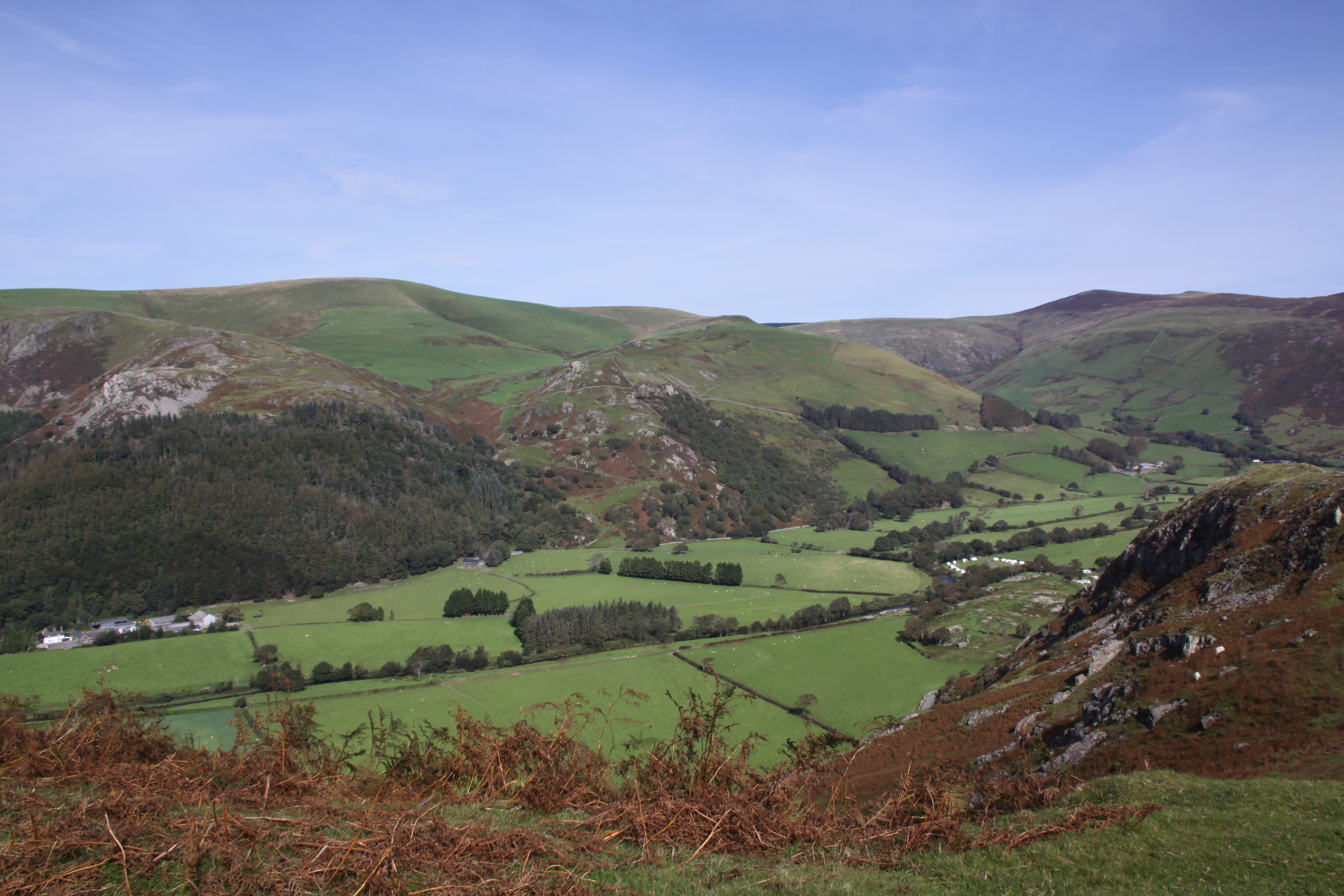
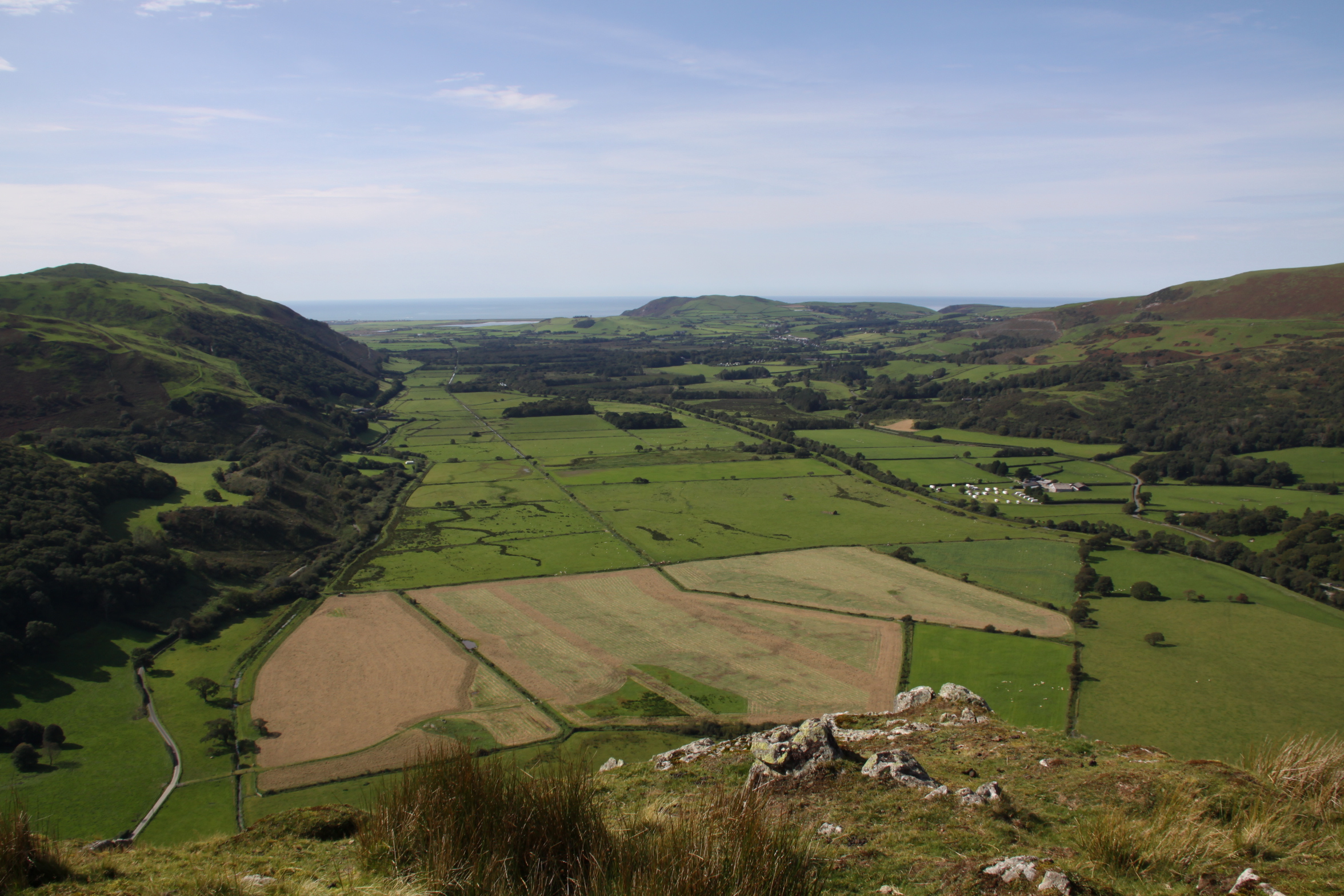
View to the east

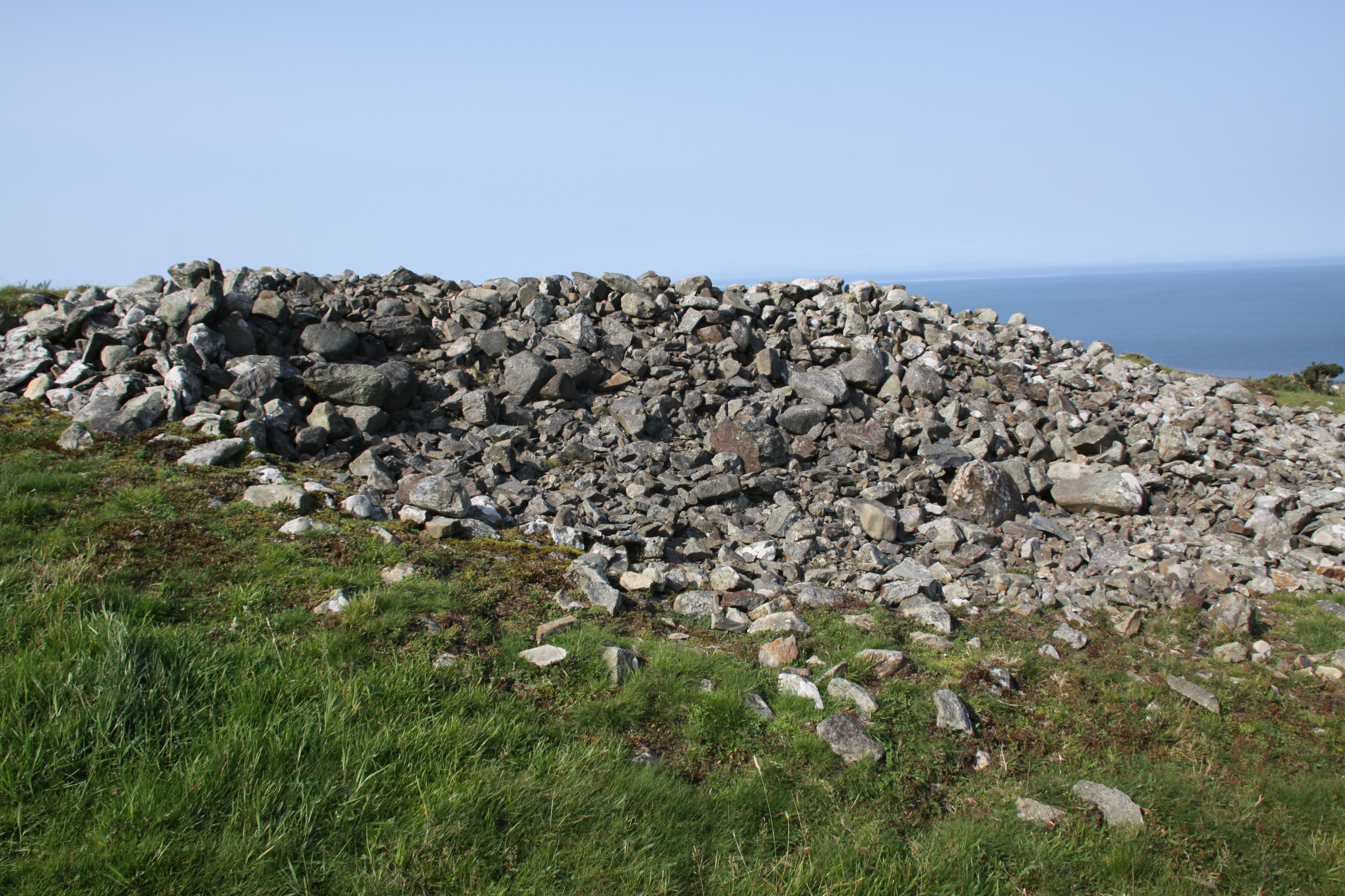
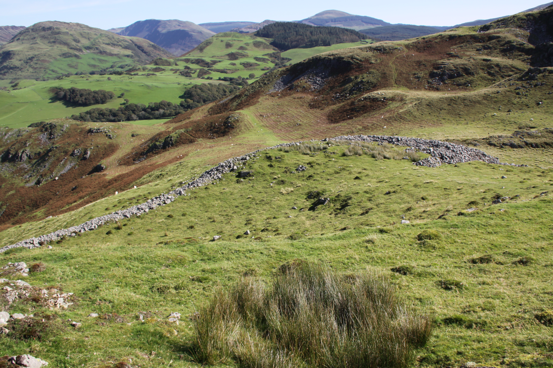
Stone-fronted ramparts
The function of this hillfort remains unknown. Even at 180m OD (590ft), Craig yr Aderyn cannot be completely ruled out as a settlement, but it it was very small, and would certainly be extremely inconvenient for permanent living, just like the other hillforts so far visited. Although there are level surfaces that might have been suitable for settlement huts and storage, the only signs of settlement that have been found to date are an indeterminate feature found in 1874, and two possible and unconfirmed platforms in the south-east corner found in the 1921. Whilst it might have been used as a seasonal settlement for taking sheep herds into the hills, it seems far too elaborate for this sort of role, particularly given the human resources required to build the impressive stone facing of the ramparts.

The entrance to the phase 2 extension to the hillfort
The stone-faced ramparts and entrance are themselves interesting, unique in the Dysynni area, and suggest that the site was particularly important to its builders. In his overview of the Iron Age, Timothy Darvill in his overview of mentions that after c.400BC a number of sites were provided with sloping stone-faced ramparts, which he suggests were as much for ostentation as defense. In a more recent discussion, focused on the Ceredigion hillforts, Toby Driver points to these as a recurring theme in that area, and he too suggests that they may have been intended to give the appearance of strength, a deterrent rather than being strictly defensive. Although they would have required substantial investment in effort to build them, they would have been relatively easy to maintain, as their survival today demonstrates.

Upper (phase 1) and lower (phase 2) ramparts, both stone-faced


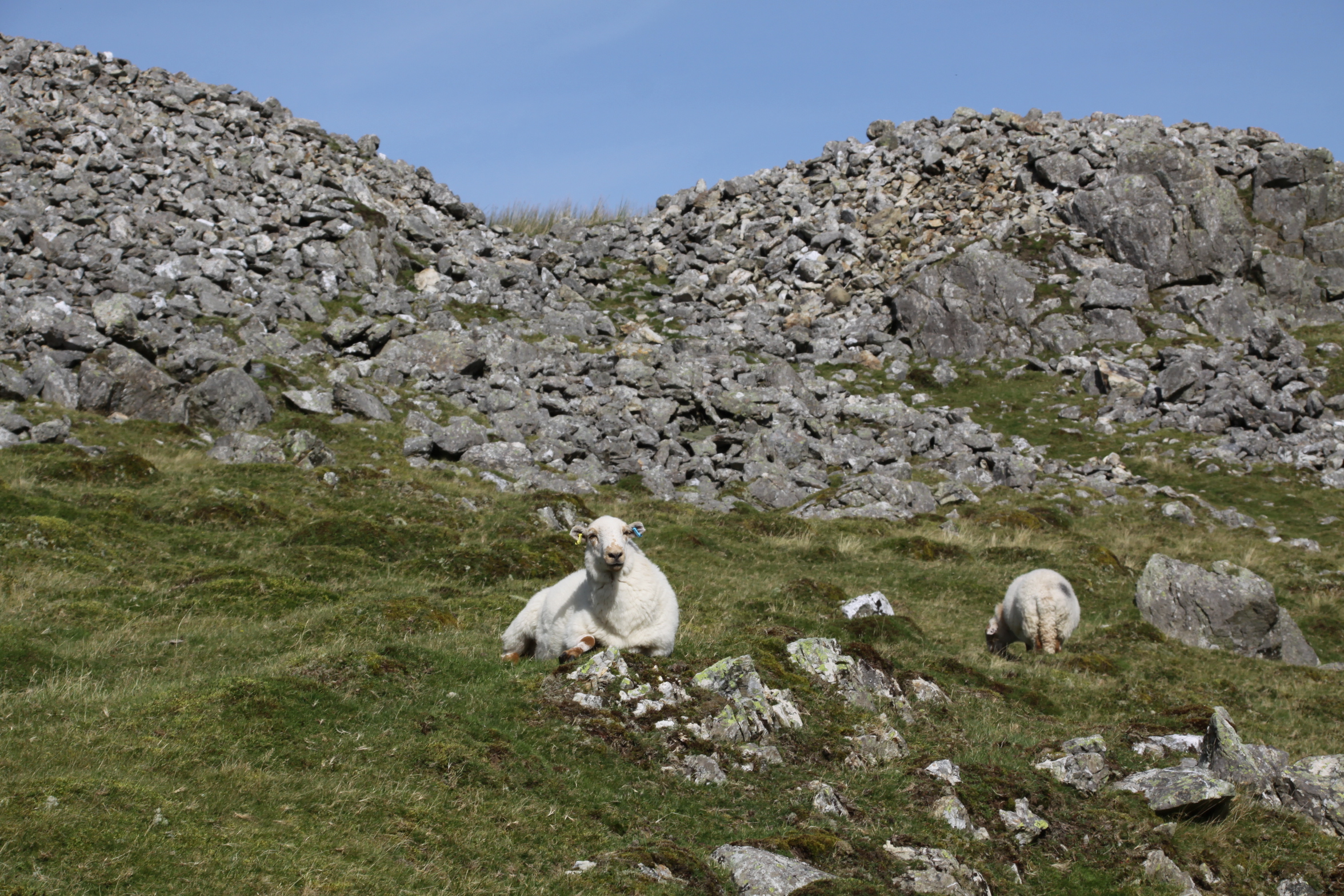
 If there was insufficient stone for the facing from digging out the ditches, there was plenty of loose stone available for the ramparts. Nearby rockfalls from the hill behind Craig yr Aderyn would have done the trick, and it is quite likely that those prominent today were the result of glacial activity. The rocks in the immediate area were much bigger than any of those used for the stone facing, so they were probably broken up. Interestingly, much of that rock is quartzite, some of it quite massive, but none of that was used in the rampart facing. This suggests that the builders had a very specific vision, and it didn’t include quartzite.

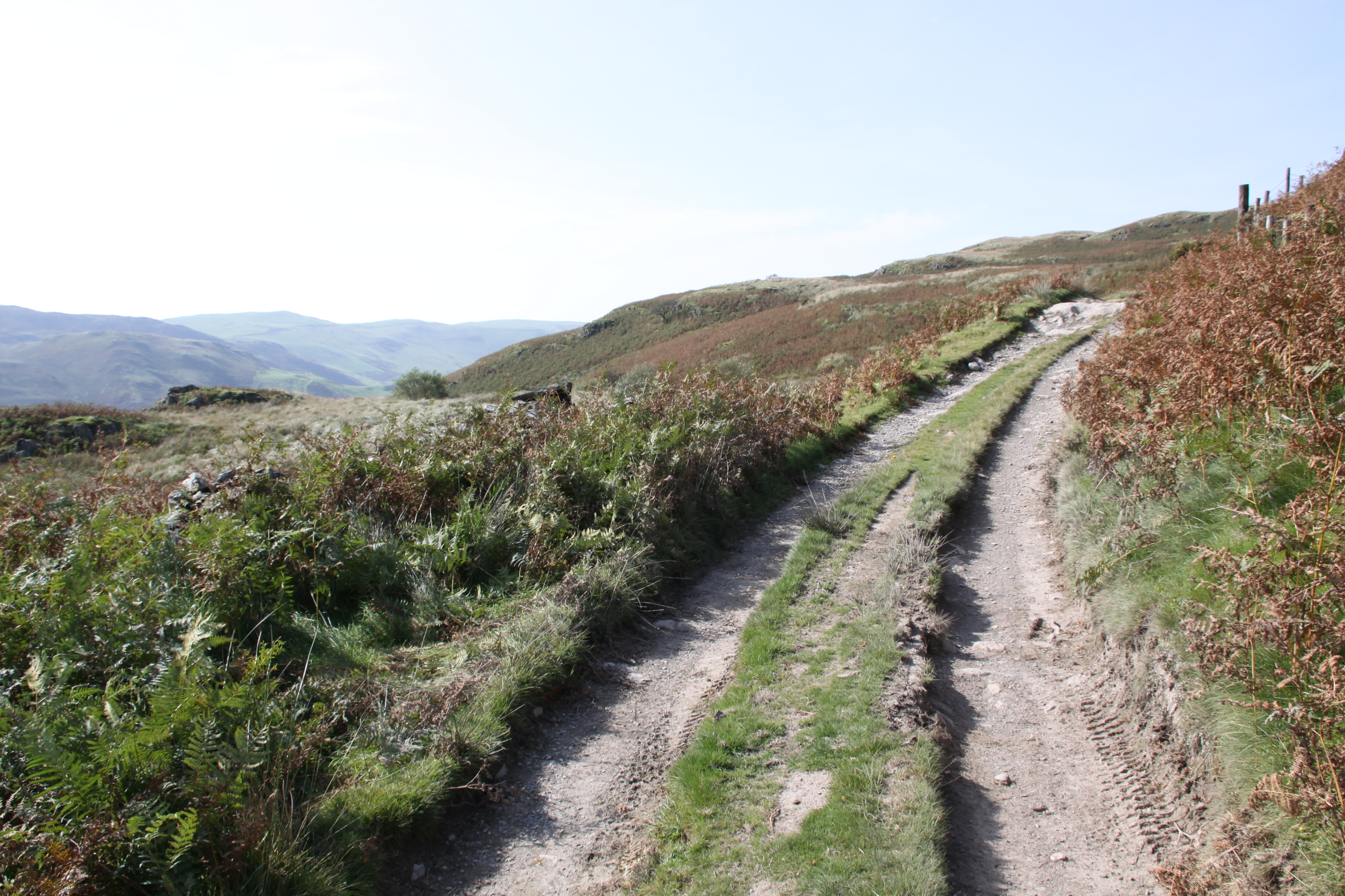
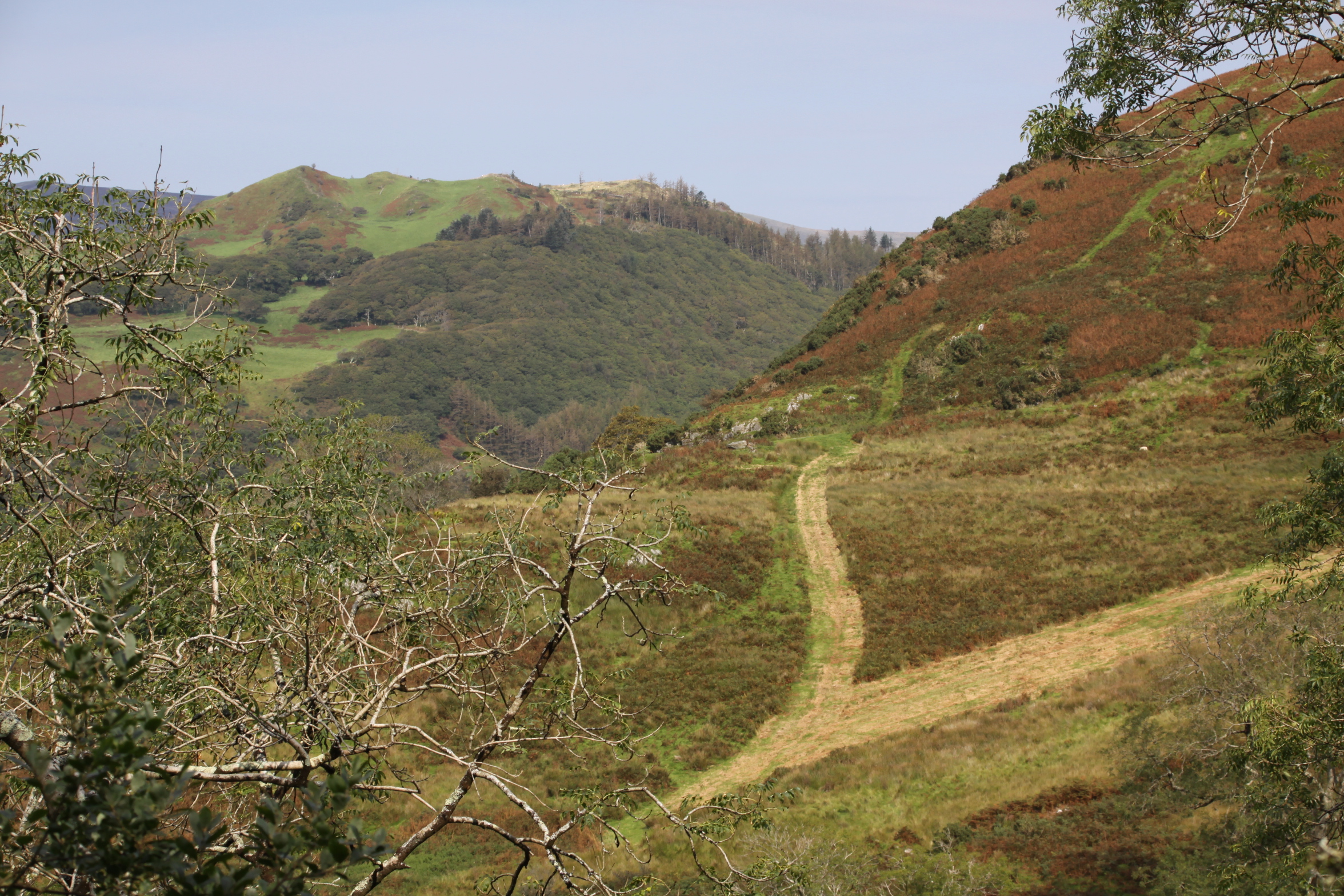
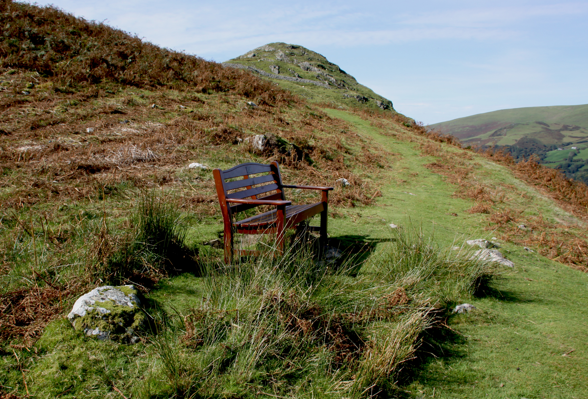
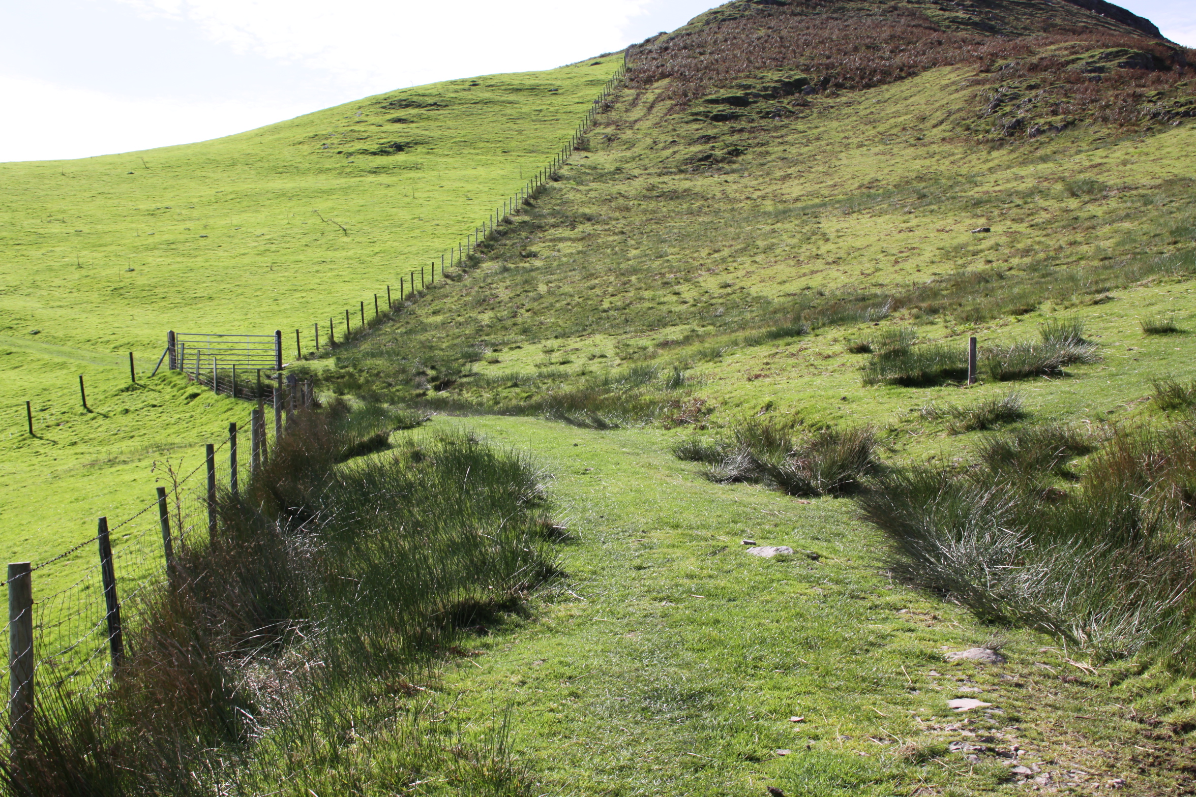
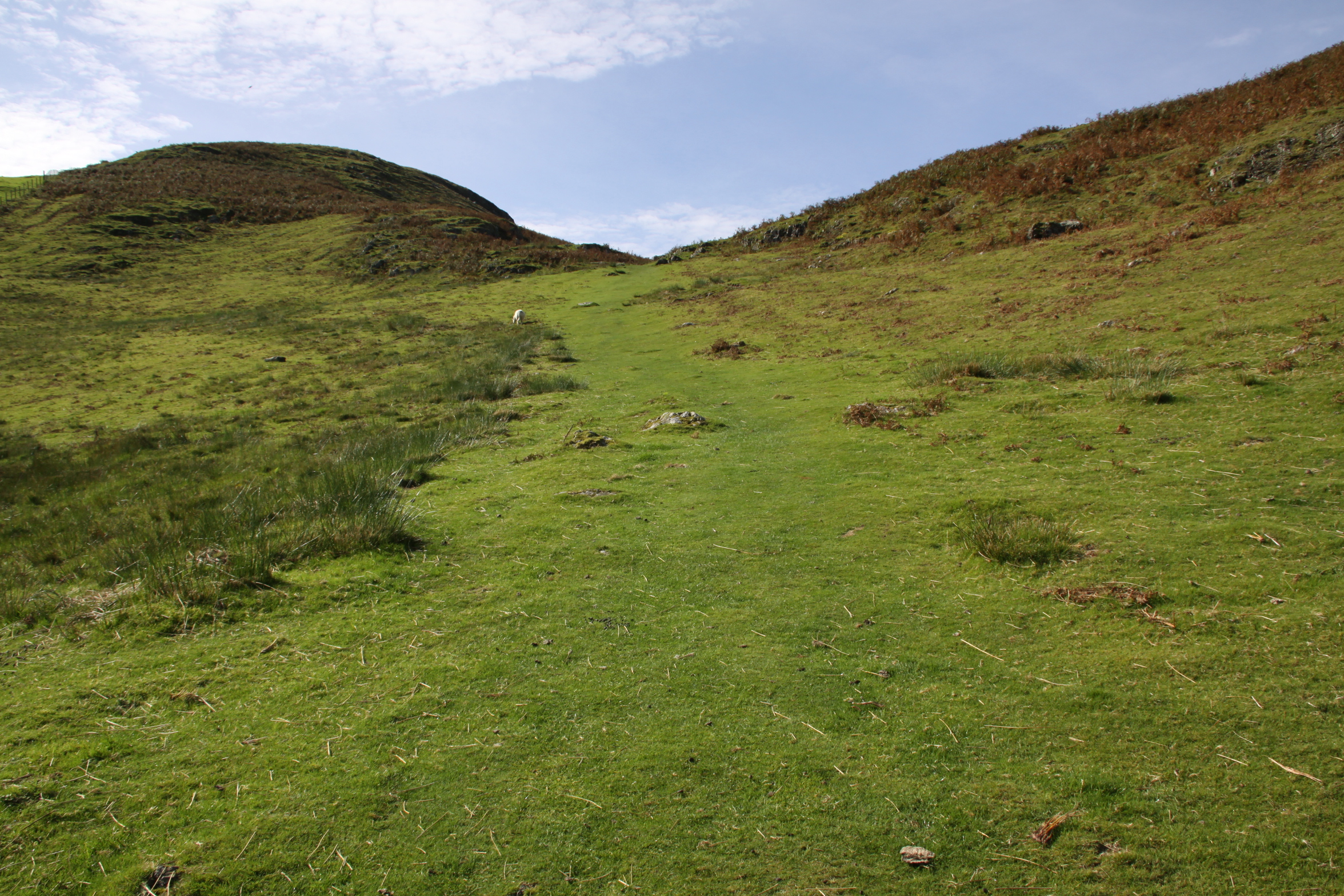
The hillfort coming into view along the col (or saddle).
One slight oddity if the hillfort was to impress, is that it is not visible from a distance. It is only when one is almost upon it that the impressive stonework comes into view. Its appearance is defensive, because the ramparts are large and stone-faced, and the entrance well built, but the approach is not particularly challenging. I paused twice for a breather on my way up, but I’m in my mid 50s and not at optimal fitness. For a fit person it would present no difficulties at all, and for a hypothetical raiding party accustomed to such tasks it would have been all in a day’s work. The approach is out of direct line of sight of the hillfort itself, and partly obscured even from the summit. If its role was primarily defensive, lookouts would have to be stationed in the area to ensure that any threat was detected early. its potential as a defensible retreat was tried and tested during the 10th Century AD when, according to a publication by Snowdownia Active, Tywyn was attacked and burned by Norsemen. When they approached from the sea a warning beacon was lit on the coast, and Tywyn residents retreated to Craig yr Aderyn. There are related theories for use. One are that the site might have been used as a refuge for local farming families or the most important of the local elite if there was conflict over land, or it could have been used as a secure communal store for important raw materials, food and craft products, including livestock. There is really nothing to help narrow down a precise role.

Map showing the known hillforts in the area (my annotations in yellow). Source of map: Archwilio
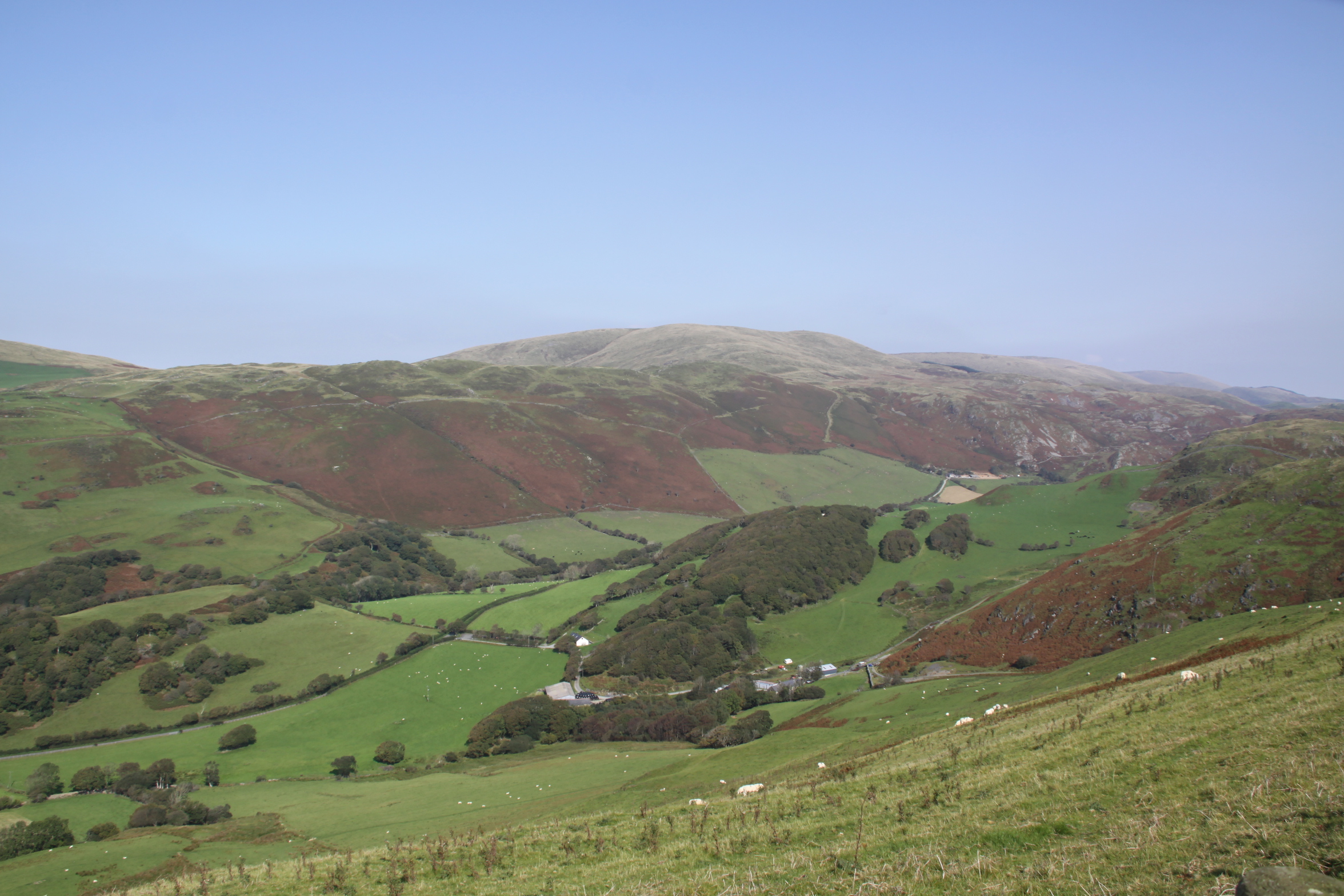
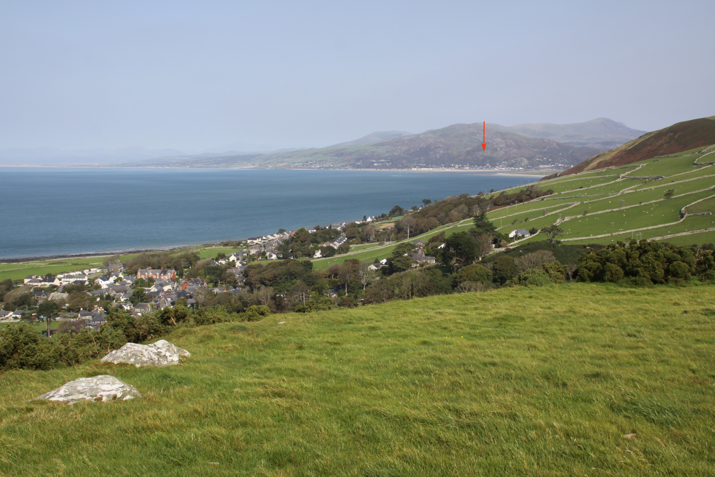
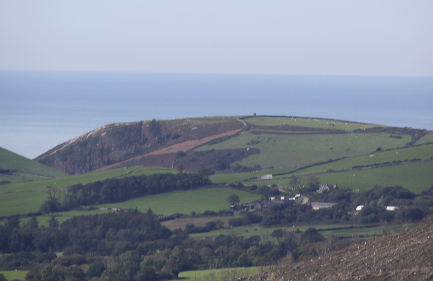
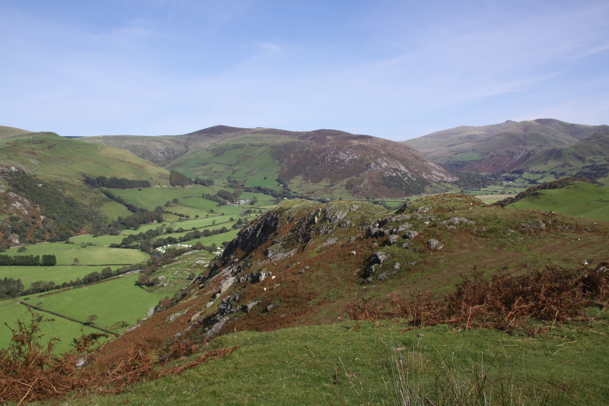
From Craig yr Aderyn there is a 360 degree view of the surrounding landscape. From the hillfort it is a very short walk to the summit where there is an excellent, uninterrupted line of sight west to Mynydd Garreg and the sea in the distance, along the Dysynni valley. Although I couldn’t make out the trig point or ramparts on Tal y Garreg hillfort through my telephoto lens, the ramparts are certainly in the line of sight. The promontory on which Llechlwyd sits was easy to make out and I could see where Castell Mawr was located. Bwlch too, which I haven’t yet visited, was easily visible, with its unmistakable trig point. These lines of sight would have been no use at all for seeing what people were up to, because the other hillforts were simply too far away, but would be invaluable if the occupants were signalling to one other about any threats from outside the area, including from the sea. There are no known hillforts nearer to Craig yr Aderyn.

The ridge at the left of the photograph, at the end of the Dysynni valley is Mynydd Garreg. Llechlwyd and Tal y Garreg hillforts are at the coastal end, and Castell Mawr at the opposite end of the ridge. Bwlch is also visible at far right. Views from Craig yr Aderyn

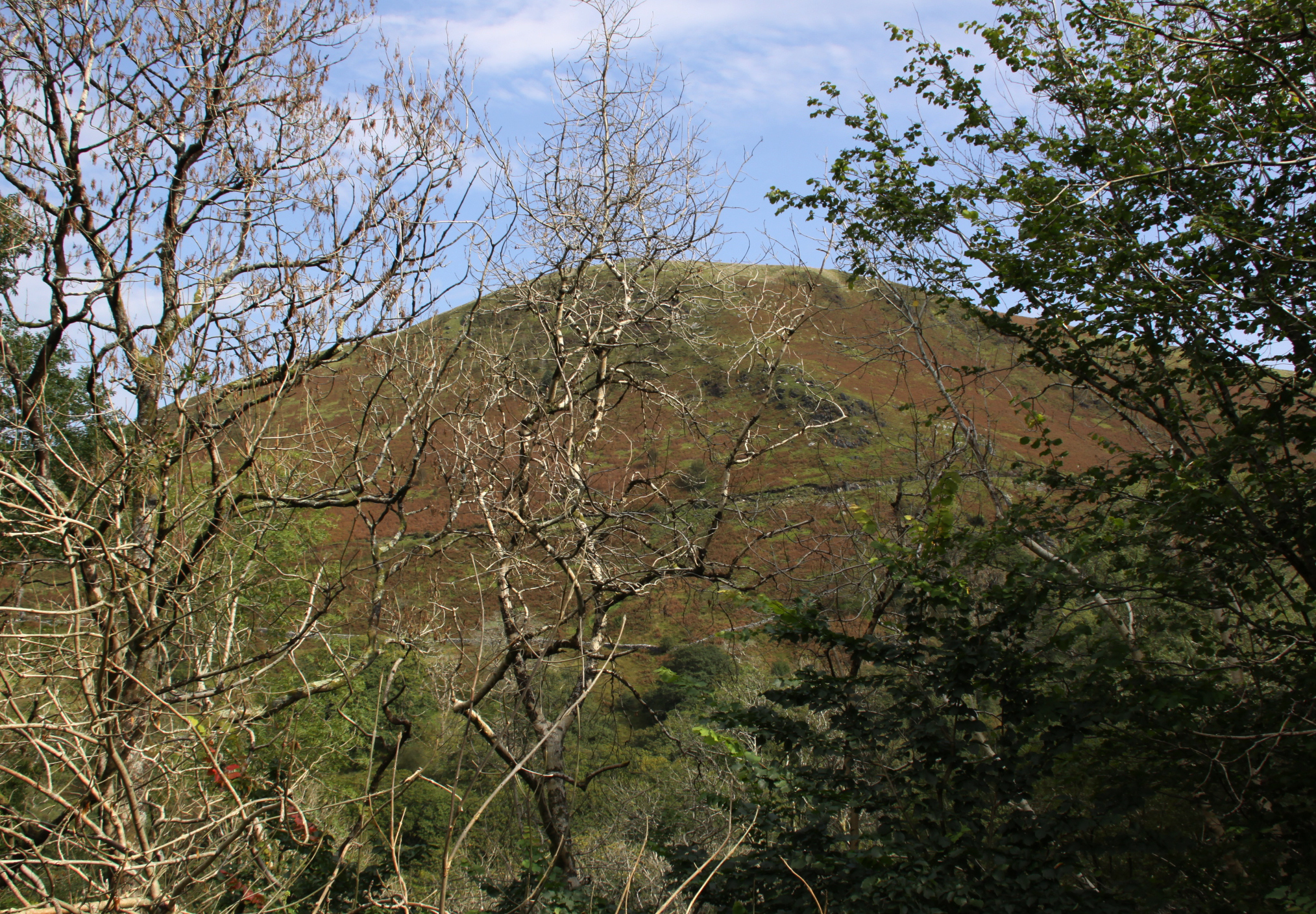
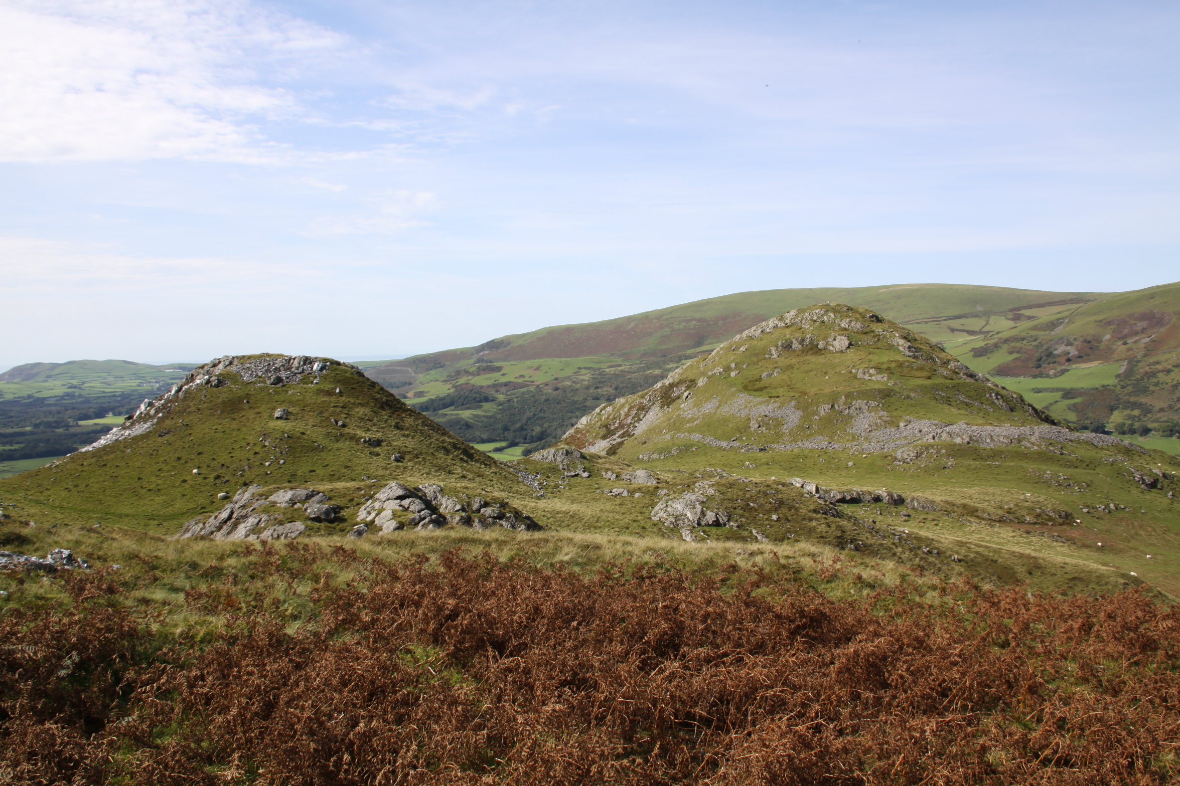
Bwlch hillfort from Craig yr Aderyn

Phase 2 ramparts, incorporating an enclosure that may be later in date
The second phase of the hillfort argues a renewed interest in securing the space, extending it over a larger area and adding further stone-faced ramparts. Two distinct phases of hillfort construction have been identified at many sites elsewhere in Britain. Although it is unknown whether the two phases at Craig yr Aderyn conform to this pattern, it seems worth giving a brief outline of the general framework. The first British phase of hillfort building occurs, at the transition between the Late Bronze Age and the early Iron Age at c.800BC, gaining momentum after c.600BC. These were generally single rampart-and-ditch (univallate) structures. The addition of more defenses and additional banks and ditches then came substantially later, at a time when some other hillforts were abandoned at around 400BC.

Craig yr Aderyn from the hillfort Castell Mawr
Some hillforts in the south of England continued to be used into the Roman period. It would not be surprising if those in west Wales, became overtly defensive during and after the Roman invasion of Wales in AD74. If the identification of Romano-British pottery was accurate, this might have coincided with a new anxiety about protecting the community from the threat of Roman incursion, or the threat of raiders coming to secure products to accumulate resources that would help negotiations with Roman traders or native traders securing goods to sell to the Romans. According to Roman sources Britain was a good source of slaves, and rural areas were likely targets.
If it emerges that the local hillforts were contemporary at the time of their original construction, I am leaning towards a completely speculative model of fortified sites being used to enable people to stay in touch and share early warnings about potential threats from further afield. More about the role and function of local hillforts will be discussed on a future post, once I have finished visiting all nine hillforts (four down, five to go).
Sources:
Bowen, E.G. and Gresham, C.A. 1967. History of Merioneth, volume 1. From the earliest times to the Age of the Native Princes. The Merioneth Historical and Record Society.
Cunliffe, B. 1995. Iron Age Britain. Batsford
Driver, T. 2013. Architecture, Regional Identity and Power in the Iron Age Landscapes of Mid Wales. The Hillforts of North Ceredigion. BAR British Series 583.
Gwynedd Archaeological Trust 2009. A visitor guide to the main Iron Age hill forts of Meirionnydd. Project No. G1770. Report No. 839
RCMHCW 1921. Royal Commission on the Historical Monuments and Constructions in Wales and Monmouthshire. An Inventory of the Ancient Monuments in Wales and Monmouthshire. Volume IV: The County of Merioneth.
Sjöberg, K.S. 2014. Hidden possibilities. Possible uses of hillforts in southern Gwynedd, north-west Wales. Unpublished Masters thesis, Uppsala University, Department of archaeology and ancient history. http://www.diva-portal.org/smash/record.jsf?pid=diva2%3A799381&dswid=8151
Snowdonia Active 2018. Craig yr Aderyn. Site Guides for Recreation. Protected Landscapes of Wales.
Websites:
Archaeology Data Service
https://archaeologydataservice.ac.uk
Coflein
https://coflein.gov.uk/en/archive/6512930/details/504
https://coflein.gov.uk/en/archive/6512928/details/504
https://coflein.gov.uk/en/archive/6512929/details/504
Gwynedd Archaeological Trust (no date). Historic Landscape Characterisation: The Dysynni
http://www.heneb.co.uk/hlc/dysynni/dysynni2.html
Gwynedd Archaeological Trust (no date). Hillforts in Dwyfor and Merioneth http://www.heneb.co.uk/merionethforts/9craigyraderyn.html

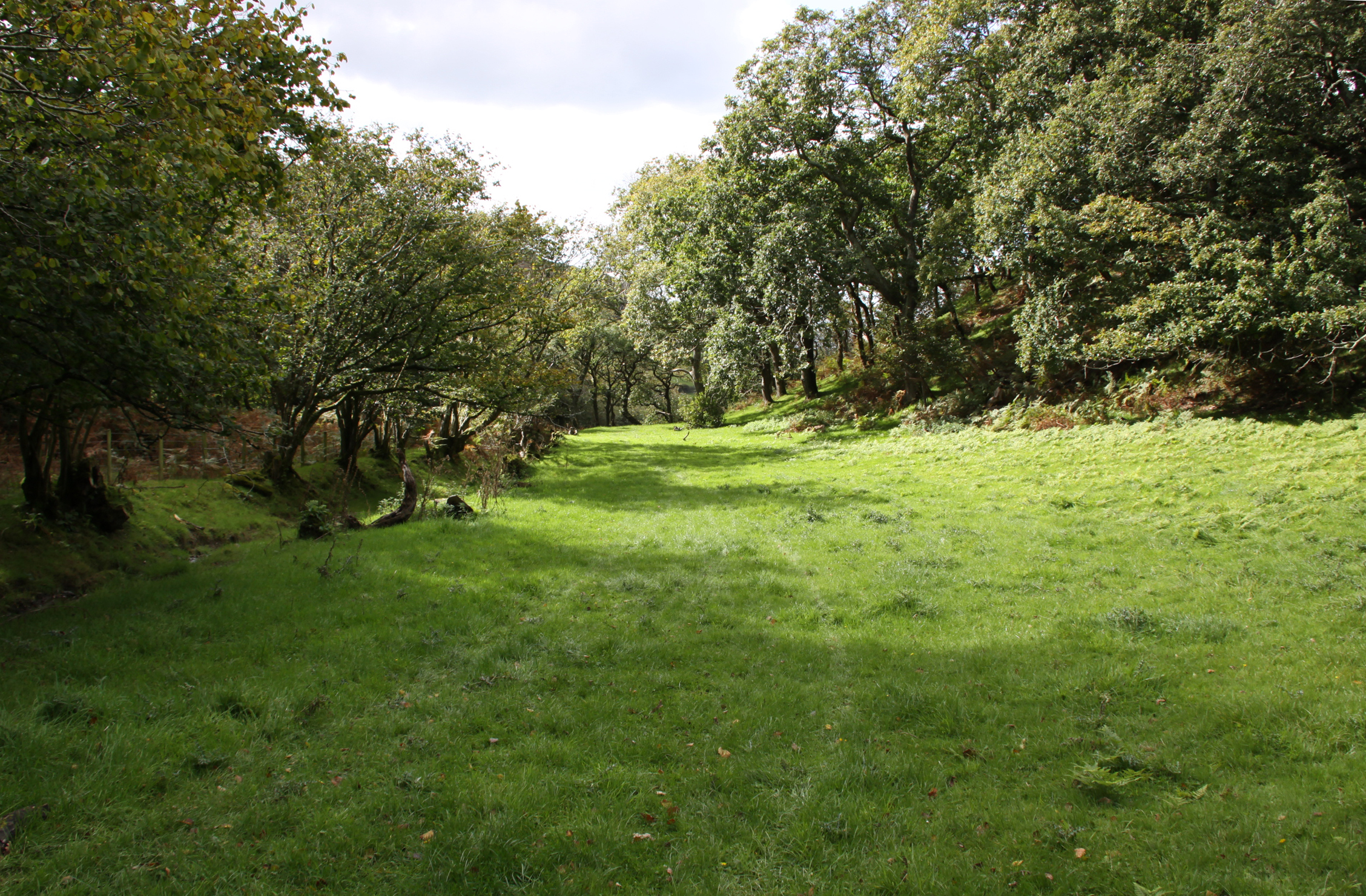
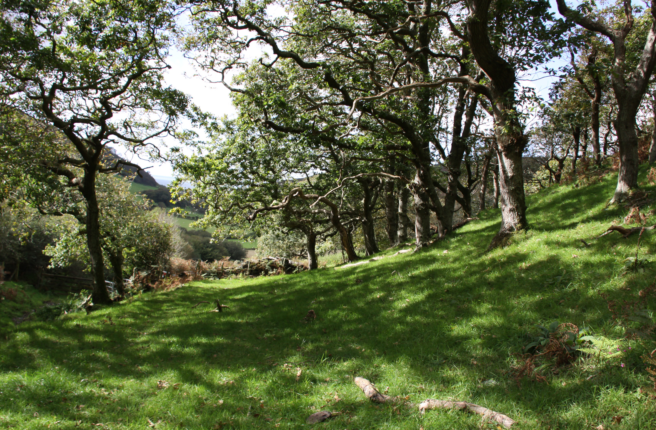
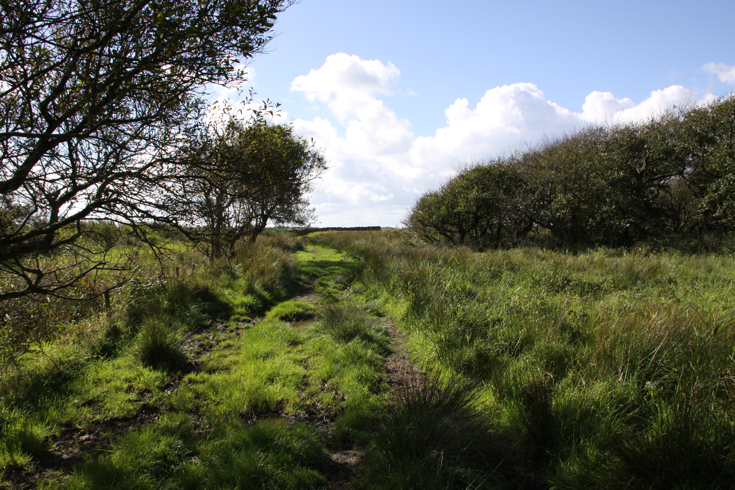
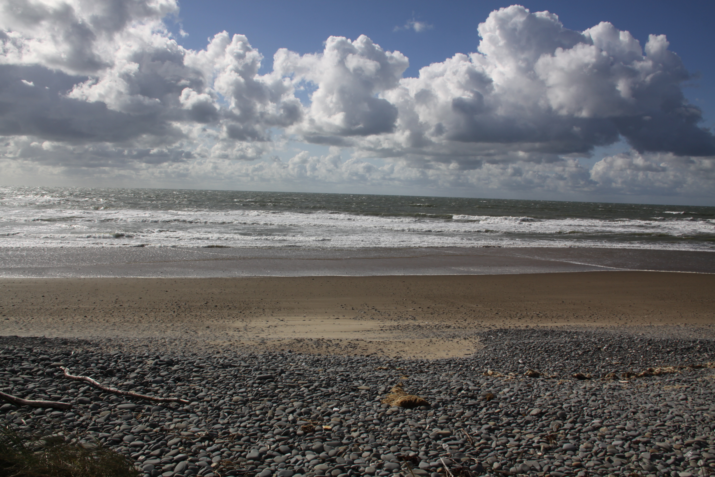
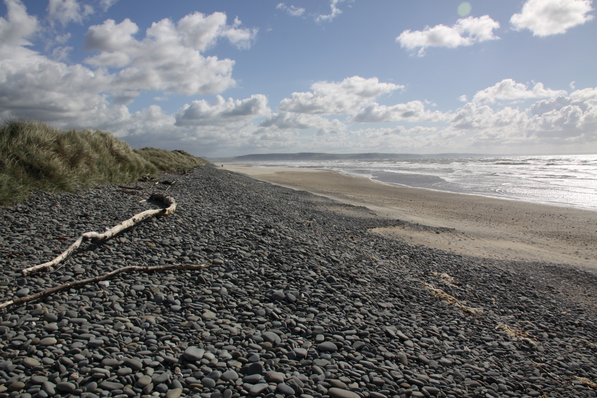
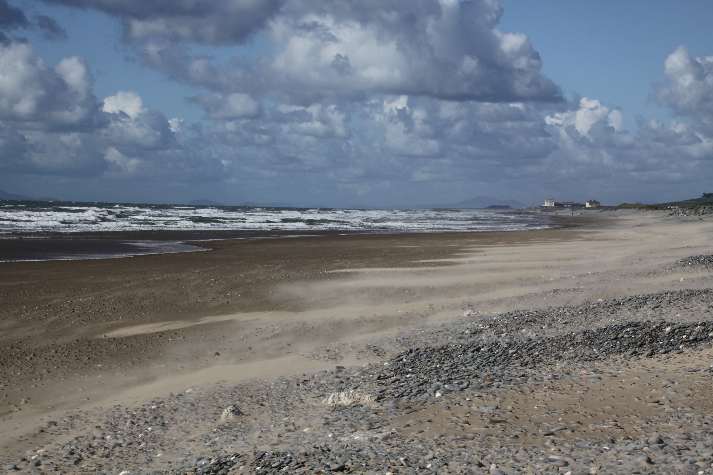
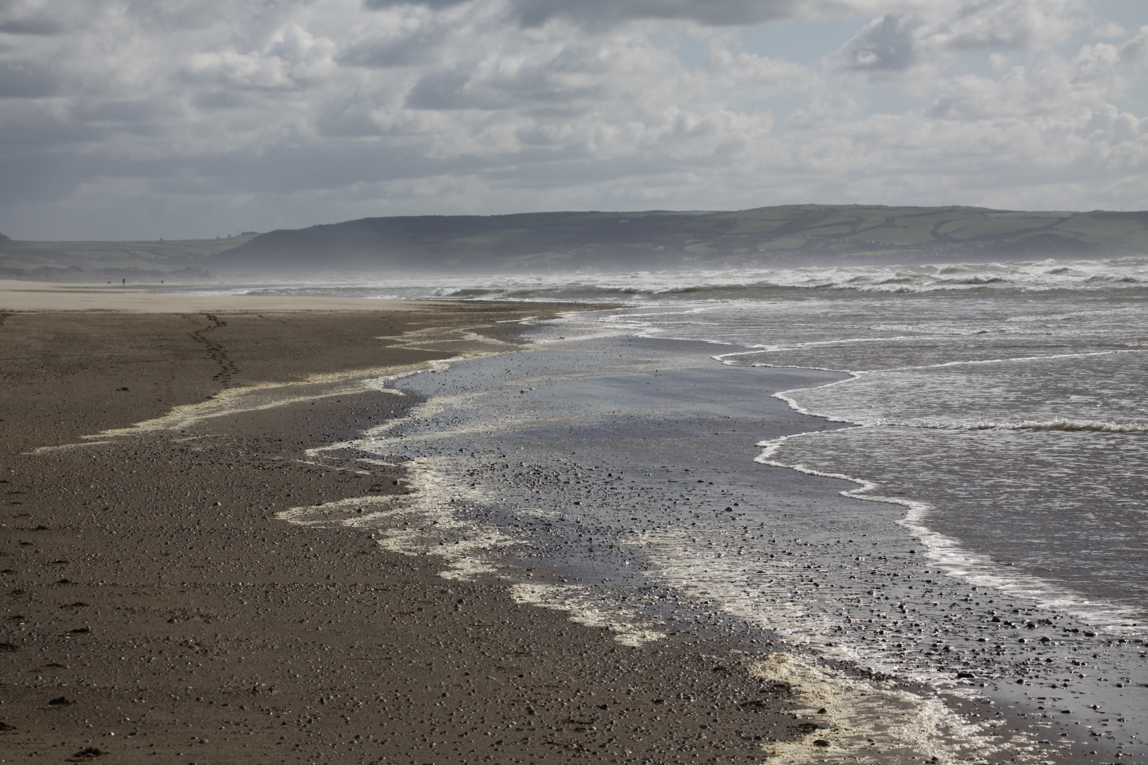
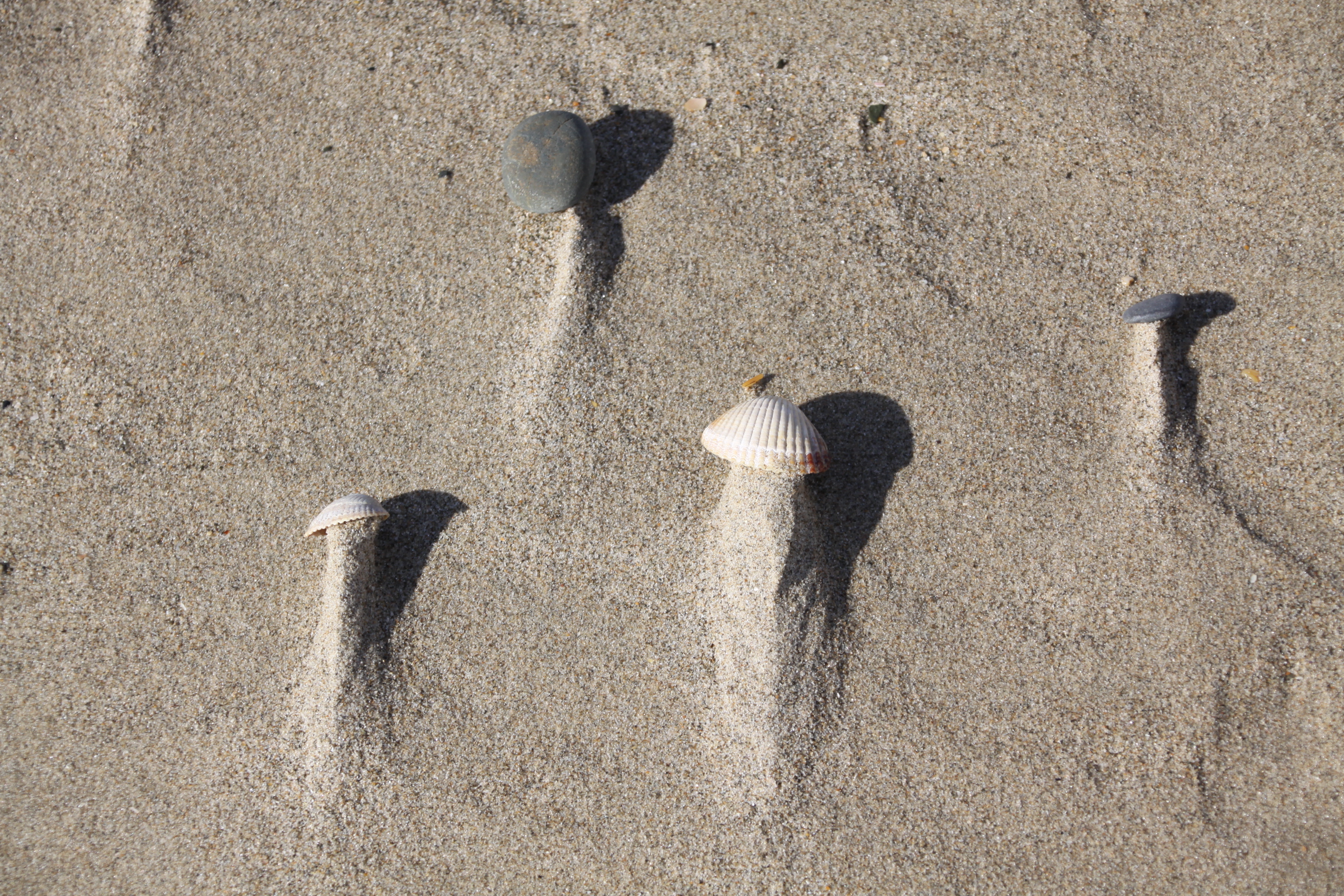
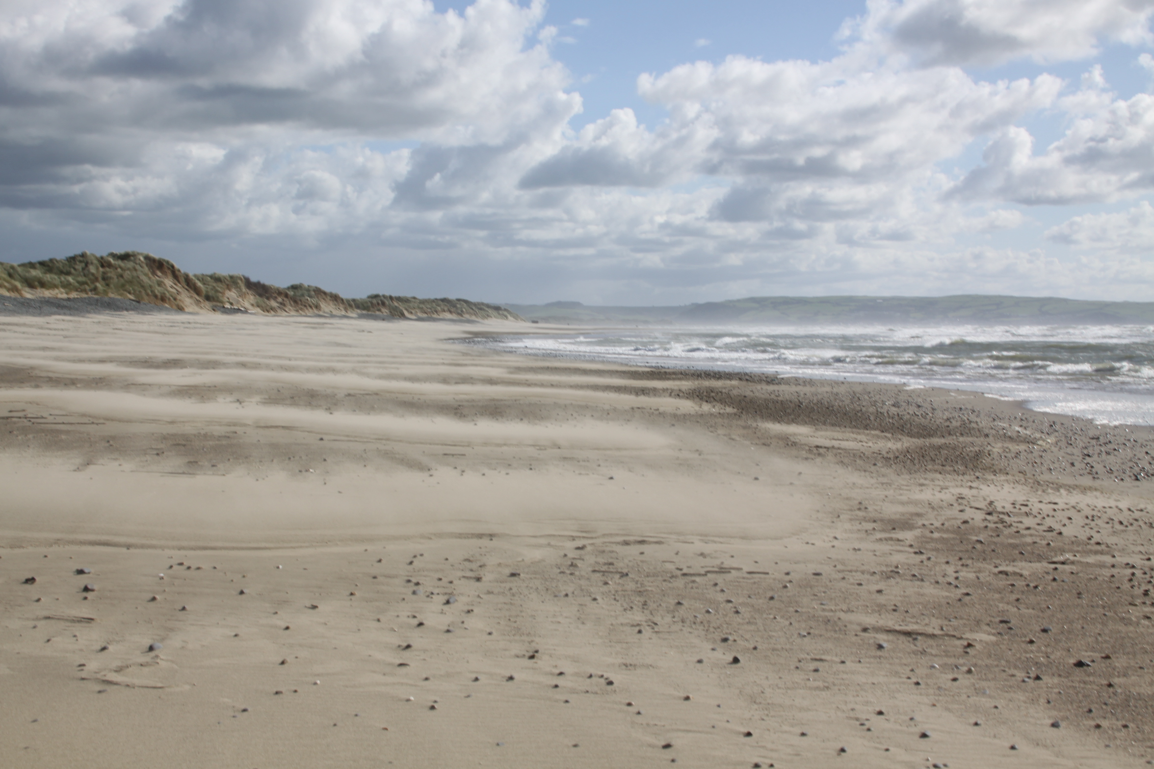
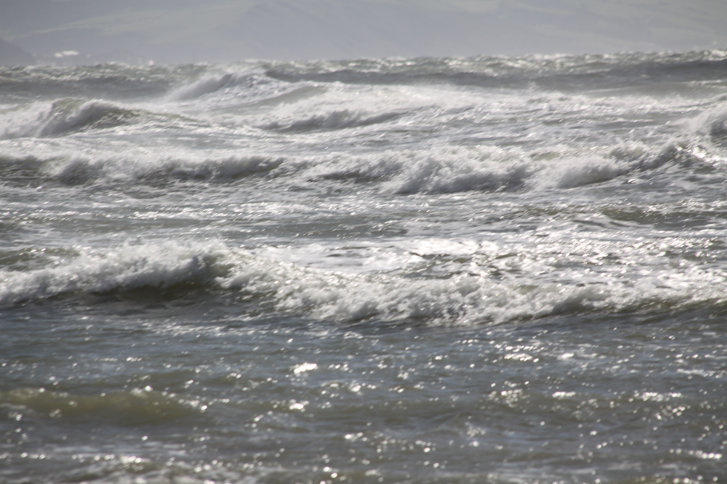
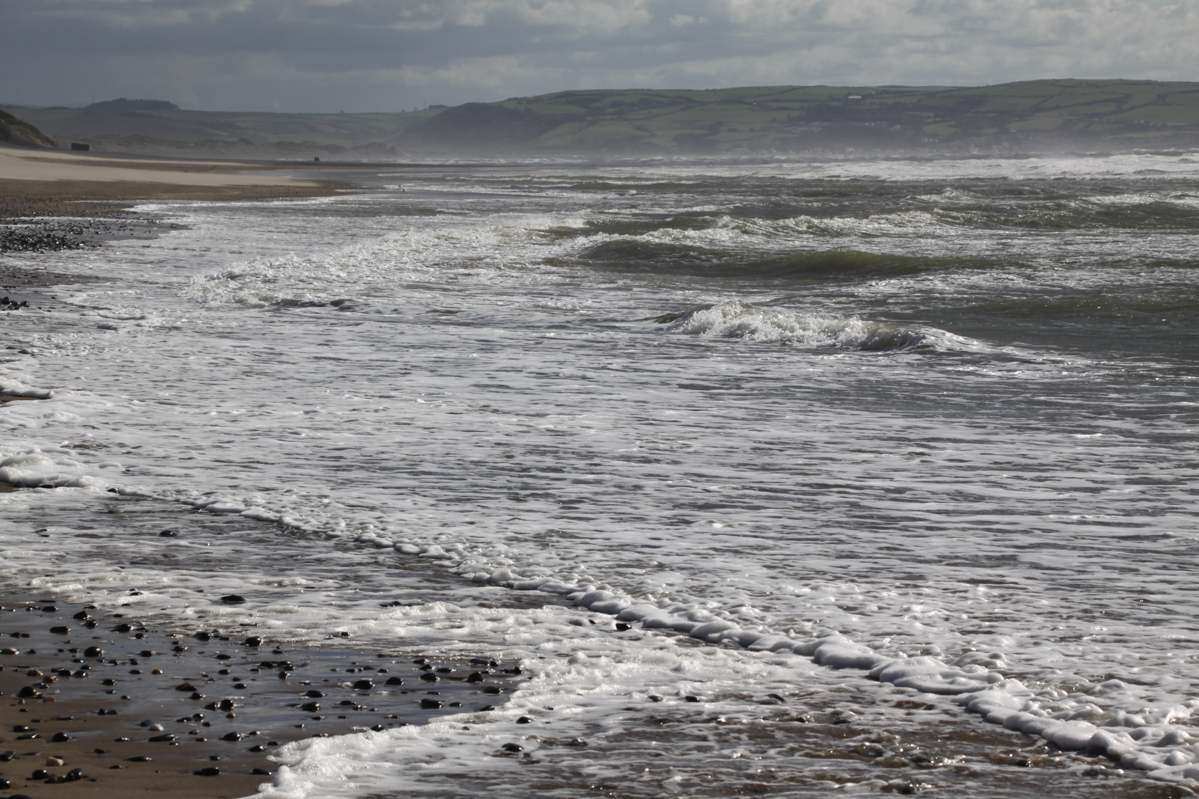
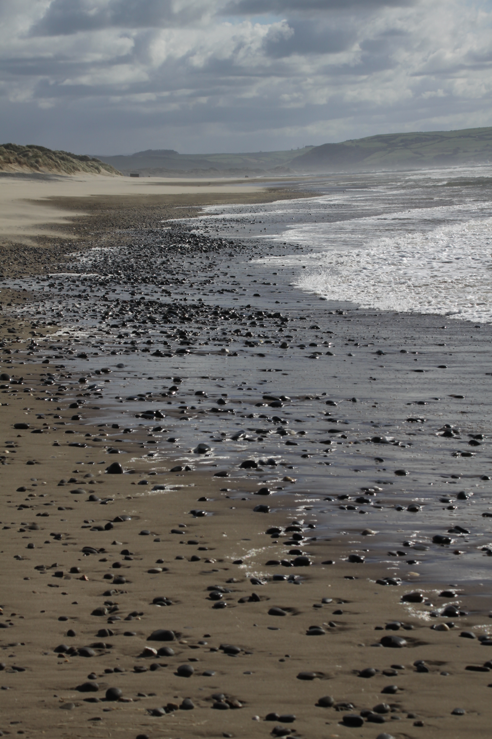
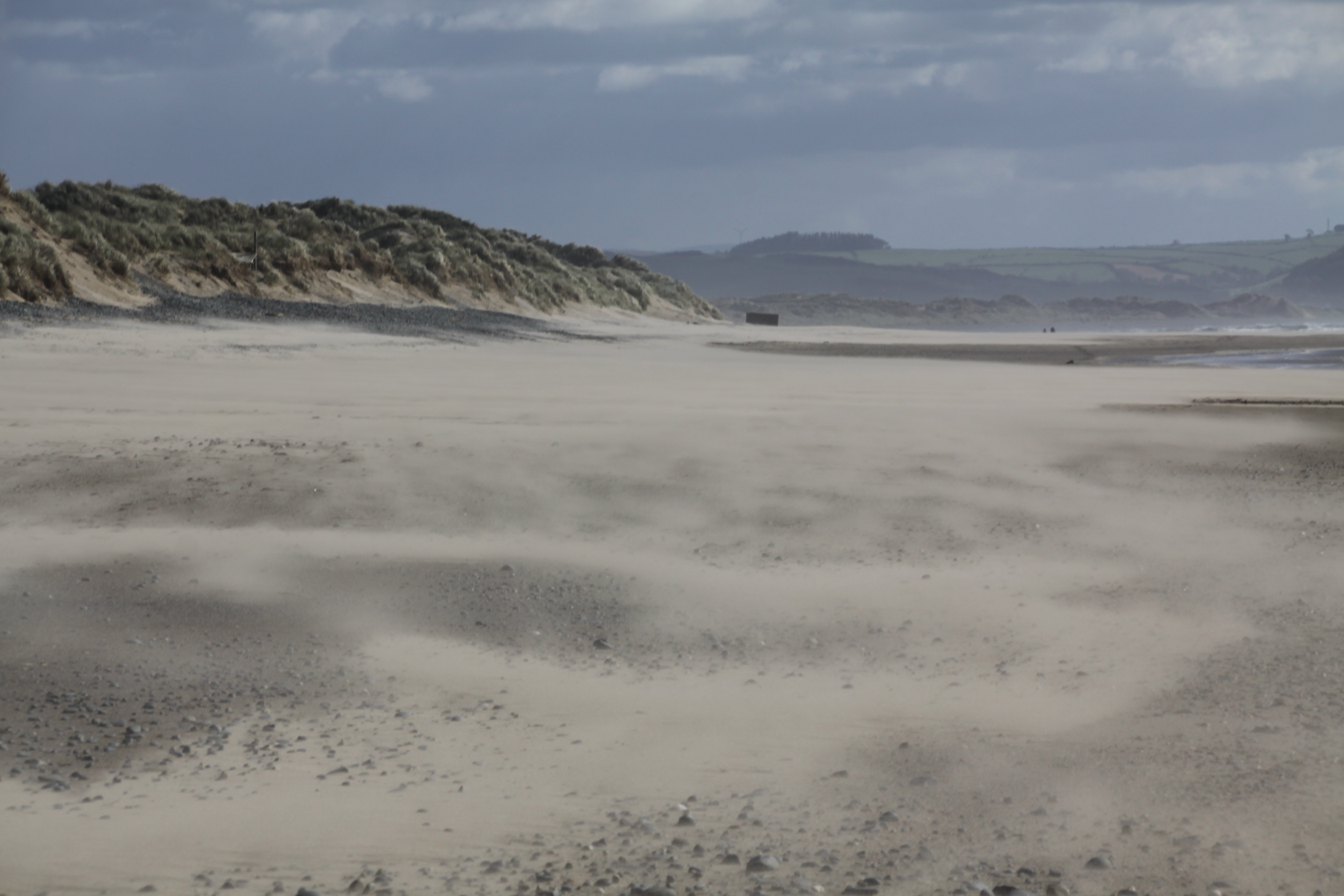
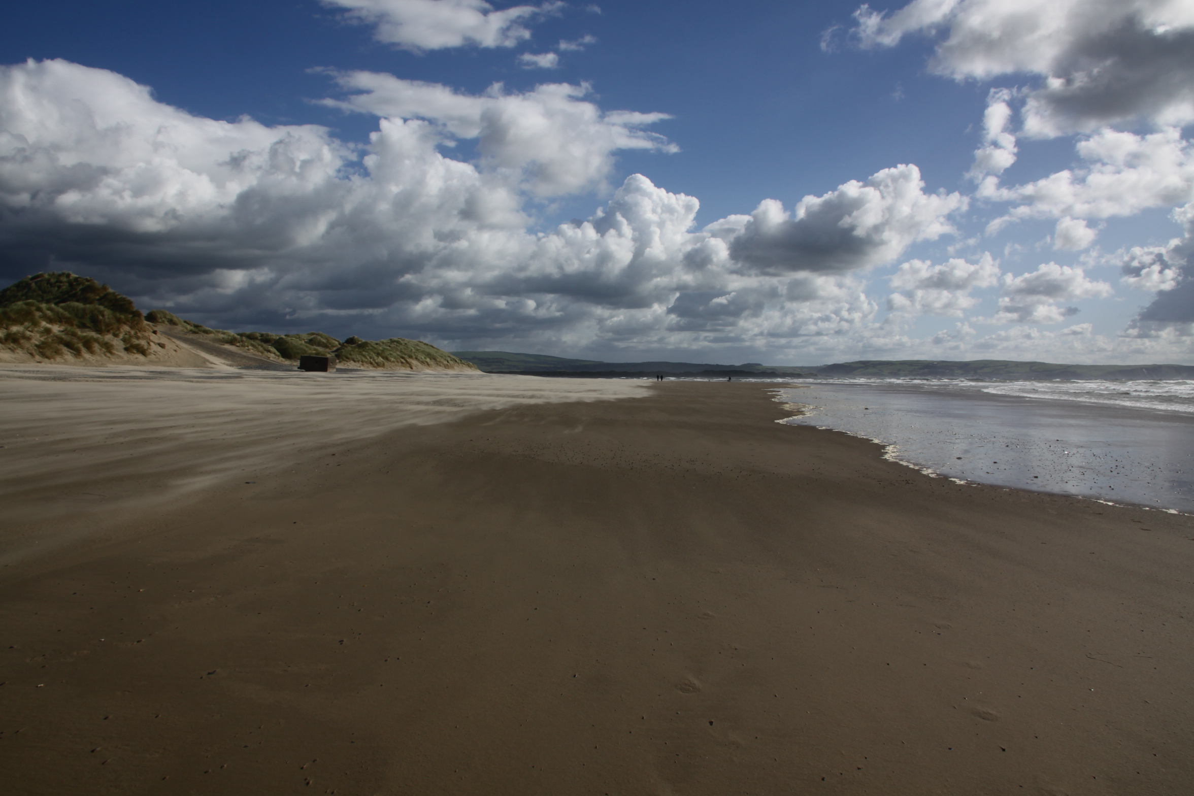
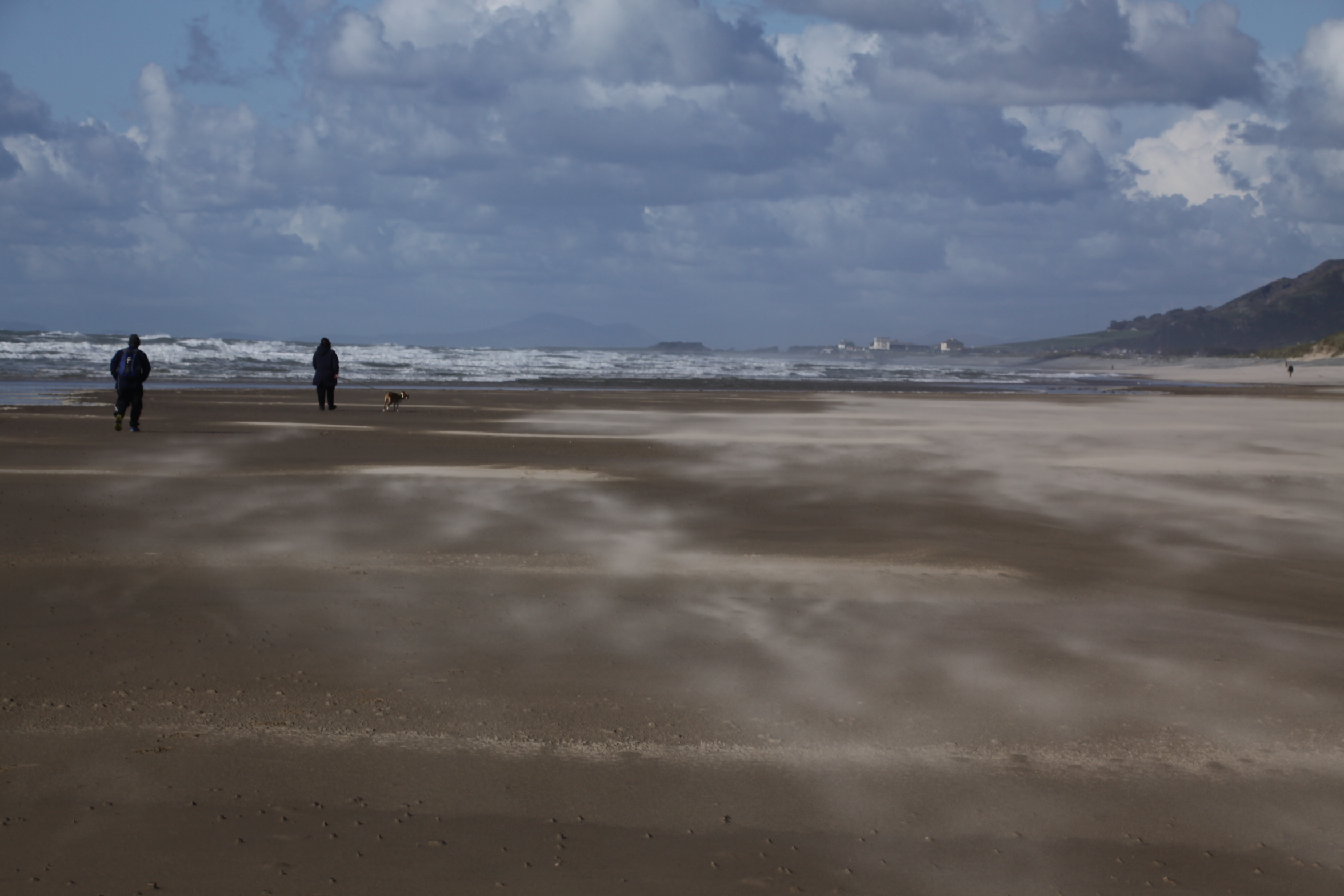
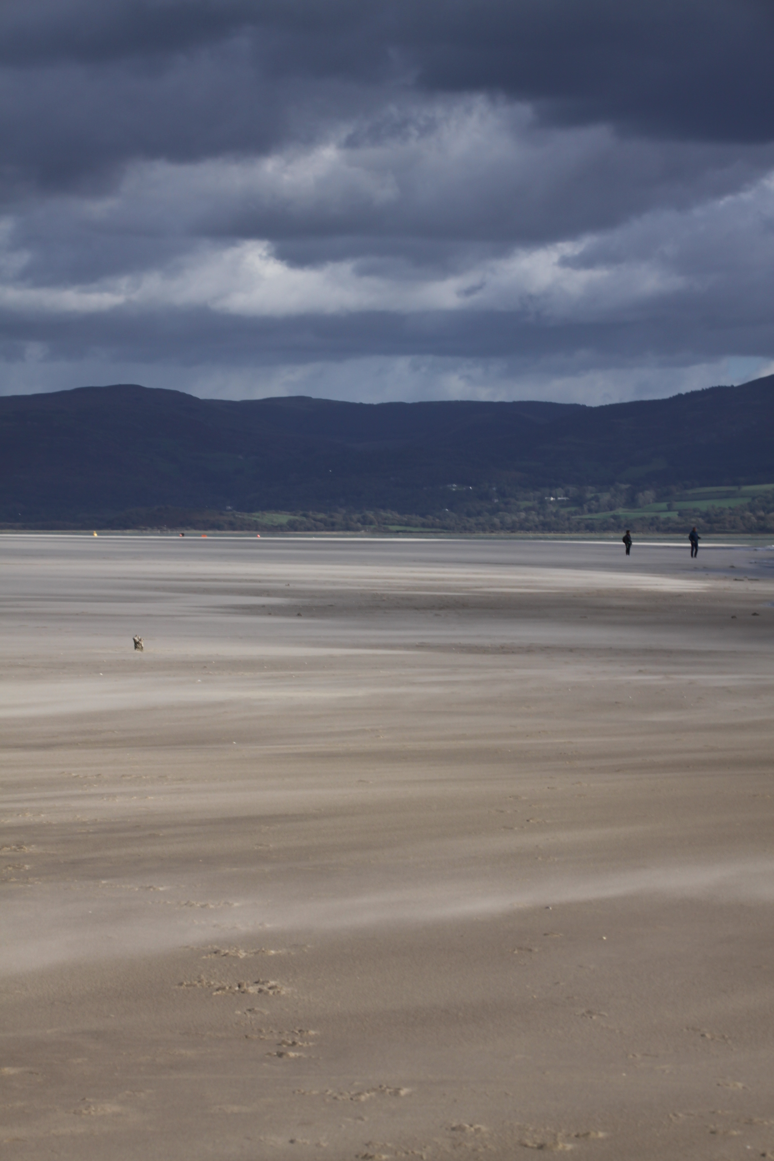
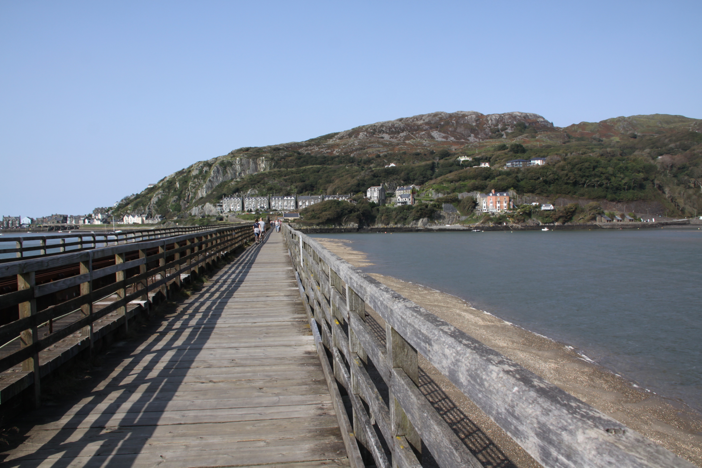
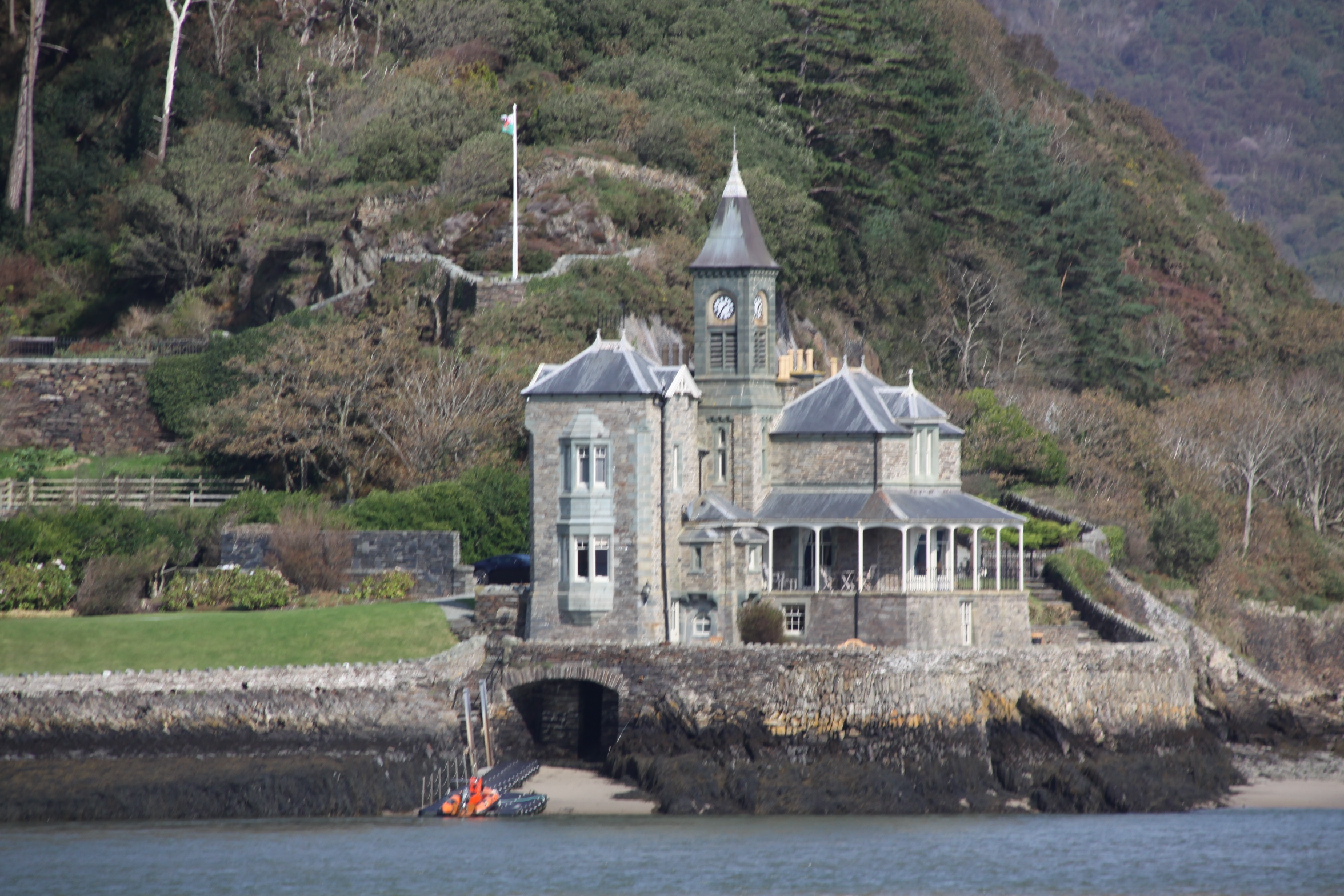
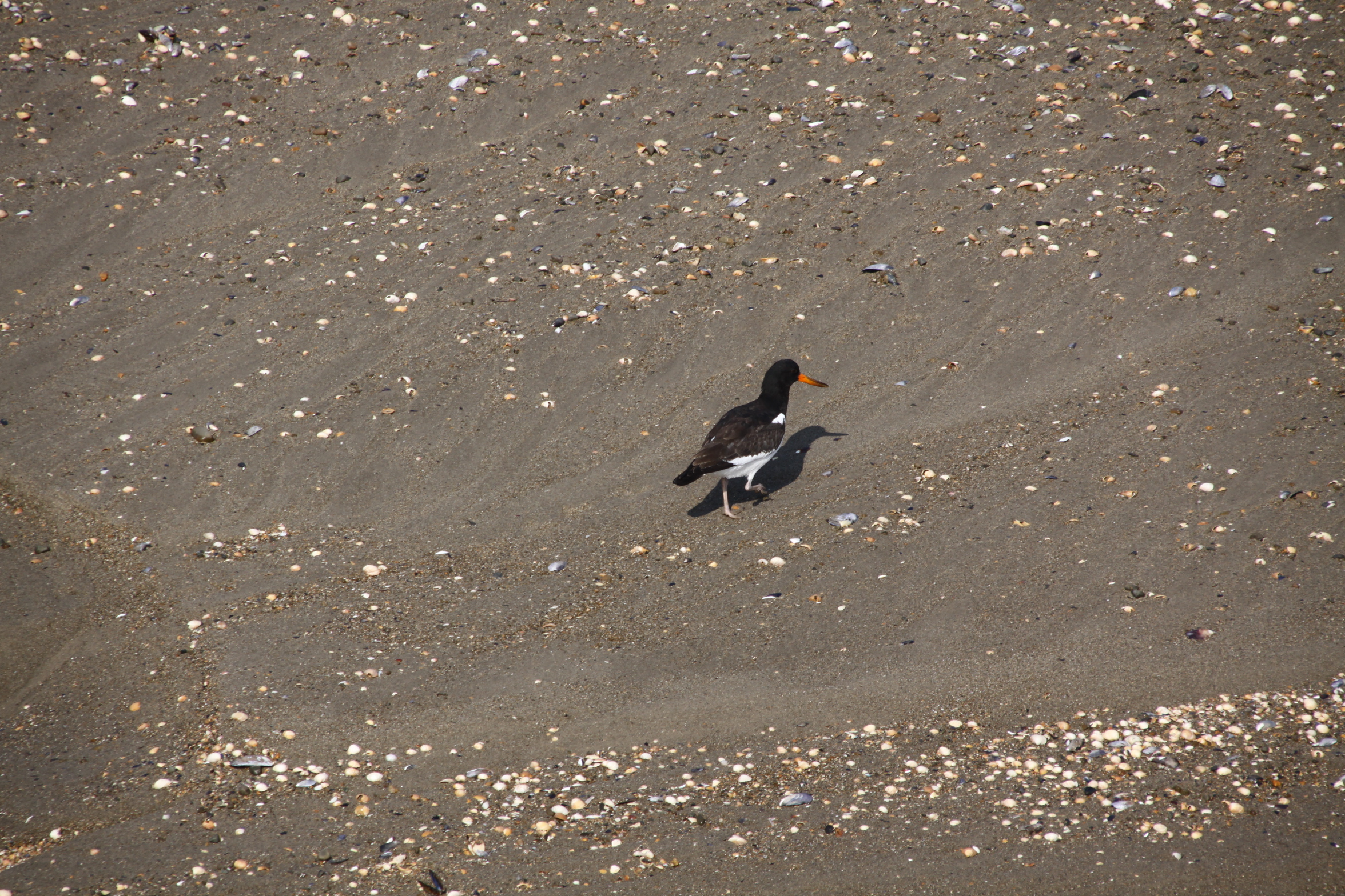
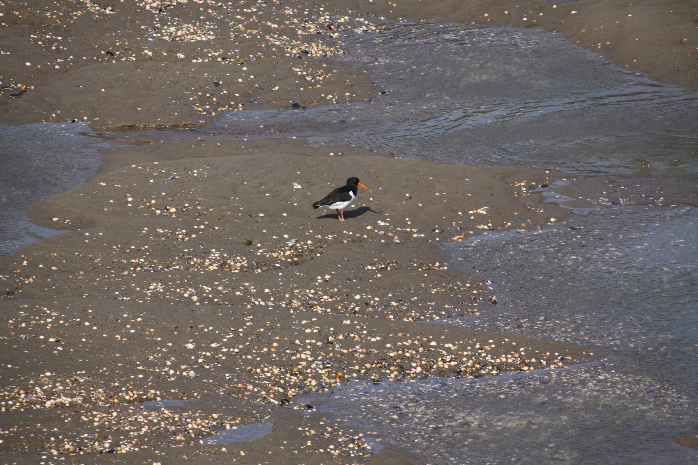
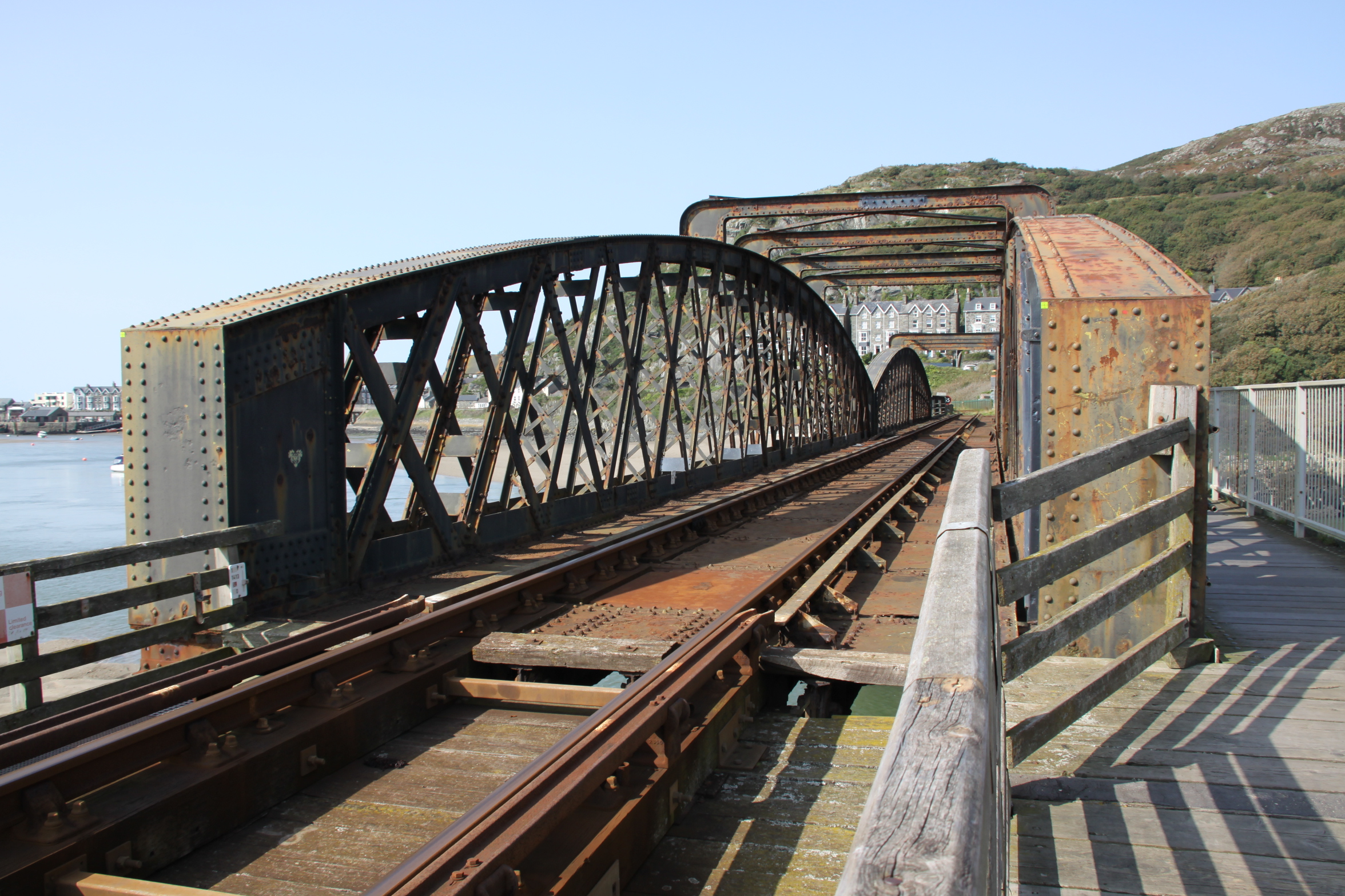
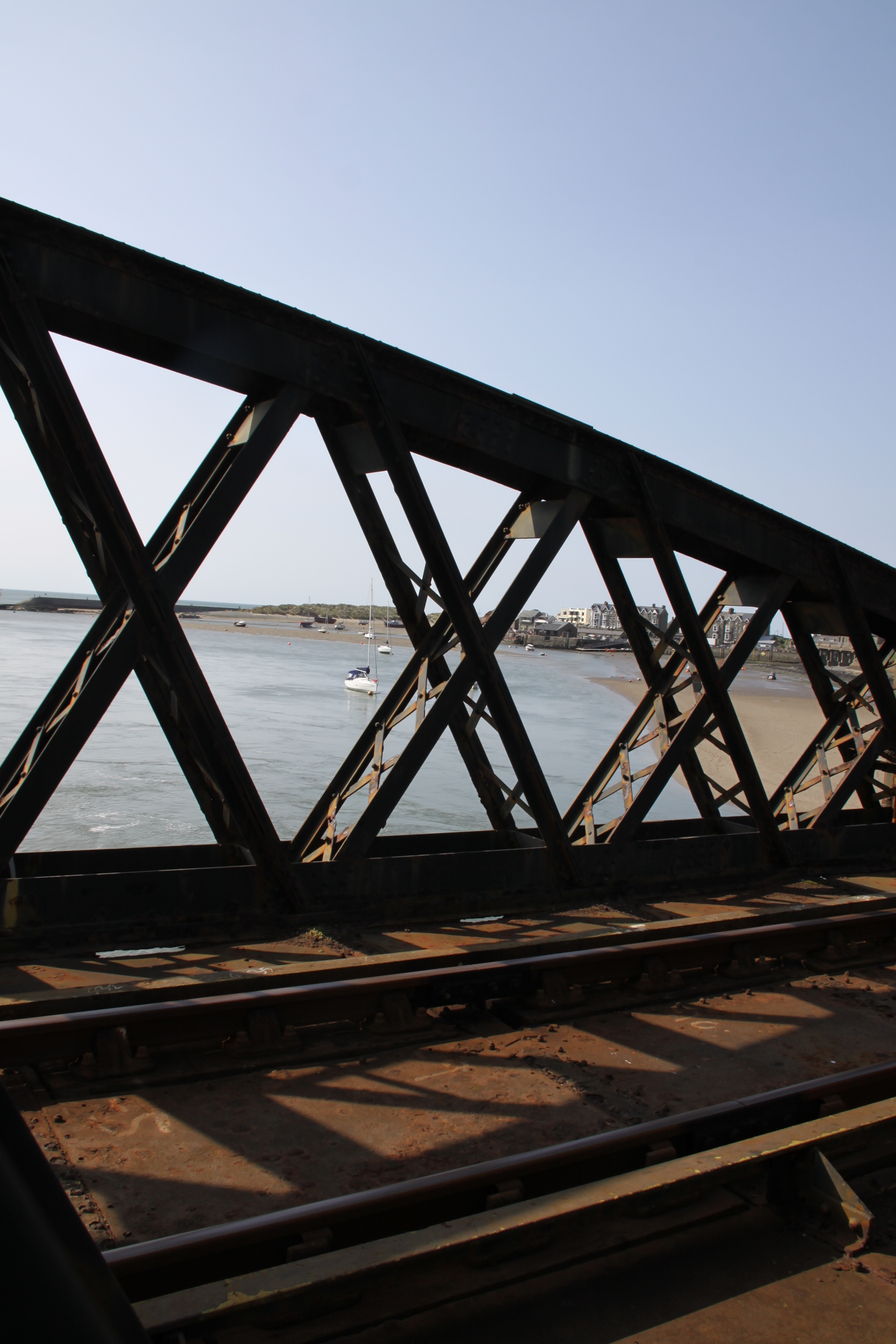
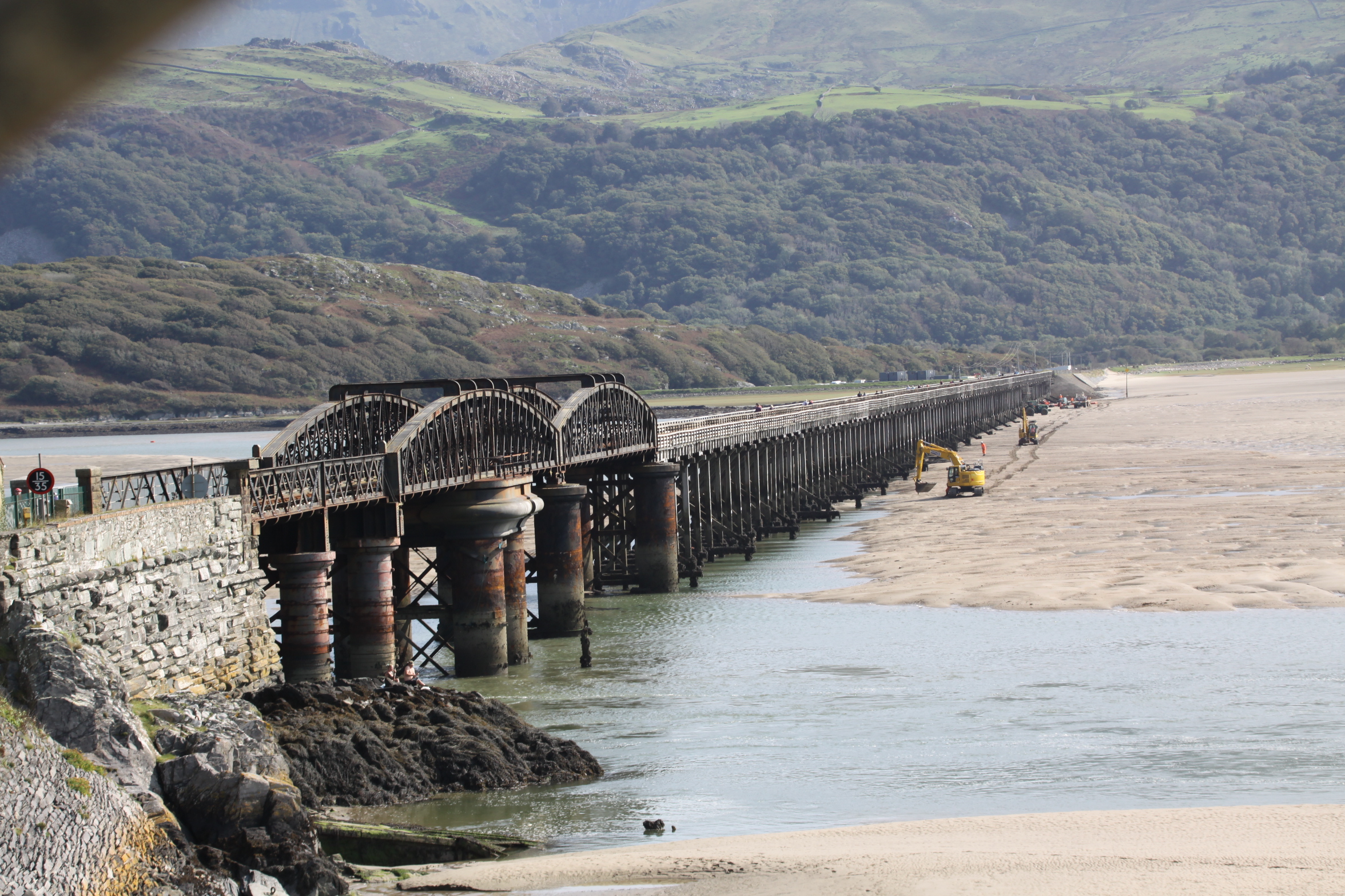
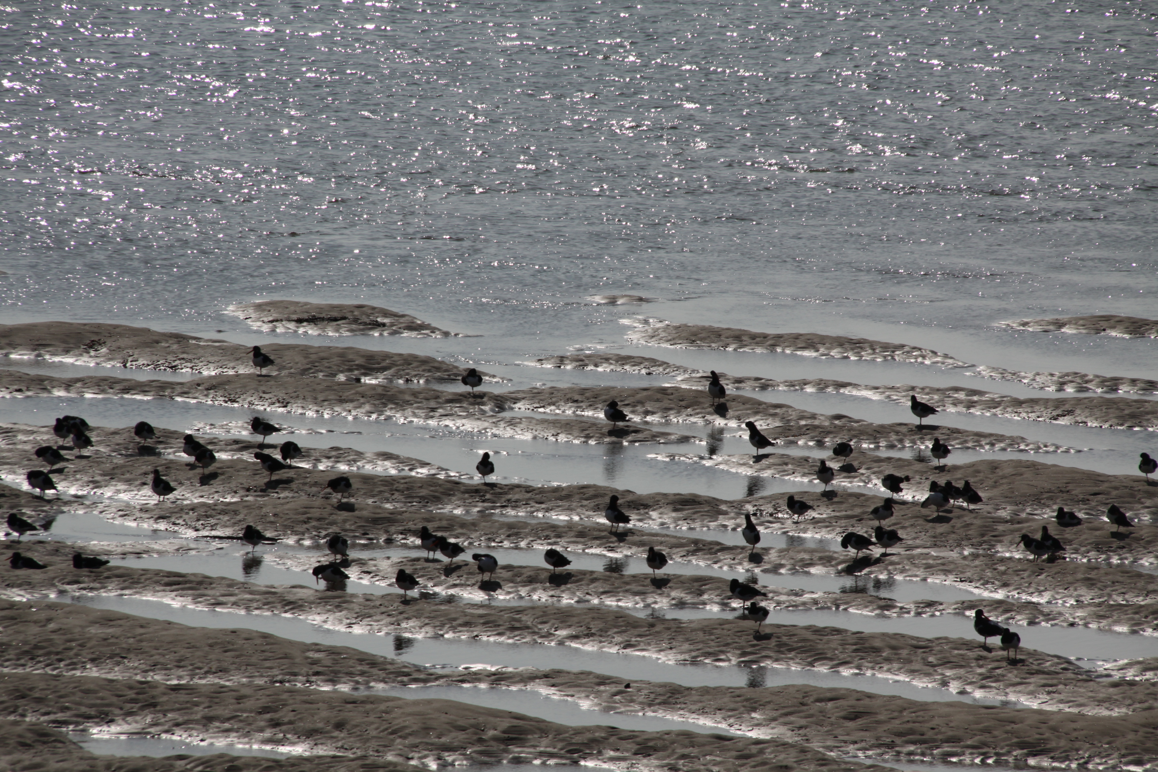
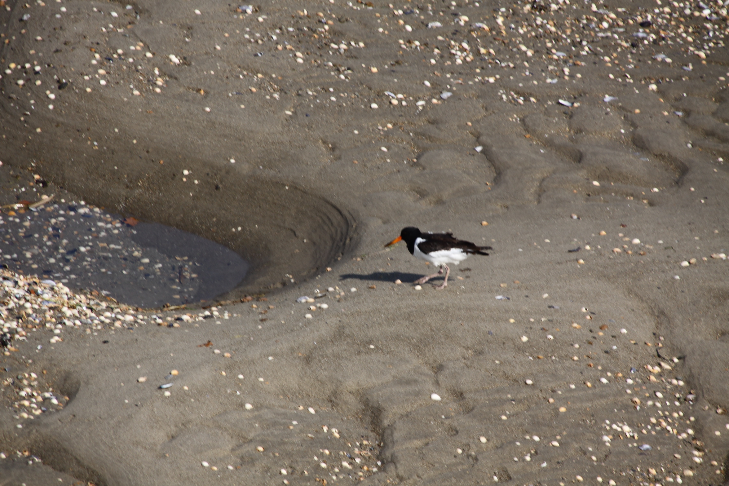
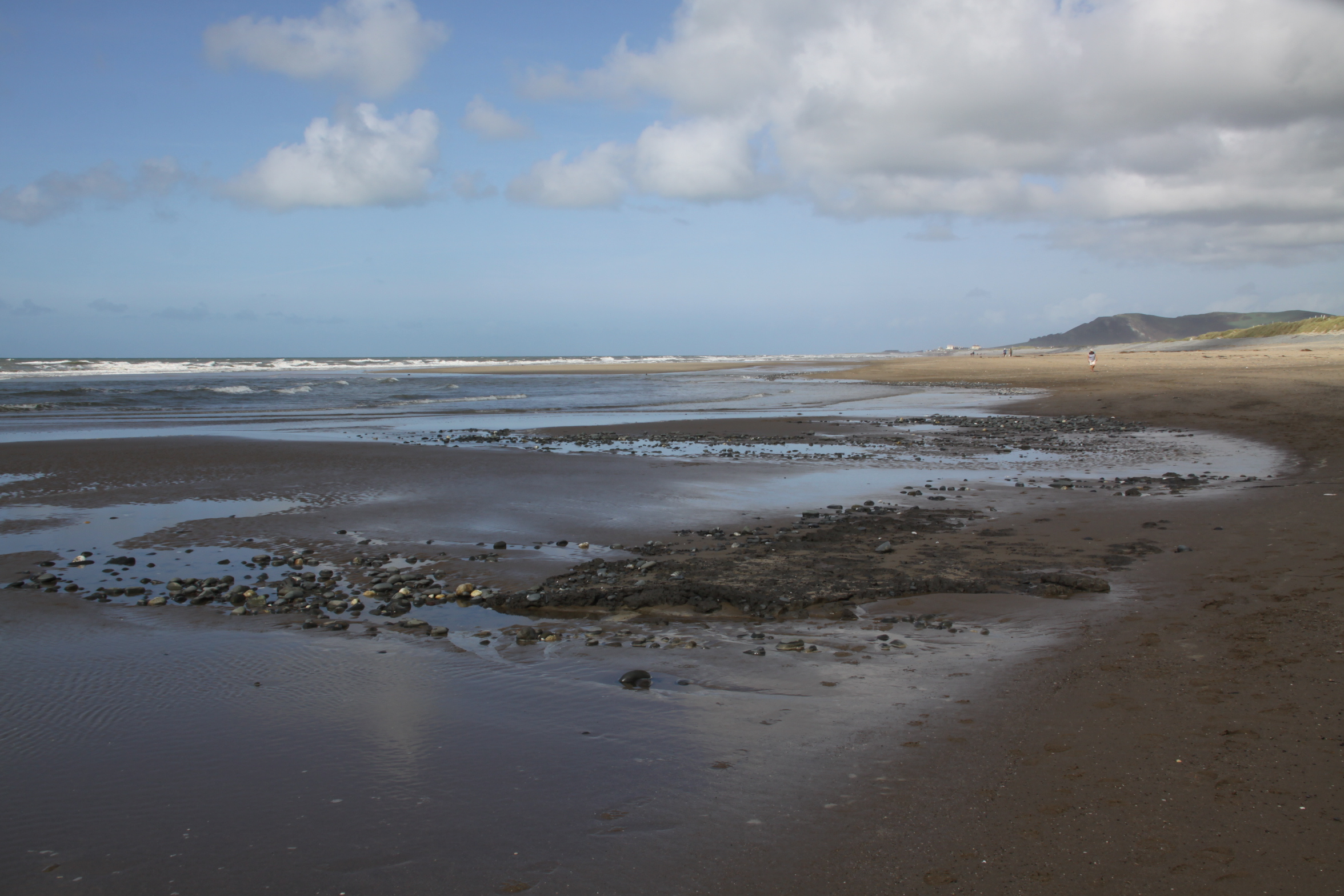
 A nice walk over the hill and down the other side on the 25th September, through the Gywddgwion farm on the footpath, dropping down into a (mostly) dry stream bed that doubles up as a footpath in the summer, to collect some blackberries, emerging at Dyffryn Glyn Cul farm. We strolled down the single track lane to the coast road, crossed over and headed towards the dunes, and from there down on to the beach. This is my favourite bunch of beach photos to date. There were a couple of nice days after this, but it was the last of my walking for the time being, as I had to get down to some work. Adding the photos to this post rather belatedly on October 4th, the difference between those divine last days of September and the onset of October wind and rain is truly amazing.
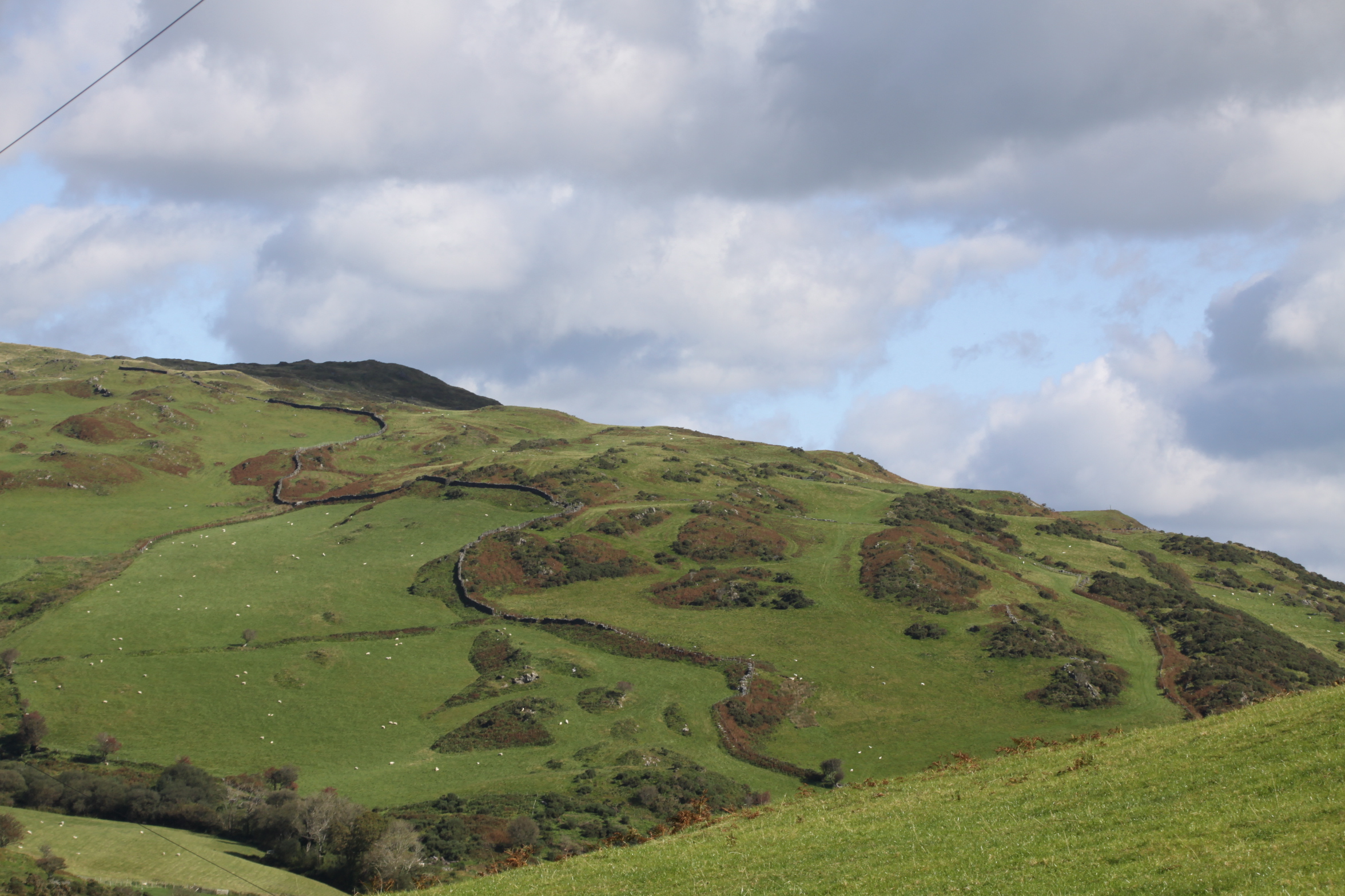


