
 This is the third Iron Age hillfort in my series about hillforts south of the Mawddach estuary and north of the Dyfi estuary. Out of a total of nine, which includes an outlier in Machynlleth, I am visiting all those in the immediate area that are accessible via public footpaths, and Castell Mawr is one of those.
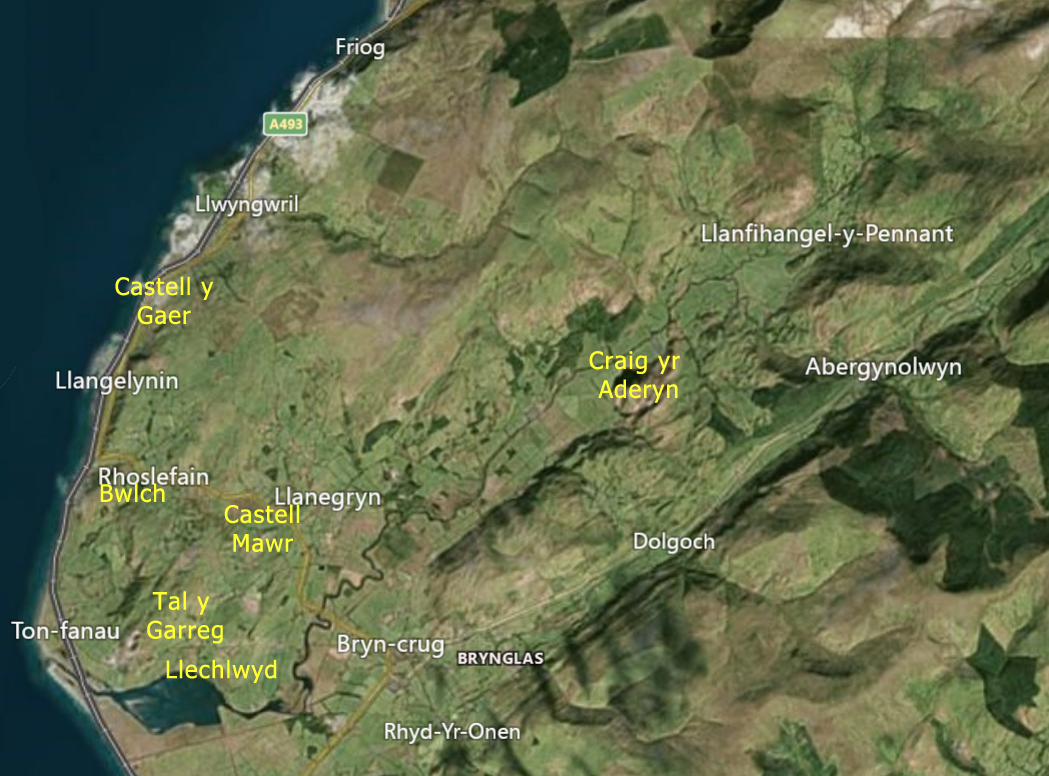
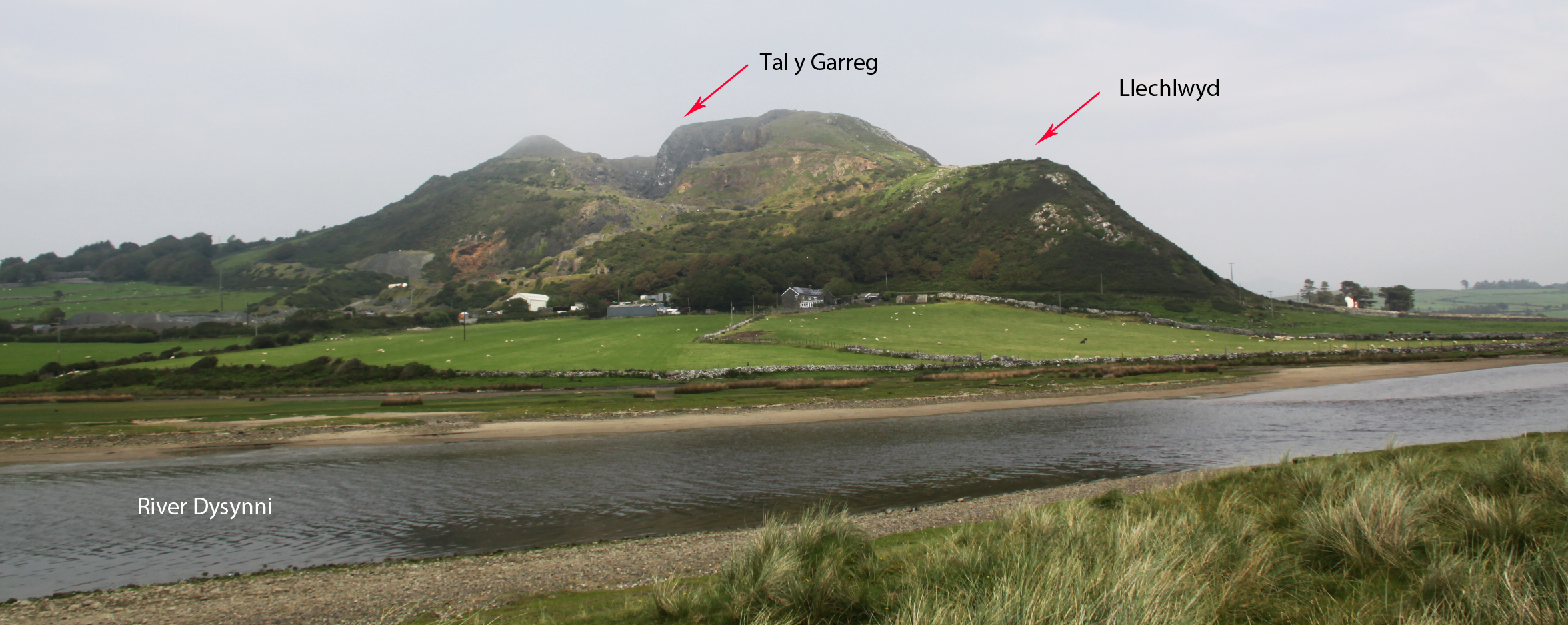
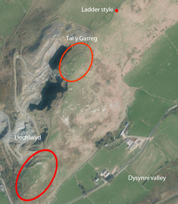
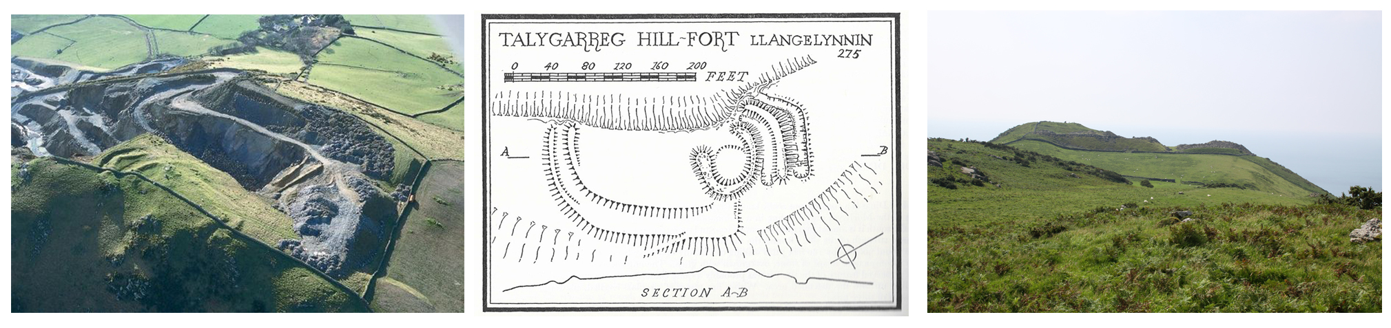
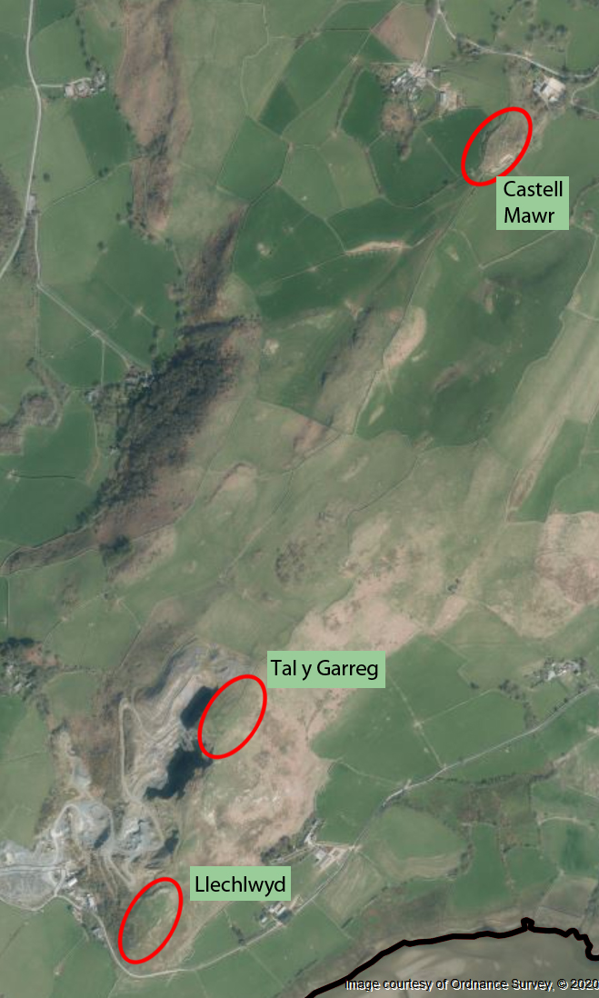
Castell Mawr (translating roughly as big castle) lies on the far northeastern end of a ridge along the top of Mynydd Garreg. The nearest village is Llanegryn. At the opposite end of the ridge are two hillforts about which I have posted previously, Tal y Garreg and its lower neighbour the promontory fort Llechlwyd, both of which are a mere 1.5km away from Castell Mawr. None of the three hillforts have been excavated but structurally and topographically, each is very different in character.
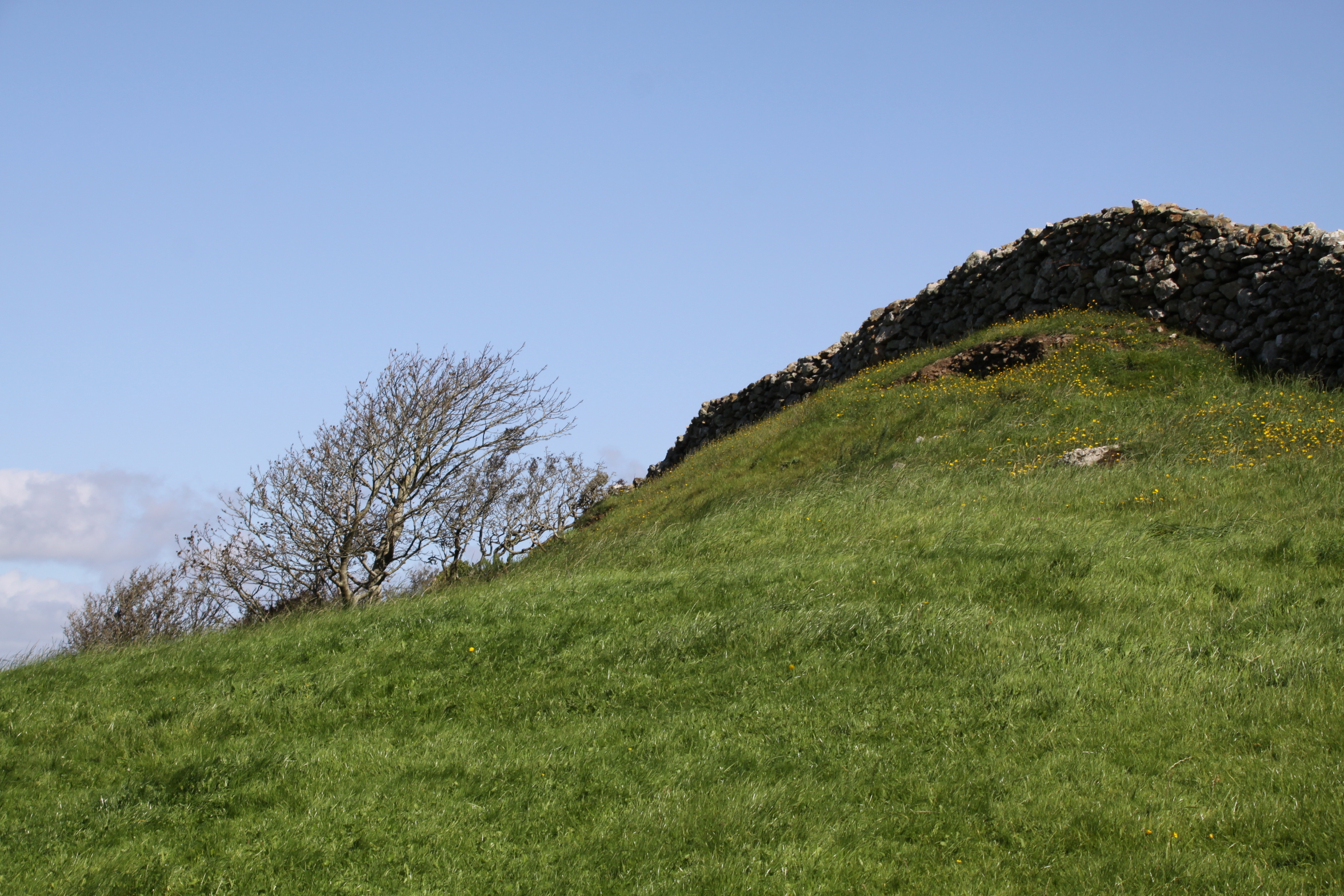
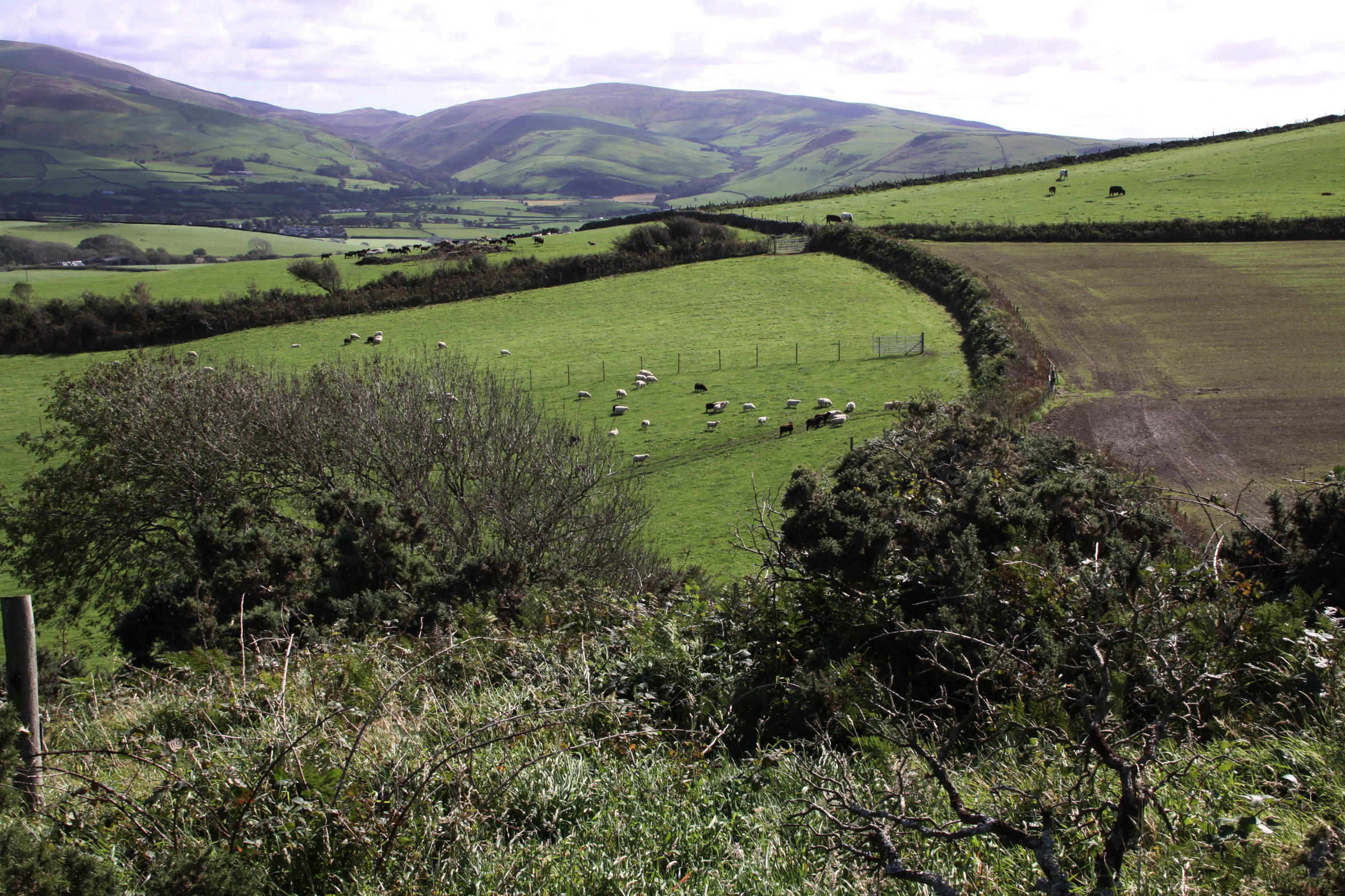
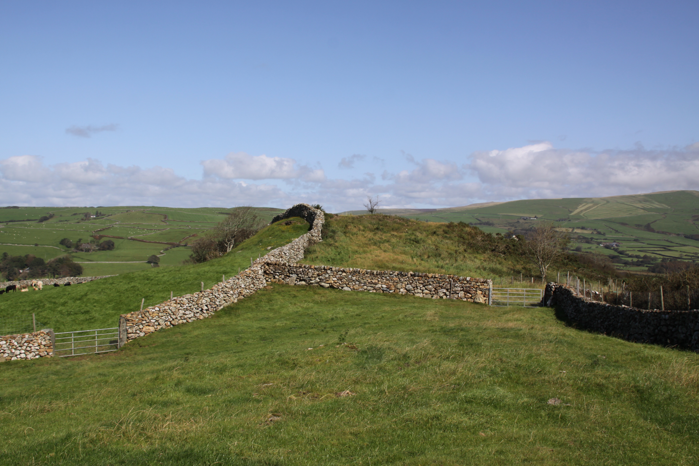
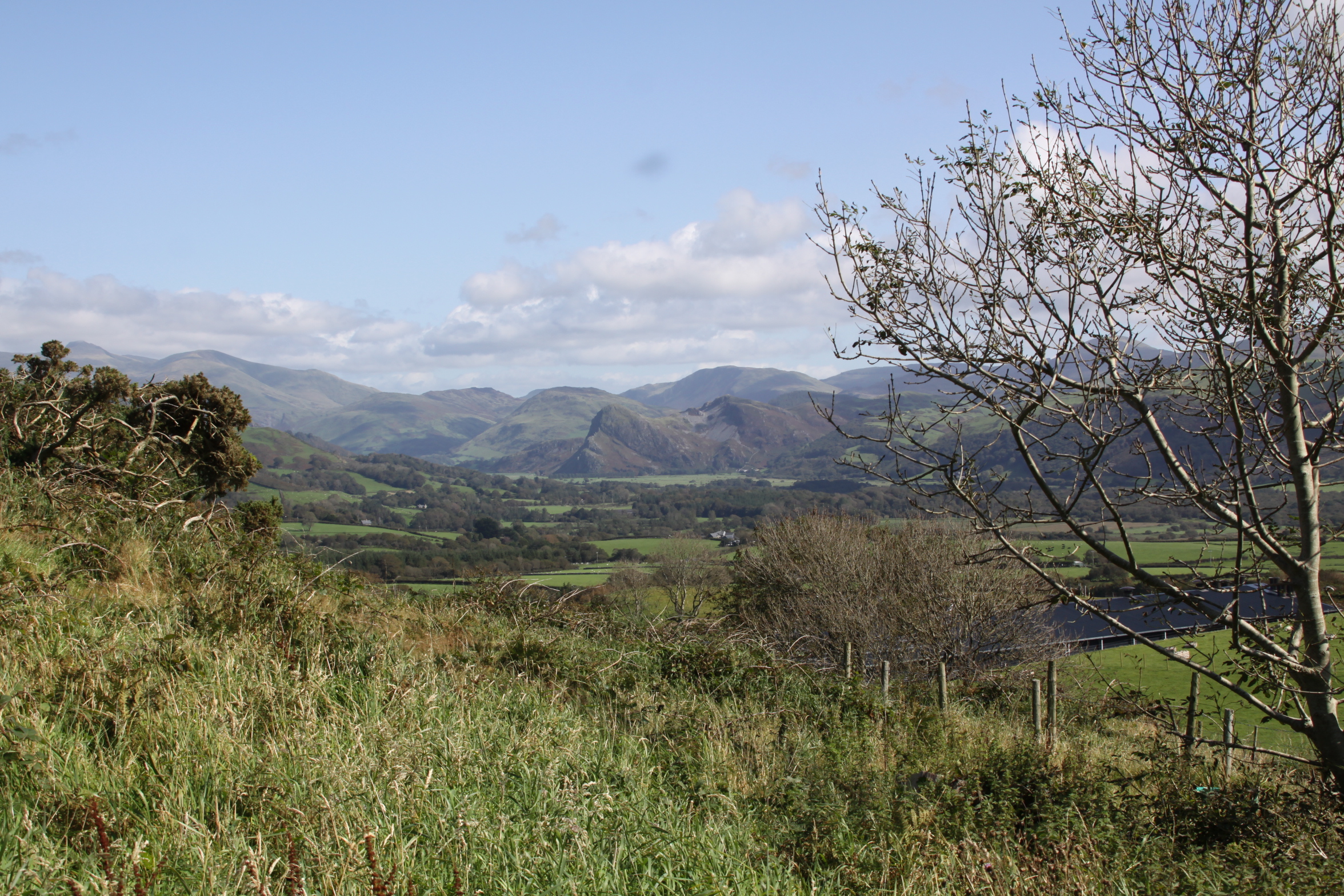
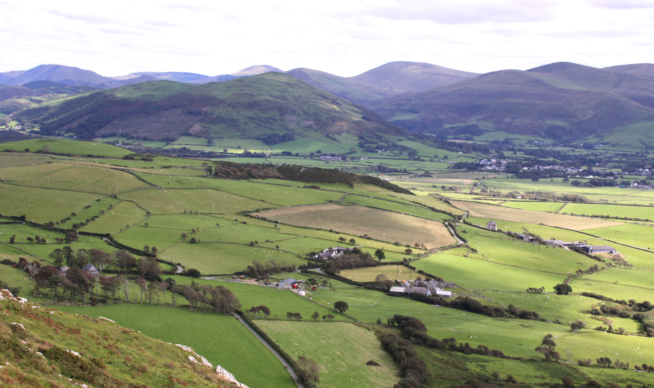
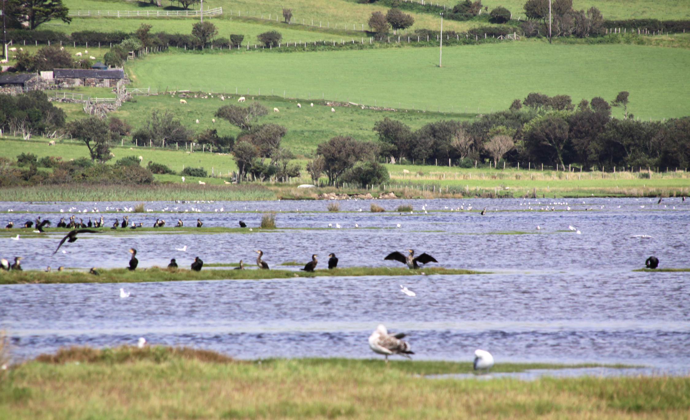
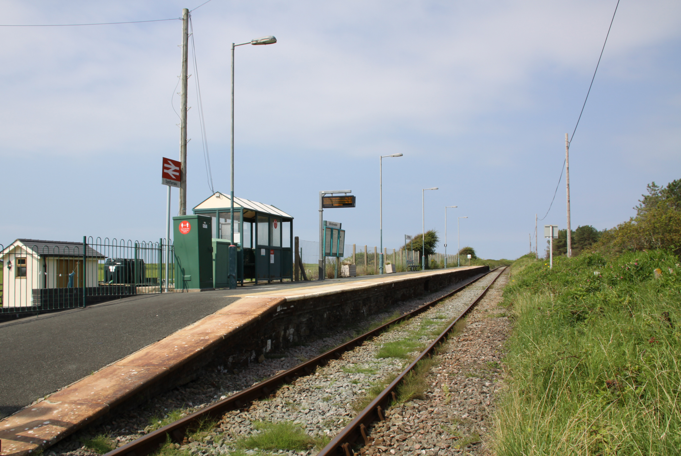
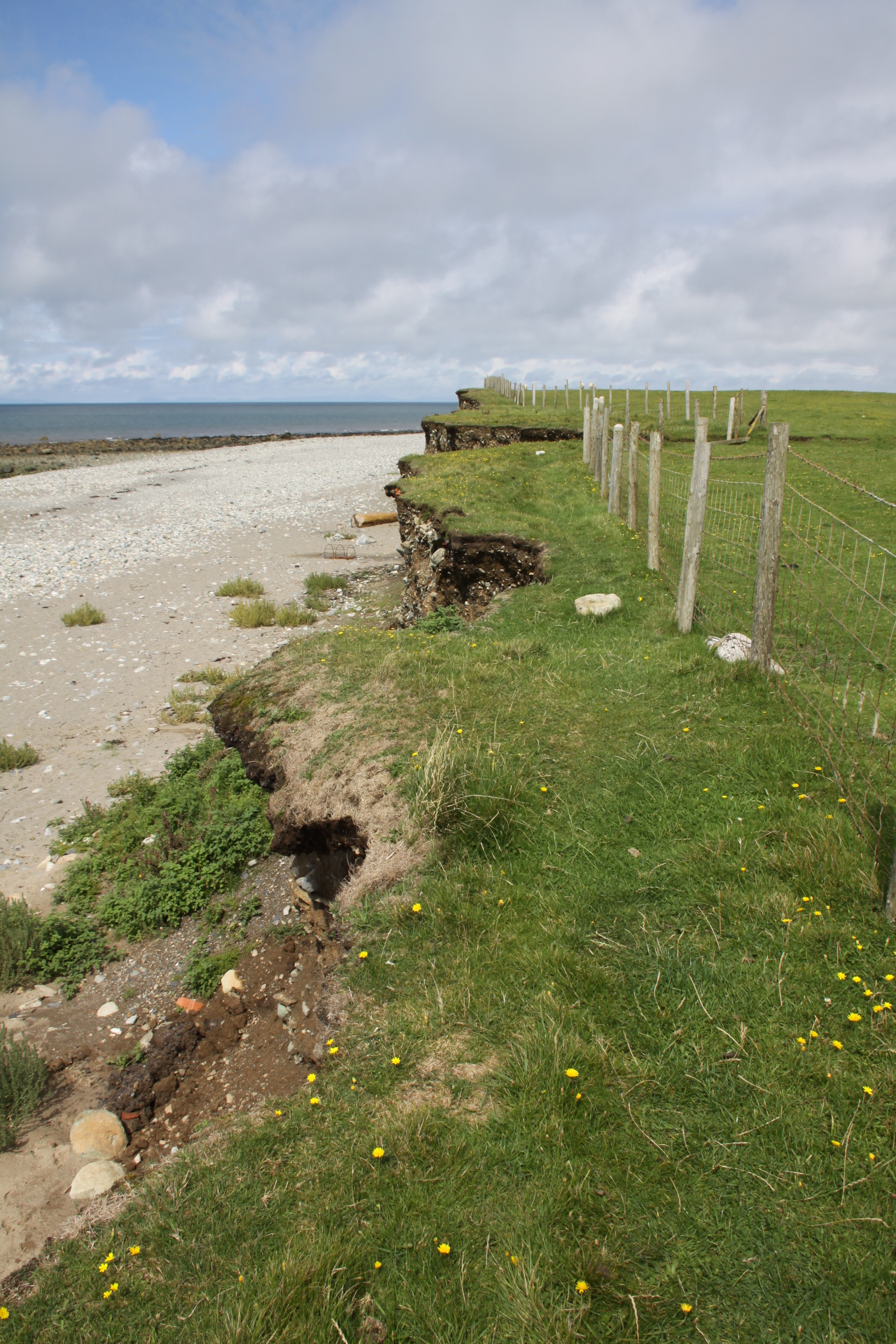
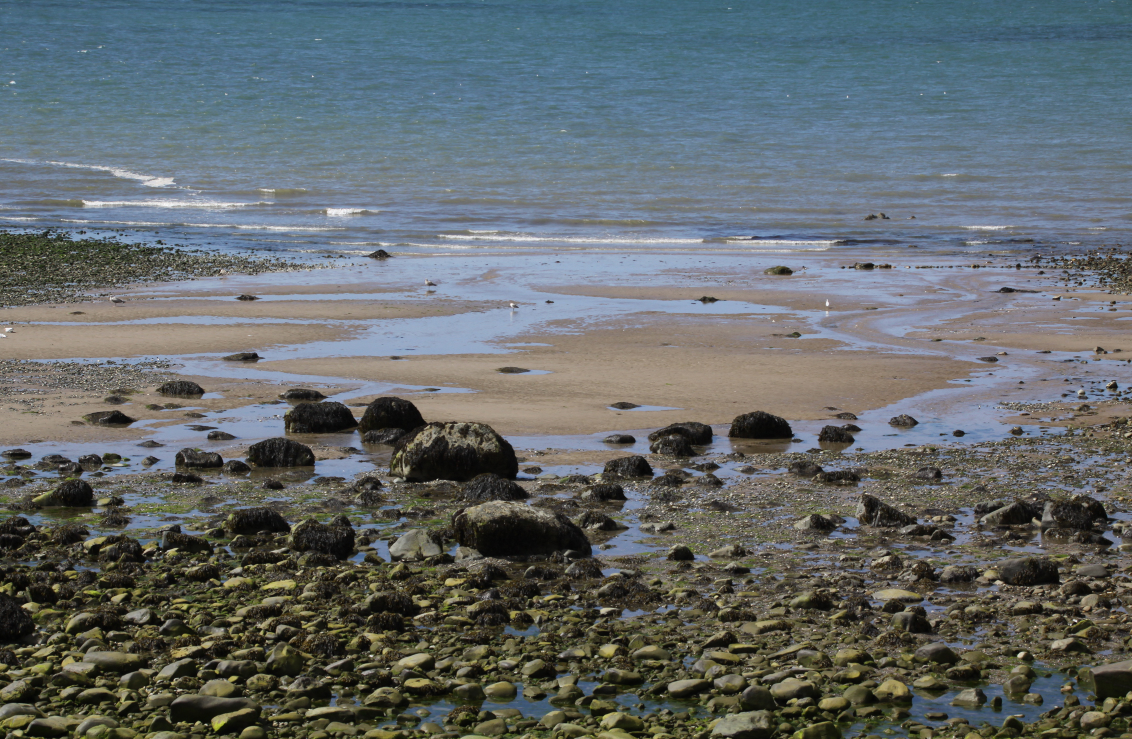
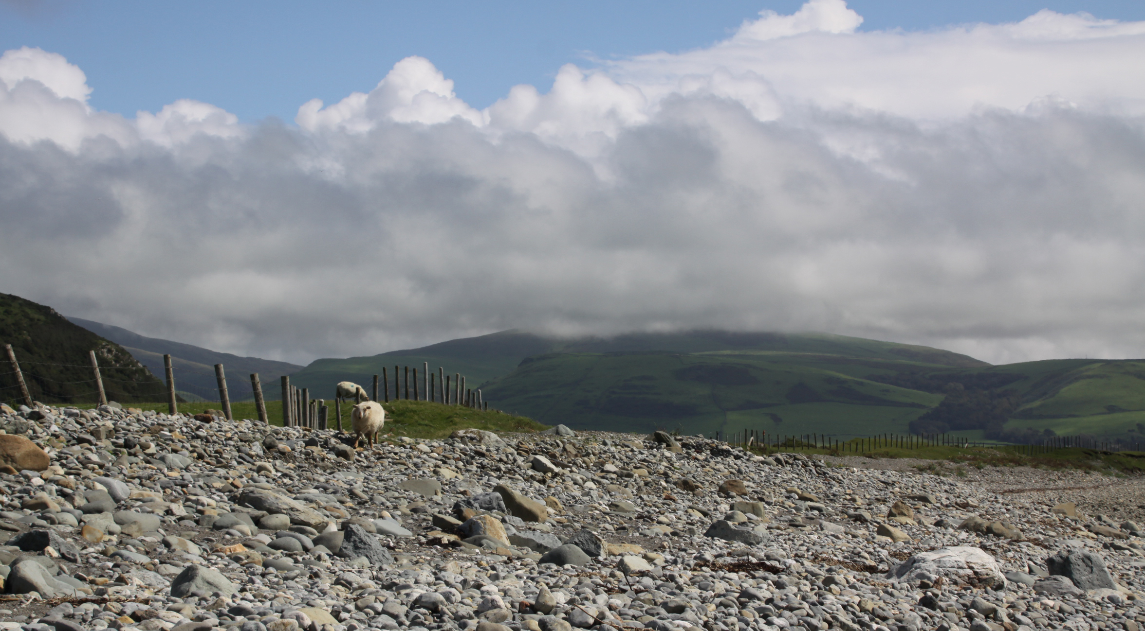
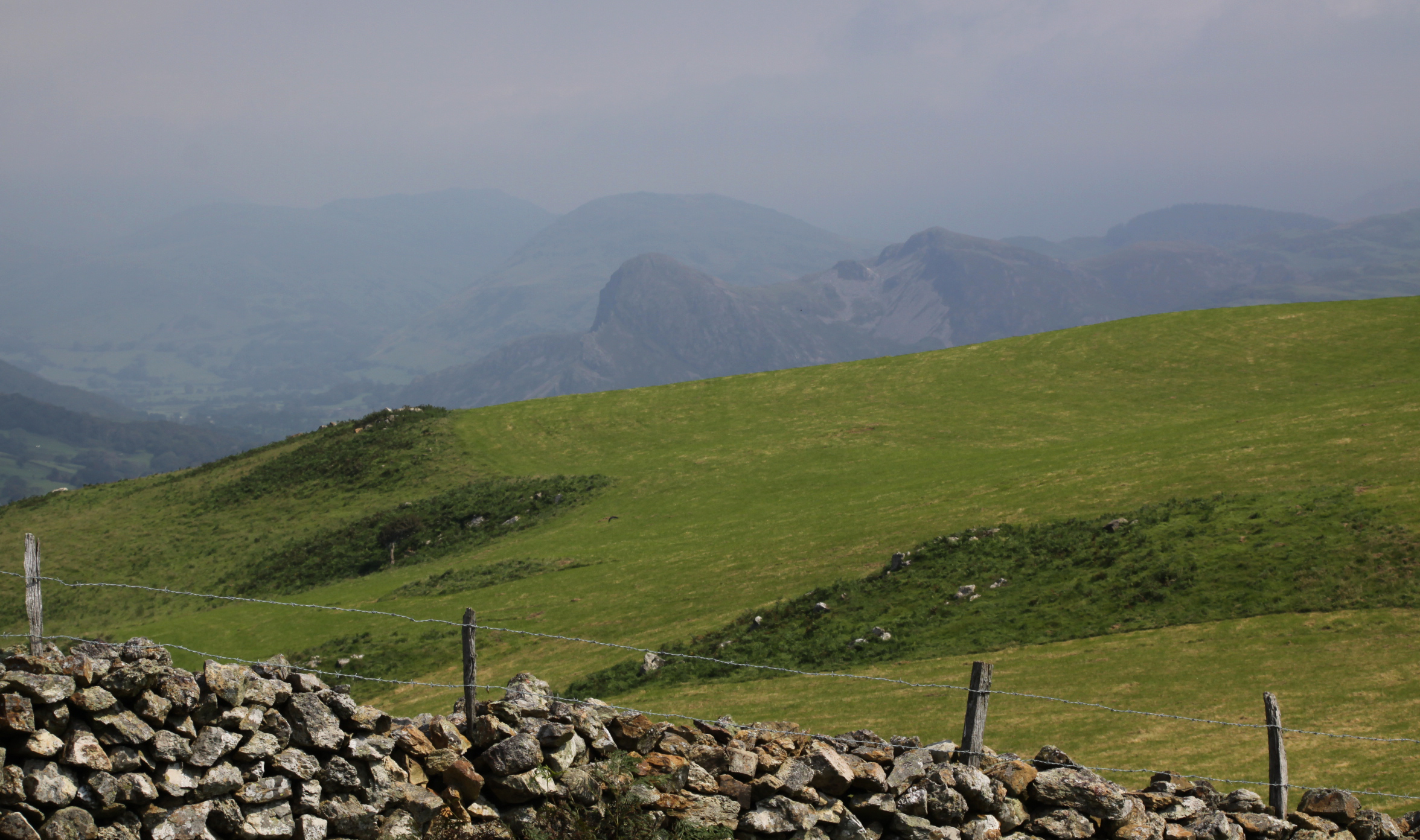
 Castell Mawr is quite unlike either Tal y Garreg or Llechlwyd in a number of ways, although like them, it is surrounded by pasture and has views over Craig yr Aderyd (Bird Rock) where another hillfort was located. Whilst Tal y Garreg and Llechlwyd are on fairly high points on the ridge, (170ft OD and 70 OD respectively), and are on the edge of very steep drops on at least one side, Castell Mawr appears to be much lower than either. The site is at 120 OD, but the surrounding pastures are also quite high, sloping gently away towards lower contours, and the hills that form the main views to the north and east are much higher, giving a sense that it is quite low down. The ridge is only 10ft or so above the surrounding fields, with the west side ditch raising this to 18ft. Unlike the hillforts overlooking Tonfanau, this feels very much integrated into the immediate landscape, not above and apart from it. On the other hand, it does have remarkable views to west, north, northeast and east.
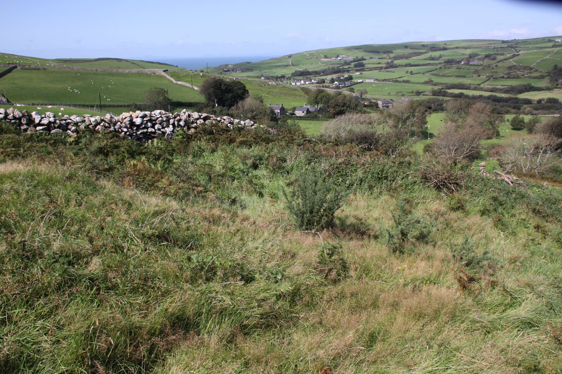
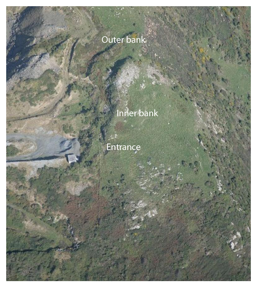
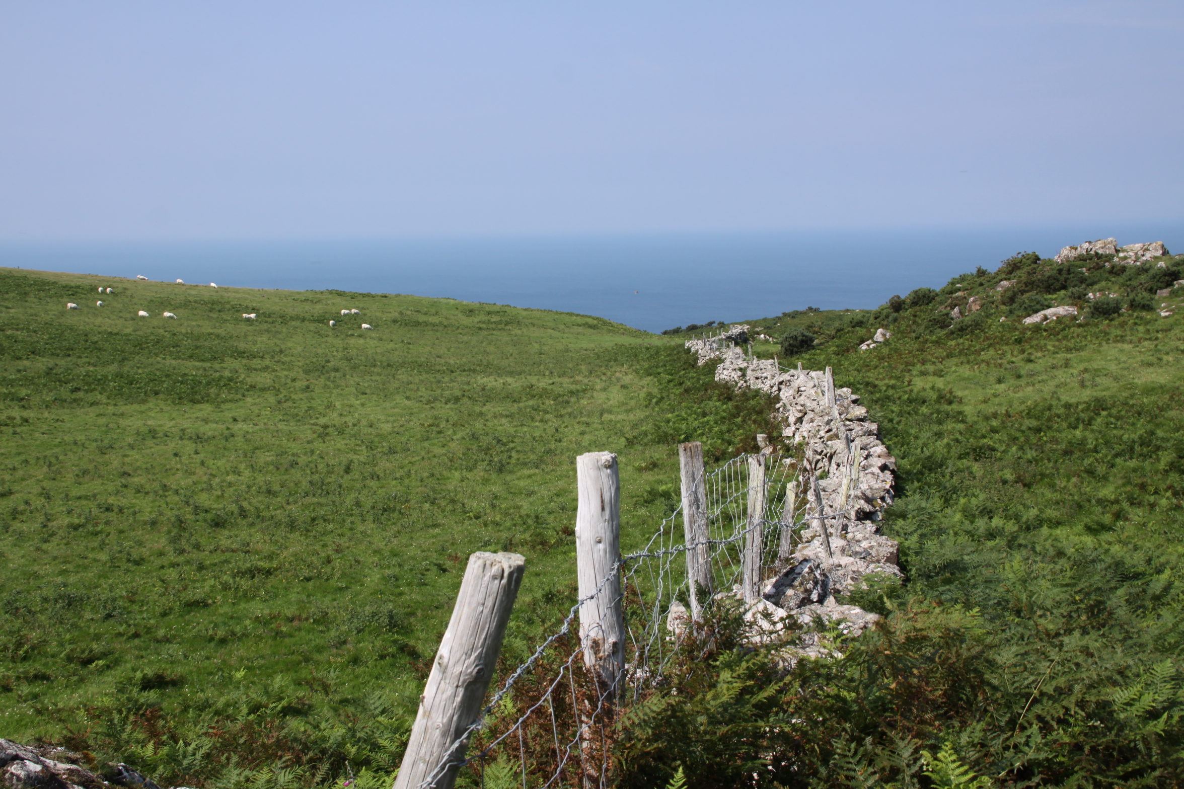
The overgrown interior of Castell Mawr hillfort, with views to the north. The modern drystone wall has been built along the western edge of the hillfort
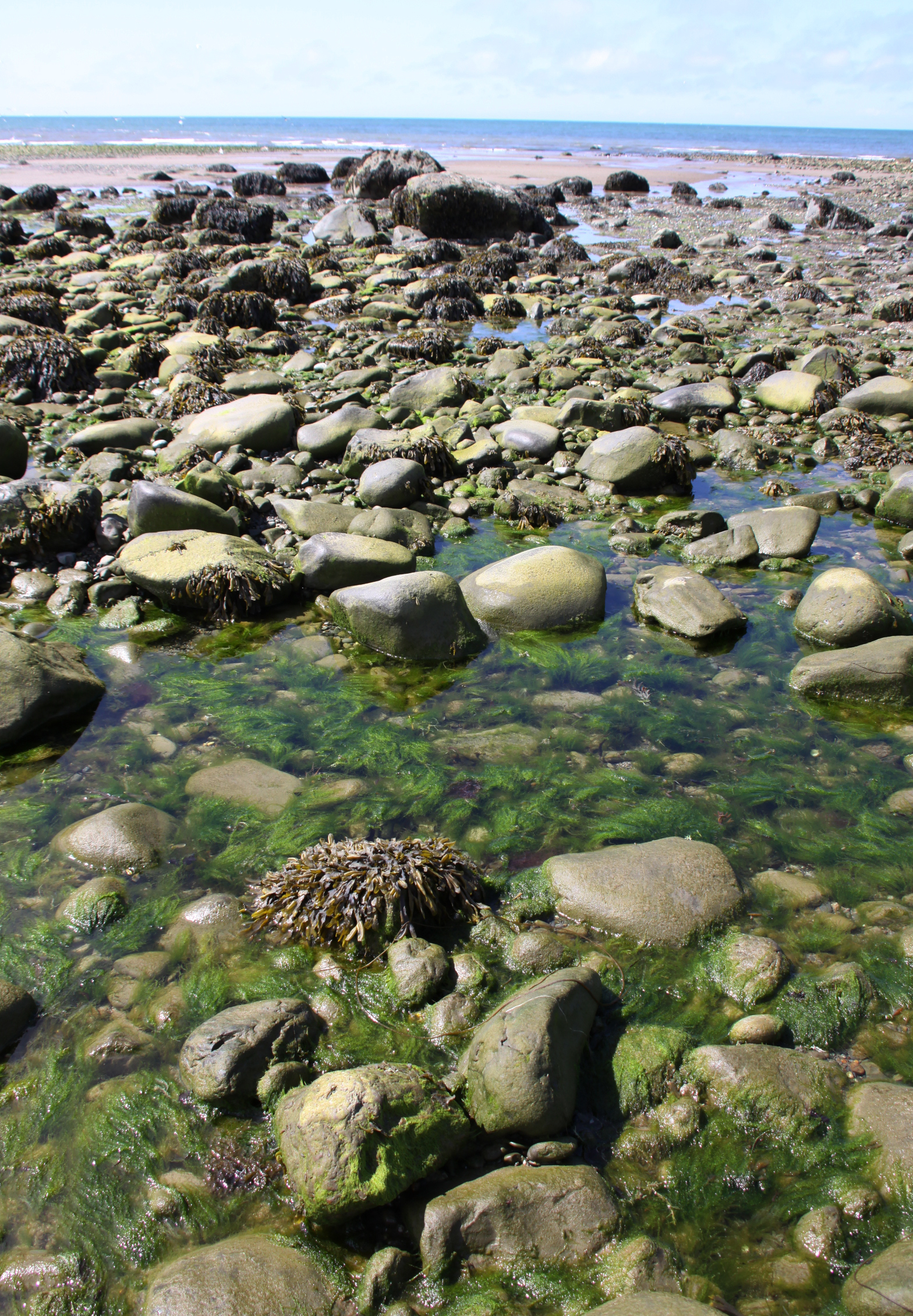
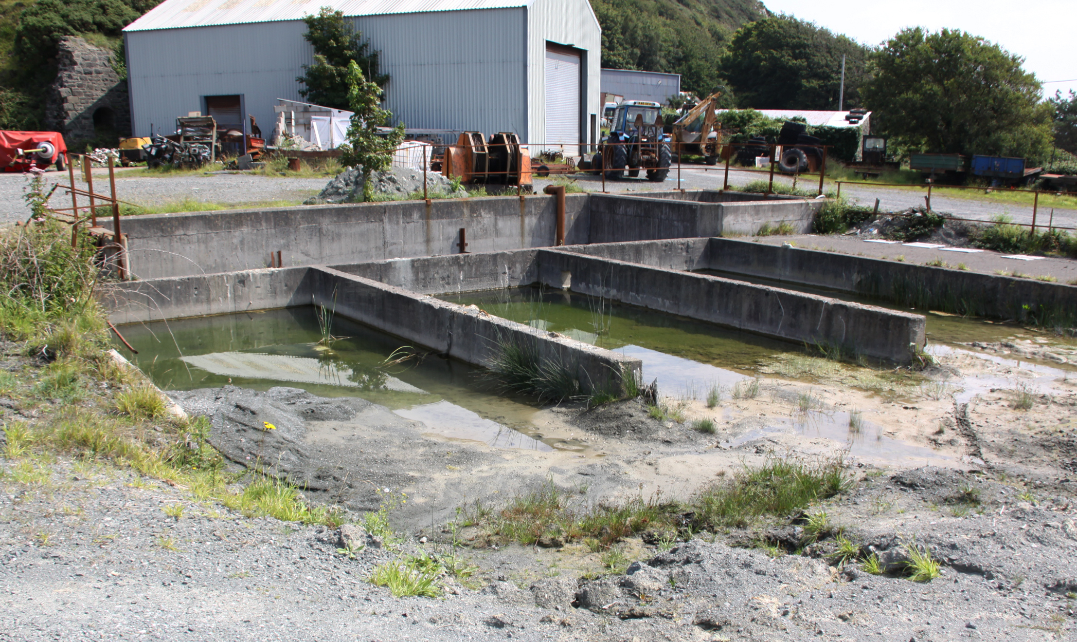
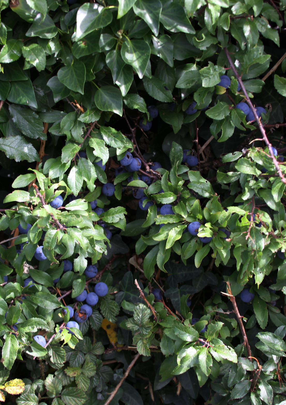
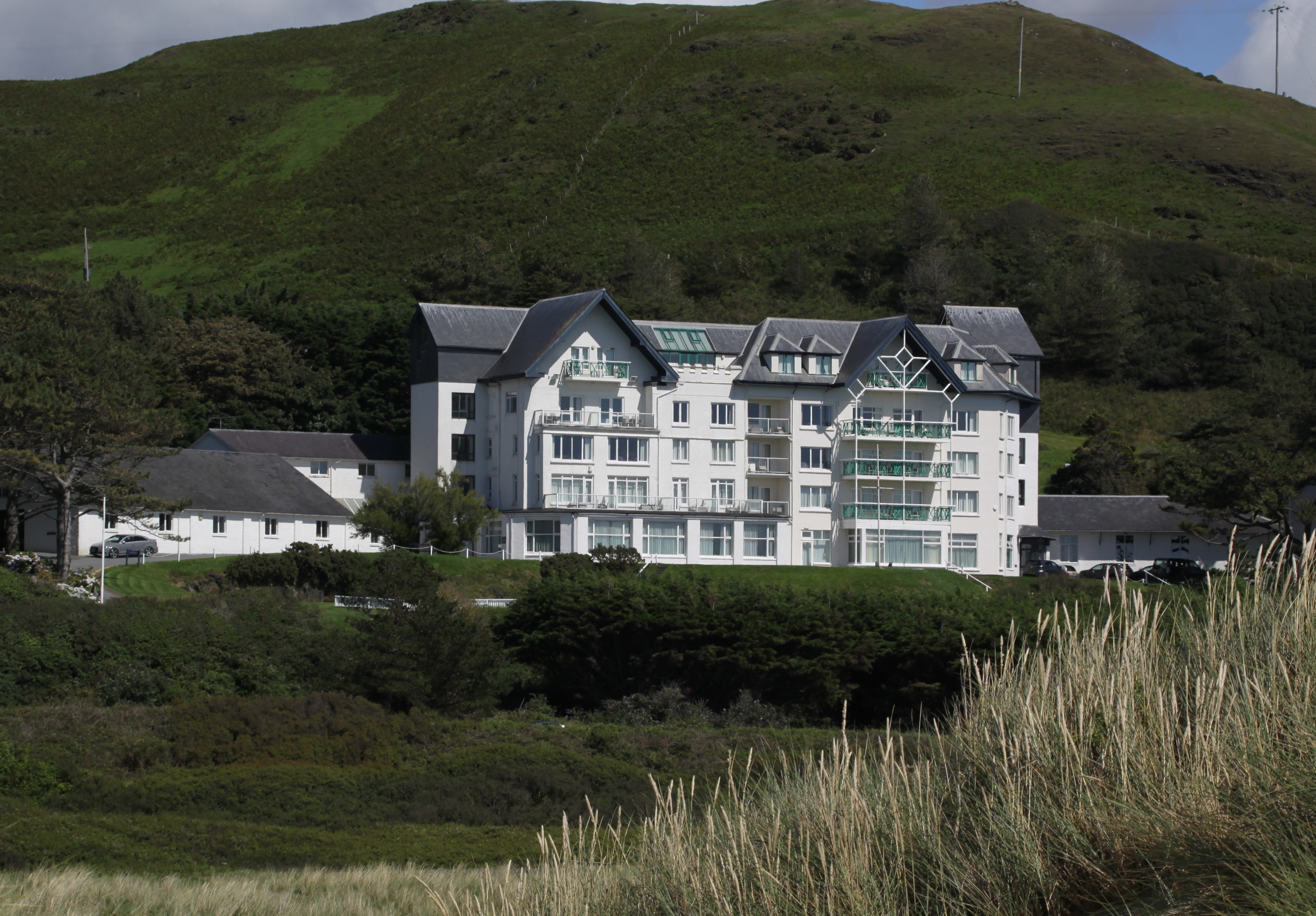
It is a scrubby hillfort. Some hillforts are scrubbier and more indistinct than others, but this one outdoes itself. I was even in doubt that I was in the right place at first, in spite of the OS map clutched in my hand that argued forcefully that the site couldn’t be anywhere else and neither could I. I eventually found sufficient features to confirm that the map was right, and I was indeed at Castell Mawr. This is nothing like the great hillforts of the Welsh Marches or the Clwydian Range. It is small, overgrown and incredibly difficult to make any sense of at all on the ground. It is, however, interesting, and the views are simply stunning. If you walk to the other end of the ridge to Tonfanau (about 1.5km away as the crow flies, but about 2km when you follow the footpath) you will be seriously happy that you went because the views are terrific.
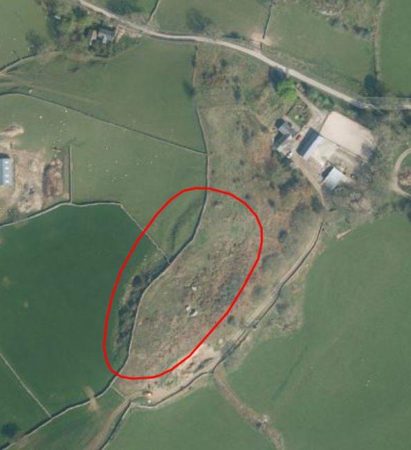
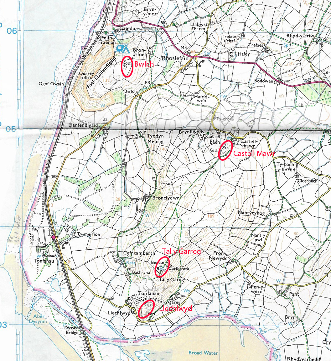
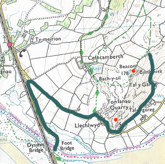
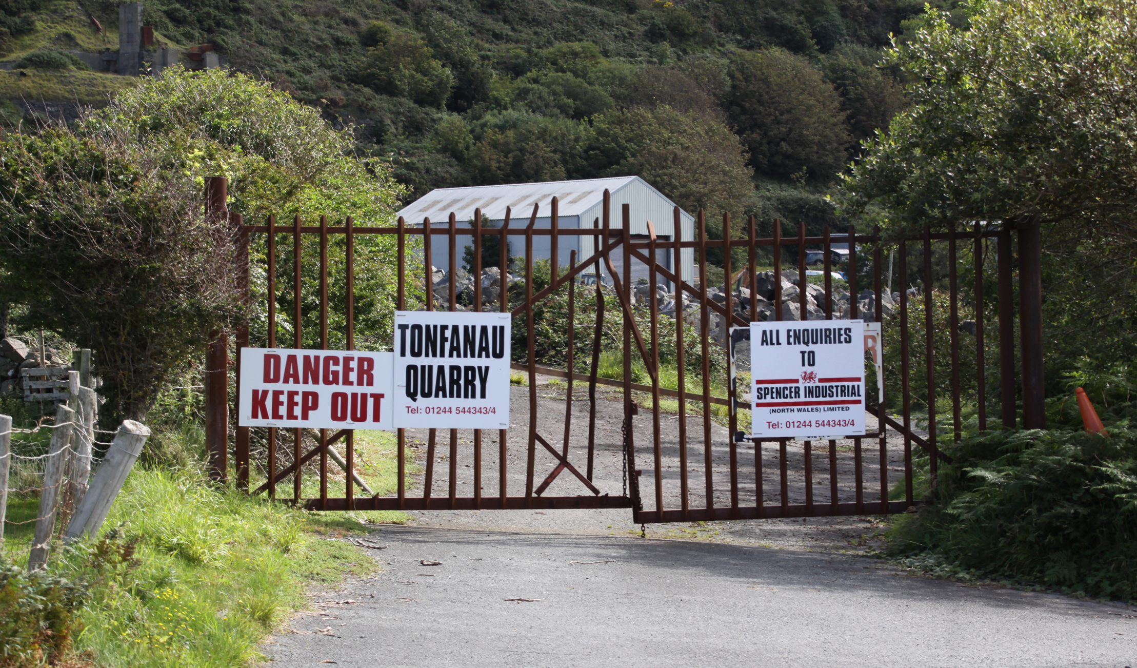
If you are interested in visiting Castell Mawr (Grid Reference SH5804504795) or walking the ridge, here are some basic details. The nearest village, about 2km away as the crow flies (about 3km to walk), is Llanegryn. The hillfort is located just beyond the Castell Mawr Farm house and out-buildings, and is helpfully skirted on its southwestern side by a footpath that continues across the ridge to the two hillforts above Tonfanau, making it easy to walk the three hillforts in one day.
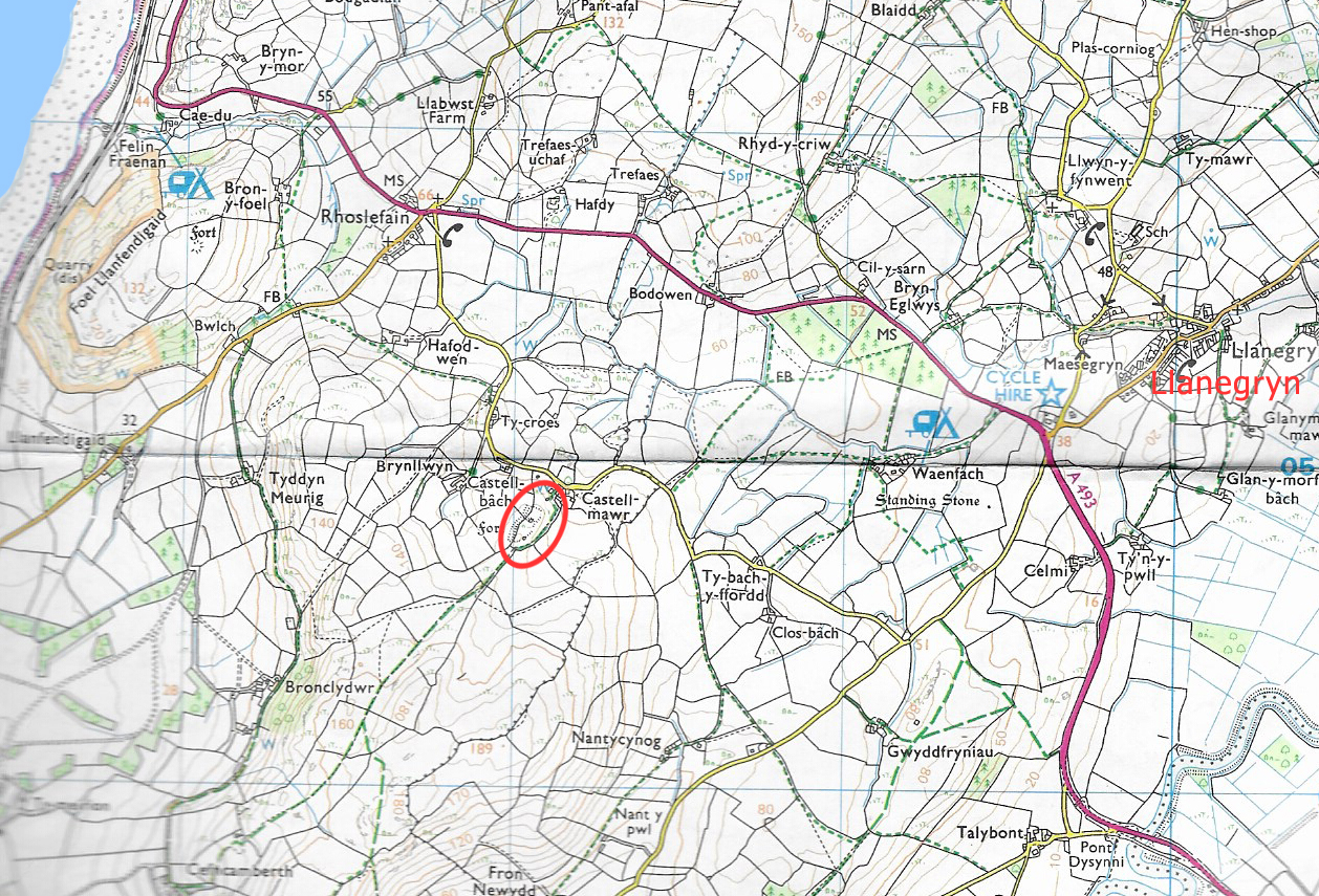
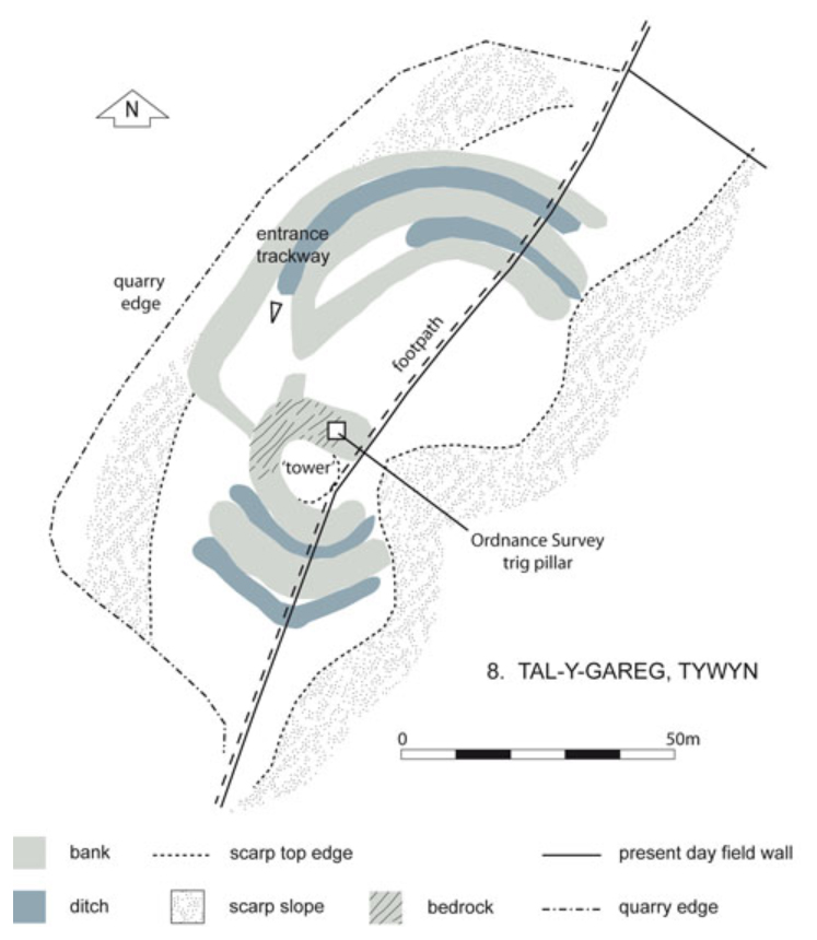
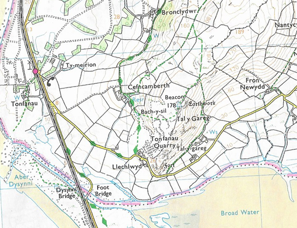
The location of Castell Mawr on the Ordnance Survey map, OL23. Click to enlarge to see the footpath around the hillfort clearly.
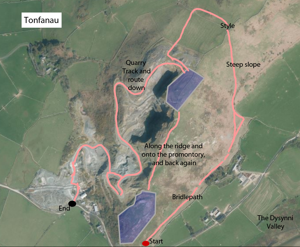
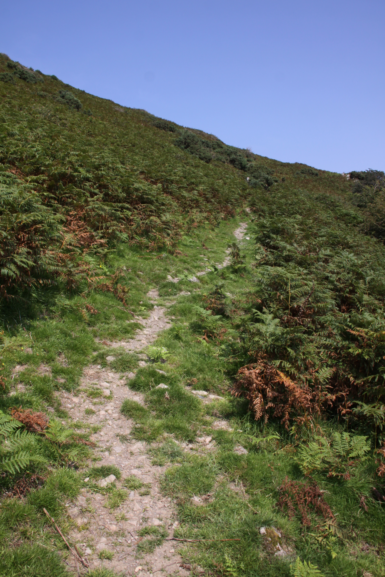
There are two ways of approaching Castell Mawr. The first way is a less straight forward walk, parking at the Tonfanau bridge and walking up to the ridge of the hill and then along it, about 5km there and back with diversions to find gates through the drystone wall, but including a short but steep route up Mynydd Garreg. See the Tal y Garreg post for my preferred way up on to the ridge. Instead of turning left to Tal y Garreg, turn right along the centre of the ridge, which is a footpath leading to Castell Mawr. The footpath is not at all clearly marked, so if you take that route, I recommend that you take a map and compass. Alternatively it’s a matter of parking up at the Castell Mawr end and taking a short walk to the hillfort along a short stretch of footpath and then proceeding along the ridge towards Tal y Garreg. The footpath is accessed just off a narrow B-road that runs just to the north of the hillfort, which is itself accessed from the A493. There is no formal parking area, but you can either leave your car on the wide verge outside Castell Mawr Farm, or alternatively park in Llanegryn and walk footpaths from the A493, which is a distance of no more than 3km. The footpath alongside Castell Mawr is not marked with a public footpath sign. You simply walk up into the farm, past the house on the right and follow the track to the left behind a stone barn and then to the right, continuing along the track. On your left are a modern farm building and some fields and on the right a steep bank, which is the hillfort. Carry on up the track. On the right is a gate that takes you into the hillfort. Immediately ahead of you is another gate that takes you up on to the ridge to continue the walk.
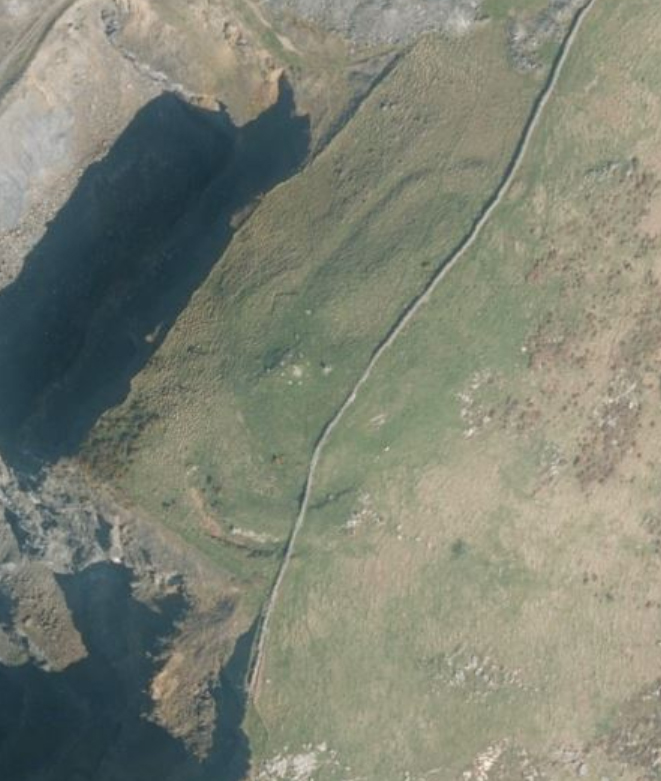
Castell Mawr hillfort is aligned northeast (top of the photograph) to southwest.
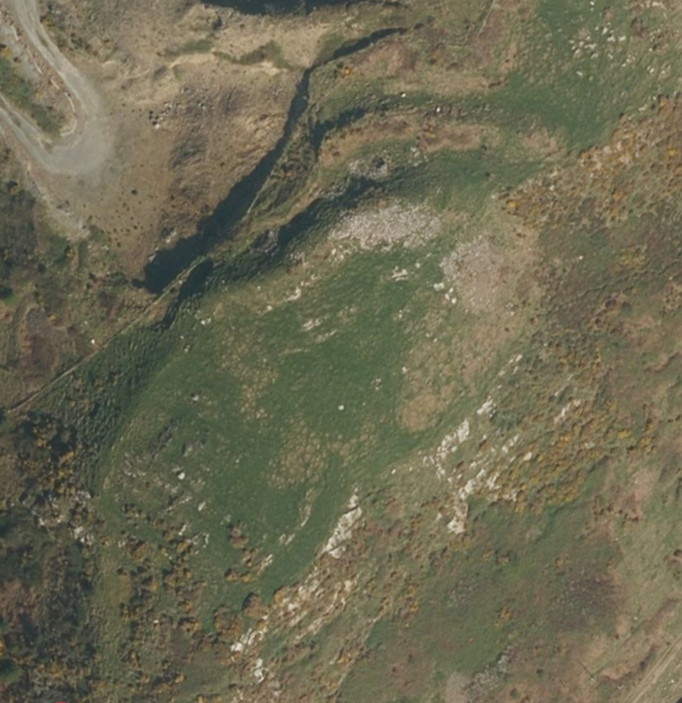
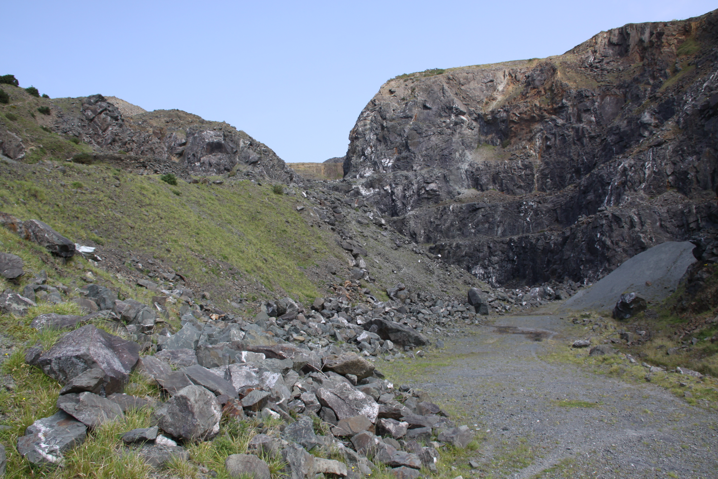
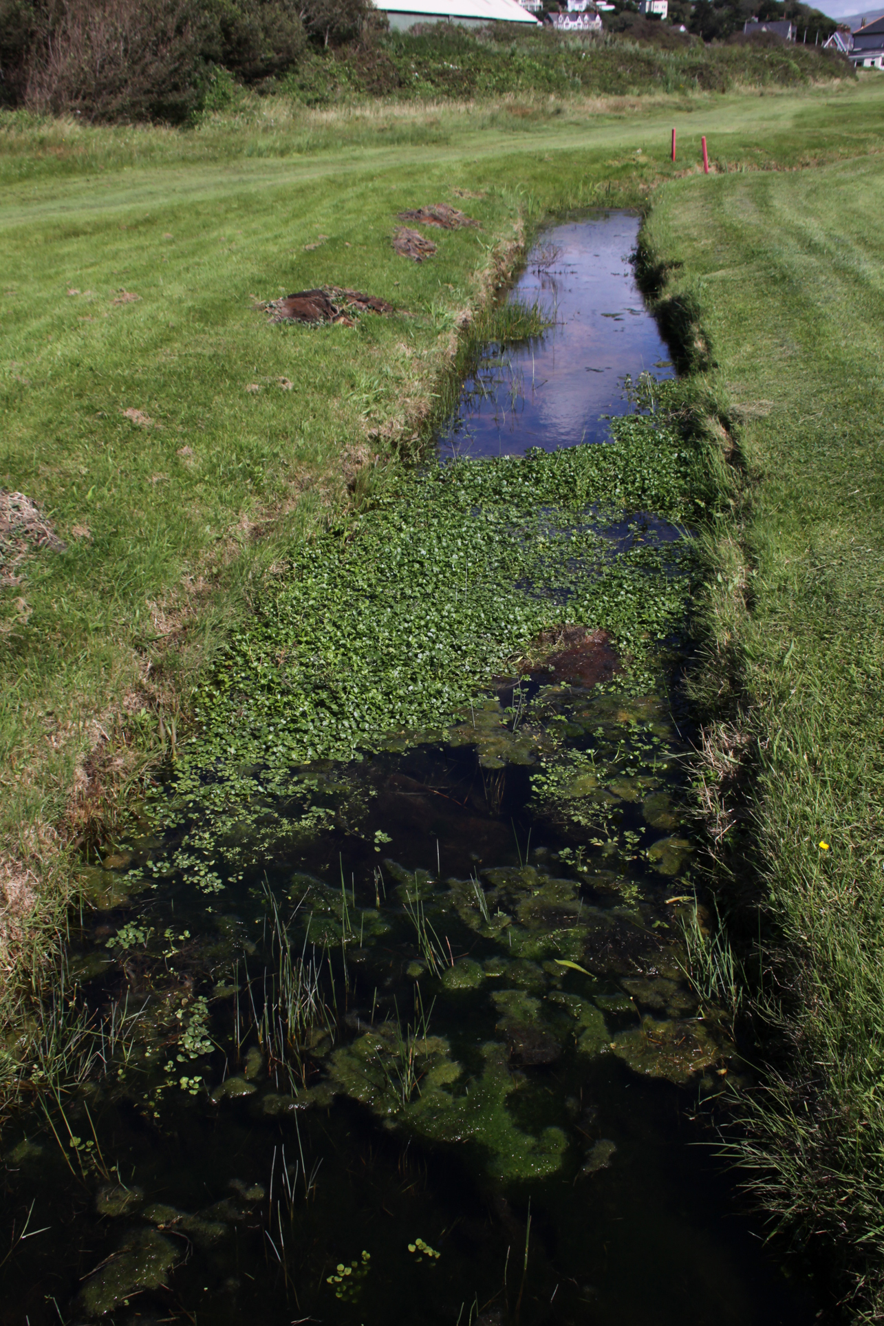
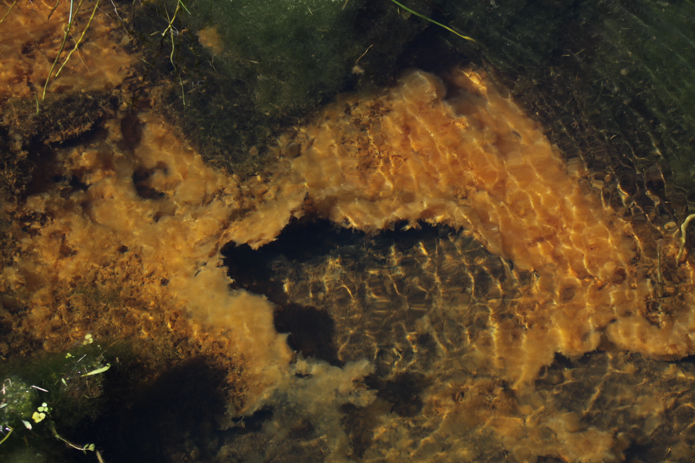
The site is a roughly oval enclosure on a rocky protuberance at the end of the Mynydd Garreg ridge, measuring roughly 262.5ft/80m north-east to south-west by 118ft/36m. It depends for most of its defensive potential on natural slopes. A man-made rampart is clearly visible on the west, consisting of a rock-cut ditch below a steep slope. It is around 18ft/5.5m from bottom of the ditch to the top of the bank. Another line of defense can just about be seen at the south side of the fort, but does not extend around the east side, which is something of a puzzle, as the natural slope is steep but not terribly high – at a guess I would say about 10ft/3m from the level of the surrounding fields. At the north there is a slight inner bank, possibly with a shallow ditch behind it, which I found by falling into it. This seems to be an extension of the outer earthwork visible above on the outside of the drystone wall. Other details are remarkably difficult to make out, although by dint of fighting my way through brambles and leaning over the drystone wall I did find the outer bank on the west side that is shown on the aerial photograph. The Coflein website suggests that there may be an east-facing entrance, and I have no idea how anyone could have made that judgement. I can’t see it either on the ground or from the aerial photographs and Bowen and Gresham says that the position of the entrance is uncertain. The The Royal Commission (1921) covers the site in four lines on page 128, but the brief entry does include the information that in a 1914 visit a freshwater spring was observed within the hillfort. Today a spring is marked on the OS map immediately to the north, just to the west of the farm. Bowen and Gresham suggest that the site is incomplete. Unfortunately, and perhaps sensibly, they have not attempted to provide a plan of the hillfort.
The interior of the hillfort, looking to the west

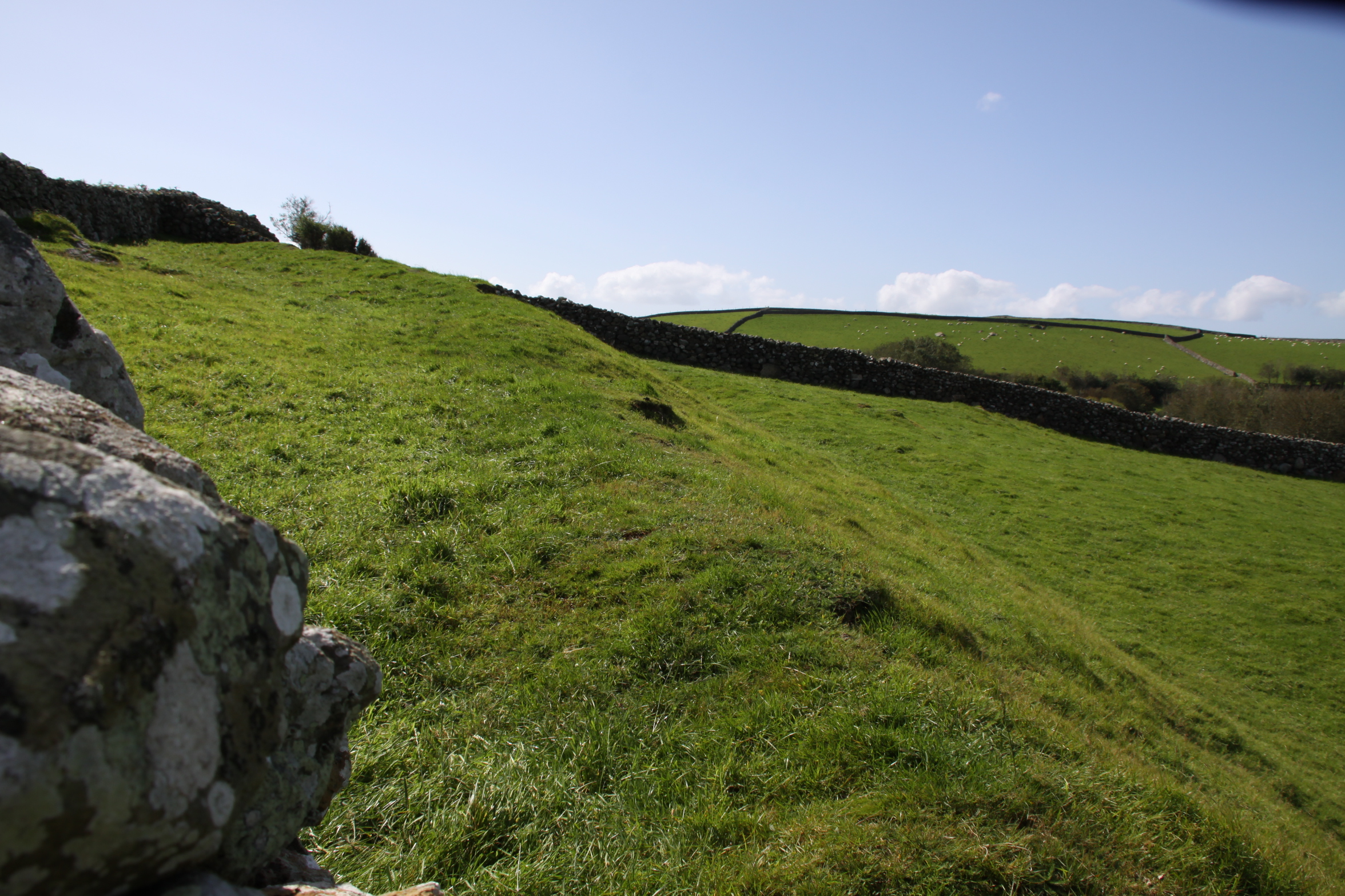
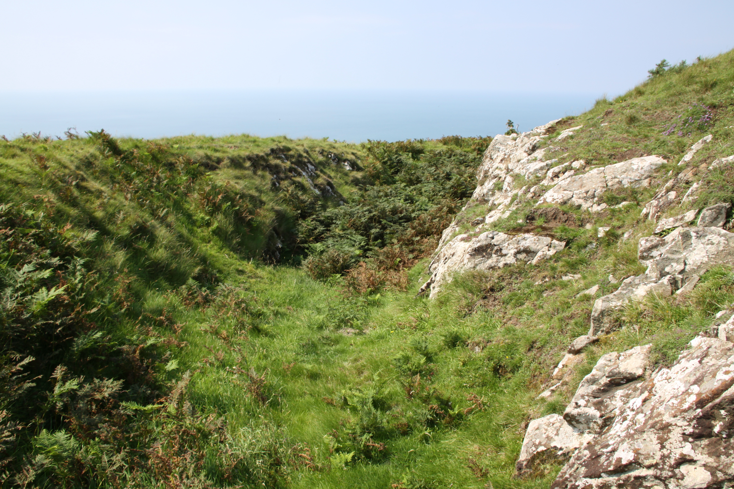
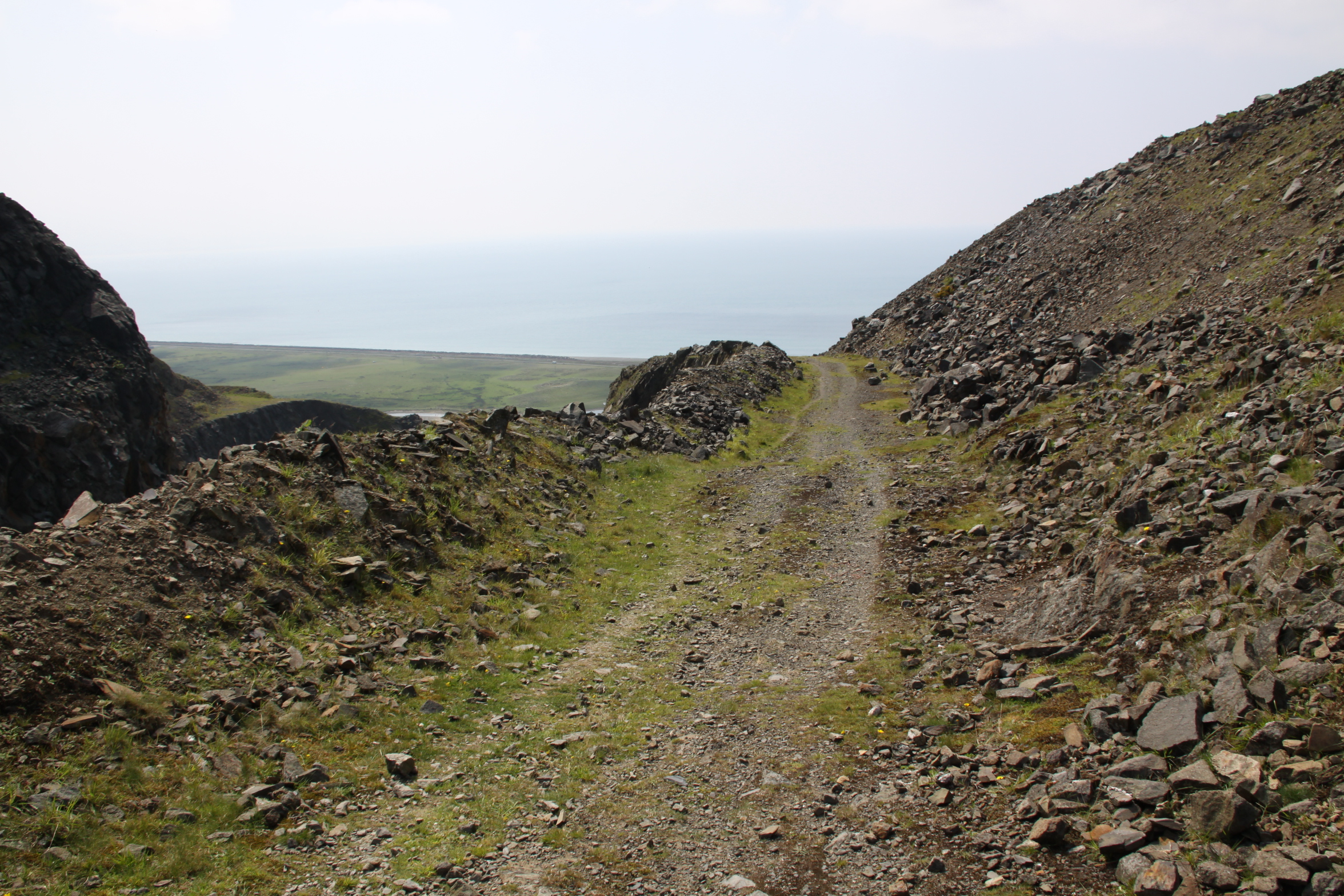
The outer ditch on the west side, with the short but steep slope to the top of the bank, where a drystone wall has since been constructed

Another view of the slope and the ditch at its base
Another view of the ditch and bank.

In the hillfort looking south
The wide outer bank shown clearly on the aerial photograph, on the west
The interior of the hillfort looking east
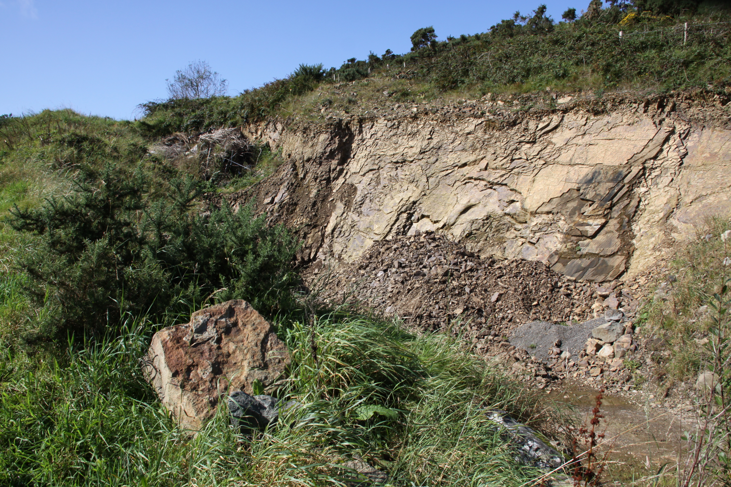
Minor modern quarrying along the eastern edge of the hillfort, showing the top of the hillfort above, giving an indication of the short height above the levels of the fields
The west bank from outside the hillfort, from the south
An annex is mentioned by Bowen and Gresham, of which I could seen nothing due to the heavy scrub and bracken, but it apparently extends a further 78ft/24m to the north of the inner bank. Perhaps part of it includes the outer bank shown on the west of the aerial photograph.
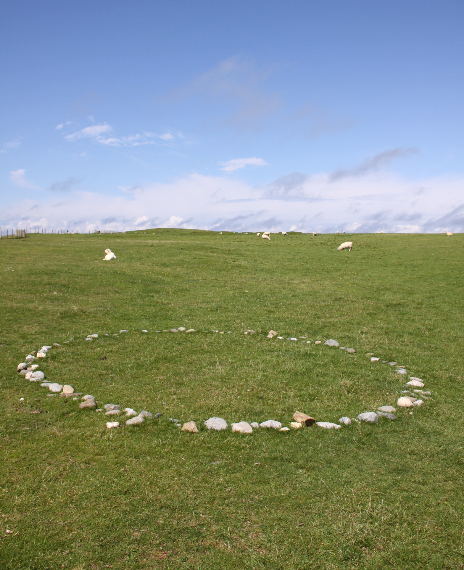
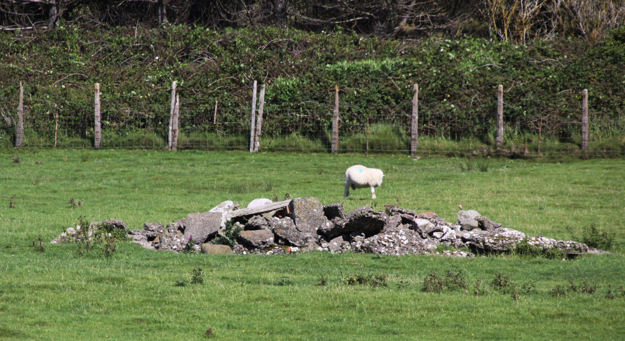
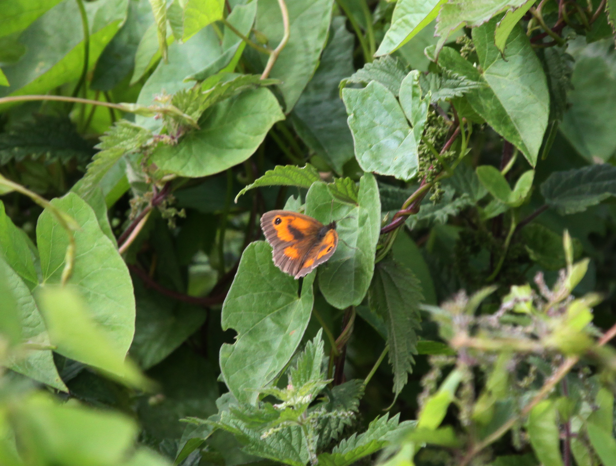
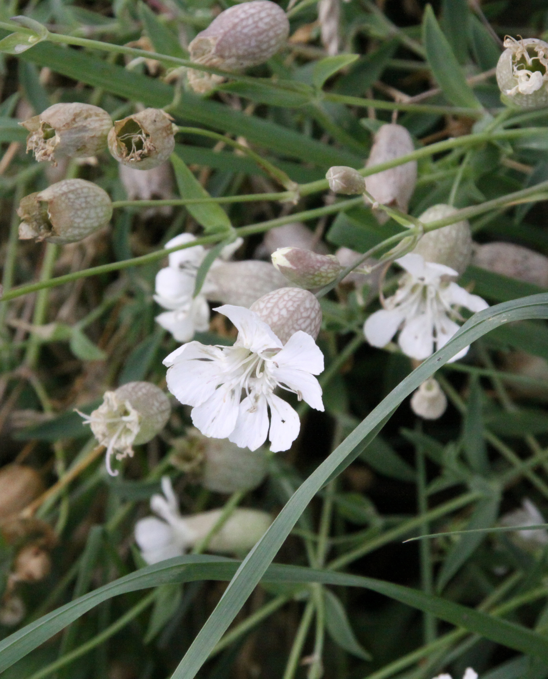
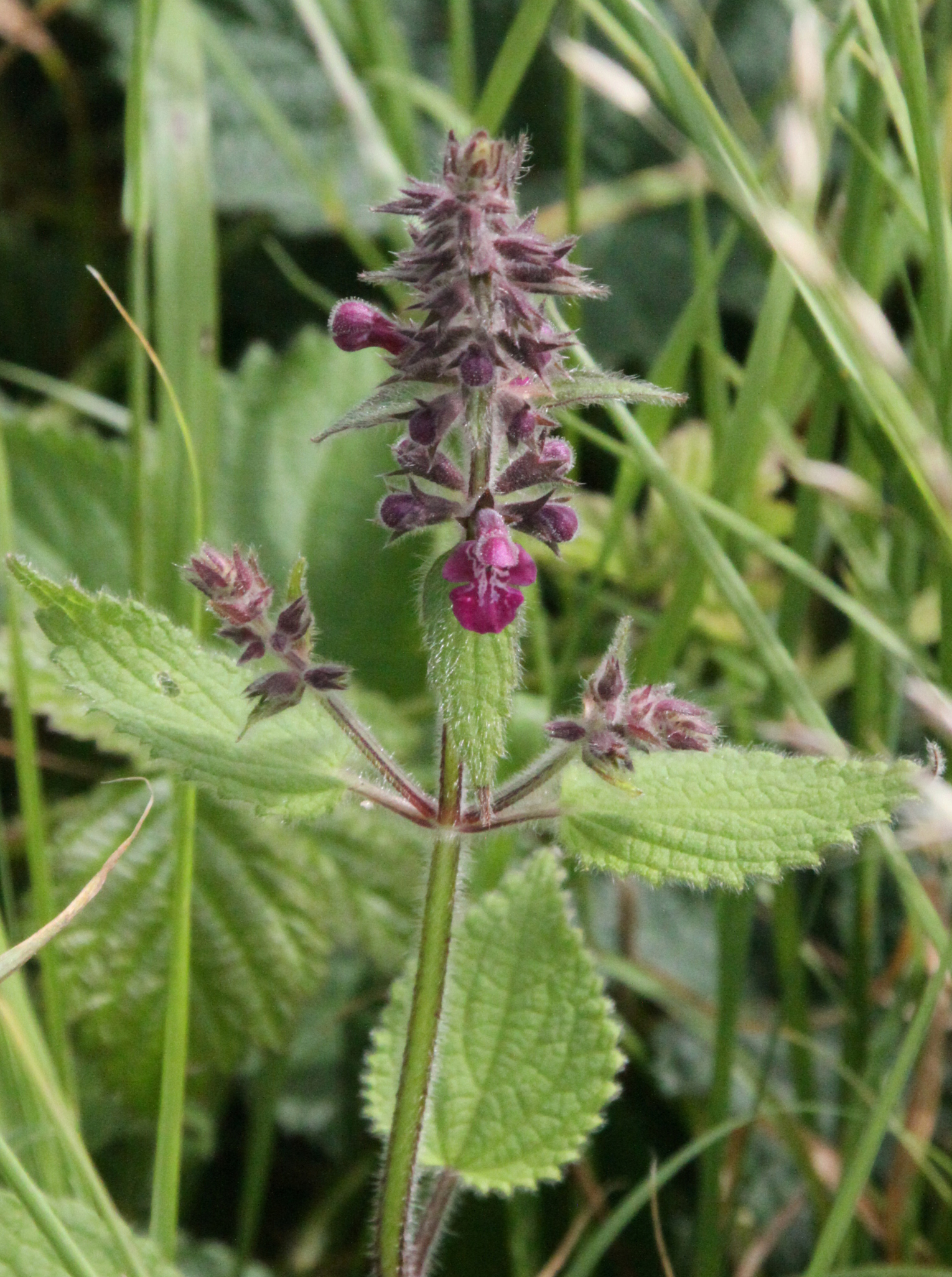
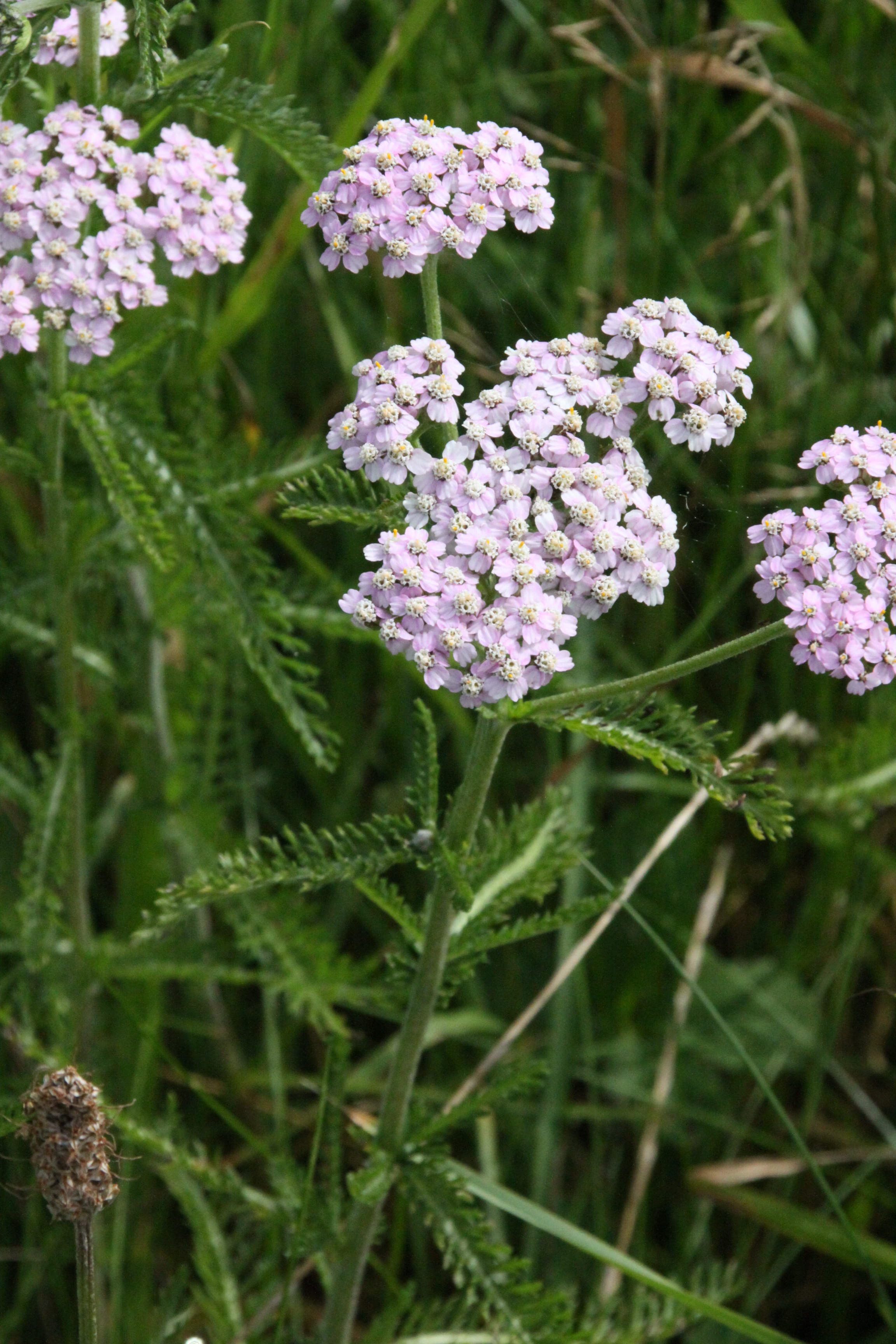
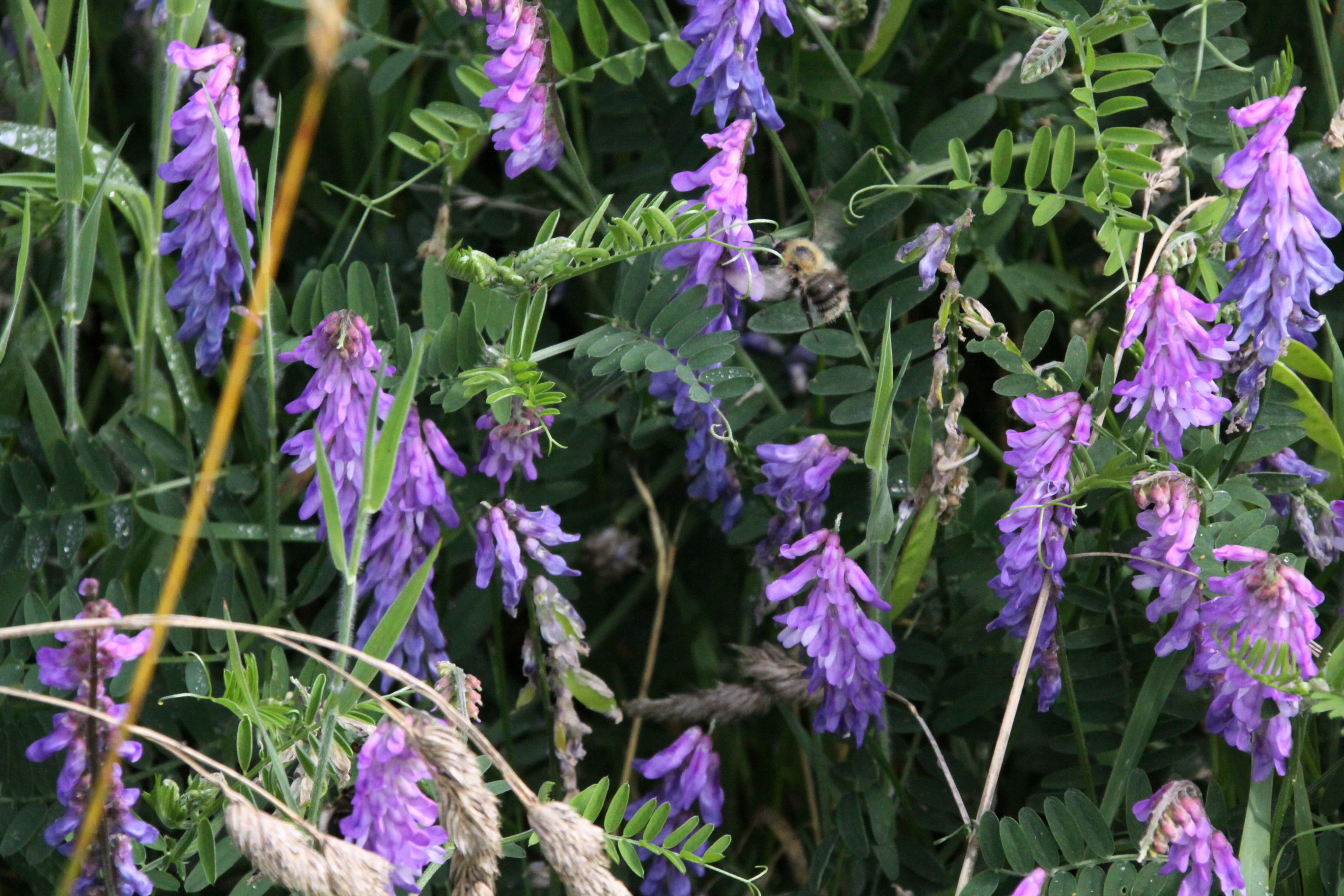
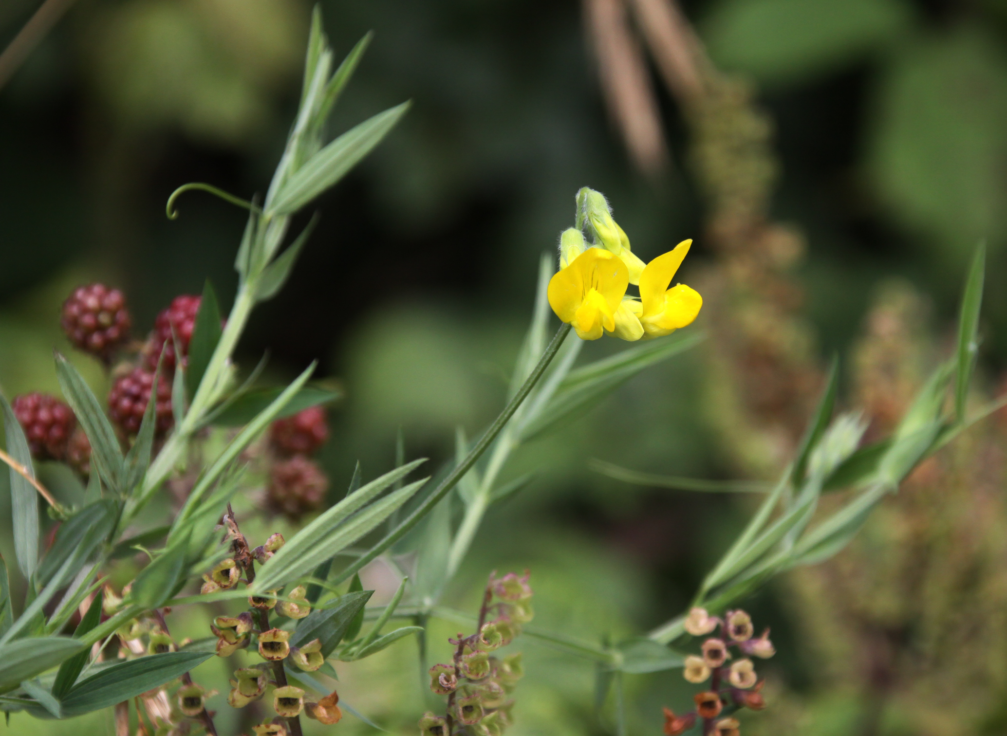
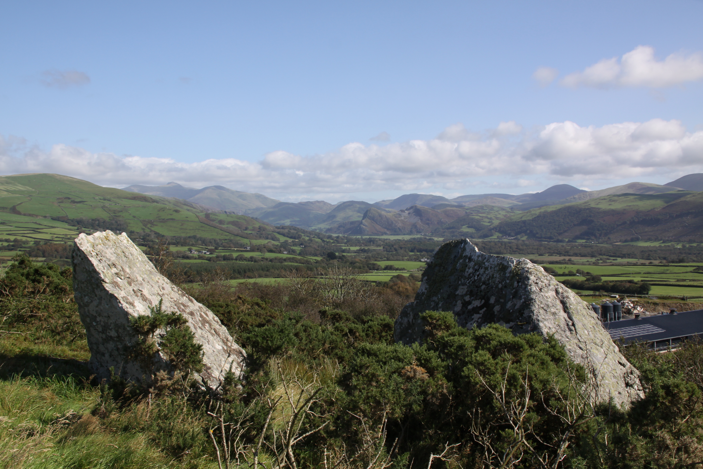 Castell Mawr does not seem a promising site for locating internal structures of any sort. The interior is a mixture of considerably uneven ground, with big dips and holes disguised by bracken and very thick grass, together with big horizontal chunks of bedrock around which the site is built. There are three massive glacial eratics within the site, which are not mentioned anywhere else, but are truly impressive. Two of them must be about 6ft/1.8m tall.
View to the north
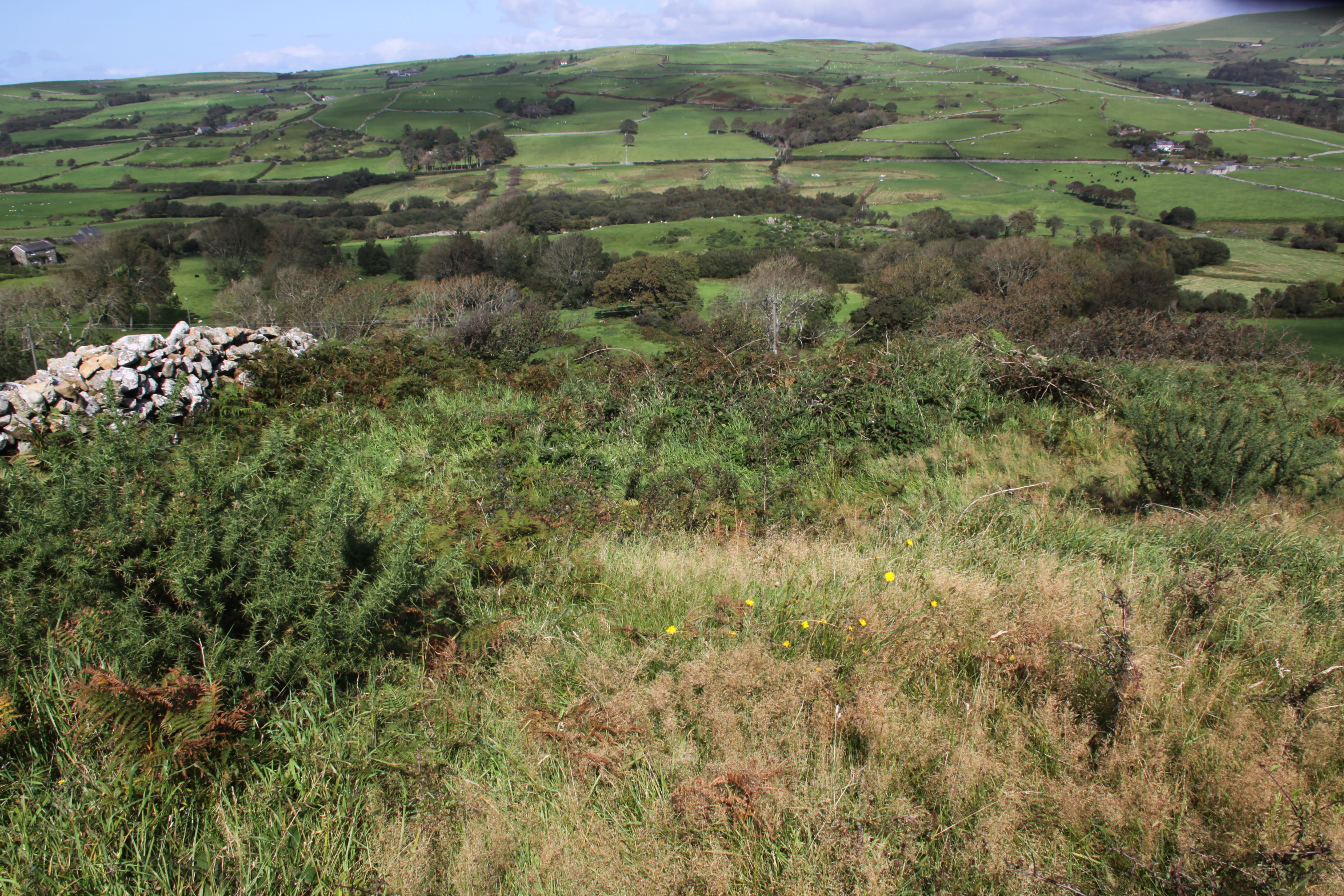
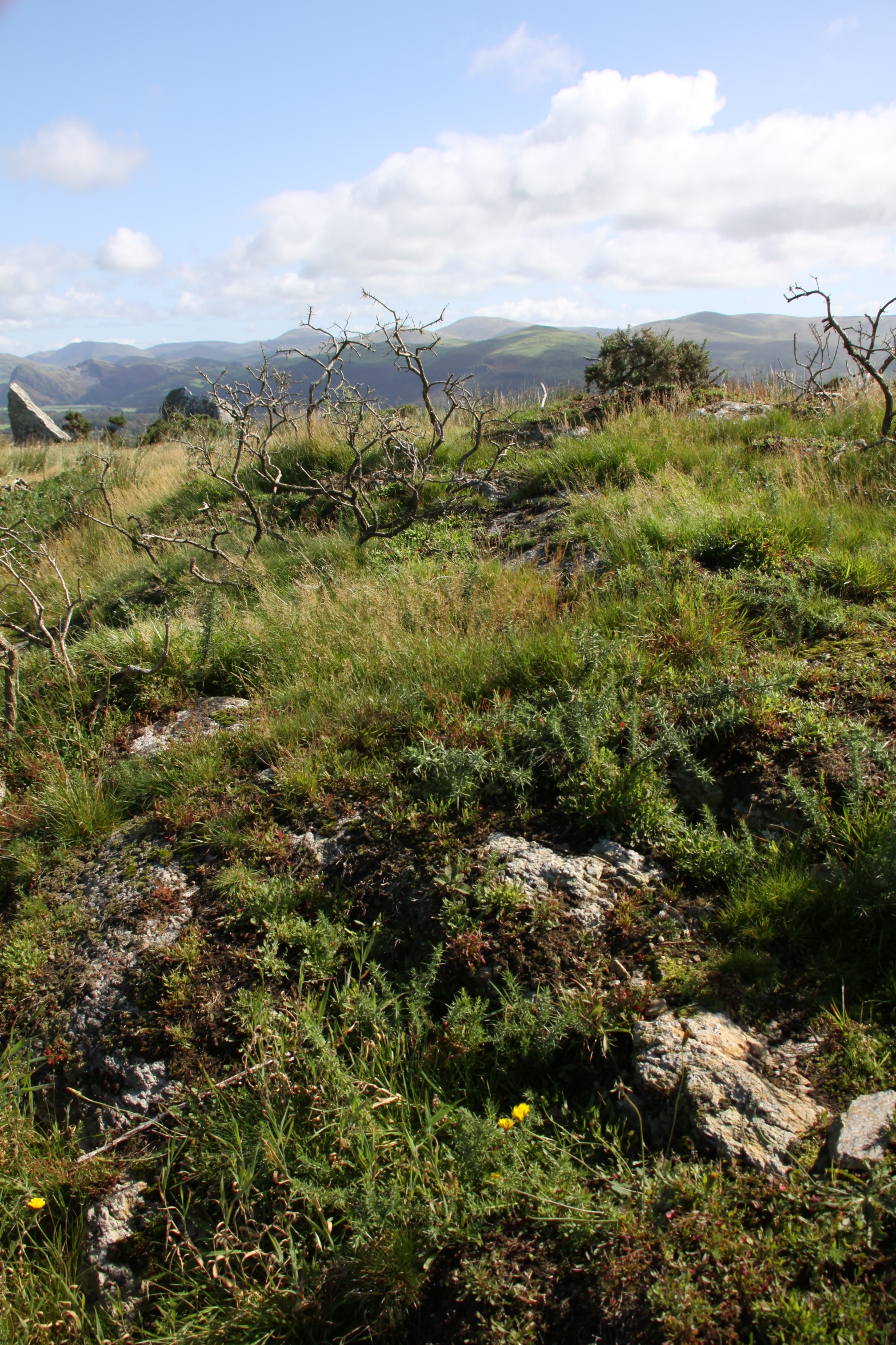
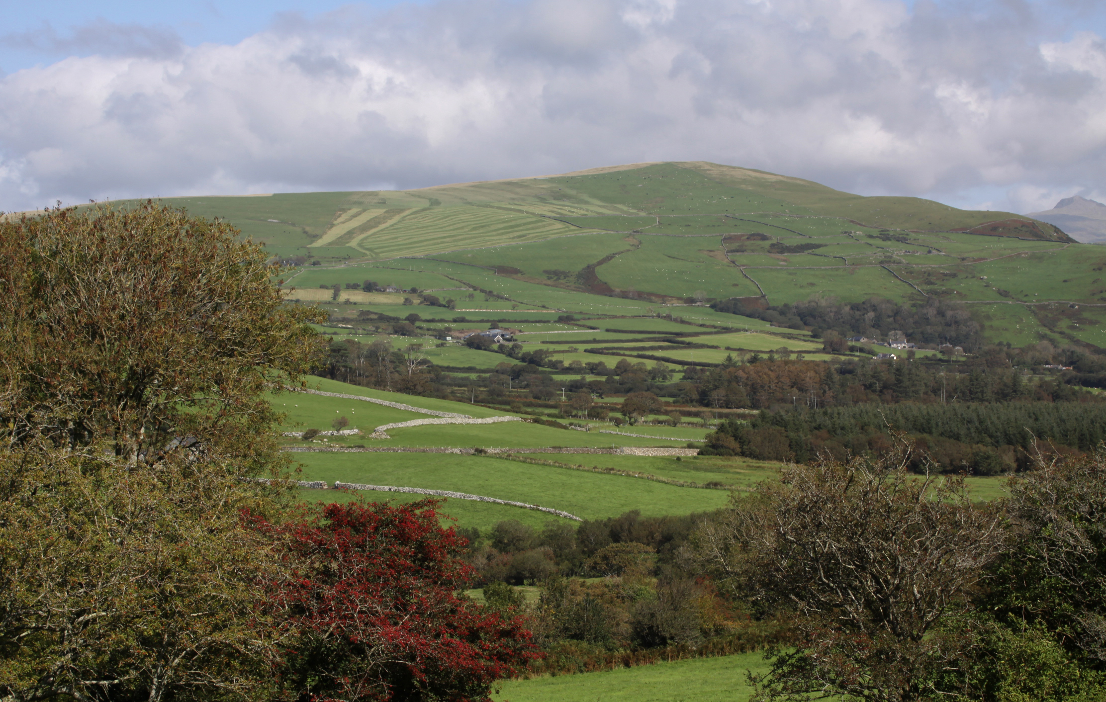
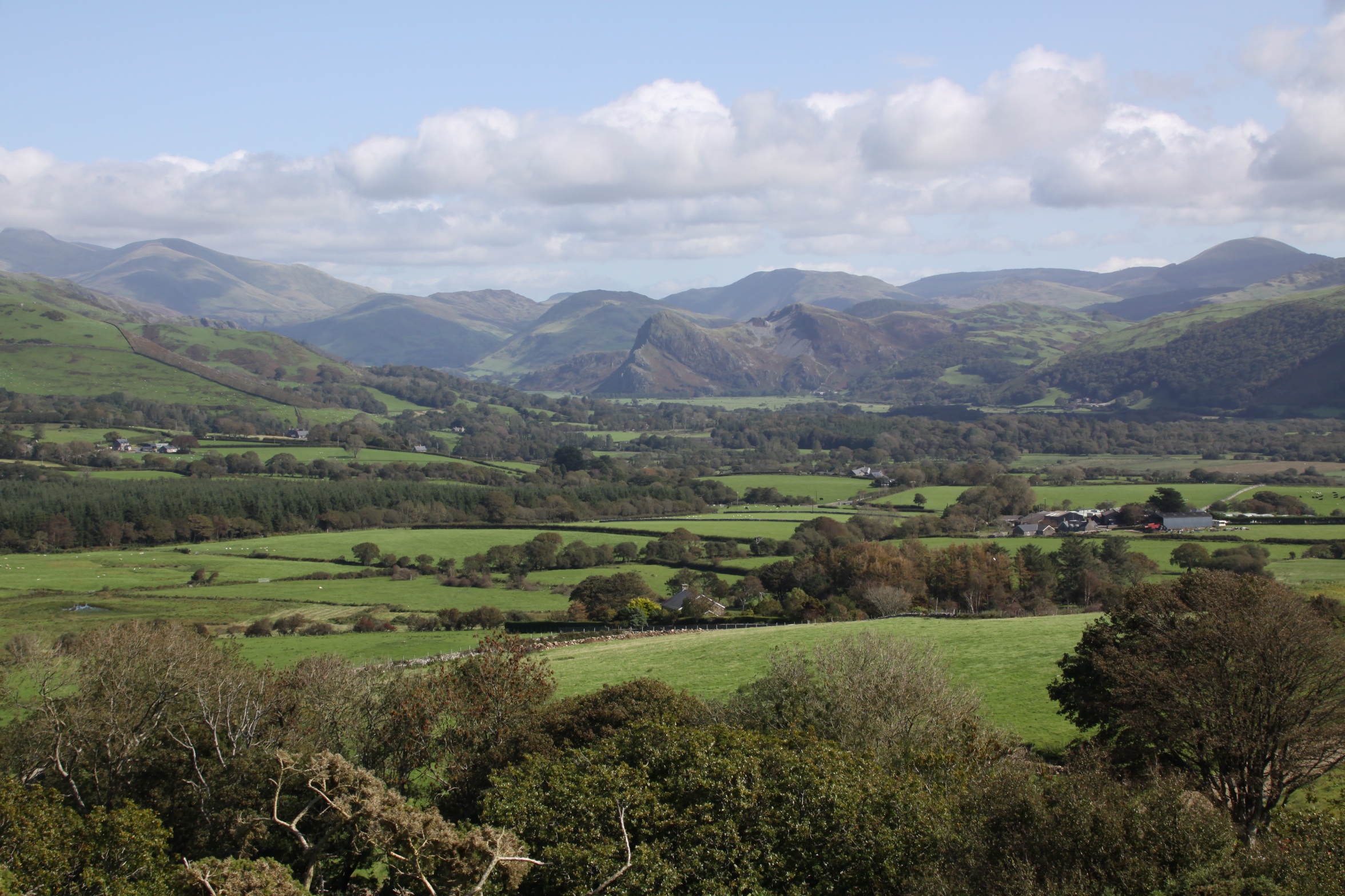
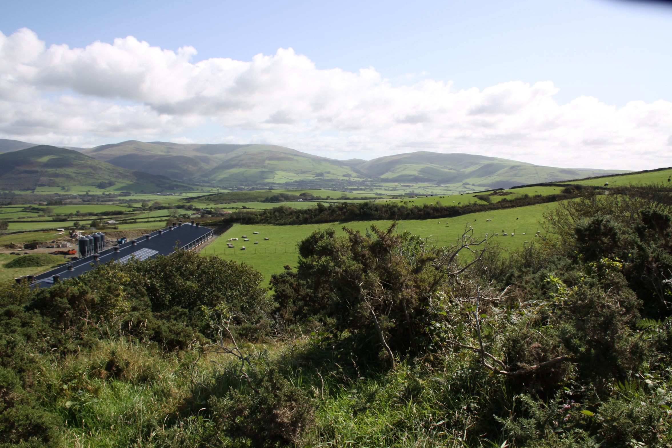
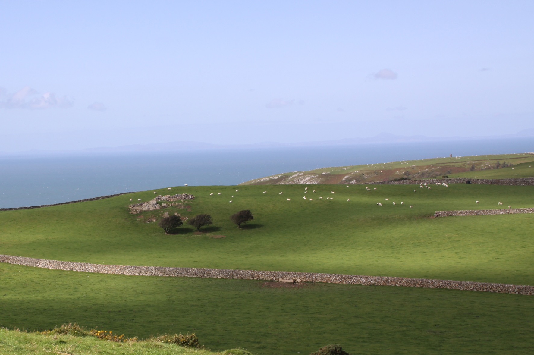
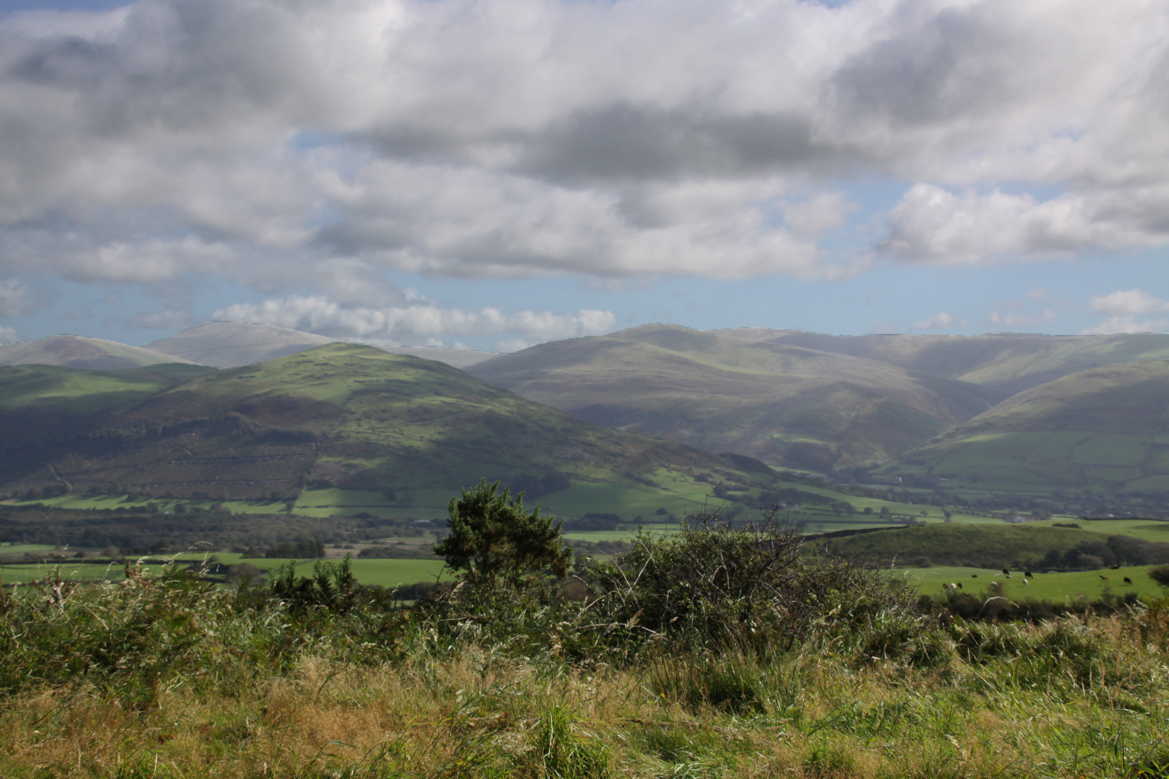
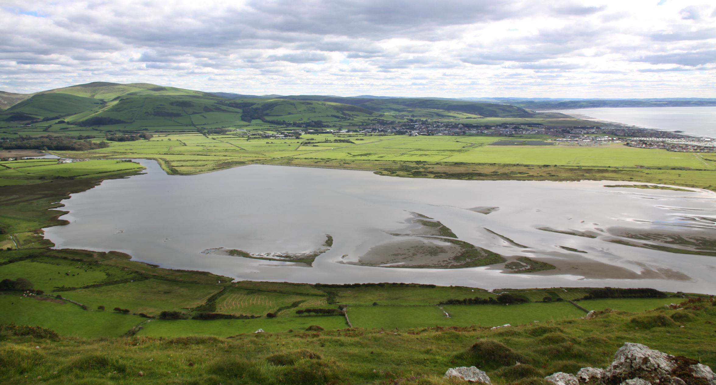
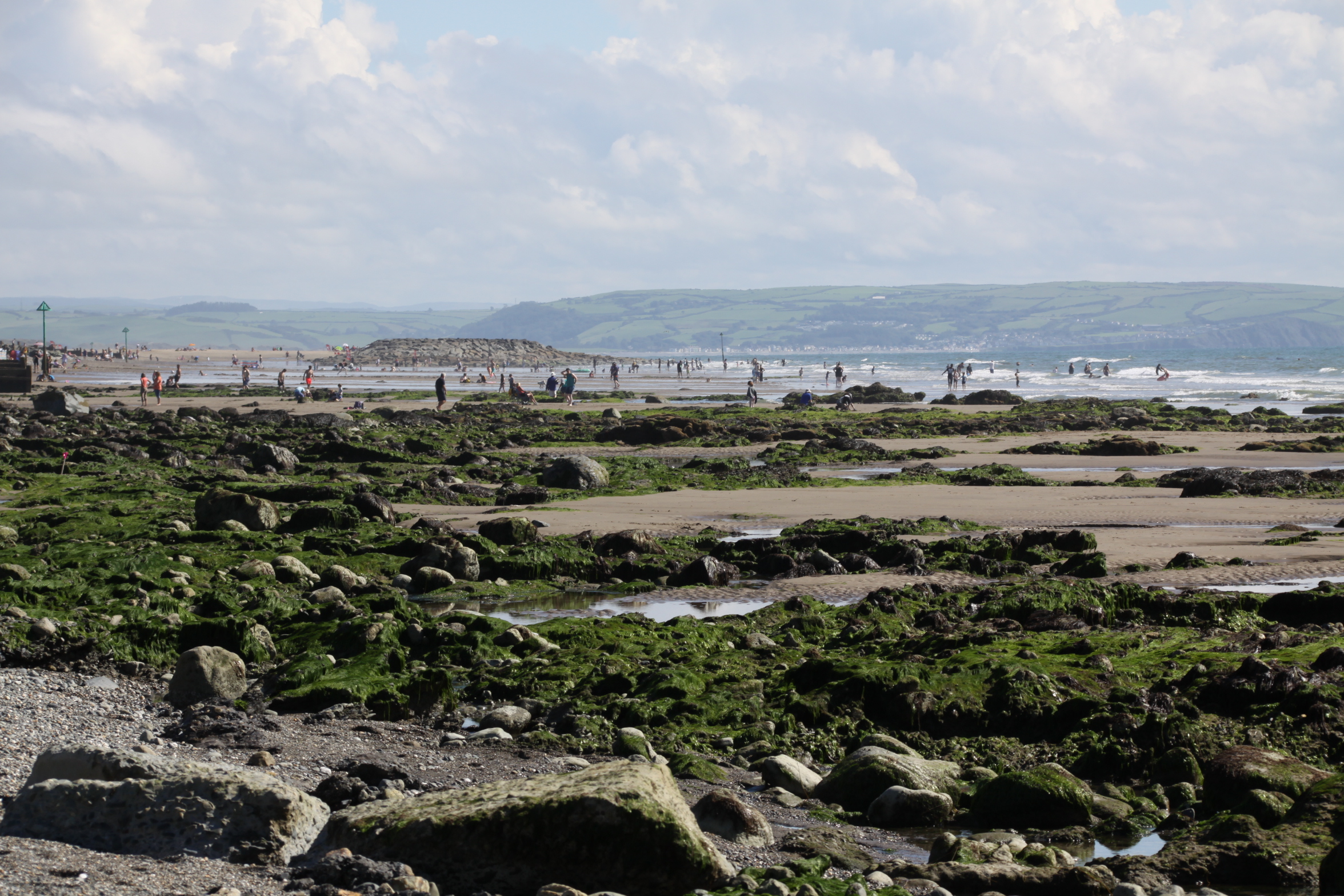
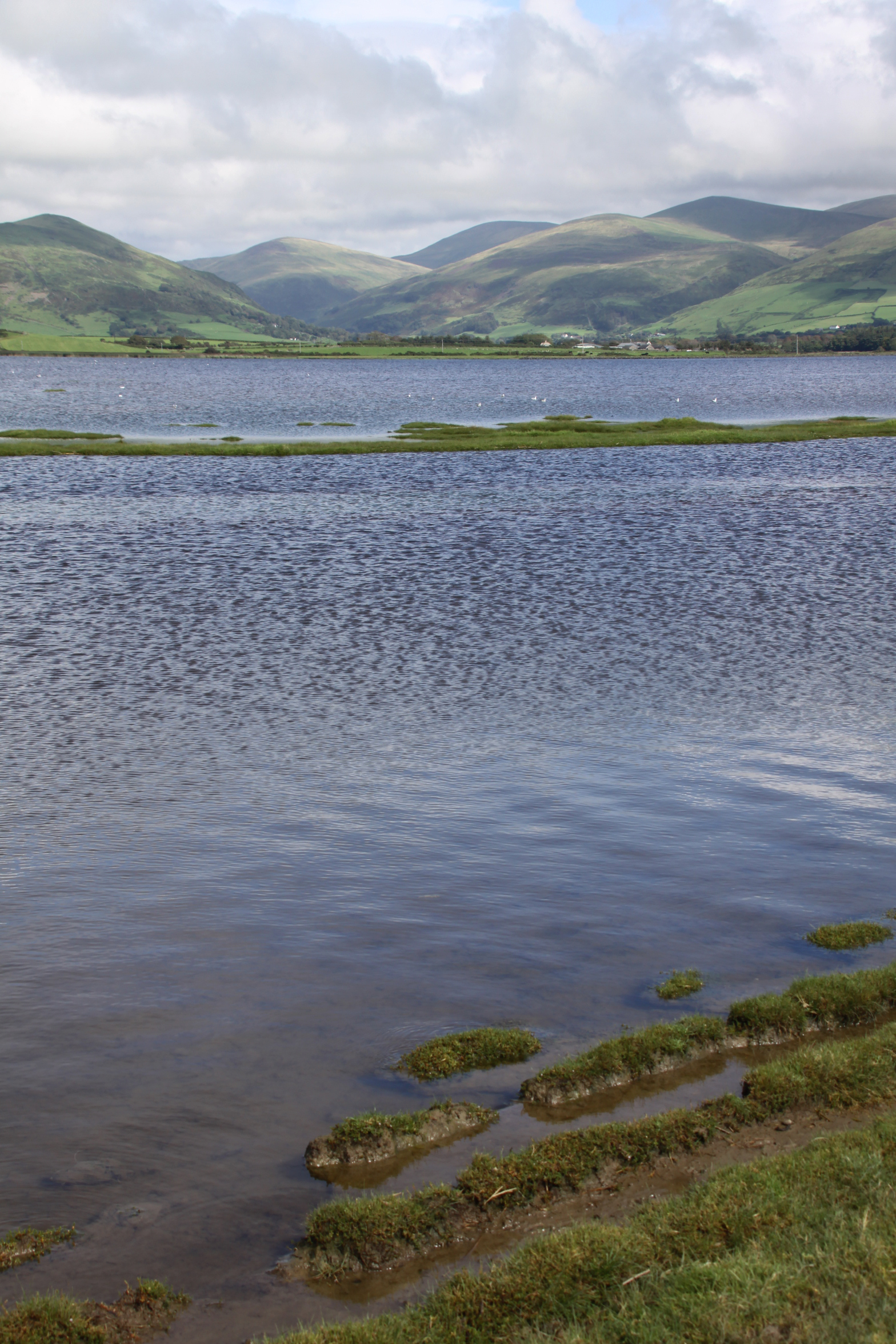
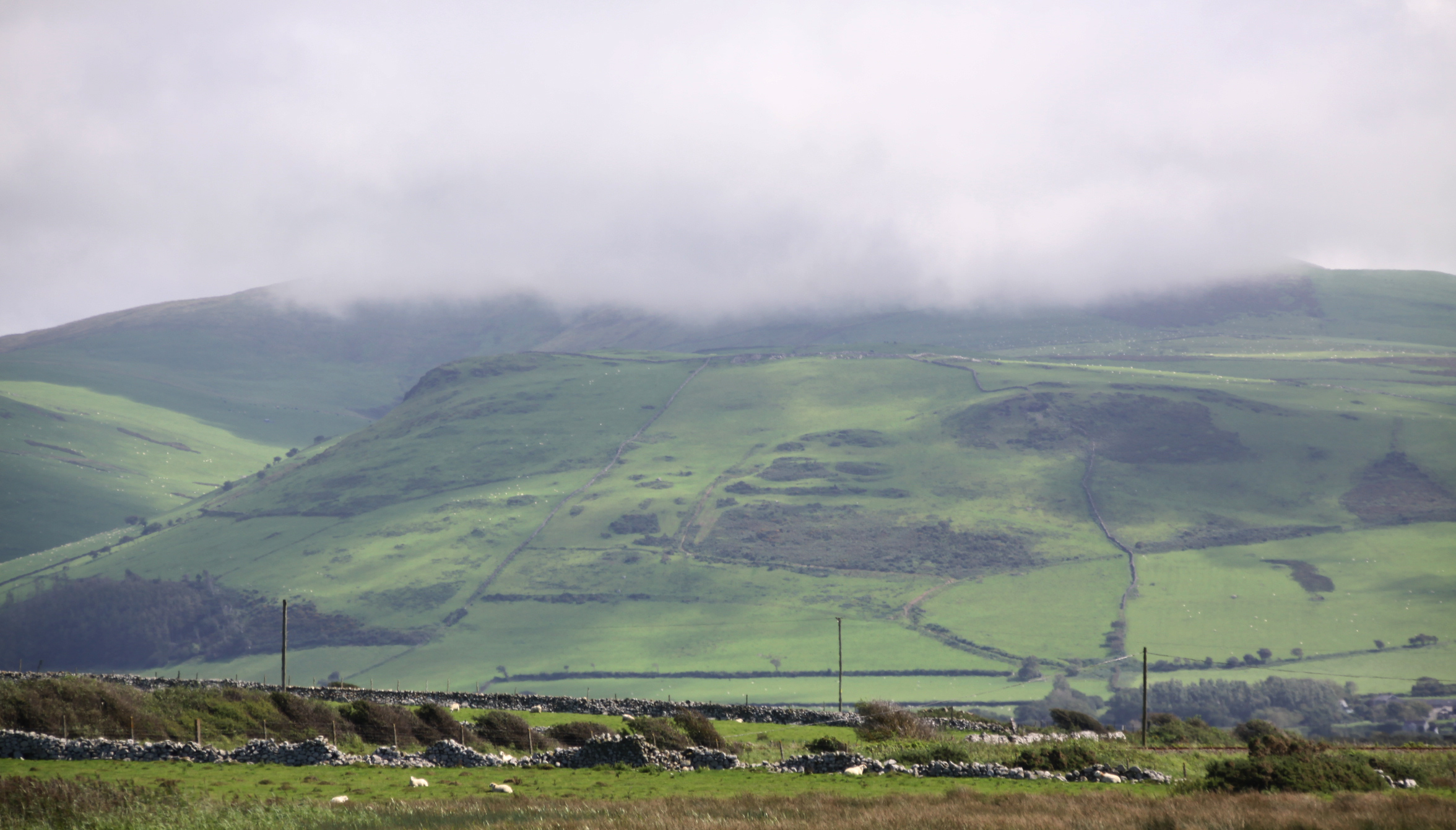
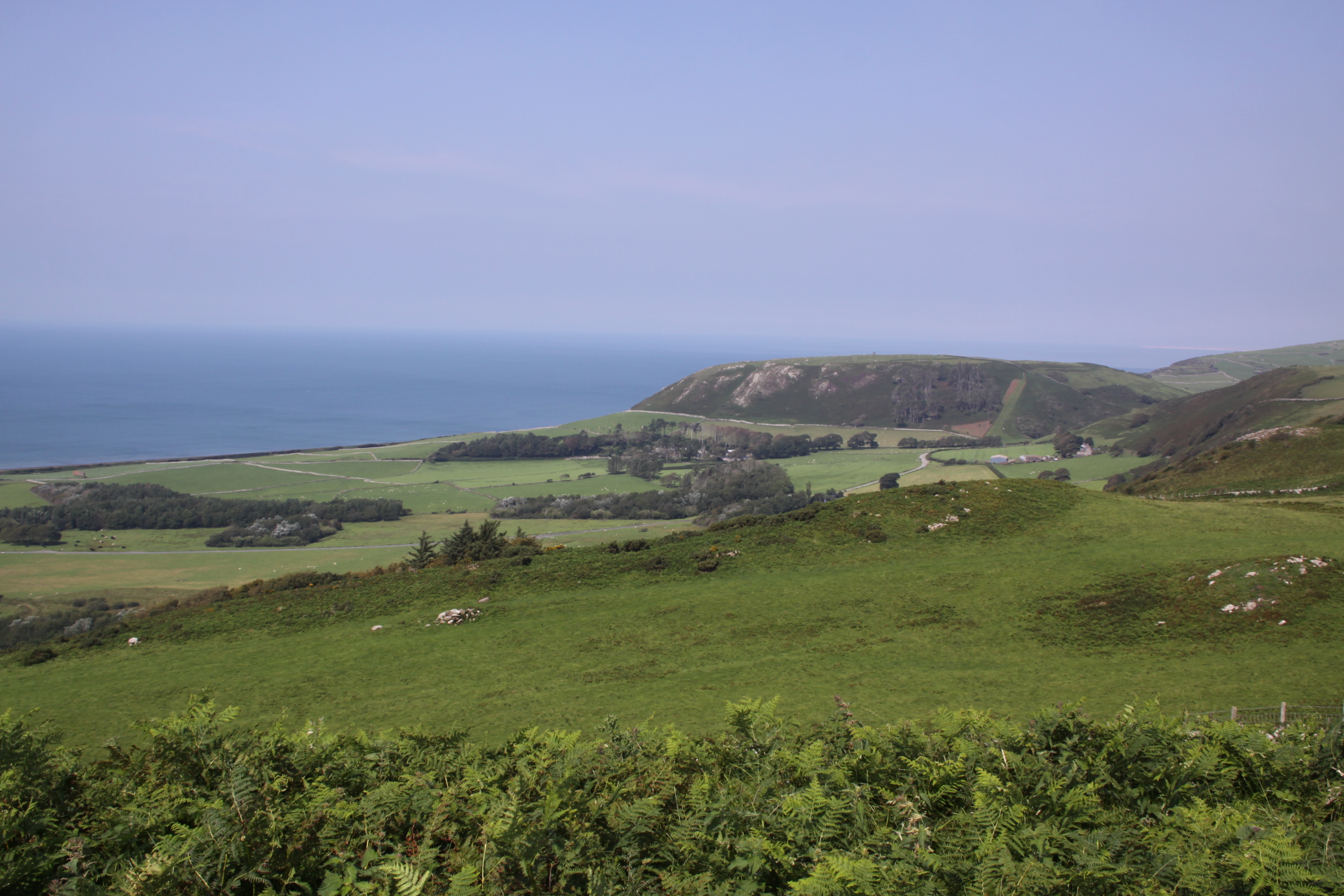
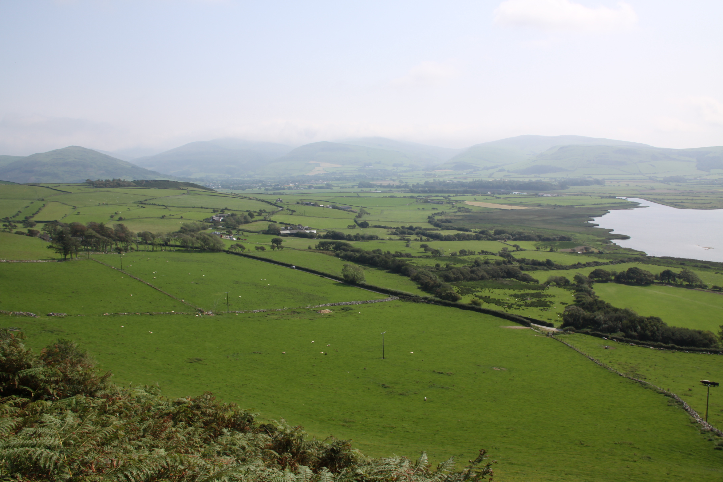
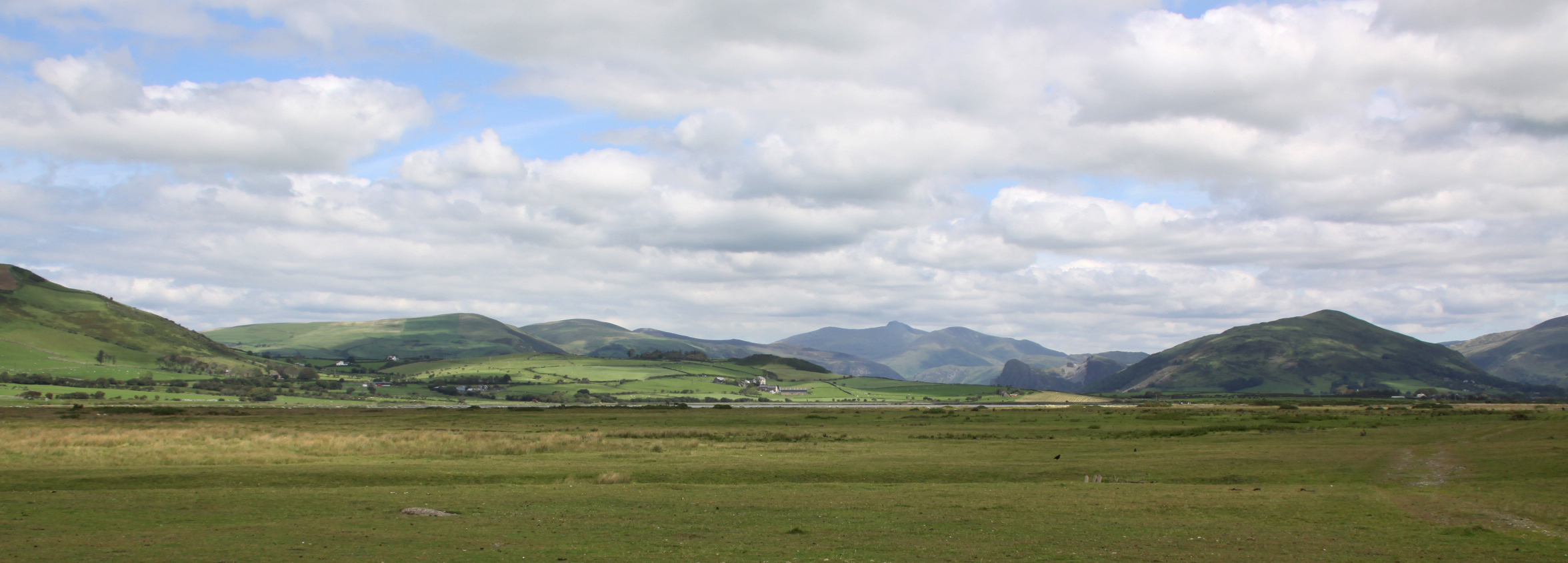
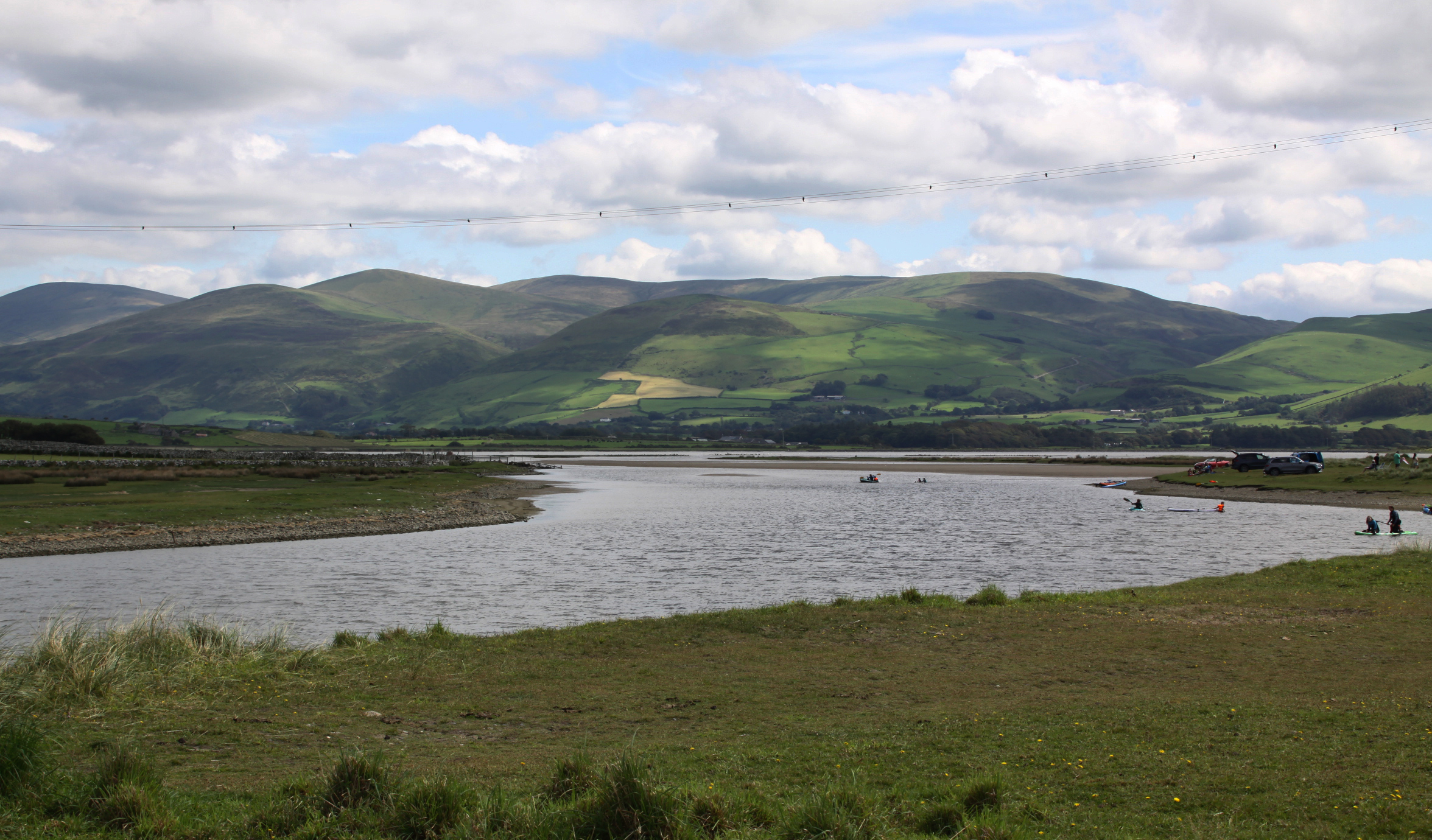
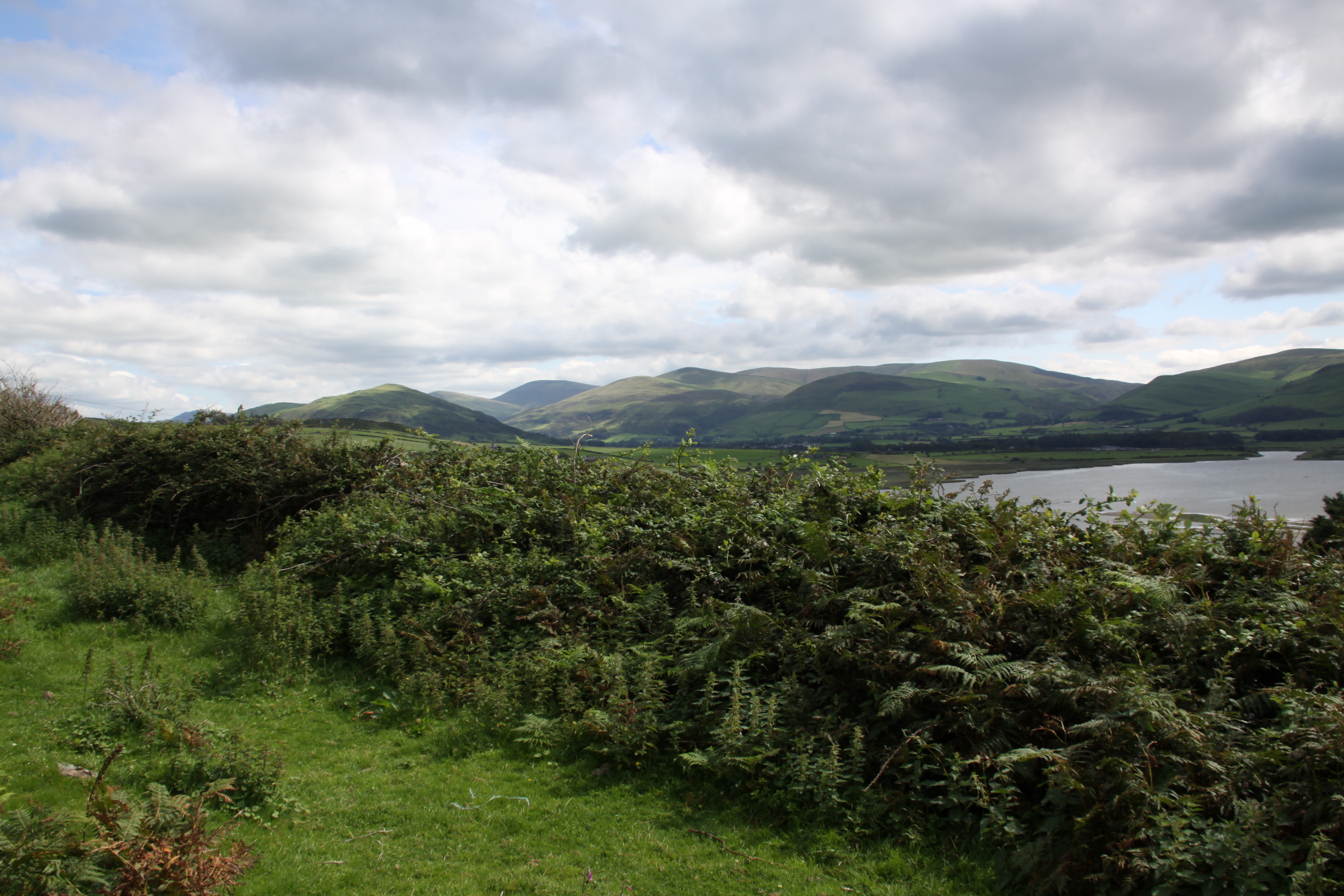
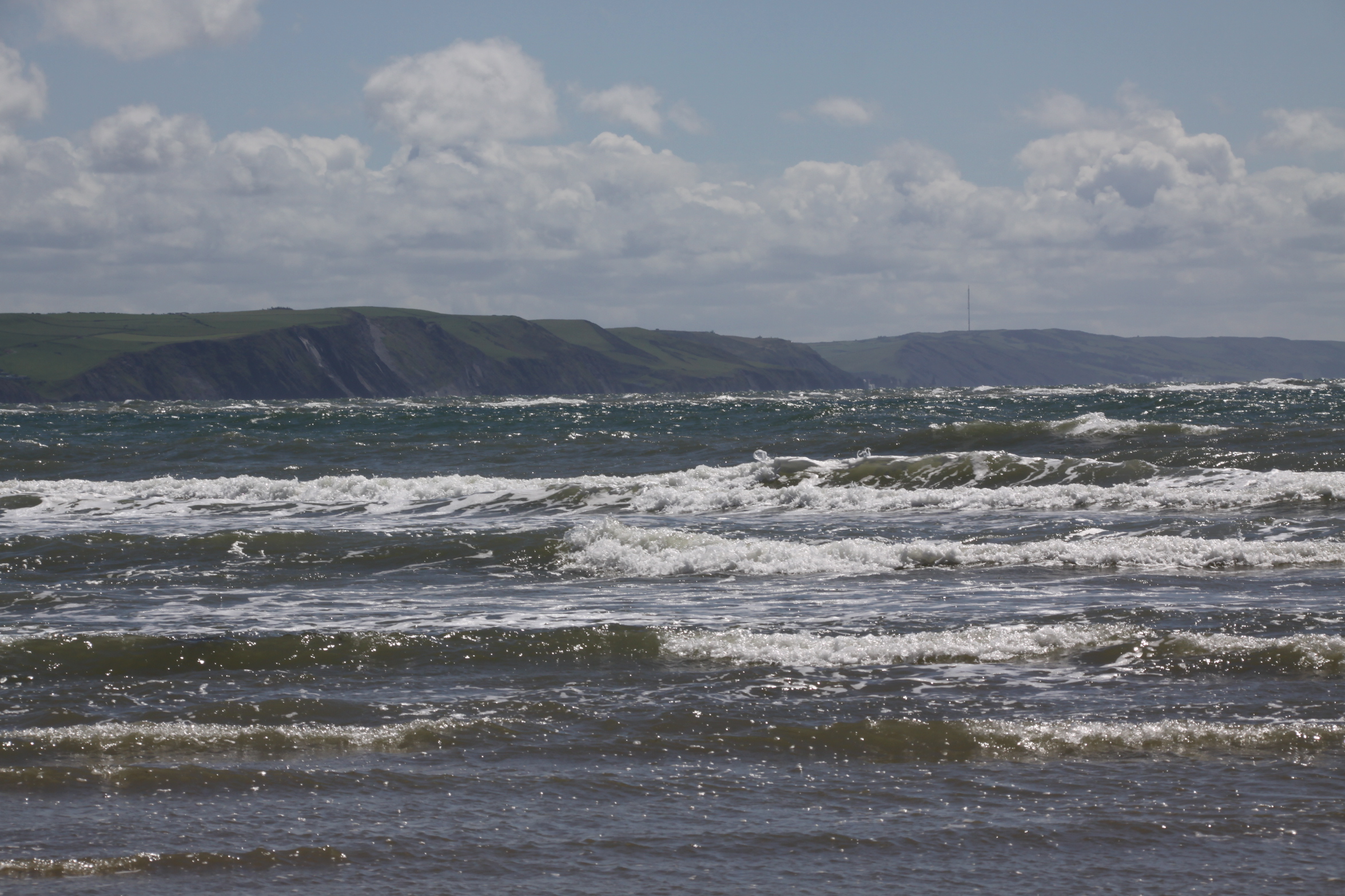
Some more questions arise with an assessment of the views from Castell Mawr. My initial response (other than “wow”) was that from the point of view of keeping an eye on the movements of people across the landscape the potential for observation of any activities in the valley below, coming from east or west, was excellent. The land drops slowly away from Castell Mawr into the valley, and there are superb, wide views across to the north and northeast, across the pass through which the A493 travels towards the hills beyond, with some views towards the west.
View from the Castell Mawr to the west
View from Castell Mawr to the east
View from Castell Mawr to the northeast
View from Castell Mawr to the east

View from the hillfort to the northeast
Looking uphill to the south
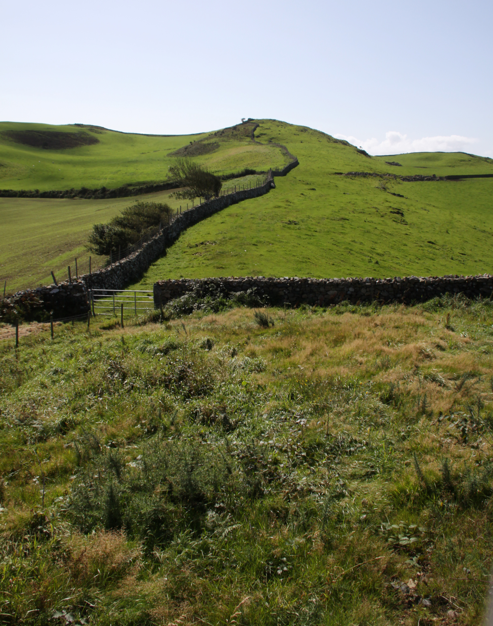
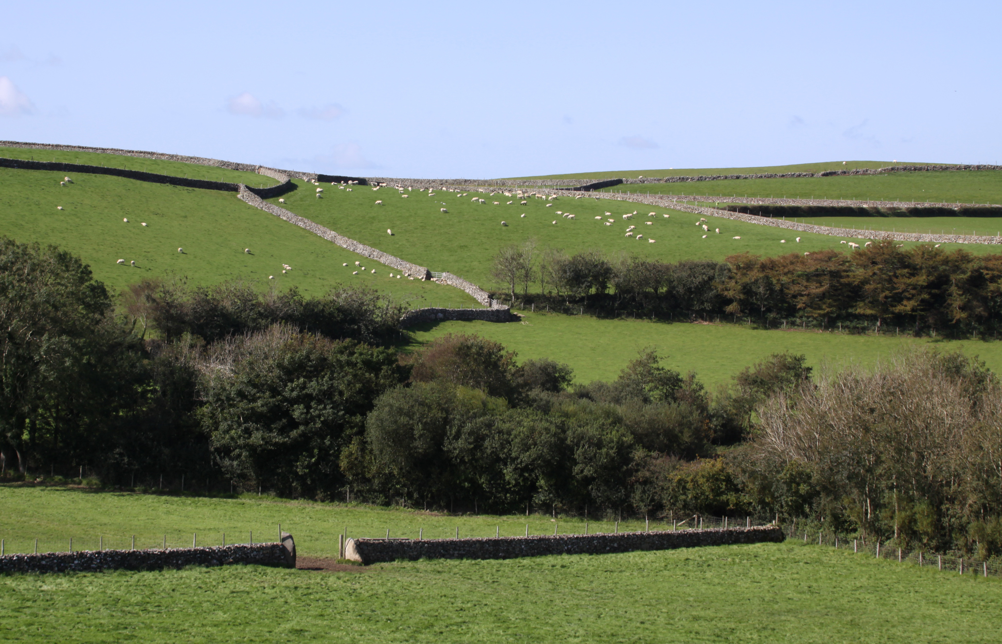
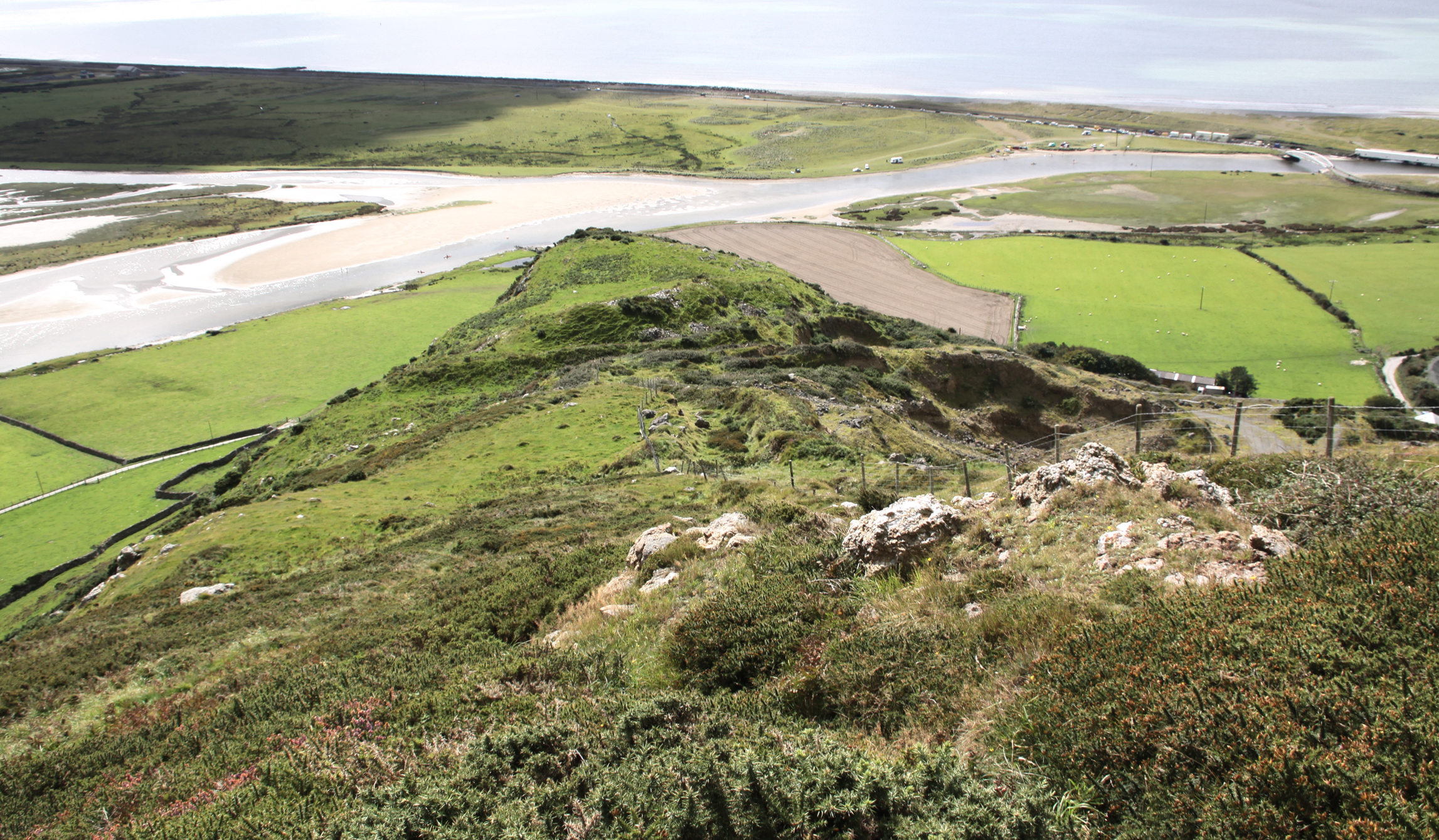
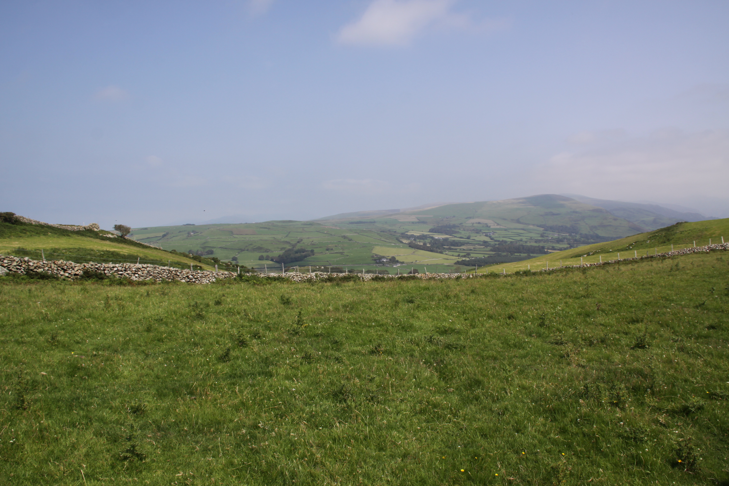
On the other hand, looking back along the ridge to the south, you find yourself looking up to higher ground. From the hillfort it doesn’t look like much of a rise, but as you approach it, it turns out to be a fairly steep slope that has views for miles around. Once up there, you find yourself looking down into the hillfort’s south end, and it is difficult to imagine that the single line of defensive bank and ditch, even with sturdy palisades, would have been much of a deterrent to anyone approaching from this direction. This is the same story at the promontory hillfort Llechlwyd, at the opposite end of the ridge, where a much better positioned site sits on very high, steep slopes and is only vulnerable from the rear, where high ground looks down on it.
Looking towards the hillfort from the south. The rise on the other side of the wall is one of the defensive banks.

A view to the north looking down into the hillfort from the higher ground to the south. As you follow the two converging lines of drystone downhill, the hillfort is on the other side of the section of drystone wall that connects them. The line of stone in the foreground, at the bottom of the photo, seems to be artificial and extends some way to the west, but there is no indication of its date.
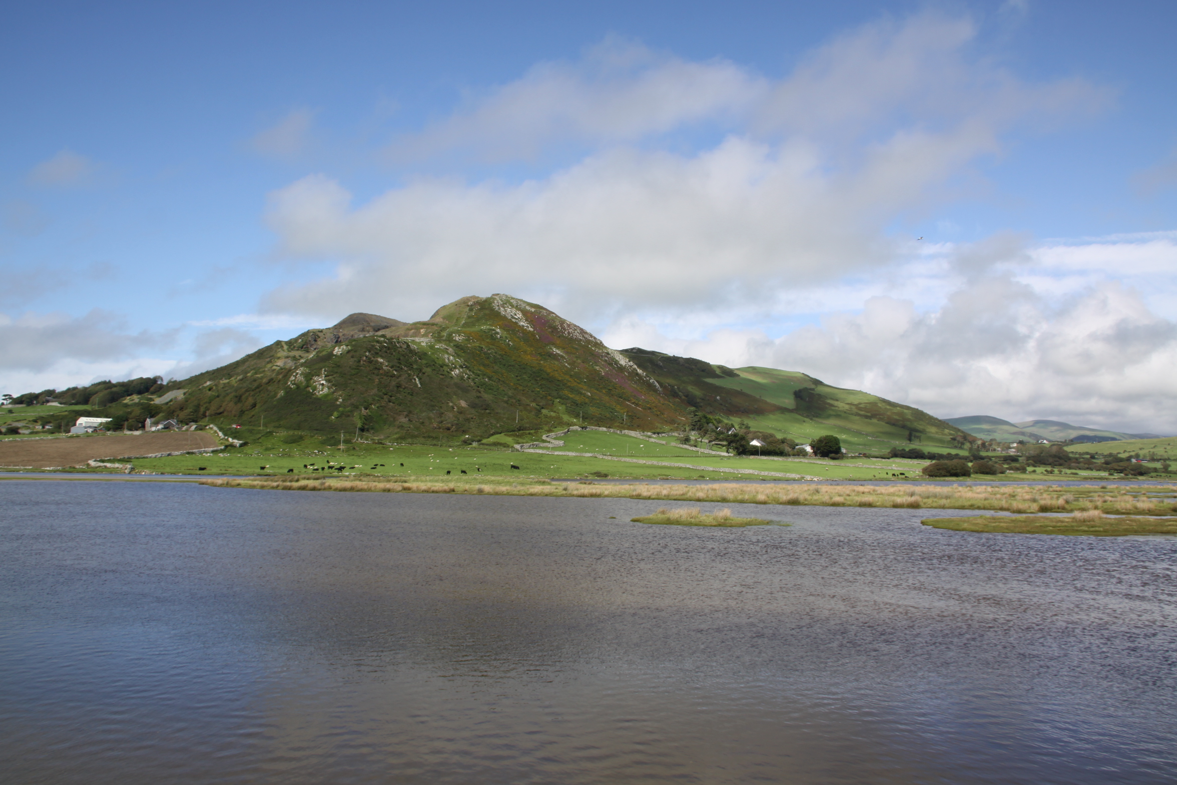
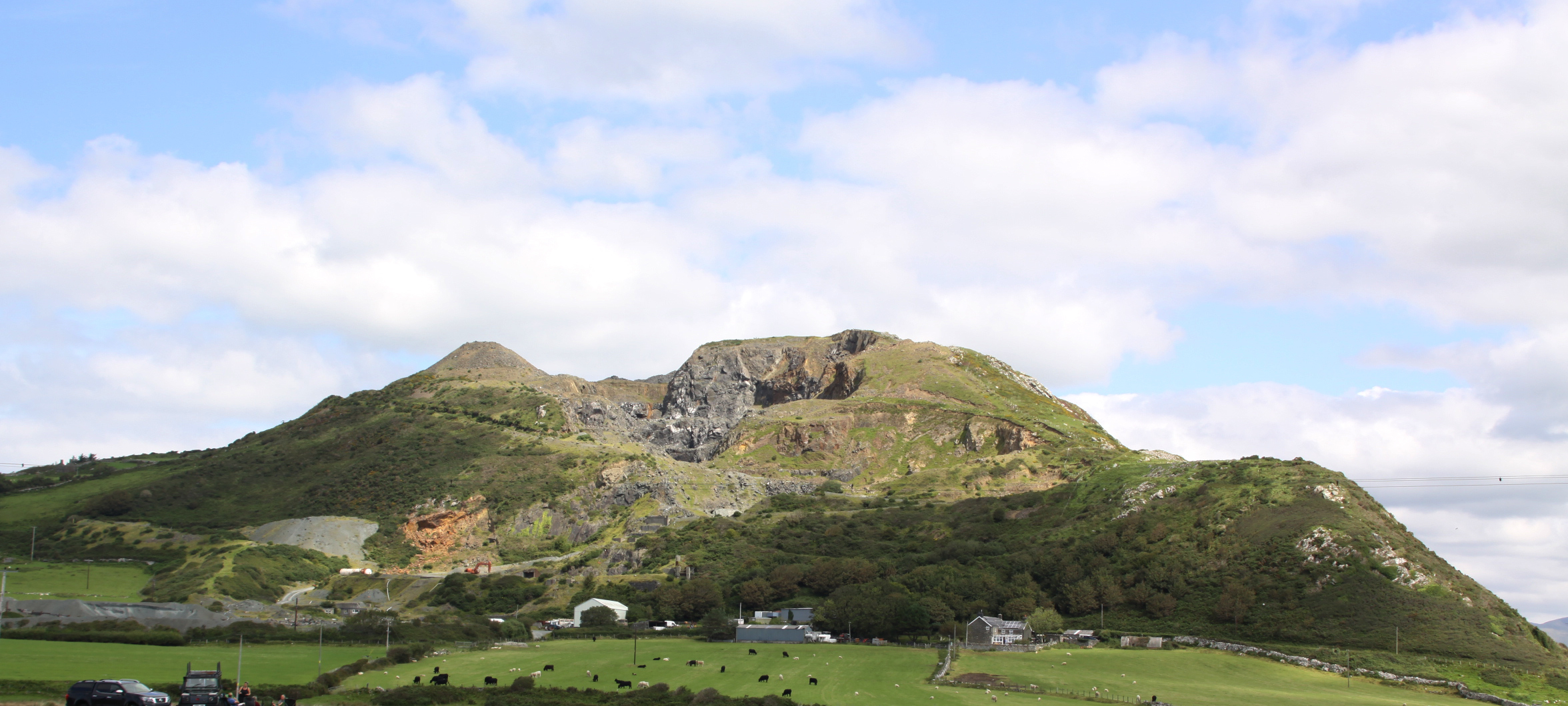
As to other hillforts, this is also interesting. Craig yr Aderyn (Bird Rock) is unambiguously visible to the northeast, overlooking the Dysynni valley, but none of the other known hillforts are visible. Craig yr Aderyn is too far away to be able to see any significant activity unless there were signals set up between the sites.

The distinctively shaped Craig yr Aderyn from the interior of Castell Mawr

Tal y Garreg from the ridge above Castell Mawr.
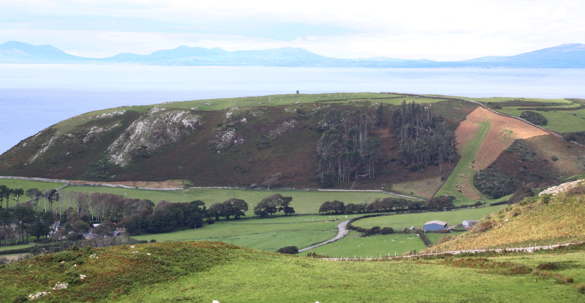
If you want to see either Bwlch or Tal y Garreg, you need to walk a maximum of 10 minutes to the top of the ridge, from which Bwlch, Tal y Garreg and Craig yr Aderyn are all clearly visible. Llechlwyd is not visible from the ridge, because like Castell Mawr, it too is at the bottom of a steep slope at the end of the ridge, but at the opposite end. Bwlch, like Craig yr Aderyn, is too far away to be able to see any significant activity at the site unless there were intentional signals set up between the sites for communication. From the point of view of line of sight to other hillforts, this part of the ridge above Castell Mawr would have been a much better, if much more exposed location (it was very windier than on the Castell Mawr outcrop). On the other hand, the view into the pass below Castell Mawr (perhaps a former river valley) was completely invisible from the ridge, so perhaps the route along valley bottom and its approaches from east and west were the most important factors in the decision to locate the hillfort on that relatively low, rocky outcrop.
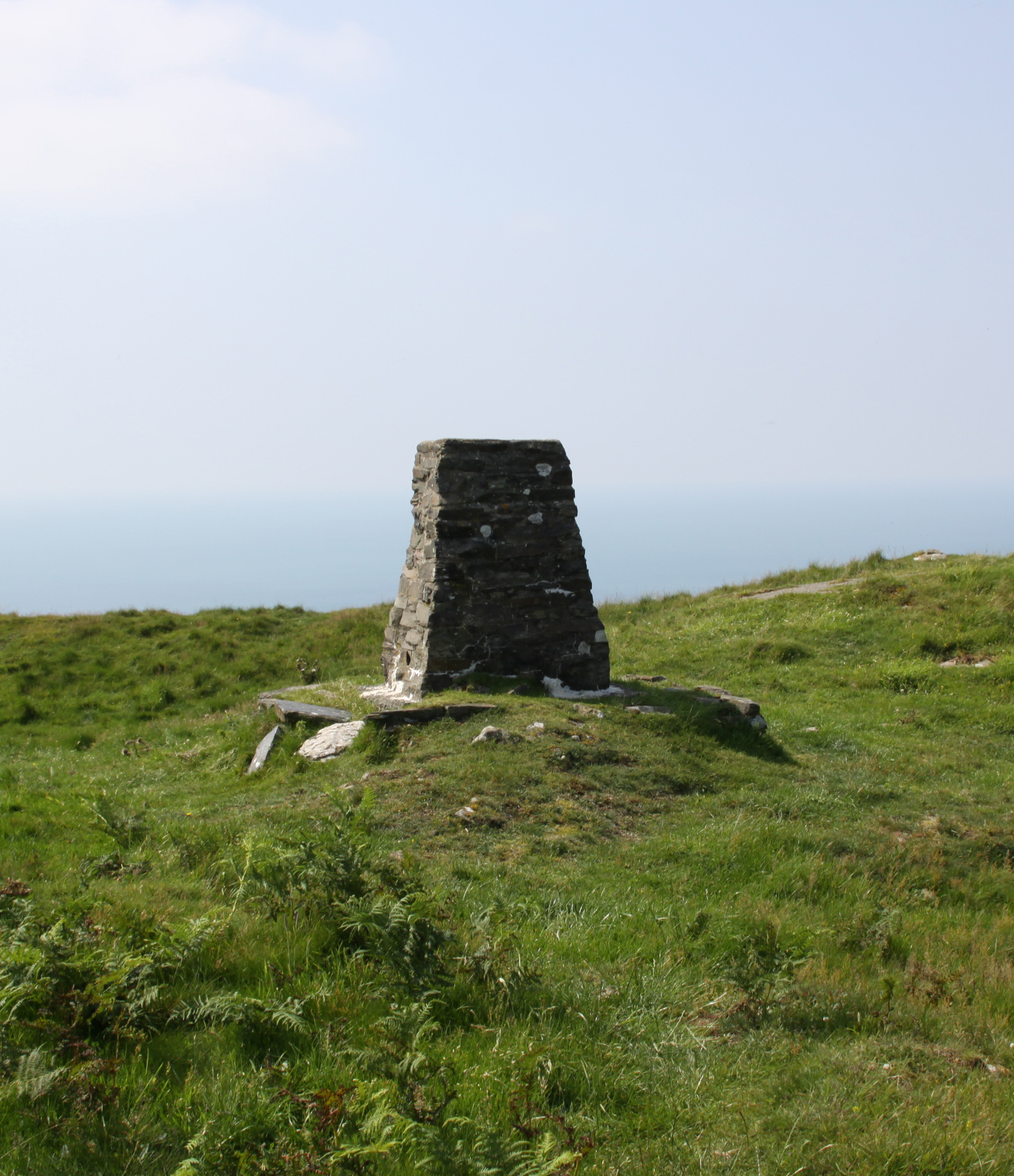
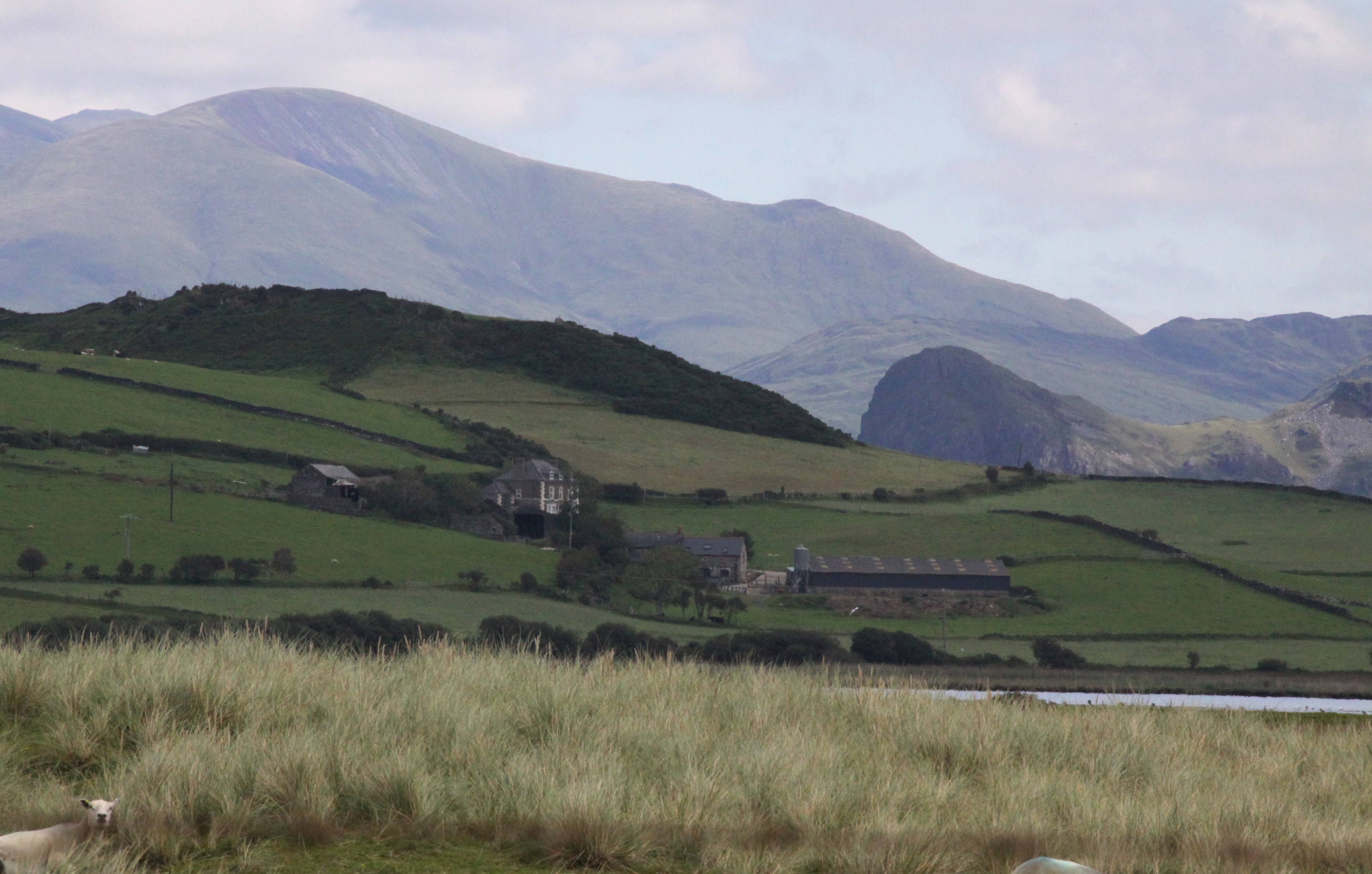
Bwlch, the brown hill in the distance, at right of the photograph, with a trig point just visible on top.
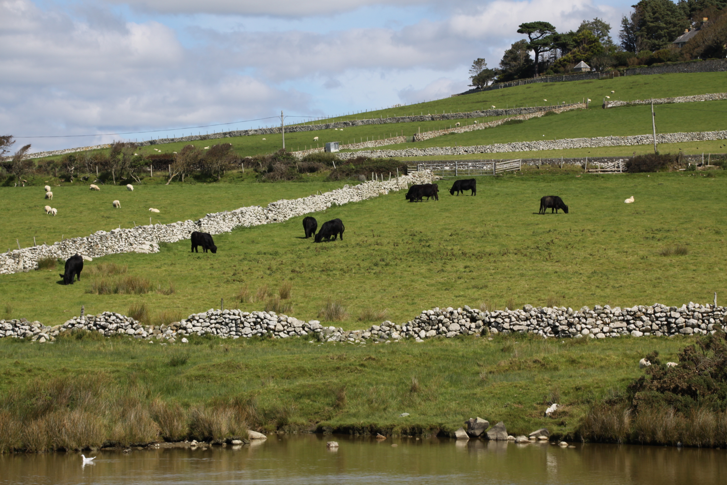
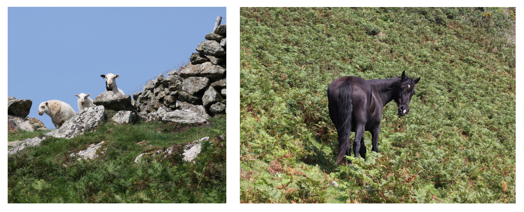
 In my previous two posts about Tal y Garreg and Llechlwyd I have mentioned that no excavations have taken place on any of the Mynydd Garreg hillforts, so it is impossible to establish whether they were or were not contemporary, and therefore whether they had any form of relationship with each other. It is immensely frustrating that speculation is all that’s available right now, but here are a couple of educated guesses. Tal y Garreg and Llechlwyd are at the opposite end of the Mynydd Garreg ridge from Castell Mawr. Tal y Garreg and Llechlwyd overlook the Dysynni broadwater and are so close to one another that if they were contemporary they must have been used together and if they were not contemporary it seems probable that one replaced the other. In either case it is possible that one or both had a relationship with Castell Mawr. They occupied the same ridge but faced in opposite directions overlooking different valleys and landscapes, which would have been invaluable for a joint defensive role as well as for communication and the moving of livestock to markets. The ridge could have been used both for for livestock herding, as it is today, as well as driving eastwards, and the annex at Castell Mawr might have been used for rounding up sheep, cattle and/or horses.
It is also possible that they were in conflict with each other. The most substantial defences of Castell Mawr are to the south, which could have been against an incursion from the Tal y Garreg end of the ridge, and Tal y Garreg similarly made impressive use of a rocky outcrop to raise itself above the level of the ridge in the direction of Castell Mawr.
Oh for a bit of subsurface clarification and a few radiocarbon dates!
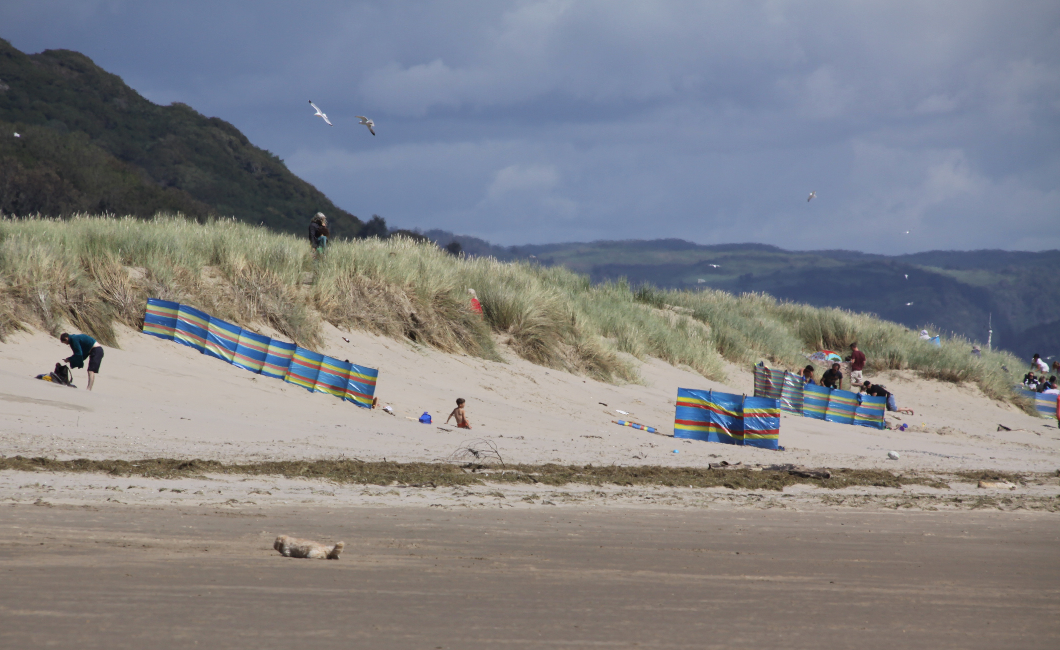
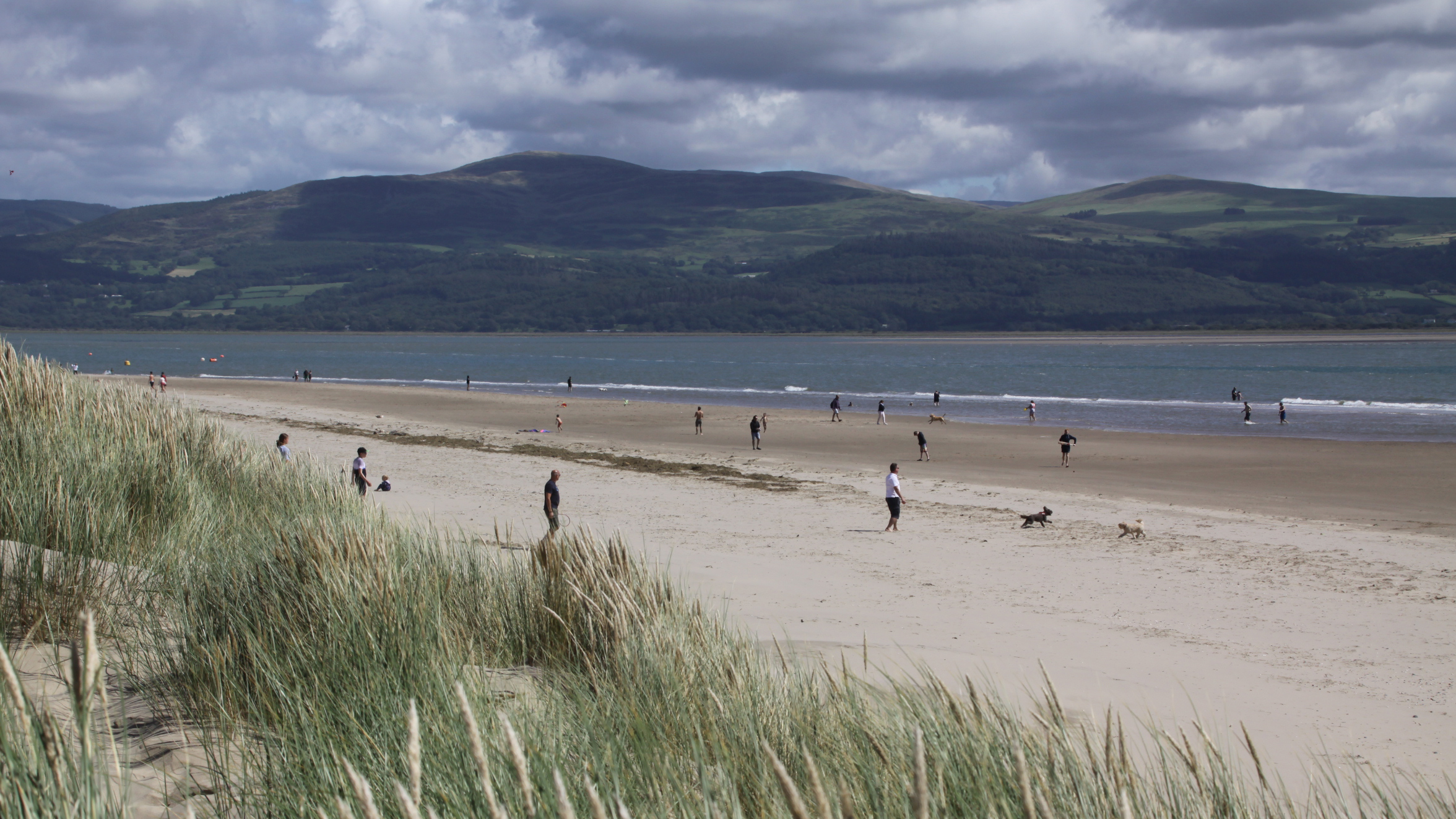
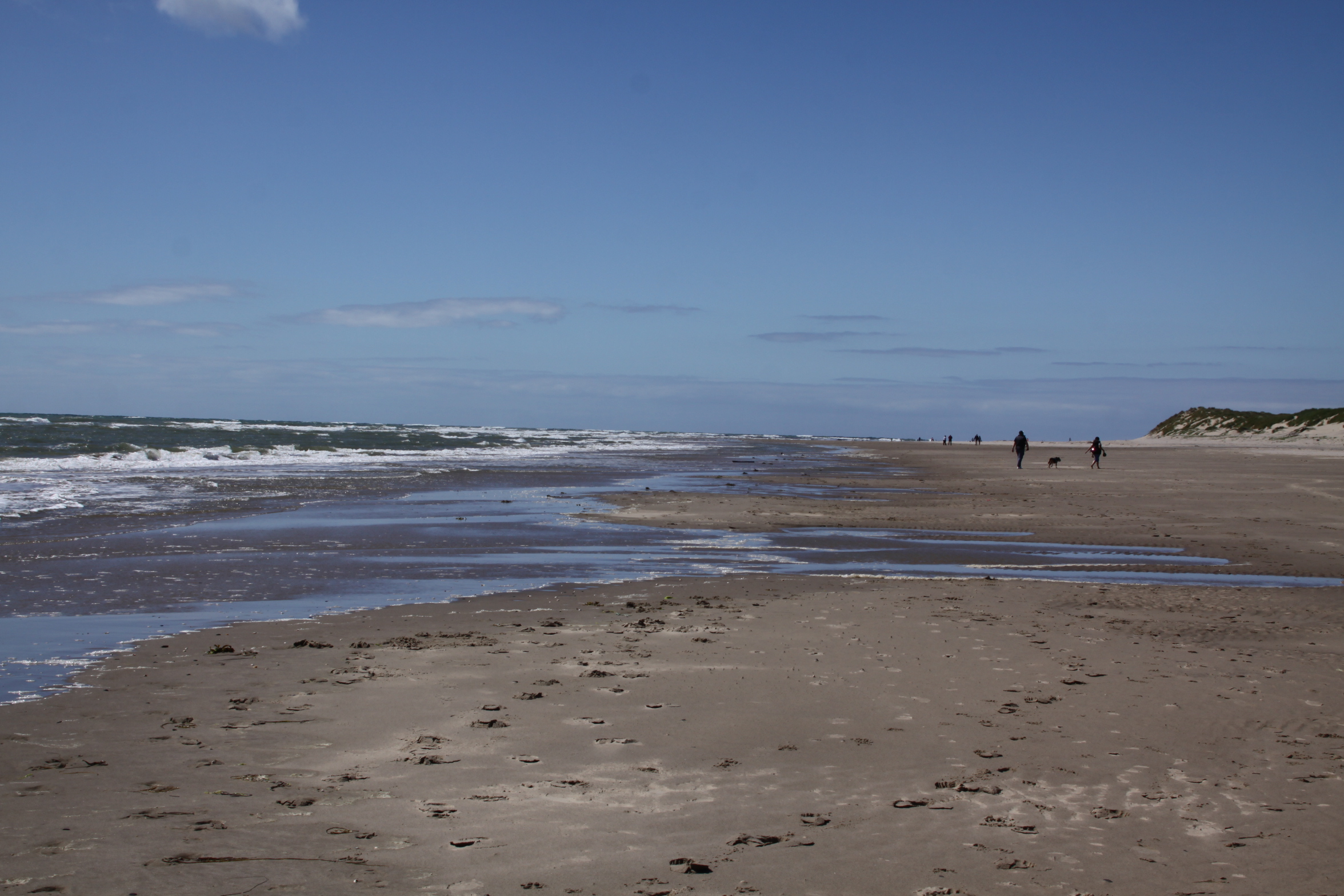
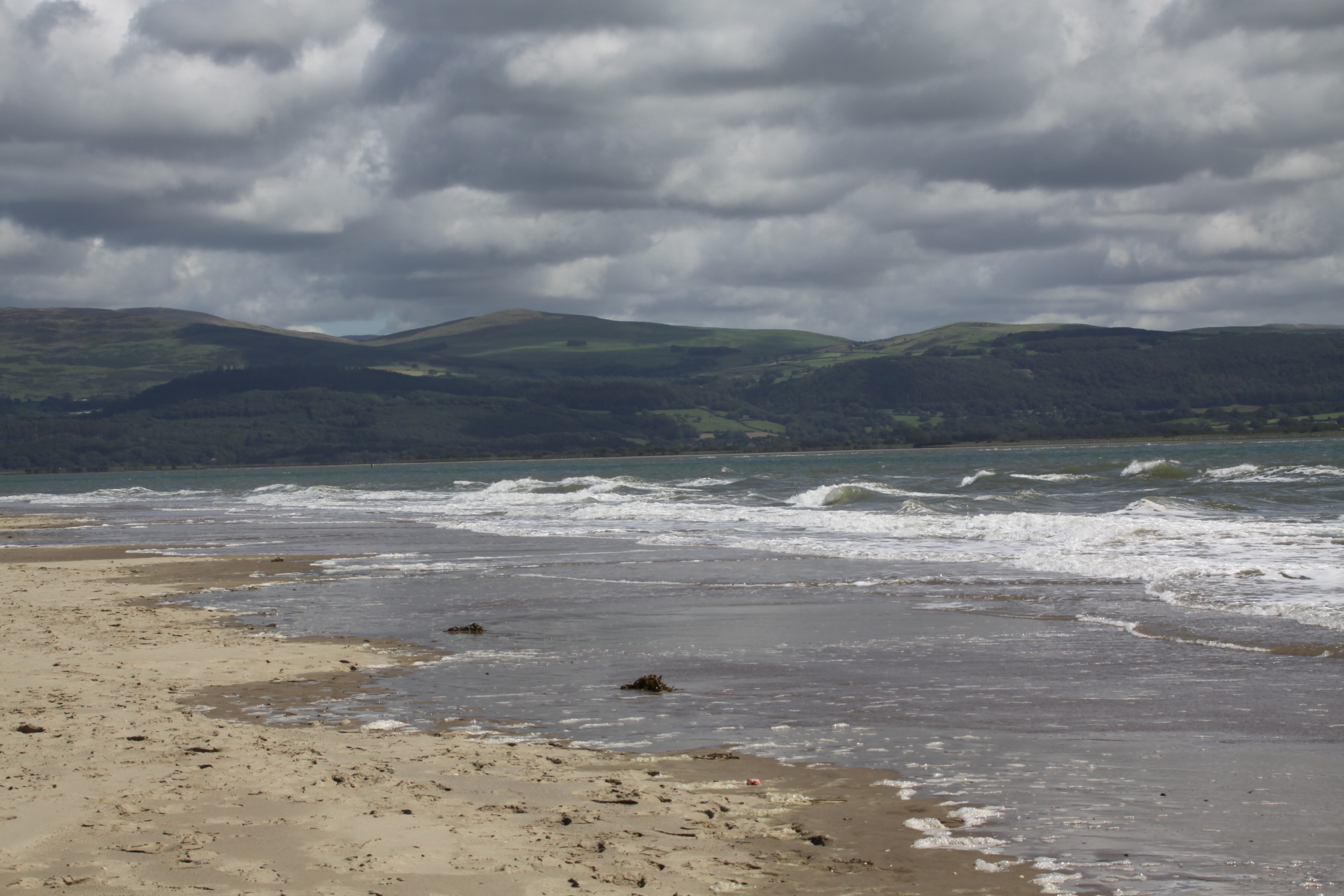
More views from Castell Mawr:
Sources:
Bowen, E.G. and Gresham, C.A. 1967. History of Merioneth, volume 1. From the earliest times to the Age of the Native Princes. The Merioneth Historical and Record Society.
Gwynedd Archaeological Trust 2009. A visitor guide to the main Iron Age hill forts of Meirionnydd. Project No. G1770. Report No. 839
The Royal Commission 1921. An Inventory of the Ancient Monuments in Wales and
Monmouthshire: VI. – County of Merioneth. His Majesty´s Stationery Office
https://tinyurl.com/y3a8yhtc
Sjöberg, K.S. 2014. Hidden possibilities. Possible uses of hillforts in southern Gwynedd, north-west Wales. Unpublished Masters thesis, Uppsala University, Department of archaeology and ancient history. http://www.diva-portal.org/smash/record.jsf?pid=diva2%3A799381&dswid=8151
Websites:
Archaeology Data Service
https://archaeologydataservice.ac.uk
Archwilio
https://www.archwilio.org.uk/arch/
Coflein
https://www.coflein.gov.uk/
Gwynedd Archaeological Trust (no date). Historic Landscape Characterisation: The Dysynni
http://www.heneb.co.uk/hlc/dysynni/dysynni2.html


