
Tal y Llyn from the northeast. Source: Coflein, catalogue number C868164
Introduction
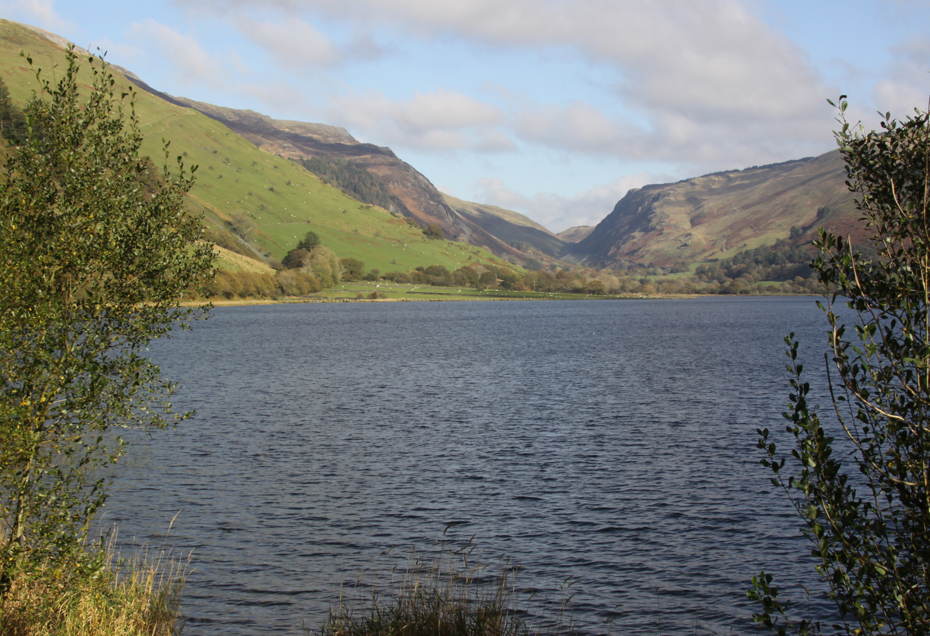
 This post explores why the Tal y Llyn lake and valley look the way they do. This involves investigating its pre-glacial, glacial and post-glacial history to understand how major geological and geomorphological events and subsequent alluvial processes have modified the landscape until it has arrived at what we see today.
When I started writing this, I was going to wrap up this account with details about the human historic heritage of the valley, but there was far too much information to amalgamate into a single post. There turned out to be more to say about the geology and geomorphology than I initially realized. Then, the history of the relatively few buildings surrounding the lake proved to be far more difficult to track than I had anticipated. Finally, the Tal y Llyn slate quarries, in the hills to the east of the lake, also deserve a post of their own. I have therefore separated the story of Tal y Llyn into three parts, and the second and third parts will come at a later date, yet to be written.
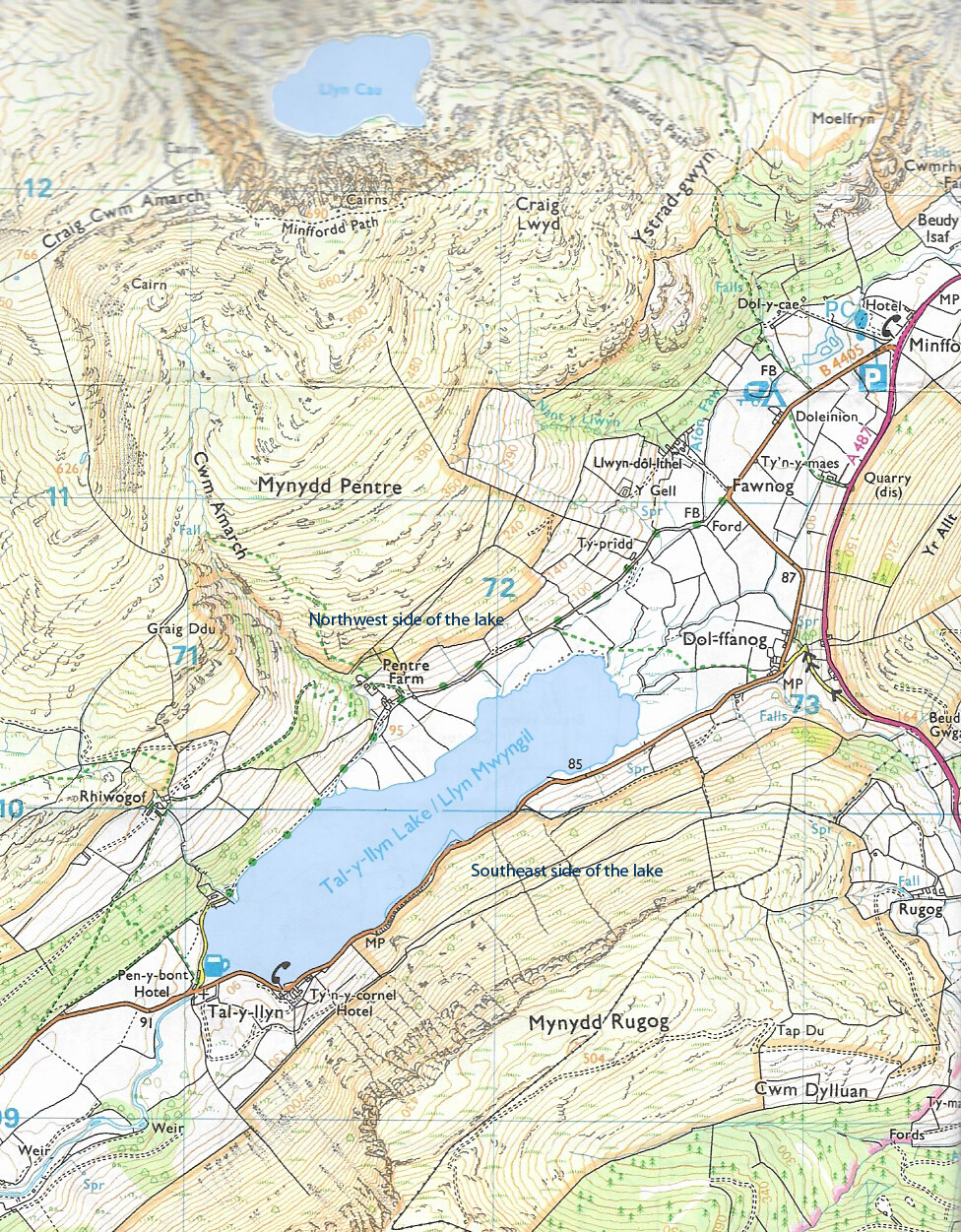
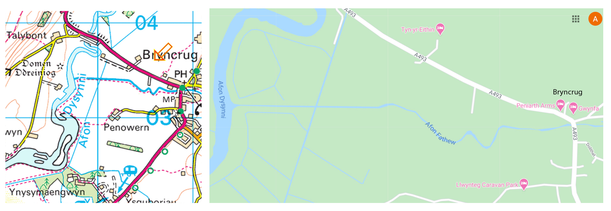
 The OL23 Ordnance Survey map, part of which is shown below, shows the lake’s name as “Tal-y-Llyn Lake / Llyn Mwyngil.” Tal y Llyn means “end of the lake,” which is the name of the cluster of buildings at the southwestern end of the lake. I expect that eventually naming the lake after the buildings was much the same as the situation with the village of Bala, where the lake is often referred to as Lake Bala, when its real name is actually Llyn Tegid. I have no idea what Mwyngil means. My excellent book of Welsh Place-names is silent on the subject, my Welsh-English dictionary is no help, and Google Translate translates it, somewhat bewilderingly, as “Morelil.” I’ve gone with the name Tal y Llyn, just because it is how it is most commonly referred to today.

Tal y LLyn shown on the Ordnance Survey OS23 Explorer map (annotated). Click to enlarge and see more detail.
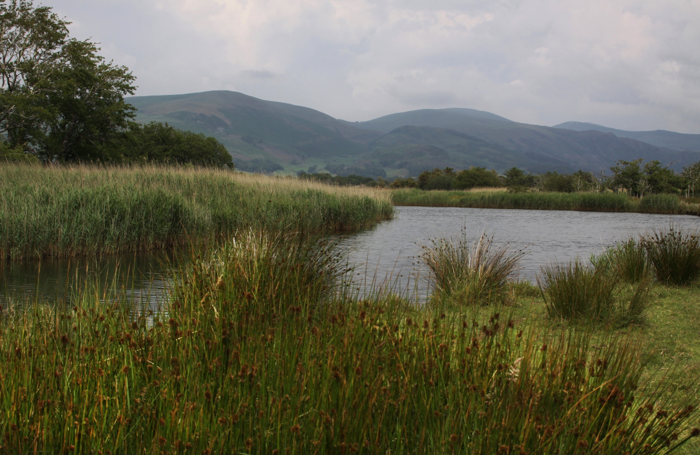
The current form of the valley in which the Tal y Llyn lake sits is primarily the outcome of two great events, millions of years apart. The first is the creation of a major geological fault. The second is the geomorphological action of the last glaciation, the Devensian (c.90,000 – 10,000 years ago). Between them they created the ideal conditions for a ribbon lake. A third impact on the appearance of the valley is alluvial processes that occur when rivers and streams enter the valley, dropping sediment as they enter the lake.
The Bala Fault (Bala Lineament and Tal y Llyn fault)

Photograph showing the line of the Tal y Llyn fault. Source: Coflein, catalogue C867365

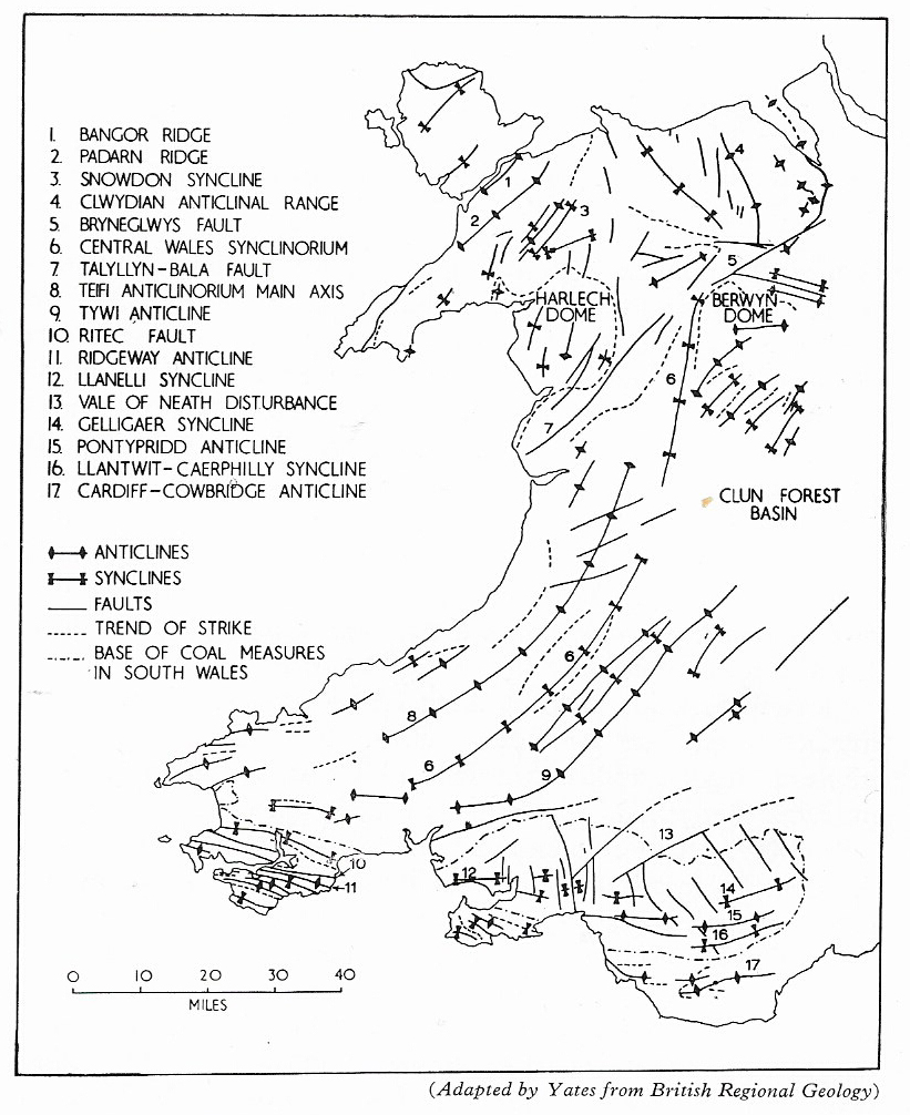
Map of main structural elements of Wales, showing the Bala Fault (no.7). Source: Howe and Thomas 1963, p.xiv
What is often referred to as the Bala Fault extends from Cardigan Bay into the Upper Dee lowland and into the Vale of Clwyd at the Cheshire borders, as the map on the right shows.
Musson says that the Bala Fault is better described as a lineament (a linear feature), consisting of three sub-parallel faults trending northeast to southwest, and consisting of the Bryn Eglwys, Bala and Tal y Llyn Faults, all probably tectonically active for much of Lower Palaeozoic era (the Cambrian, Ordovician and Silurian periods, c.541 – 419.2 million years ago).
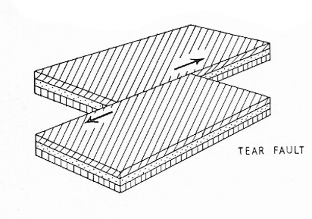
These faults are tear or transform faults and occur when two pieces of the earth’s crust are moving horizontally relative to each other. The resulting faults formed a lineament, a natural line for water to follow. Over time, water courses carved out a series of valleys along the Bala lineament.

Tear/Transform Fault. Source: Howe and Thomas 1963, p.3
Howe and Thomas (1963, p.4) say that strata on the southern side of the fault have moved horizontally towards the east for a distance of about two miles. This is particularly visible at Llanwychllyn, at the foot of Lake Bala. The Bala lineament is easily traceable on an Ordnance Survey map. The faults of the lineament separate the Snowdonia-Arennigs-Rhinog group of mountains from the Cadair Idris-Aran-Berwyn group.
The only coherent account I have managed to find of the fault, in spite of looking through various books and papers, is the following from Wikipedia. There is, however, no indication as to where the author of the piece acquired the information, so although it sounds plausible, it is unverified at the moment. I will update the post if I find more information:
The fault is thought to have initially formed during the opening of the Iapetus Ocean in late Precambrian times (>541 million years ago) when Laurentia (North America) and Baltica (Europe) separated. As the Iapetus Ocean began to open tension cracks opened in a NE-SW direction parallel to the continental margins. These eventually became the Bala Valley, the Menai Straits and the valley at Church Stretton along the line of the A49. Between the Menai fault and the Stretton fault the land sank, forming the Welsh Basin with the Bala fault possibly forming an underwater escarpment. . . . . The scale of geological movements in the deep past can be seen near Llanuwchllyn where the two sides of the fault would have to be slid back for a distance of two miles to get the geology on either side to line up.
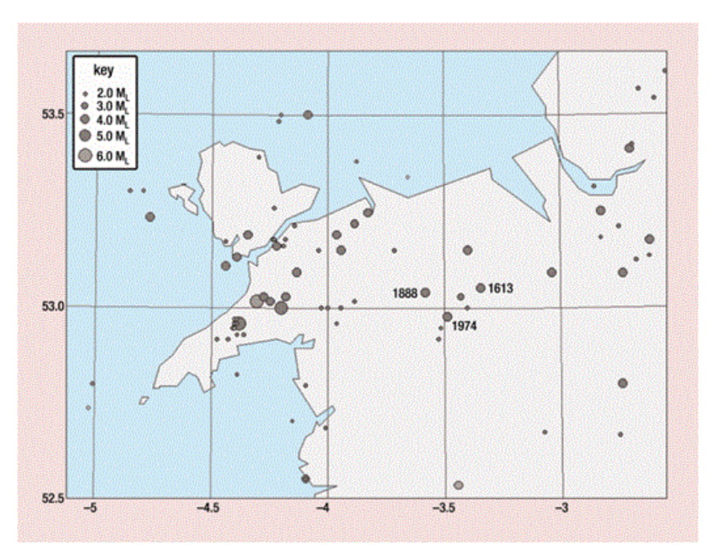
In January 1974 there was a report of a minor earthquake, magnitude 3.5, along the fault at Bala, followed by a more unusual phenomenon known as “earthquake lights.” The earthquake was not particularly unusual. A number of seismic events have been recorded in north Wales since the 1600s. Although the Bala fault was originally suspected as the source of the earthquake, Musson (2006, p.5.15) concludes that “there are numerous north–south and east–west lineaments in and around the plausible epicentral area (as identified by the two instrumental locations and the macroseismic epicentre) and any of these could be the host feature for the Bala earthquake. . . . Consequently there is no evidence at present that the
Bala Lineament is active in any neotectonic sense, and it is unlikely that it would be in present stress conditions.”
The river valley along the Tal y Llyn Fault that preceded the last Ice Age supported a river, but not a lake. Before the last glaciation, the Tal y Llyn valley consisted of interlocking spurs, the river wending its way between them along the line of the fault.
The Glacial Valley
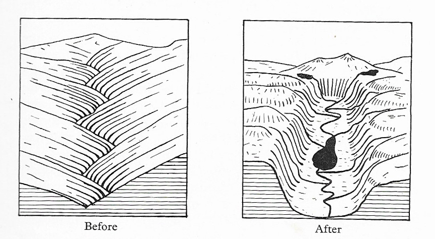
The valley’s appearance is very different today from its days as a pre-glacial river valley, and that’s thanks to the last major cold phase, the Loch Lomond Stadial or Readvance (c.11,000-10,000 years ago) during the last, Devensian glaciation (c.90,000 – 10,000 years ago). Episodes of glaciation are characterized by warmer (interstadial) and colder (stadial) phases, with later episodes frequently wiping out most traces of earlier ones.

River valley before and after glaciation. Source: Howe and Thomas 1963 p.77
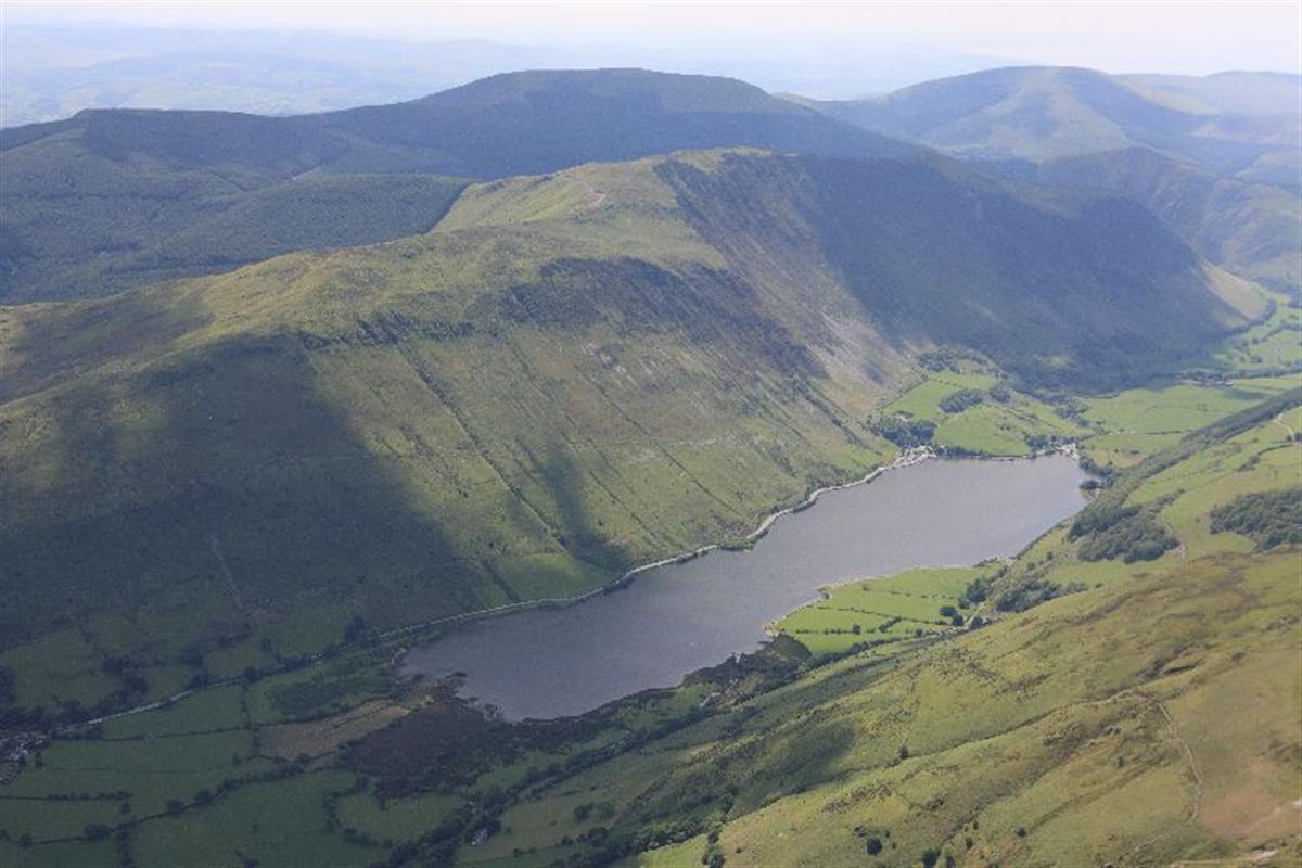
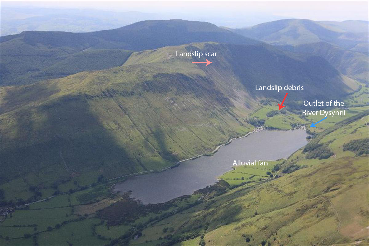
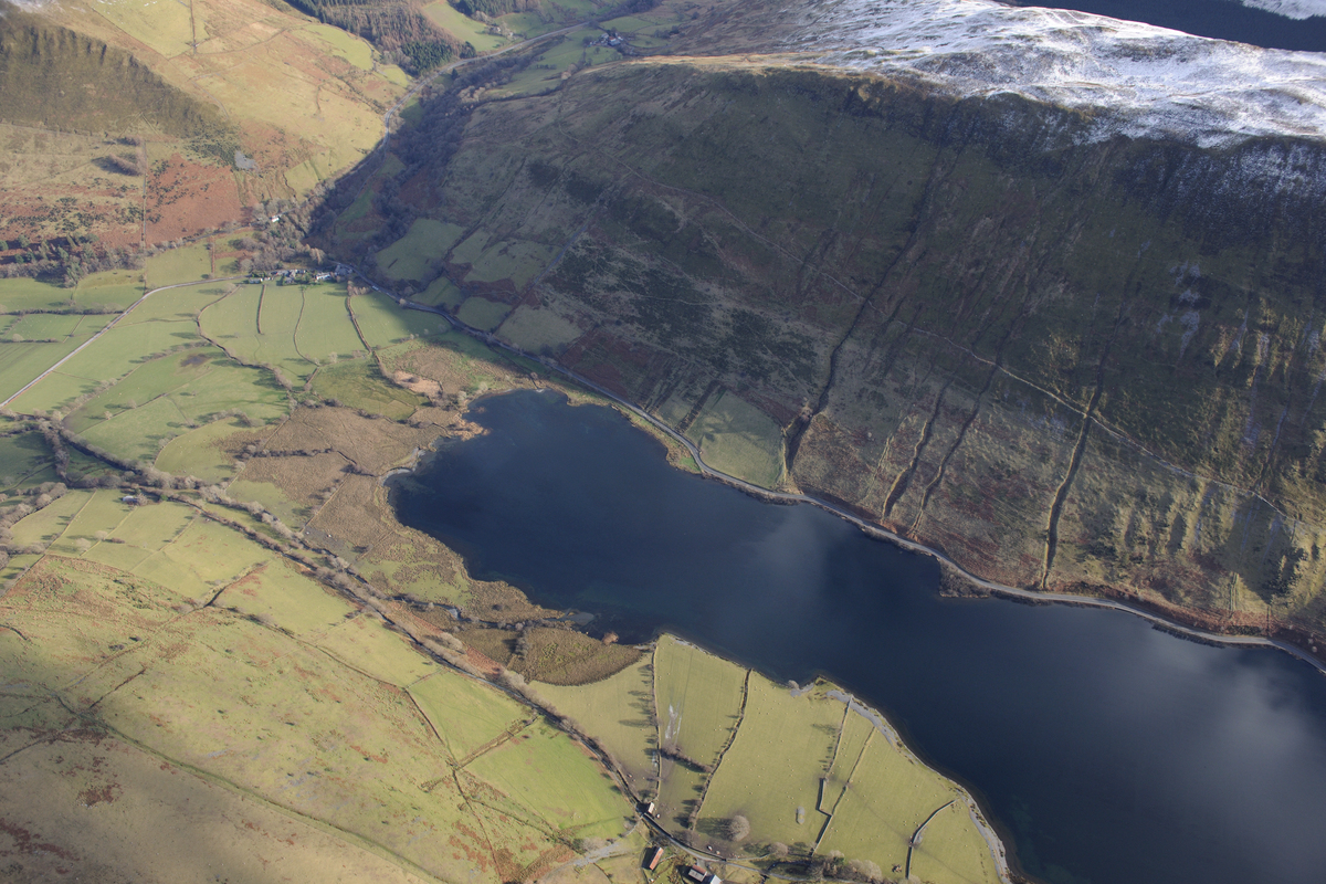
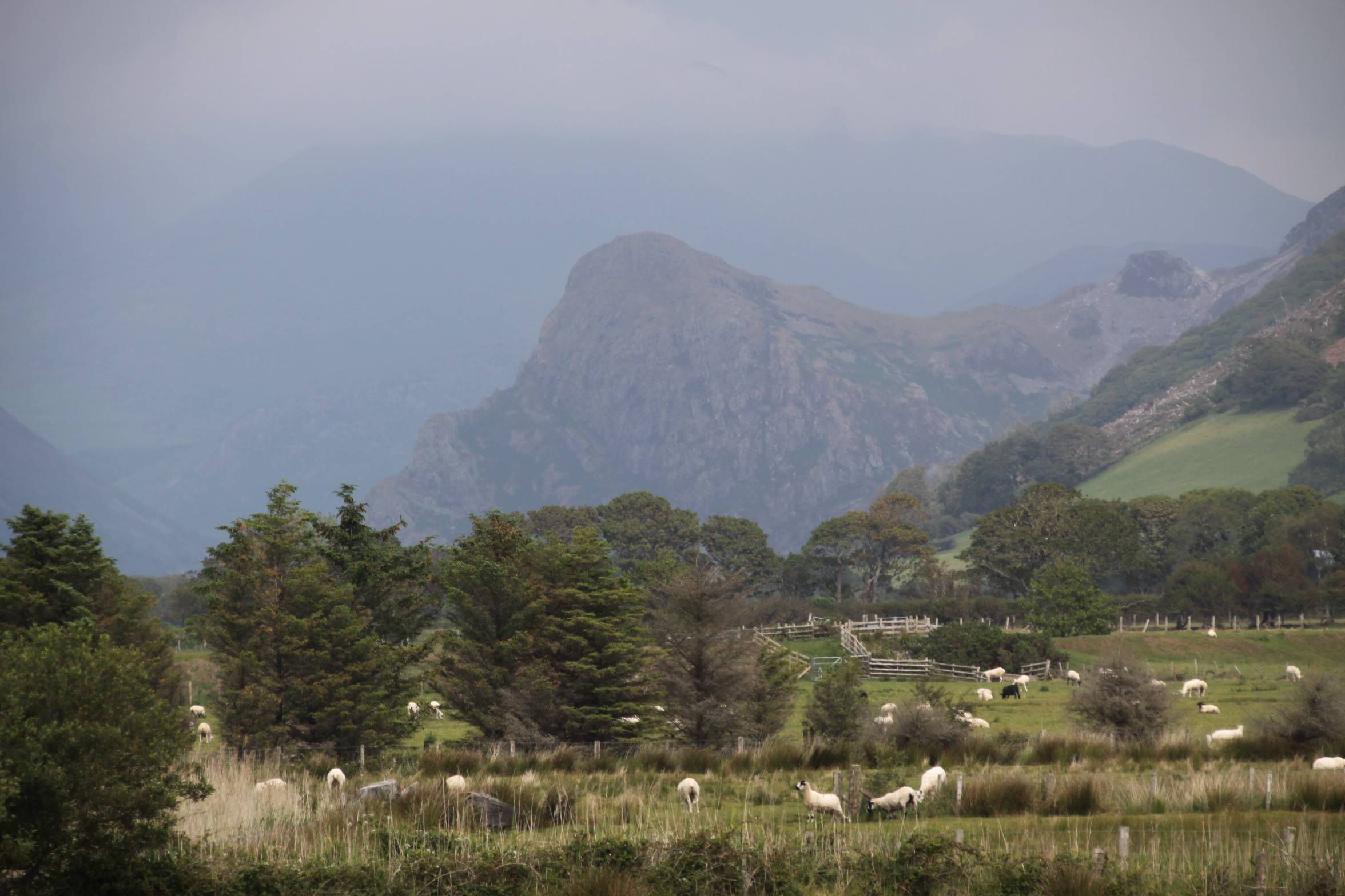
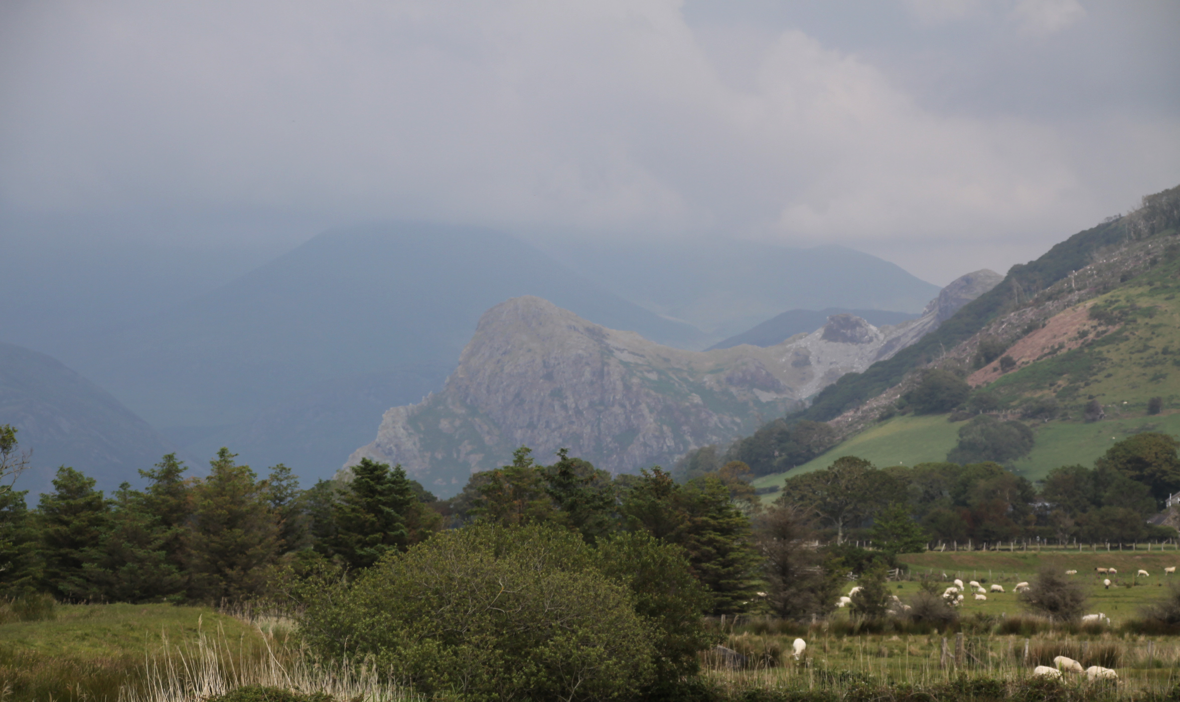
In the case of Tal y Llyn, the late Devensian glacier travelled down the line of the fault, the line of least resistance, and carved out a broadly u-shaped, or more accurately parabolic profile, smoothing valley sides where previously there were interlocking spurs. At the same time it scoured the base of the valley. The erosional impact of the ice on the profile of the valley is particularly stark on southeastern side of the lake, where Mynydd Rugug, Graig Goch and Mynydd Cedris drop steeply towards the lake, the slopes carved dauntingly into a single, flattened profile scarred with steeply dropping streams. This is clearly visible in the photograph below, where the landslip is marked. On the other side of the valley the erosion was less drastic, although still severe, and some truncated spurs are still just visible. At the same time, the abrasive and scouring effect of the glacier, as it carved its way through the valley, lowered the level of the valley floor. Throughout the Devensian, during the summer months water will have escaped the glacier in the form of meltwater, draining down the valley, finding its way across the earlier floodplain.

Photograph of Tal y Llyn, annotated to show the landslip scar and some of the debris that blocked the glacial trough, allowing the ribbon lake to form. Source: Coflein, catalogue number C868164
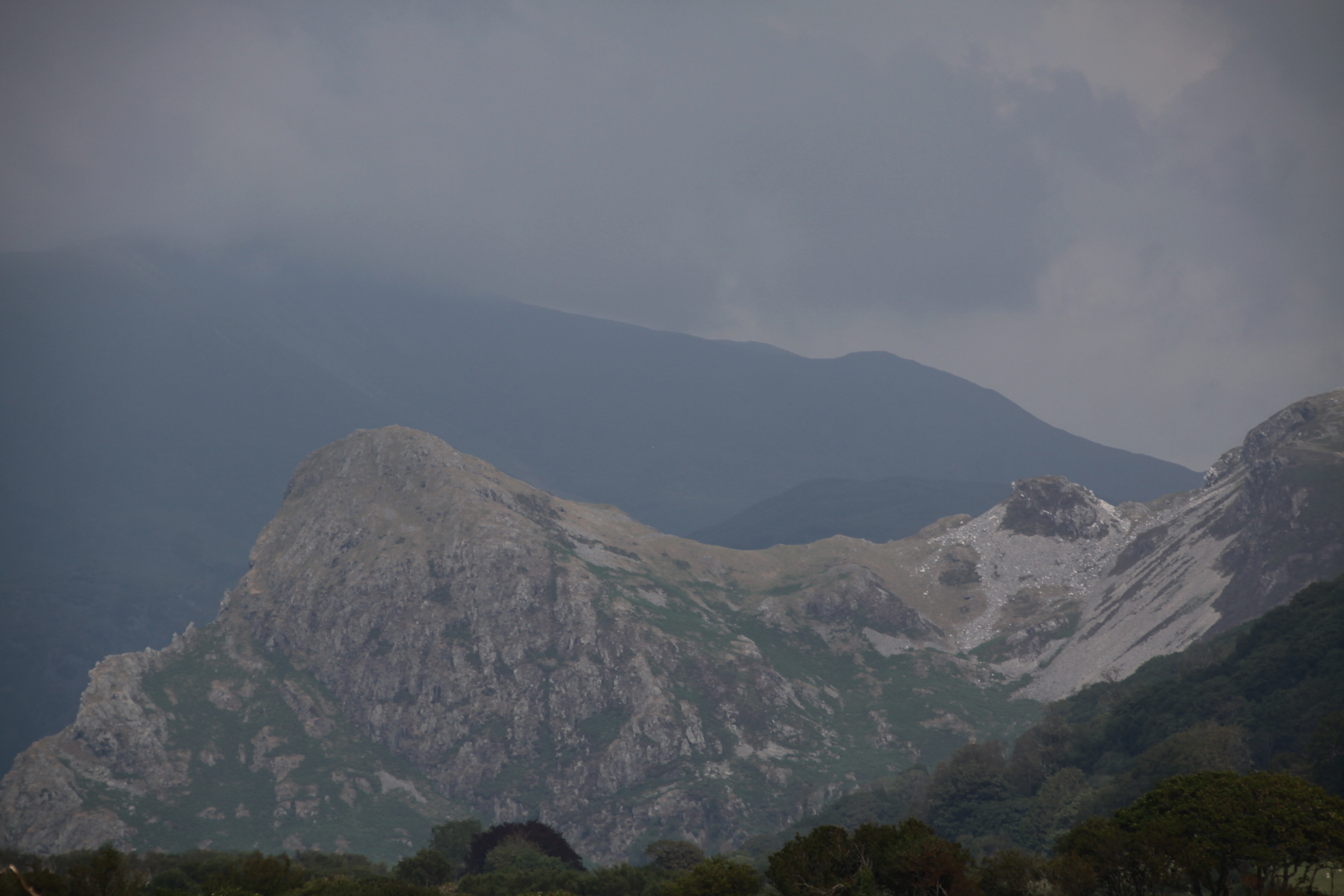
Unlike similar-looking ribbon lakes much like many of the Lake District lakes (e.g. Windemere) and Scottish lochs (e.g. Loch Lomond, which also sits on the line of a geological fault), Tal y Llyn does not sit in a conventional glacial trough in a rock basin, but was formed due to its southwest end being blocked. A post-glacial land slippage deposited huge blocks of material from the southeastern hillside at the foot of the lake into the valley bottom. There it formed a barrier where the lake now ends at the Pen y Bont hotel, described by Shakesby as “neither of bedrock nor of moraine, but of a huge mass of fractured and disarranged blocks” (1990, p.64). This was discovered by Watson in the early 1960s, and described by him as follows:
In the part of the bar north-west of the river, the surface is moundy, but smoother and in clean pasture except for gorse patches on the mound summits. There is almost everywhere a complete turf cover but immediately underneath, on each mound top, are closely packed angular mudstone fragments similar to the debris found immediately overlying rock. That the smooth fields could lie on rock is proved by the road-side exposures north-west of the church. Occasional scars on tracks show rock or angular rock debris while three shallow pits dug to a depth of 18 inches showed the same rock debris on the slope bounding the bar to the south-west. On the slope behind Maes-y-pandy Farm, rock with varying cleavage direction is exposed.
As Shakesby’s comment above suggests, until Watson’s 1962 paper in the Transactions and Papers of the Institute of British Geographers, this blockage was incorrectly thought to have been either bedrock or a terminal moraine (debris pushed by the leading edge of the glacier, and dumped when the glacier stops moving forwards), or both. The landslip left an enormous scar above the scree and rockfall, above the foot of the lake, which according to Shakesby was caused by the retreat of the glacier, “leaving the valley sides, over-steepened by glacial erosion, in an unsupported condition prone to collapse.” The Tal y Llyn lake formed behind this landslip barrier.
There is extensive periglacial activity at the head of the lake, where extensive broken rocks rest on bedrock, accompanied by extensive scree. Periglaciation is the process whereby areas under ice are subjected to successive phases of warming, thawing melting and re-freezing, which causes cracks in the rock. Eventually the cracks cause rocks to break away and drop towards the valley bottom.
Hanging valleys, fast streams and alluvial build-up
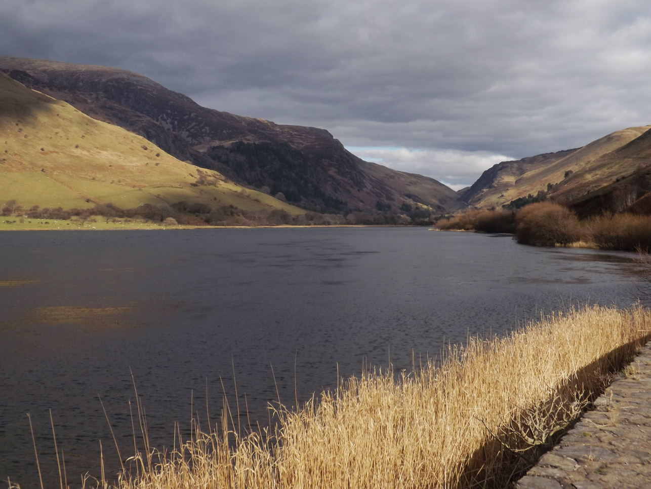
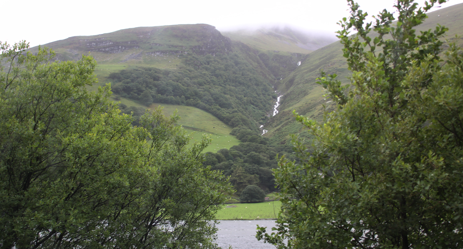
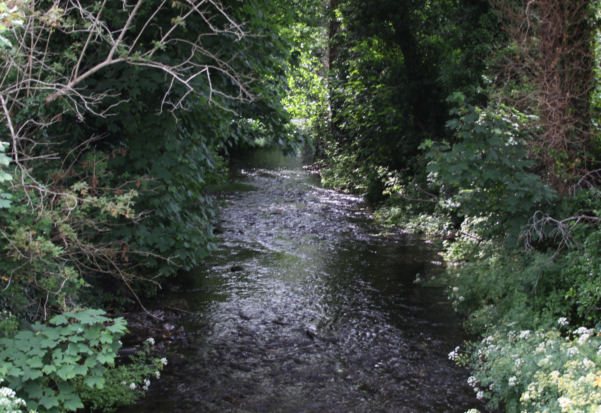
Tal y Llyn is a form of ribbon lake 220 acres in surface area, with an average depth of 8ft (c2.5m) and maximum depth of 12ft (c.3.6m). The head of the lake is fed by a number of smalls steams fed by the flanking slopes. The main streams that feed the lake are Nant Yr Allt-ioen, which travels along the valley below the A487 where it runs through the Tal y Llyn pass; the Nant Cadair stream that runs out of Llyn Cau on Cadair Idris, dropping steeply to the valley floor; the stream and waterfall that flows down Cwm Amarch, above Pentre Farm on the northeast side of the lake; and Nant Cildydd, and another small stream from the east. There are two stream emerging from a freshwater springs, almost opposite each other at the far northeast and northwest of the lake.

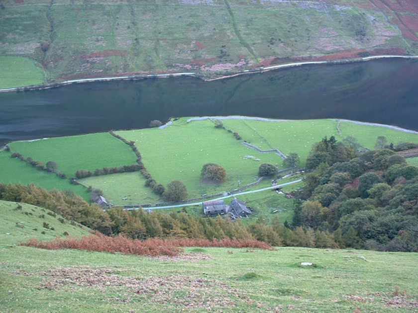
A stream plummeting down Cwm Amarch, above Pentre Farm, on the northeast side of the lake on a very rainy day in late June 2020

The main streams feeding into Tal y Llyn, showing a footpath that crosses all of the major streams. Source: GPS-routes.co.uk

Tal y Llyn northwest end of the lake, showing how the build up of sediment has been converted into fields, and showing a patch of brown where boggy marsh meets the lake. Source: Coflein, catalogue C650435
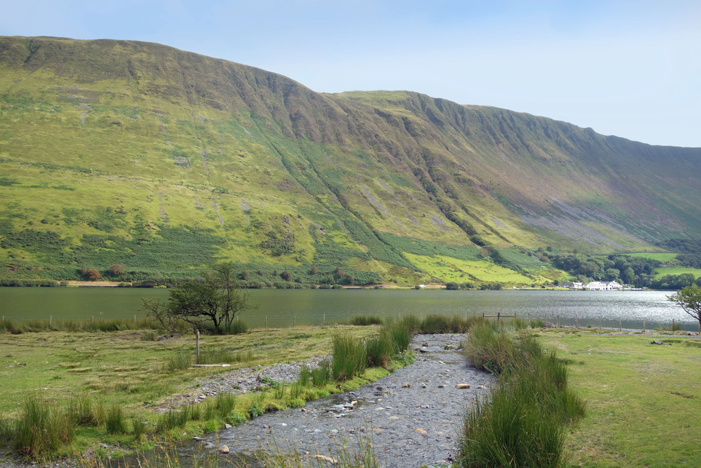
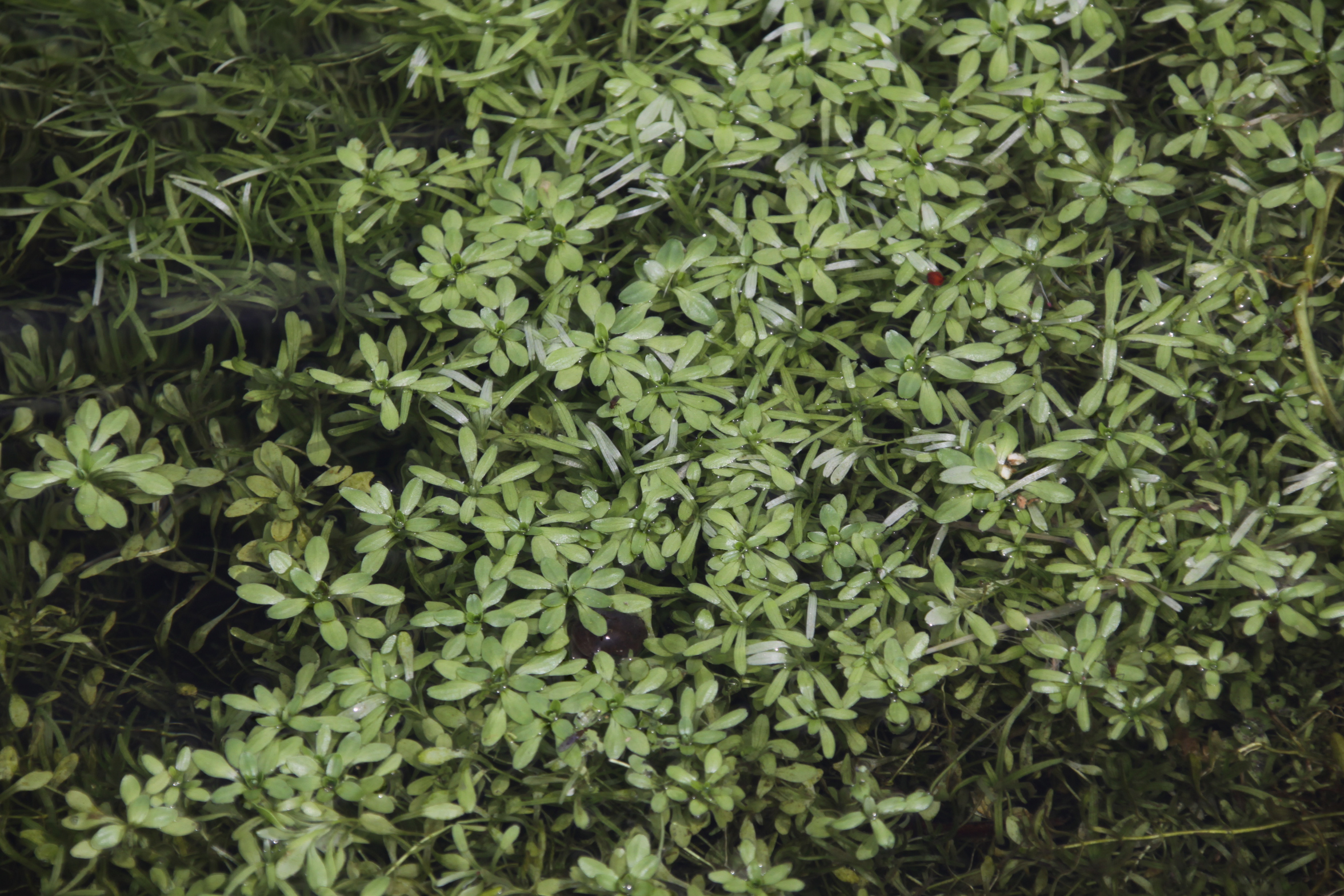
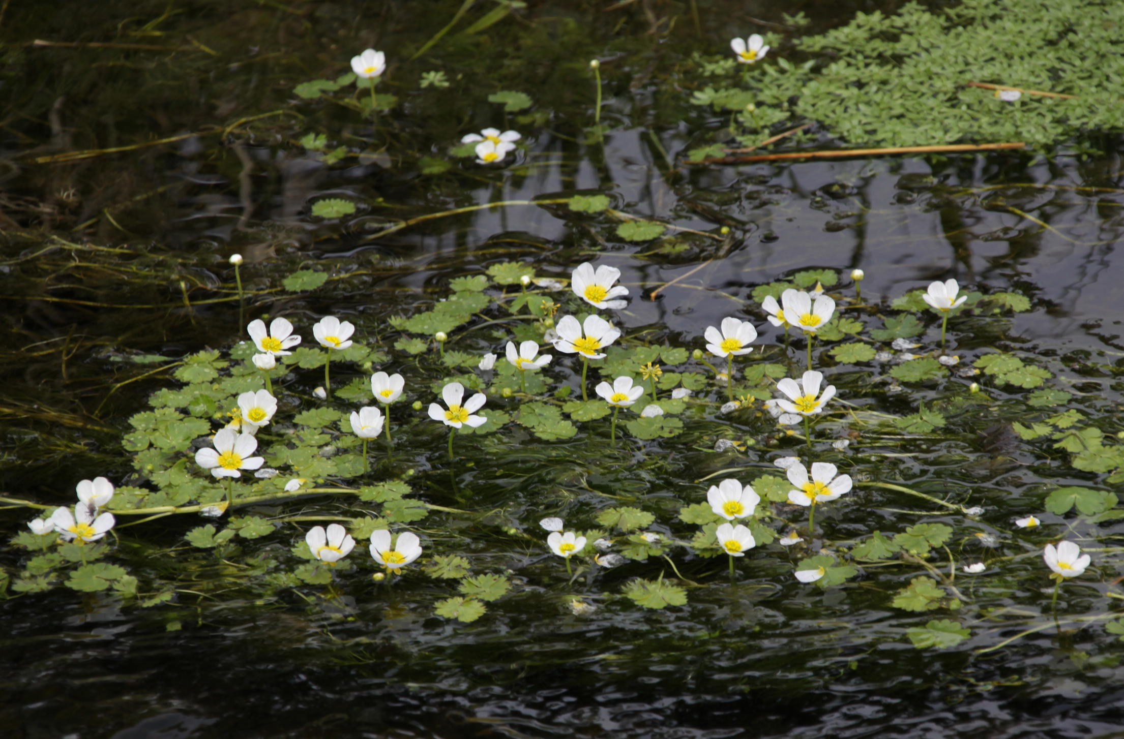
These streams pass through a large flat area of green fields used for grazing, that becomes brownish boggy marsh where it meets the lake, shown very clearly in the photograph to the right. This flat zone is the result of a build-up of alluvium dropped by steep and hanging streams, and is still expanding into the lake. The alluvial flats are created by the sudden slowing of the water as it hits the valley floor, a common feature with hanging valleys, where water drops sharply down a hillside. As soon as water stops falling and hits the flat valley surface, it slows down and instead of carrying material downstream, it drops it. The heaviest particles are dropped first, with lighter components dropped further downstream, and slowly these built up to form an alluvial plain. Where streams drop particularly steeply towards a river or lake, this effect is exaggerated.
In the case of Tal y Llyn, the valley was carved out by a glacier, lowering the level of the floor beneath the level of the tributary streams, leaving “hanging valleys,” steep, narrow v-shaped stream beds that drop sharply towards the the erosional valley floor. The streams flow with great speed down these hanging valleys towards the floor below, and slow abruptly when they hit the flat base of the glacial valley, dropping much of their load. This build-up of river sediment extends along the north-west side, under Cadair Idris, towards the middle of the lake where it develops into a broadly fan-shaped delta in front of Pentre Farm. This build up of sediment has considerably constricted the width at the top half of the lake and has reduced its length. It is easy to see, in the above photographs, that this process is ongoing and unstoppable. Eventually the lake will fill completely with alluvial deposits.

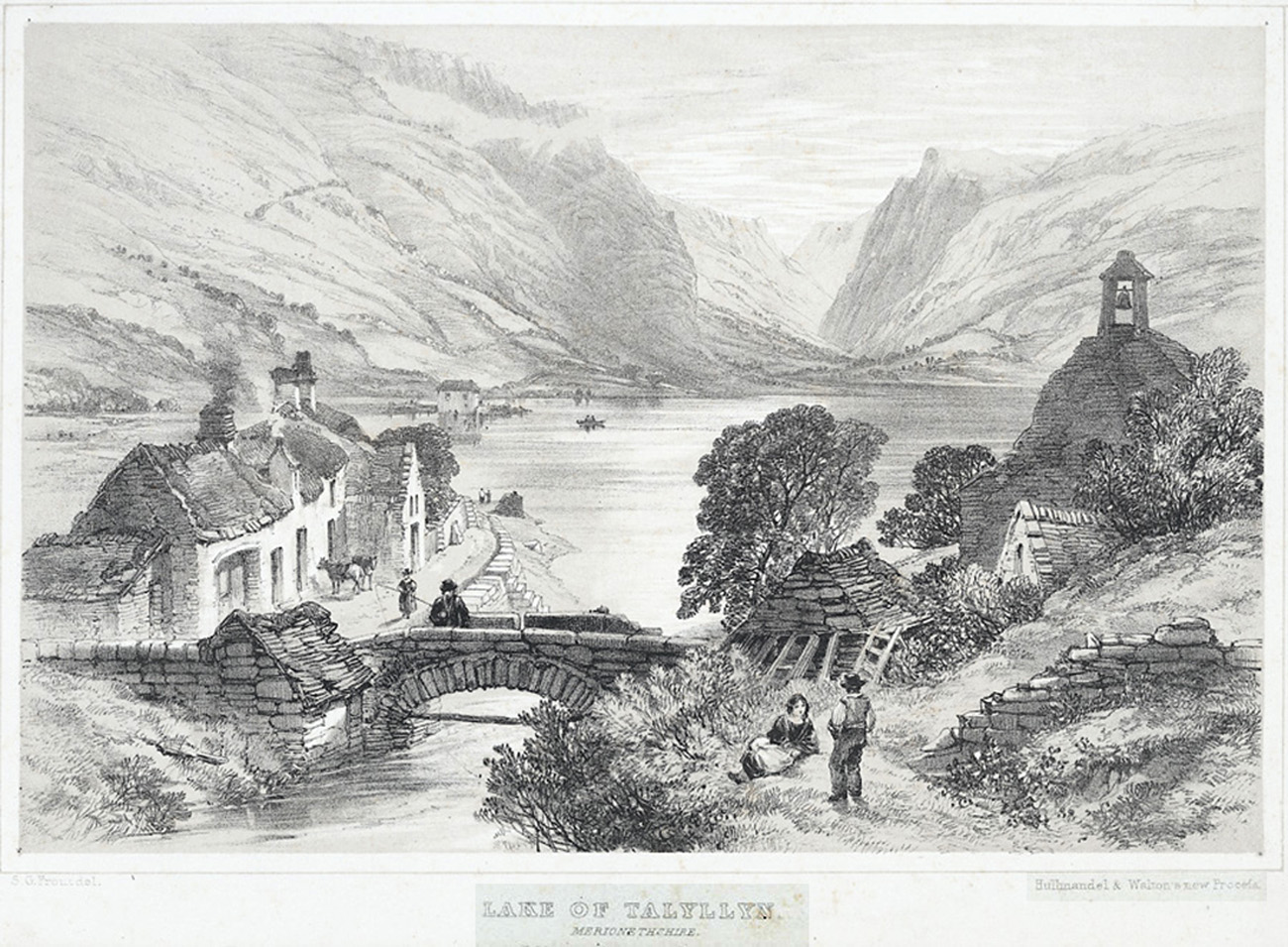
Lithograph of the lake by Samuel Prout, 1783-1852. Source: Wikipedia
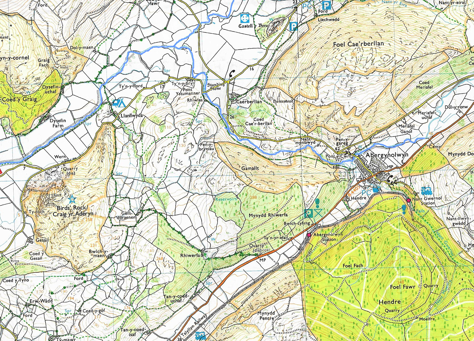
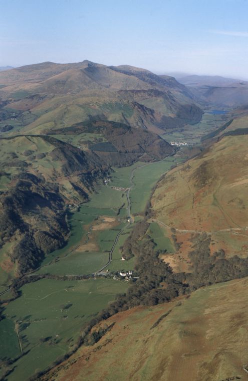
The foot of the lake opens out into the Afon/River Dysynni at the Pen y Bont hotel, through the landslip. It is crossed by the B4405 between the Pen y Bont hotel and St Mary’s church. The bridge is a very different affair from the one shown in this picture dating to the first half of the 19th Century. The river wends its way through its floodplain, along the fault line, as far as Abergynolwyn, where it joined by the Nant Gwernol and turns away from the fault line, instead heading to the northeast before again changing direction with a turn into the Dysynni valley (Dyffryn Dysynni), where it is joined by Afon Cadair before resuming its southwestern course parallel to the fault line.

Ordnance Survey Explorer Map OS23 showing the path of the river Dysynni as it changes course, having flowed out of Tal y Llyn to the northeast. I’ve loosely sketched the path of the course change in a deeper blue so that it can be seen more clearly.

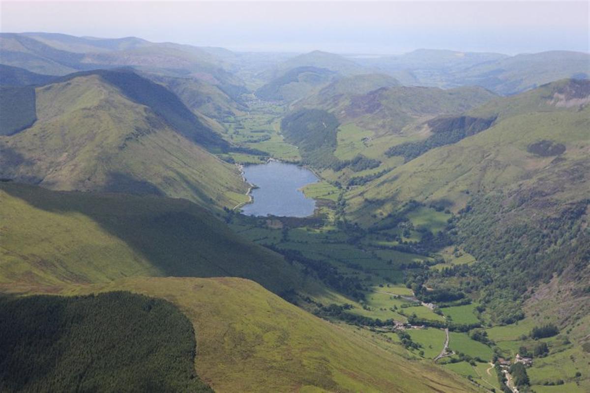
Dramatic, informative and very beautiful aerial view towards Tal Y Llyn in the background at the northwest with Abergynolwyn clearly visible as a white strip of buildings to the south of the lake, with part of the village hidden behind the large tree-covered spur (Mynydd Rhiwerfa) that intrudes into the valley. The river turns westwards before the spur at Abergynolwyn. The B4405 continues down the former river valley, following the line of the fault. The tiny cluster of white buildings in the foreground is Dolgoch. Nant Dolgoch flows into the Afon Fathew, which in turn flows into the Dysinni near Bryncrug, not far from the river’s mouth. Source: Coflein, catalogue number C821258
The Dysynni is another, and far more complicated story and will be covered on a future post.
Sources:
Howe, G.M. and Thomas, P. 1963. Welsh Landforms and Scenery. Macmillan
Etienne, J.L., Hambrey, M.J., Gasser, N.F. and Jansson, K.N. 2005. West Wales. In Lewis, C.A and Richards, A.E. The glaciations of Wales and adjacent areas. Logaston Press
Harris, C. Periglacial landforms. In (ed.) Stephens, N. Natural Landscapes of Britain from the Air. Cambridge University Press
Musson R.M.W. 2006. The enigmatic Bala earthquake of 1974. Astronomy & Geophysics, Volume 47, Issue 5, October 2006, p.5.11–5.1
https://academic.oup.com/astrogeo/article/47/5/5.11/231627
Shakesby, R. 1990. Landforms of glacial and fluvioglacial deposition. In (ed.) Stephens, N. Natural Landscapes of Britain from the Air. Cambridge University Press
Watson, E. 1962. The Glacial Morphology of the Tal-y-llyn Valley, Merionethshire. Transactions and Papers (Institute of British Geographers) No. 30 (1962), published by Wiley on behalf of The Royal Geographical Society (with the Institute of British Geographers), p. 15-31.
Websites:
Coflein website

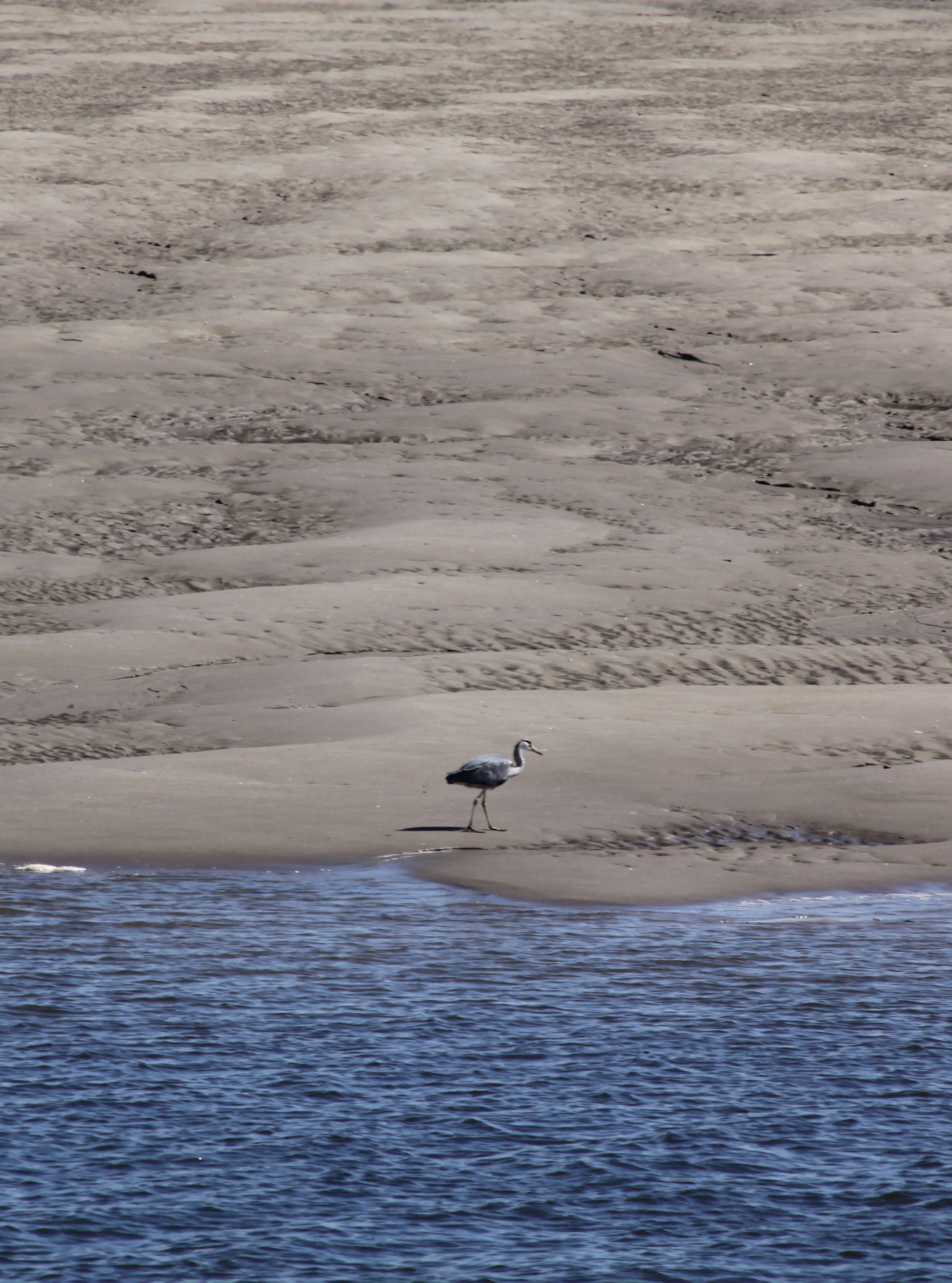
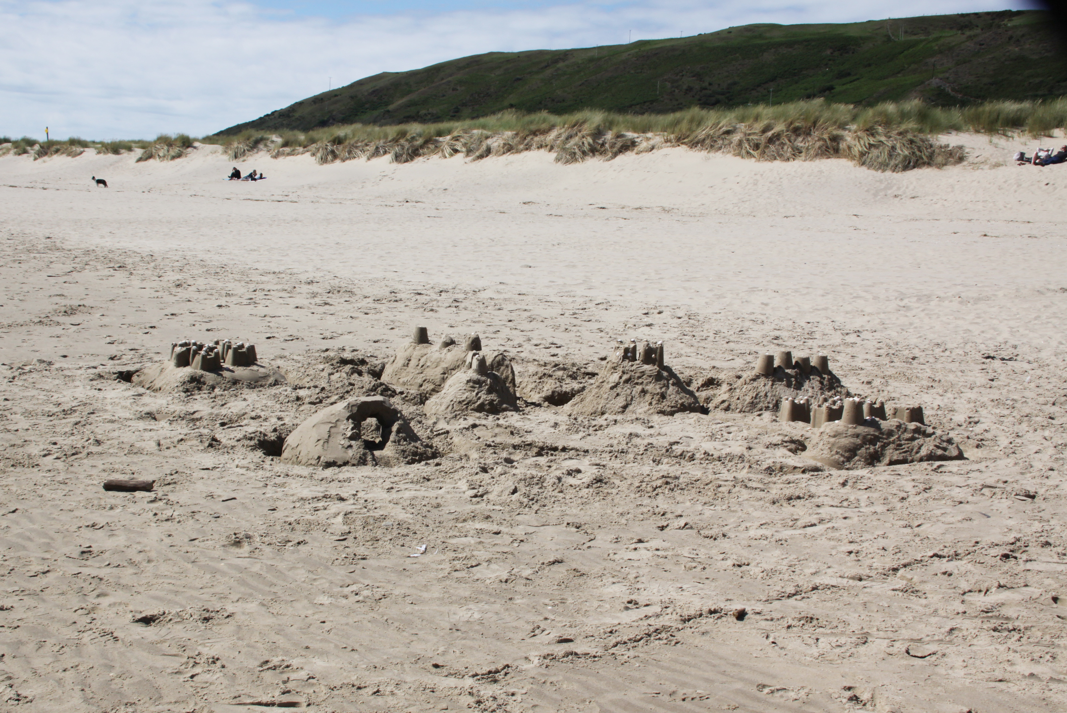
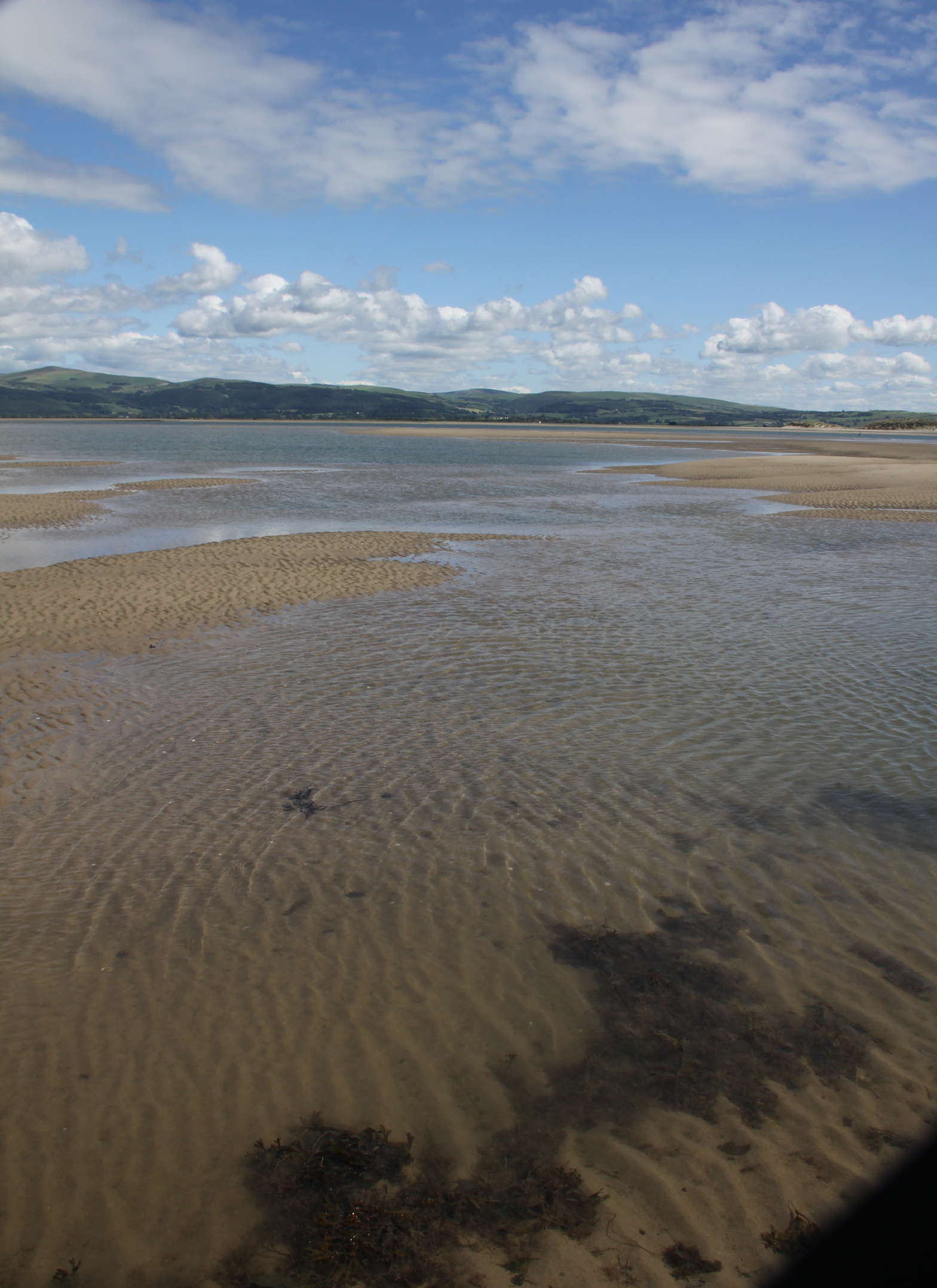
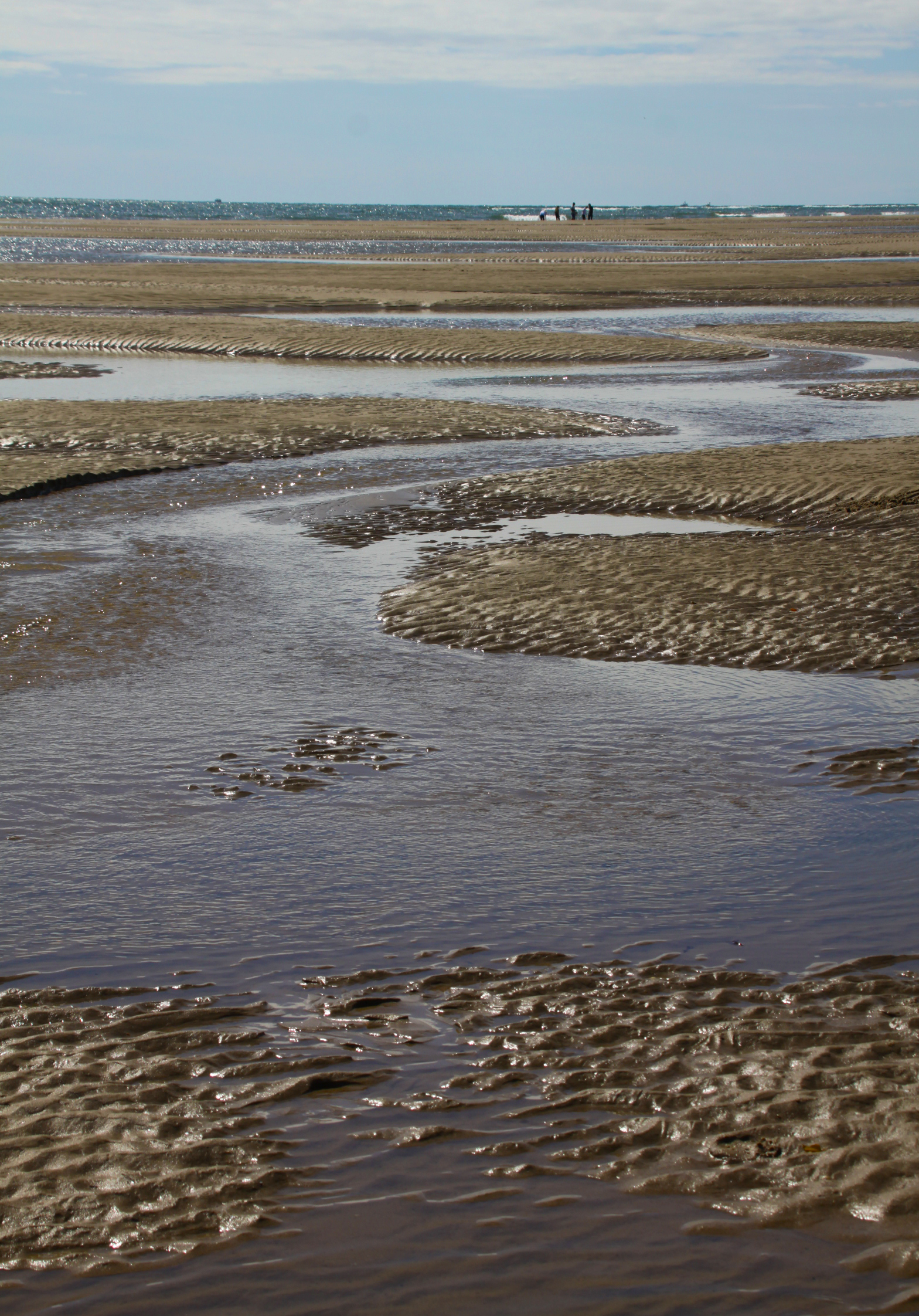
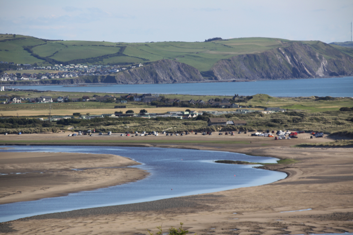
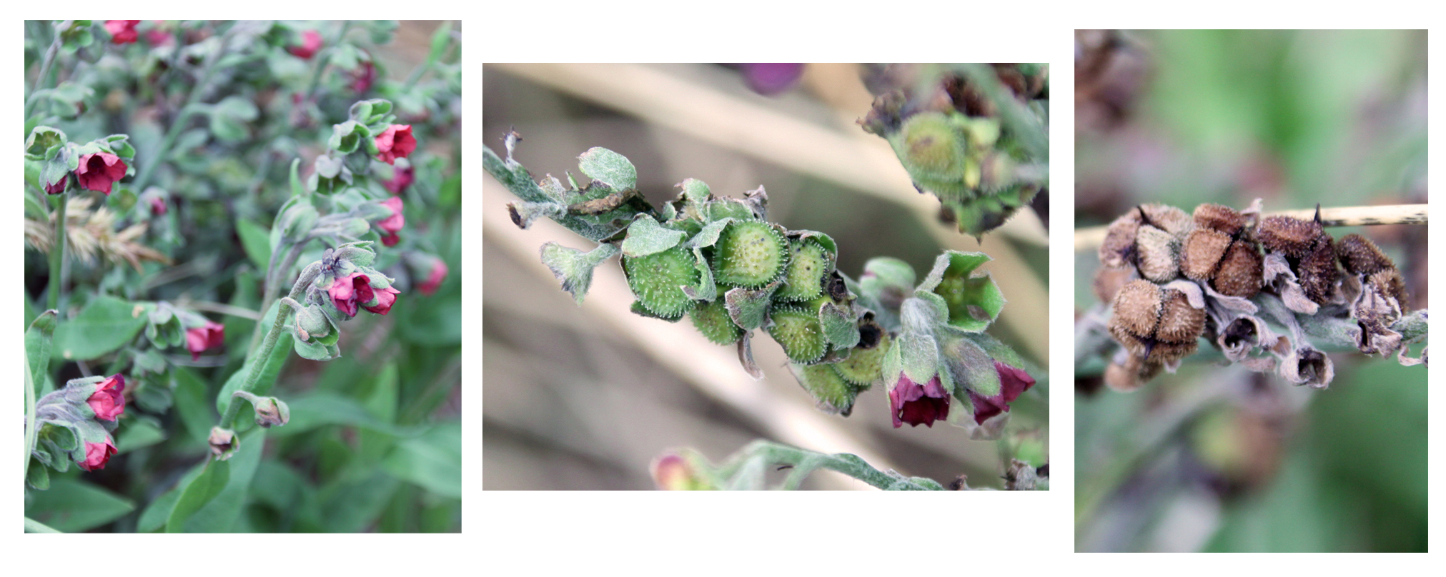
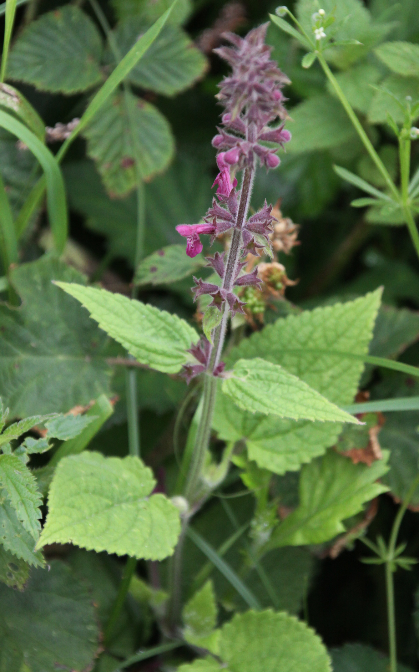
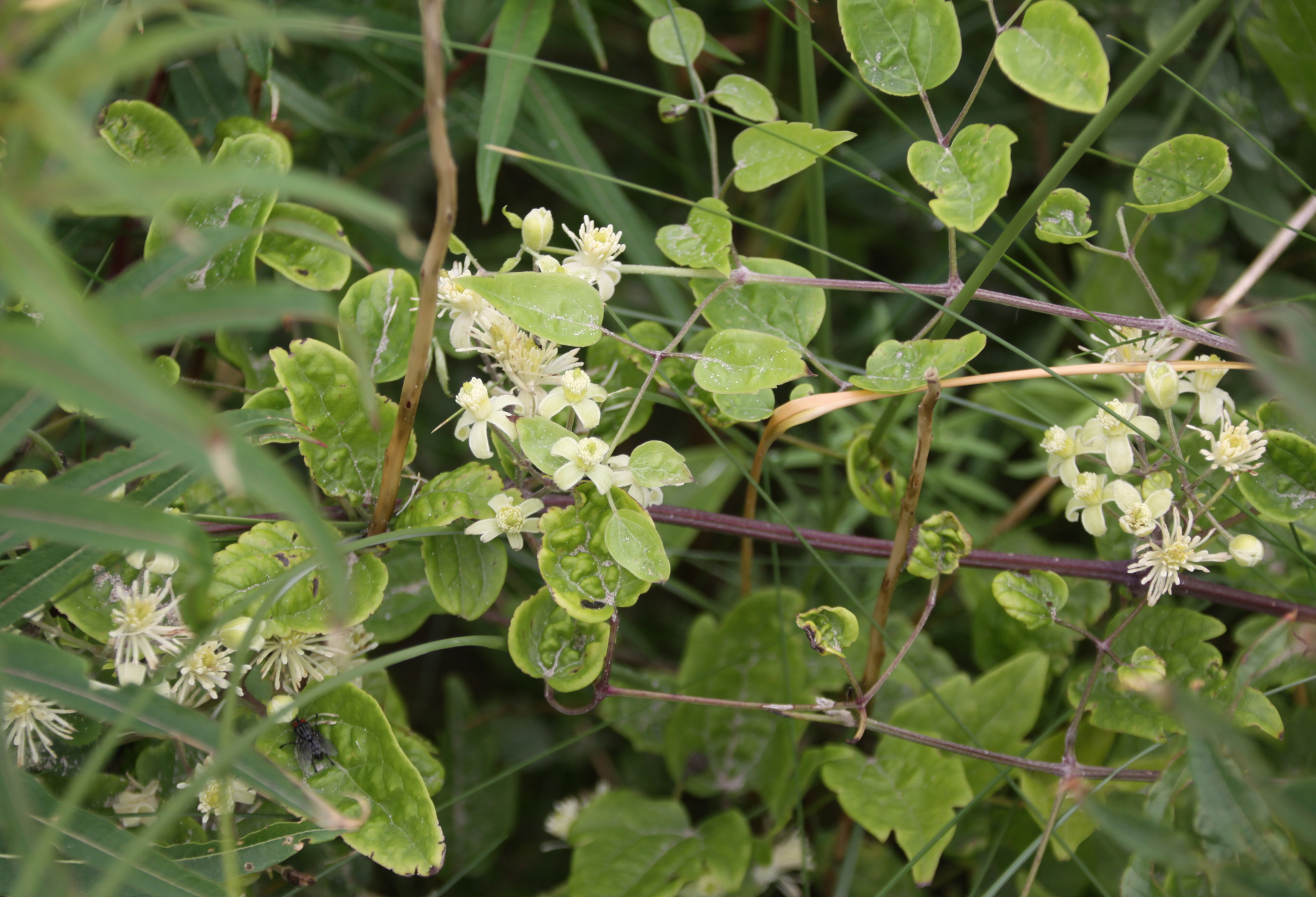
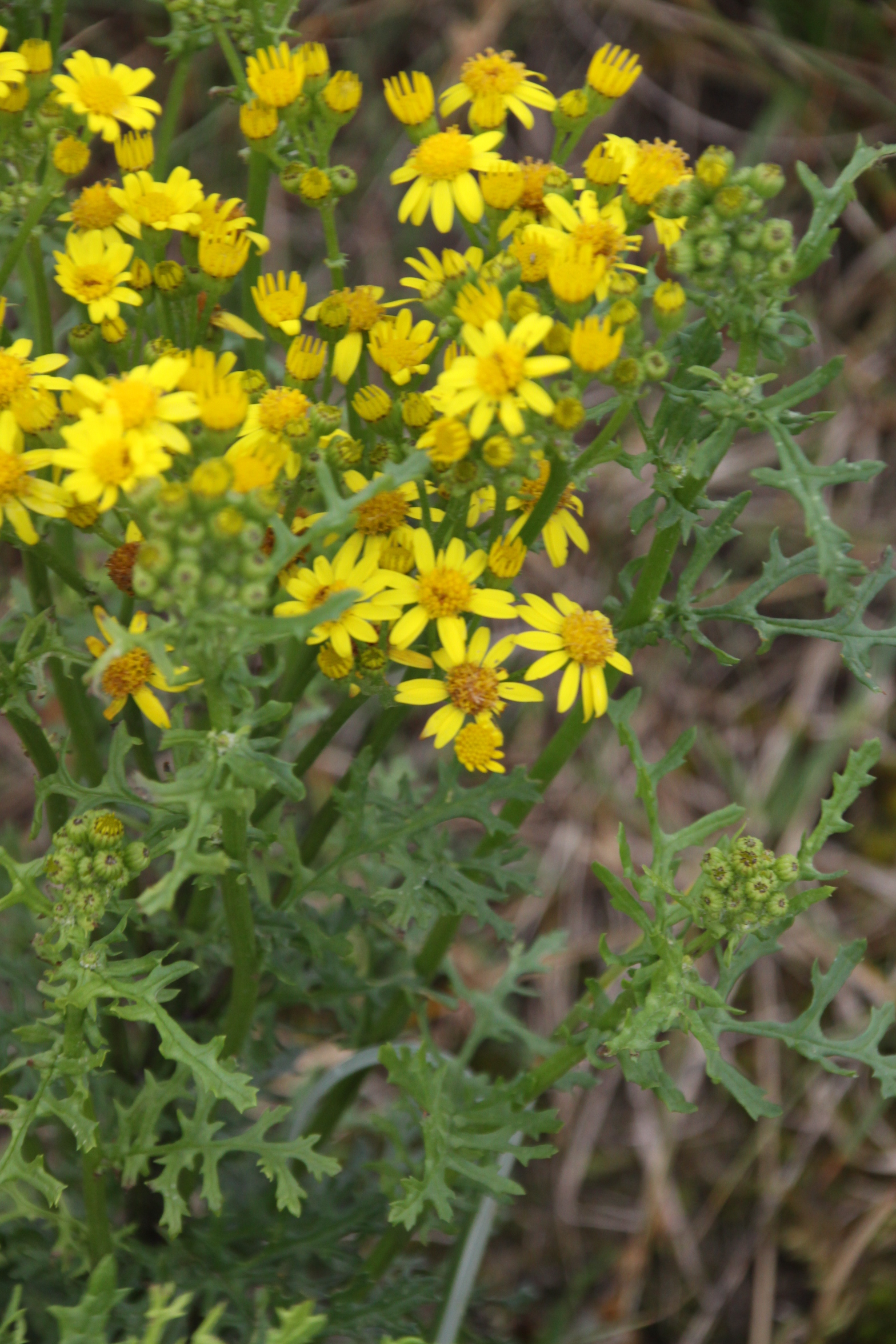
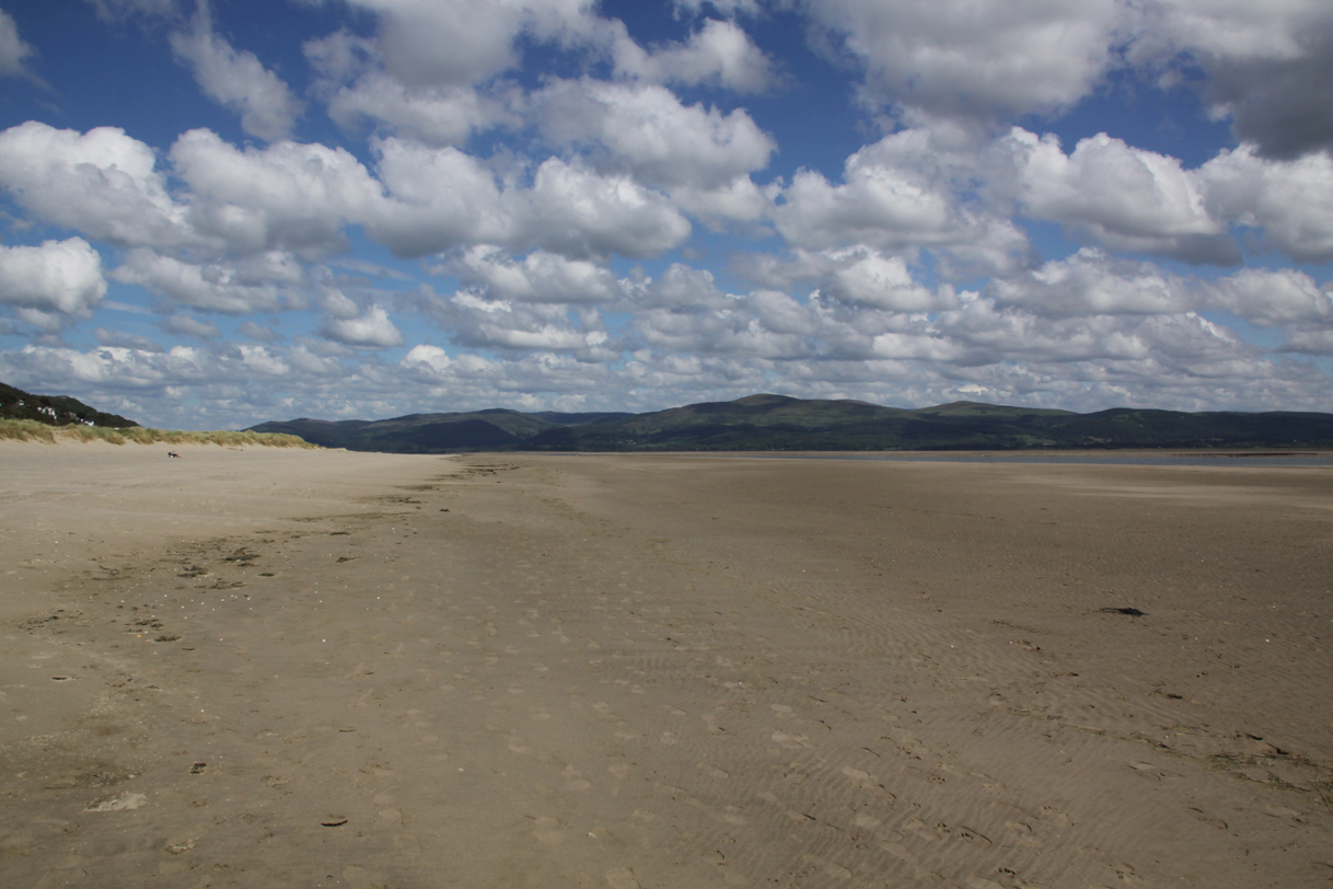
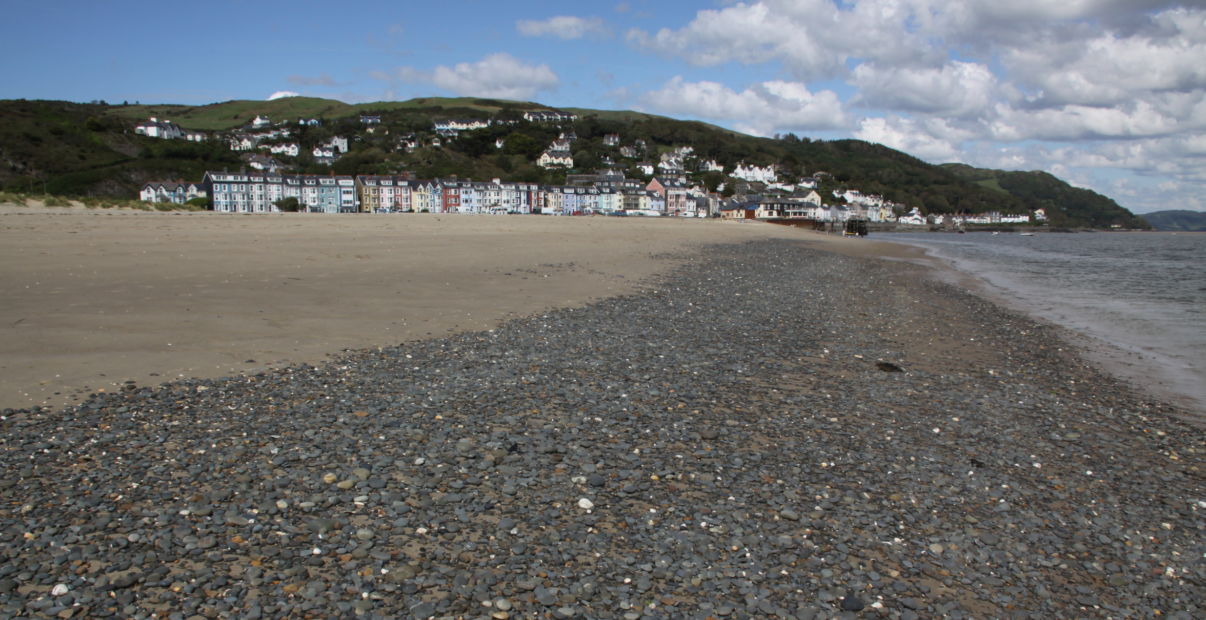
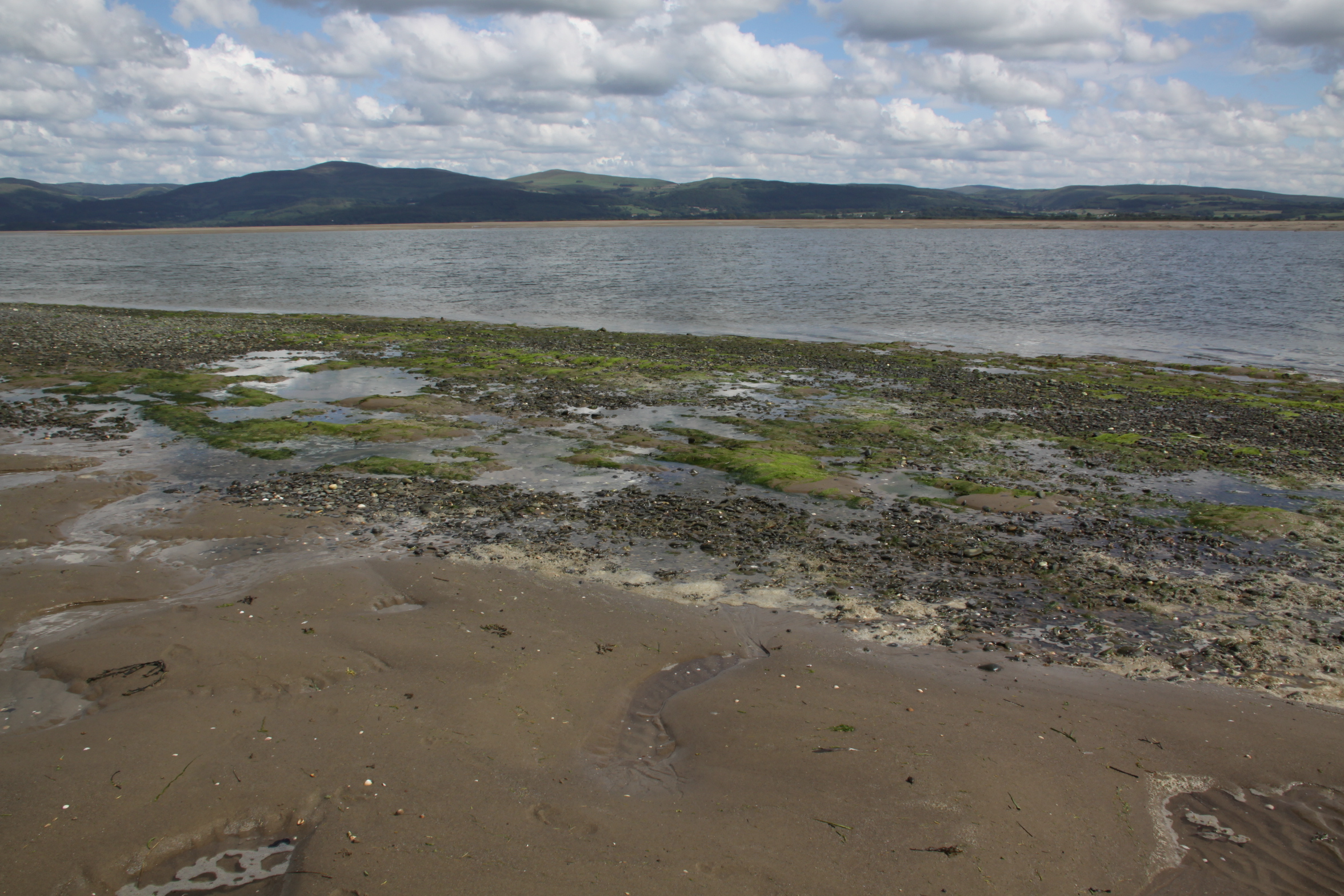
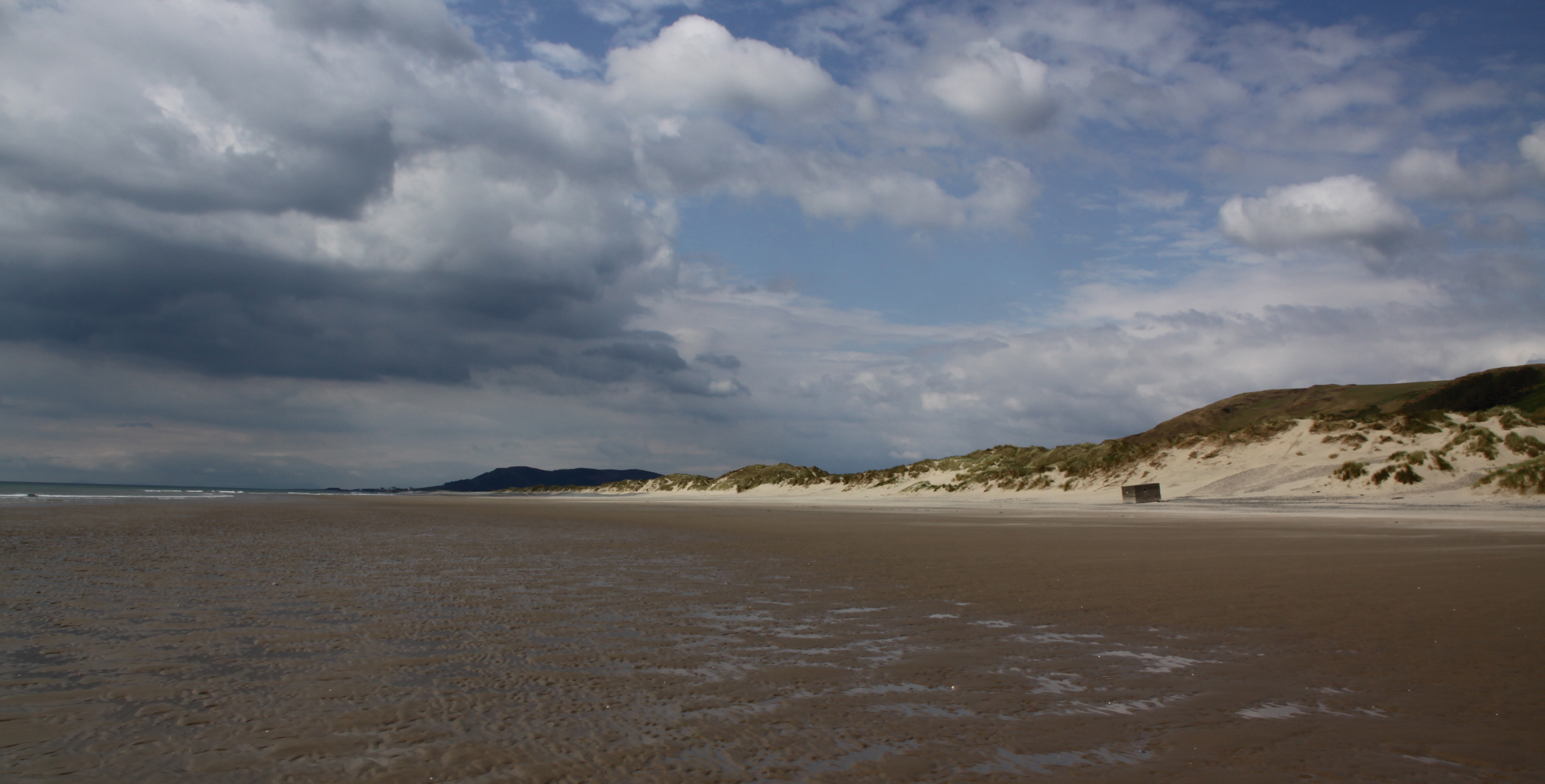
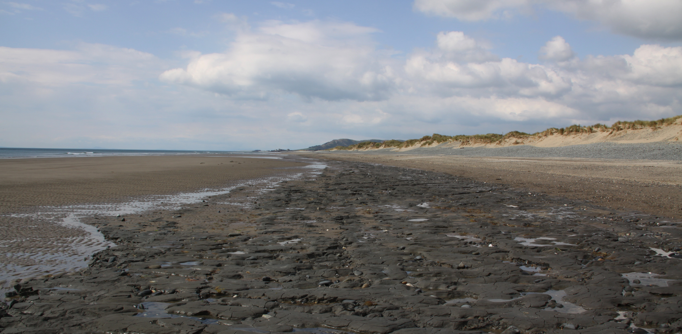
 I was quite mad to drive into Tywyn at 10 to 4 on Friday, just as the tourist season was belatedly kicking off, and paid the price in the form of a short queue to get into the Co-Op (the first time I’ve had to queue) and the joys of dodging some truly execrable driving and parking in Aberdovey itself. So on Monday afternoon, although its great that the visitors have returned, it was something of a relief to take the footpath from the top of Church Street down into Penhelig, avoiding the vehicular chaos in Aberdovey itself. We walked through the Memorial Park and part way along the estuary, which was as stunning as usual, with lovely views, and people fishing and kayaking. There was a heron on a sandbank, the first I have seen in the estuary, although a few years ago I saw one in a similar situation in Port Meirion so I suppose that they are happy in brackish waters when there are sufficient fish to tempt them.
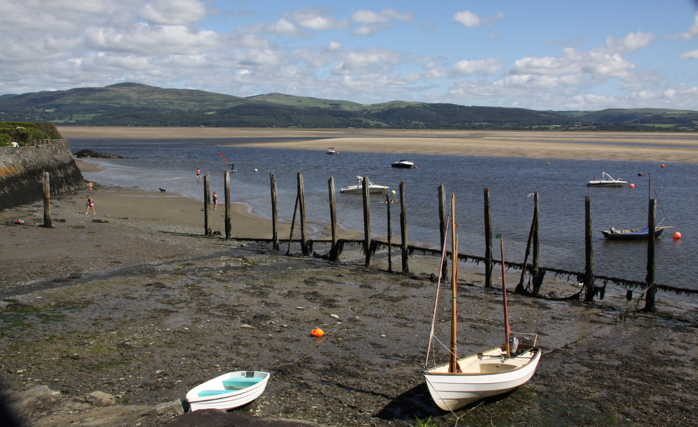


